Elevation map of Makueni County, Kenya
Location: Kenya >
Longitude: 37.8936663
Latitude: -2.2558734
Elevation: 950m / 3117feet
Barometric Pressure: 90KPa
Elevation Map:
Satellite Map:
Related Photos:

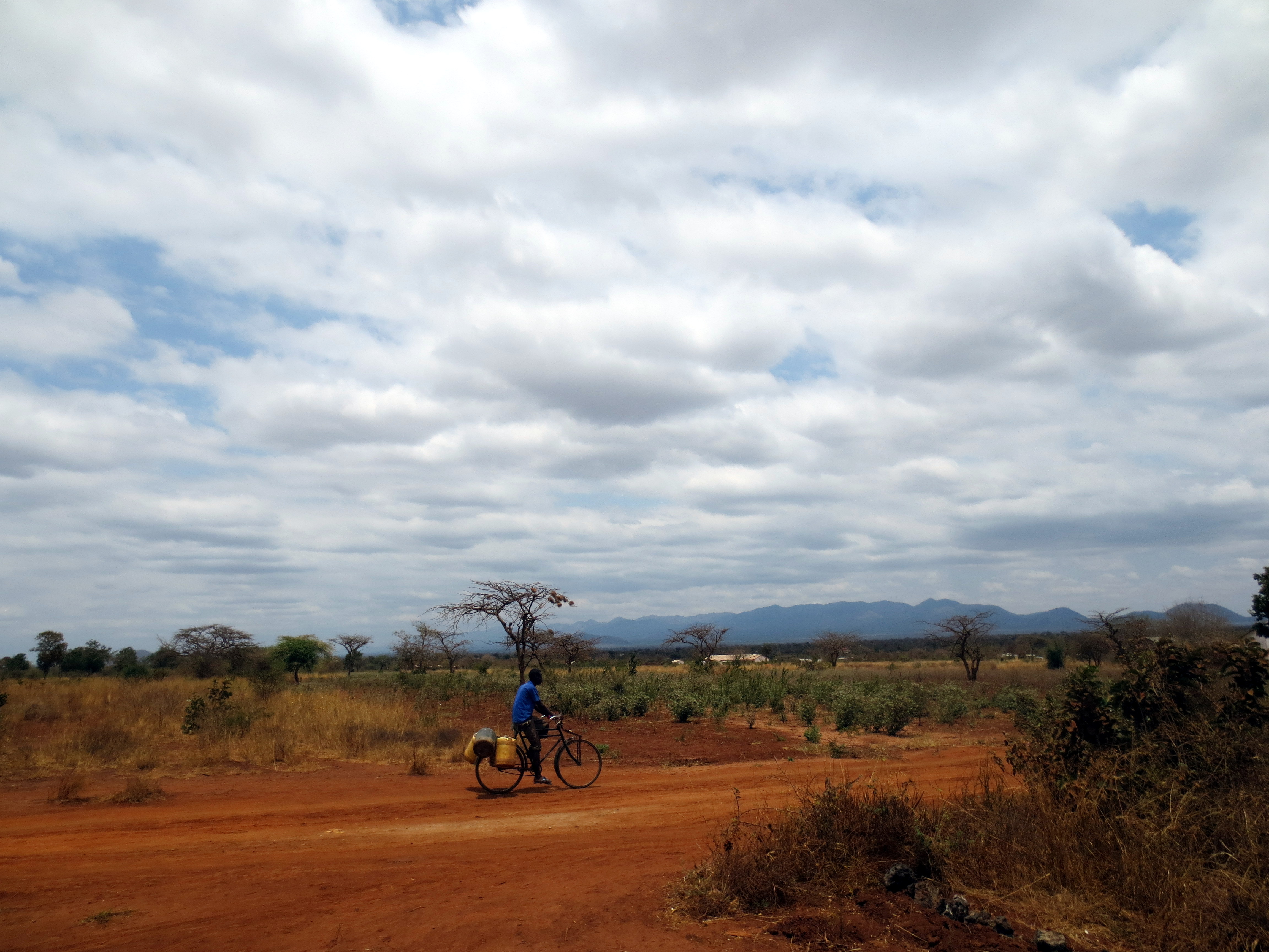
Syumile Dispensary
Ilatu Community Health Unit

Syumile Dispensary

Mr. Joram Onditi and the students in Syumile

Teacher Festus Mwilu and Project Officer Joram Onditi

Festus and Joram in discussion

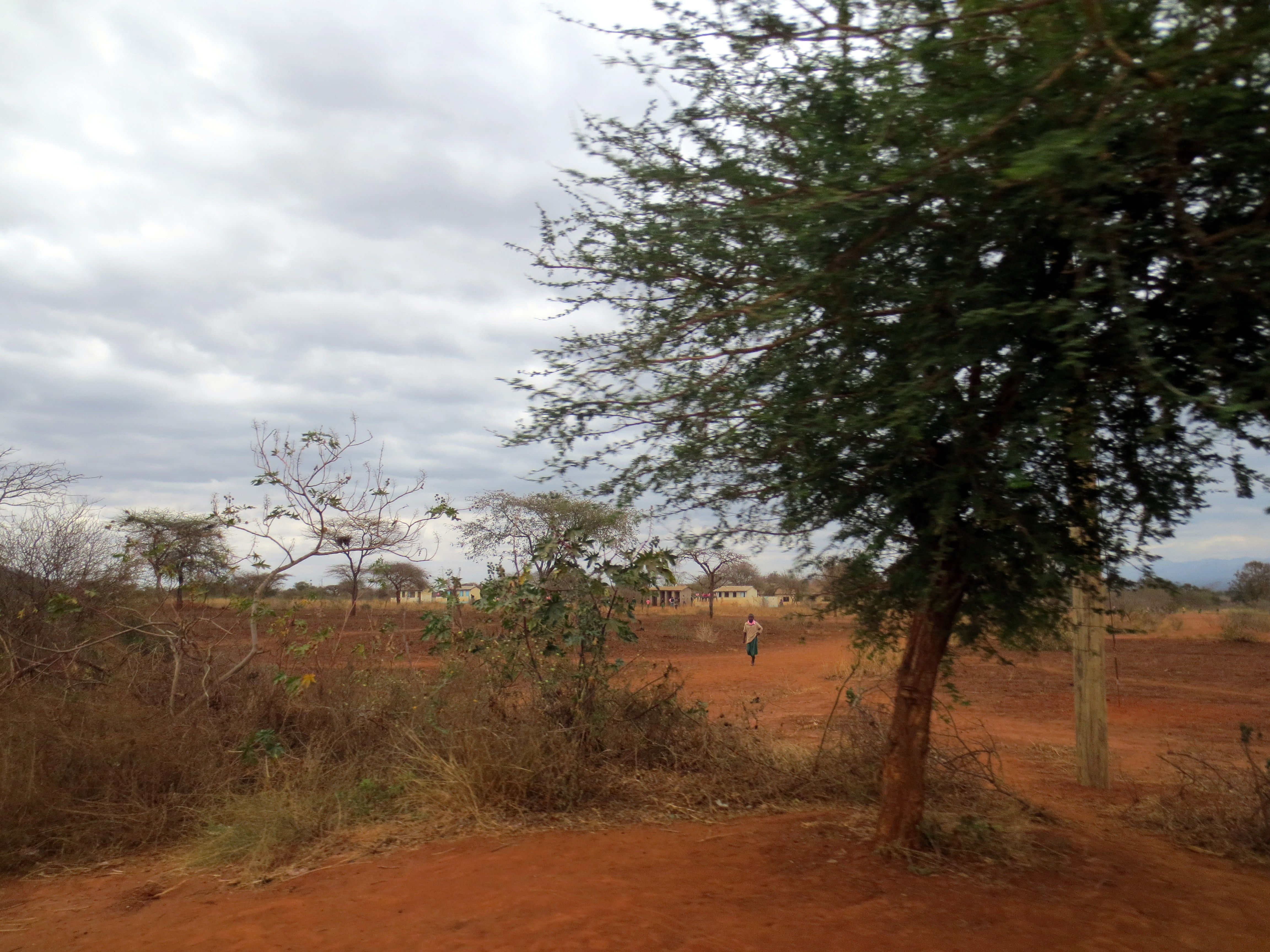
Outside of Syumile Primary School

Joram Onditi meets with Head Teacher Mr. Barnabas Kuo Muoki

Barnabas is happy about the demonstration gardens
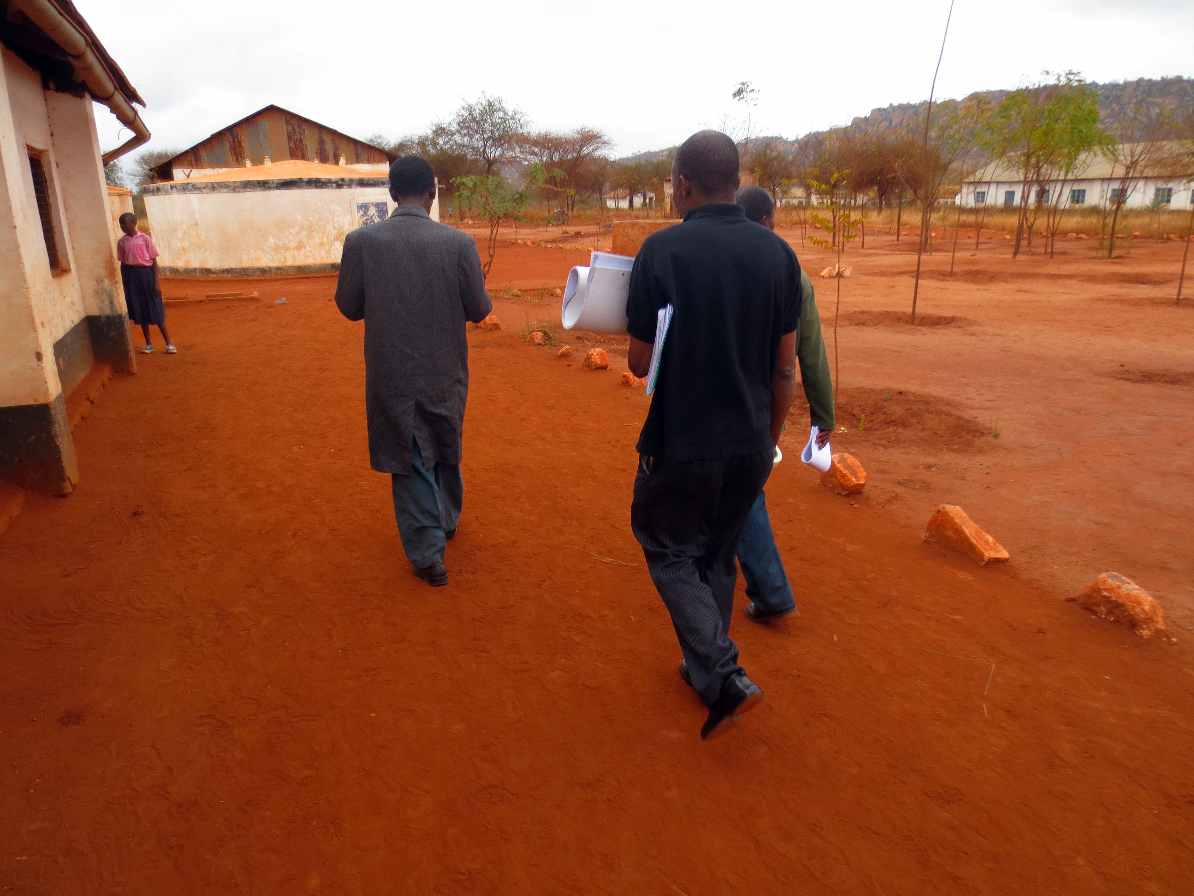
Walking to class

Mr. Festus Mwilu and his eager students

Mt Kilimanjaro from airplane 6

Mt Kilimanjaro from airplane 7
Ilatu Community Health Unit

Mr. Charles Murikuki, Kenya Agricultural Research Institute, David Matheka, Chair of CHWs at Ilatu and Joram Onditi
Ilatu Community Health Unit
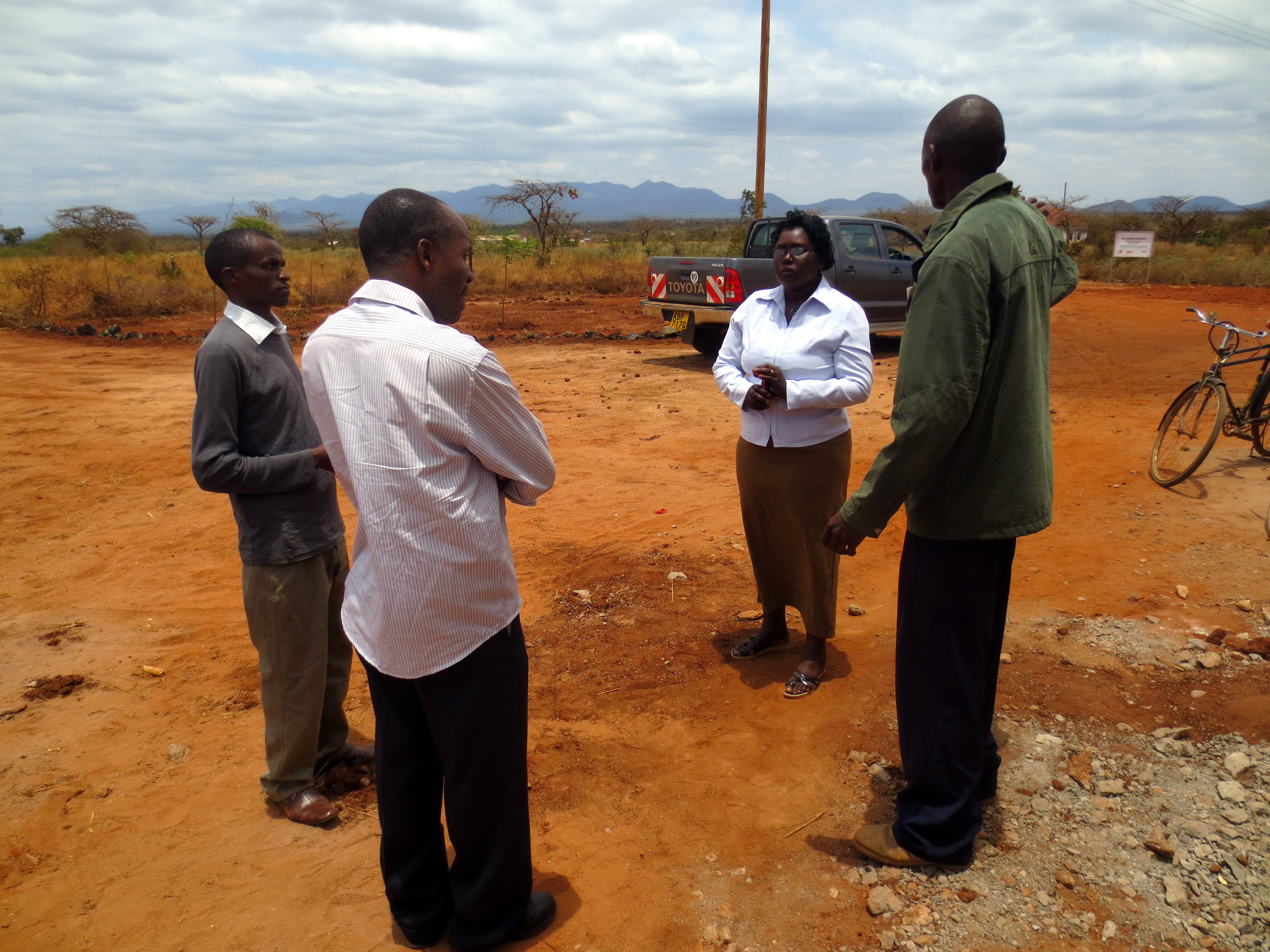
Mr. Charles Murikuki, Joram Onditi, Ms. Ginapina Mwende Nguta, Treasurer of the Facility and Fred Nyamai, Facility Management Chairperson
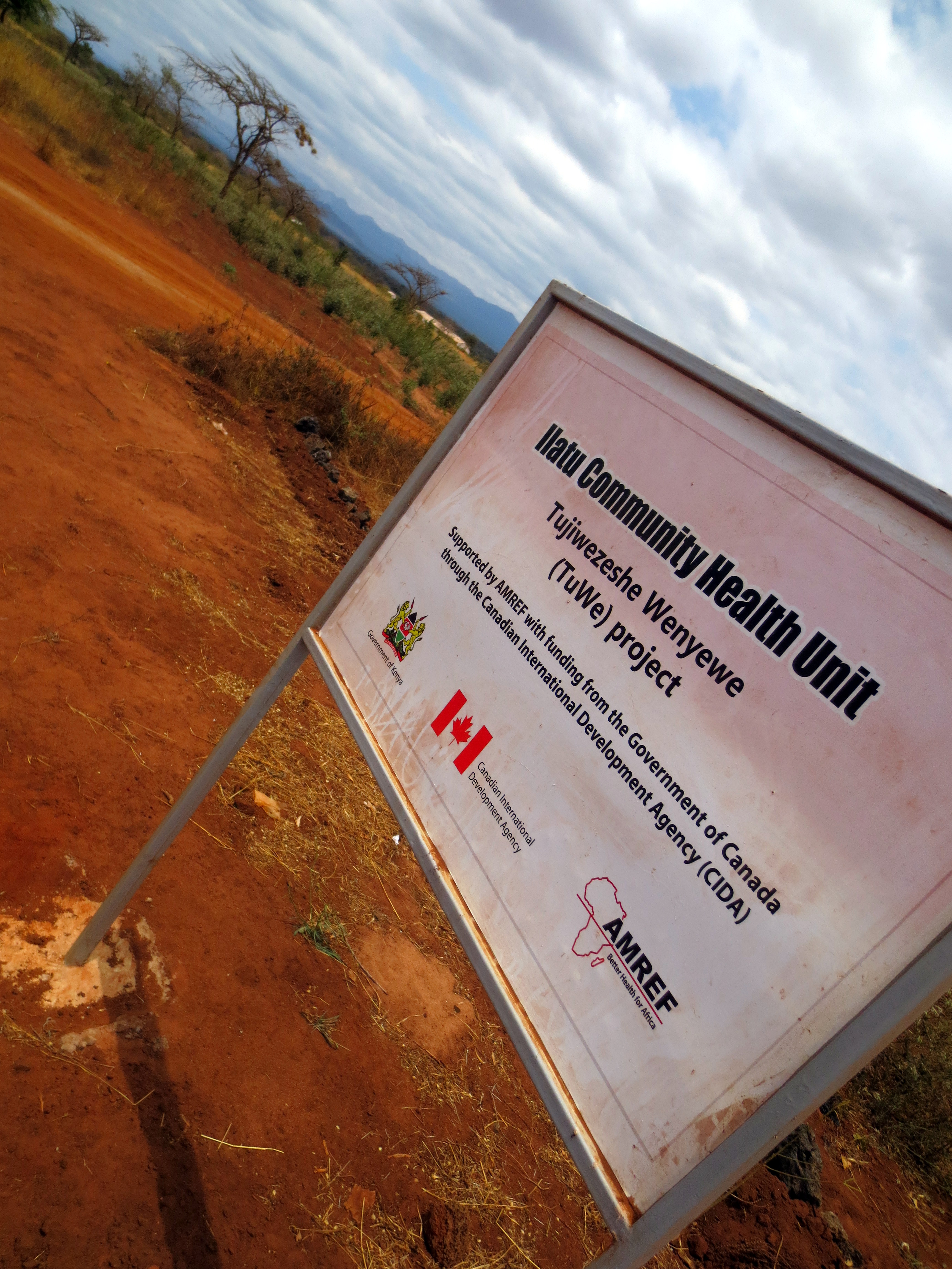
Ilatu Community Health Unit
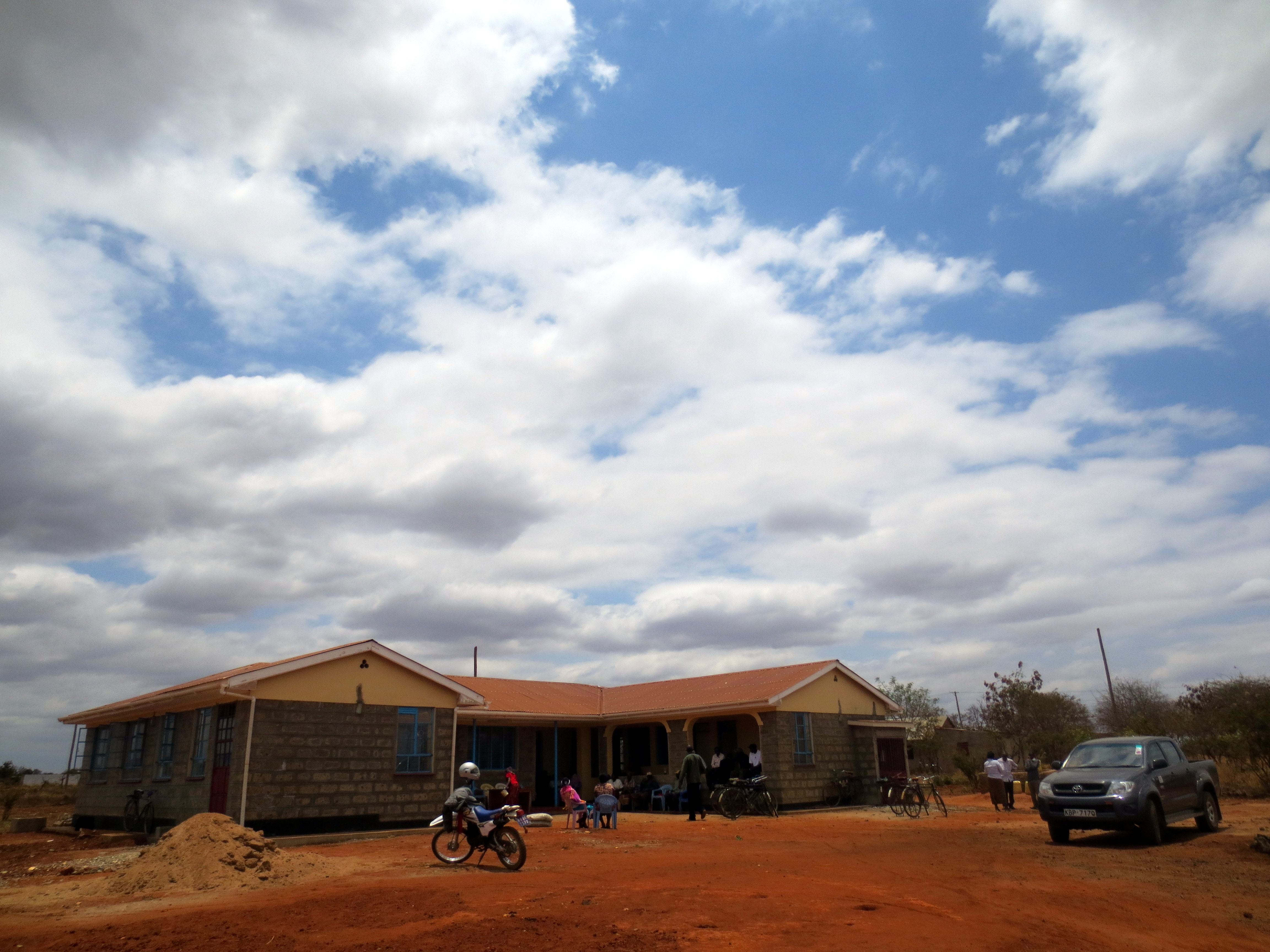
Ilatu Community Health Unit

Ilatu Community Health Unit
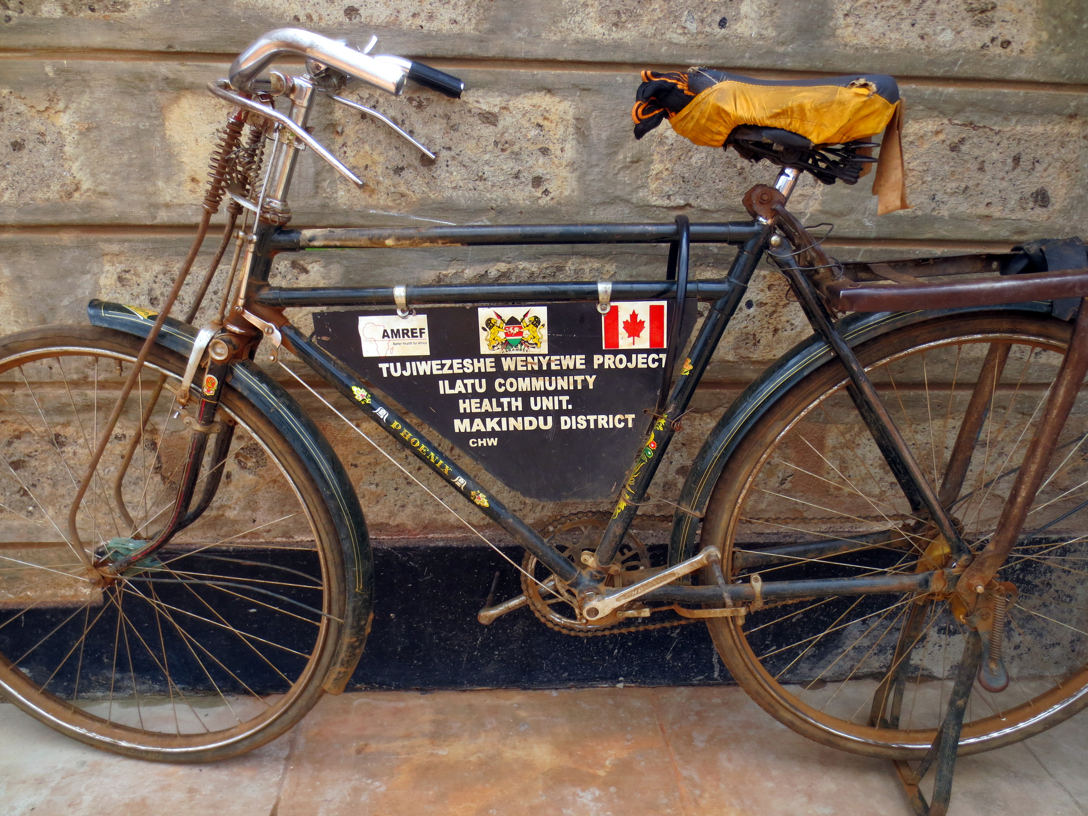
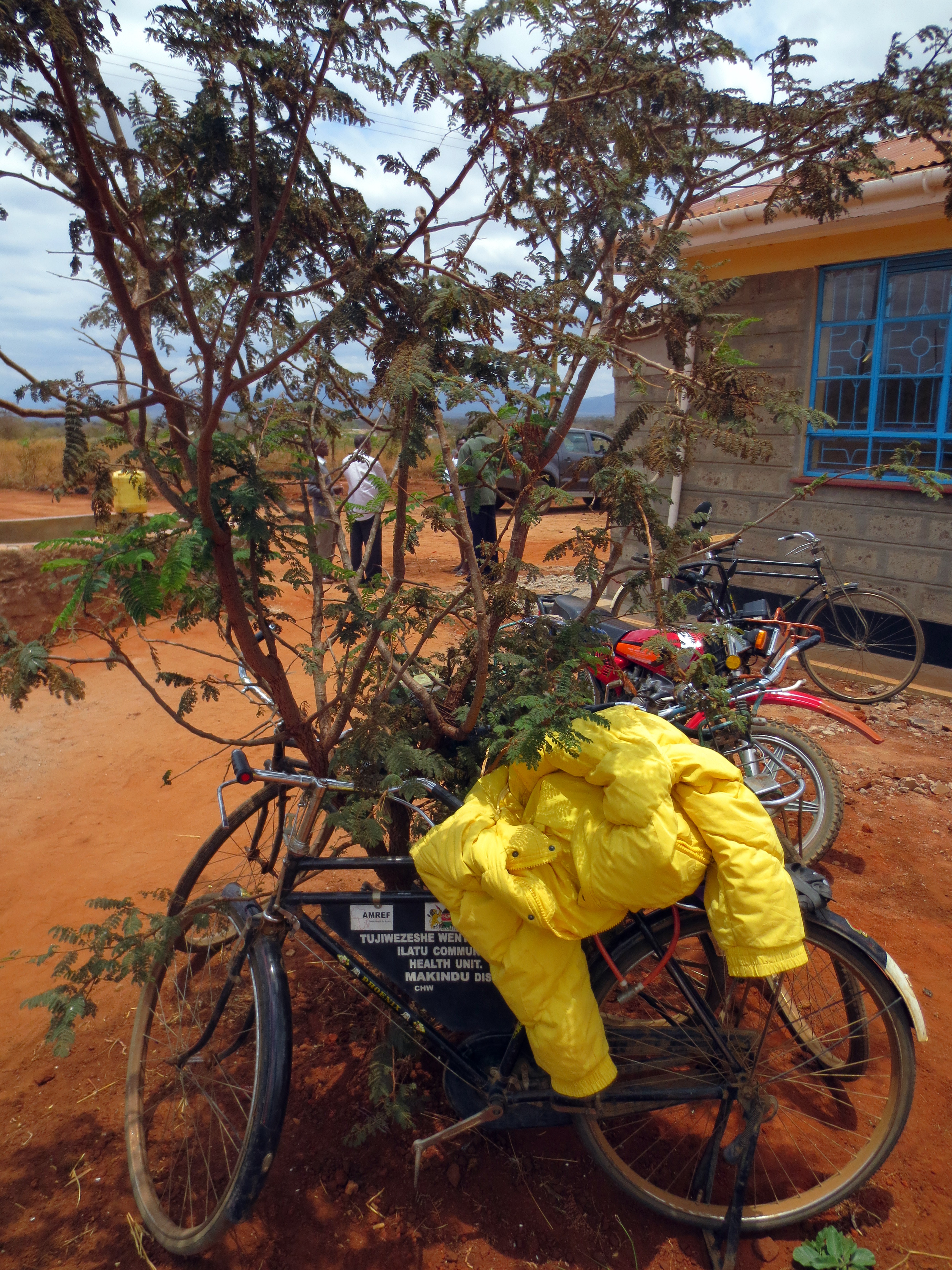
Bicycles provided to the CHWs at Ilatu CHU
Topographic Map of Makueni County, Kenya
Find elevation by address:

Places in Makueni County, Kenya:
Places near Makueni County, Kenya:
Kalamba
Ilmukutani Primary School
Kibini
Kimana
Kibo Safari Camp
Amboseli Serena Safari Lodge
Ol Tukai
Amboseli National Park
Ikalaasa
Amboseli
Lake Amboseli
Masii
Machakos
Lianai
Kajiado County
Namanga Border Crossing
Namanga
Kajiado
Kisaju
Athi River
Recent Searches:
- Elevation of Corso Fratelli Cairoli, 35, Macerata MC, Italy
- Elevation of Tallevast Rd, Sarasota, FL, USA
- Elevation of 4th St E, Sonoma, CA, USA
- Elevation of Black Hollow Rd, Pennsdale, PA, USA
- Elevation of Oakland Ave, Williamsport, PA, USA
- Elevation of Pedrógão Grande, Portugal
- Elevation of Klee Dr, Martinsburg, WV, USA
- Elevation of Via Roma, Pieranica CR, Italy
- Elevation of Tavkvetili Mountain, Georgia
- Elevation of Hartfords Bluff Cir, Mt Pleasant, SC, USA