Elevation of Kennedy Hill Rd, Tatamagouche, NS B0K 1V0, Canada
Location: Canada > Nova Scotia > Colchester County > Colchester, Subd. B >
Longitude: -63.317241
Latitude: 45.65747
Elevation: 53m / 174feet
Barometric Pressure: 0KPa
Related Photos:

Snail's Pace

Common Green Darner - Nova Scotia
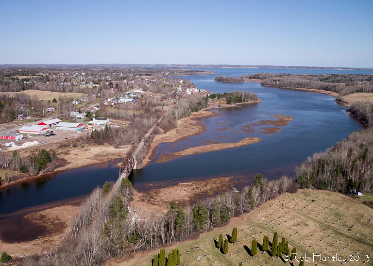
Aerial view of the town of Tatamagouche, Nova Scotia alongside the Waugh River - Kite Aerial Photography (KAP)

Aerial view of the town of Tatamagouche, Nova Scotia alongside the Waugh River - Kite Aerial Photography (KAP)

Aerial view of the Waugh River flowing past Tatamagouche, Nova Scotia - Kite Aerial Photography (KAP)
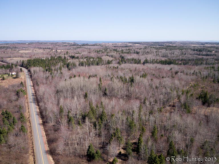
Aerial view of a road through the countryside near Tatamagouche, Nova Scotia - Kite Aerial Photography (KAP)

Atlantic Ocean / view of where we're staying from the Atlantic Ocean. #greasemarks #private beach #maritimerockabillyshakedown #nolittlemarks
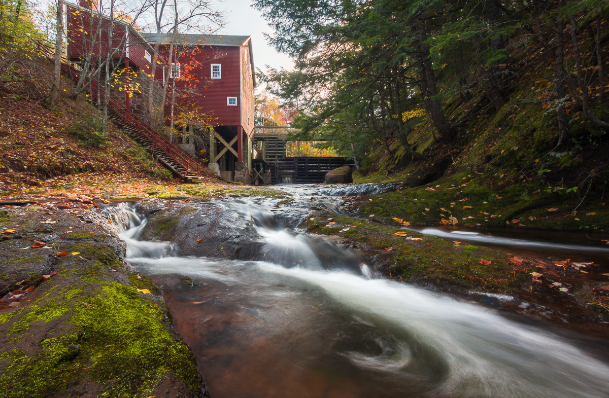
Balmoral Grist Mill

Balmoral Grist Mill

Low Tide
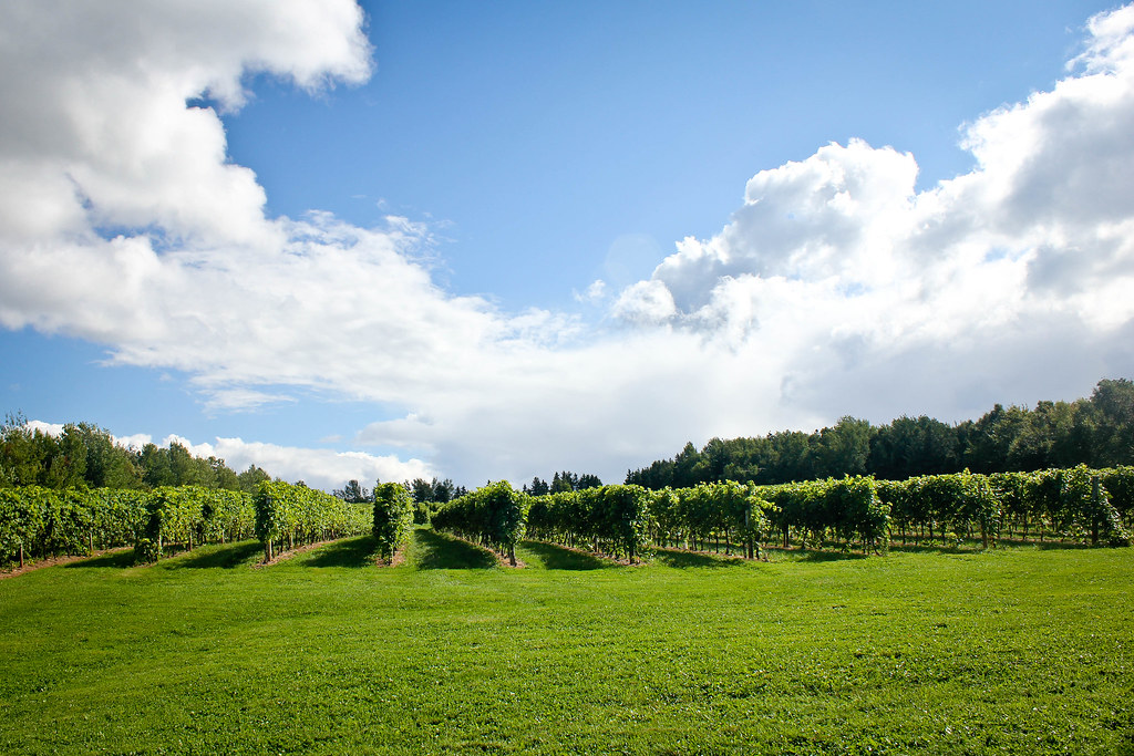
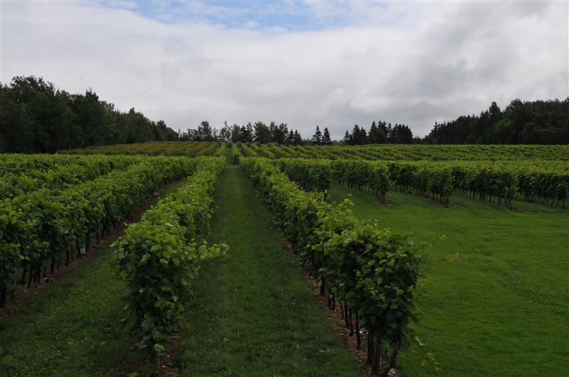
Jost Vineyard
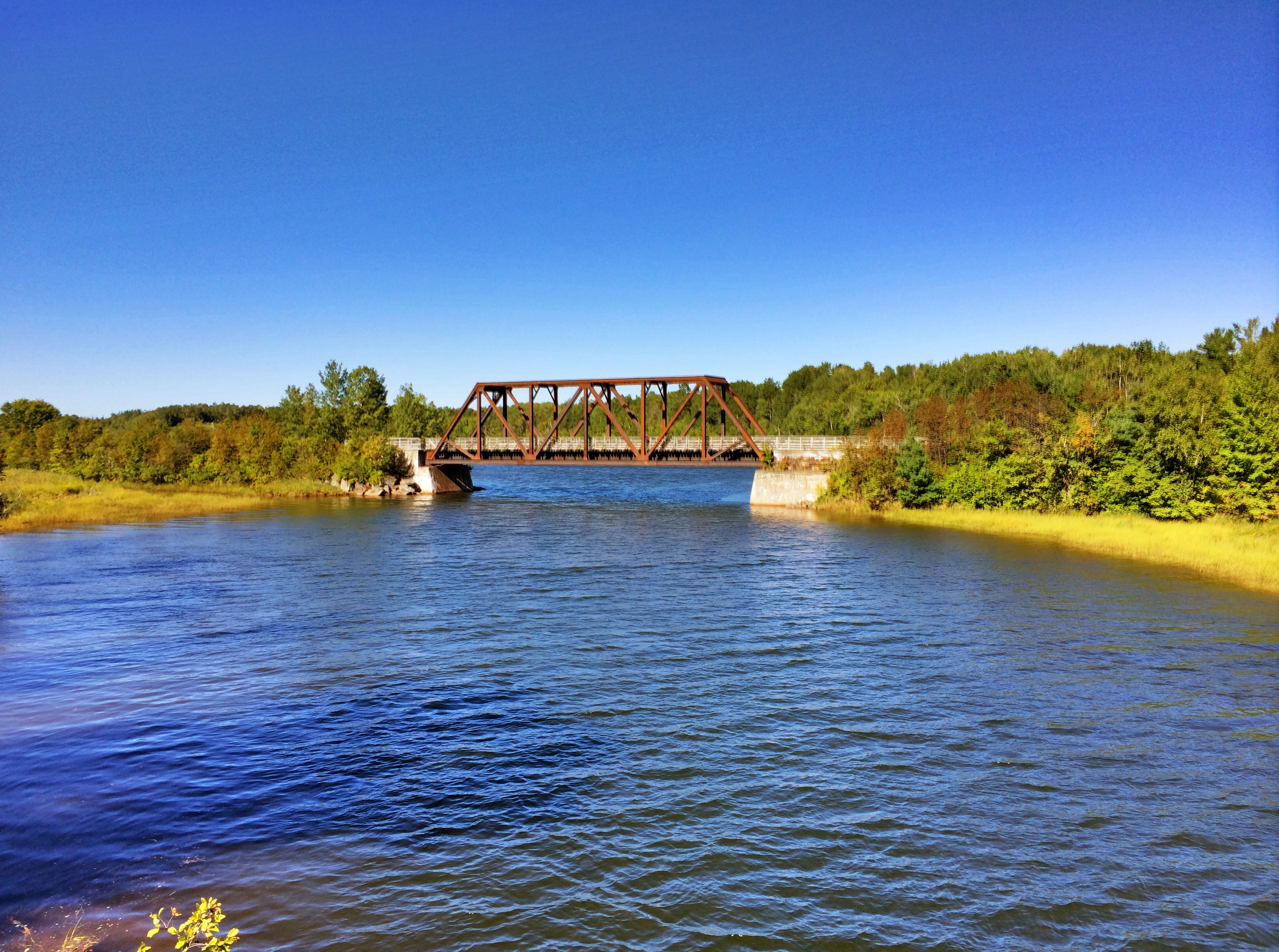
Tatamagouche Bridge
_DSC4315.jpg
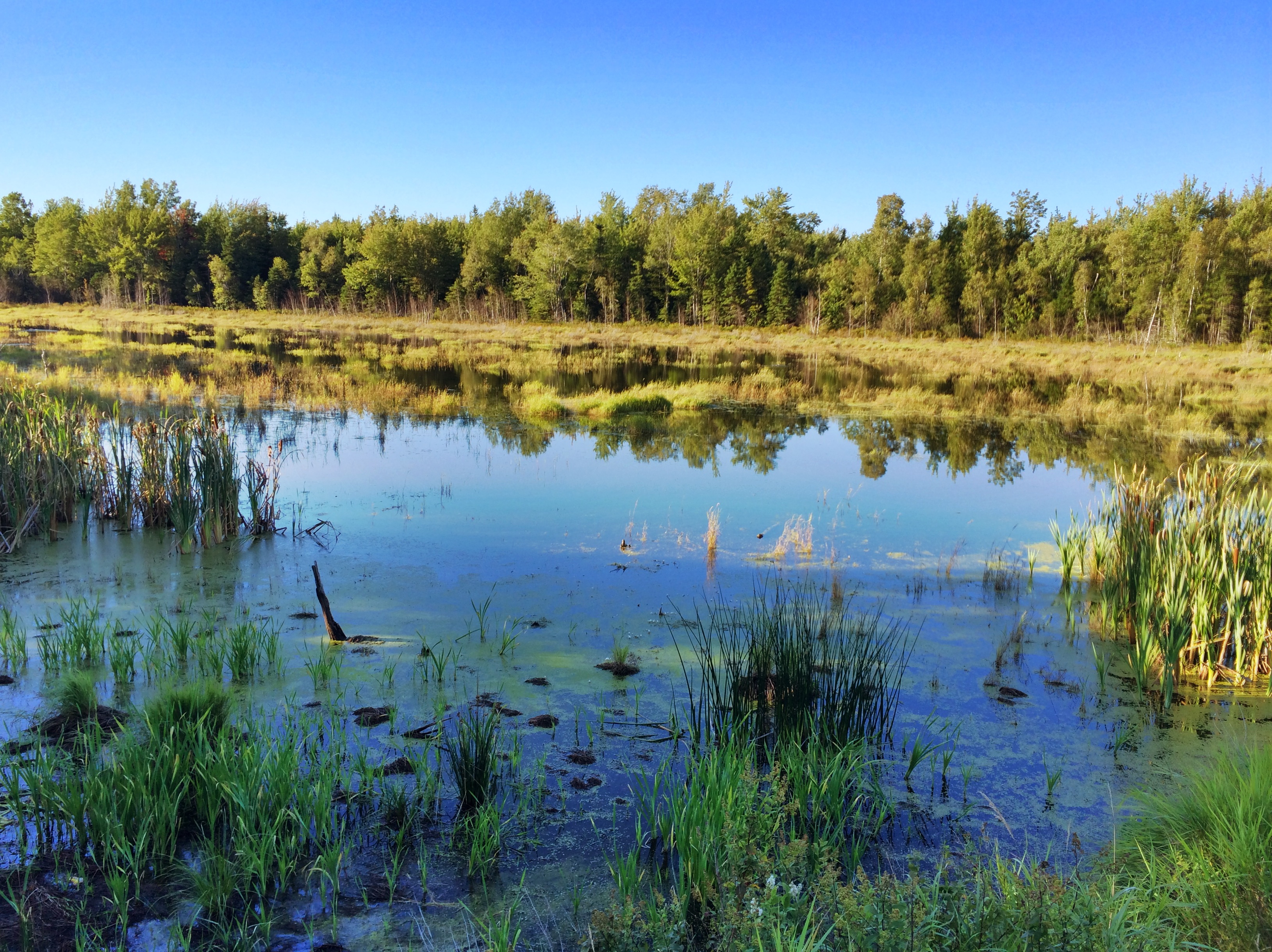
Tatamagouche Reflection
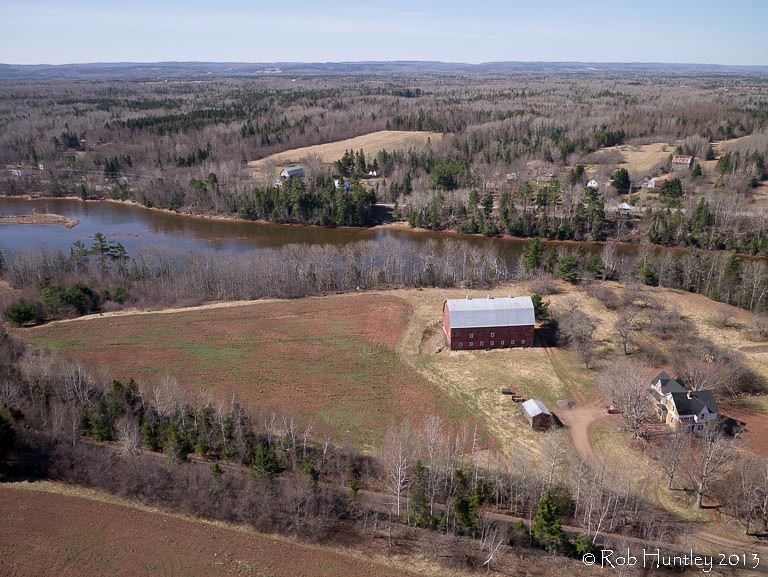
Aerial photograph of a barn in the countryside near Tatamagouche, Nova Scotia. The Waugh River is in the background. - Kite Aerial Photography (KAP)
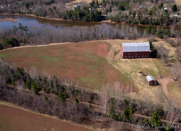
Aerial photograph of a barn in the countryside near Tatamagouche, Nova Scotia. The Waugh River is in the background. - Kite Aerial Photography (KAP)
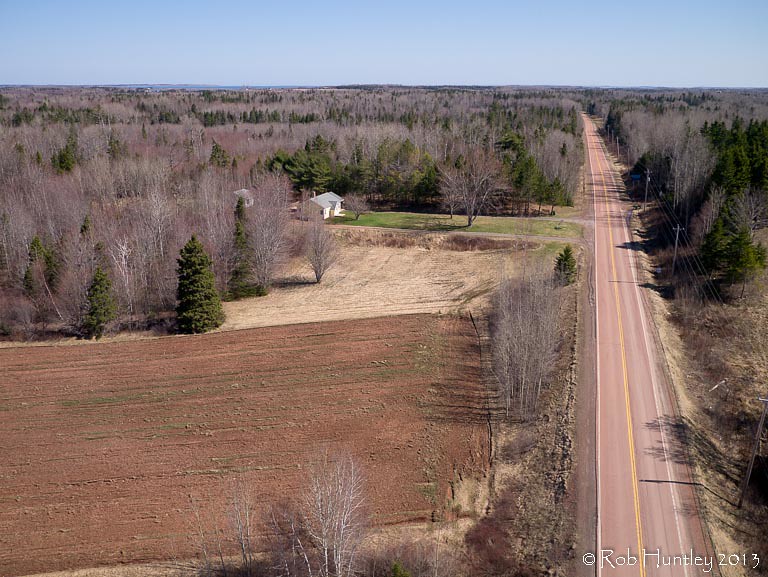
Red asphalt on Highway 6 heading east from Tatamagouche, Nova Scotia - Kite Aerial Photography (KAP)
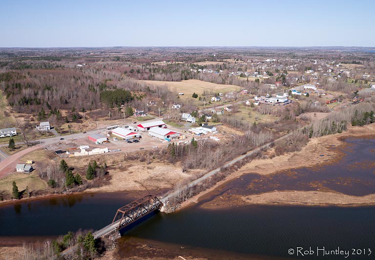
Aerial photograph of the Waugh River and Tatamagouche, Nova Scotia - Kite Aerial Photography (KAP)
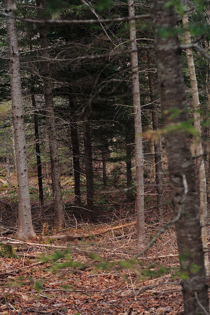
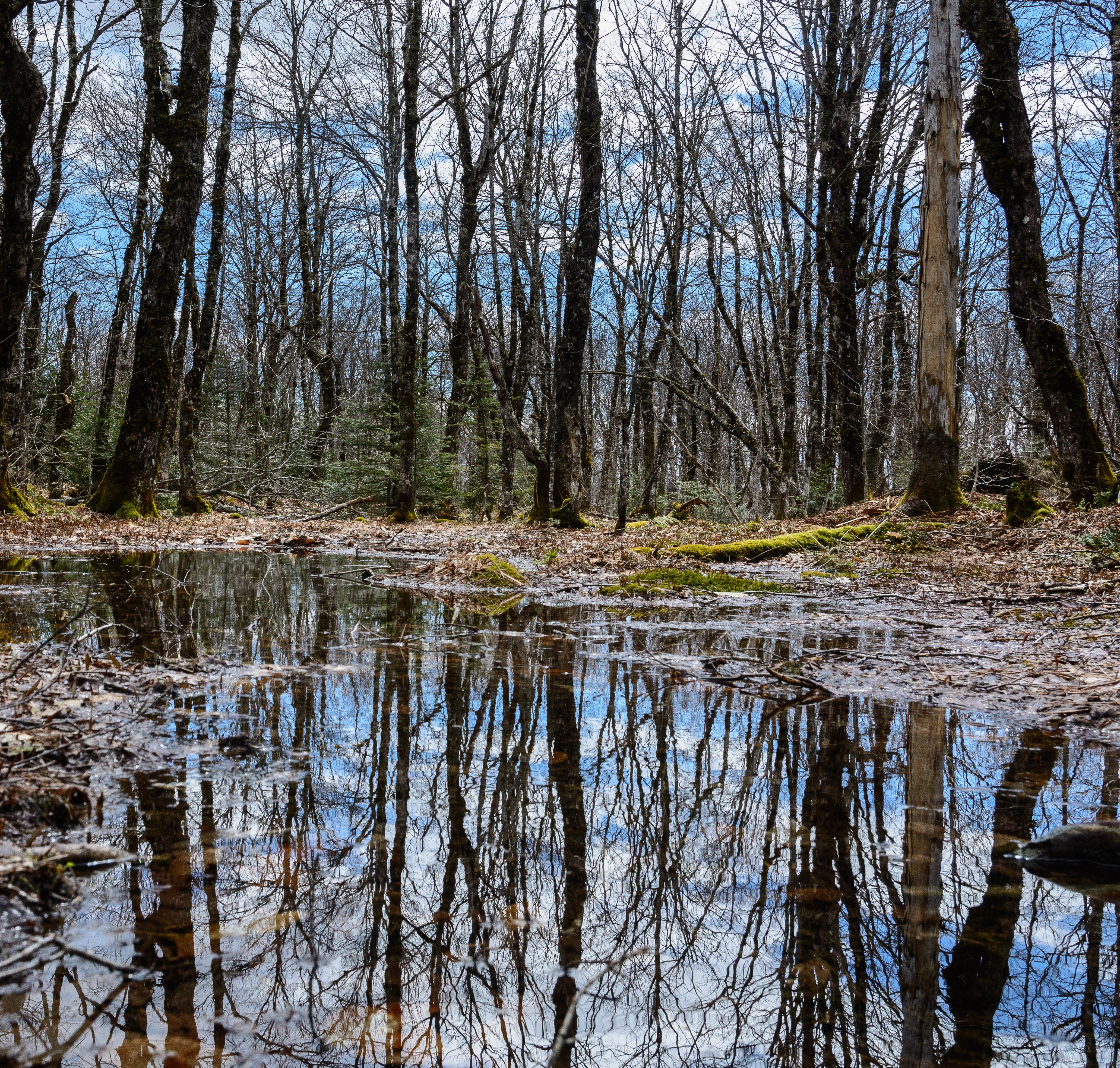
The Woods
DSB_6796 (Medium)
DSB_6870 (Medium)
DSB_6884 (Medium)
july 4 031
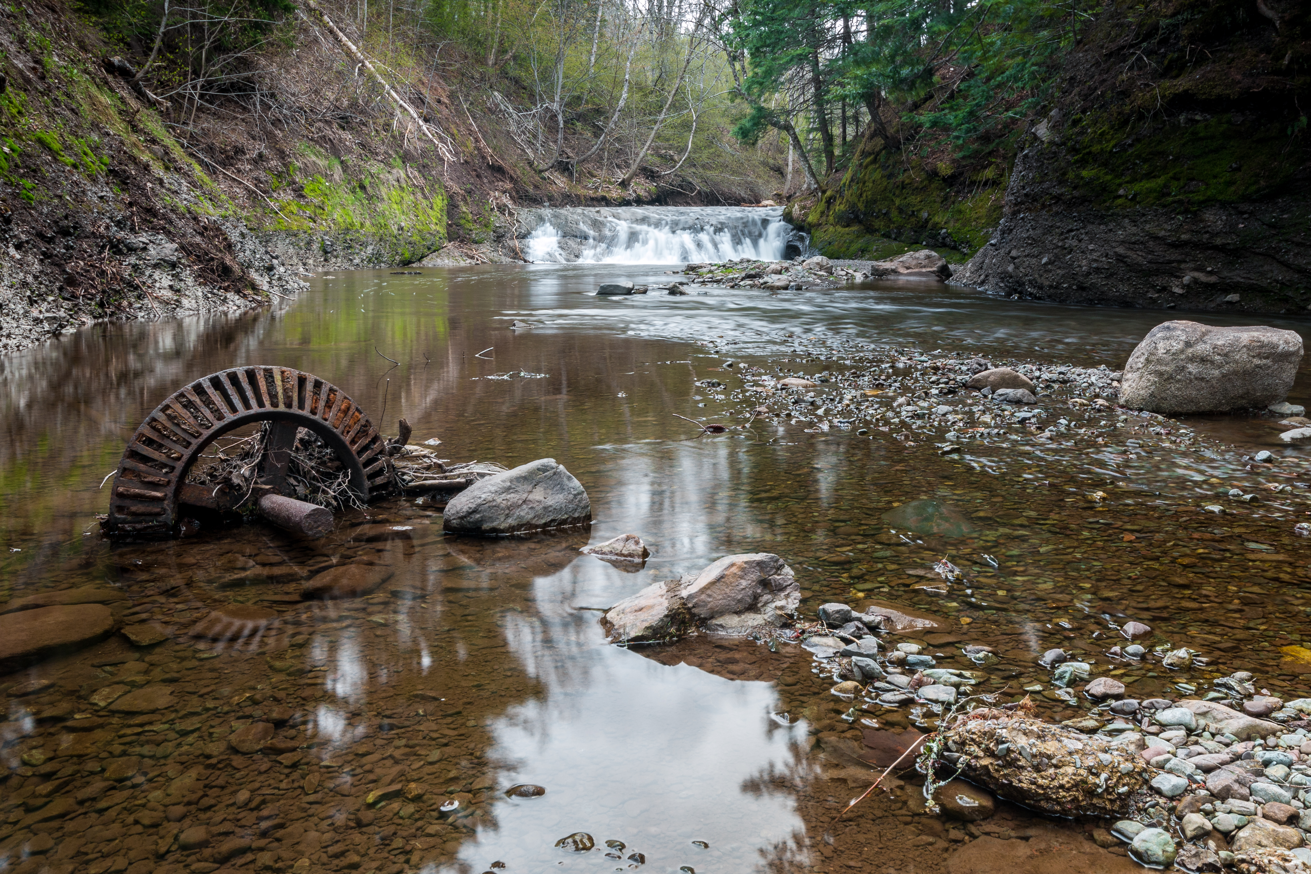
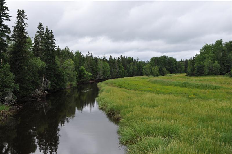
Upstream from the Mill
Topographic Map of Kennedy Hill Rd, Tatamagouche, NS B0K 1V0, Canada
Find elevation by address:

Places near Kennedy Hill Rd, Tatamagouche, NS B0K 1V0, Canada:
22 Balmoral Rd, Tatamagouche, NS B0K 1V0, Canada
12 Oak Ridge Ct
Tatamagouche
22 Riverside Dr
614 Sand Point Rd
Bayhead
Clarks Road
W Tatamagouche Rd, Tatamagouche, NS B0K 1V0, Canada
Shatter Lake
Colchester, Subd. B
Malagash
Mccallum Settlement
48 Vintage Ln
North Shore
Logan Rd, Malagash, NS B0K 1E0, Canada
B0k 1y0
45-19
Onslow Mountain
Wallace
Old Tatamagouche Rd, Onslow Mountain, NS B6L 6P1, Canada
Recent Searches:
- Elevation of North 8th Street, Palatka, Putnam County, Florida, 32177, USA
- Elevation of 107, Big Apple Road, East Palatka, Putnam County, Florida, 32131, USA
- Elevation of Jiezi, Chongzhou City, Sichuan, China
- Elevation of Chongzhou City, Sichuan, China
- Elevation of Huaiyuan, Chongzhou City, Sichuan, China
- Elevation of Qingxia, Chengdu, Sichuan, China
- Elevation of Corso Fratelli Cairoli, 35, Macerata MC, Italy
- Elevation of Tallevast Rd, Sarasota, FL, USA
- Elevation of 4th St E, Sonoma, CA, USA
- Elevation of Black Hollow Rd, Pennsdale, PA, USA
- Elevation of Oakland Ave, Williamsport, PA, USA
- Elevation of Pedrógão Grande, Portugal
- Elevation of Klee Dr, Martinsburg, WV, USA
- Elevation of Via Roma, Pieranica CR, Italy
- Elevation of Tavkvetili Mountain, Georgia
- Elevation of Hartfords Bluff Cir, Mt Pleasant, SC, USA
- Elevation of SW Barberry Dr, Beaverton, OR, USA
- Elevation of Old Ahsahka Grade, Ahsahka, ID, USA
- Elevation of State Hwy F, Pacific, MO, USA
- Elevation of Chemin de Bel air, Chem. de Bel air, Mougins, France