Elevation of 22 Riverside Dr, Tatamagouche, NS B0K 1V0, Canada
Location: Canada > Nova Scotia > Colchester County > Colchester, Subd. B > Tatamagouche >
Longitude: -63.28794
Latitude: 45.7121898
Elevation: 12m / 39feet
Barometric Pressure: 101KPa
Elevation Map:
Satellite Map:
Related Photos:
Happy New Year 2018!

Snail's Pace

Common Green Darner - Nova Scotia

Aerial view of the town of Tatamagouche, Nova Scotia alongside the Waugh River - Kite Aerial Photography (KAP)
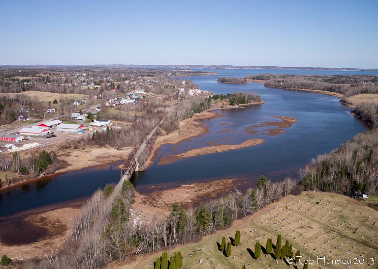
Aerial view of the town of Tatamagouche, Nova Scotia alongside the Waugh River - Kite Aerial Photography (KAP)

Aerial view of the Waugh River flowing past Tatamagouche, Nova Scotia - Kite Aerial Photography (KAP)
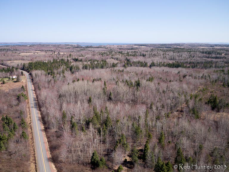
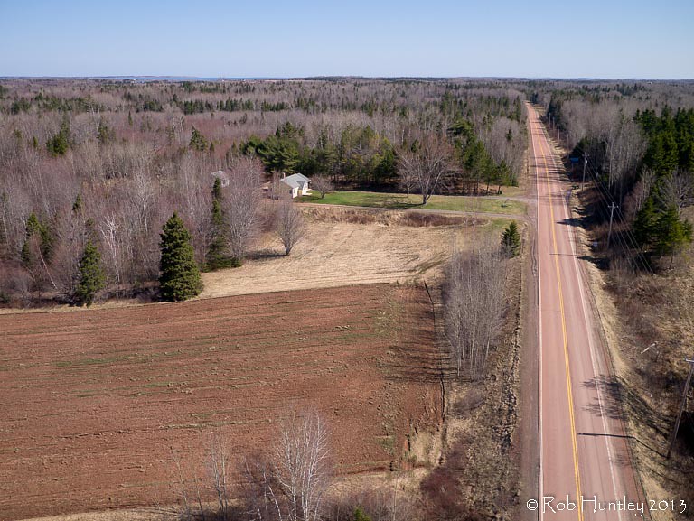
Aerial view of a road through the countryside near Tatamagouche, Nova Scotia - Kite Aerial Photography (KAP)

Atlantic Ocean / view of where we're staying from the Atlantic Ocean. #greasemarks #private beach #maritimerockabillyshakedown #nolittlemarks

Strange plants at sunset

Drysdale Falls...getting closer (see previous shot)
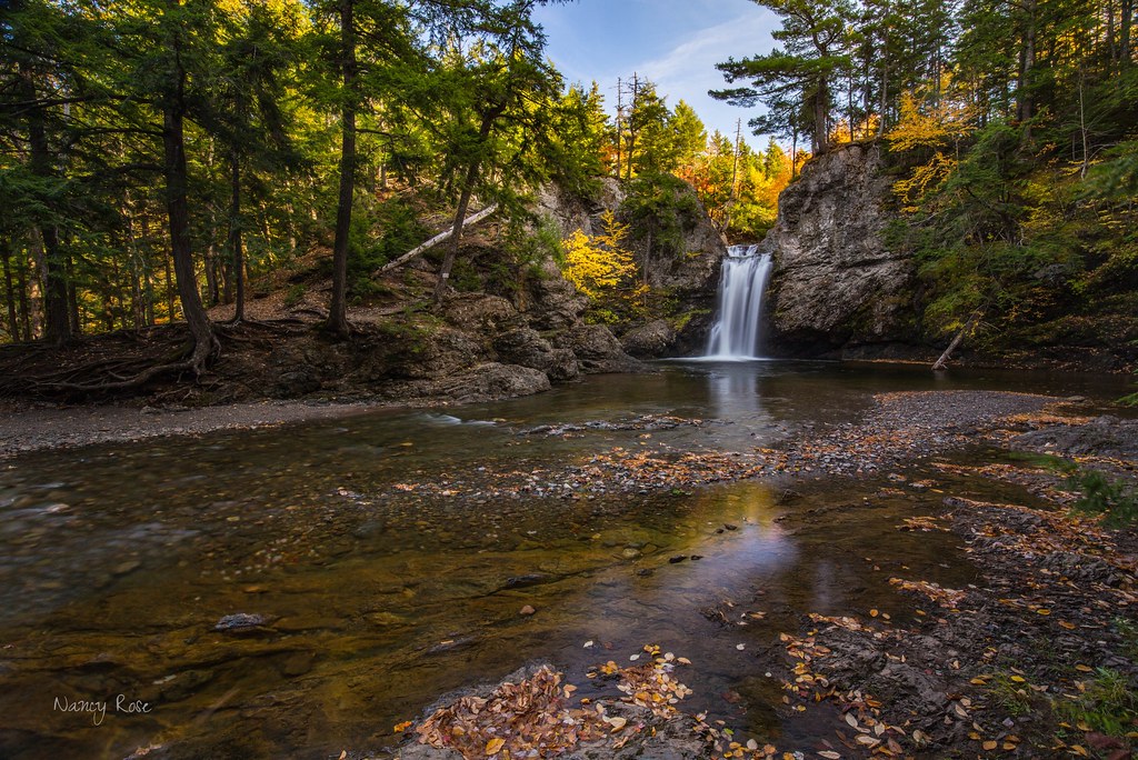
Drysdale Falls, NS, dressed in autumn colors
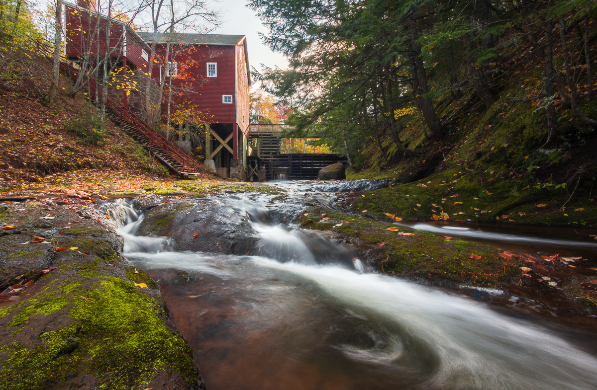
Balmoral Grist Mill
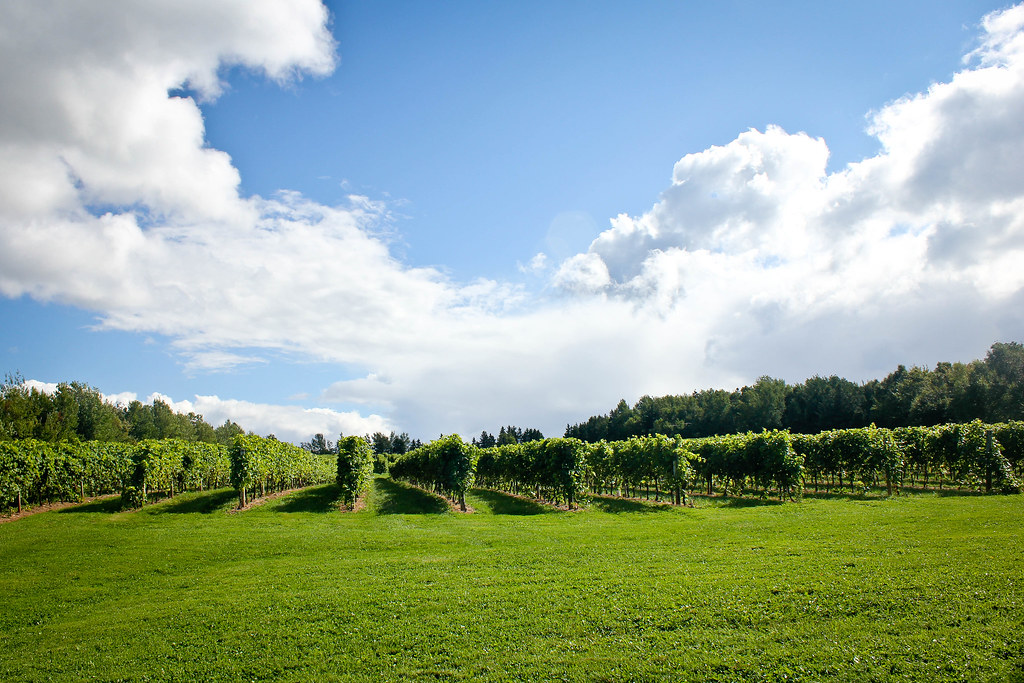
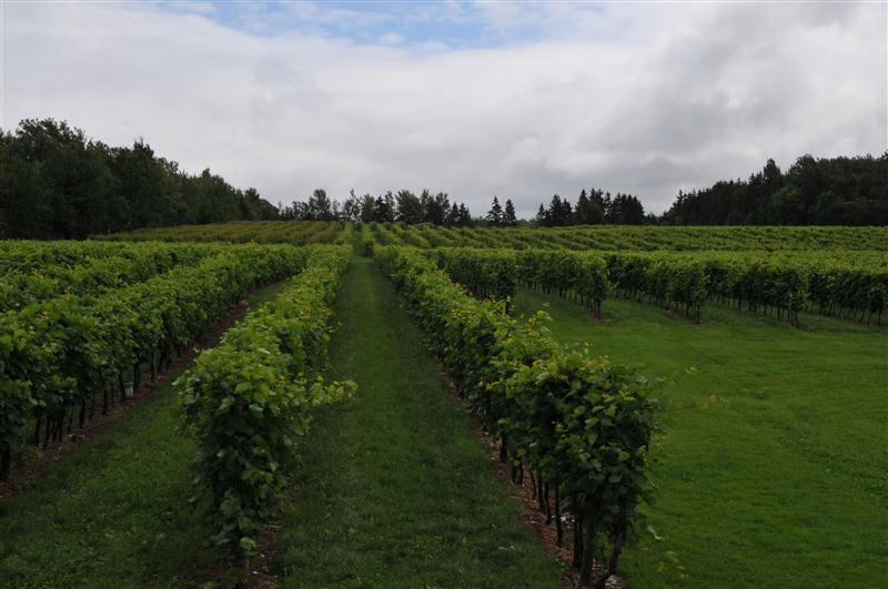
Jost Vineyard

Balmoral Grist Mill
Malagash, NS

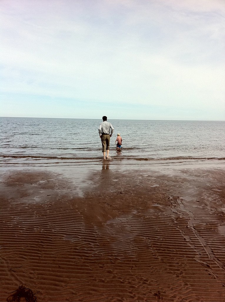
Low Tide
Red asphalt on Highway 6 heading east from Tatamagouche, Nova Scotia - Kite Aerial Photography (KAP)
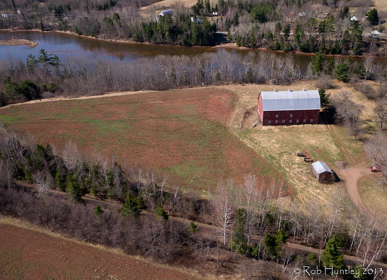
Aerial photograph of a barn in the countryside near Tatamagouche, Nova Scotia. The Waugh River is in the background. - Kite Aerial Photography (KAP)
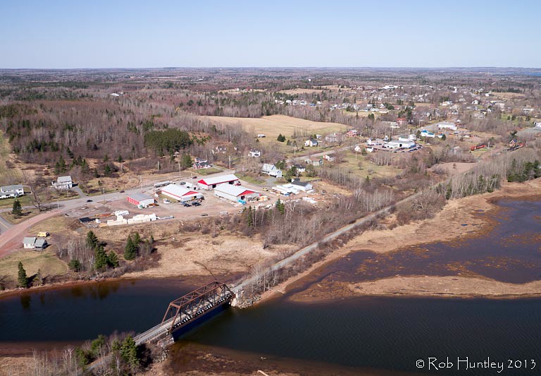
Aerial photograph of the Waugh River and Tatamagouche, Nova Scotia - Kite Aerial Photography (KAP)
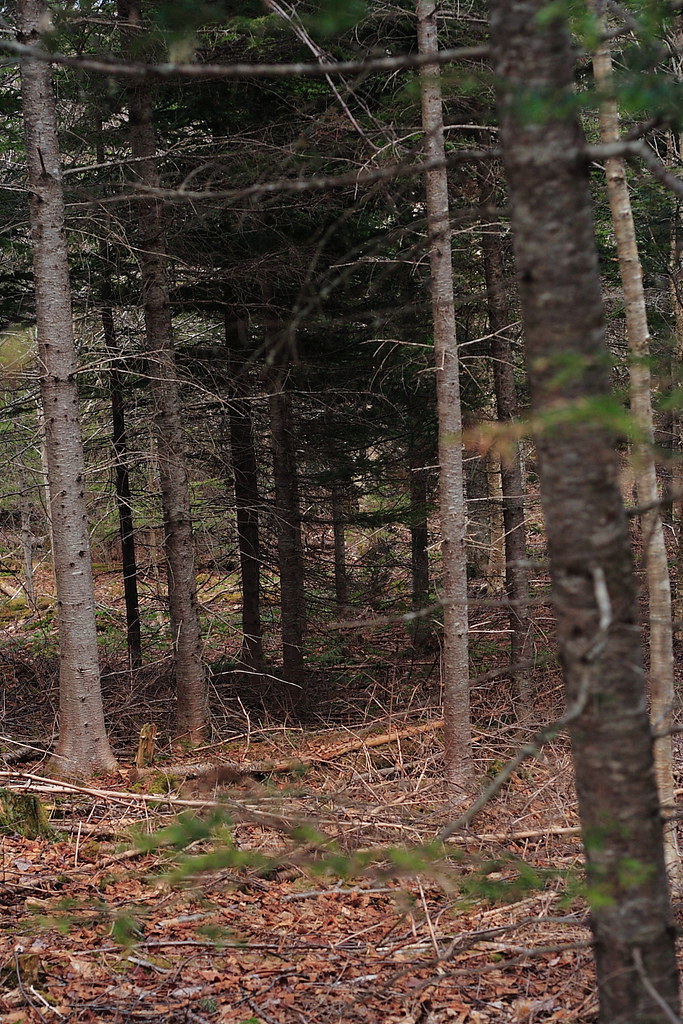
The Woods
DSB_6796 (Medium)
DSB_6721 (Medium)
july 4 031
the ocean came in here and opened up the run off a bit more than normal
Blue Sea Beach
Topographic Map of 22 Riverside Dr, Tatamagouche, NS B0K 1V0, Canada
Find elevation by address:

Places near 22 Riverside Dr, Tatamagouche, NS B0K 1V0, Canada:
Tatamagouche
12 Oak Ridge Ct
614 Sand Point Rd
Clarks Road
Bayhead
Malagash
W Tatamagouche Rd, Tatamagouche, NS B0K 1V0, Canada
48 Vintage Ln
North Shore
45-19
Logan Rd, Malagash, NS B0K 1E0, Canada
B0k 1y0
Wallace
Fox Harbour
Cumberland, Subd. D
689 Kerrs Mill Rd
Feldershore Drive
2478 Gulf Shore Rd
1918 Gulf Shore Rd
1916 Gulf Shore Rd
Recent Searches:
- Elevation of Corso Fratelli Cairoli, 35, Macerata MC, Italy
- Elevation of Tallevast Rd, Sarasota, FL, USA
- Elevation of 4th St E, Sonoma, CA, USA
- Elevation of Black Hollow Rd, Pennsdale, PA, USA
- Elevation of Oakland Ave, Williamsport, PA, USA
- Elevation of Pedrógão Grande, Portugal
- Elevation of Klee Dr, Martinsburg, WV, USA
- Elevation of Via Roma, Pieranica CR, Italy
- Elevation of Tavkvetili Mountain, Georgia
- Elevation of Hartfords Bluff Cir, Mt Pleasant, SC, USA