Elevation of Malagash, Cumberland, Subd. D, NS B0K, Canada
Location: Canada > Nova Scotia > Cumberland County > Cumberland, Subd. D >
Longitude: -63.376645
Latitude: 45.7721
Elevation: 42m / 138feet
Barometric Pressure: 101KPa
Elevation Map:
Satellite Map:
Related Photos:

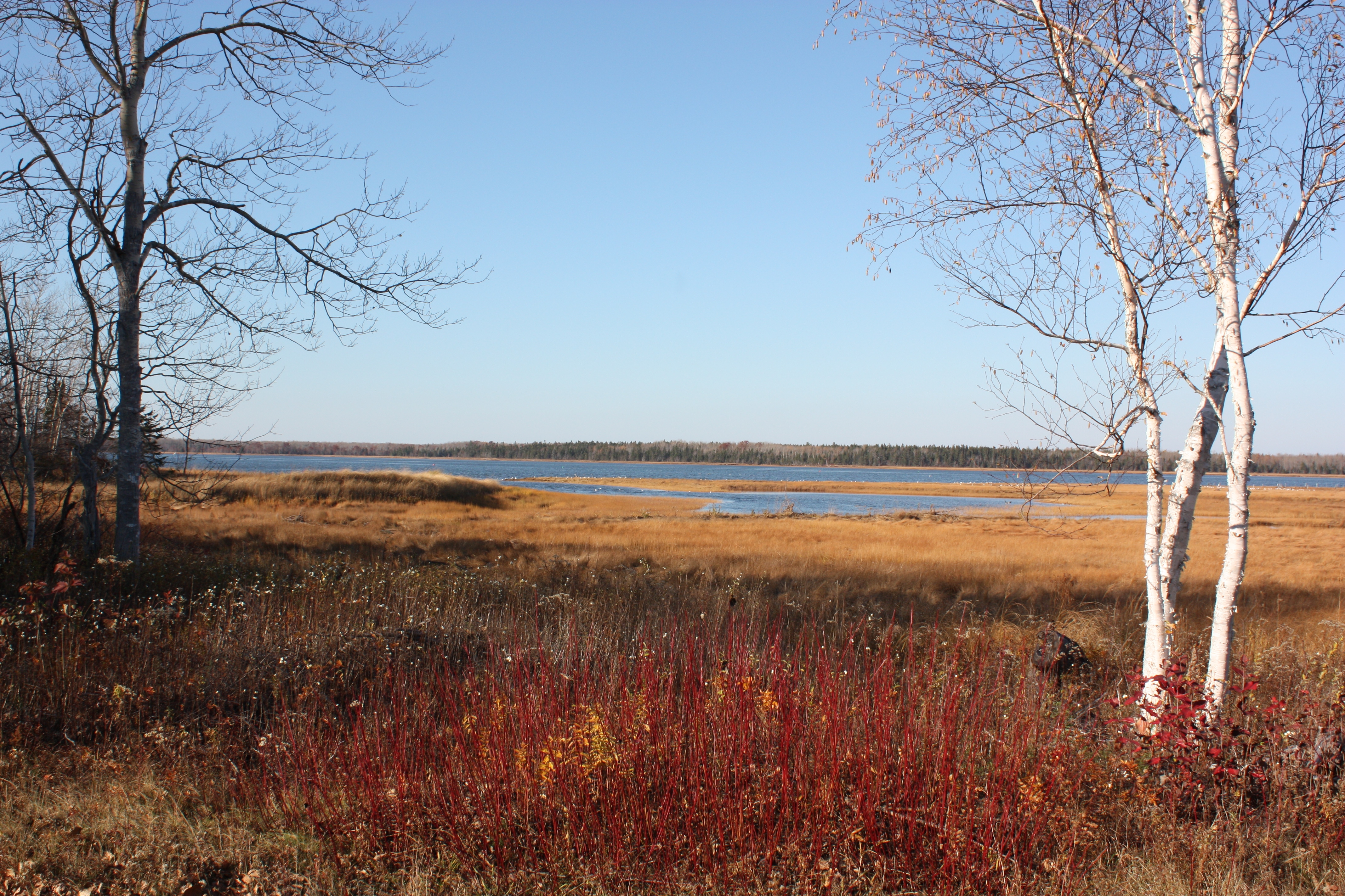
Snail's Pace

Common Green Darner - Nova Scotia
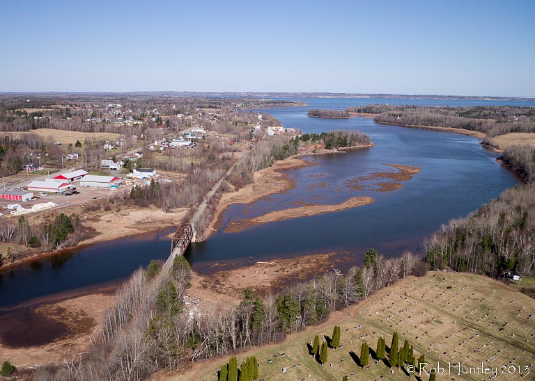
Aerial view of the town of Tatamagouche, Nova Scotia alongside the Waugh River - Kite Aerial Photography (KAP)

Aerial view of the town of Tatamagouche, Nova Scotia alongside the Waugh River - Kite Aerial Photography (KAP)

Aerial view of the Waugh River flowing past Tatamagouche, Nova Scotia - Kite Aerial Photography (KAP)
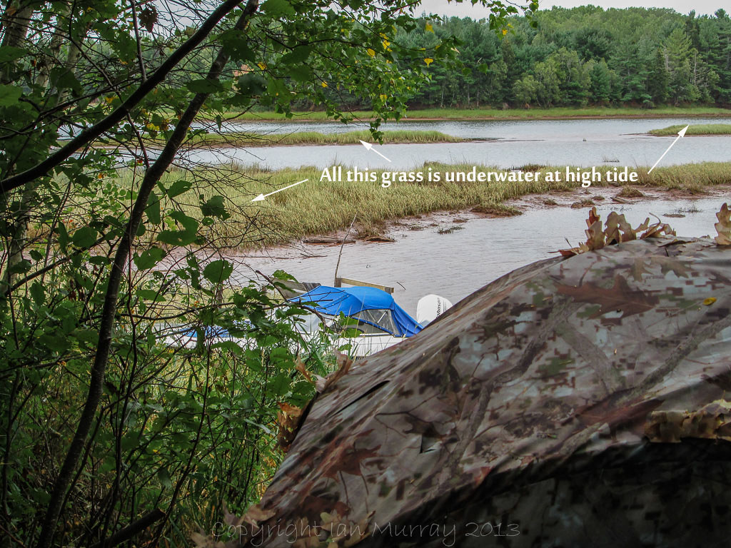
IMG_0050 Blind beside river
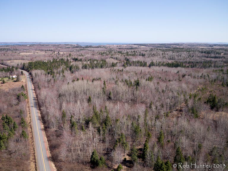
Aerial view of a road through the countryside near Tatamagouche, Nova Scotia - Kite Aerial Photography (KAP)

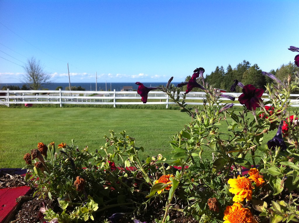
Atlantic Ocean / view of where we're staying from the Atlantic Ocean. #greasemarks #private beach #maritimerockabillyshakedown #nolittlemarks
Wallace, Nova Scotia
Wallace, Nova Scotia
View from the Deck
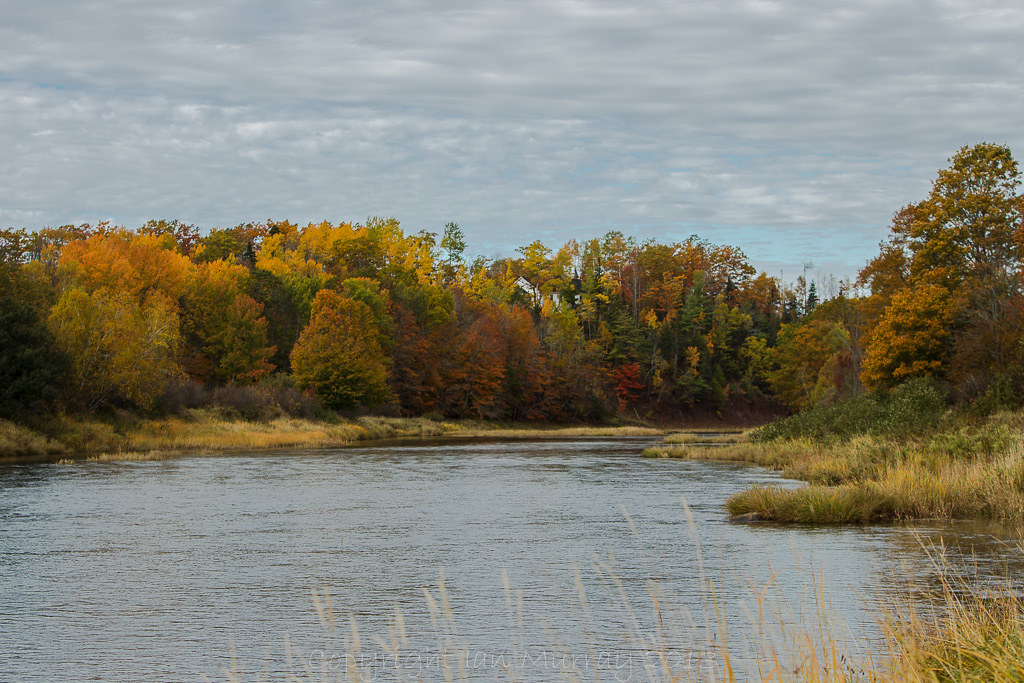
IMGL8038 Autumn on the River
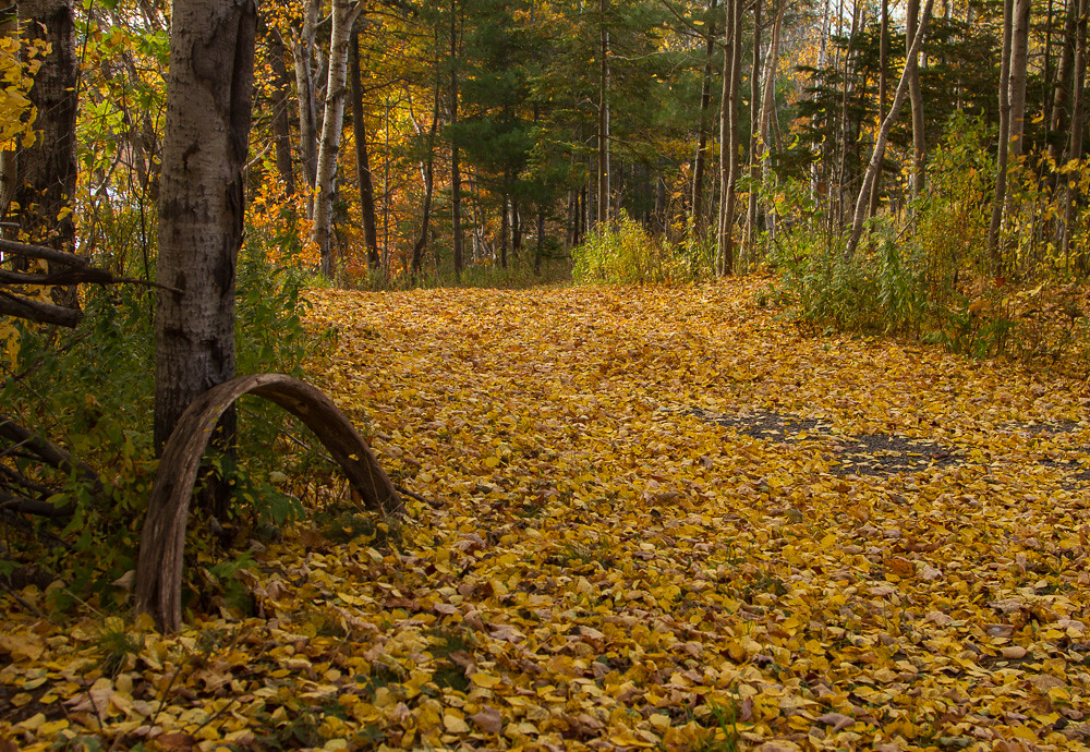
IMG_3879 What a Colourful Autumn!

IMGL7723 Purple Finch (F)
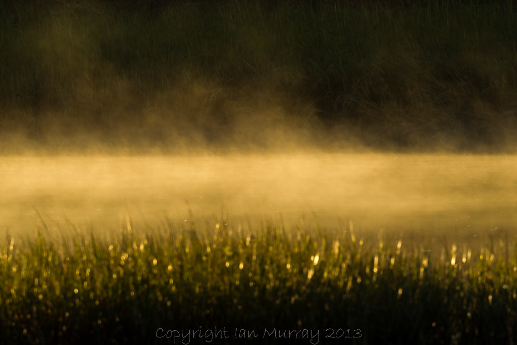
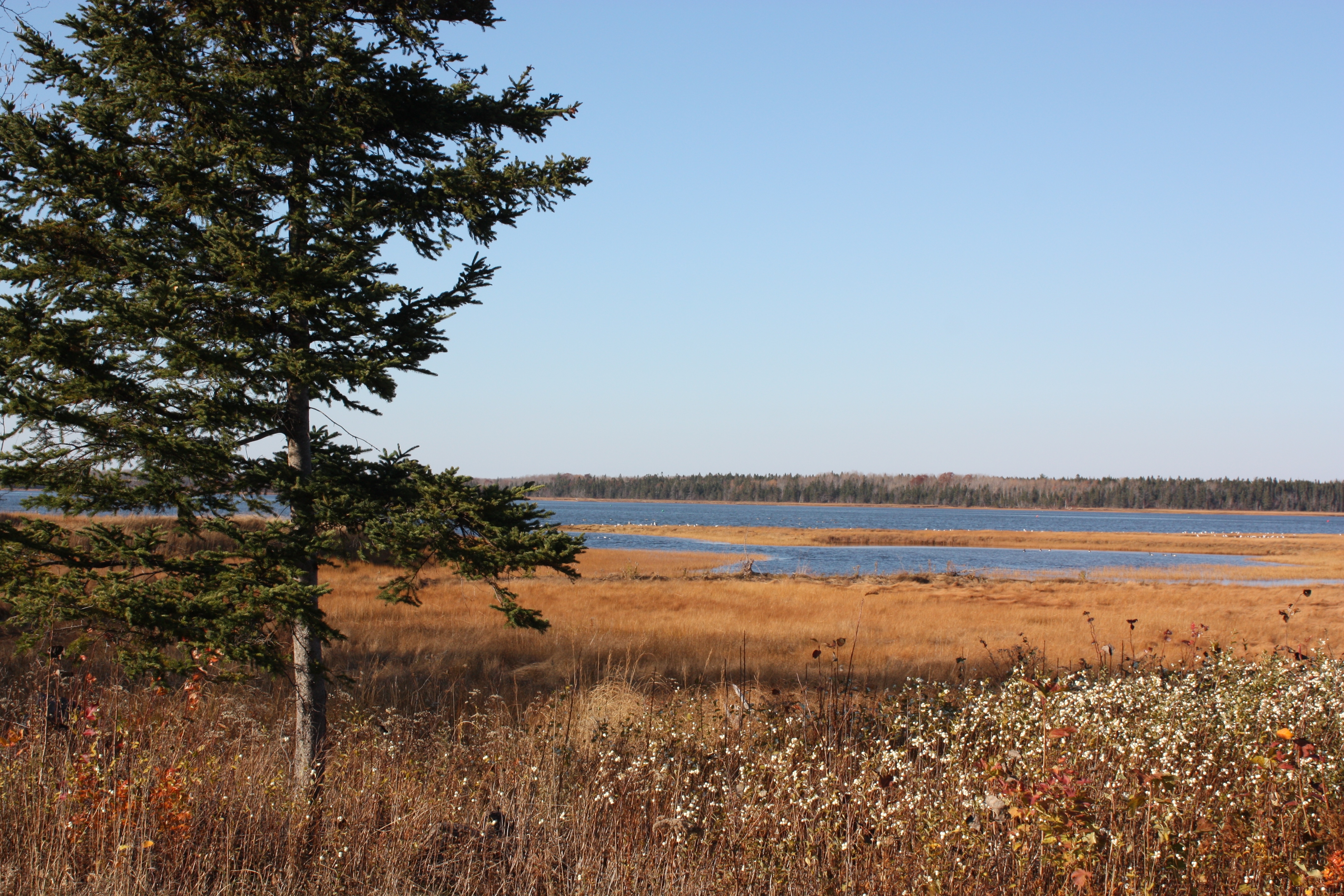
IMGL5258 Misty Morning Wallace River
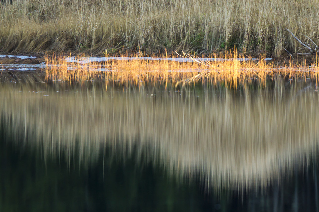
IMGL8037 Autumn on the River
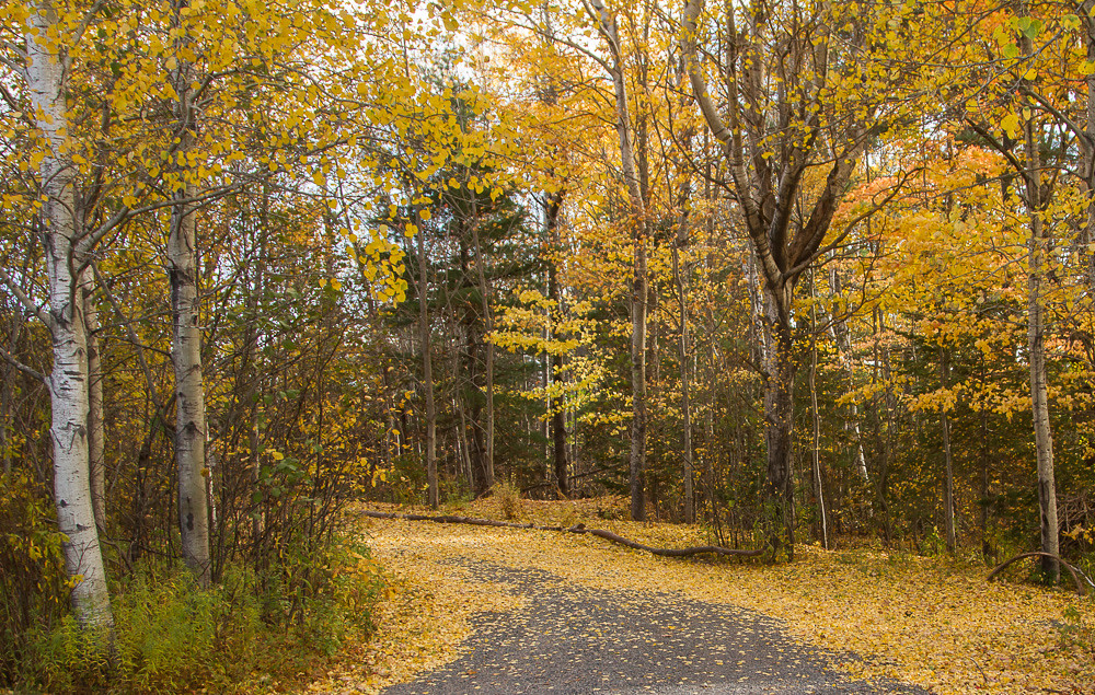
IMG_3873 What a Colourful Autumn!

IMG_3876 What a Colourful Autumn!
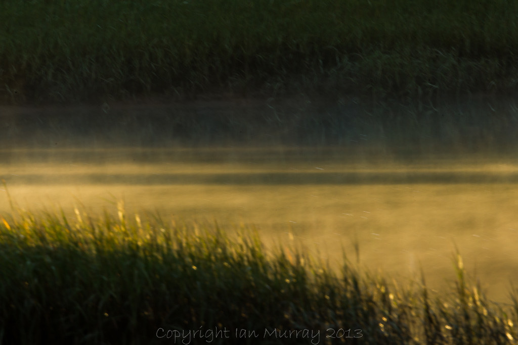
IMGL5261 Misty Morning Wallace River
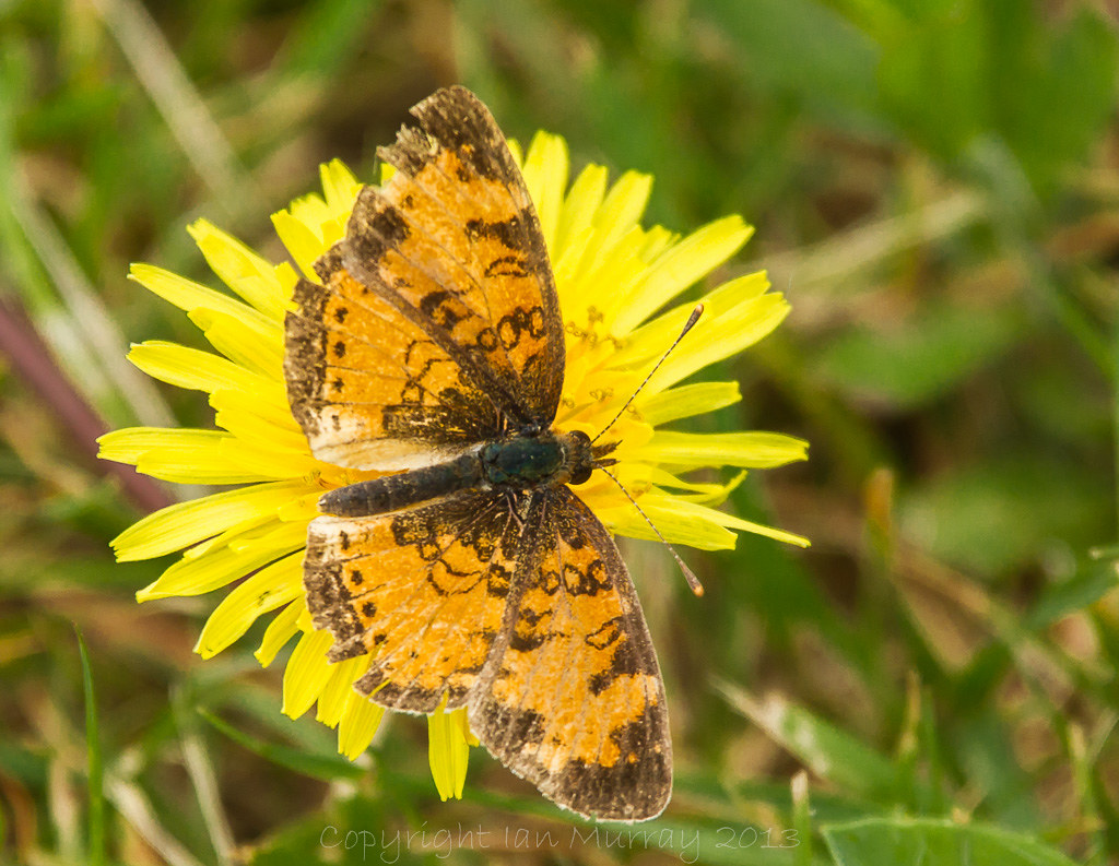
IMGL5642 Butterfly on Dandelion

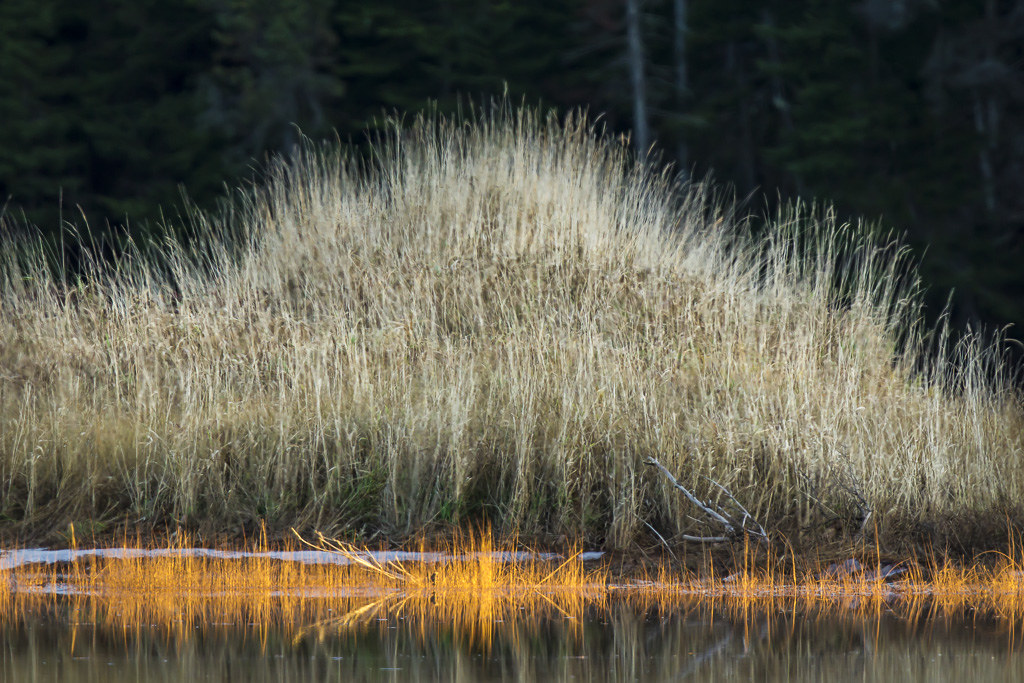
IMGL5338 Misty Morning Wallace River
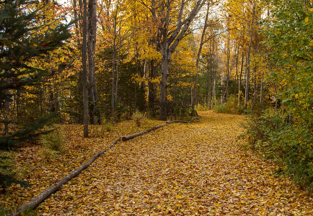
IMG_3877 What a Colourful Autumn!

IMGL5255 Misty Morning Wallace River

IMGL7748 Purple Finch (F)
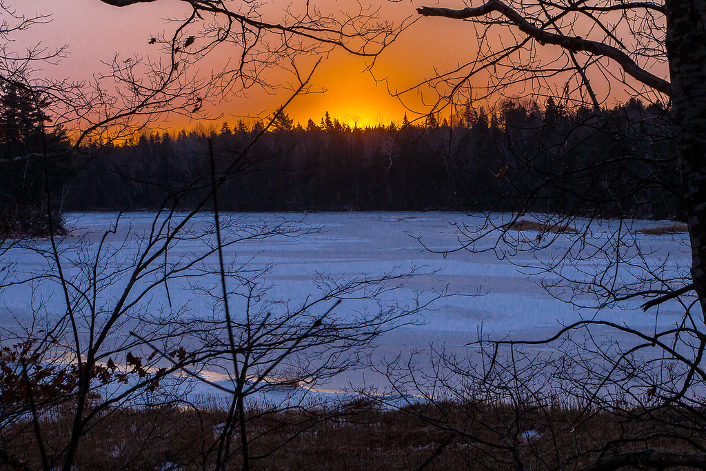
IMGL7783 Wallace River Winter Sunrise
IMGL7603 Wallace River, Nova Scotia

IMG_3881 What a Colourful Autumn!

IMGL0409 Evening Grosbeak

IMG_3202 August Sunset

IMGL9686 Purple Finch
IMG_3874 What a Colourful Autumn!
IMG_3878 What a Colourful Autumn!
Topographic Map of Malagash, Cumberland, Subd. D, NS B0K, Canada
Find elevation by address:

Places in Malagash, Cumberland, Subd. D, NS B0K, Canada:
Places near Malagash, Cumberland, Subd. D, NS B0K, Canada:
48 Vintage Ln
Clarks Road
North Shore
Bayhead
W Tatamagouche Rd, Tatamagouche, NS B0K 1V0, Canada
45-19
B0k 1y0
Logan Rd, Malagash, NS B0K 1E0, Canada
614 Sand Point Rd
Tatamagouche
Wallace
12 Oak Ridge Ct
22 Riverside Dr
Fox Harbour
Cumberland, Subd. D
689 Kerrs Mill Rd
Feldershore Drive
2478 Gulf Shore Rd
1918 Gulf Shore Rd
1916 Gulf Shore Rd
Recent Searches:
- Elevation of Corso Fratelli Cairoli, 35, Macerata MC, Italy
- Elevation of Tallevast Rd, Sarasota, FL, USA
- Elevation of 4th St E, Sonoma, CA, USA
- Elevation of Black Hollow Rd, Pennsdale, PA, USA
- Elevation of Oakland Ave, Williamsport, PA, USA
- Elevation of Pedrógão Grande, Portugal
- Elevation of Klee Dr, Martinsburg, WV, USA
- Elevation of Via Roma, Pieranica CR, Italy
- Elevation of Tavkvetili Mountain, Georgia
- Elevation of Hartfords Bluff Cir, Mt Pleasant, SC, USA