Elevation of 12 Oak Ridge Ct, Tatamagouche, NS B0K 1V0, Canada
Location: Canada > Nova Scotia > Colchester County > Colchester, Subd. B > Tatamagouche >
Longitude: -63.293014
Latitude: 45.705428
Elevation: 34m / 112feet
Barometric Pressure: 101KPa
Elevation Map:
Satellite Map:
Related Photos:
Happy New Year 2018!

Snail's Pace

Common Green Darner - Nova Scotia
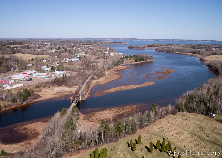
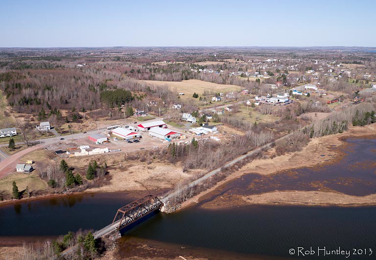
Aerial view of the town of Tatamagouche, Nova Scotia alongside the Waugh River - Kite Aerial Photography (KAP)
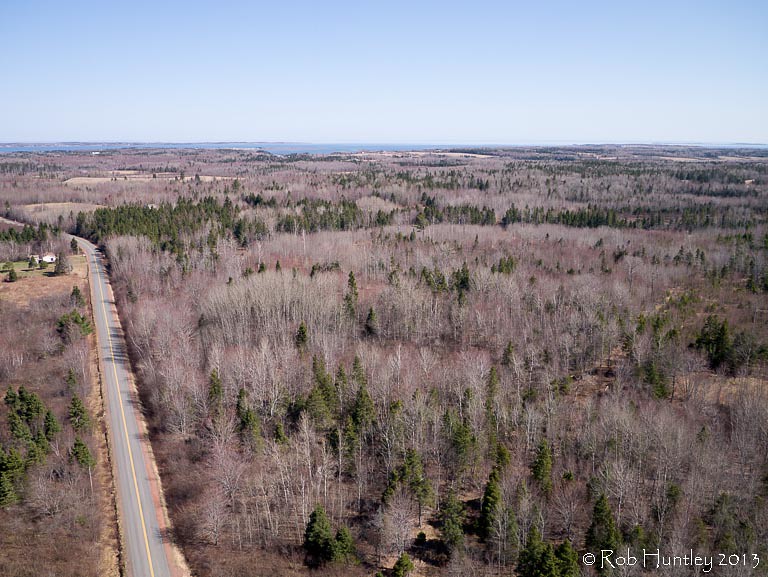
Aerial view of a road through the countryside near Tatamagouche, Nova Scotia - Kite Aerial Photography (KAP)

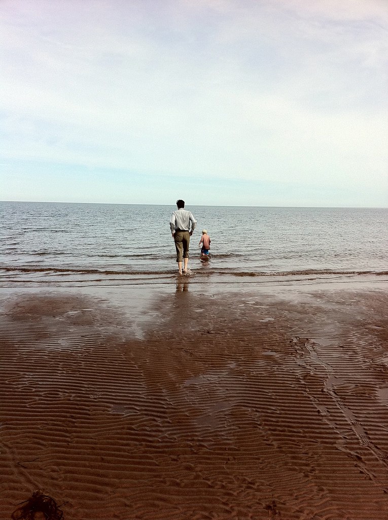
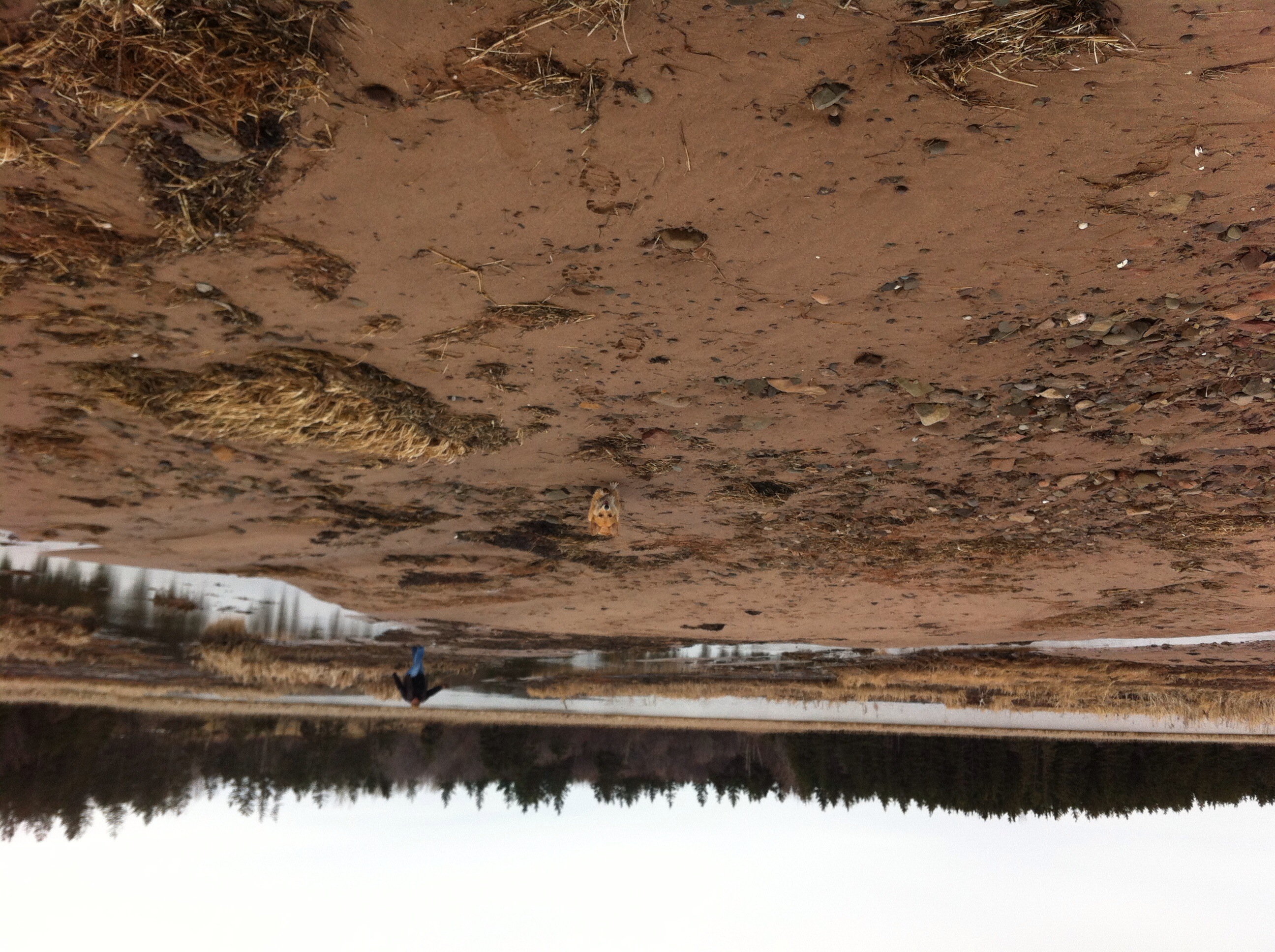
Atlantic Ocean / view of where we're staying from the Atlantic Ocean. #greasemarks #private beach #maritimerockabillyshakedown #nolittlemarks
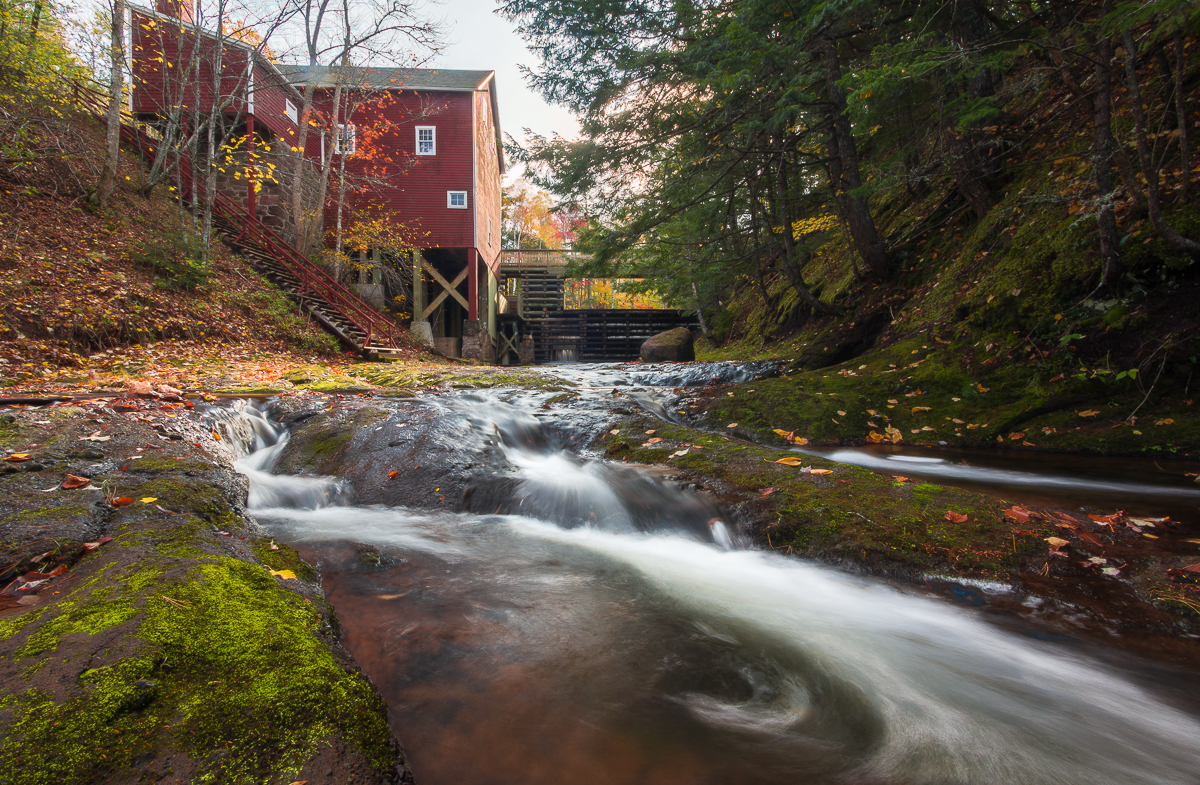
Balmoral Grist Mill
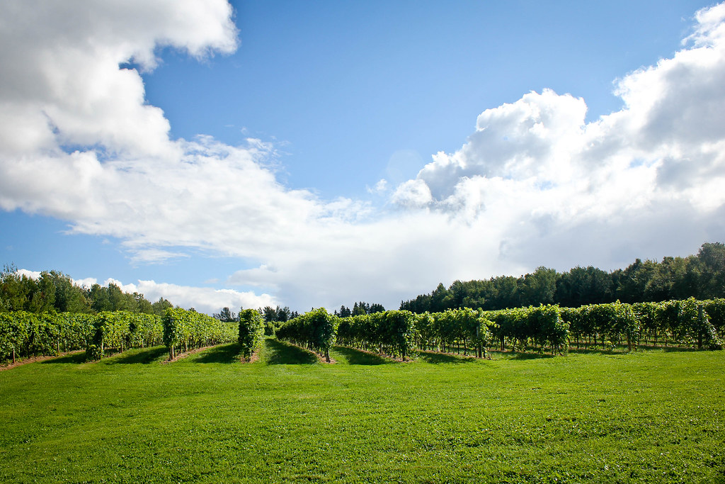
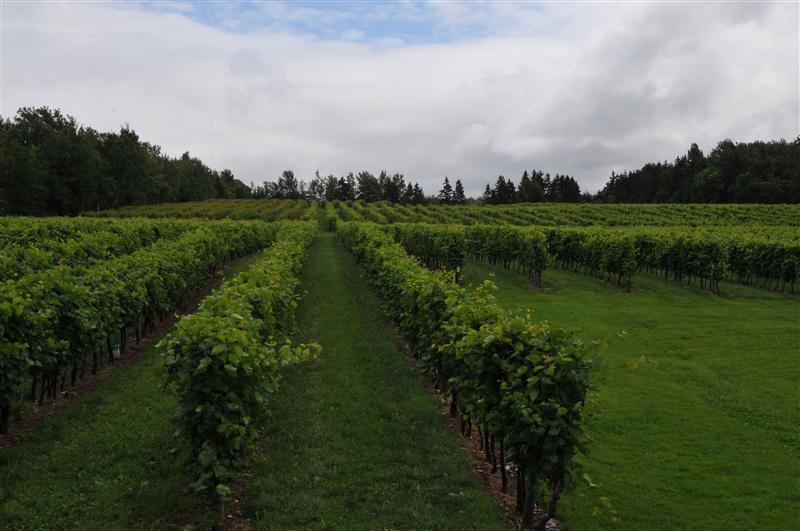
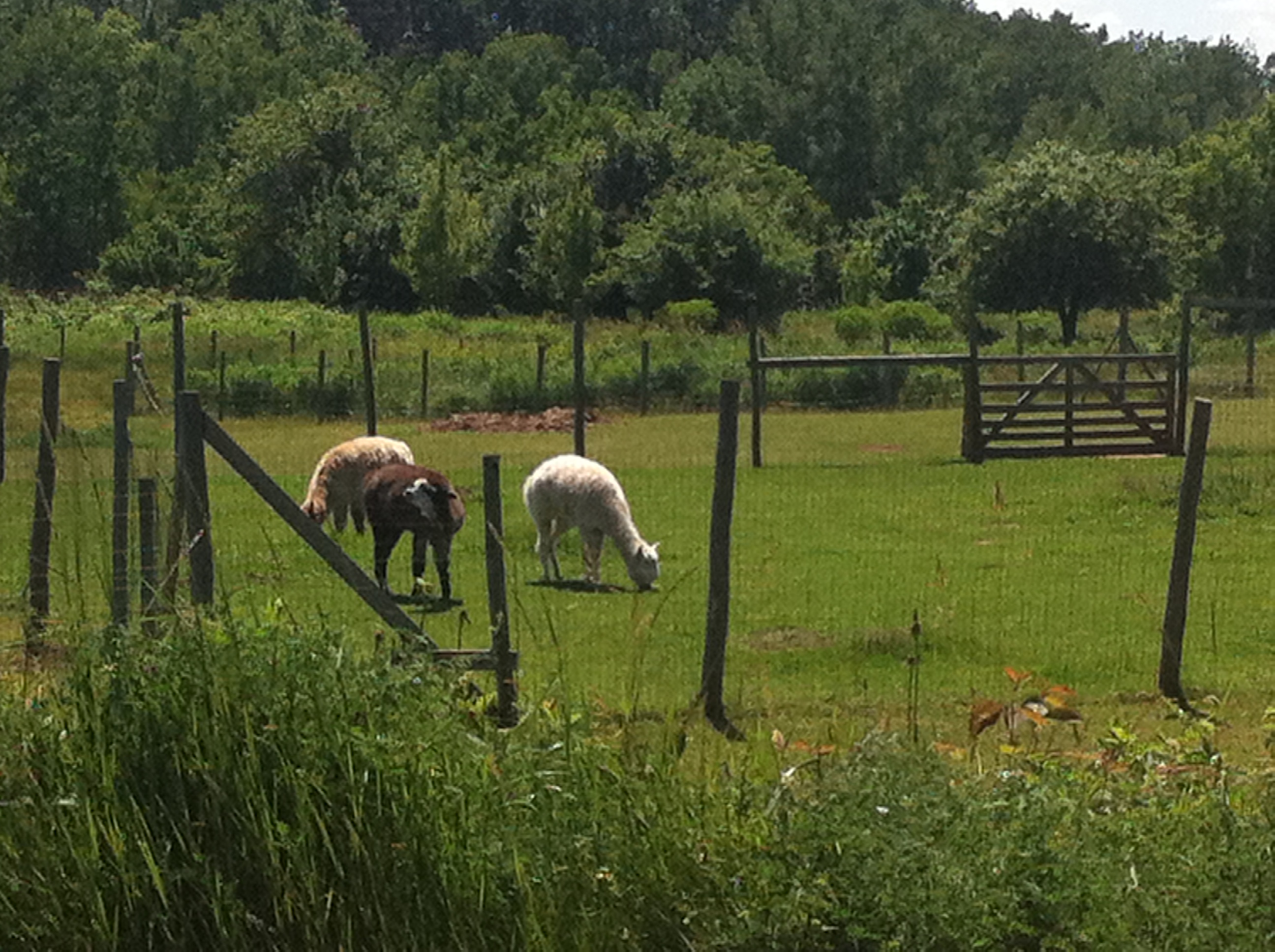
Jost Vineyard

Balmoral Grist Mill
Malagash, NS

Aerial view of the town of Tatamagouche, Nova Scotia alongside the Waugh River - Kite Aerial Photography (KAP)

Aerial view of the Waugh River flowing past Tatamagouche, Nova Scotia - Kite Aerial Photography (KAP)
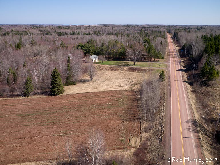
Red asphalt on Highway 6 heading east from Tatamagouche, Nova Scotia - Kite Aerial Photography (KAP)
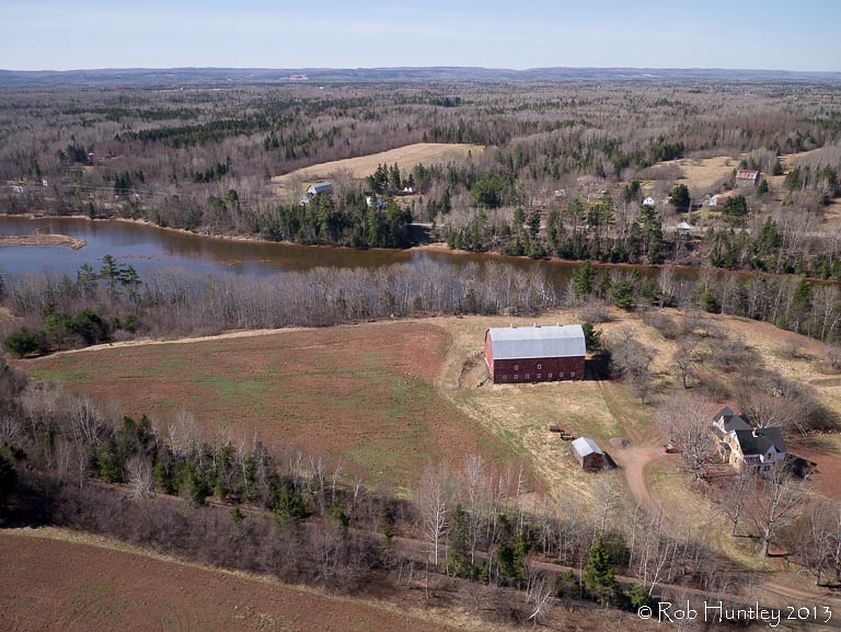
Aerial photograph of a barn in the countryside near Tatamagouche, Nova Scotia. The Waugh River is in the background. - Kite Aerial Photography (KAP)
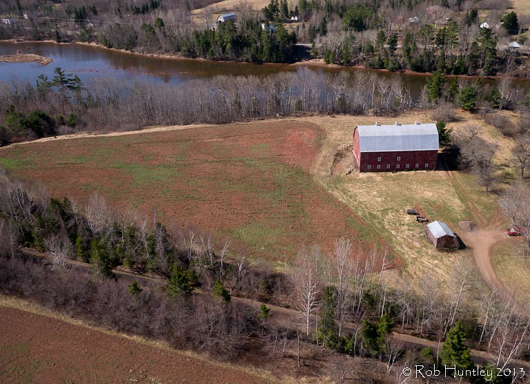
Aerial photograph of a barn in the countryside near Tatamagouche, Nova Scotia. The Waugh River is in the background. - Kite Aerial Photography (KAP)
Tatamagouche Reflection
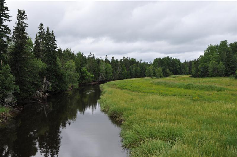
Aerial photograph of the Waugh River and Tatamagouche, Nova Scotia - Kite Aerial Photography (KAP)
DSB_6796 (Medium)
DSB_6870 (Medium)
the ocean came in here and opened up the run off a bit more than normal
july 4 031

Drysdale Falls...getting closer (see previous shot)
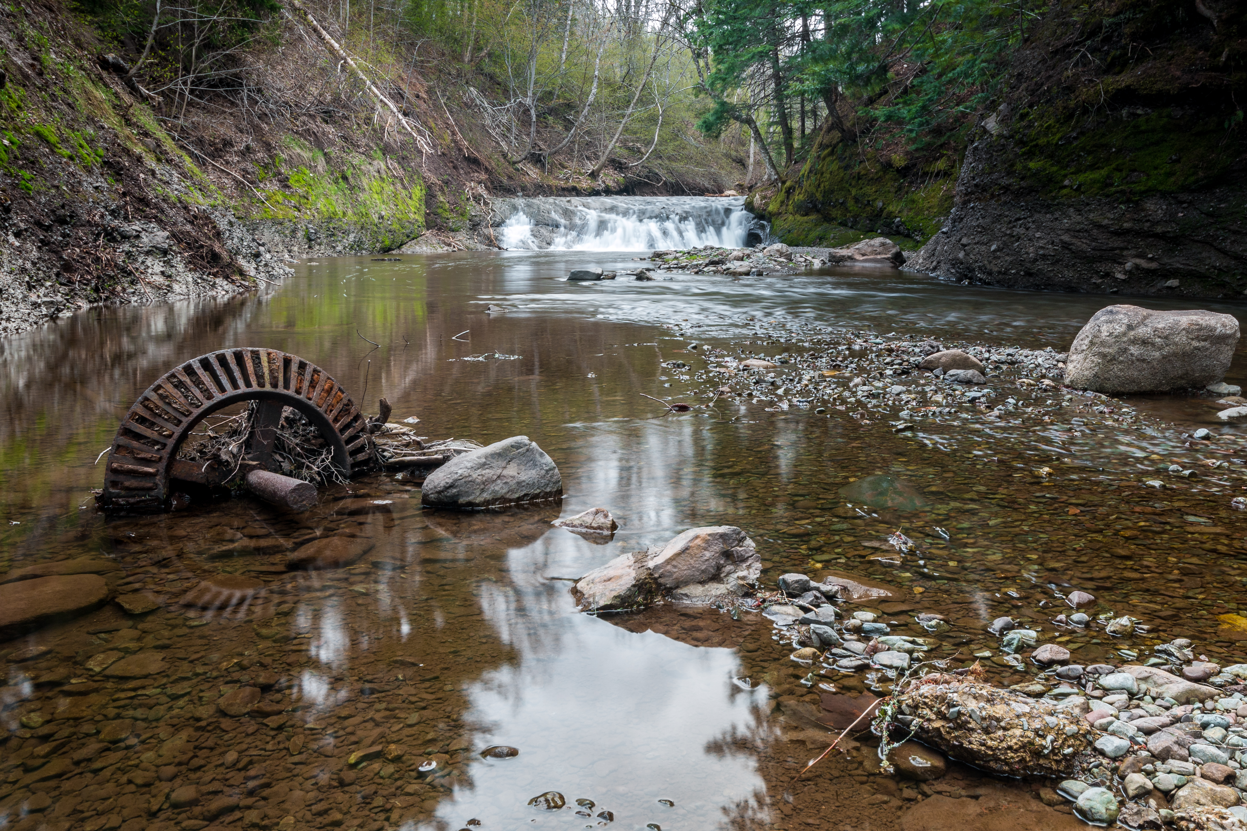
Upstream from the Mill
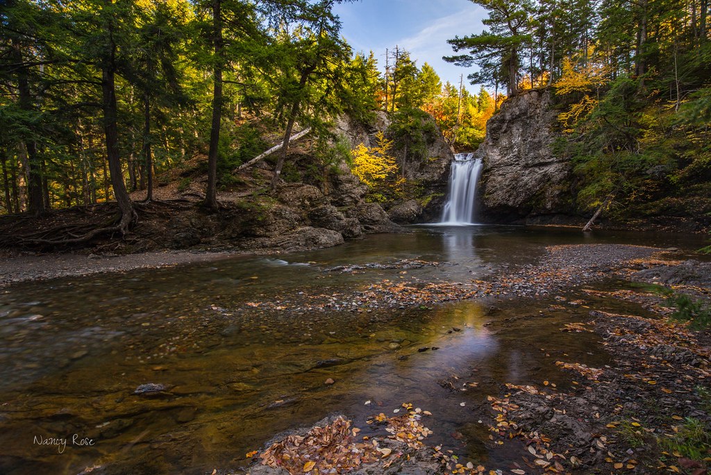
Drysdale Falls, NS, dressed in autumn colors
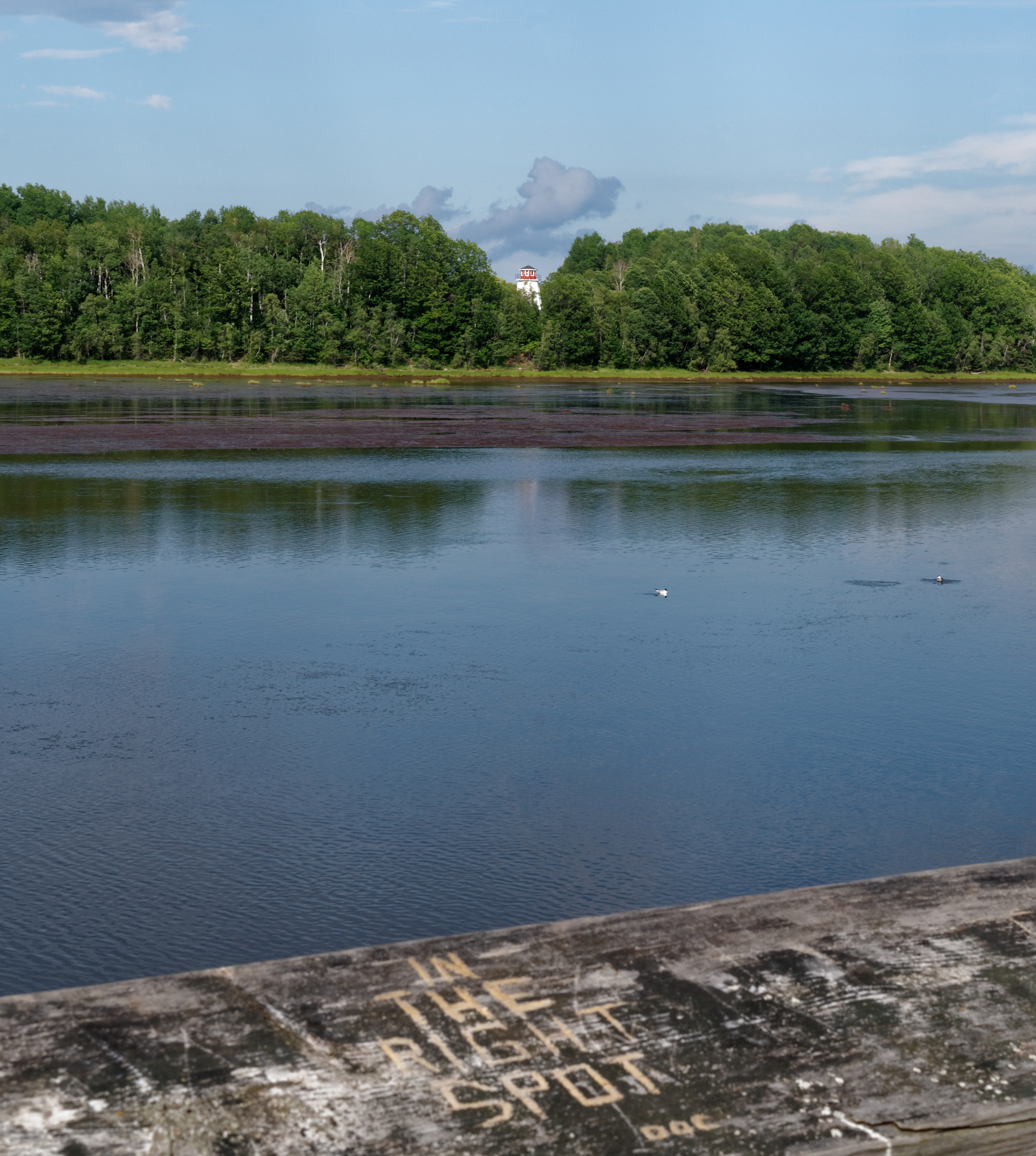
In the right spot
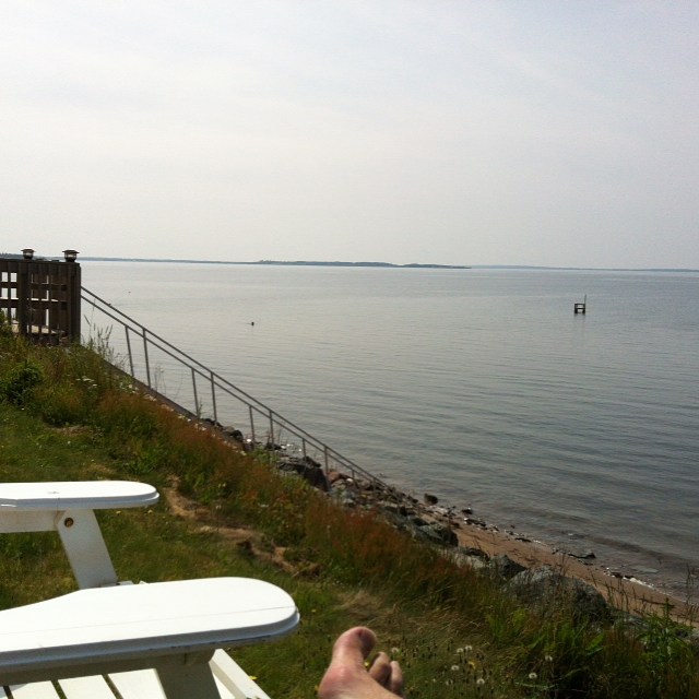
Current sitch....chillin at the cottage. #HighTide #BruleBeach #VacationMode
Topographic Map of 12 Oak Ridge Ct, Tatamagouche, NS B0K 1V0, Canada
Find elevation by address:

Places near 12 Oak Ridge Ct, Tatamagouche, NS B0K 1V0, Canada:
Tatamagouche
22 Riverside Dr
614 Sand Point Rd
Clarks Road
Bayhead
Malagash
W Tatamagouche Rd, Tatamagouche, NS B0K 1V0, Canada
48 Vintage Ln
North Shore
Logan Rd, Malagash, NS B0K 1E0, Canada
45-19
B0k 1y0
Wallace
Fox Harbour
Cumberland, Subd. D
689 Kerrs Mill Rd
Feldershore Drive
2478 Gulf Shore Rd
1918 Gulf Shore Rd
1916 Gulf Shore Rd
Recent Searches:
- Elevation of Corso Fratelli Cairoli, 35, Macerata MC, Italy
- Elevation of Tallevast Rd, Sarasota, FL, USA
- Elevation of 4th St E, Sonoma, CA, USA
- Elevation of Black Hollow Rd, Pennsdale, PA, USA
- Elevation of Oakland Ave, Williamsport, PA, USA
- Elevation of Pedrógão Grande, Portugal
- Elevation of Klee Dr, Martinsburg, WV, USA
- Elevation of Via Roma, Pieranica CR, Italy
- Elevation of Tavkvetili Mountain, Georgia
- Elevation of Hartfords Bluff Cir, Mt Pleasant, SC, USA