Elevation of Bayhead, NS B0K, Canada
Location: Canada > Nova Scotia > Colchester County > Colchester, Subd. B >
Longitude: -63.379106
Latitude: 45.7374784
Elevation: 22m / 72feet
Barometric Pressure: 101KPa
Elevation Map:
Satellite Map:
Related Photos:

Snail's Pace

Common Green Darner - Nova Scotia
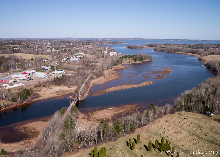
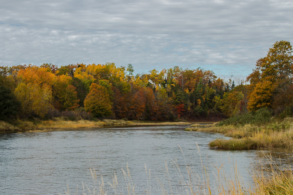
Aerial view of the town of Tatamagouche, Nova Scotia alongside the Waugh River - Kite Aerial Photography (KAP)

Aerial view of the town of Tatamagouche, Nova Scotia alongside the Waugh River - Kite Aerial Photography (KAP)

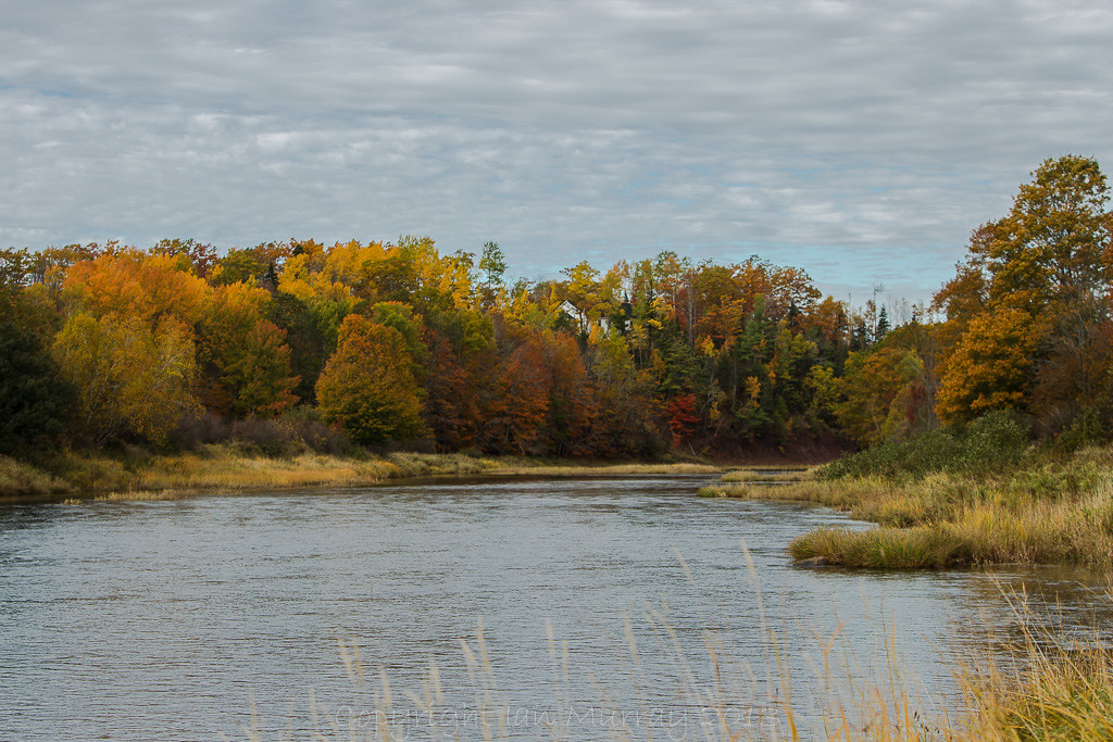
Aerial view of the Waugh River flowing past Tatamagouche, Nova Scotia - Kite Aerial Photography (KAP)
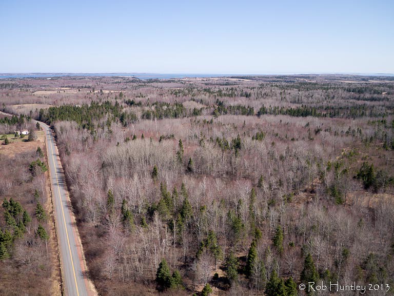
Aerial view of a road through the countryside near Tatamagouche, Nova Scotia - Kite Aerial Photography (KAP)

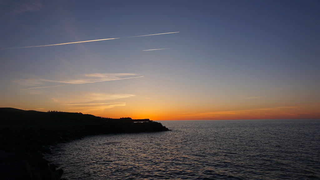
Atlantic Ocean / view of where we're staying from the Atlantic Ocean. #greasemarks #private beach #maritimerockabillyshakedown #nolittlemarks

Northumberland Strait View from the Guesthouses at Fox Harb'r
Wallace, Nova Scotia
Wallace, Nova Scotia
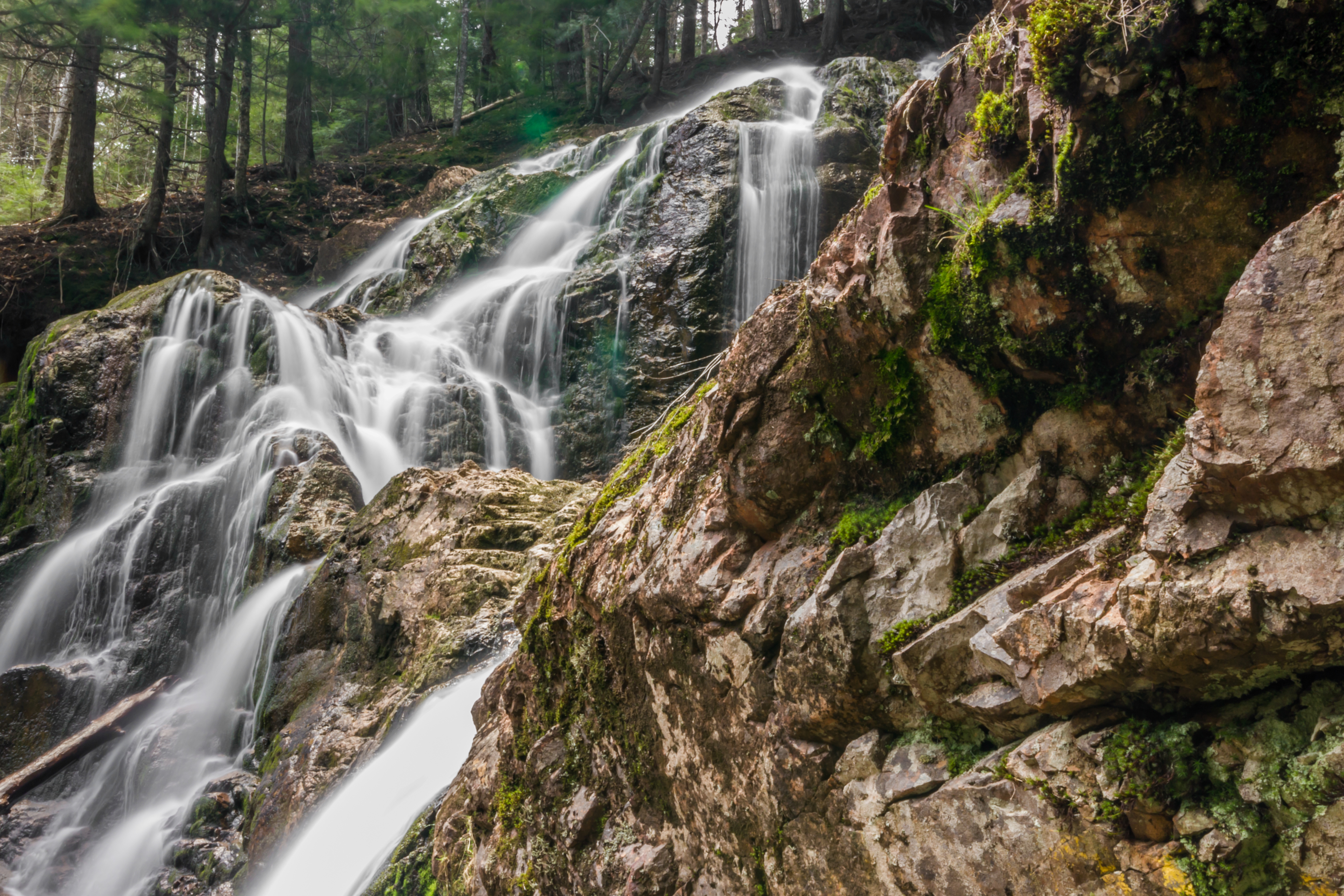
Wentworth Falls

Fox Harb'r Golf Course Undulations, Northumberland Strait
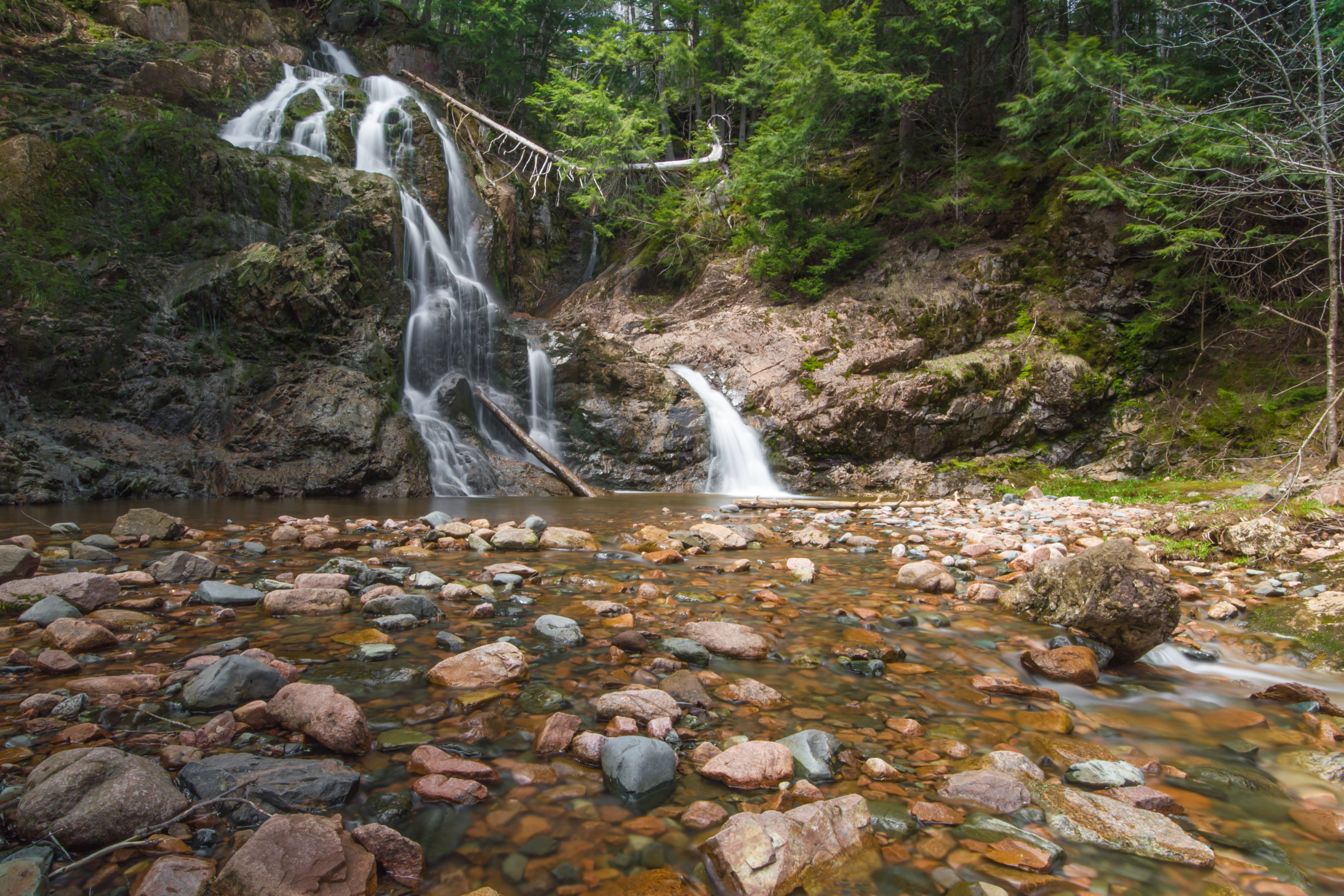
Wentworth Falls
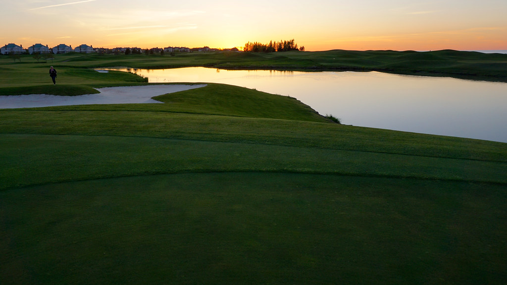
Sunset at the Fox Harb'r Golf Course
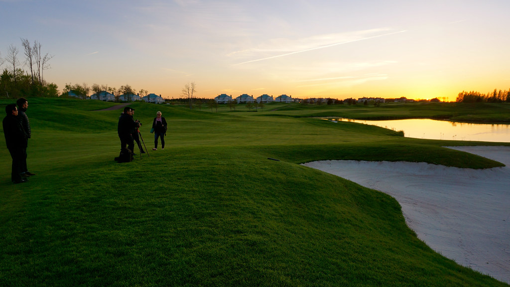
Sunset at the Fox Harb'r Golf Course
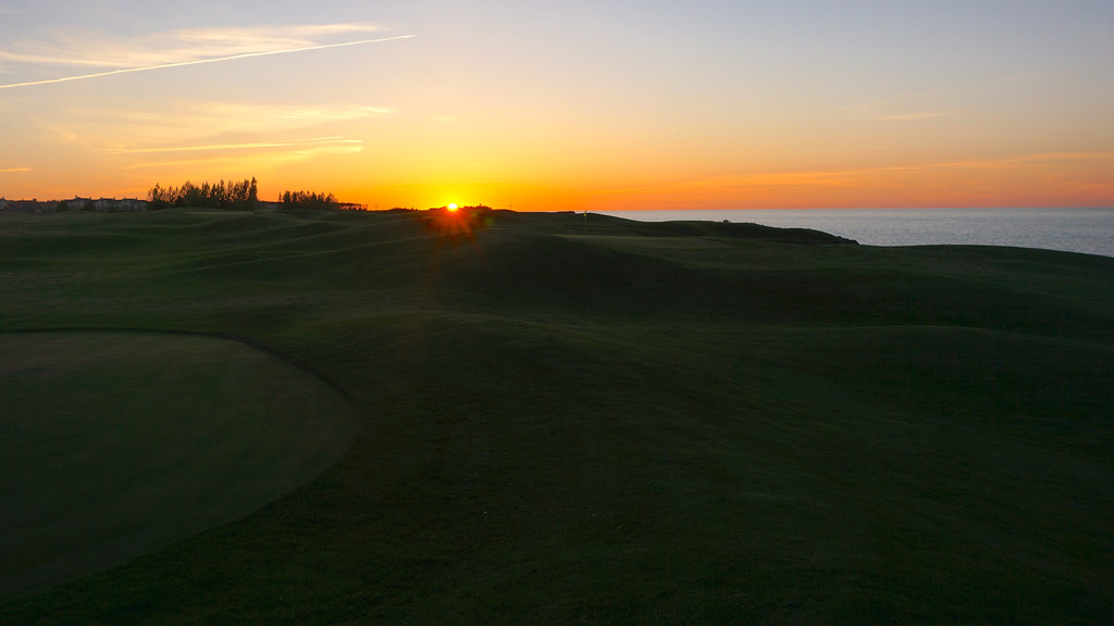
Sunset over the Fox Harb'r Golf Course

Fox Harb'r Greenhouses
Fox Harb'r Golf Green at Dusk
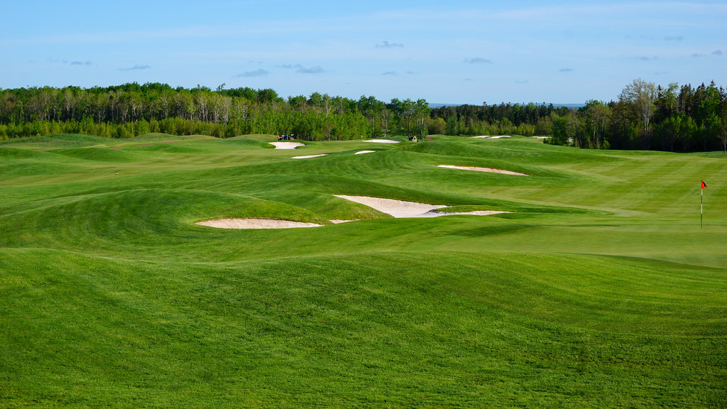
Fox Harb'r Golf Course

Sunset Reflection, Fox Harb'r

Fox Harb'r Golf Course
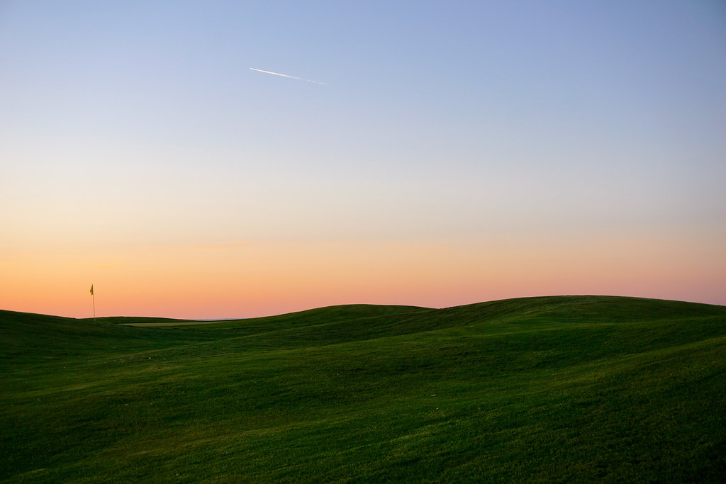
Sunset over the Northumberland Strait, Contrails

Sunset over the Northumberland Strait, Contrails
IMGL7603 Wallace River, Nova Scotia
IMGL7604 Wallace River, Nova Scotia
Grève

Sunset by Seaside

Geraniums in the Fox Harb'r Greenhouses

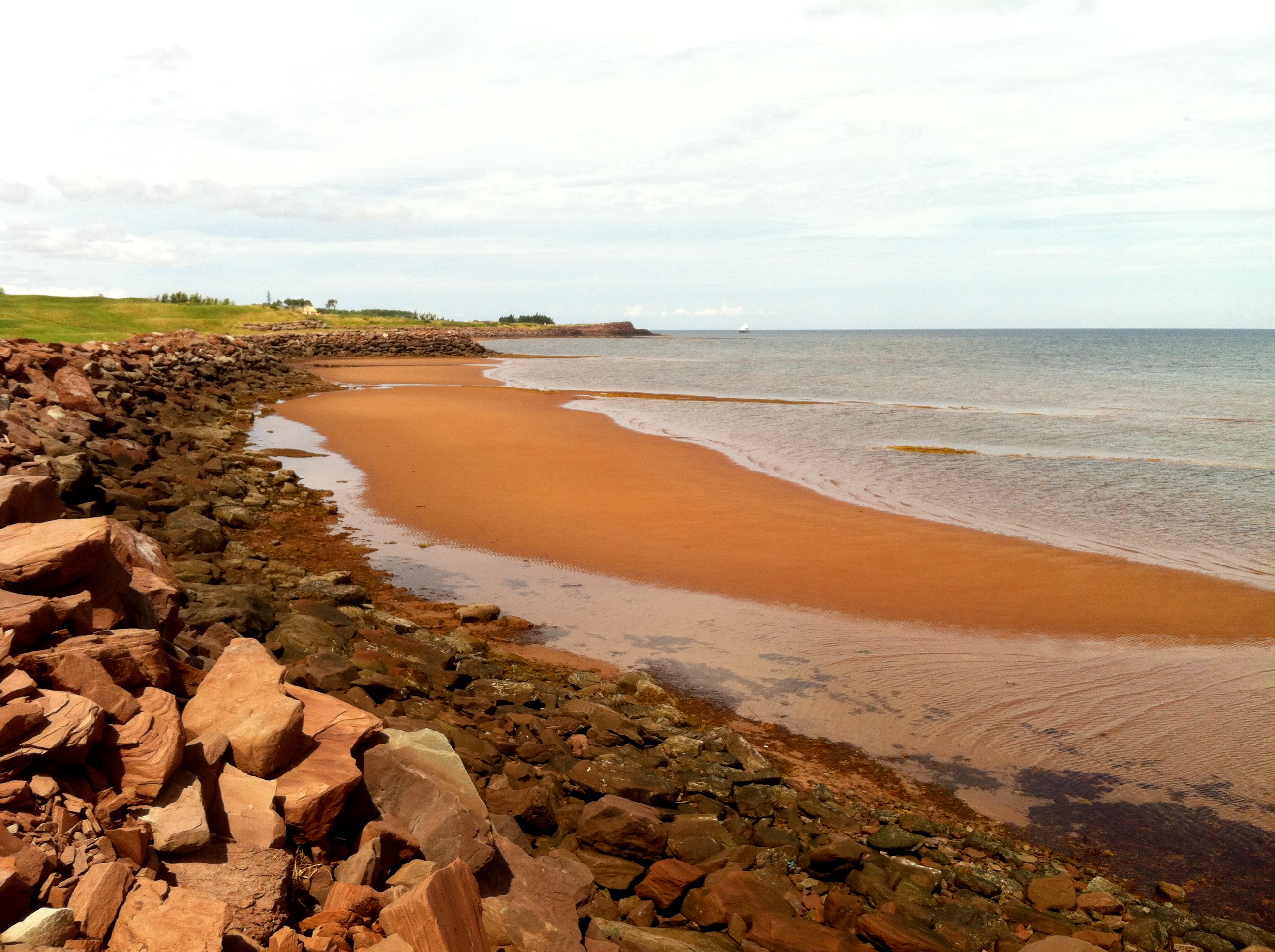
Low Tide
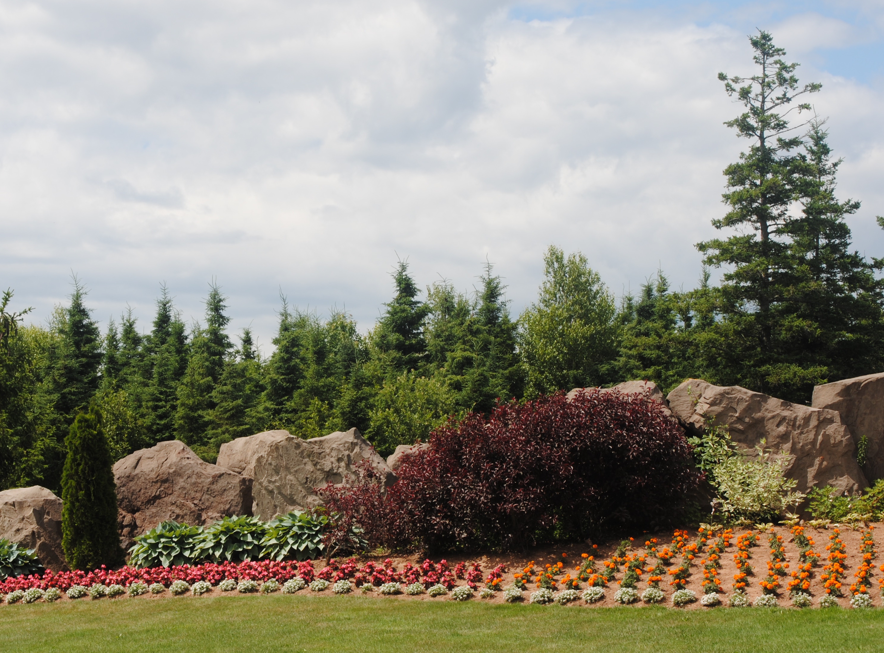
flower garden
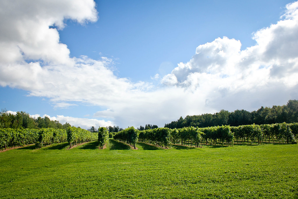
Jost Vineyard
Topographic Map of Bayhead, NS B0K, Canada
Find elevation by address:

Places in Bayhead, NS B0K, Canada:
Places near Bayhead, NS B0K, Canada:
Clarks Road
Malagash
W Tatamagouche Rd, Tatamagouche, NS B0K 1V0, Canada
48 Vintage Ln
North Shore
Logan Rd, Malagash, NS B0K 1E0, Canada
Tatamagouche
12 Oak Ridge Ct
614 Sand Point Rd
22 Riverside Dr
B0k 1y0
45-19
Wallace
Fox Harbour
Cumberland, Subd. D
689 Kerrs Mill Rd
Feldershore Drive
2478 Gulf Shore Rd
1918 Gulf Shore Rd
1916 Gulf Shore Rd
Recent Searches:
- Elevation of Corso Fratelli Cairoli, 35, Macerata MC, Italy
- Elevation of Tallevast Rd, Sarasota, FL, USA
- Elevation of 4th St E, Sonoma, CA, USA
- Elevation of Black Hollow Rd, Pennsdale, PA, USA
- Elevation of Oakland Ave, Williamsport, PA, USA
- Elevation of Pedrógão Grande, Portugal
- Elevation of Klee Dr, Martinsburg, WV, USA
- Elevation of Via Roma, Pieranica CR, Italy
- Elevation of Tavkvetili Mountain, Georgia
- Elevation of Hartfords Bluff Cir, Mt Pleasant, SC, USA