Elevation of Jim Brite Rd, Pleasanton, TX, USA
Location: United States > Texas > Atascosa County >
Longitude: -98.360286
Latitude: 28.918382
Elevation: 96m / 315feet
Barometric Pressure: 100KPa
Elevation Map:
Satellite Map:
Related Photos:
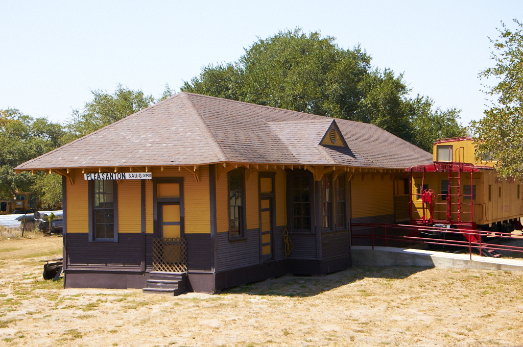
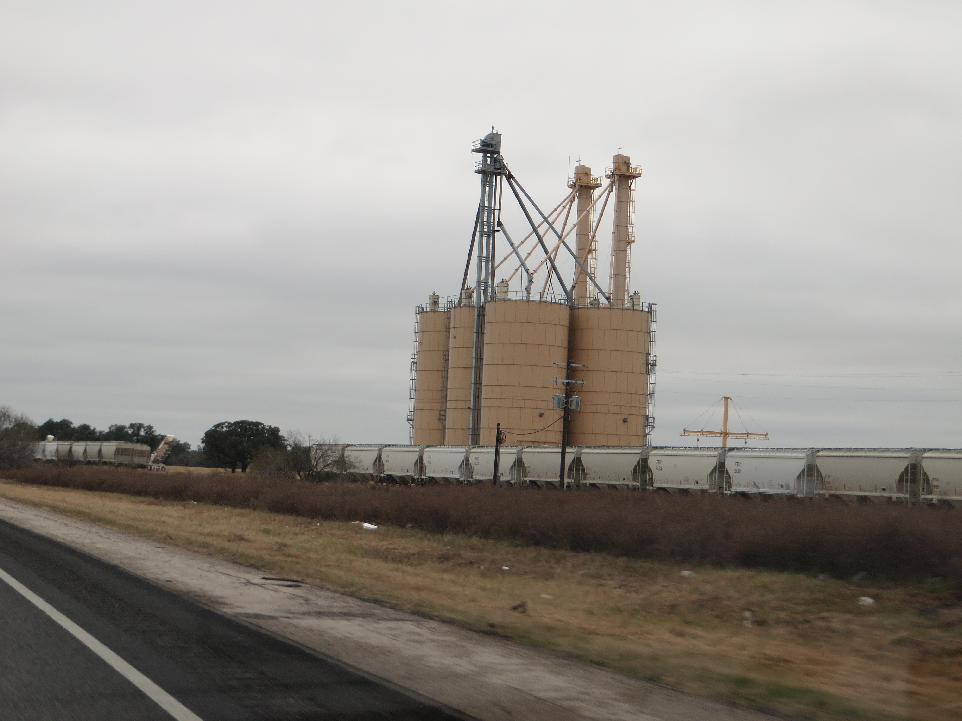
Train Depot
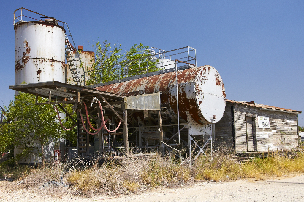
Fuel Depot

Spring Mix

Bluebonnets and Prairie Verbena

Wildflower Vortex

Atascosa River

Pleasanton Country Club

Luna's, good side...

Luna, relaxing on the patio couch, watching College Game Day!

Big rainfall damage...

Christmas Humor!

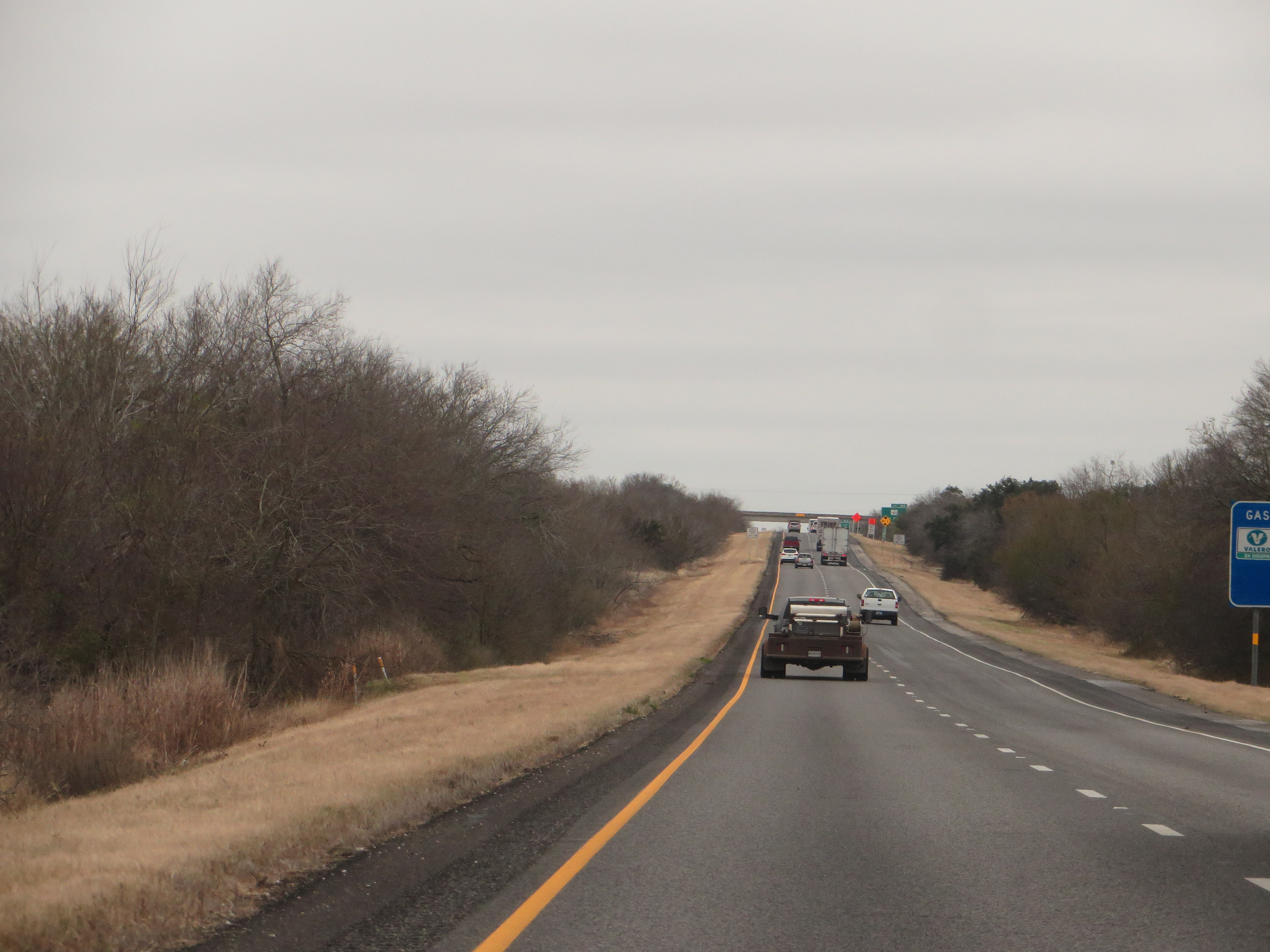
Interstate 37 Between San Antonio and Corpus Christi, Texas

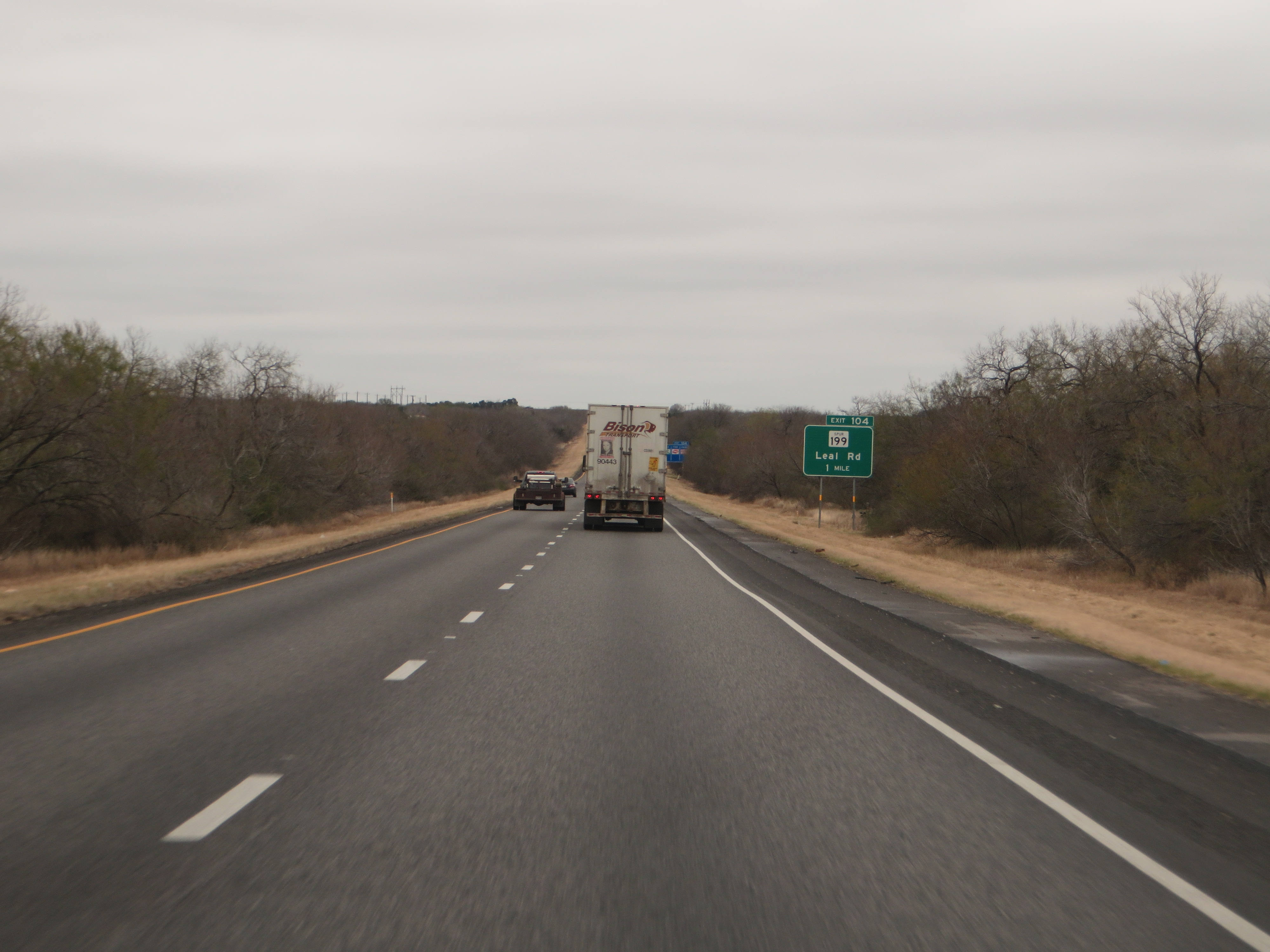
Interstate 37 Between San Antonio and Corpus Christi, Texas
Interstate 37 Between San Antonio and Corpus Christi, Texas
Interstate 37 Between San Antonio and Corpus Christi, Texas

Interstate 37 Between San Antonio and Corpus Christi, Texas
Interstate 37 Between San Antonio and Corpus Christi, Texas

Interstate 37 Between San Antonio and Corpus Christi, Texas

Big rainfall damage...

Sunday Motor Cycle Riders #biker #bikers #bikerworld #bikers_life #brotherhood #goldwing #honda
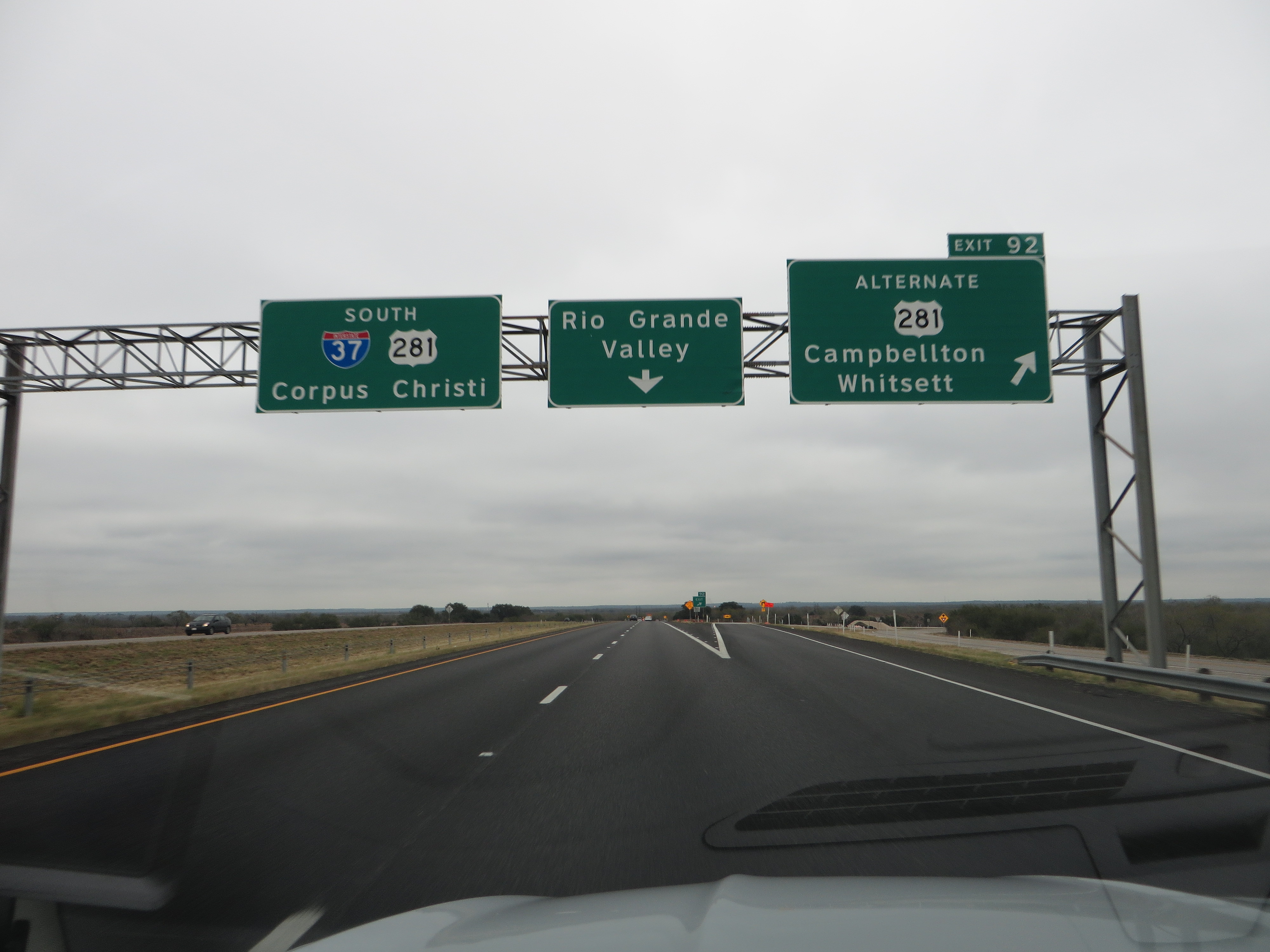
Interstate 37 Between San Antonio and Corpus Christi, Texas

Interstate 37 Between San Antonio and Corpus Christi, Texas
Topographic Map of Jim Brite Rd, Pleasanton, TX, USA
Find elevation by address:

Places near Jim Brite Rd, Pleasanton, TX, USA:
185 S Trail
FM, Pleasanton, TX, USA
Cr, Floresville, TX, USA
Campbellton
FM, Pleasanton, TX, USA
County Rd, Floresville, TX, USA
Fm W, Floresville, TX, USA
FM, Falls City, TX, USA
6270 Fm2579
FM 99, Campbellton, TX, USA
330 Broken Arrow
250 Broken Arrow
Sacramento Icehouse
County Road 159
FM, Floresville, TX, USA
Floresville
528 10th St
Poth
S Storts St, Poth, TX, USA
2066 County Rd 405
Recent Searches:
- Elevation of Corso Fratelli Cairoli, 35, Macerata MC, Italy
- Elevation of Tallevast Rd, Sarasota, FL, USA
- Elevation of 4th St E, Sonoma, CA, USA
- Elevation of Black Hollow Rd, Pennsdale, PA, USA
- Elevation of Oakland Ave, Williamsport, PA, USA
- Elevation of Pedrógão Grande, Portugal
- Elevation of Klee Dr, Martinsburg, WV, USA
- Elevation of Via Roma, Pieranica CR, Italy
- Elevation of Tavkvetili Mountain, Georgia
- Elevation of Hartfords Bluff Cir, Mt Pleasant, SC, USA