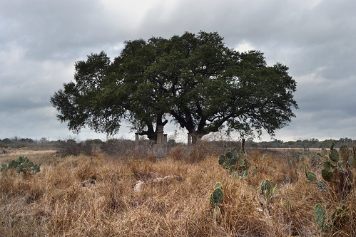
Elevation of S Trail, Pleasanton, TX, USA
Location: United States > Texas > Atascosa County > Pleasanton >
Longitude: -98.420722
Latitude: 28.9779167
Elevation: 115m / 377feet
Barometric Pressure: 100KPa
Related Photos:
Topographic Map of S Trail, Pleasanton, TX, USA
Find elevation by address:

Places near S Trail, Pleasanton, TX, USA:
FM, Pleasanton, TX, USA
Jim Brite Rd, Pleasanton, TX, USA
FM, Pleasanton, TX, USA
County Rd, Floresville, TX, USA
Cr, Floresville, TX, USA
6270 Fm2579
330 Broken Arrow
250 Broken Arrow
County Road 159
Fm W, Floresville, TX, USA
FM, Floresville, TX, USA
Sacramento Icehouse
Campbellton
FM, Falls City, TX, USA
Elmendorf
Floresville
528 10th St
S Presa St, San Antonio, TX, USA
10615 Green Vista St
585 Flower Trail Loop
Recent Searches:
- Elevation of Corso Fratelli Cairoli, 35, Macerata MC, Italy
- Elevation of Tallevast Rd, Sarasota, FL, USA
- Elevation of 4th St E, Sonoma, CA, USA
- Elevation of Black Hollow Rd, Pennsdale, PA, USA
- Elevation of Oakland Ave, Williamsport, PA, USA
- Elevation of Pedrógão Grande, Portugal
- Elevation of Klee Dr, Martinsburg, WV, USA
- Elevation of Via Roma, Pieranica CR, Italy
- Elevation of Tavkvetili Mountain, Georgia
- Elevation of Hartfords Bluff Cir, Mt Pleasant, SC, USA


