Elevation of FM, Floresville, TX, USA
| Latitude | 29.1780224 |
|---|---|
| Longitude | -98.3352715 |
| Elevation | 141m / 463feet |
| Barometric Pressure | 996KPa |
Related Photos:
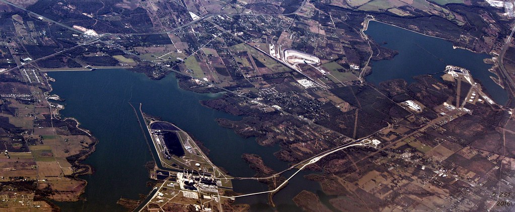
Calaveras Lake, San Antonio, TX

Top of Cress Assay Oven

_DSC8330-S

Morning along the river
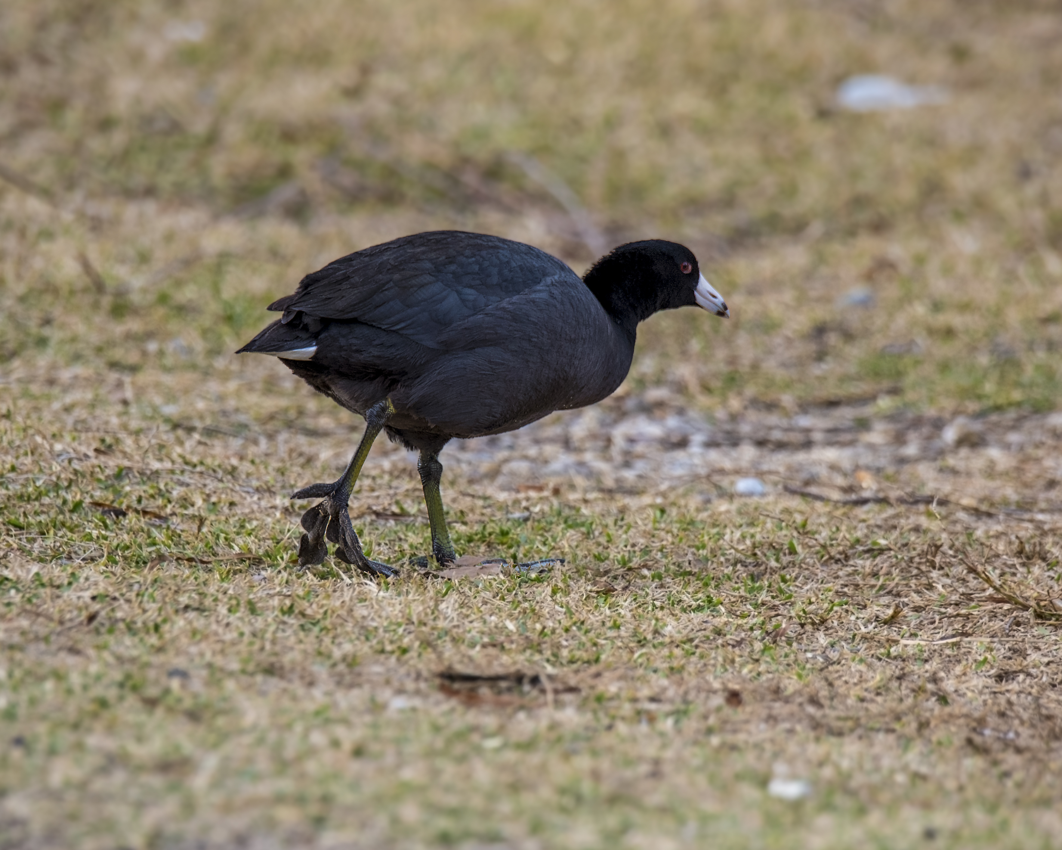
walking American Coot

P5213077.JPG

P5213058.JPG

The Wildflowers have arrived
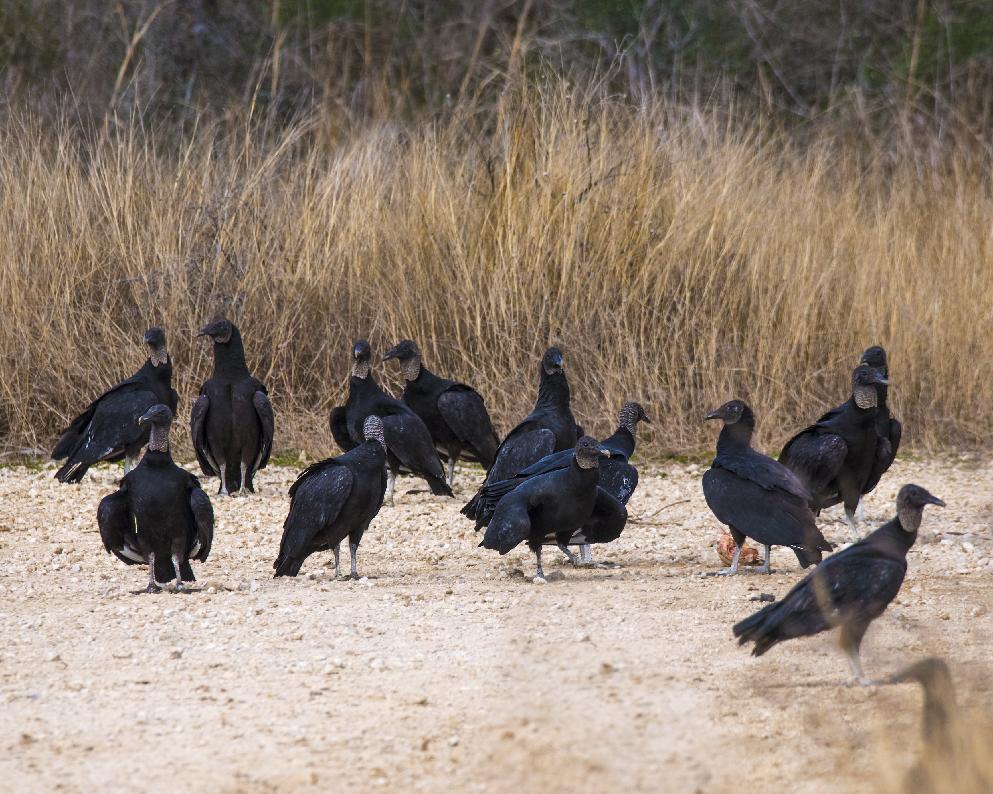
Part of a Wake of Black Vultures

Spring Bouquet

Hmmm. I'm still a long way from home.

Bluebonnets! As far as the eye can see. S. I37 just south of San Antonio
Topographic Map of FM, Floresville, TX, USA
Find elevation by address:
Places near FM, Floresville, TX, USA:
330 Broken Arrow
250 Broken Arrow
County Road 159
FM, Floresville, TX, USA
Sacramento Icehouse
County Rd, Floresville, TX, USA
Elmendorf
FM, Pleasanton, TX, USA
11205 Kosub Ln
585 Flower Trail Loop
1826 Burr Oak Ln
9660 S Foster Rd
FM, Pleasanton, TX, USA
10615 Green Vista St
S Presa St, San Antonio, TX, USA
9006 Stuart Rd
528 10th St
Cr, Floresville, TX, USA
Floresville
3678 Lyster Rd
Recent Searches:
- Elevation of 104, Chancery Road, Middletown Township, Bucks County, Pennsylvania, 19047, USA
- Elevation of 1212, Cypress Lane, Dayton, Liberty County, Texas, 77535, USA
- Elevation map of Central Hungary, Hungary
- Elevation map of Pest, Central Hungary, Hungary
- Elevation of Pilisszentkereszt, Pest, Central Hungary, Hungary
- Elevation of Dharamkot Tahsil, Punjab, India
- Elevation of Bhinder Khurd, Dharamkot Tahsil, Punjab, India
- Elevation of 2881, Chabot Drive, San Bruno, San Mateo County, California, 94066, USA
- Elevation of 10370, West 107th Circle, Westminster, Jefferson County, Colorado, 80021, USA
- Elevation of 611, Roman Road, Old Ford, Bow, London, England, E3 2RW, United Kingdom
- Elevation of 116, Beartown Road, Underhill, Chittenden County, Vermont, 05489, USA
- Elevation of Window Rock, Colfax County, New Mexico, 87714, USA
- Elevation of 4807, Rosecroft Street, Kempsville Gardens, Virginia Beach, Virginia, 23464, USA
- Elevation map of Matawinie, Quebec, Canada
- Elevation of Sainte-Émélie-de-l'Énergie, Matawinie, Quebec, Canada
- Elevation of Rue du Pont, Sainte-Émélie-de-l'Énergie, Matawinie, Quebec, J0K2K0, Canada
- Elevation of 8, Rue de Bécancour, Blainville, Thérèse-De Blainville, Quebec, J7B1N2, Canada
- Elevation of Wilmot Court North, 163, University Avenue West, Northdale, Waterloo, Region of Waterloo, Ontario, N2L6B6, Canada
- Elevation map of Panamá Province, Panama
- Elevation of Balboa, Panamá Province, Panama