Elevation of County Rd, Floresville, TX, USA
Location: United States > Texas > Wilson County > Floresville >
Longitude: -98.32281
Latitude: 29.112091
Elevation: 171m / 561feet
Barometric Pressure: 99KPa
Elevation Map:
Satellite Map:
Related Photos:

No Parking
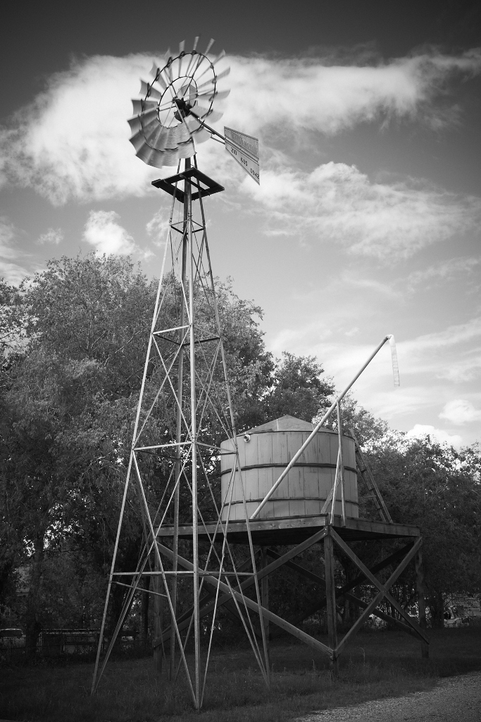
Water Stop

Hometown Woodcrafts Sign

Bucket Planter

White House Cafe
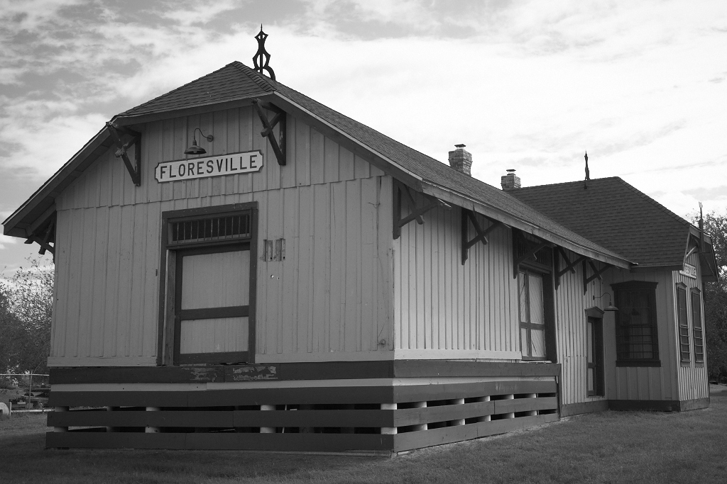
Depot in B&W

brian bike bw.jpg

brian bike.jpg

IMG_3301.jpg

IMG_3303.jpg

_DSC8330-S
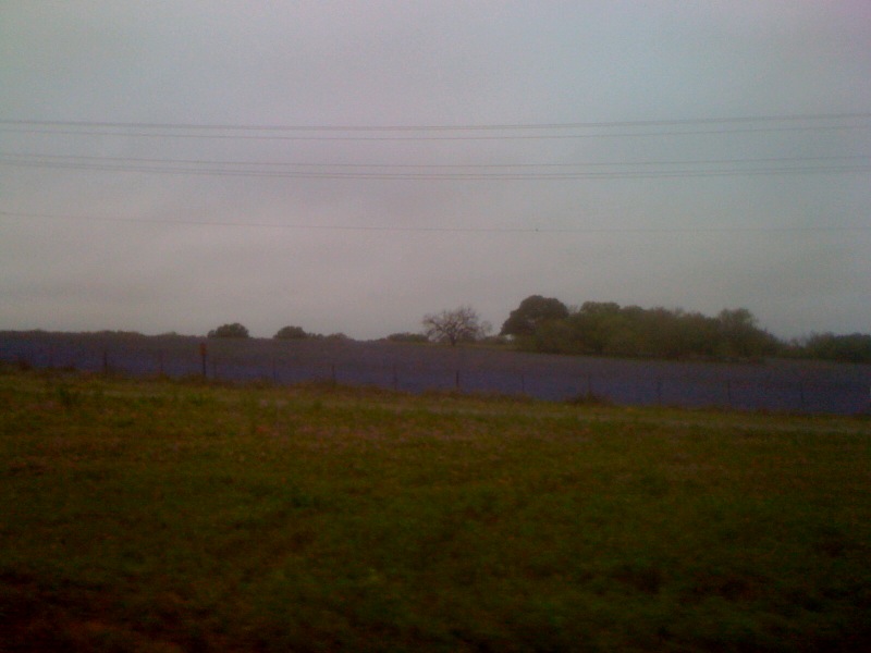
Bluebonnets! As far as the eye can see. S. I37 just south of San Antonio

Spring Mix

Bluebonnets and Prairie Verbena

Wildflower Vortex
Topographic Map of County Rd, Floresville, TX, USA
Find elevation by address:

Places near County Rd, Floresville, TX, USA:
6270 Fm2579
FM, Pleasanton, TX, USA
330 Broken Arrow
250 Broken Arrow
Sacramento Icehouse
County Road 159
FM, Floresville, TX, USA
FM, Pleasanton, TX, USA
Cr, Floresville, TX, USA
Elmendorf
528 10th St
185 S Trail
Floresville
1826 Burr Oak Ln
Fm W, Floresville, TX, USA
585 Flower Trail Loop
11205 Kosub Ln
Jim Brite Rd, Pleasanton, TX, USA
9660 S Foster Rd
10615 Green Vista St
Recent Searches:
- Elevation of Corso Fratelli Cairoli, 35, Macerata MC, Italy
- Elevation of Tallevast Rd, Sarasota, FL, USA
- Elevation of 4th St E, Sonoma, CA, USA
- Elevation of Black Hollow Rd, Pennsdale, PA, USA
- Elevation of Oakland Ave, Williamsport, PA, USA
- Elevation of Pedrógão Grande, Portugal
- Elevation of Klee Dr, Martinsburg, WV, USA
- Elevation of Via Roma, Pieranica CR, Italy
- Elevation of Tavkvetili Mountain, Georgia
- Elevation of Hartfords Bluff Cir, Mt Pleasant, SC, USA