Elevation of FM 99, Campbellton, TX, USA
Location: United States > Texas > Atascosa County > Campbellton >
Longitude: -98.140090
Latitude: 28.7738629
Elevation: 120m / 394feet
Barometric Pressure: 100KPa
Elevation Map:
Satellite Map:
Related Photos:
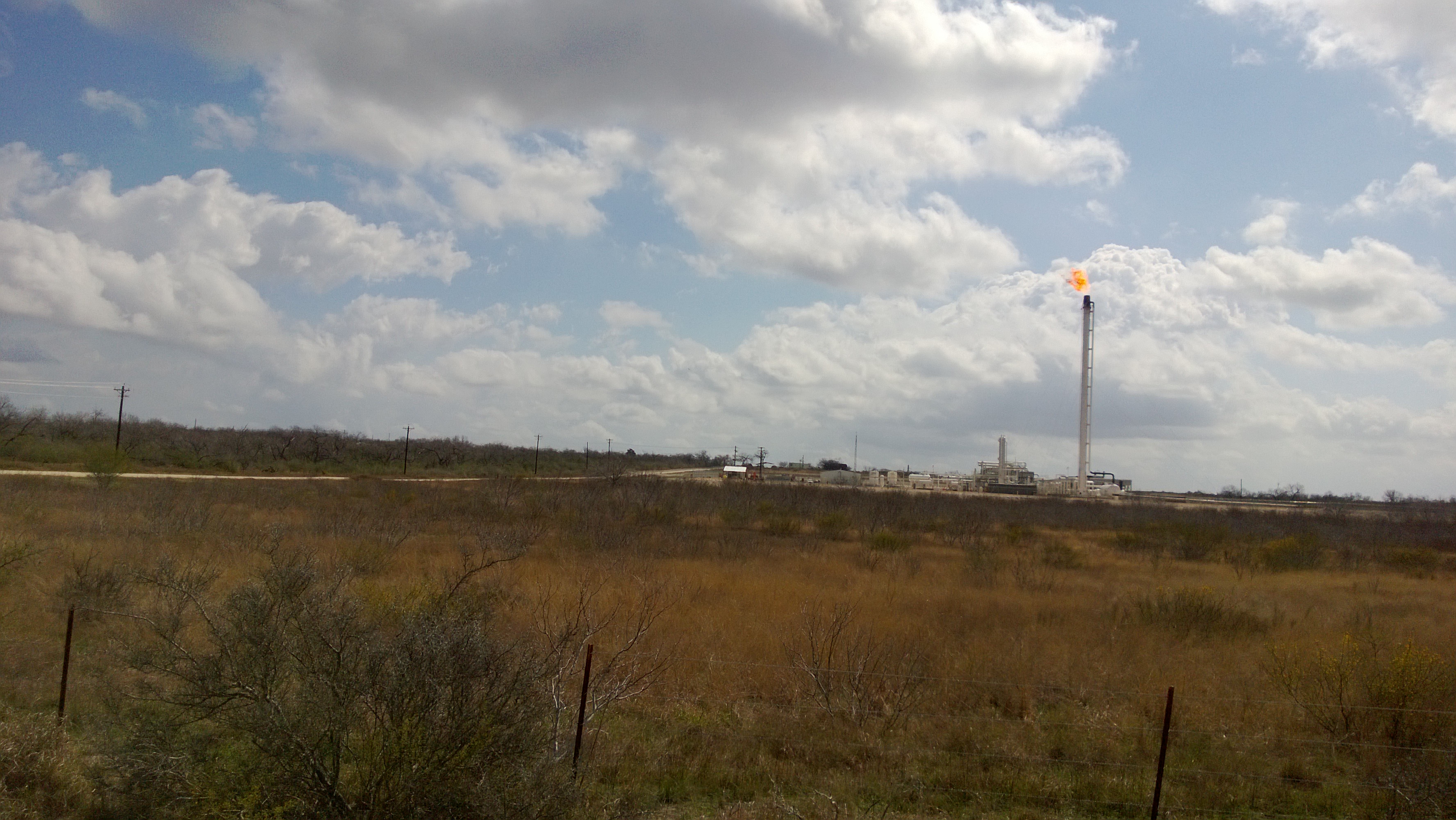
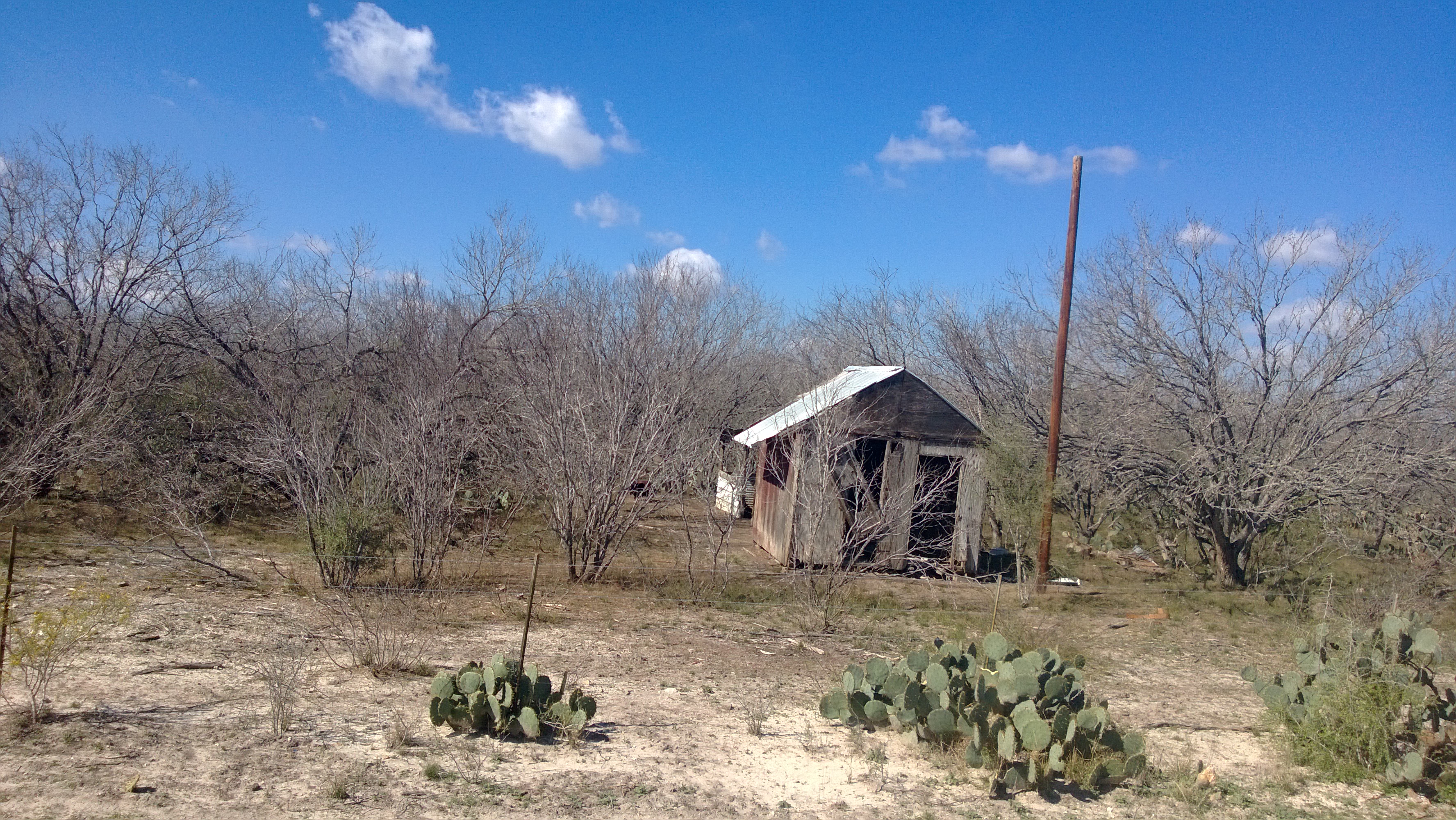
Nokia Lumia 002
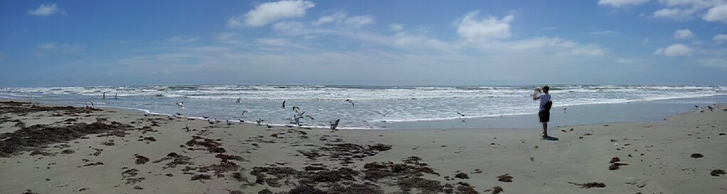
Mustang Island
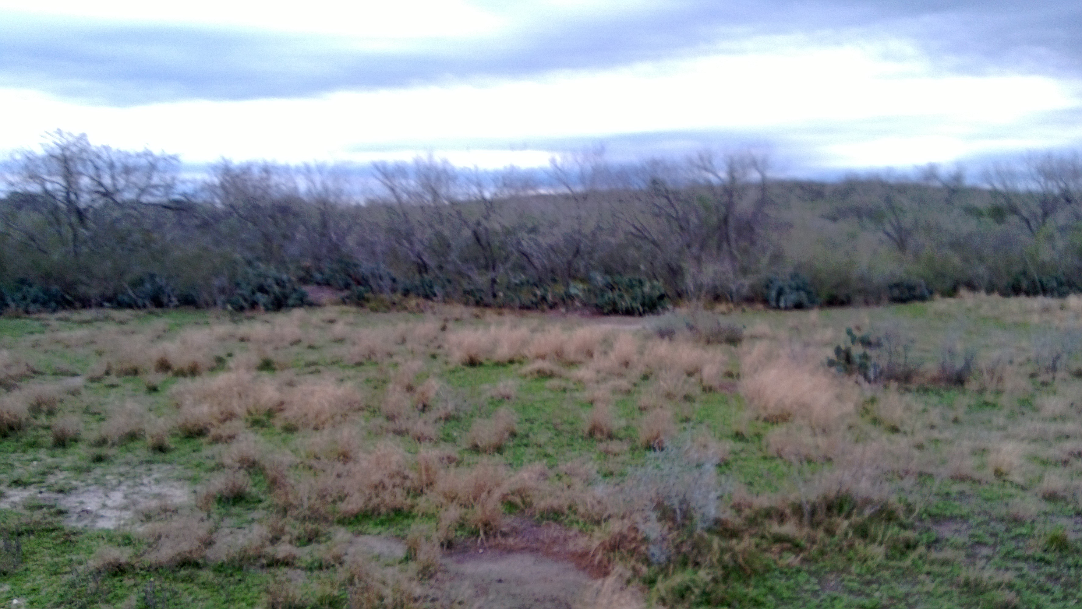
Nokia Lumia 002

Brown Thrasher

Indian paintbrush and sunflowers

WP_20150422_001 (2)
Nokia Lumia 003
Nokia Lumia 003
Nokia Lumia 002

Nokia Lumia 002
nokia lumia one year of photos january 27th 2014 088

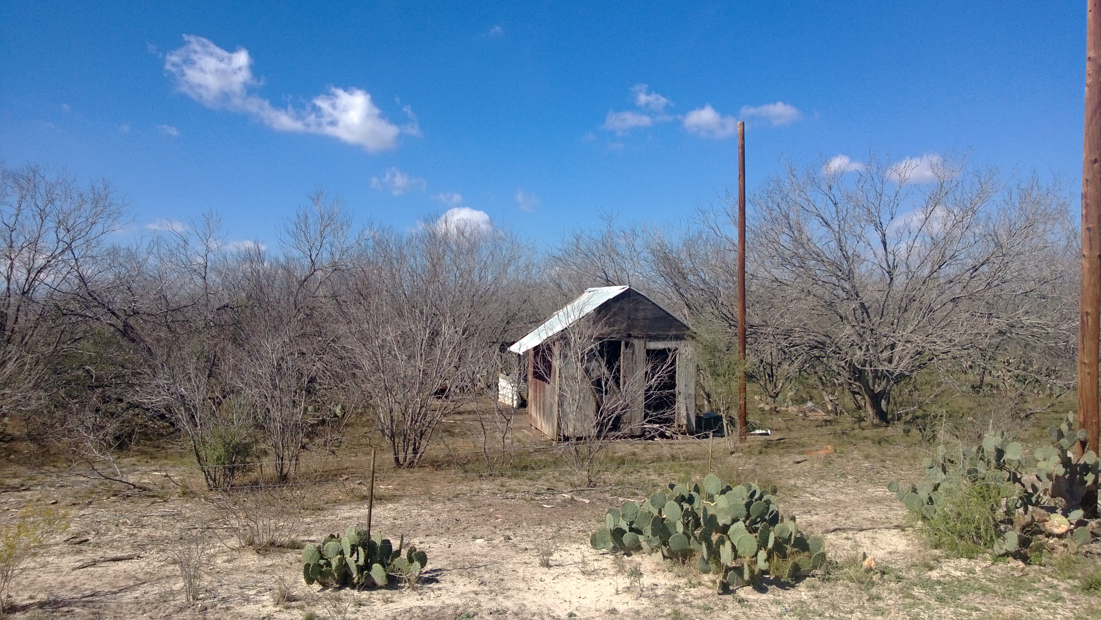
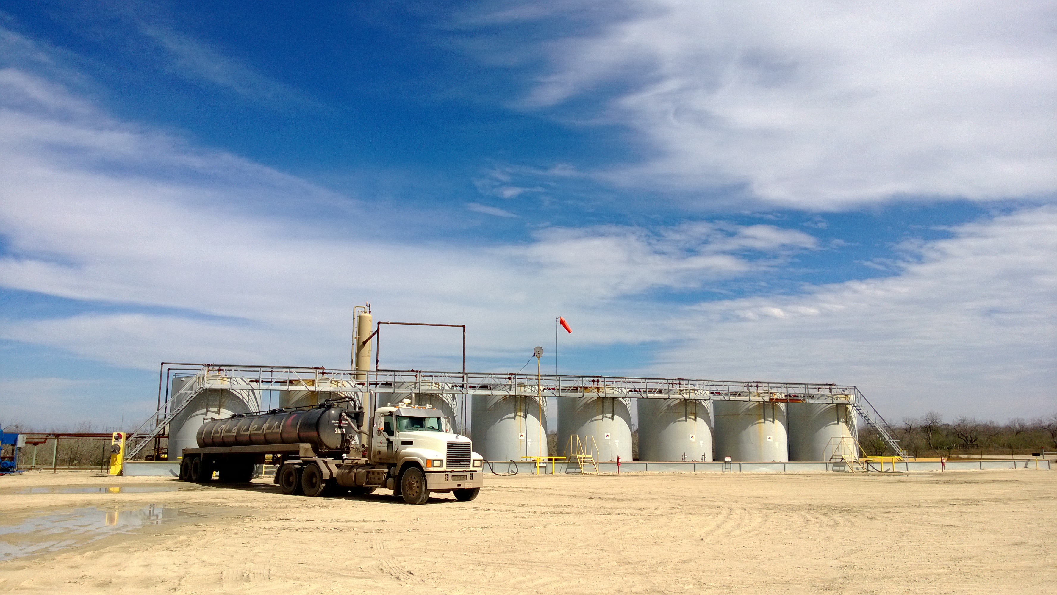
Karnes County Structure

Snow and Ross's Geese

Snow and Ross's Geese

Greater White-fronted Goose

Snow Geese

Sandhill Cranes
Topographic Map of FM 99, Campbellton, TX, USA
Find elevation by address:

Places near FM 99, Campbellton, TX, USA:
FM, Falls City, TX, USA
Campbellton
Co Rd, Kenedy, TX, USA
Hobson
Falls City
Fm W, Floresville, TX, USA
Jim Brite Rd, Pleasanton, TX, USA
Karnes City
Cr, Floresville, TX, USA
711 Helena Rd
400 Tx-123
130 Bluebonnet Dr
302 Tx-72
302 Tx-72
302 Tx-72
W Main St, Kenedy, TX, USA
Kenedy
420 Cottonwood St
Karnes County
Poth
Recent Searches:
- Elevation of Corso Fratelli Cairoli, 35, Macerata MC, Italy
- Elevation of Tallevast Rd, Sarasota, FL, USA
- Elevation of 4th St E, Sonoma, CA, USA
- Elevation of Black Hollow Rd, Pennsdale, PA, USA
- Elevation of Oakland Ave, Williamsport, PA, USA
- Elevation of Pedrógão Grande, Portugal
- Elevation of Klee Dr, Martinsburg, WV, USA
- Elevation of Via Roma, Pieranica CR, Italy
- Elevation of Tavkvetili Mountain, Georgia
- Elevation of Hartfords Bluff Cir, Mt Pleasant, SC, USA