Elevation of Jarvis Branch Road, Jarvis Branch Rd, Kentucky, USA
Location: United States > Kentucky > Knox County > Barbourville >
Longitude: -83.885141
Latitude: 36.9584035
Elevation: 317m / 1040feet
Barometric Pressure: 98KPa
Elevation Map:
Satellite Map:
Related Photos:
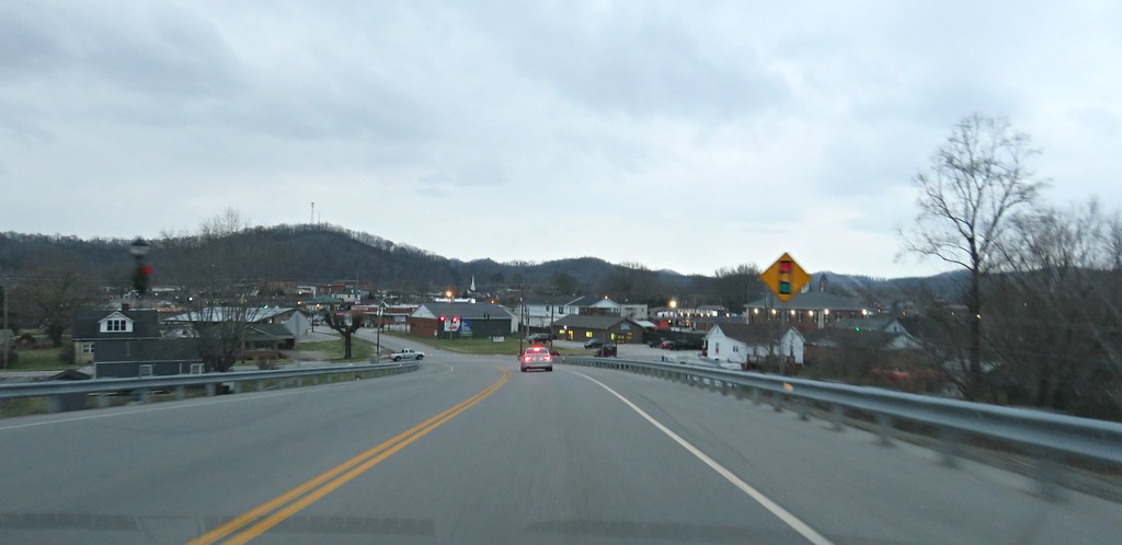
One of my favorite view of Barbourville KY

The Knox County courthouse comes into view

baptism by coal

cut view feb 22 2007

The View
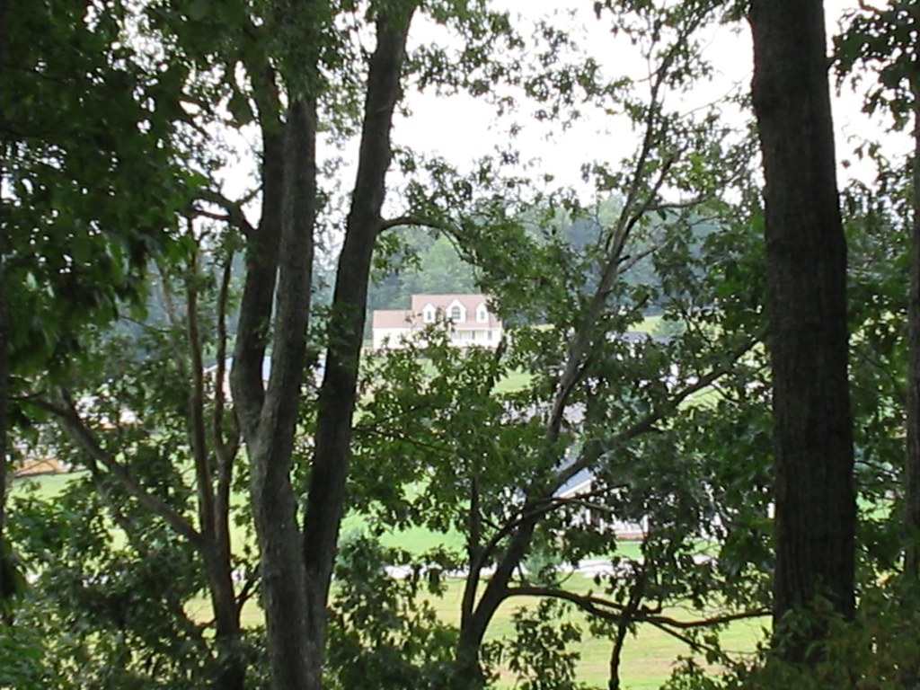
The trees have grown very tall since I last took a picture of this view

Cumberland River

There are some deeper spots in the river

Down on the Cumberland River

Kids off in the distance wading in the river
Topographic Map of Jarvis Branch Road, Jarvis Branch Rd, Kentucky, USA
Find elevation by address:

Places near Jarvis Branch Road, Jarvis Branch Rd, Kentucky, USA:
Hubbard Branch Rd, Barbourville, KY, USA
Knox County
Cannon
Old Farm Rd, Cannon, KY, USA
701 Trace Branch Rd
Heidrick
KY-11, Heidrick, KY, USA
100 Beech St
515 Manchester St
Kayjay, KY, USA
School Street
High Street
Barbourville
Court Square, Barbourville, KY, USA
Bimble
KY-, Flat Lick, KY, USA
228 Baker Rd
US-25E, Barbourville, KY, USA
Farris Road
Gray
Recent Searches:
- Elevation of Corso Fratelli Cairoli, 35, Macerata MC, Italy
- Elevation of Tallevast Rd, Sarasota, FL, USA
- Elevation of 4th St E, Sonoma, CA, USA
- Elevation of Black Hollow Rd, Pennsdale, PA, USA
- Elevation of Oakland Ave, Williamsport, PA, USA
- Elevation of Pedrógão Grande, Portugal
- Elevation of Klee Dr, Martinsburg, WV, USA
- Elevation of Via Roma, Pieranica CR, Italy
- Elevation of Tavkvetili Mountain, Georgia
- Elevation of Hartfords Bluff Cir, Mt Pleasant, SC, USA