Elevation of Baker Rd, Barbourville, KY, USA
Location: United States > Kentucky > Knox County > Barbourville >
Longitude: -83.855813
Latitude: 36.8590731
Elevation: 357m / 1171feet
Barometric Pressure: 97KPa
Elevation Map:
Satellite Map:
Related Photos:
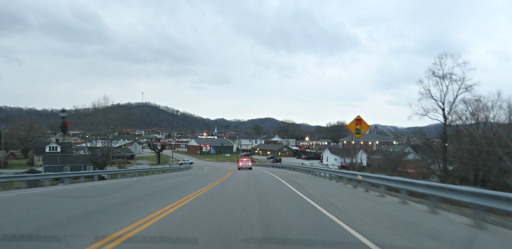
One of my favorite view of Barbourville KY

The Knox County courthouse comes into view
cut view feb 22 2007

The View

Kids off in the distance wading in the river

Down on the Cumberland River

Cumberland River

There are some deeper spots in the river

A few of 2014 iPhone pix

Rescue Mission
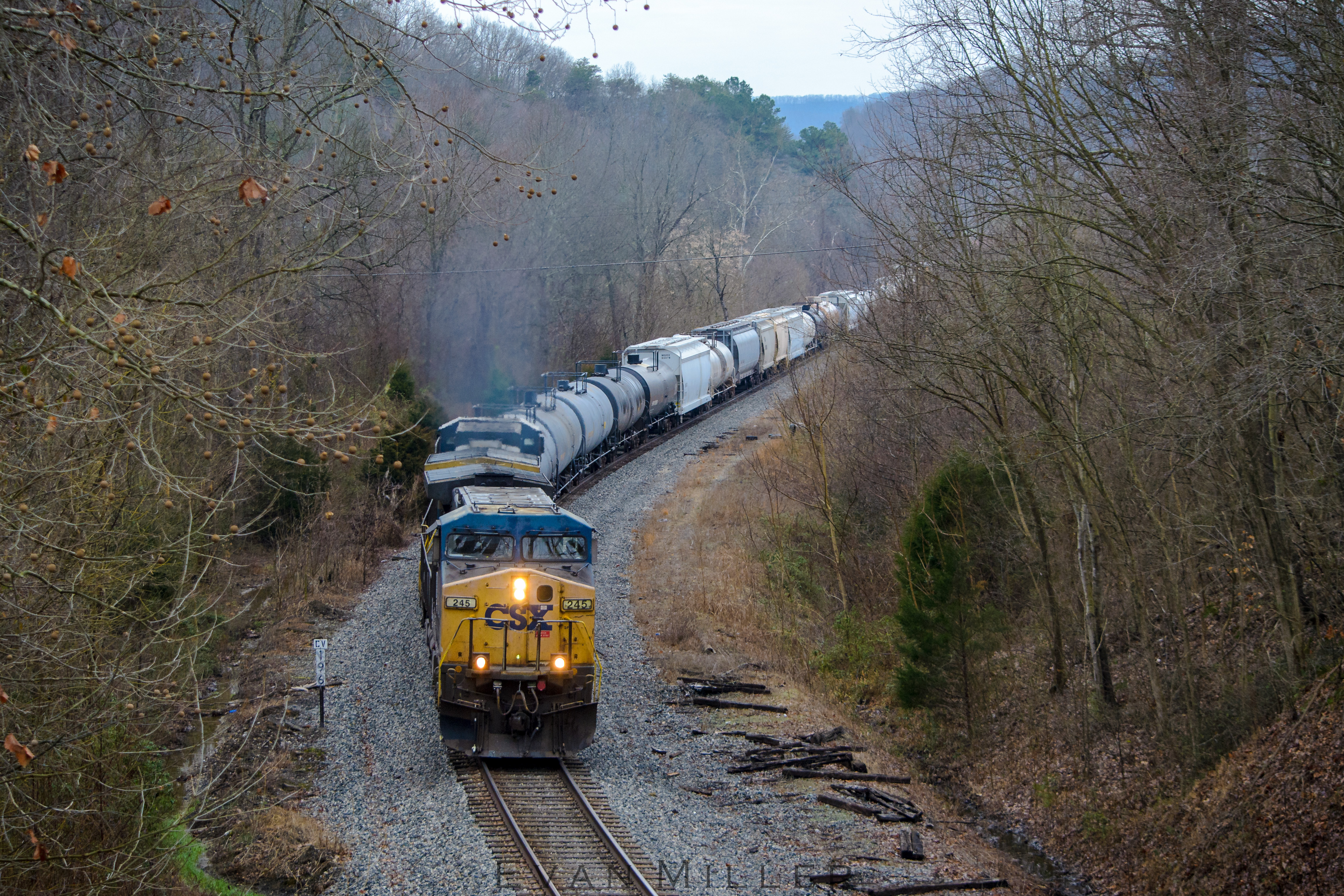
Flat Lick Freight

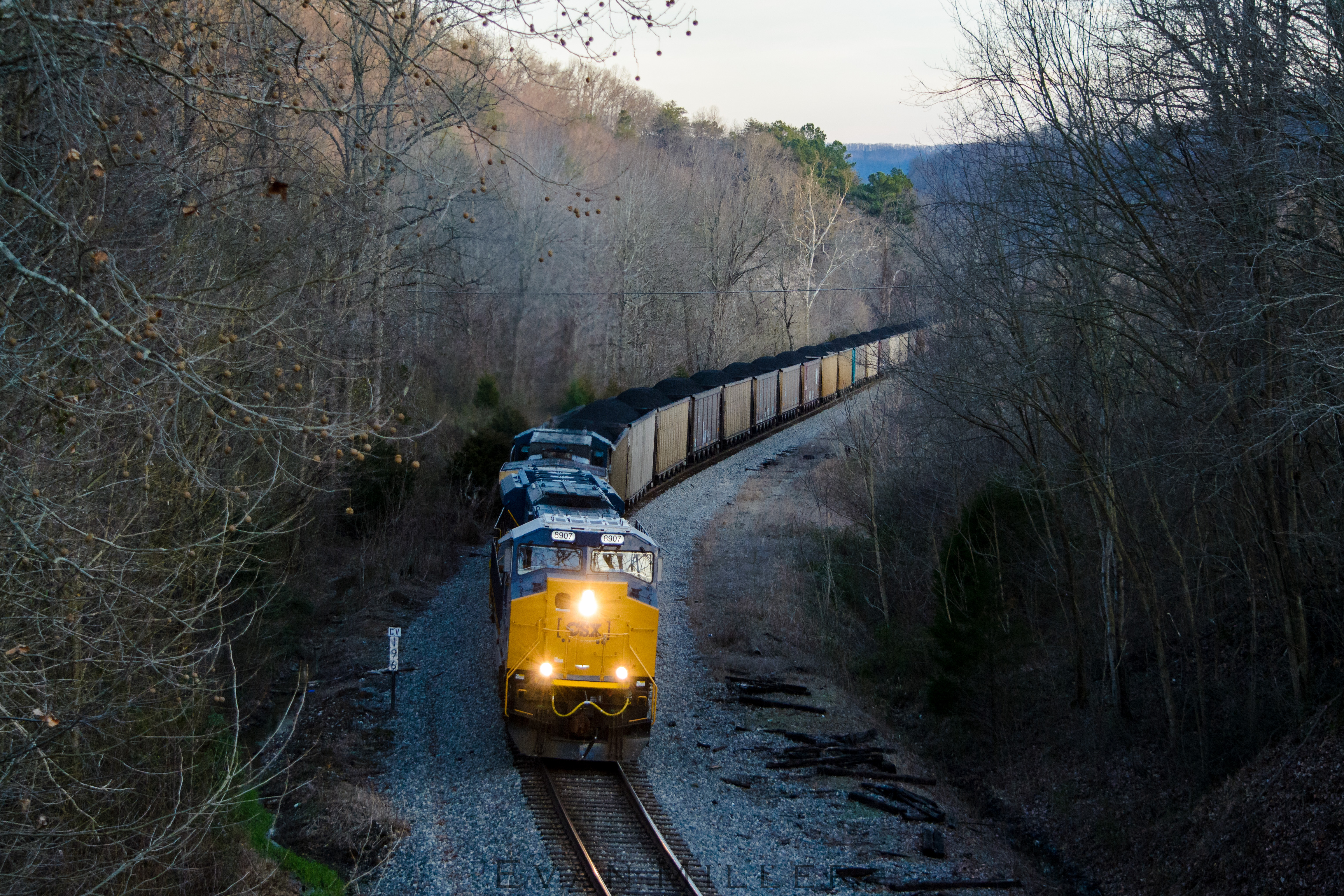
Fourmile Freight
Tier 4 at Flat Lick

Tier 4 at Fourmile

Tier 4 at Pineville

A fabulous tree on an empty lot

The other side of the same tree

Cumberland River from the bridge

Cumberland River looking downstream

A new house on top of the hill

Donna & Teresa by the flood wall

Water level gages -- about 1 month later this river rose to 40 ft (12 m) & the area experienced significant flooding due to heavy rainfall for several days

The gage under the bridge. The red dot is the flood level in February 2020.

Donna & Teresa walking along the top of the flood wall

Looking back at at the bridge. The red dot marks the height of the water during the last flood a few weeks ago.

Donna checking out one of the other gages

The flood wall makes a curve to follow Richland Creek which flows into the Cumberland River at this point

Cumberland River from the flood wall

Looking aross the river to Thompson Park
Topographic Map of Baker Rd, Barbourville, KY, USA
Find elevation by address:

Places near Baker Rd, Barbourville, KY, USA:
US-25E, Barbourville, KY, USA
Bimble
Artemus
KY-, Flat Lick, KY, USA
KY-11, Heidrick, KY, USA
Heidrick
High Street
Court Square, Barbourville, KY, USA
Barbourville
515 Manchester St
School Street
701 Trace Branch Rd
100 Beech St
Kayjay, KY, USA
Old Farm Rd, Cannon, KY, USA
82 Bays Ln
Flat Lick
State Hwy, Flat Lick, KY, USA
Lick Branch Road
Kay Jay Camp
Recent Searches:
- Elevation of Corso Fratelli Cairoli, 35, Macerata MC, Italy
- Elevation of Tallevast Rd, Sarasota, FL, USA
- Elevation of 4th St E, Sonoma, CA, USA
- Elevation of Black Hollow Rd, Pennsdale, PA, USA
- Elevation of Oakland Ave, Williamsport, PA, USA
- Elevation of Pedrógão Grande, Portugal
- Elevation of Klee Dr, Martinsburg, WV, USA
- Elevation of Via Roma, Pieranica CR, Italy
- Elevation of Tavkvetili Mountain, Georgia
- Elevation of Hartfords Bluff Cir, Mt Pleasant, SC, USA