Elevation of Gray, KY, USA
Location: United States > Kentucky >
Longitude: -84.008263
Latitude: 36.9425894
Elevation: 336m / 1102feet
Barometric Pressure: 97KPa
Elevation Map:
Satellite Map:
Related Photos:
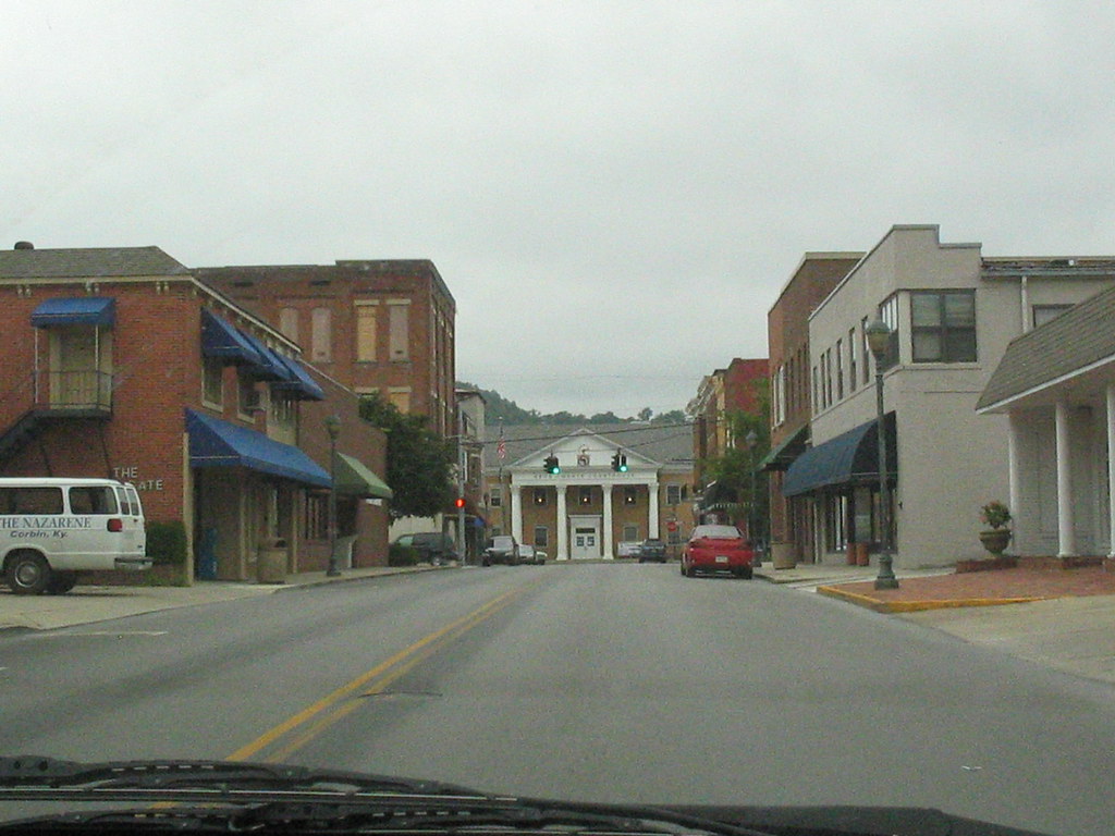
The View
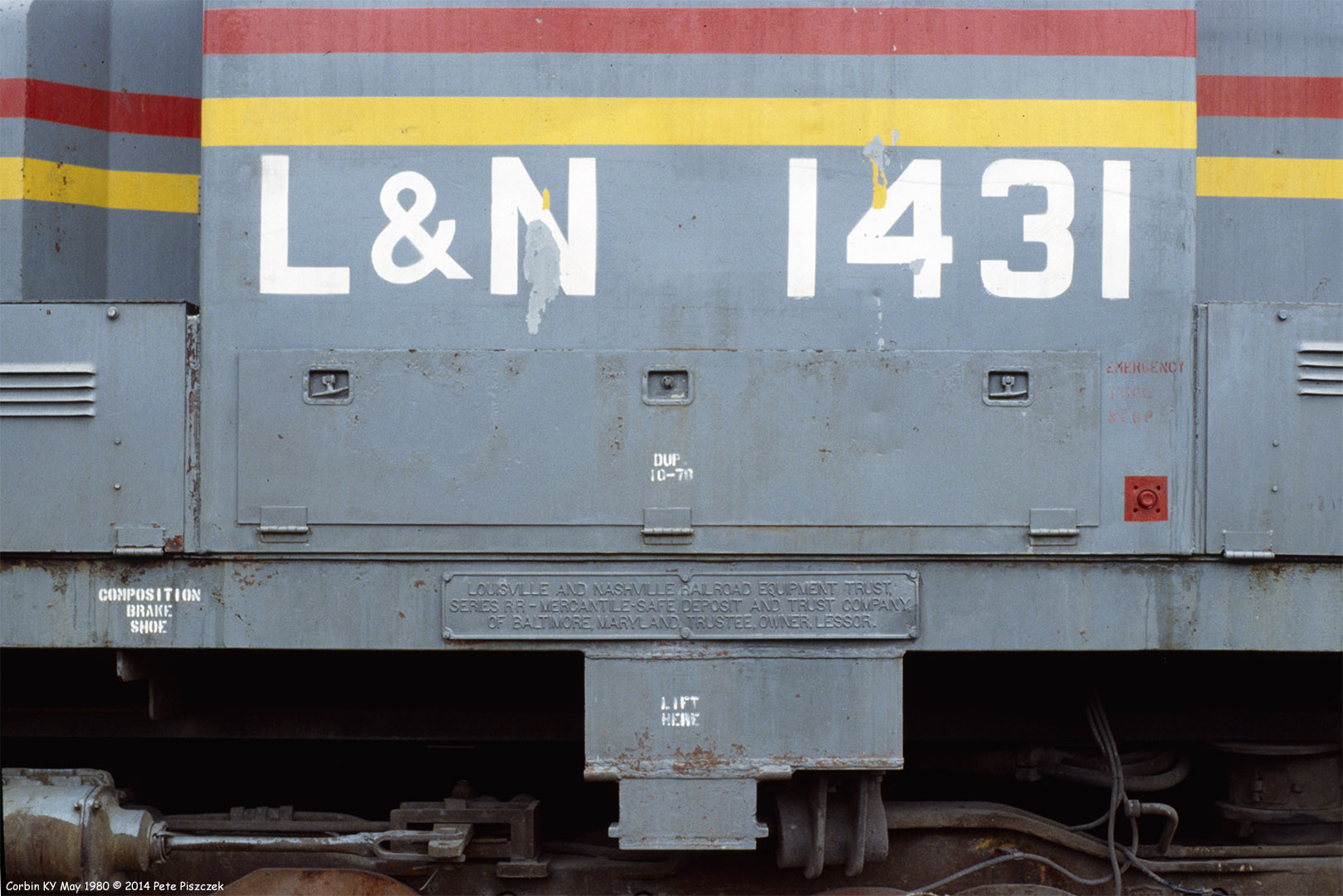
L&N 1431 Corbin KY May 1980
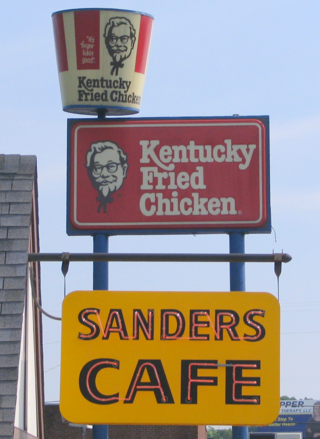
KFC signs: Old and New
Starting to Stick

Fog Break At The Pilot Travel Center

Indigo Bunting Bird 2nd View
The Knox County courthouse comes into view
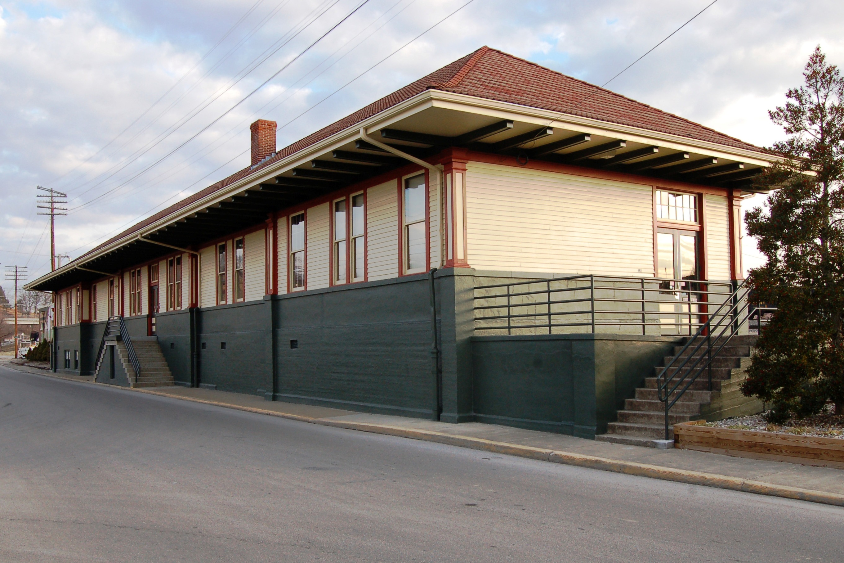
Louisville & Nashville Railroad, Kentucky, Corbin (3,454b)

dupont lodge
cut view feb 22 2007

Field - Corbin KY
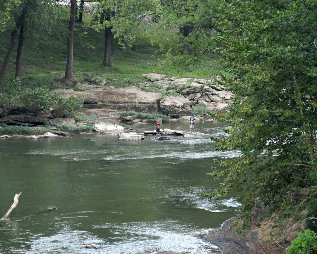
Kids off in the distance wading in the river
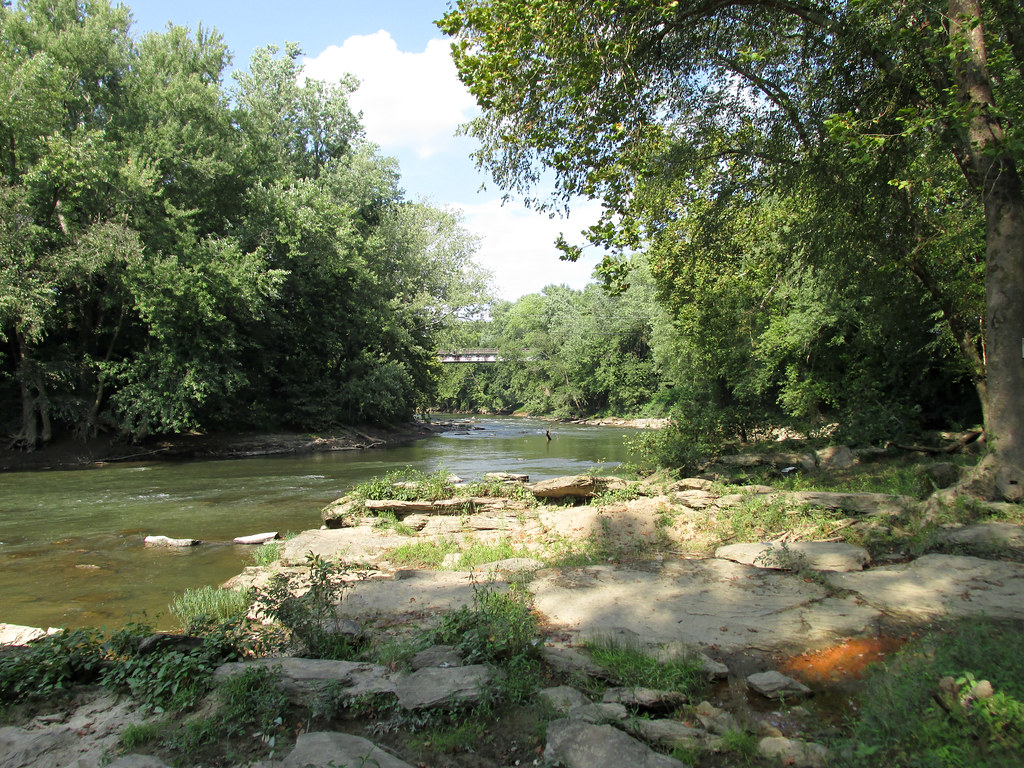
Down on the Cumberland River
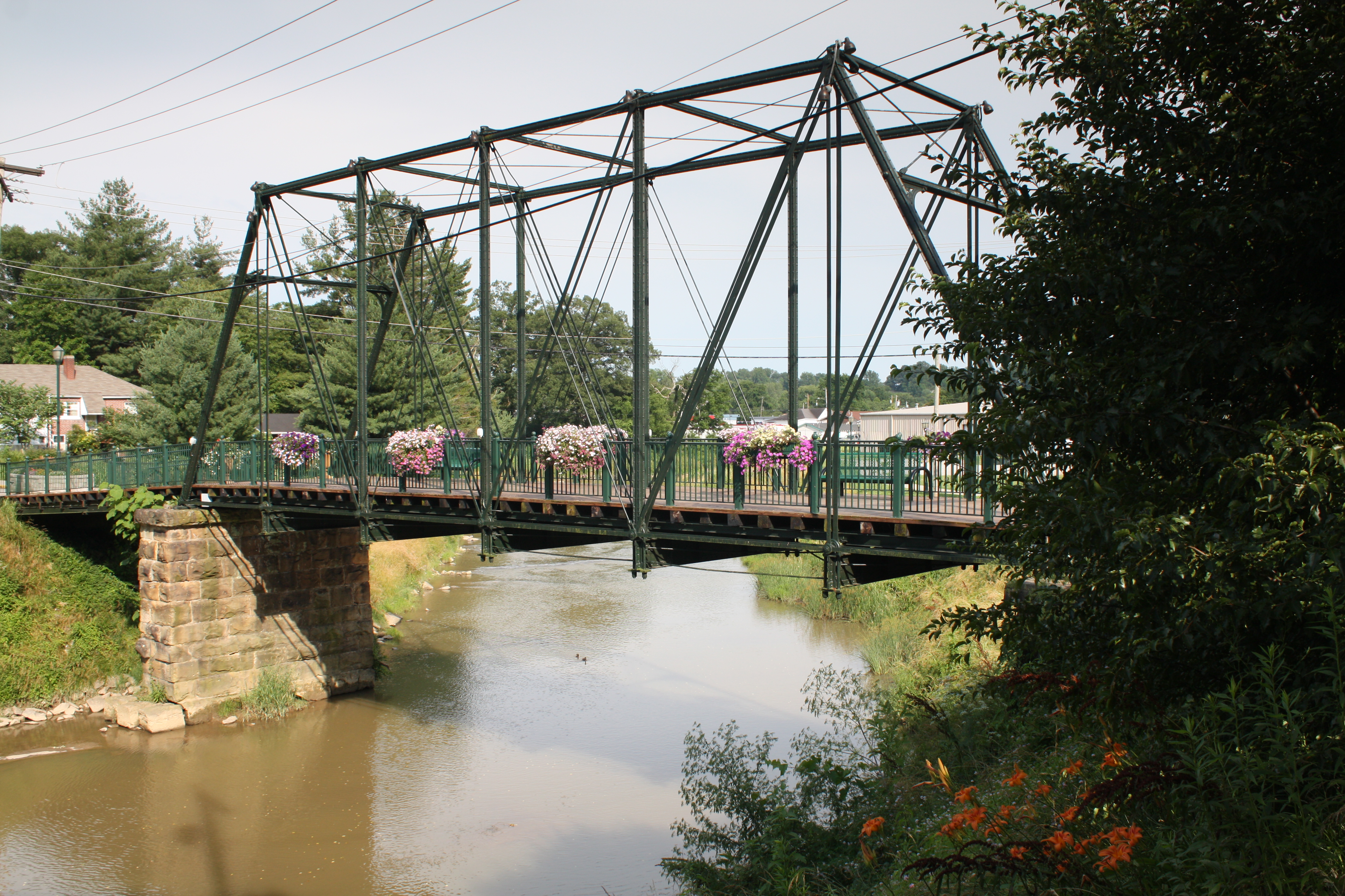
Engineer Street Bridge (Corbin, Kentucky)
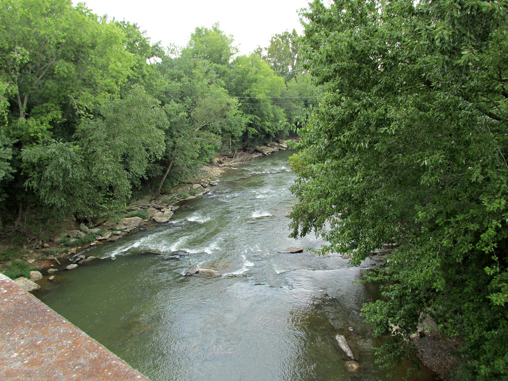
Cumberland River

© Forever Young Photography
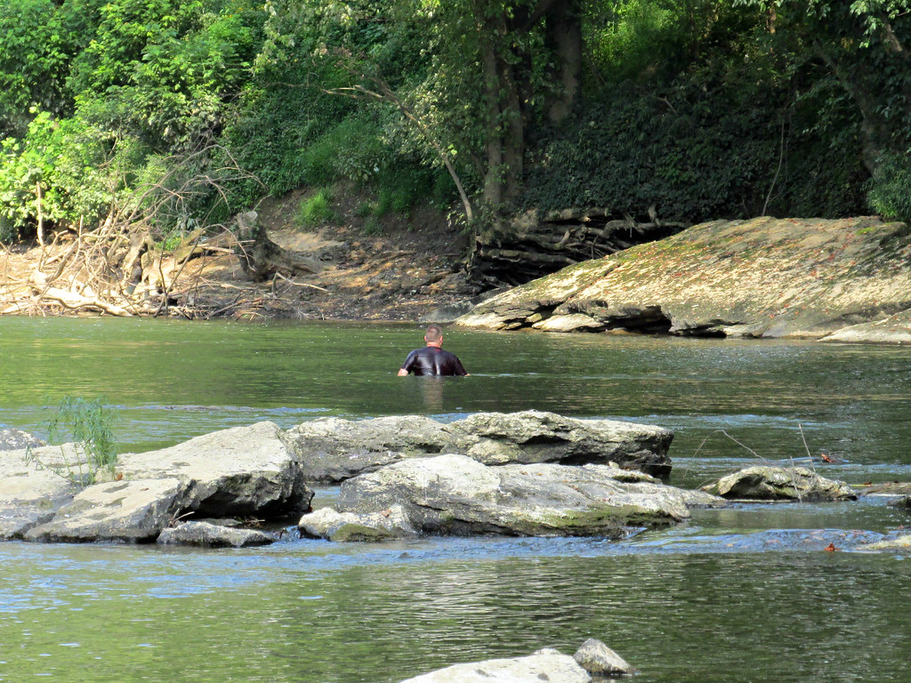
There are some deeper spots in the river
Topographic Map of Gray, KY, USA
Find elevation by address:

Places in Gray, KY, USA:
Places near Gray, KY, USA:
Farris Road
Campground Rd, Corbin, KY, USA
Hopkins Cemetery Rd, Lily, KY, USA
1002 Cardinal Dr
Dowis Chapel Road
307 W 9th St
Corbin
Woodbine
141 Bottom St
6330 Barbourville Rd
410 Laurel River Church Rd
Lily
Corbin / Laurel Lake Koa Journey
Knox County
Jarvis Branch Road
Kayjay, KY, USA
100 Beech St
74 Baker Rd
School Street
515 Manchester St
Recent Searches:
- Elevation of Corso Fratelli Cairoli, 35, Macerata MC, Italy
- Elevation of Tallevast Rd, Sarasota, FL, USA
- Elevation of 4th St E, Sonoma, CA, USA
- Elevation of Black Hollow Rd, Pennsdale, PA, USA
- Elevation of Oakland Ave, Williamsport, PA, USA
- Elevation of Pedrógão Grande, Portugal
- Elevation of Klee Dr, Martinsburg, WV, USA
- Elevation of Via Roma, Pieranica CR, Italy
- Elevation of Tavkvetili Mountain, Georgia
- Elevation of Hartfords Bluff Cir, Mt Pleasant, SC, USA