Elevation of W 9th St, Corbin, KY, USA
Location: United States > Kentucky > Knox County > Corbin >
Longitude: -84.096861
Latitude: 36.9401576
Elevation: 332m / 1089feet
Barometric Pressure: 97KPa
Elevation Map:
Satellite Map:
Related Photos:

KFC signs: Old and New

Indigo Bunting Bird 2nd View
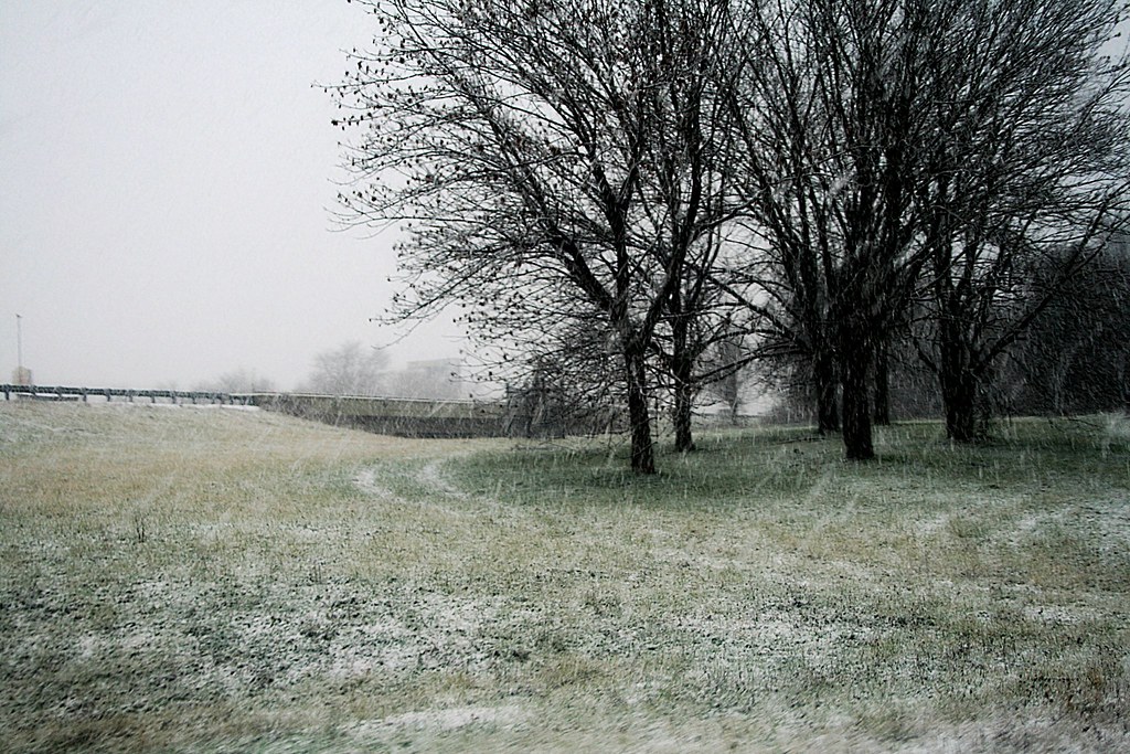
Starting to Stick
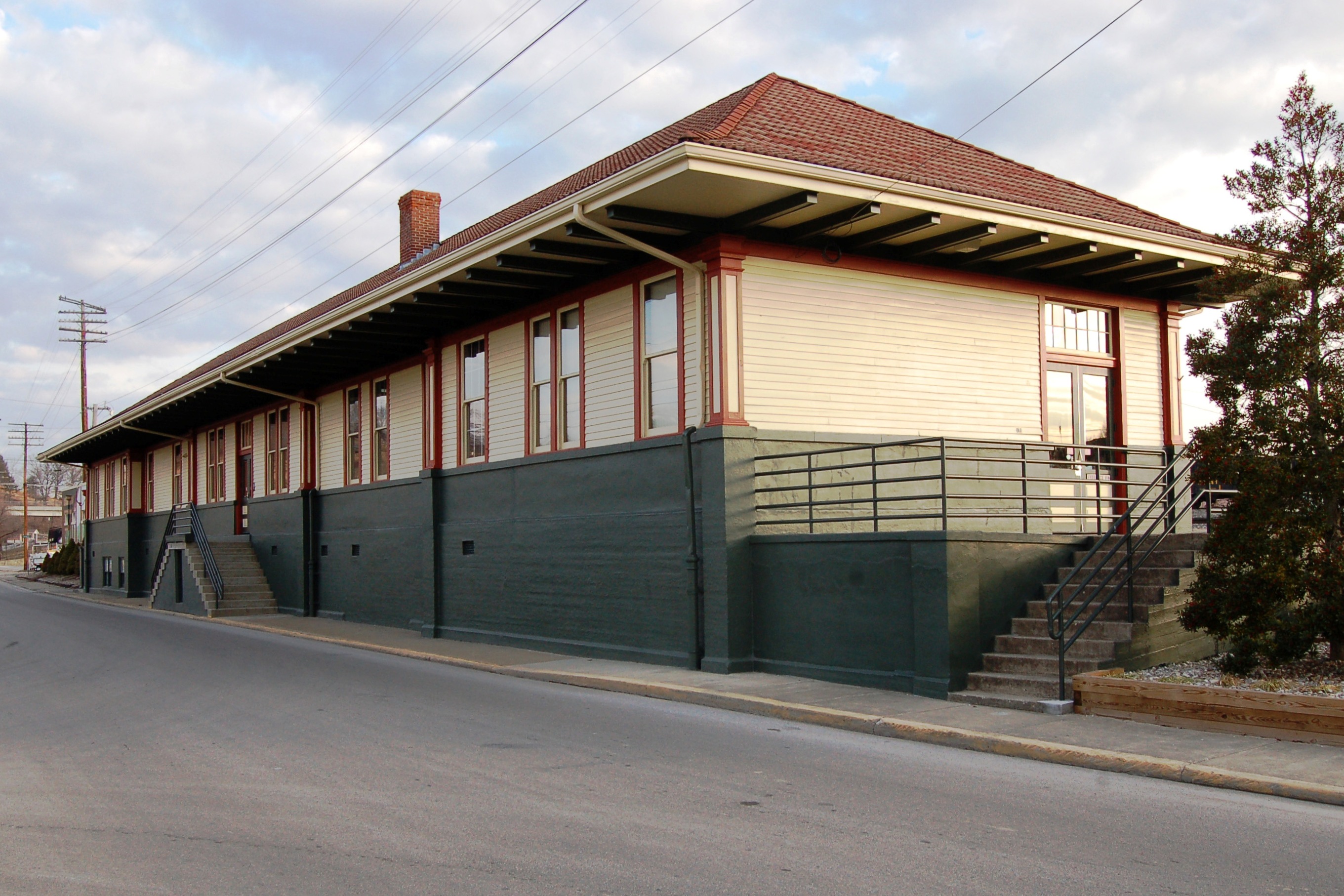
Louisville & Nashville Railroad, Kentucky, Corbin (3,454b)

dupont lodge

A VIEW FROM ABOVE...

Bark Camp Creek, Ky.

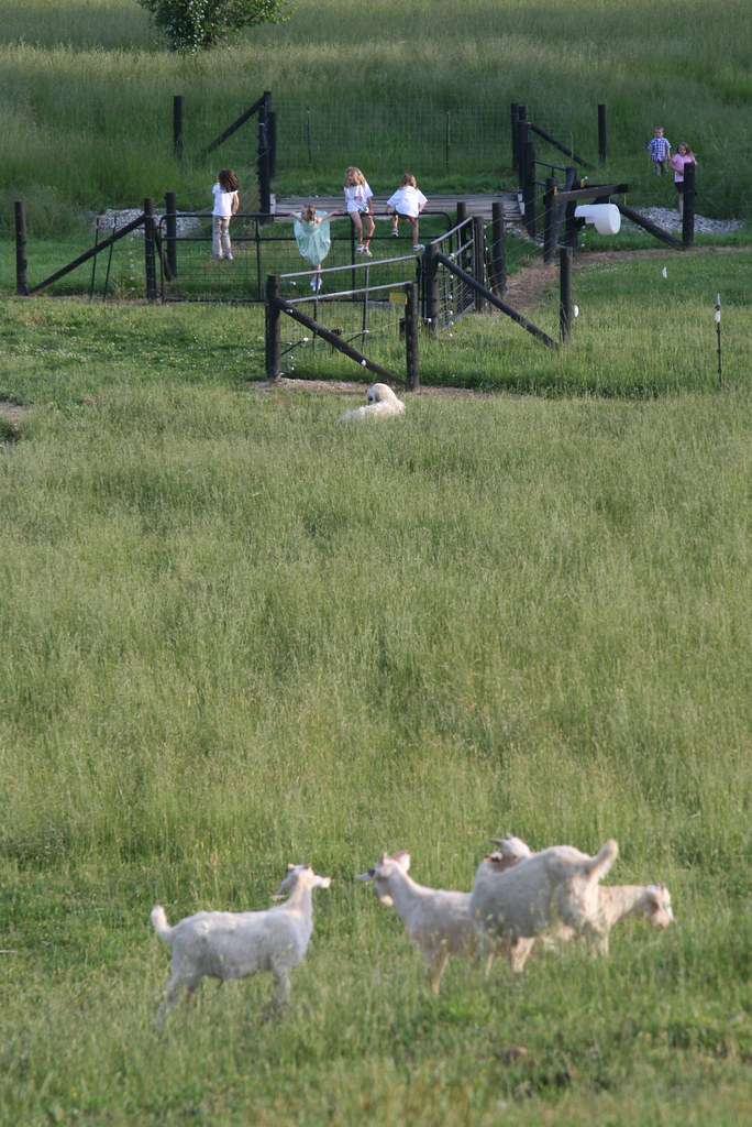
Field - Corbin KY
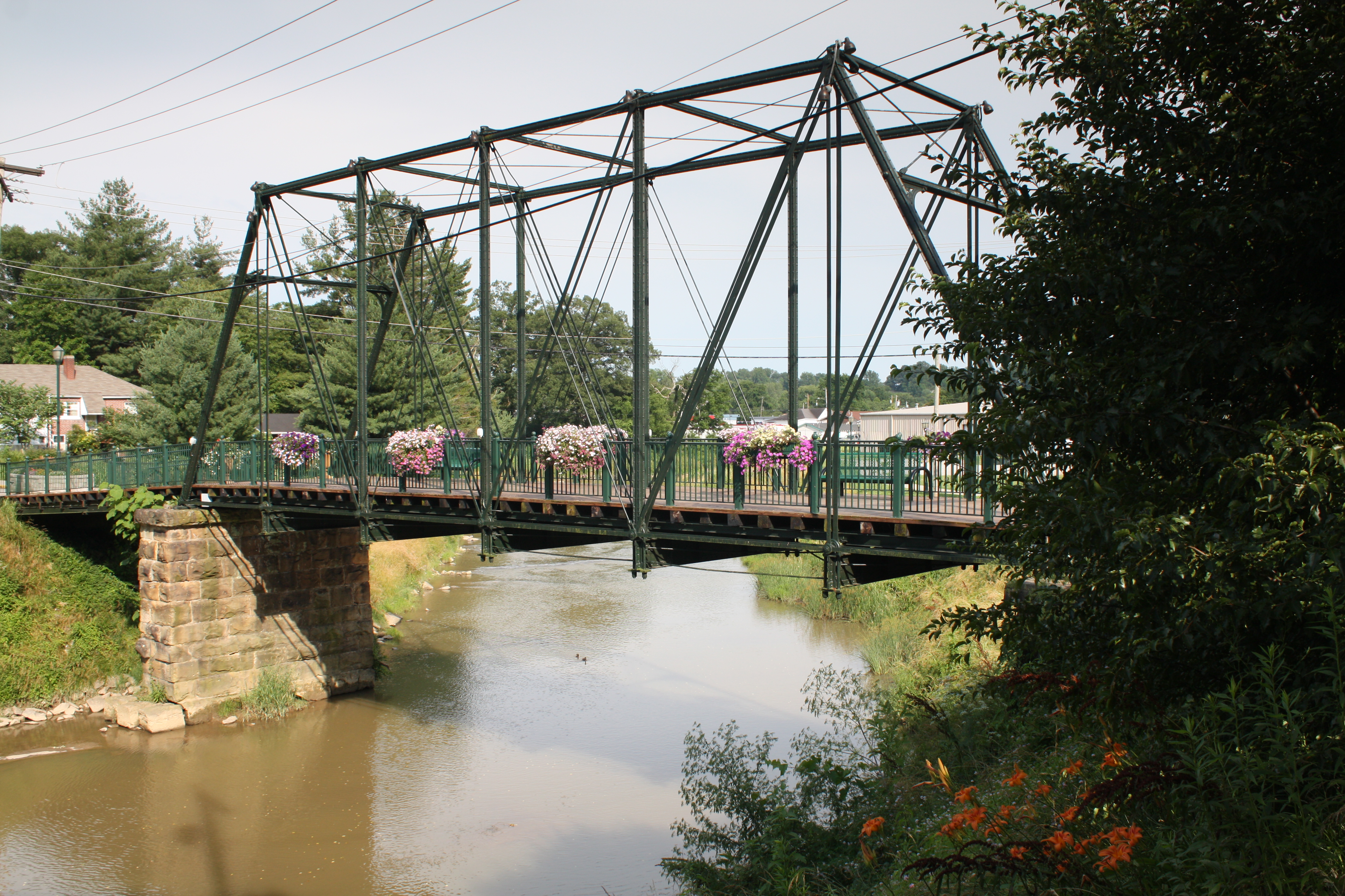
Engineer Street Bridge (Corbin, Kentucky)

© Forever Young Photography
Keleigh and Brian's Wedding
Topographic Map of W 9th St, Corbin, KY, USA
Find elevation by address:

Places near W 9th St, Corbin, KY, USA:
Corbin
1002 Cardinal Dr
Corbin / Laurel Lake Koa Journey
Campground Rd, Corbin, KY, USA
205 Riva Ridge Trail
Corbin, KY, USA
74 Baker Rd
3612 E State Hwy 552
Lily
Keavy
684 Pleasant View Rd
684 Pleasant View Rd
684 Pleasant View Rd
684 Pleasant View Rd
684 Pleasant View Rd
726 Pleasant View Rd
684 Pleasant View Rd
262 Cedar Point Dr
Laurel County
Recent Searches:
- Elevation of Corso Fratelli Cairoli, 35, Macerata MC, Italy
- Elevation of Tallevast Rd, Sarasota, FL, USA
- Elevation of 4th St E, Sonoma, CA, USA
- Elevation of Black Hollow Rd, Pennsdale, PA, USA
- Elevation of Oakland Ave, Williamsport, PA, USA
- Elevation of Pedrógão Grande, Portugal
- Elevation of Klee Dr, Martinsburg, WV, USA
- Elevation of Via Roma, Pieranica CR, Italy
- Elevation of Tavkvetili Mountain, Georgia
- Elevation of Hartfords Bluff Cir, Mt Pleasant, SC, USA