Elevation of E State Hwy, Keavy, KY, USA

Location: United States > Kentucky > Laurel County > Keavy >

Longitude: -84.130576

Latitude: 37.0198481

Elevation: 355m / 1165feet

Barometric Pressure: 97KPa

Elevation Map:

elevation map of E State Hwy, Keavy, KY, USA

Satellite Map:

Satellite map of E State Hwy, Keavy, KY, USA

Related Photos:

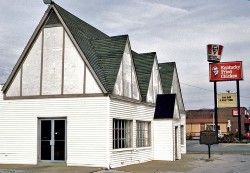
corbinky kentuckyfriedchicken sanderscafe 11121988
1940 Sanders cafe @ Corbin, KY (1988)
sign restaurant bucket neon kentucky kfc friedchicken corbin sanderscafe us25 us25w harlansanders bmok bmokneon
KFC signs: Old and New
piszczek
L&N 1431 Corbin KY May 1980
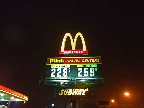
nightphotography signs fog night subway geotagged nightlights diesel bluegrass streetlights kentucky roadtrip reststop mcdonalds gasstation grainy gasprices i75 pilot halos takingabreak goldenarches unleaded drivingatnight foggynight travelcenter i75south bluegrassstate corbinkentucky weatherphotography southeasternkentucky pilottravelcenters geo:lat=36918041 geo:lon=84127223 offi75 foggytravel nightroadtrip
Fog Break At The Pilot Travel Center
railroad station kentucky depot nationalregisterofhistoricplaces whitleycounty louisvillenashvillerr
Louisville & Nashville Railroad, Kentucky, Corbin (3,454b)
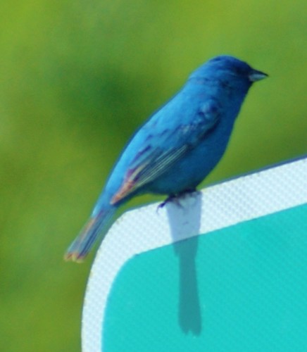
nature birds indigobluebuntingbird
Indigo Bunting Bird 2nd View
london kentucky unitedstates us
View of Sinking Creek foot bridge
road trees snow storm geotagged kentucky snowstorm winterstorm easternkentucky i75south corbinkentucky southeasternkentucky corbinexit geo:lat=36977821 geo:lon=84111335
Starting to Stick
panorama canoncamera
A VIEW FROM ABOVE...
reunions sweethollow corbin ky kentucky distanthouses
The trees have grown very tall since I last took a picture of this view
20170115 danielboonenationalforerst vanhookfalls imgp00272p1edited1
Second waterfall on Pounder Branch
levijacksonstatepark kentucky sunset hay bales field trees landscape canoneos5dmarkiii canonef2470mmf28lusm yextkentucky wallpaper background
Everything Will Return
20170115 danielboonenationalforerst vanhookfalls imgp01272pedited1
Van Hook Falls in its environment.
20170115 danielboonenationalforerst vanhookfalls imgp01182pedited1
Van Hook Falls.
20170115 danielboonenationalforerst vanhookfalls imgp00412pedited1
Third waterfall on Pounder Branch
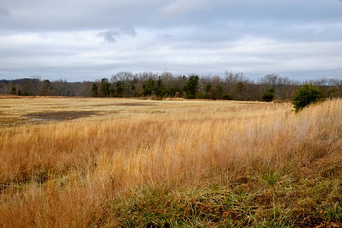
xmasweek fujinonxf1855mmf284rlmois fujifilmxe2
Field - Corbin KY
kentucky corbin historicbridge nationalregisterofhistoricplaces whitleycounty trussbridge nrhp knoxcounty throughtruss thrutruss pratttruss phoenixironcompany prattthroughtruss phoenixcolumns engineerstreetbridge eastmainstreetbridge lynncampcreek
Engineer Street Bridge (Corbin, Kentucky)
kentucky urbanlandscape olympusomdem5 olympusmzuiko1240mmf28
The Cup
kentucky urbanlandscape olympusomdem5 olympusmzuiko1240mmf28
For Rent
alley kentucky urbanlandscape olympusomdem5 olympusmzuiko1240mmf28
A Kentucky Alley
kentucky urbanlandscape olympusomdem5 olympusmzuiko1240mmf28
Red & Green
creek waterfalls
Bark Camp Creek, Ky.
lines kentucky urbanlandscape olympusomdem5 olympusmzuiko1240mmf28
Lines & Steps
uk vacation england unitedkingdom 2011
2011-09-26 at 05-23-56
park uk vacation england london unitedkingdom hyde serpentine the 2011
2011-09-25 at 10-02-54
park uk vacation england unitedkingdom hyde serpentine the 2011
2011-09-25 at 10-04-50
trees tennessee rivers gorges greatoutdoors bigsouthfork southforkofthecumberland
Big South Fork River gorge
levijacksonmill
Flowing waters
uk vacation england london night landscape evening unitedkingdom circus piccadilly 2011
2011-09-24 at 15-19-12