Elevation of Cedar Point Dr, London, KY, USA
Location: United States > Kentucky > Laurel County > London >
Longitude: -84.149564
Latitude: 37.0791543
Elevation: 358m / 1175feet
Barometric Pressure: 97KPa
Elevation Map:
Satellite Map:
Related Photos:

KFC signs: Old and New

L&N 1431 Corbin KY May 1980

Leaf on Stones

1940 Sanders cafe @ Corbin, KY (1988)

Louisville & Nashville Railroad, Kentucky, Corbin (3,454b)
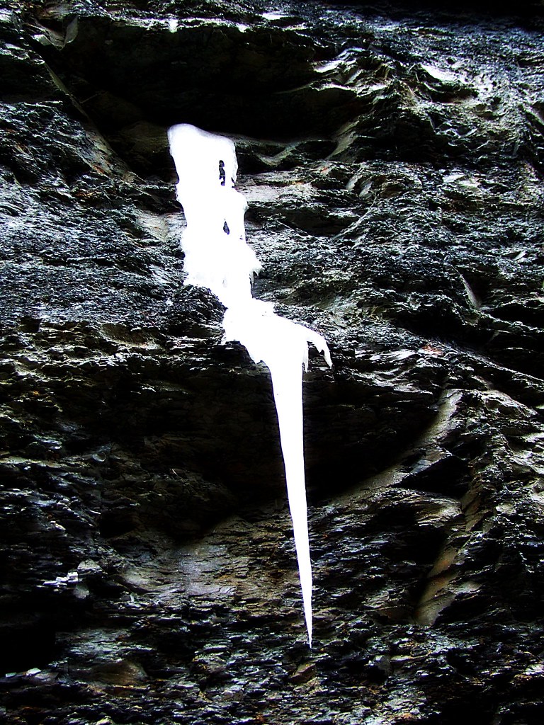
Flowing Ice..on the Side of the Highway

Indigo Bunting Bird 2nd View

View of Sinking Creek foot bridge
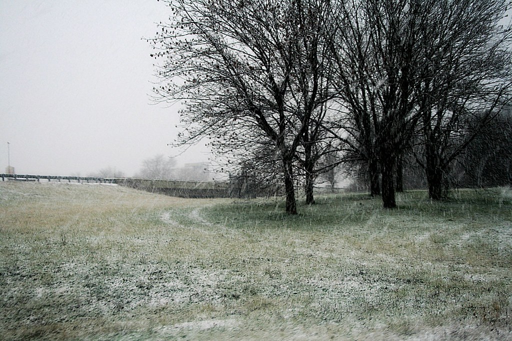
Starting to Stick

A VIEW FROM ABOVE...
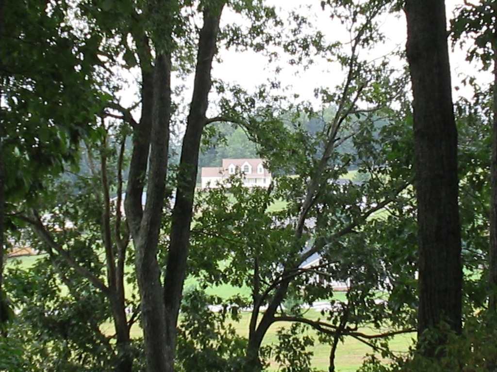
The trees have grown very tall since I last took a picture of this view

Van Hook Falls in its environment.

Everything Will Return
Second waterfall on Pounder Branch

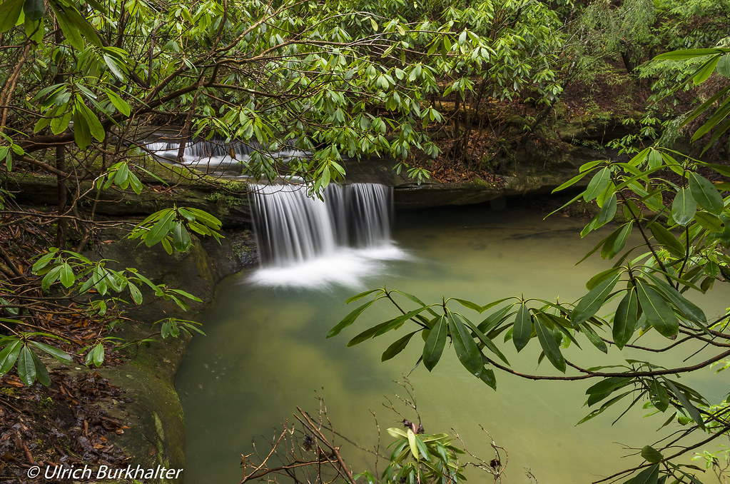
Van Hook Falls.

Third waterfall on Pounder Branch

Field - Corbin KY
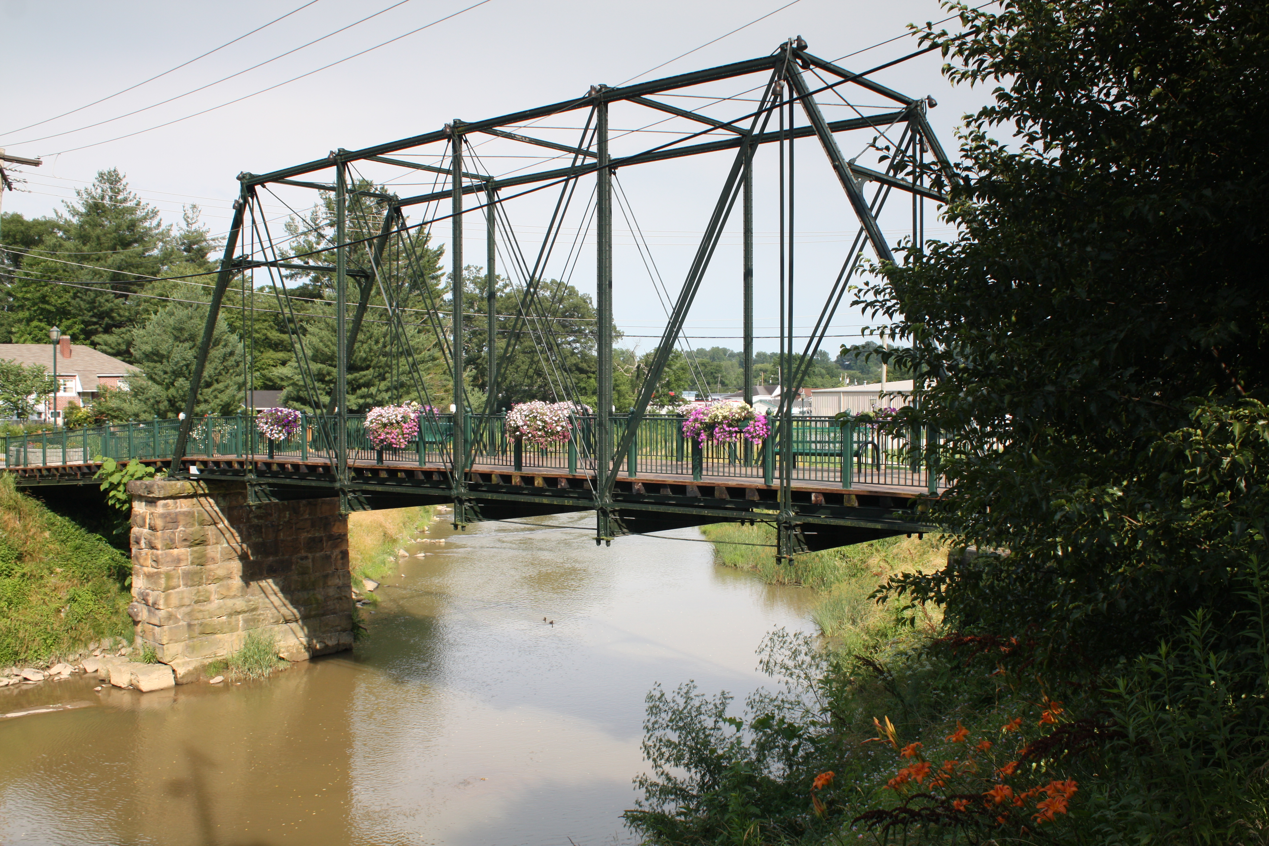
Engineer Street Bridge (Corbin, Kentucky)

The Cup

For Rent

A Kentucky Alley

Red & Green

Lines & Steps

2011-09-26 at 05-23-56

2011-09-25 at 10-02-54

2011-09-25 at 10-04-50

Big South Fork River gorge

Flowing waters

2011-09-24 at 15-19-12

Mountains in Kentucky
Topographic Map of Cedar Point Dr, London, KY, USA
Find elevation by address:

Places near Cedar Point Dr, London, KY, USA:
684 Pleasant View Rd
684 Pleasant View Rd
684 Pleasant View Rd
684 Pleasant View Rd
726 Pleasant View Rd
684 Pleasant View Rd
684 Pleasant View Rd
Laurel County
3612 E State Hwy 552
74 Baker Rd
Keavy
Lily
Corbin / Laurel Lake Koa Journey
1002 Cardinal Dr
Campground Rd, Corbin, KY, USA
Corbin
307 W 9th St
205 Riva Ridge Trail
Corbin, KY, USA
Recent Searches:
- Elevation of Corso Fratelli Cairoli, 35, Macerata MC, Italy
- Elevation of Tallevast Rd, Sarasota, FL, USA
- Elevation of 4th St E, Sonoma, CA, USA
- Elevation of Black Hollow Rd, Pennsdale, PA, USA
- Elevation of Oakland Ave, Williamsport, PA, USA
- Elevation of Pedrógão Grande, Portugal
- Elevation of Klee Dr, Martinsburg, WV, USA
- Elevation of Via Roma, Pieranica CR, Italy
- Elevation of Tavkvetili Mountain, Georgia
- Elevation of Hartfords Bluff Cir, Mt Pleasant, SC, USA