Elevation of London, KY, USA
Location: United States > Kentucky > Laurel County >
Longitude: -84.083264
Latitude: 37.1289771
Elevation: 379m / 1243feet
Barometric Pressure: 97KPa
Elevation Map:
Satellite Map:
Related Photos:

Indigo Bunting Bird 2nd View

© Forever Young Photography

Everything Will Return
IMG_8854.JPG
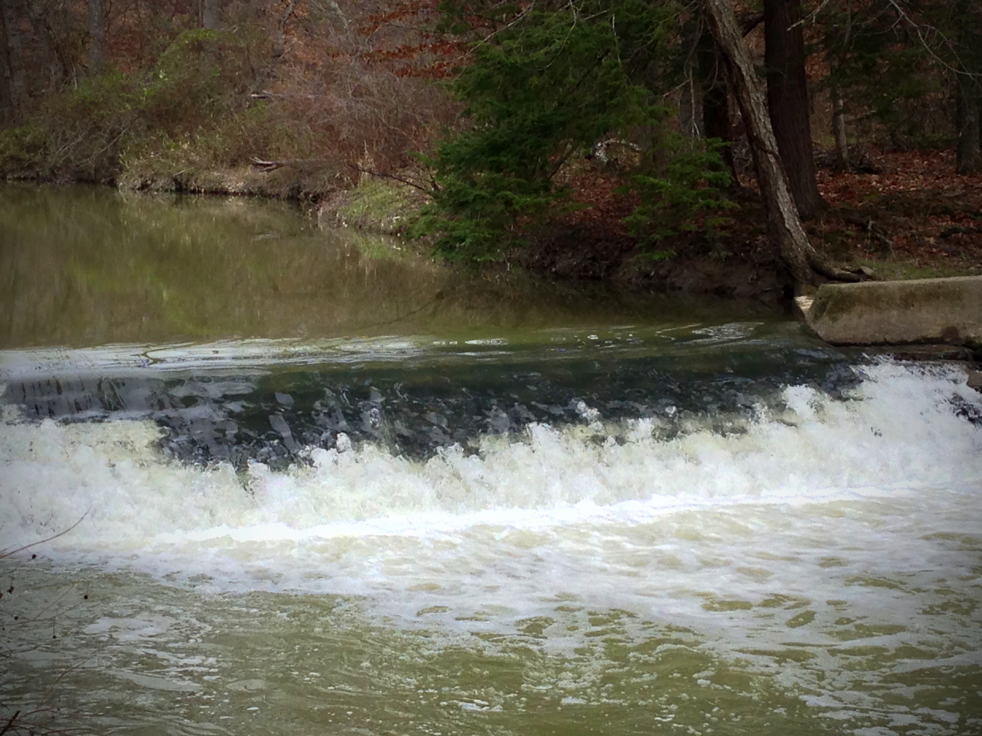
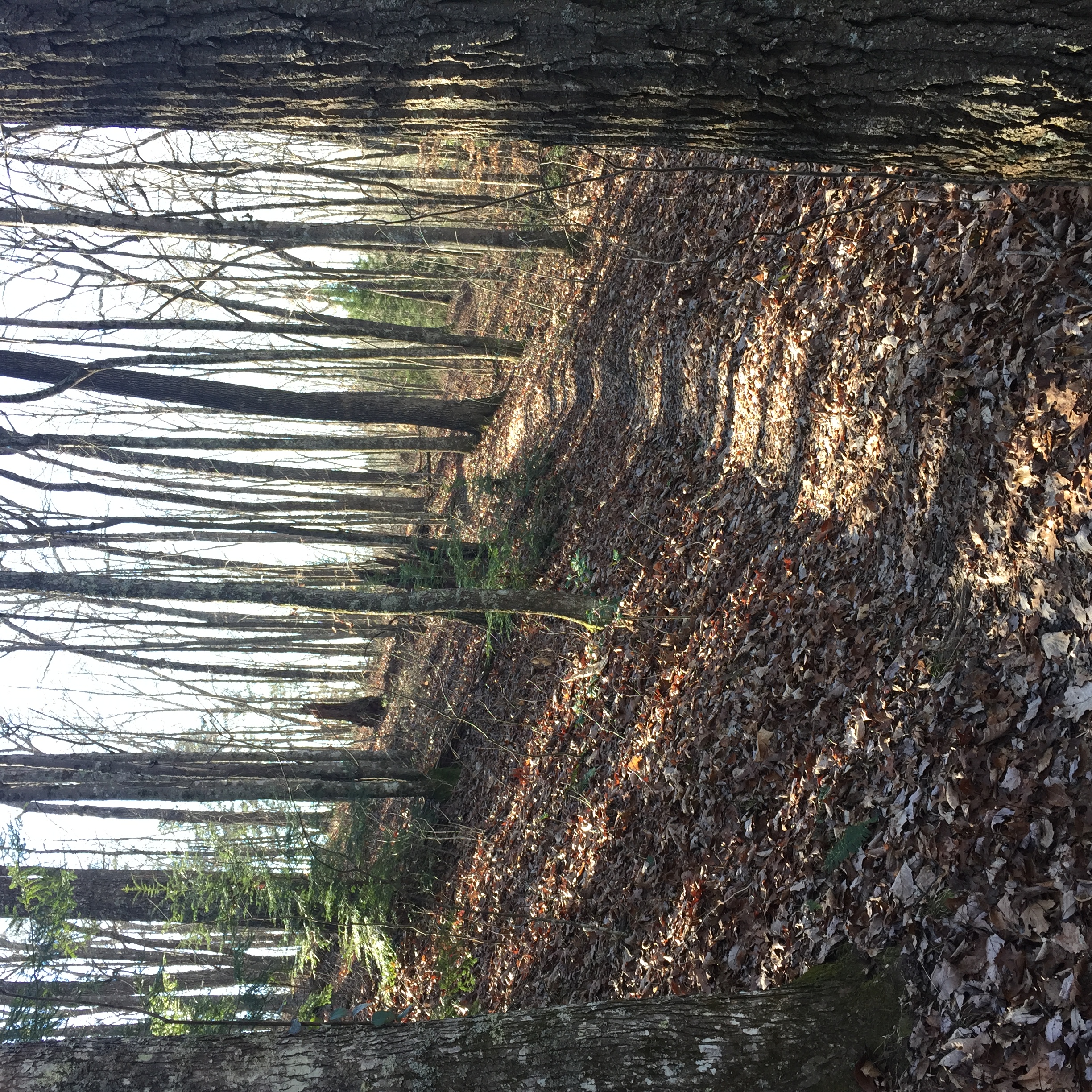
Flowing waters
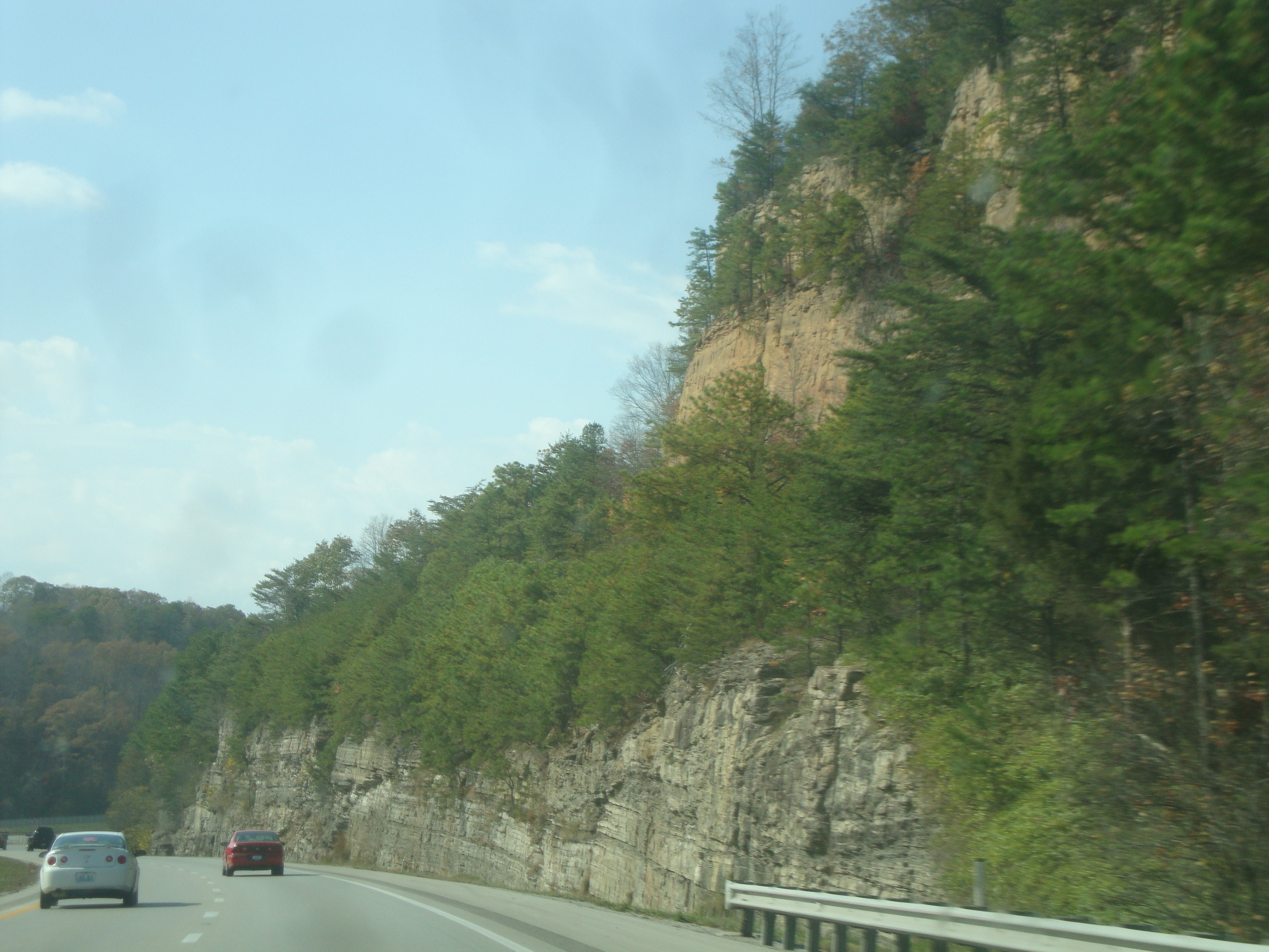
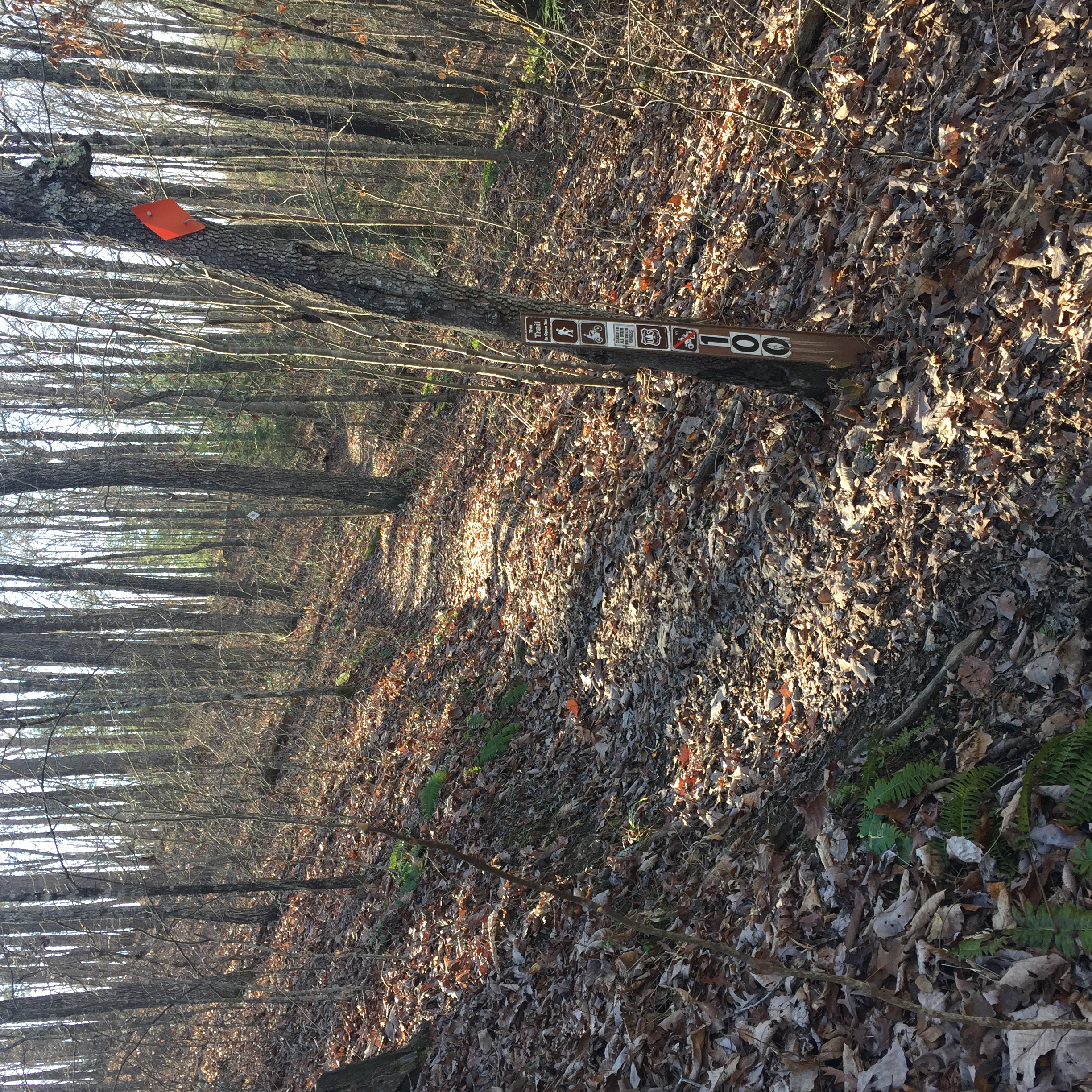
Mountains in Kentucky
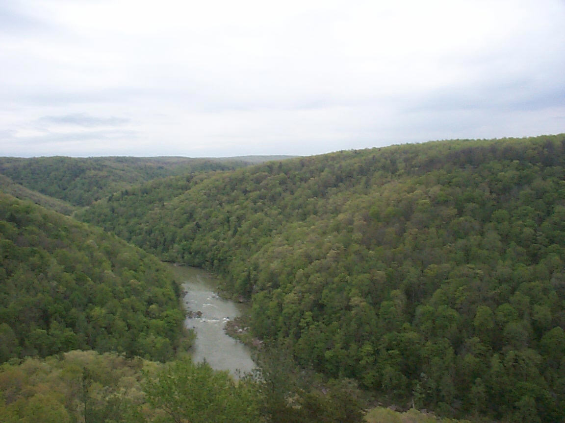
Big South Fork River gorge
IMG_8852.JPG
2011-09-26 at 05-05-58

The Cup
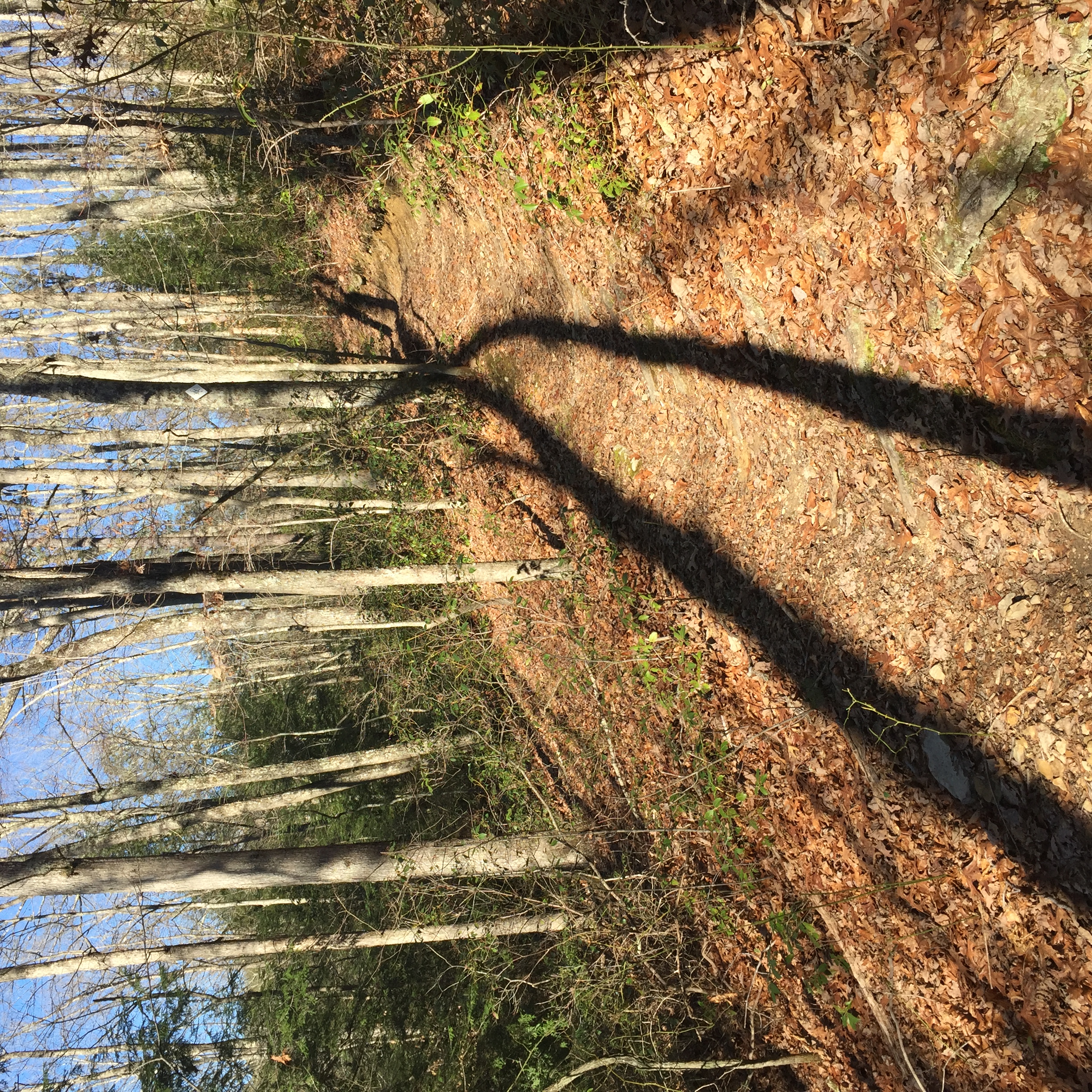
Lines & Steps
2011-09-26 at 05-23-56

For Rent

Red & Green
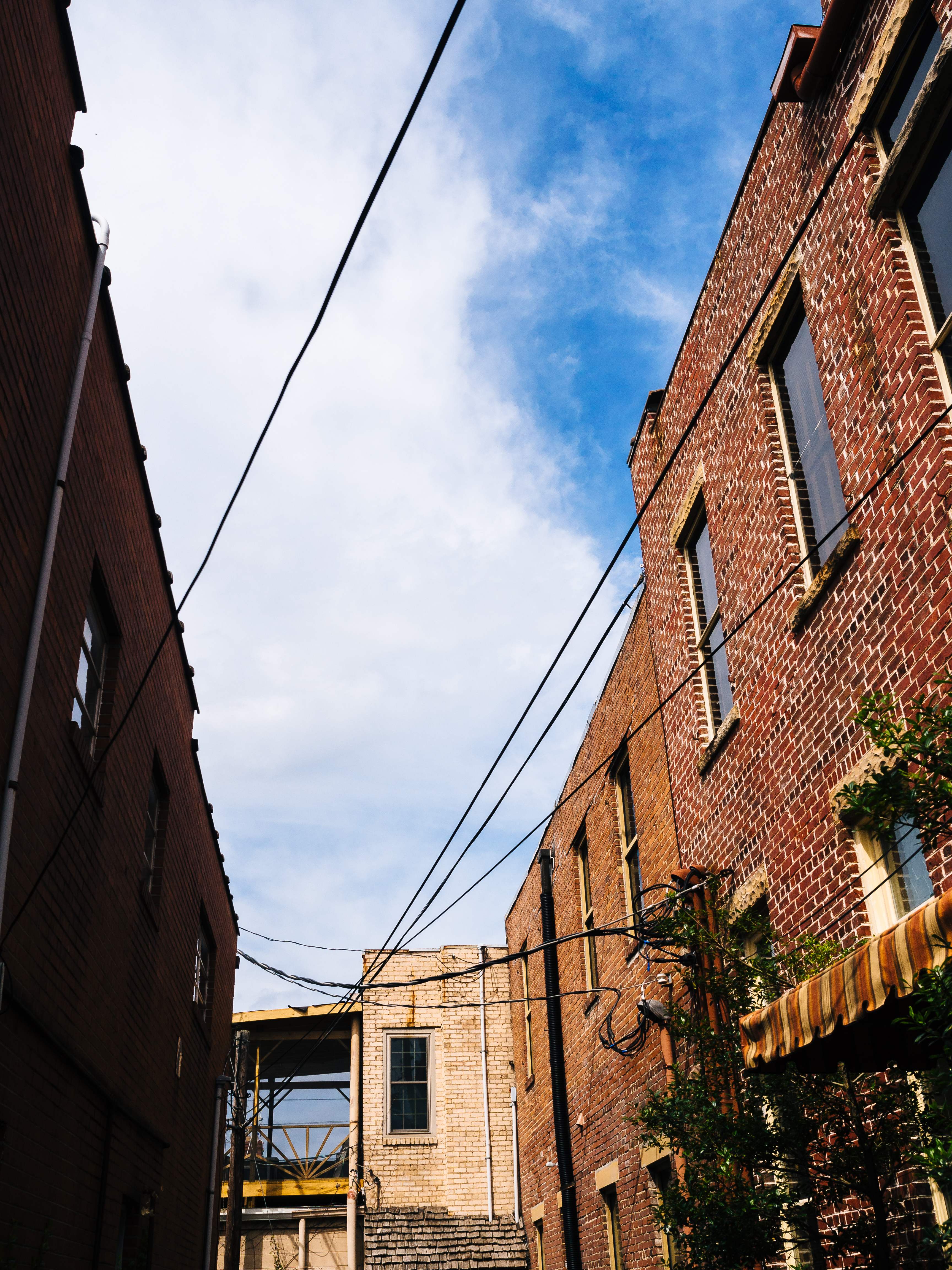
A Kentucky Alley
IMG_8856.JPG
IMG_8851.JPG
2011-09-25 at 10-04-50
2011-09-25 at 10-02-54
2011-09-24 at 15-19-12
Topographic Map of London, KY, USA
Find elevation by address:

Places in London, KY, USA:
Places near London, KY, USA:
S Main St, London, KY, USA
220 E Dixie St
Forest Street
45 Lincoln Rd
658 Mitchell Creek Rd
1354 Mcwhorter Rd
450 Aspen Dr
580 Woods Edge Dr
796 Glenview Rd
East Bernstadt
684 Pleasant View Rd
684 Pleasant View Rd
684 Pleasant View Rd
684 Pleasant View Rd
684 Pleasant View Rd
726 Pleasant View Rd
684 Pleasant View Rd
3702 Cabin Creek Rd
262 Cedar Point Dr
1486 Dean Hundley Rd
Recent Searches:
- Elevation of Corso Fratelli Cairoli, 35, Macerata MC, Italy
- Elevation of Tallevast Rd, Sarasota, FL, USA
- Elevation of 4th St E, Sonoma, CA, USA
- Elevation of Black Hollow Rd, Pennsdale, PA, USA
- Elevation of Oakland Ave, Williamsport, PA, USA
- Elevation of Pedrógão Grande, Portugal
- Elevation of Klee Dr, Martinsburg, WV, USA
- Elevation of Via Roma, Pieranica CR, Italy
- Elevation of Tavkvetili Mountain, Georgia
- Elevation of Hartfords Bluff Cir, Mt Pleasant, SC, USA