![pakistantour](https://live.staticflickr.com/7505/15904699631_0c1682fc41.jpg)
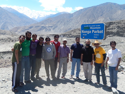
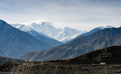
Nanga Parbar View Point
![pakistan sky snow mountains ice clouds landscape location elements tele bunji summits astore gilgitbaltistan](https://live.staticflickr.com/1682/25571037450_8a261bd460.jpg)
Chongra Peak (6830m)
![pakistan sky mountains ice clouds canon landscape geotagged rocks wide tags location elements kkh tamron cloudscapes gilgit summits diamer gilgitbaltistan canoneos650d imranshah gilgit2 tamronsp1750mmf28dillvc](https://live.staticflickr.com/263/19549179303_d334a62820.jpg)
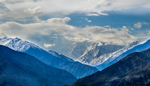
Nanga Parbat Peak
![](https://live.staticflickr.com/5647/29908787943_4652fb534e.jpg)
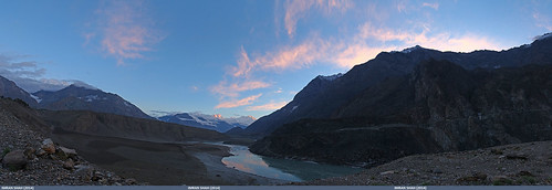
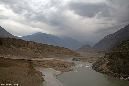
The Indus.
![trees pakistan sky snow mountains ice clouds landscape location elements vegetation greenery tele bunji summits astore gilgitbaltistan](https://live.staticflickr.com/1507/25750818822_50c0b3aaa3.jpg)
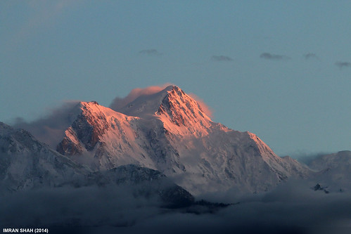
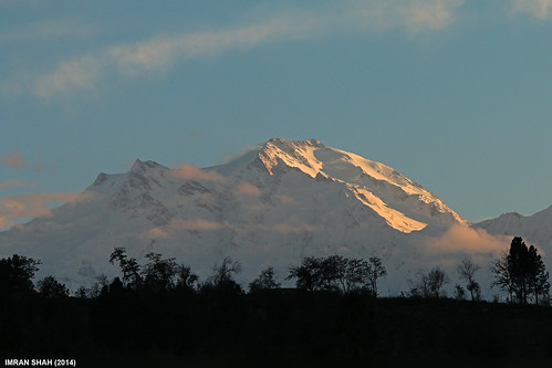
Nanga Parbat (8126m)
![greaterkashmir northernareas jaglot gilgitbaltistan pakistan pak パキスタン 巴基斯坦 пакистан پاکستان](https://live.staticflickr.com/7827/47327923181_85837dc557.jpg)
Nanga Parbat
![hunza nangaparbat killermountain hunzavalleypakistan](https://live.staticflickr.com/331/19699868379_e6894db4d5.jpg)
Nanga Parbat
![greaterkashmir northernareas partabpul gilgitbaltistan pakistan pak パキスタン 巴基斯坦 пакистан پاکستان](https://live.staticflickr.com/7876/32383671307_615051112a.jpg)
Brdige across the Indus
![road pakistan sky panorama snow mountains ice water clouds canon river landscape geotagged rocks wide structures tags location elements tamron cloudscapes bunji summits astore gilgitbaltistan canoneos650d imranshah gilgit2 tamronsp1750mmf28dillvc](https://live.staticflickr.com/373/20485839741_cc82b6d673.jpg)
Mighty Nanga Parbat
![pakistan sky mountains water clouds canon river landscape geotagged wide tags location elements tamron bunji astore gilgitbaltistan canoneos650d imranshah gilgit2 tamronsp1750mmf28dillvc](https://live.staticflickr.com/547/19530868822_6354132d84.jpg)
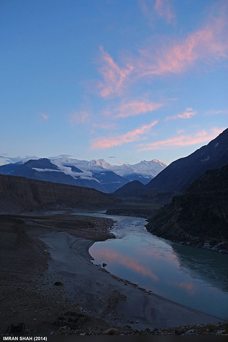
Indus River
![karakoram himalayas indus gilgit hindukush jaglot highestmountainranges](https://live.staticflickr.com/782/22141519471_108175f90b.jpg)
Three highest mountain ranges
![pakistan geotagged cycling karakoram himalaya radtour indusriver karakoramhighway gilgitbaltistan cyclingkarakoramhigway2012 geo:lat=3573672637414315 geo:lon=7462224209033637](https://live.staticflickr.com/8497/8353328696_37c4c72080.jpg)
Confluence of Indus and Gilgit river
![pakistan sky snow mountains ice water clouds canon river landscape geotagged wide tags location elements tamron cloudscapes bunji astore gilgitbaltistan canoneos650d imranshah gilgit2 tamronsp1750mmf28dillvc](https://live.staticflickr.com/323/19541804311_db724f02ee.jpg)
Nanga Parbat and Indus River
![pakistan kkh](https://live.staticflickr.com/5546/10067924663_9c41e59ac4.jpg)
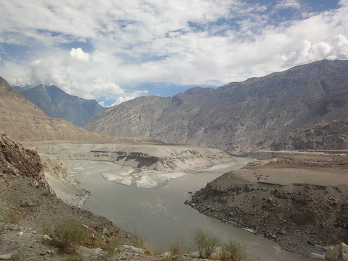
Pak0 006 Indus Valley
![pakistan sky panorama clouds landscape geotagged wideangle tags location elements ultrawide stitched bunji canonefs1022mmf3545usm astore gilgitbaltistan canoneos650d imranshah](https://live.staticflickr.com/8575/16603978521_f204996dc8.jpg)
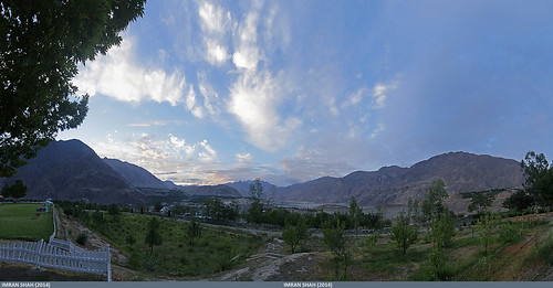
Bunji, Gilgit-Baltistan in Gilgit-Baltistan, Pakistan
![pakistan sky panorama mountains water clouds canon river landscape geotagged rocks wide tags location elements tamron cloudscapes bunji astore gilgitbaltistan canoneos650d imranshah gilgit2 tamronsp1750mmf28dillvc](https://live.staticflickr.com/1525/25562263751_f9301ff05b.jpg)
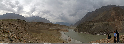
Indus River near Bunji
![pakistan geotagged kkh 20070731](https://live.staticflickr.com/1436/963798572_91c65da45c.jpg)
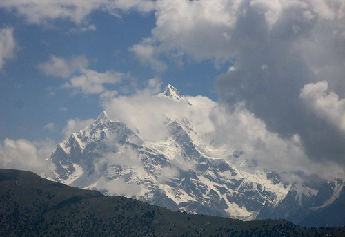
Nange Parbat
![pakistan geotagged kkh 20070726](https://live.staticflickr.com/1175/935471595_5144a65ac8.jpg)
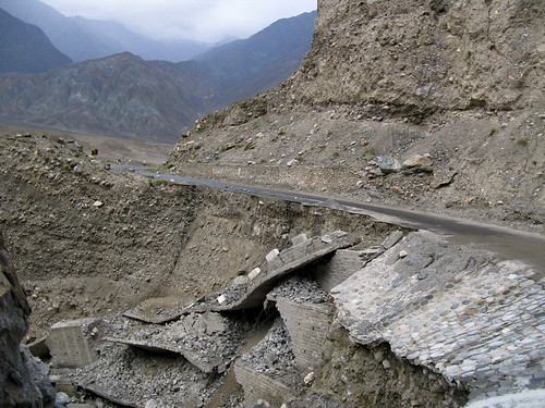
The road, tumbled down.
![](https://live.staticflickr.com/5513/30505833586_502d38ddfc.jpg)
The three ranges.