Elevation map of Astore District
Longitude: 74.8741045
Latitude: 35.21899
Elevation: 3280m / 10761feet
Barometric Pressure: 68KPa
Elevation Map:
Satellite Map:
Related Photos:

Nanga Parbat Trek 2009

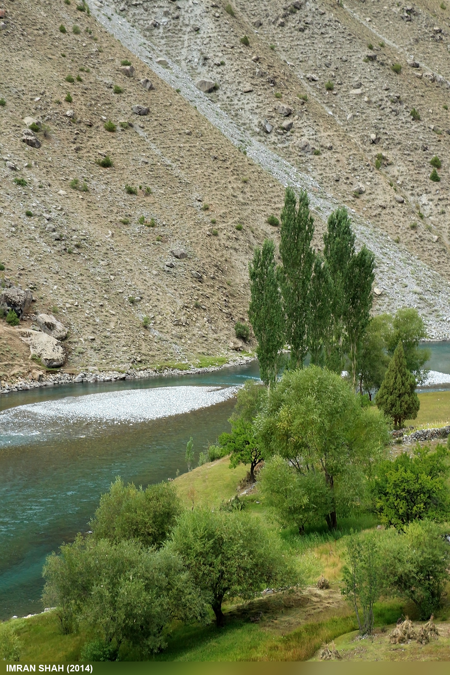
Astore River
Green & Blue
The Northern Vibes of Deosai Plaetu .. The Sheosar Lake ♡♡♡ .. #Traveller #Sheosar #TheNorth #Deosai #Pakistan #Blogger #TravelDiaries #Photooftheday #Follow4follow #Skardu #gilgitbaltistan #beautiful

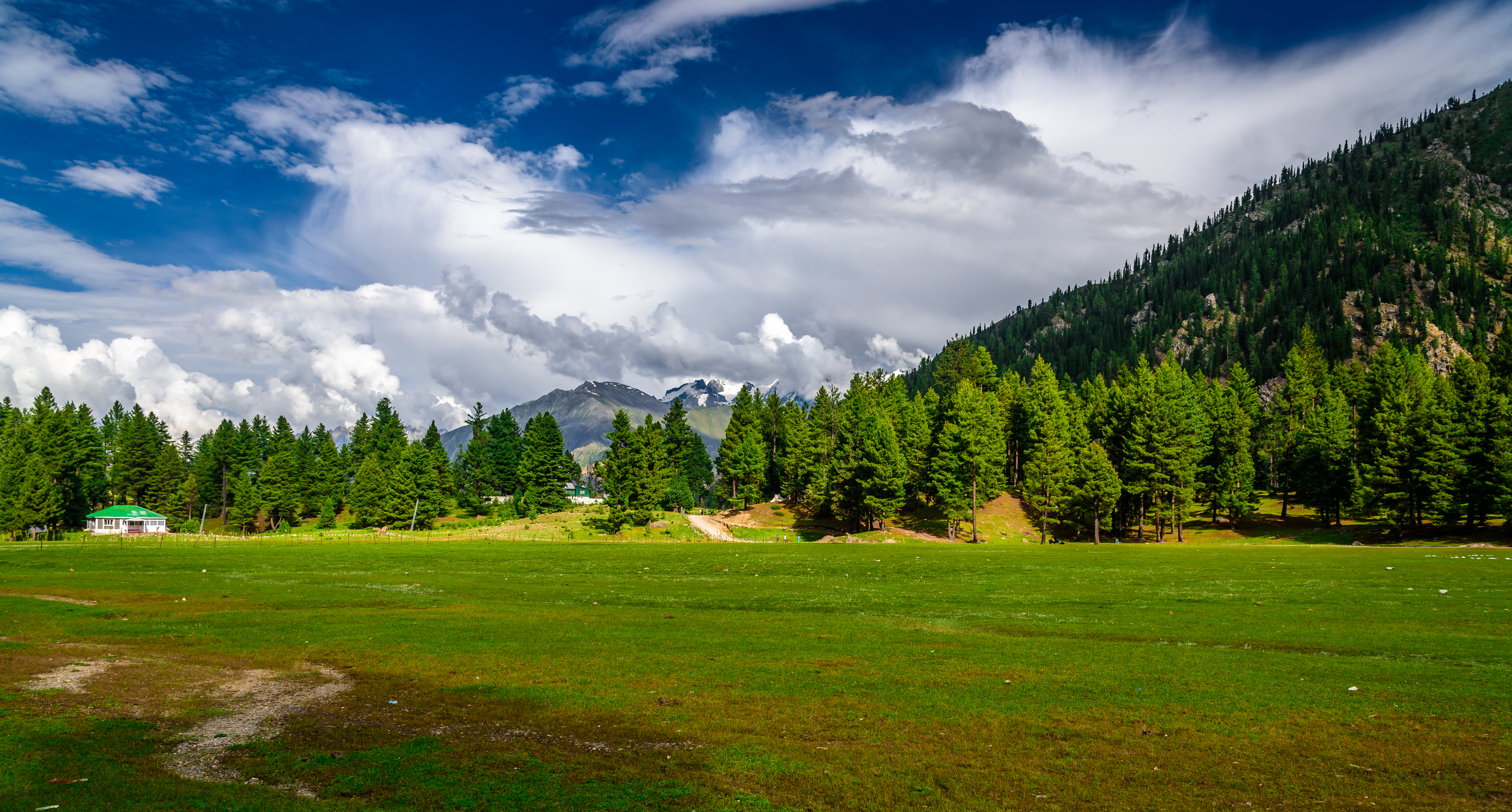
Astore Valley
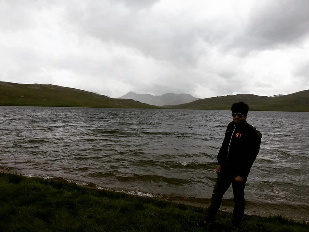
rama astore
Nanga Parbat Trek 2009
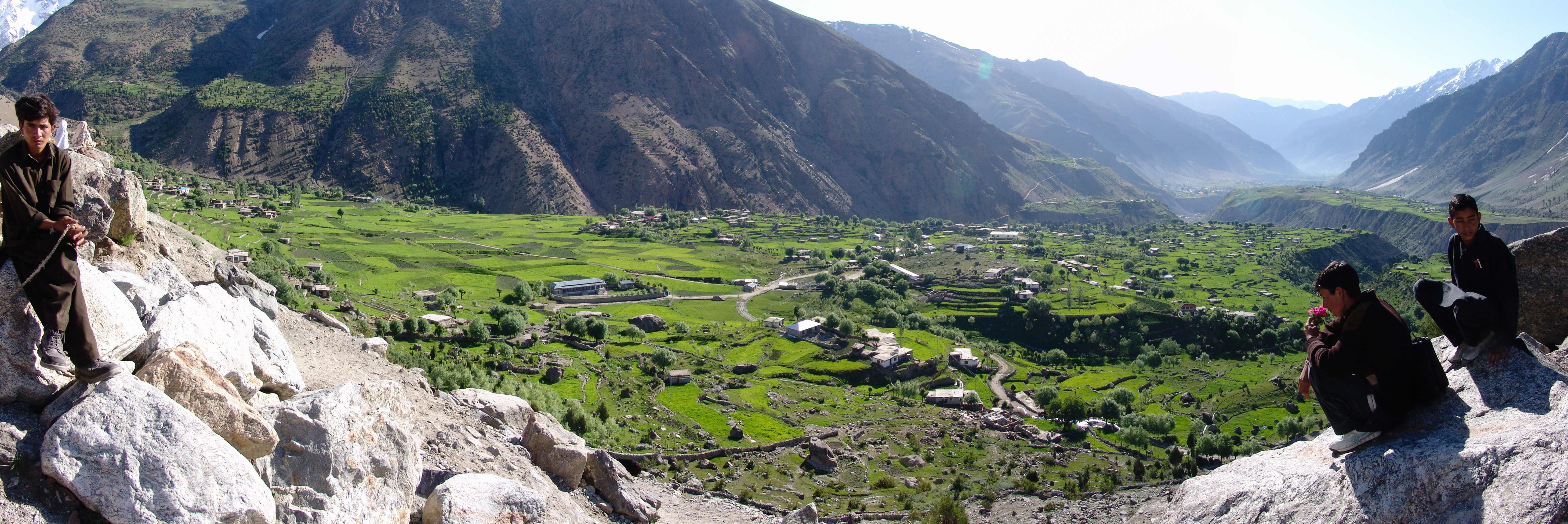
Nanga Parbat Trek 2009
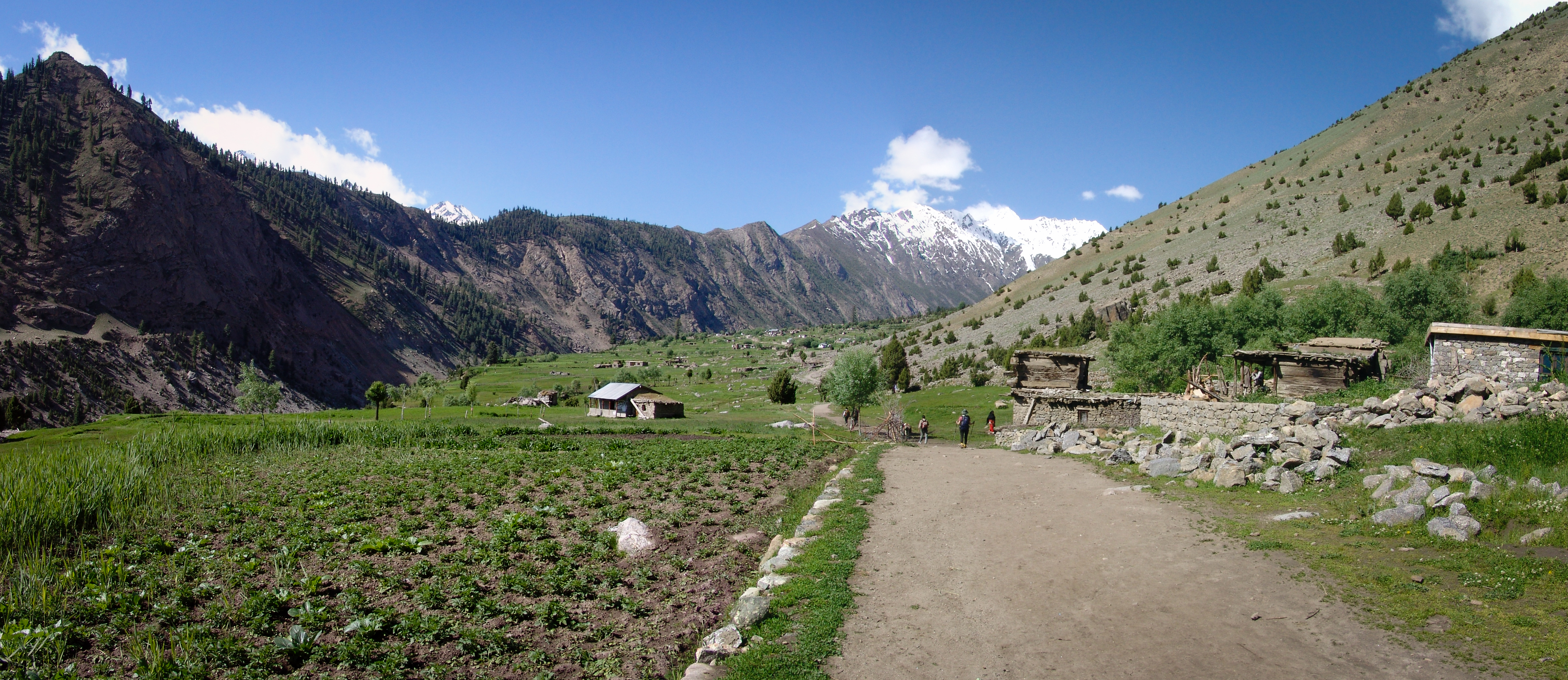
Nanga Parbat Trek 2009
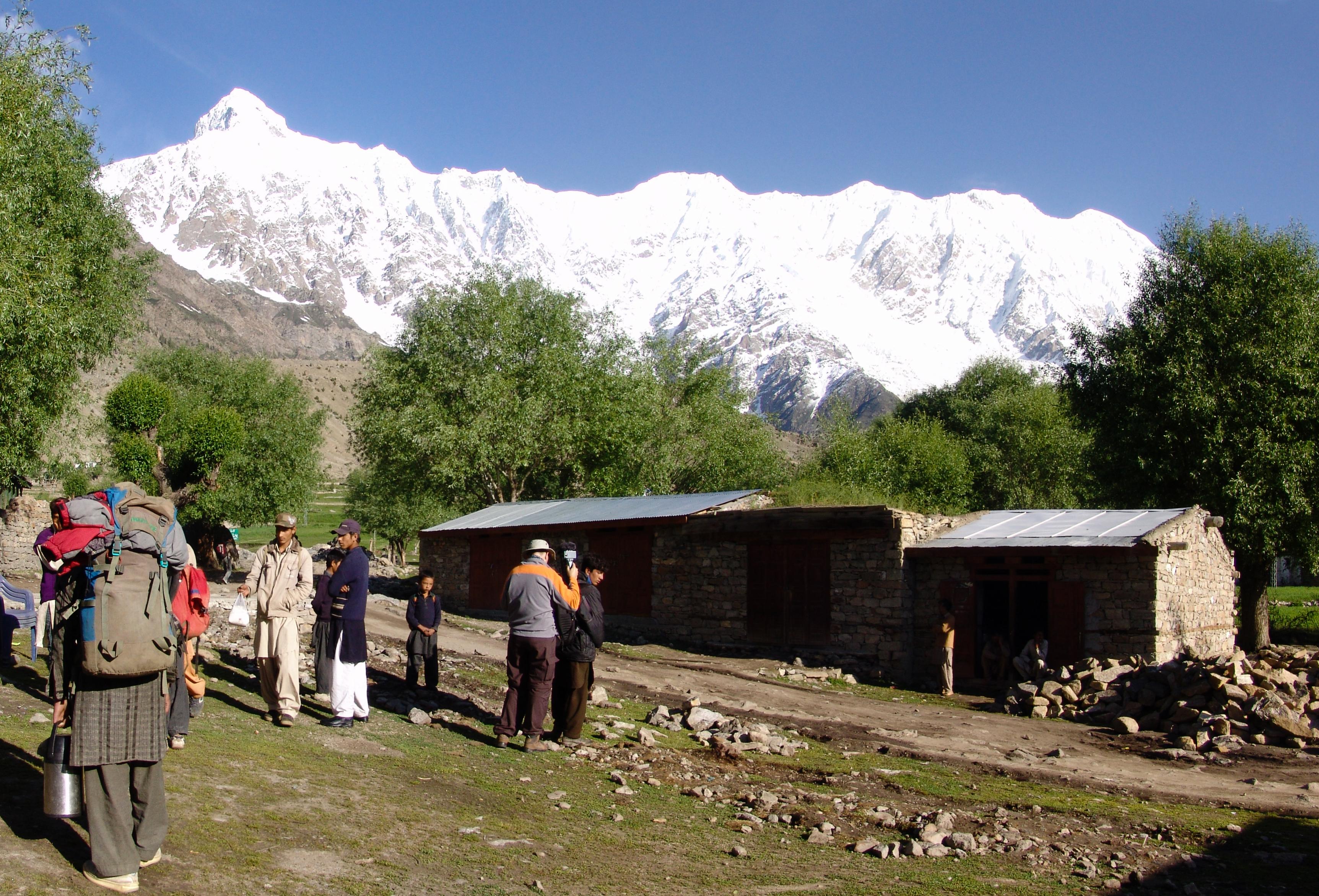
Nanga Parbat Trek 2009

Raging River
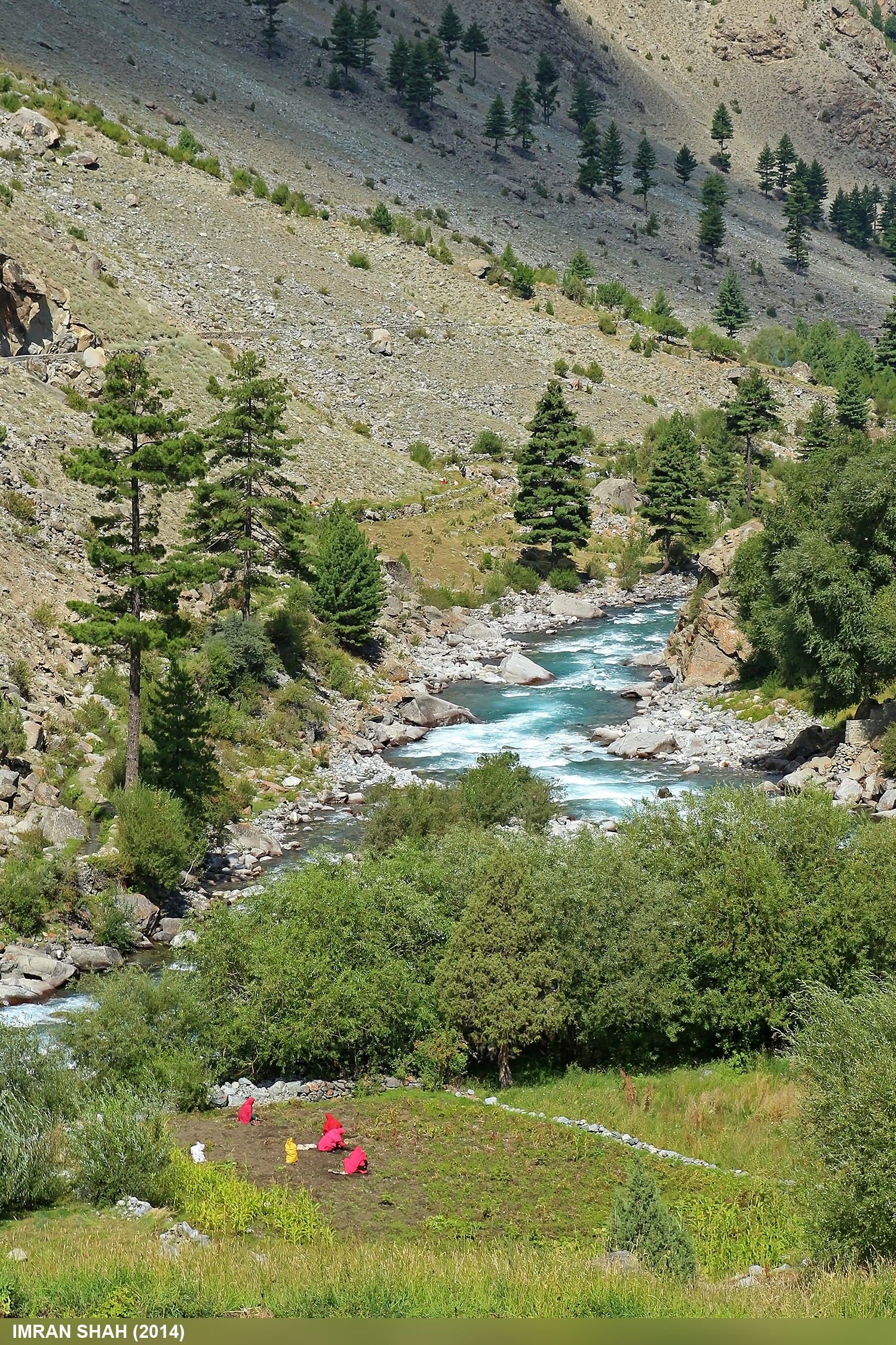
Astore River
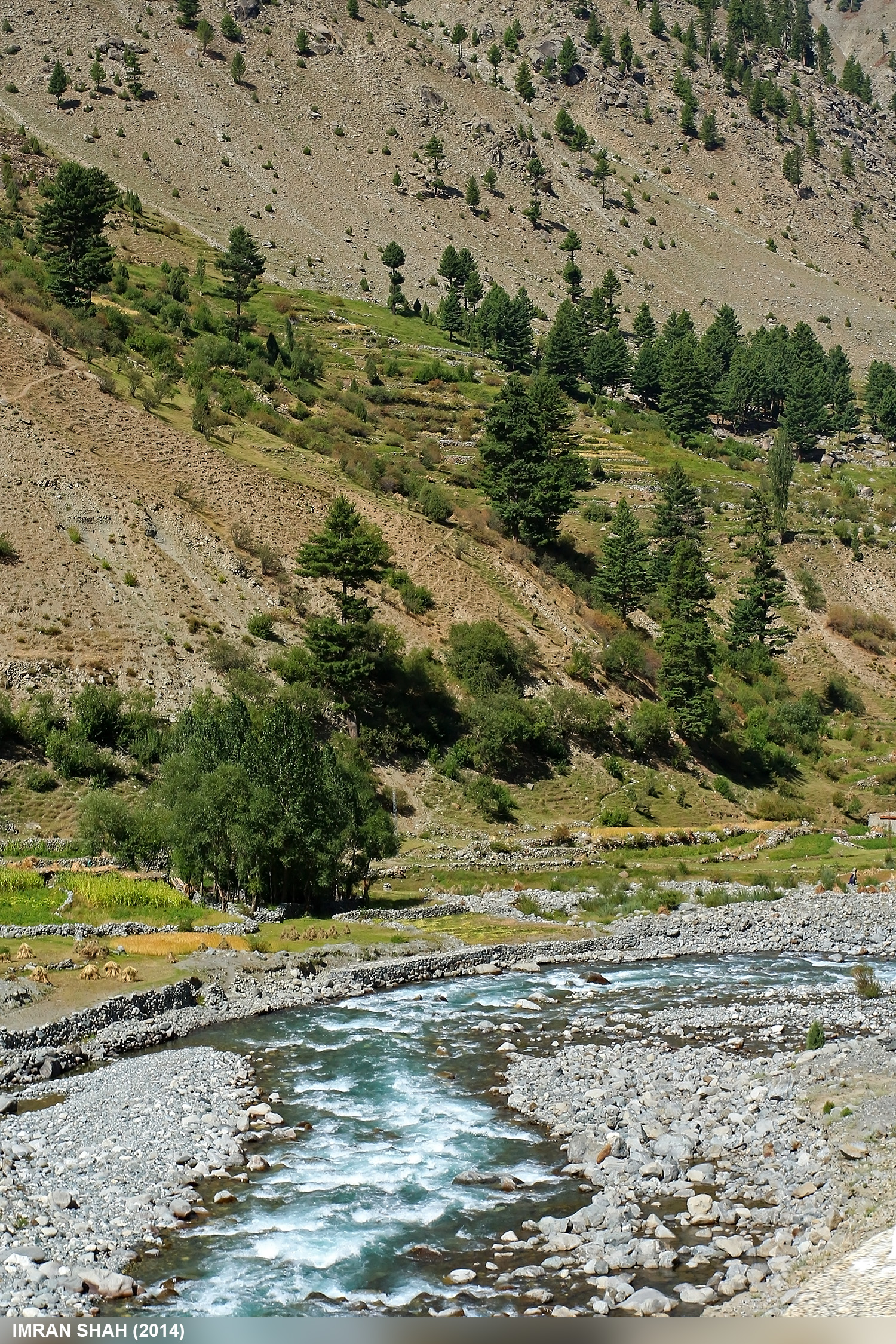
Astore River
Astore River
Topographic Map of Astore District
Find elevation by address:

Places near Astore District:
Astore
Rama Lake
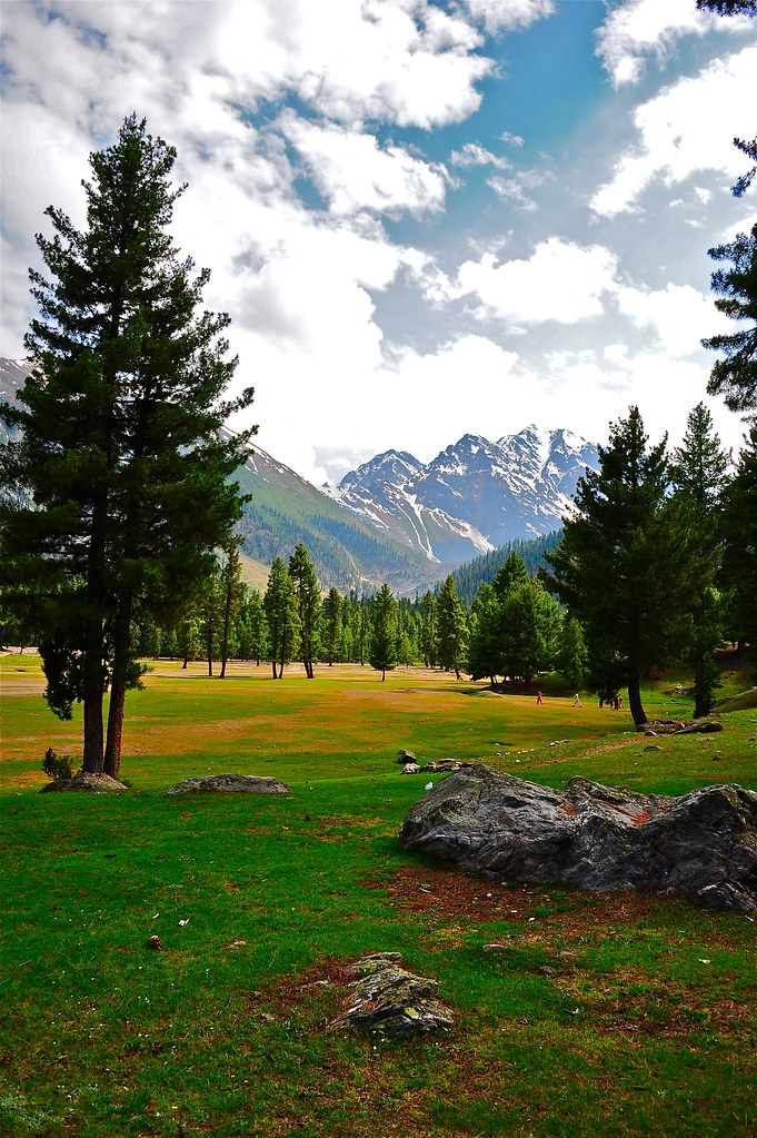
Rama Meadows
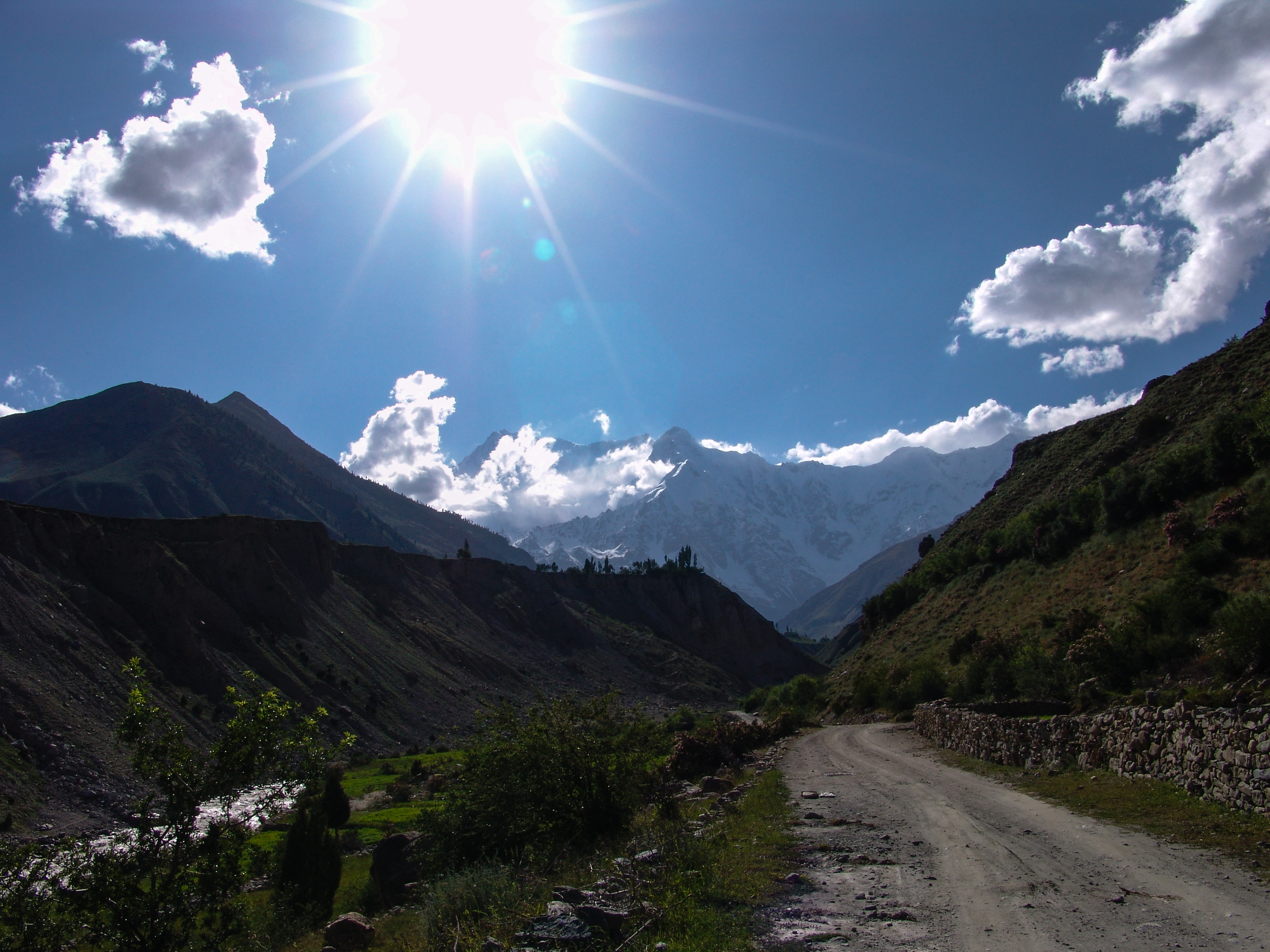
Nanga Parbat
Domel
Fairy Meadows
Harpoh
Bunji
Jaglot
Indus-gilgit Confluence
Gilgit-baltistan
Upper Kachura Lake
Haramosh
Skardu Airport
Katpana Desert
Ptdc Motel Astak
Skardu
Bilchhar Dobani
Malubiting
Sildi
Recent Searches:
- Elevation of Corso Fratelli Cairoli, 35, Macerata MC, Italy
- Elevation of Tallevast Rd, Sarasota, FL, USA
- Elevation of 4th St E, Sonoma, CA, USA
- Elevation of Black Hollow Rd, Pennsdale, PA, USA
- Elevation of Oakland Ave, Williamsport, PA, USA
- Elevation of Pedrógão Grande, Portugal
- Elevation of Klee Dr, Martinsburg, WV, USA
- Elevation of Via Roma, Pieranica CR, Italy
- Elevation of Tavkvetili Mountain, Georgia
- Elevation of Hartfords Bluff Cir, Mt Pleasant, SC, USA