Elevation of Bilchhar Dobani
Longitude: 74.6333333
Latitude: 35.9558333
Elevation: 5532m / 18150feet
Barometric Pressure: 50KPa
Elevation Map:
Satellite Map:
Related Photos:
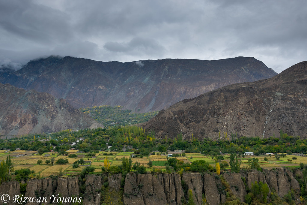
DSC_1617
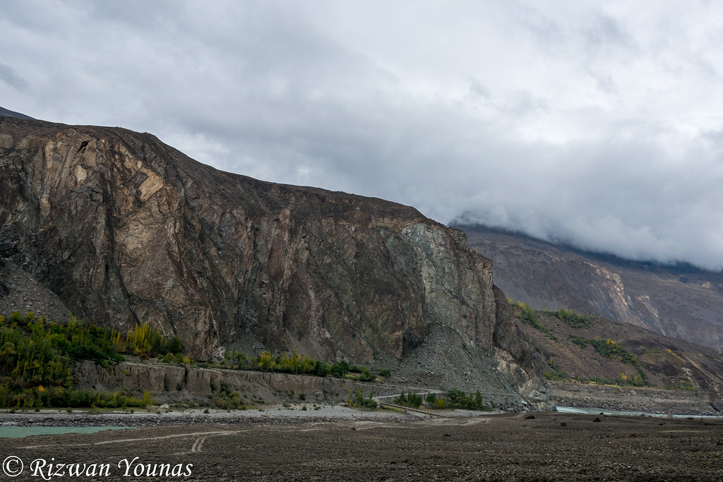
DSC_1619
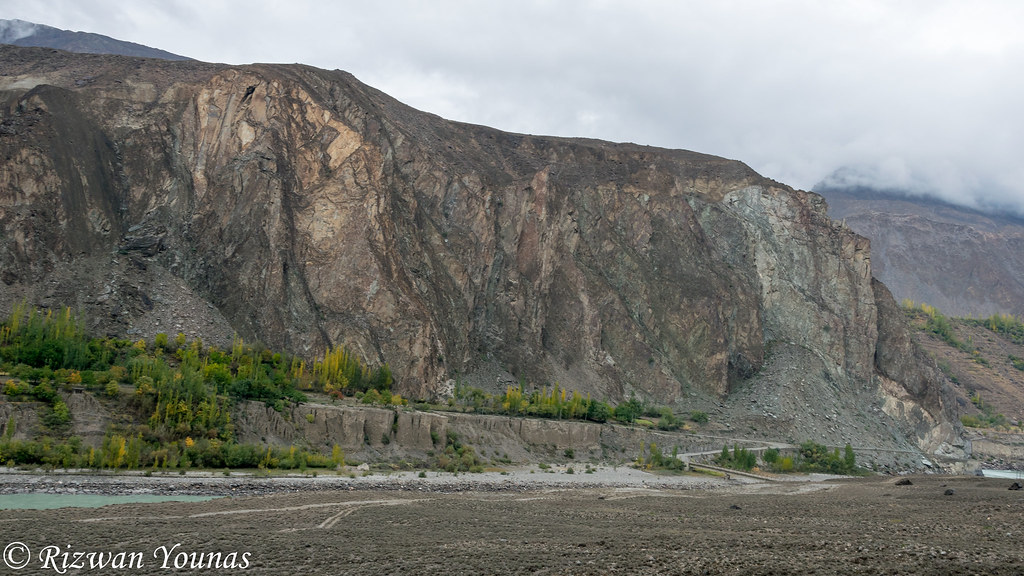
DSC_1620
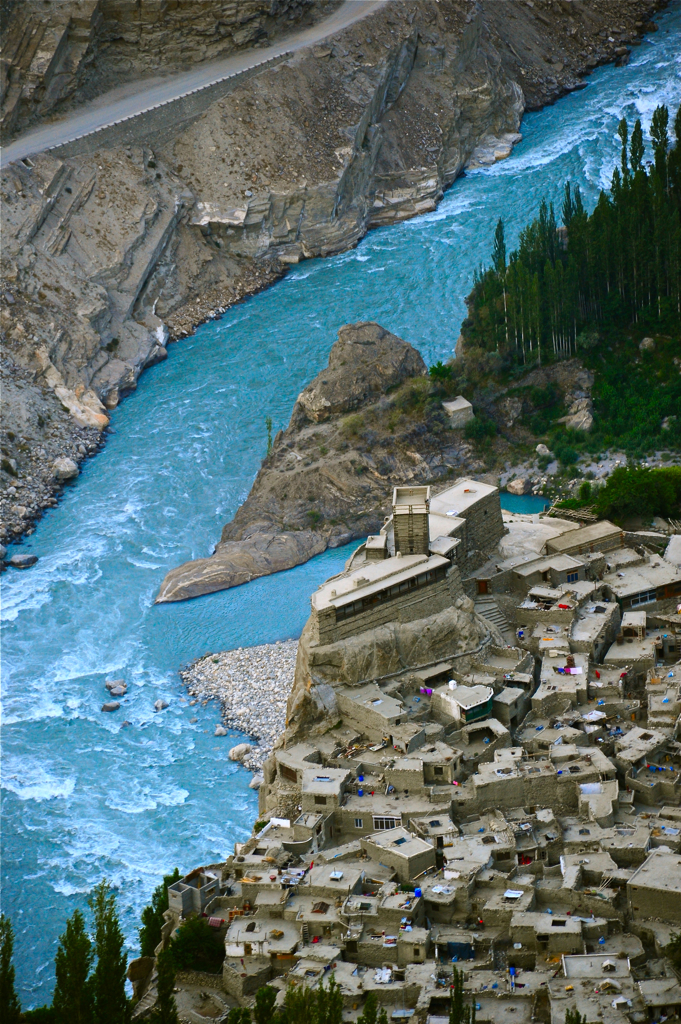
DSC_2896
Topographic Map of Bilchhar Dobani
Find elevation by address:

Places near Bilchhar Dobani:
Diran
Indus-gilgit Confluence
Malubiting
Jaglot
Minapin
Haramosh
Hopar Valley
Bunji
Rush Lake
Nagar Khas
Hunza River
Spantik
Ptdc Motel, Hunza
Hunza Valley
Hunza Embassy Hotel
Darbar Hotel
Hunza Serena Inn
Mulberry Hotel
Cafe De Hunza
Baltit Fort
Recent Searches:
- Elevation of Corso Fratelli Cairoli, 35, Macerata MC, Italy
- Elevation of Tallevast Rd, Sarasota, FL, USA
- Elevation of 4th St E, Sonoma, CA, USA
- Elevation of Black Hollow Rd, Pennsdale, PA, USA
- Elevation of Oakland Ave, Williamsport, PA, USA
- Elevation of Pedrógão Grande, Portugal
- Elevation of Klee Dr, Martinsburg, WV, USA
- Elevation of Via Roma, Pieranica CR, Italy
- Elevation of Tavkvetili Mountain, Georgia
- Elevation of Hartfords Bluff Cir, Mt Pleasant, SC, USA