Elevation of Bunji
Longitude: 74.6341875
Latitude: 35.6431118
Elevation: 1453m / 4767feet
Barometric Pressure: 85KPa
Elevation Map:
Satellite Map:
Related Photos:

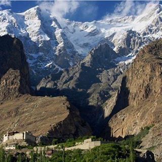
Nanga Parbar View Point
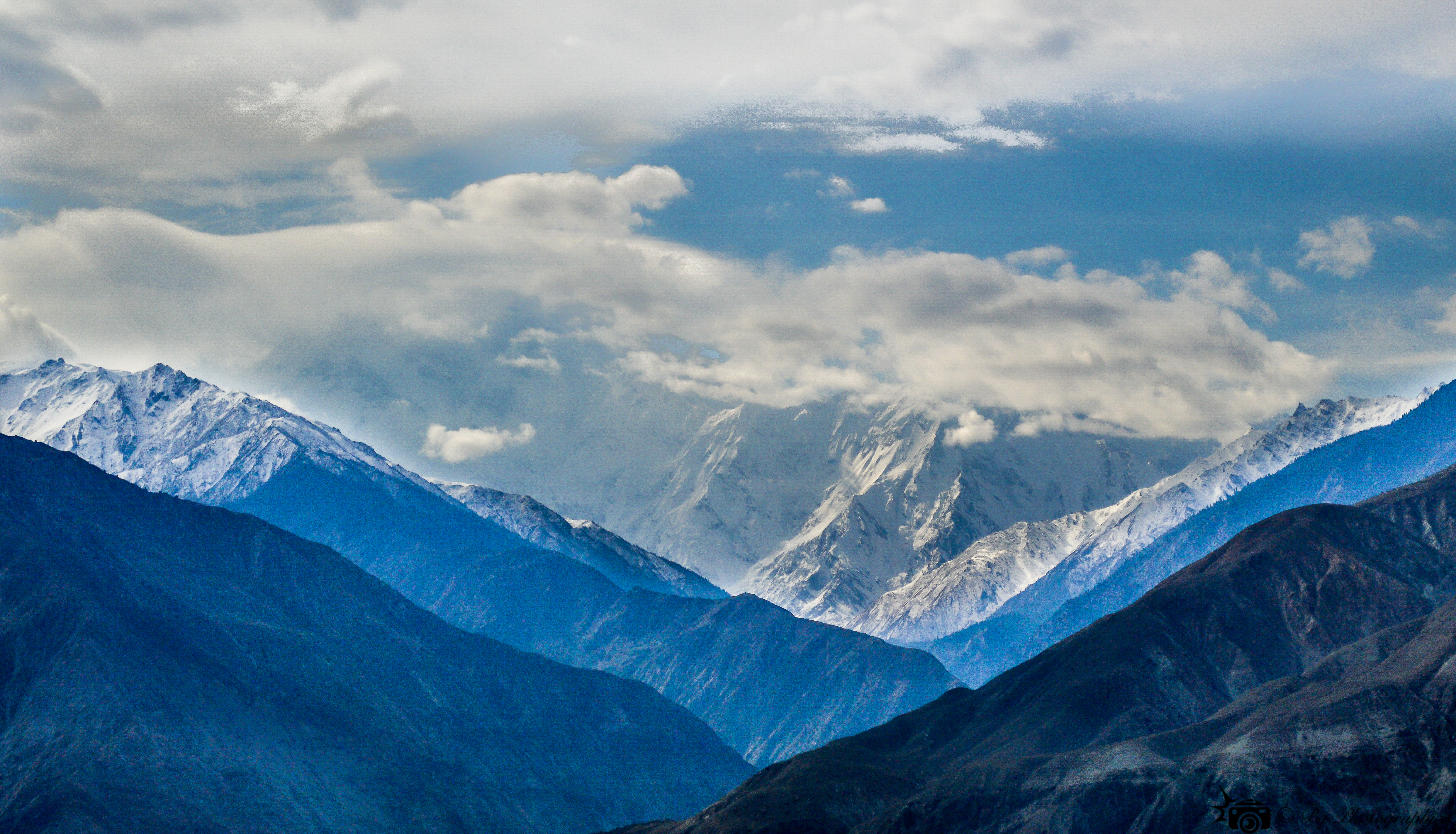
Three highest mountain ranges
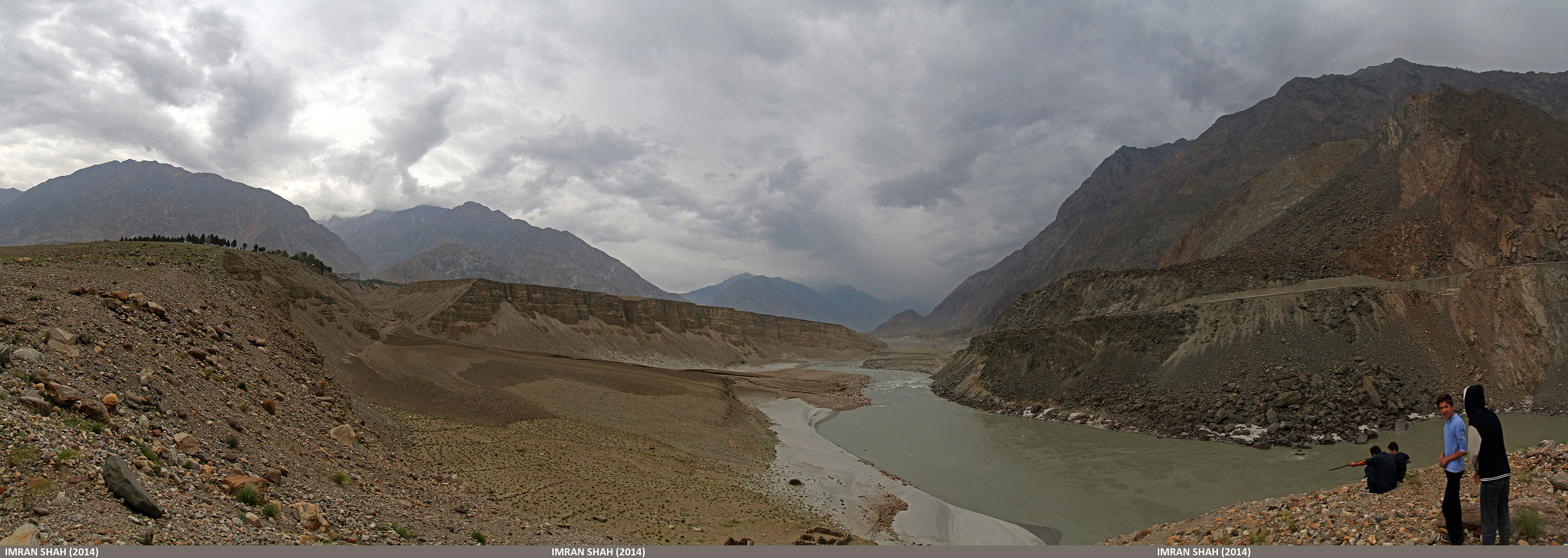
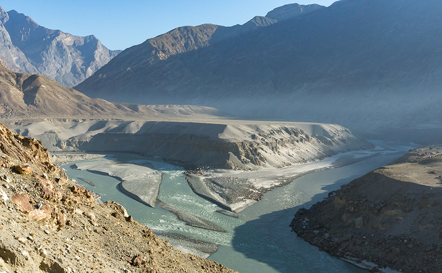
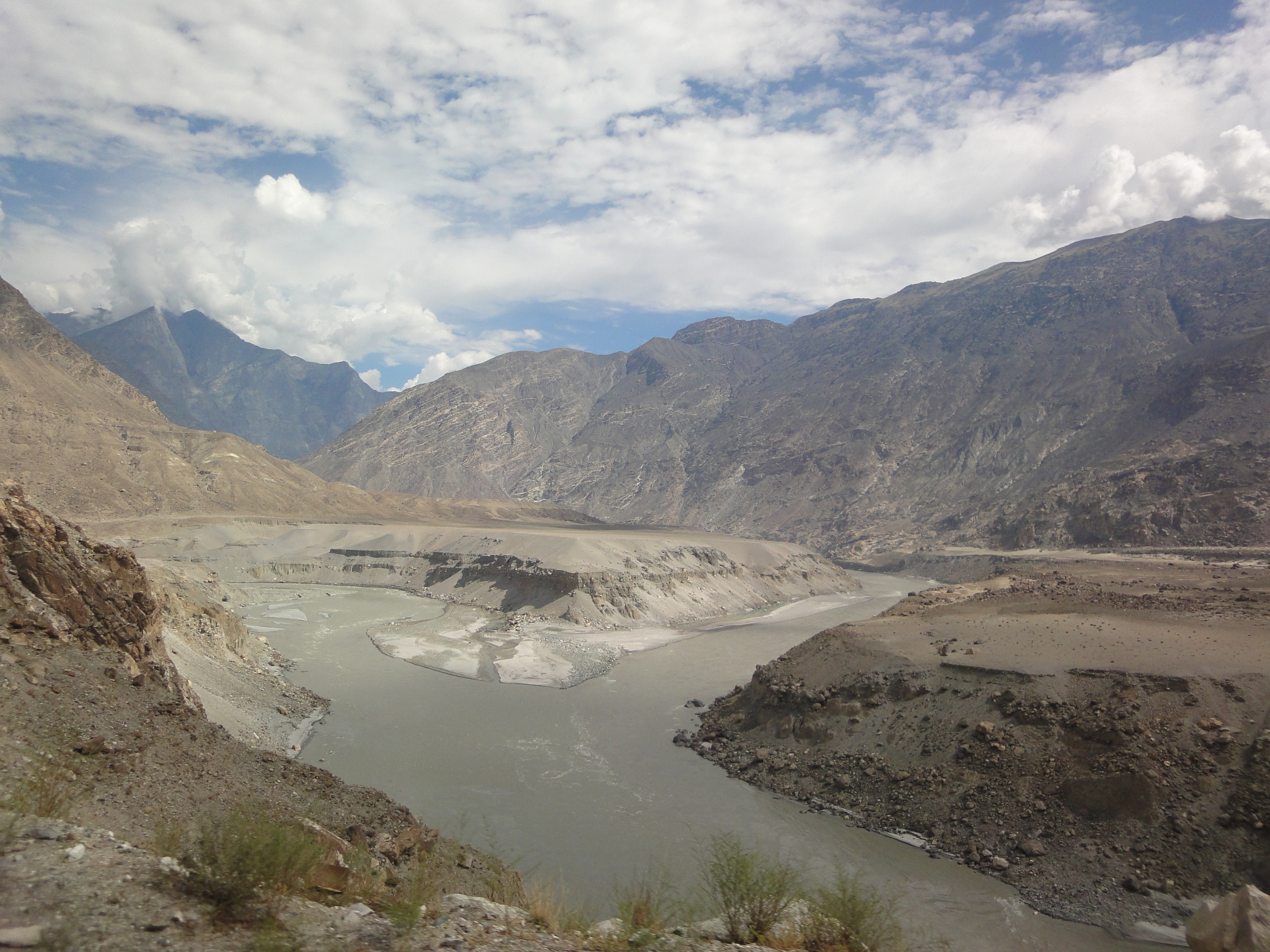
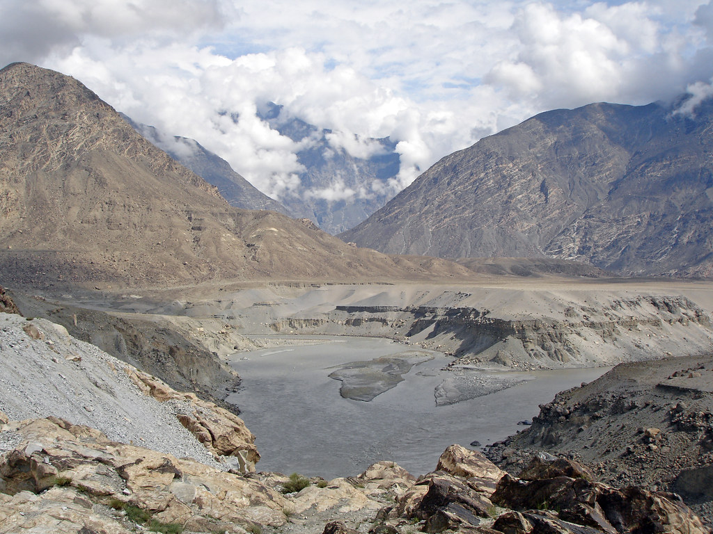
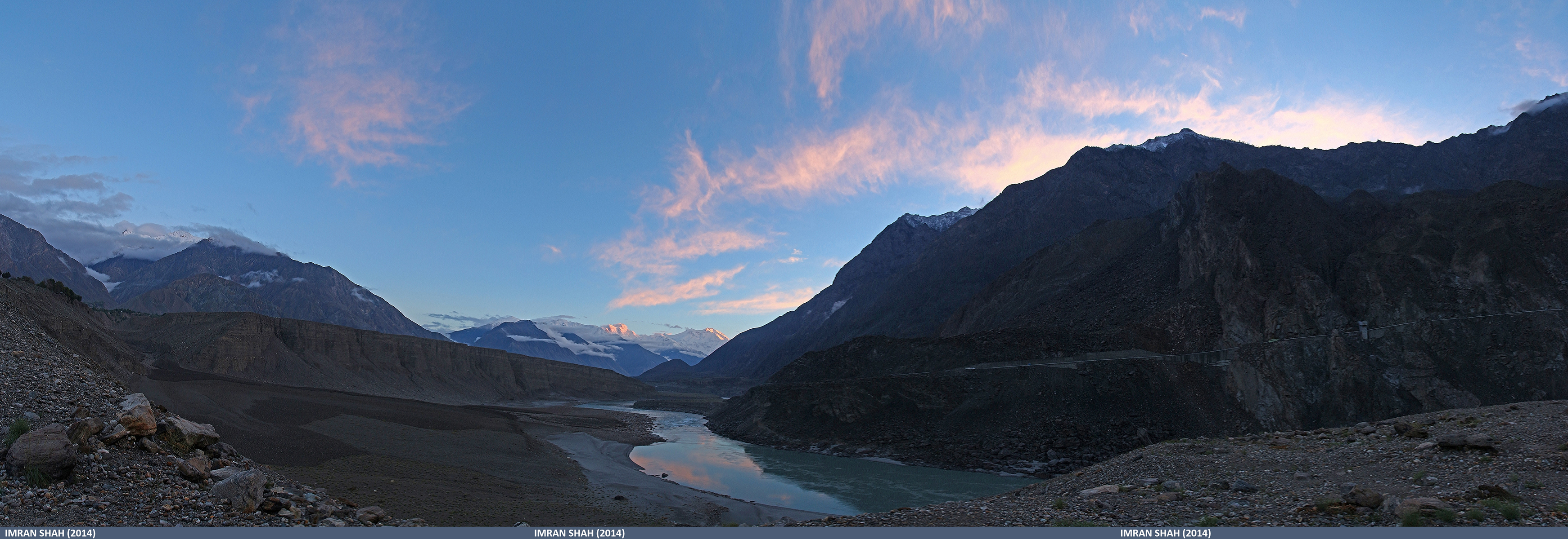
Indus River near Bunji
Bunji, Gilgit-Baltistan in Gilgit-Baltistan, Pakistan
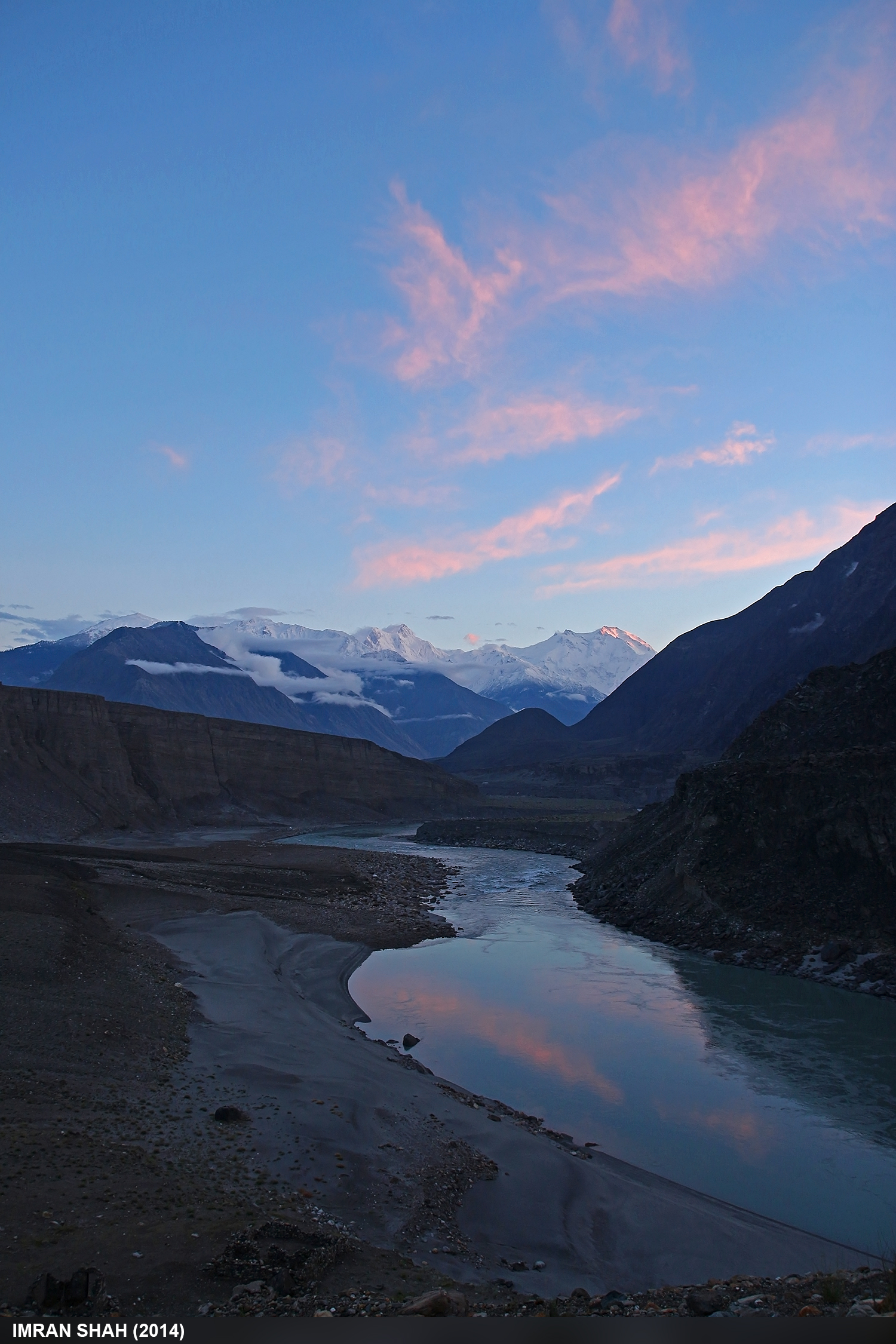
Confluence of Indus and Gilgit river
Pak0 006 Indus Valley
#travel #traveling #TagsForLikes.com #TFLers #vacation #visiting #instatravel #instago #instagood #trip #holiday #photooftheday #fun #travelling #tourism #tourist #instapassport #instatraveling #mytravelgram #travelgram #travelingram #igtravel#pakistan
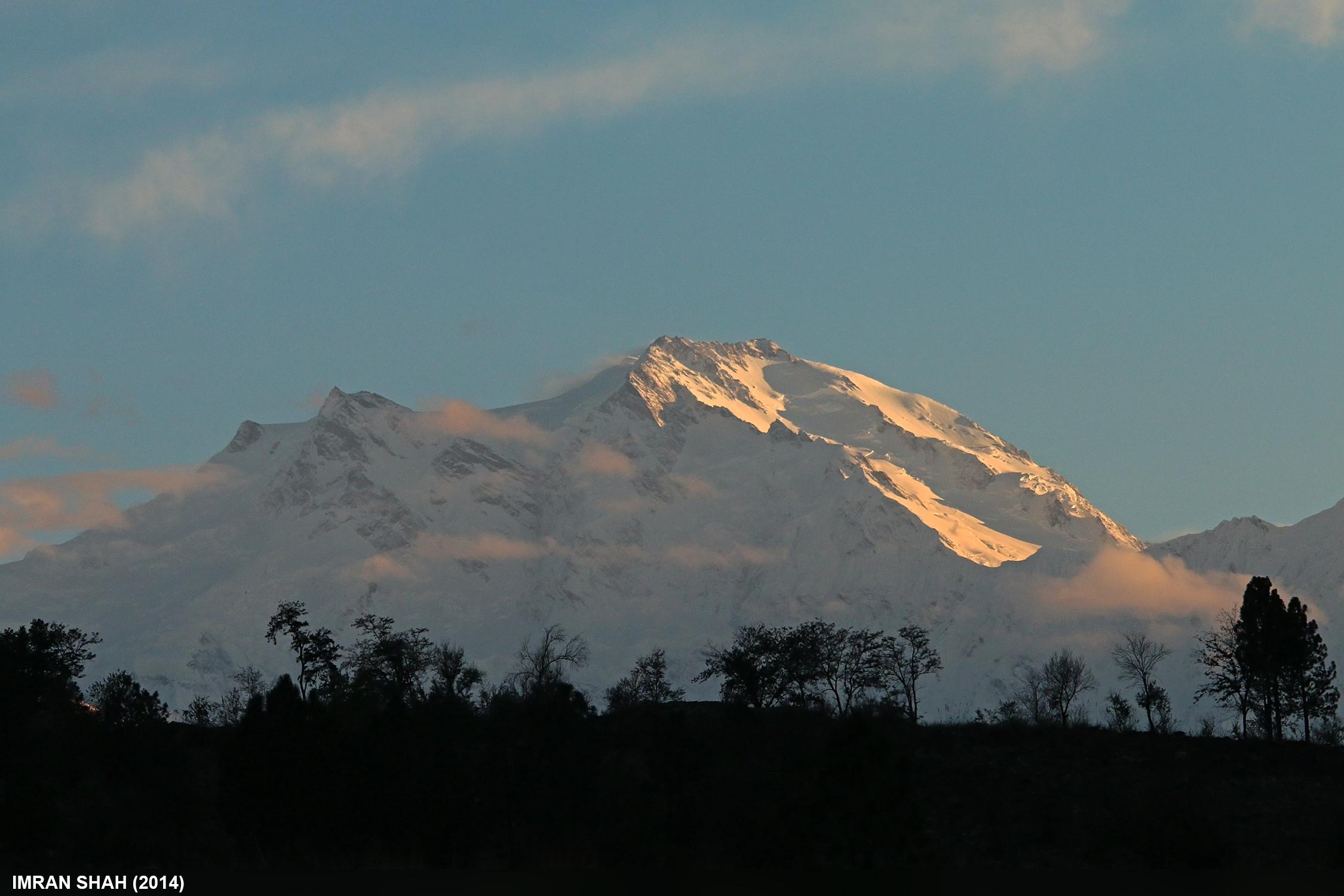
Nanga Parbat and Indus River
Nange Parbat
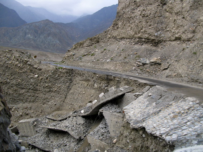
The road, tumbled down.
Chongra Peak (6830m)
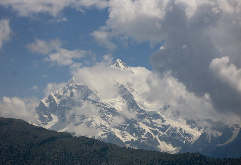
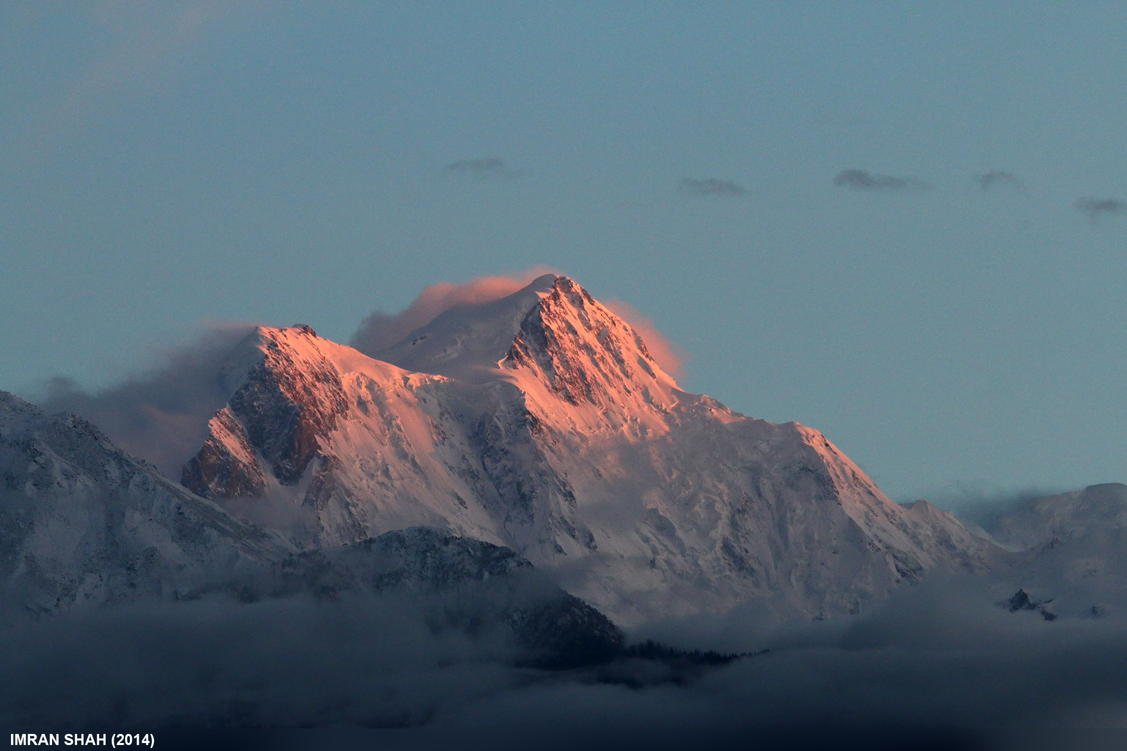
Nanga Parbat (8126m)
Nanga Parbat
Mighty Nanga Parbat
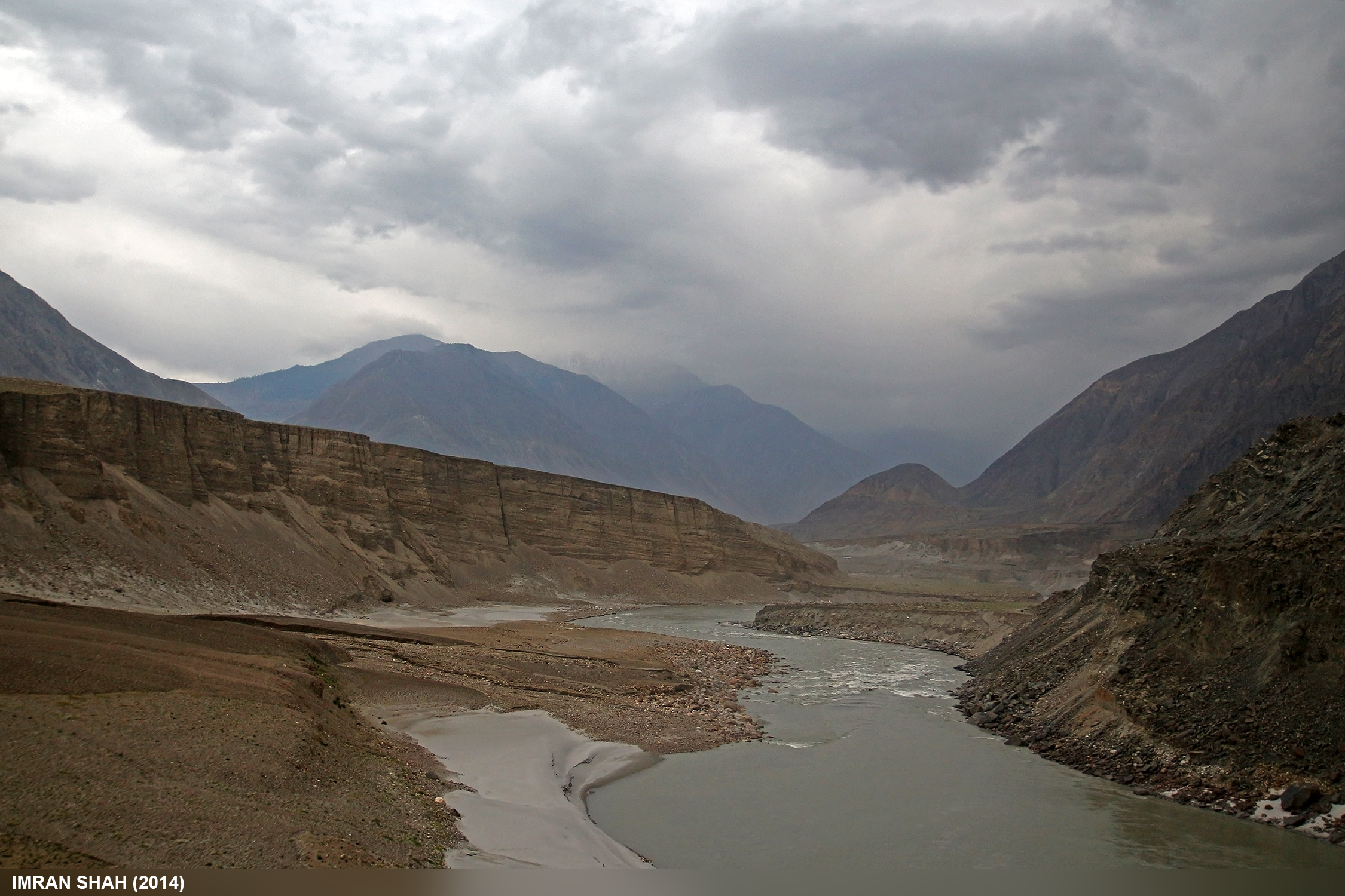
Indus River
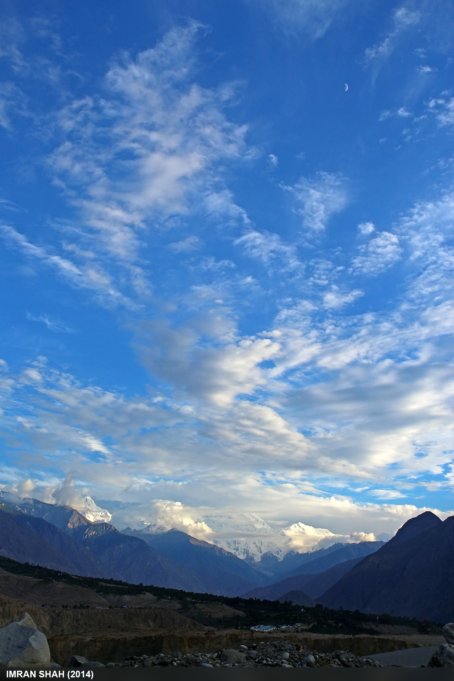
Nanga Parbat Peak
Topographic Map of Bunji
Find elevation by address:

Places near Bunji:
Jaglot
Indus-gilgit Confluence
Fairy Meadows
Bilchhar Dobani
Haramosh
Rama Meadows
Rama Lake
Astore
Gilgit-baltistan
Nanga Parbat
Malubiting
Diran
Astore District
Harpoh
Spantik
Minapin
Rush Lake
Hopar Valley
Nagar Khas
Hunza River
Recent Searches:
- Elevation of Corso Fratelli Cairoli, 35, Macerata MC, Italy
- Elevation of Tallevast Rd, Sarasota, FL, USA
- Elevation of 4th St E, Sonoma, CA, USA
- Elevation of Black Hollow Rd, Pennsdale, PA, USA
- Elevation of Oakland Ave, Williamsport, PA, USA
- Elevation of Pedrógão Grande, Portugal
- Elevation of Klee Dr, Martinsburg, WV, USA
- Elevation of Via Roma, Pieranica CR, Italy
- Elevation of Tavkvetili Mountain, Georgia
- Elevation of Hartfords Bluff Cir, Mt Pleasant, SC, USA