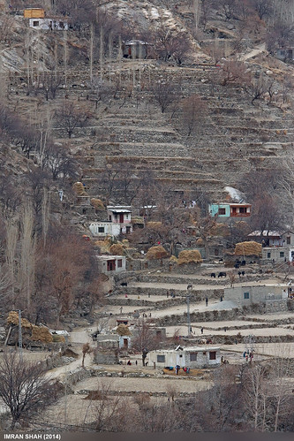
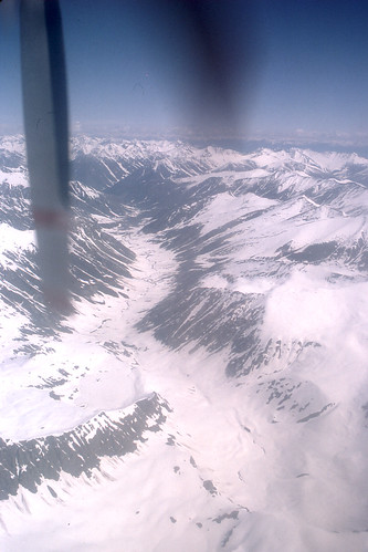
Elevation of Harpoh
Longitude: 75.1388775
Latitude: 35.5820116
Elevation: 2571m / 8435feet
Barometric Pressure: 74KPa
Related Photos:
Topographic Map of Harpoh
Find elevation by address:

Places near Harpoh:
Gilgit-baltistan
Upper Kachura Lake
Haramosh
Astore
Rama Meadows
Domel
Rama Lake
Astore District
Sildi
Skardu Airport
Malubiting
Spantik
Bunji
Hispar Glacier
Katpana Desert
Indus-gilgit Confluence
Ptdc Motel Astak
Jaglot
Shigar
Skardu
Recent Searches:
- Elevation of Corso Fratelli Cairoli, 35, Macerata MC, Italy
- Elevation of Tallevast Rd, Sarasota, FL, USA
- Elevation of 4th St E, Sonoma, CA, USA
- Elevation of Black Hollow Rd, Pennsdale, PA, USA
- Elevation of Oakland Ave, Williamsport, PA, USA
- Elevation of Pedrógão Grande, Portugal
- Elevation of Klee Dr, Martinsburg, WV, USA
- Elevation of Via Roma, Pieranica CR, Italy
- Elevation of Tavkvetili Mountain, Georgia
- Elevation of Hartfords Bluff Cir, Mt Pleasant, SC, USA


