Elevation of Industrial Park Rd, Johnstown, PA, USA

Location: United States > Pennsylvania > Cambria County > Johnstown >

Longitude: -78.832709

Latitude: 40.2837165

Elevation: -10000m / -32808feet

Barometric Pressure: 295KPa

Elevation Map:

elevation map of Industrial Park Rd, Johnstown, PA, USA

Satellite Map:

Satellite map of Industrial Park Rd, Johnstown, PA, USA

Related Photos:

county sky tree bird silhouette clouds photo published pentax pennsylvania profile picture pa crow cambria nowpublic johnstown corvusbrachyrhynchos americancrow k10d
American Crow - Johnstown, Pennsylvania
pennsylvania johnstown nationalregister nationalregisterofhistoricplaces cambriacounty johnstowninclinedrailway
Johnstown Inclined Plane PA
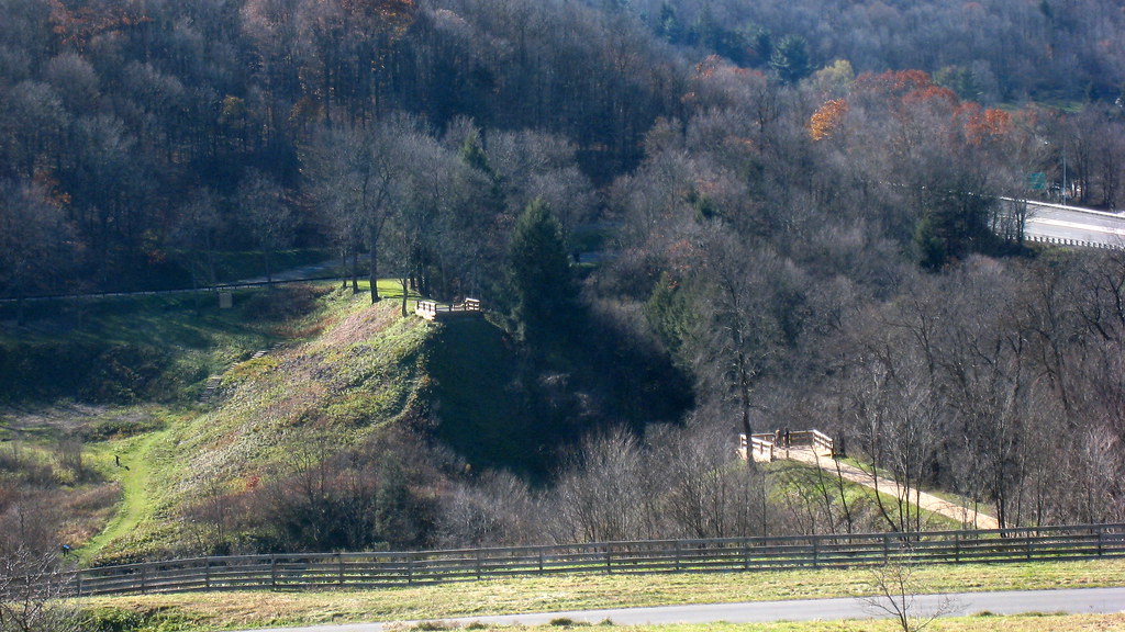
usa pennsylvania southfork johnstownflood johnstownfloodnationalmemorial lakeconemaugh littleconemaughriver railropad southforkcreek
South Fork Valley
tower church architecture religious sandstone flood pennsylvania religion gothic methodist roofline johnstown merger unitedmethodist rosewindow brethren richardsonianromanesque nationalregister cambriacounty nrhp evangelicalunitedbrethren akronplan
Johnstown, PA-- First United Methodist Church, 1910
county sign barn photo mail pentax jill pennsylvania farm picture nostalgia pa pouch americana chew cambria tobacco johnstown chewmailpouchtobacco treatyourselftothebest k10d gontkovic 0834ed1
My own Mail Pouch barn!
county bridge snow tree photo pentax pennsylvania picture somerset historic pa covered coveredbridge township johnstown truss shaffer twp conemaugh 5641 burrarch k10d benscreek
Shaffer Bridge -- Somerset County, Pennsylvania
inclinedplanejohntownpa viewofjohnstownpafromtheinclinedplane roncogswell funicular
View of Johnstown (PA) from the Inclined Plane August 2017
house snow unger johnstownflood
The Unger House
theinclinedplanejohnstownpa roncogswell inclinedplanecarandsideviewjohnstownpa sideviewofaninclinedplanecarjohnstownpa johnstownpa
Inclined Plane Car And Side View Johnstown (PA) August 2017
auto county roof hot ford car yellow photo model automobile jay pentax pennsylvania picture engine pa vehicle rod chopped cambria johnstown 1930 wolk 5009 z34 a k10d tciframe
1930 Ford Model A Hot Rod
inclinedplanejohntownpa viewofjohnstownpafromtheinclinedplane ascentviewofdowntownjohnstownpafromtheinclinedplane roncogswell funicular
'Ascent' -- View of Downtown Johnstown (PA) from the Inclined Plane August 2017
auto county roof hot ford car yellow photo model automobile jay pentax pennsylvania picture engine pa dash vehicle rod chopped dashboard cambria johnstown 1930 wolk 5004 z34 a k10d tciframe
1930 Ford Model A Hot Rod
railroad usa pennsylvania southfork johnstownflood johnstownfloodnationalmemorial lakeconemaugh littleconemaughriver southforkcreek
Close View of the failed South Fork Dam
pennsylvania pa johnstownpa inclinedplane cambriacounty cambriaironcompany viewfromthetopoftheinclinedplane cambriasteelco
Johnstown Pennsylvania, Cambria Iron Company
A View of the Mountains...
county winter red snow tree barn photo pentax pennsylvania farm picture somerset pa township twp conemaugh k10d 5709ed1
Soap Hollow Road Barn -- Somerset County, Pennsylvania
nps pennsylvania nationalmemorial johnstownflood
Johnstown Flood National Memorial
panorama clouds buildings town unitedstates pennsylvania mining powerplant hugin windber industrialbuildings mine40 smcpa28mmf28 panoramaoutput
Mine 40 near Windber, PA
hand frog leopardfrog
what a view!
county bridge snow tree photo pentax pennsylvania picture somerset historic pa covered township johnstown truss shaffer twp conemaugh 5673 burrarch k10d benscreek
Shaffer Bridge -- Somerset County, Pennsylvania
Not Your Usual PRR Bridge Pt. 1
Blue skies of Pennsylvania.
train trains emd sw7 locomotive switching shortline short line urbna steel mill rails sunrise snow cold shop conemaugh black lick cbl 104 johnstown pa pennsylvania
The Yellow Switcher
water cloudy
Hinckston Run Reservoir
Morning Light in Pennsylvania.
pennsylvania nationalmemorial saintmichael nationalregister nationalregisterofhistoricplaces cambriacounty johnstownfloodnationalmemorial southforkdam
Johnstown Flood NM PA 3
usa pennsylvania southfork johnstownflood johnstownfloodnationalmemorial lakeconemaugh littleconemaughriver southforkcreek
South Fork Dam
pennsylvania nationalmemorial saintmichael nationalregister nationalregisterofhistoricplaces cambriacounty johnstownfloodnationalmemorial southforkdam
Johnstown Flood NM PA 1
pa davidsville
grandma's farm
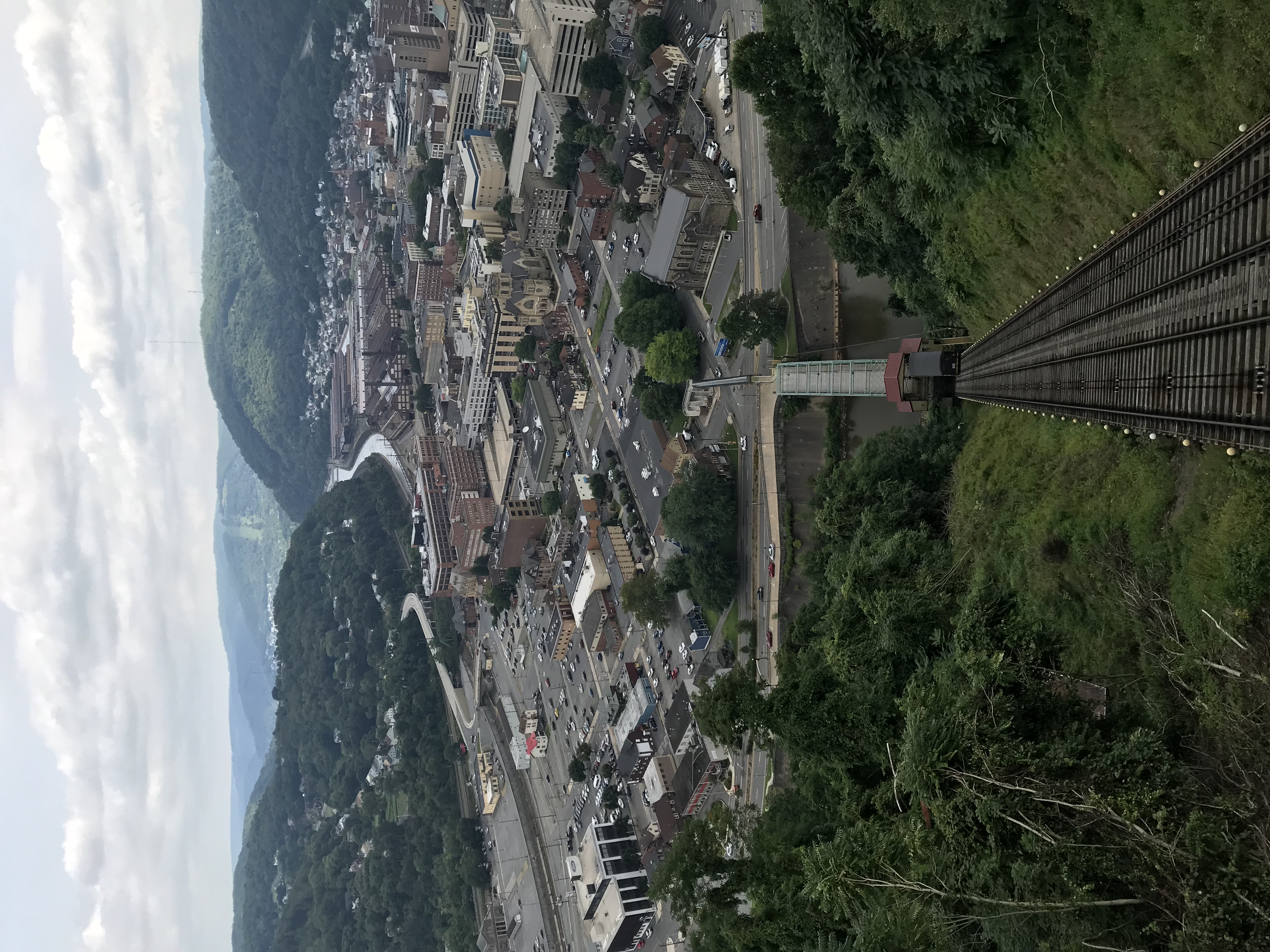
Photo Aug 10, 12 02 36 (1)
Unger House and What was Once Lake Conemaugh, Johnstown Flood Memorial, South Fork, Pennsylvania, July 2017
trees plants field fog unitedstates pennsylvania air hill agriculture summerhill tamronaf70300mmf456lddimacro
Across the field
trees plants field clouds unitedstates pennsylvania agriculture summerhill smcpfa50mmf14
One Shot #35 | Field
windmill buildings unitedstates pennsylvania windturbine agriculturalbuildings smcpa28mmf28 dunlo
20120316-K10D-13415
trees plants snow fog unitedstates pennsylvania air fungus lichen mineralpoint panasoniclumix20mmf17asphii
The snow, as it dies, gives birth to the fog
city bridge abstract reflection building nature landscape design cityscape unitedstates pennsylvania decay urbandecay explorer citylife pa attractive recycle sacrifice johnstown urbanlife johnstownpa riveradventure greenplanet canoncamera historicallandmark abanoned canon60d conemaughriver garysprague betryal explorepa urbanrenewel
Conemaugh River Quest
water rock waterfall rocks 1855mm hdr photomatix mirrorless hdrextremes hdraddicted flickhdr sonynex5n paintfalls
Paint Falls Side Waterfall
trees plants field fog unitedstates pennsylvania air agriculture sidman smcpfa50mmf14
June fog
amtrak amtraktrains amtrakspennsylvanian passengertrains passengercars p42dc amtrakp42locomotives amtrakp42dc autumn autumncolors autumnphotography autumnfoliage autumncolor trainsandautumn amfleet amfleetequipment
Amtrak 42 at Summerhill
Quemahoning Dam
nspittsburghline ns25z ns4134 geac44c6m
NS 25Z at South Fork, Pennsylvania on August 29, 2018