Elevation of Schoolhouse Rd, Johnstown, PA, USA
Location: United States > Pennsylvania > Cambria County > Johnstown >
Longitude: -78.835682
Latitude: 40.2675162
Elevation: 698m / 2290feet
Barometric Pressure: 93KPa
Elevation Map:
Satellite Map:
Related Photos:
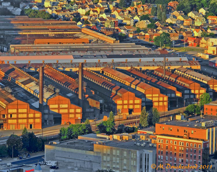
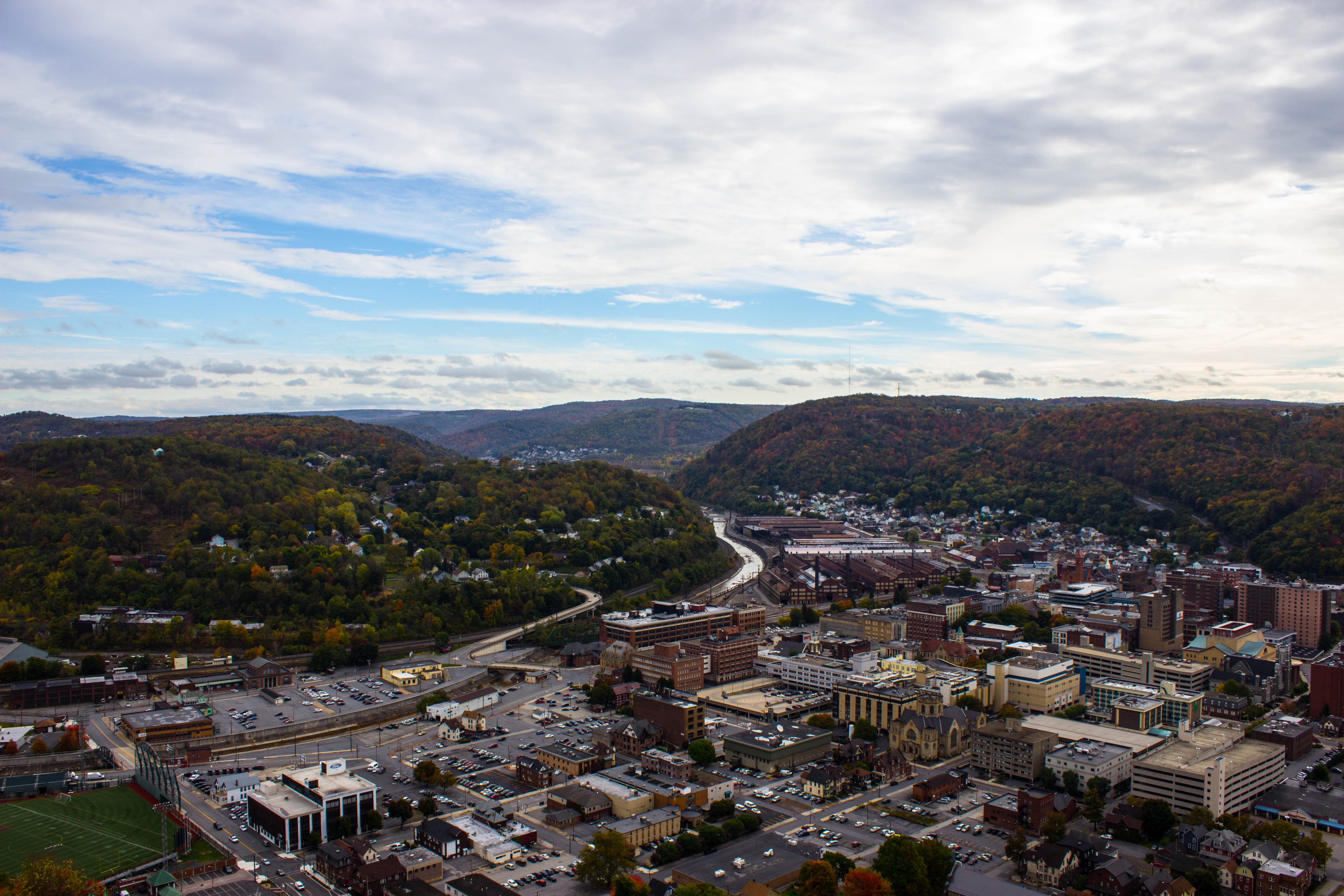
Johnstown Pennsylvania, Cambria Iron Company
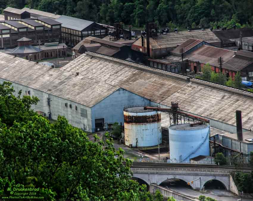
Stone Arch Bridge, Warehouse and Industrial area in Johnstown Pennsylvania

Soap Hollow Road Barn -- Somerset County, Pennsylvania
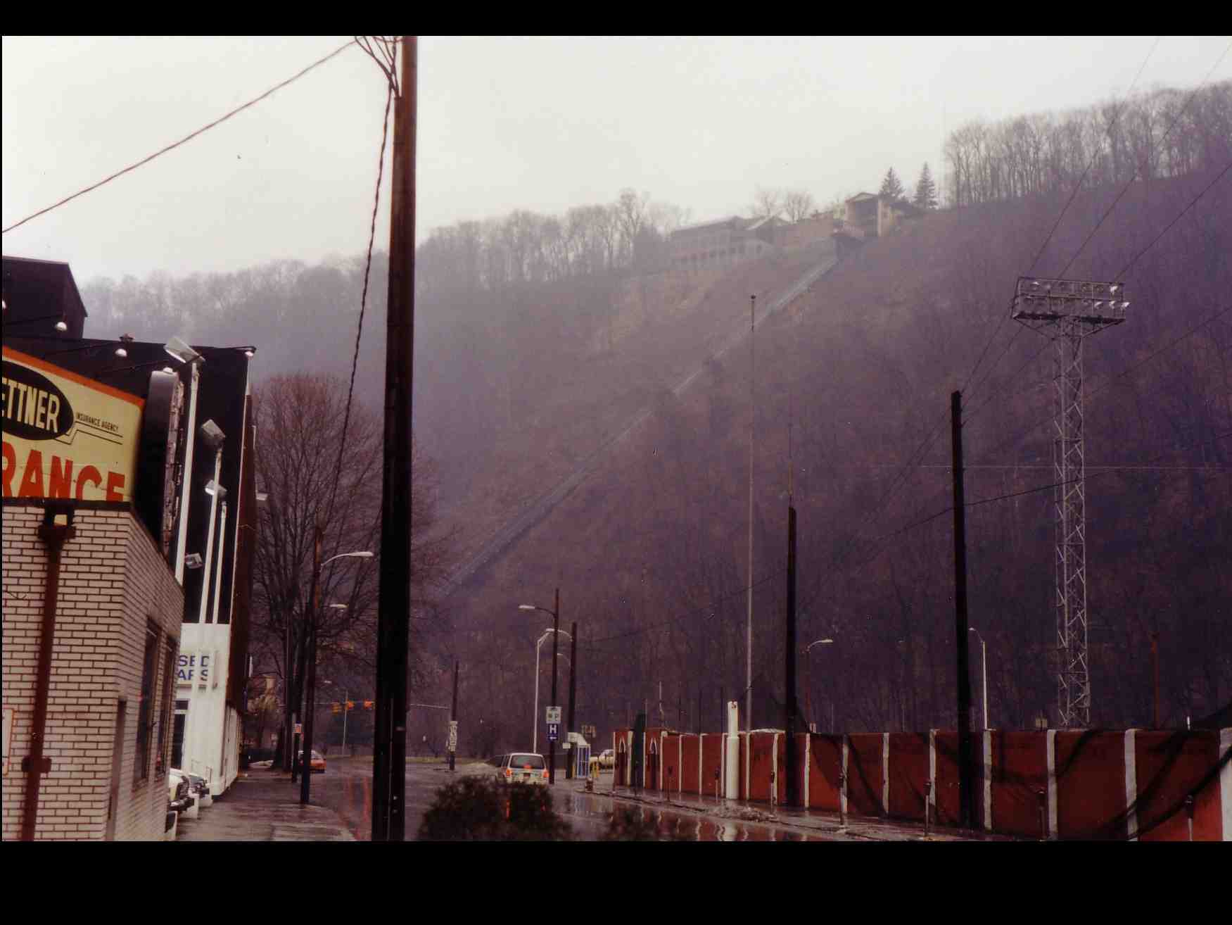
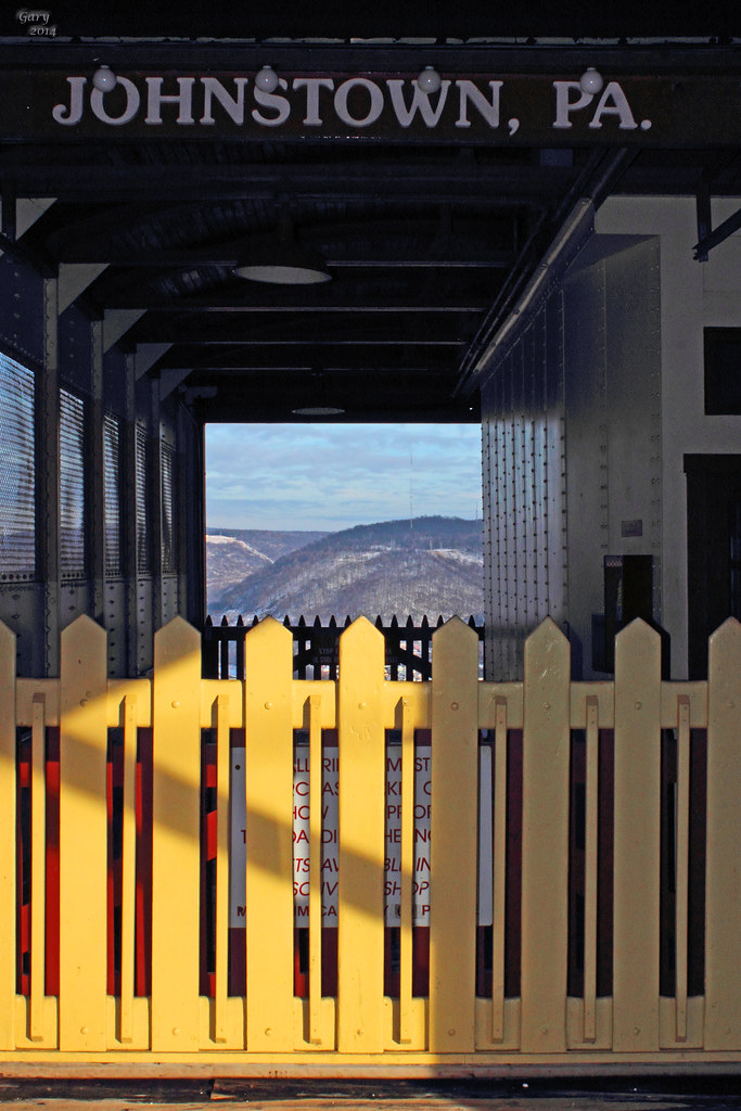
Johnstown Inclined Plane PA

My own Mail Pouch barn!
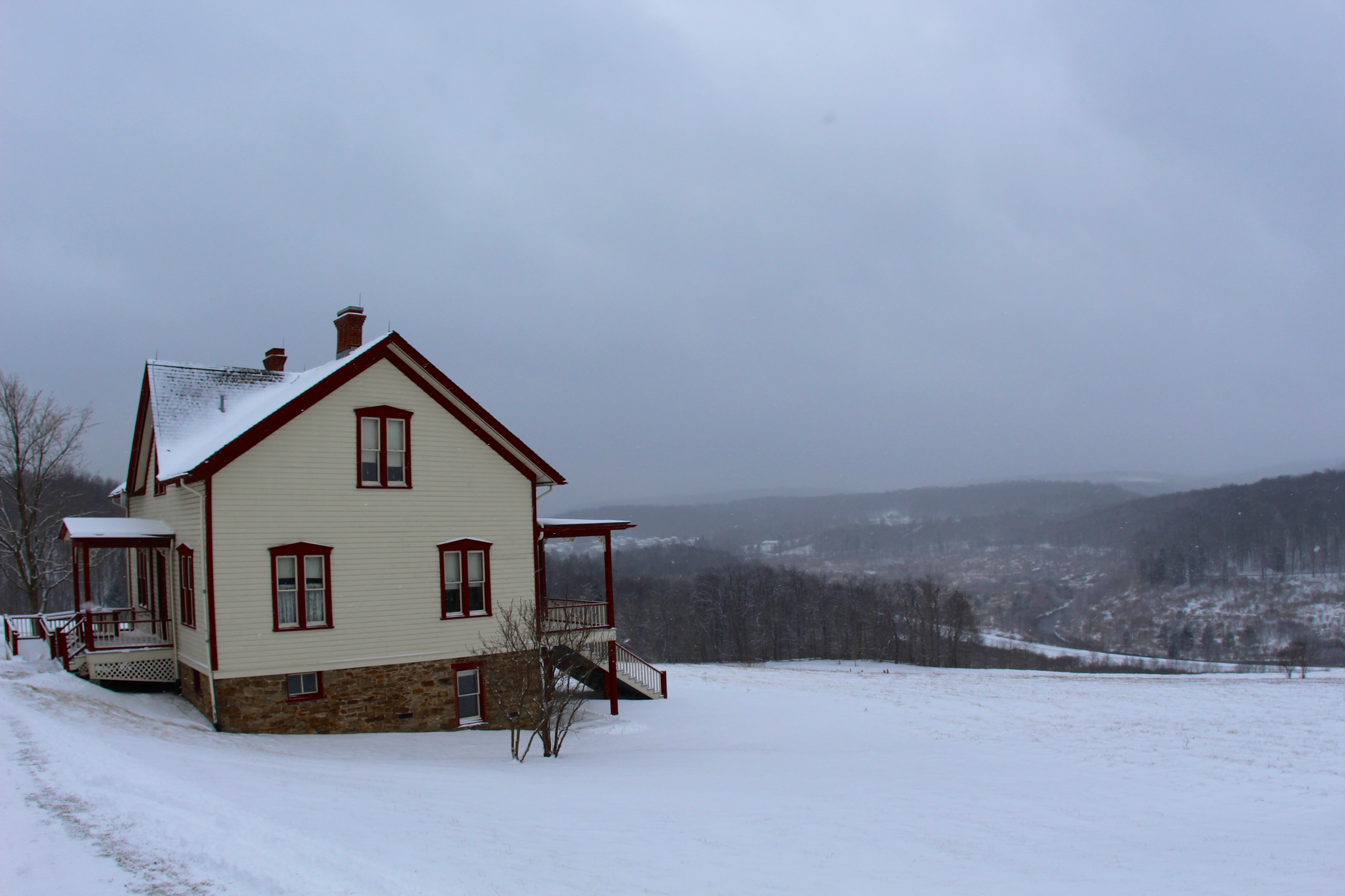
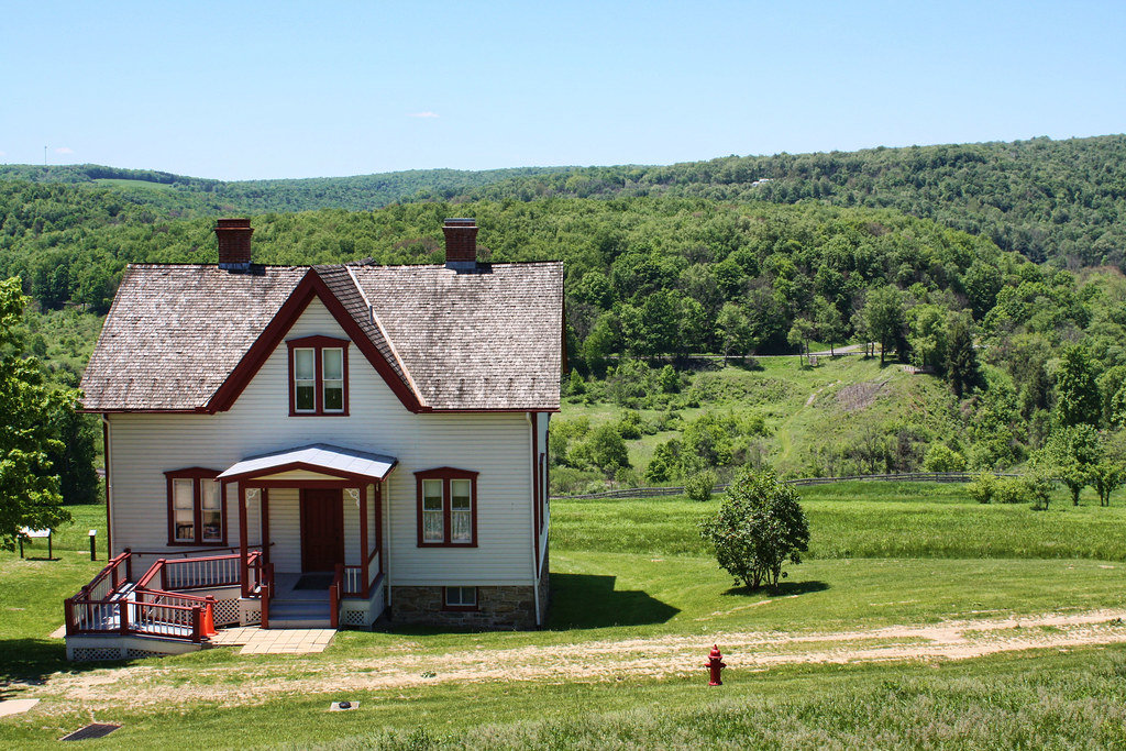
The Unger House

Summerhill from the Hill

Shaffer Bridge -- Somerset County, Pennsylvania

View form the top, The Johnstown Inclined Plane

American Crow - Johnstown, Pennsylvania
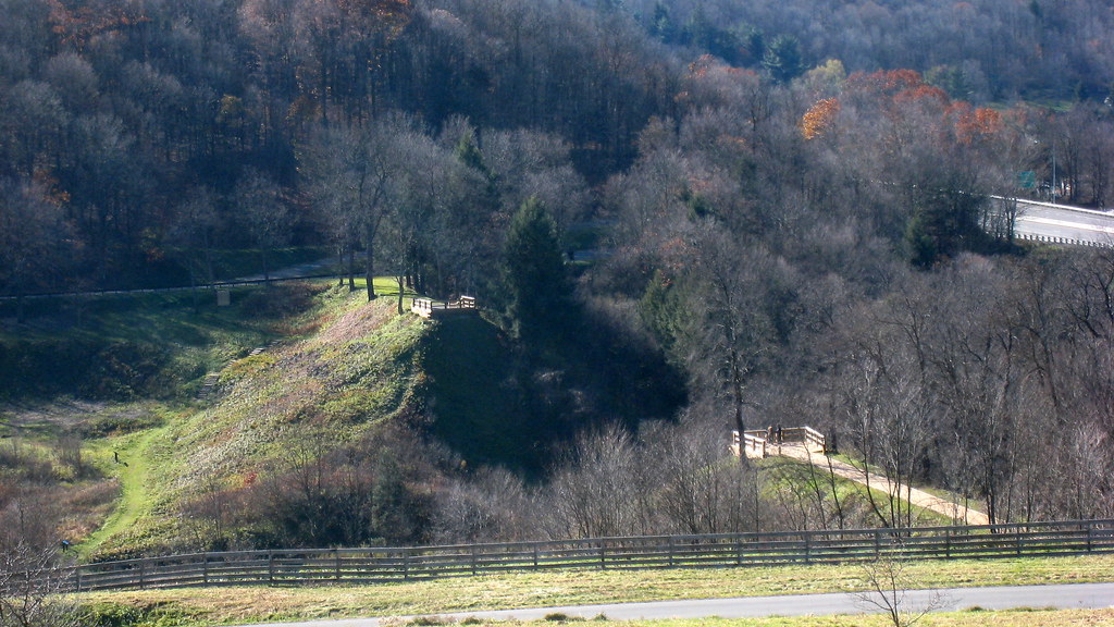
Johnstown Flood National Memorial

Two views at once

what a view!

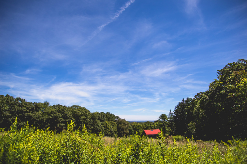
South Fork Valley
A View of the Mountains...
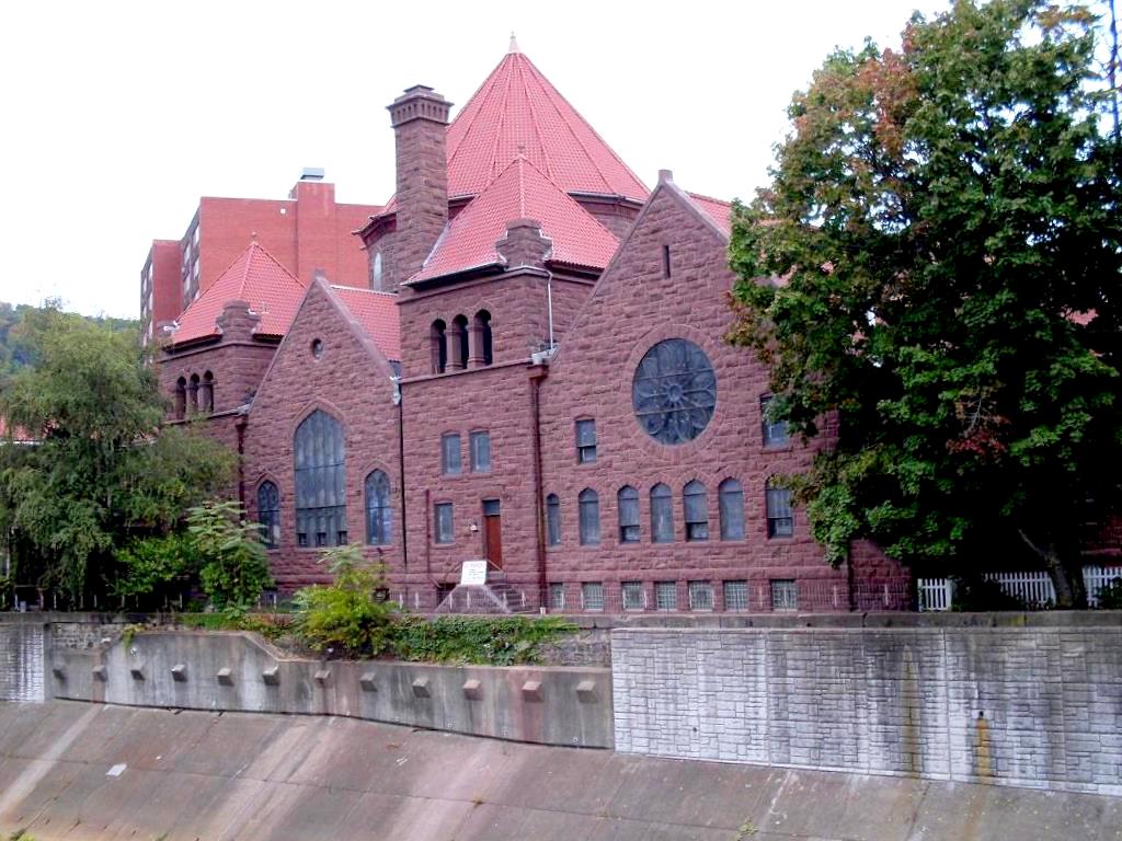
Johnstown, PA-- First United Methodist Church, 1910

Shaffer Bridge -- Somerset County, Pennsylvania
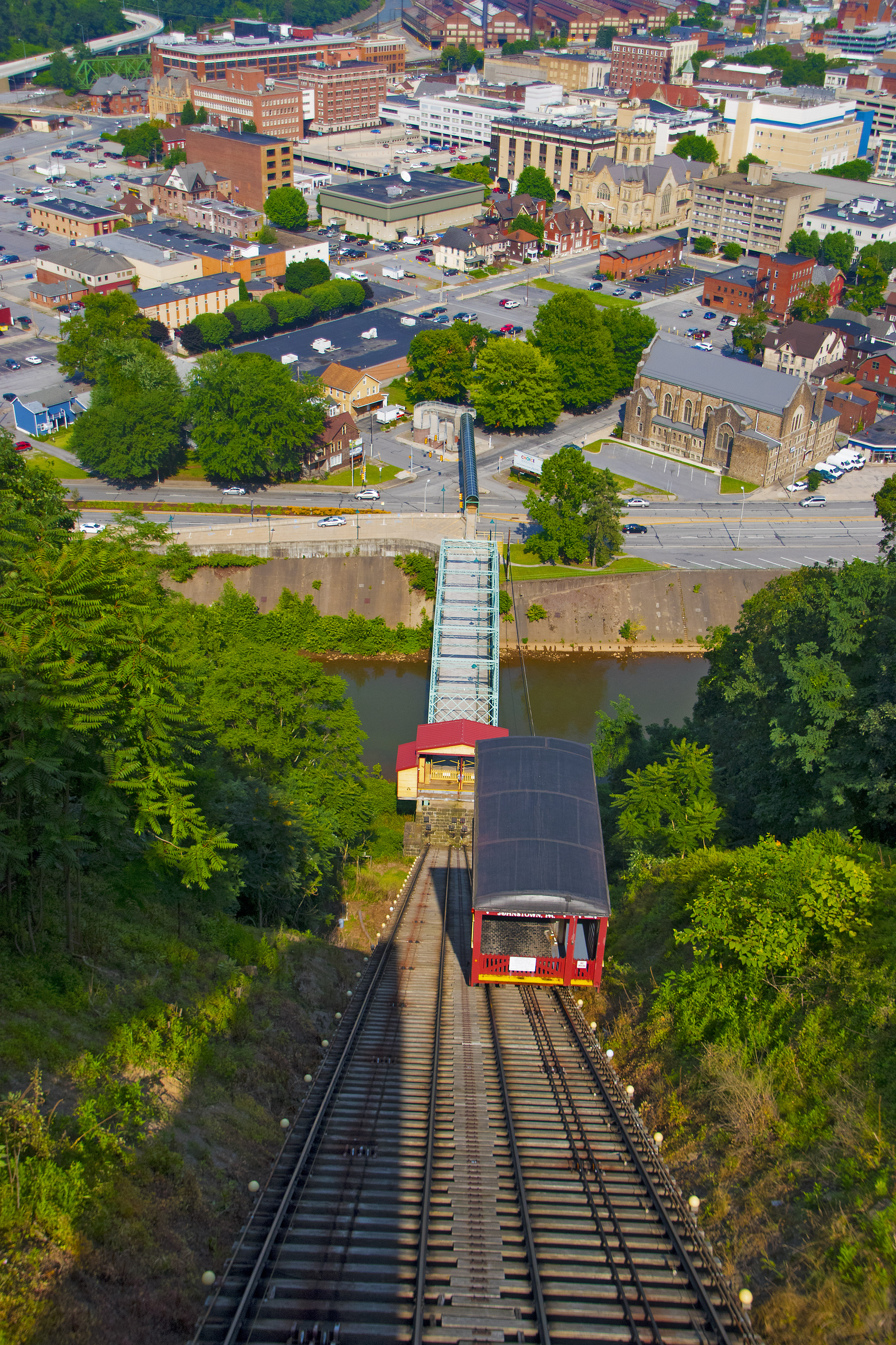
View of Johnstown (PA) from the Inclined Plane August 2017

Inclined Plane Car And Side View Johnstown (PA) August 2017

Not Your Usual PRR Bridge Pt. 1

White-winged Crossbill
Green, and Blue
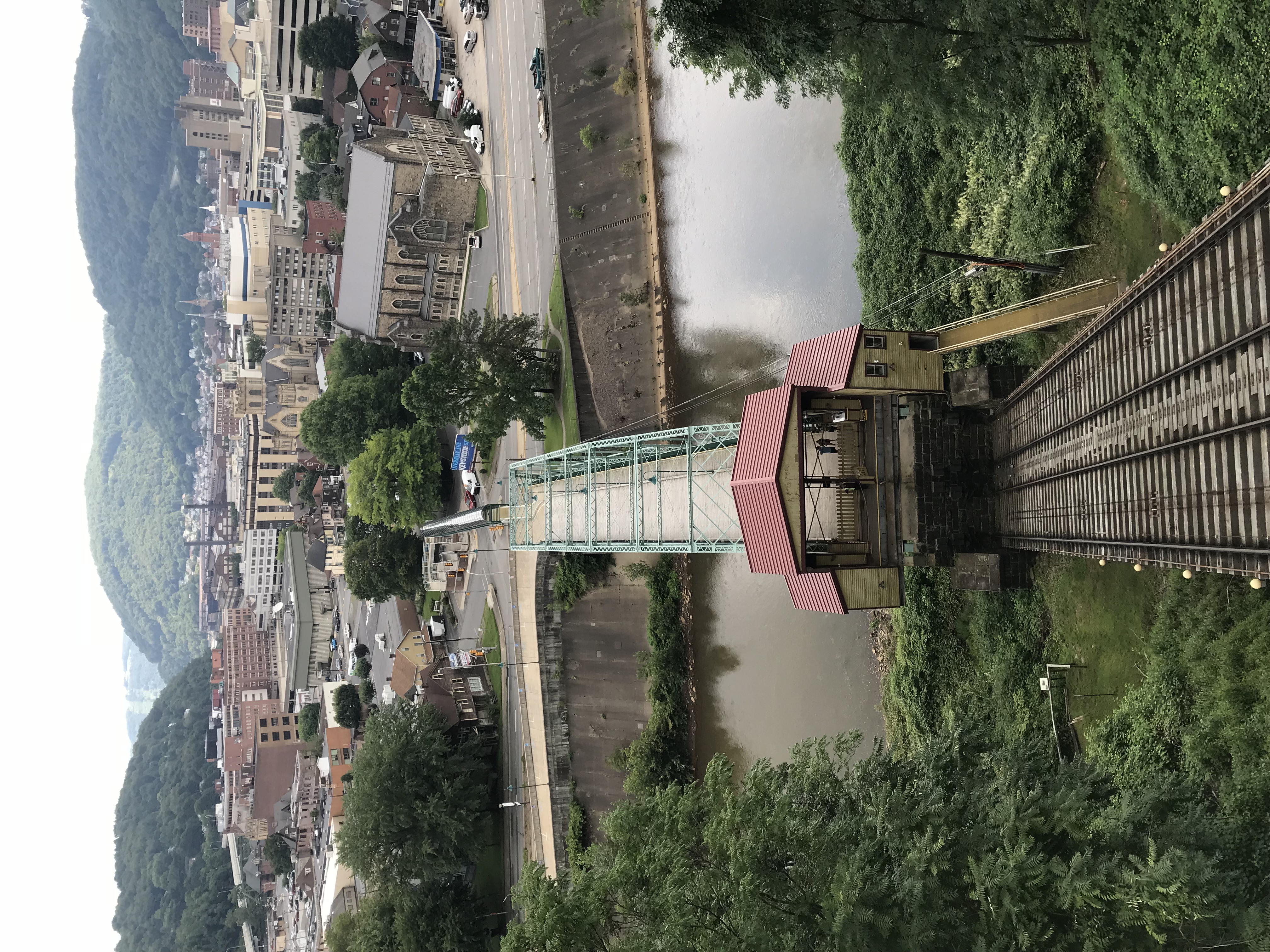
Photo Aug 10, 12 01 07 (2)
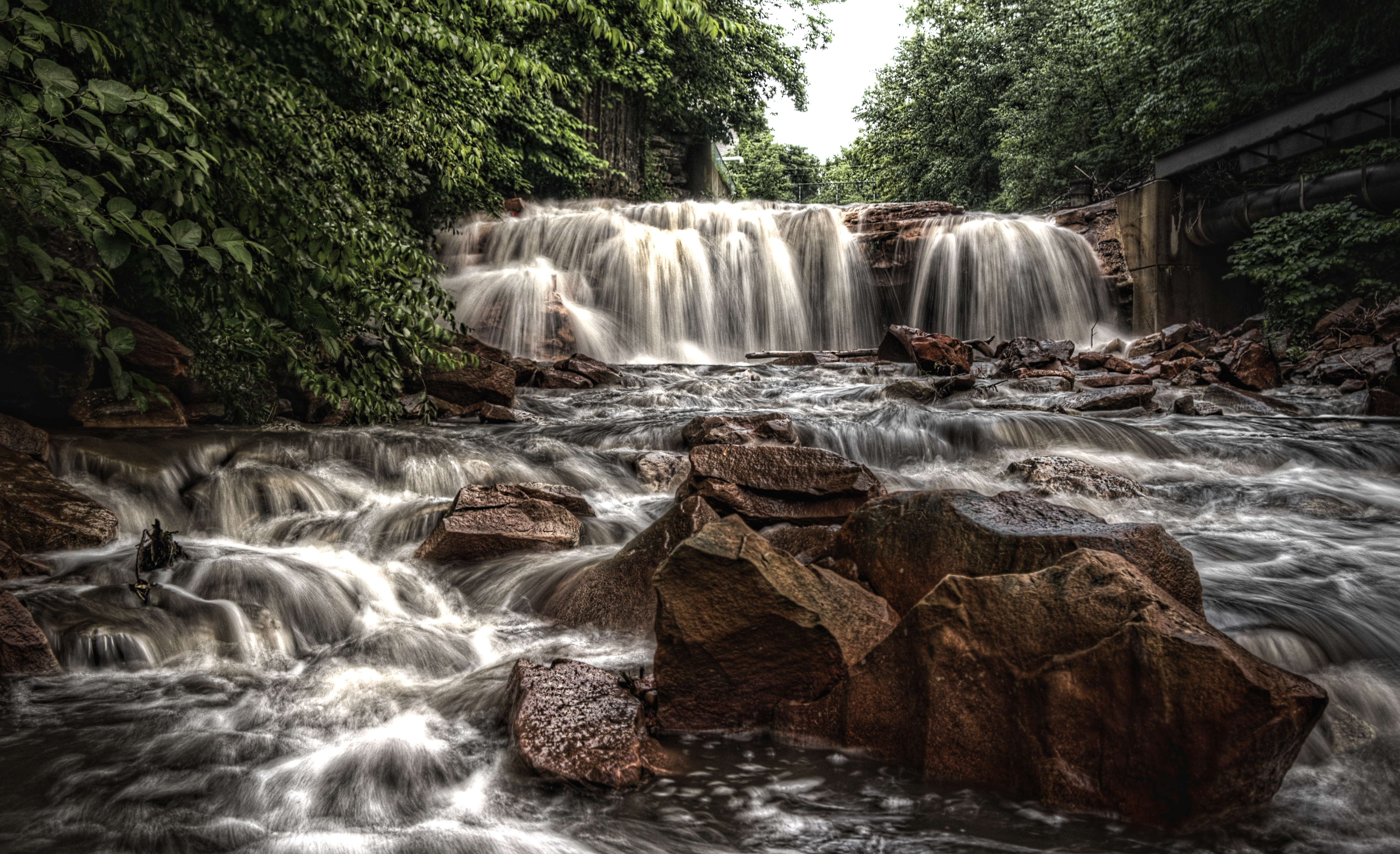
Paint Falls

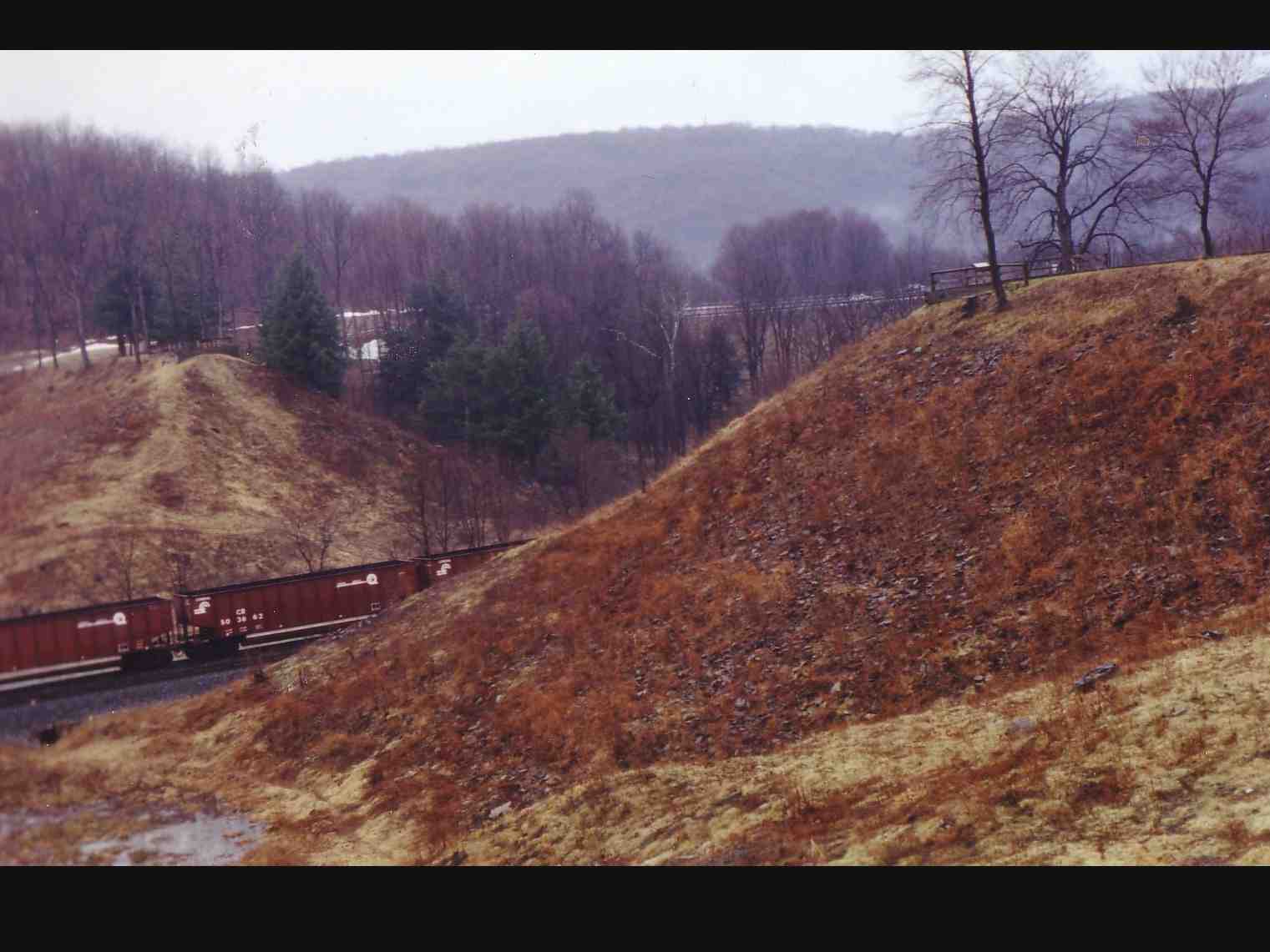
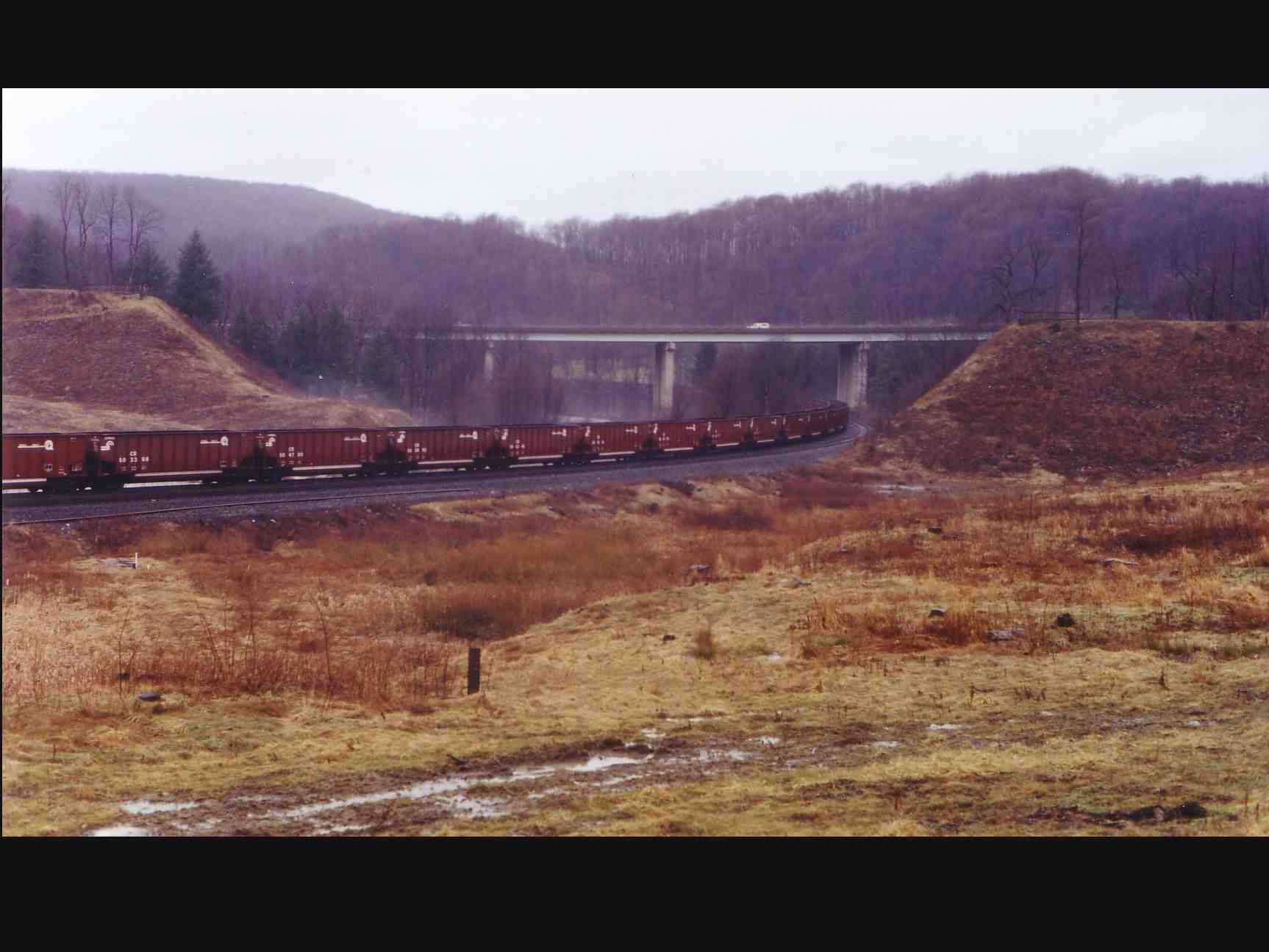
Sang Hollow Extension
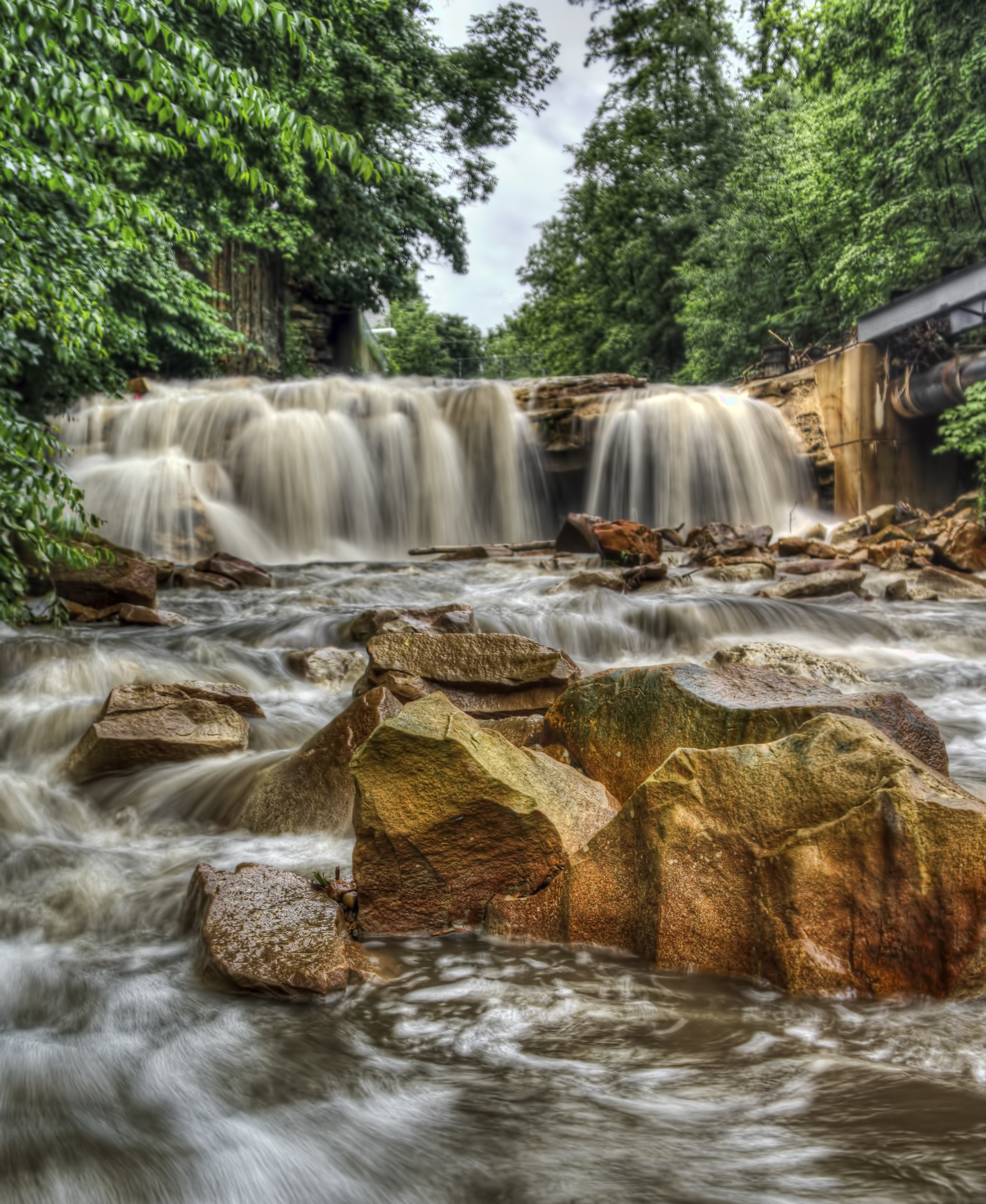
Paint Falls
Johnstown Flood NM PA 3
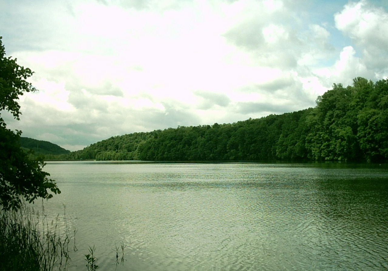
Hinckston Run Reservoir
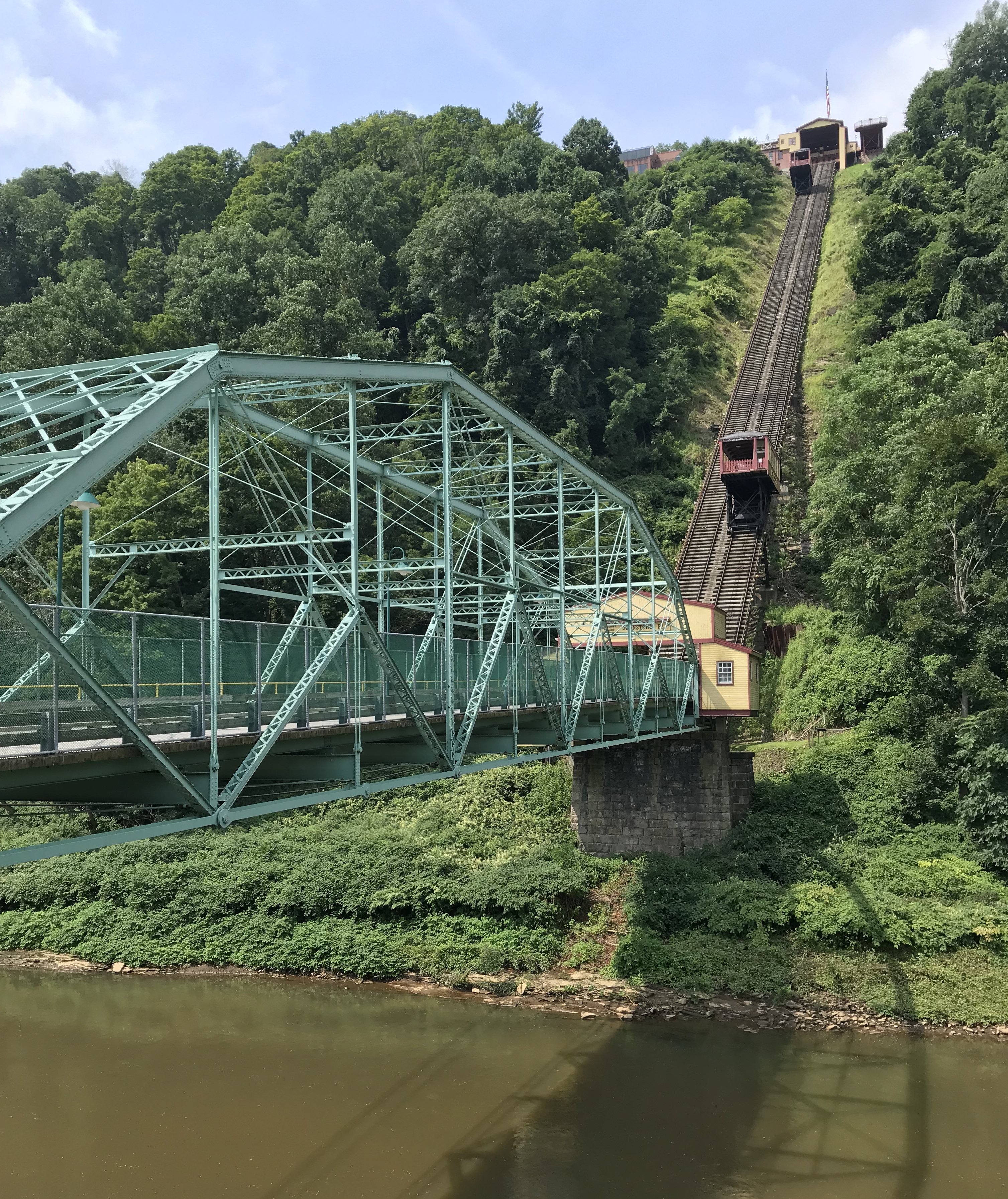
Photo Aug 10, 11 49 55 (1)

Photo Aug 10, 12 02 36 (1)
Johnstown Flood NM PA 1

Paint Falls Side Waterfall
Looking out at johnstown pa
South Fork Dam
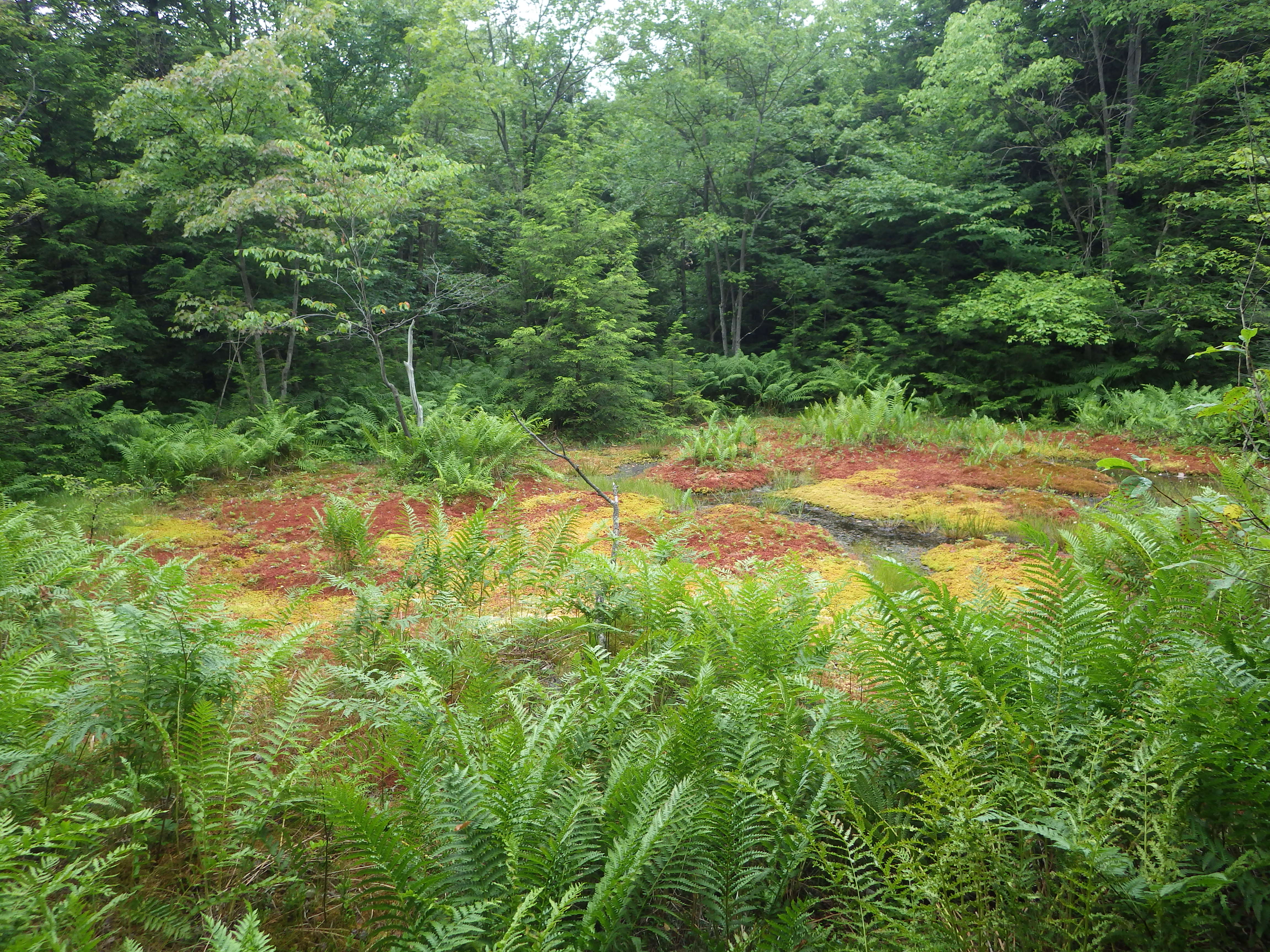
red boglet_1
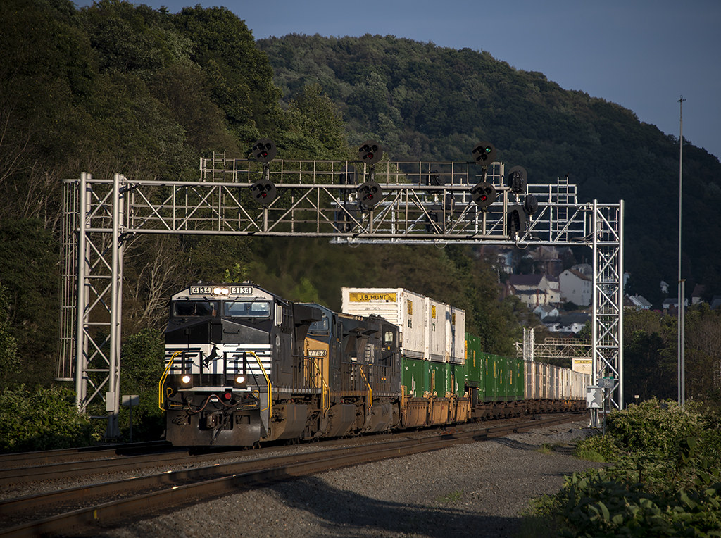
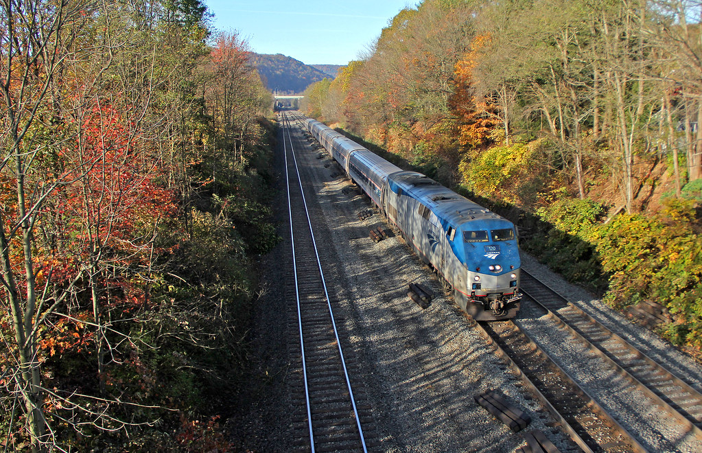
NS 25Z at South Fork, Pennsylvania on August 29, 2018
Headed for New York

Quemahoning Dam
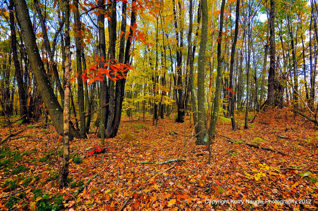
Fall leaves 2012

Such a beautiful town...been destroyed 3x by floods. We visited the Flood Museum and the site where the damn was today. Pretty tragic but very insightful. #JohnstownPA #JohnstownFlood
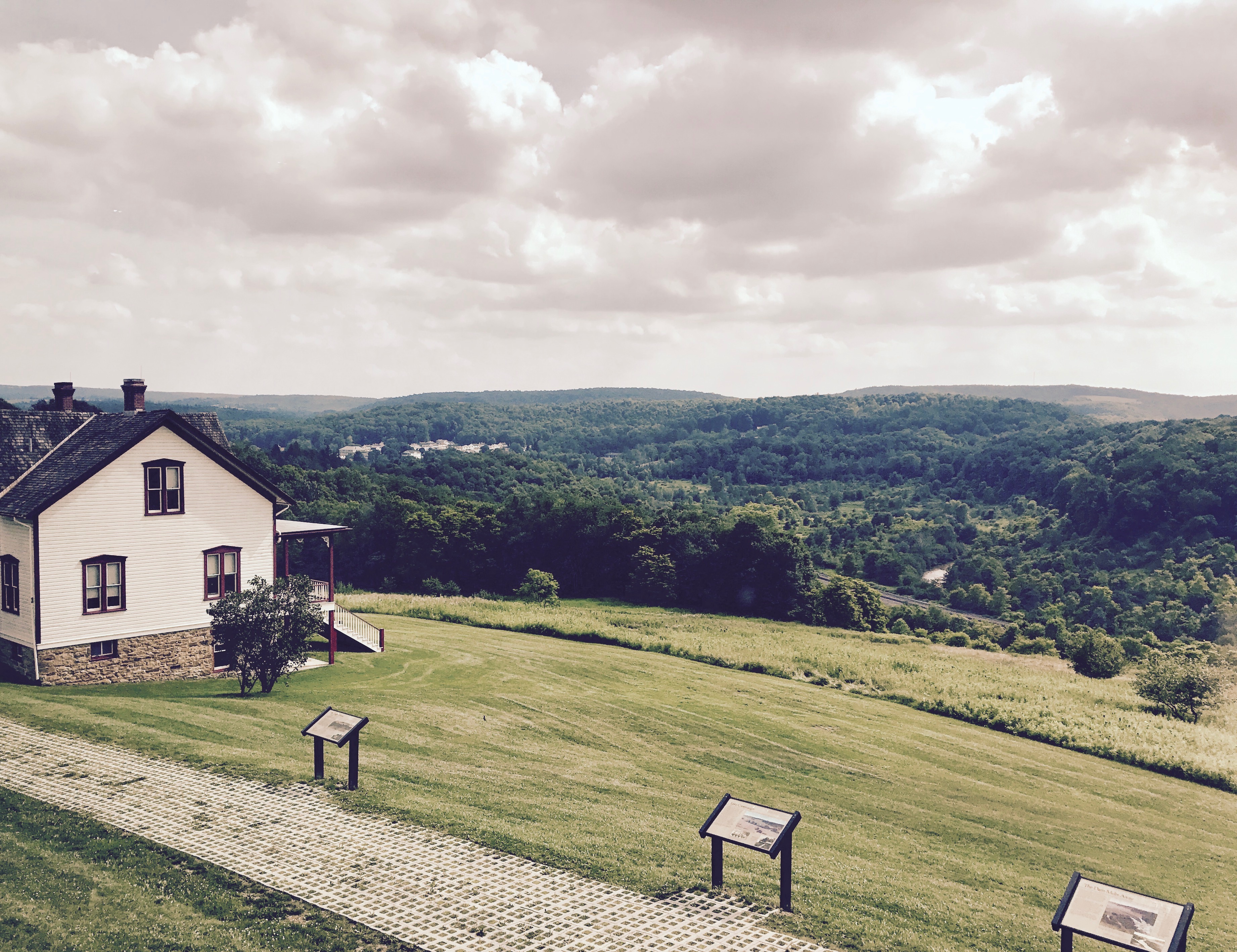
Unger House and What was Once Lake Conemaugh, Johnstown Flood Memorial, South Fork, Pennsylvania, July 2017
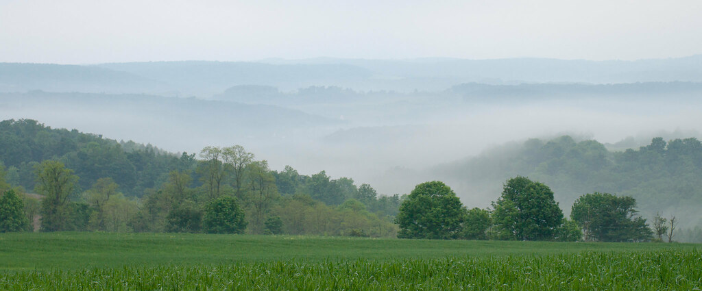
June fog
Topographic Map of Schoolhouse Rd, Johnstown, PA, USA
Find elevation by address:

Places near Schoolhouse Rd, Johnstown, PA, USA:
101 Community College Way
104 Crawford Ln
211 Industrial Park Rd
200 Main St
128 Industrial Park Rd
Richland
Jari Drive
169 Jari Dr
428 Luther Rd
1200 Scalp Ave
1215 Lenore St
Galleria Drive
134 Windsor Dr
Elton
130 Allison Dr
713 Scalp Ave
111 Melvin St
111 Melvin St
Scalp Ave, Johnstown, PA, USA
679 Galleria Dr
Recent Searches:
- Elevation of Corso Fratelli Cairoli, 35, Macerata MC, Italy
- Elevation of Tallevast Rd, Sarasota, FL, USA
- Elevation of 4th St E, Sonoma, CA, USA
- Elevation of Black Hollow Rd, Pennsdale, PA, USA
- Elevation of Oakland Ave, Williamsport, PA, USA
- Elevation of Pedrógão Grande, Portugal
- Elevation of Klee Dr, Martinsburg, WV, USA
- Elevation of Via Roma, Pieranica CR, Italy
- Elevation of Tavkvetili Mountain, Georgia
- Elevation of Hartfords Bluff Cir, Mt Pleasant, SC, USA