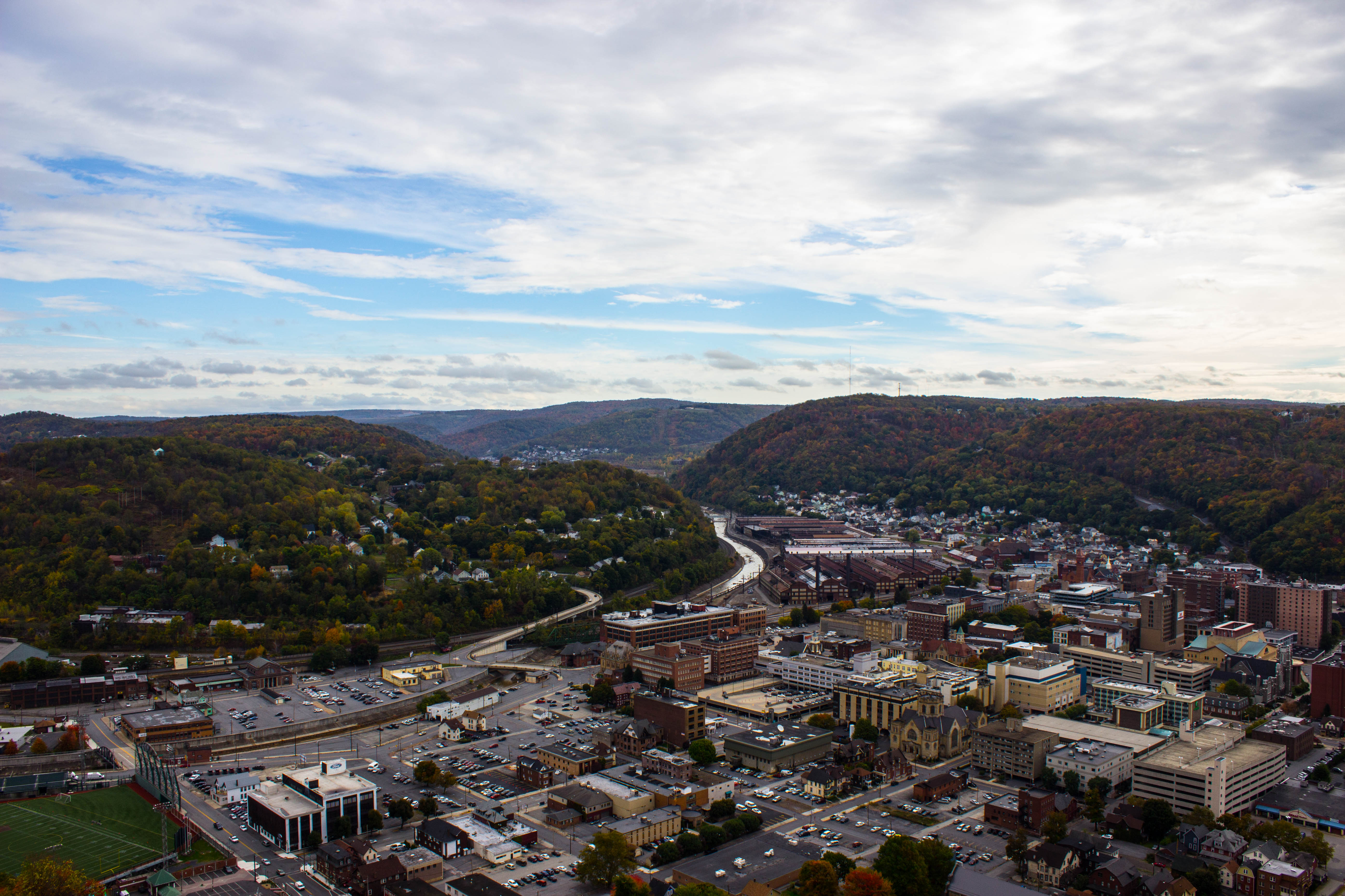
Elevation of Main St, Johnstown, PA, USA

Location: United States > Pennsylvania > Cambria County > Johnstown >

Longitude: -78.848398

Latitude: 40.258335

Elevation: 602m / 1975feet

Barometric Pressure: 94KPa

Elevation Map:

elevation map of Main St, Johnstown, PA, USA

Satellite Map:

Satellite map of Main St, Johnstown, PA, USA

Related Photos:

hybrid sct dlsr refractor ngc2264 conenebula Astrometrydotnet:status=solved Astrometrydotnet:version=14400 qhy9m Astrometrydotnet:id=alpha20130233422578
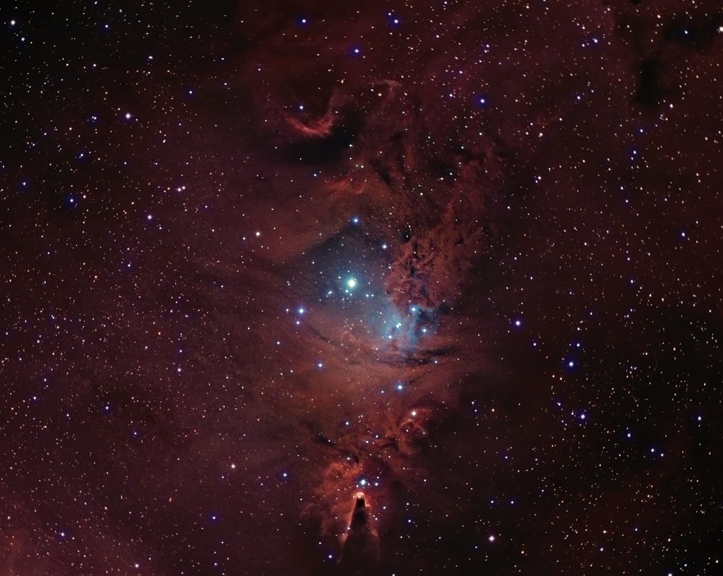
NGC 2264 CCD/DSLR Hybrid V2
sky night canon stars star space cluster lagoon sagittarius telescope nebula astrophotography orion m8 astronomy t3 dslr messier deepspace 1100 t3i refractor 102mm 600d nebulosity Astrometrydotnet:status=solved messier8 Astrometrydotnet:version=14400 Astrometrydotnet:id=alpha20120604384780
M 08 The Lagoon Nebula
1889 johnstown flood disaster cityinruins postcard pennsylvania vintage
Johnstown Flood, 1889 - View of the City After the Flood - Johnstown, Pennsylvania
county sign barn photo mail pentax jill pennsylvania farm picture nostalgia pa pouch americana chew cambria tobacco johnstown chewmailpouchtobacco treatyourselftothebest k10d gontkovic 0834ed1
My own Mail Pouch barn!
house snow unger johnstownflood
The Unger House
county bridge snow tree photo pentax pennsylvania picture somerset historic pa covered coveredbridge township johnstown truss shaffer twp conemaugh 5641 burrarch k10d benscreek
Shaffer Bridge -- Somerset County, Pennsylvania
johnstownpa inclinedplane pennsylvania pa johnstownpennsylvania inclined warehouse industrial inclinetracks cityofjohnstown
Stone Arch Bridge, Warehouse and Industrial area in Johnstown Pennsylvania
ns norfolksouthern pittsburghline pennsy pennsylvania positionlight signal signalbridge sunset silhouette summerhill railroad
LAST CALL
A stumped view.
county sky tree bird silhouette clouds photo published pentax pennsylvania profile picture pa crow cambria nowpublic johnstown corvusbrachyrhynchos americancrow k10d
American Crow - Johnstown, Pennsylvania
Astrometrydotnet:status=solved Astrometrydotnet:version=14400 Astrometrydotnet:id=alpha20120978619329
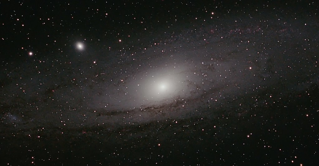
M 31 The Andromeda Galaxy
pennsylvania pa johnstownpa inclined inclinedplane johnstownpennsylvania cityofjohnstown inclinetracks
View form the top, The Johnstown Inclined Plane
nps pennsylvania nationalmemorial johnstownflood
Johnstown Flood National Memorial
pennsylvania pa johnstownpa inclinedplane cambriacounty cambriaironcompany viewfromthetopoftheinclinedplane cambriasteelco
Johnstown Pennsylvania, Cambria Iron Company
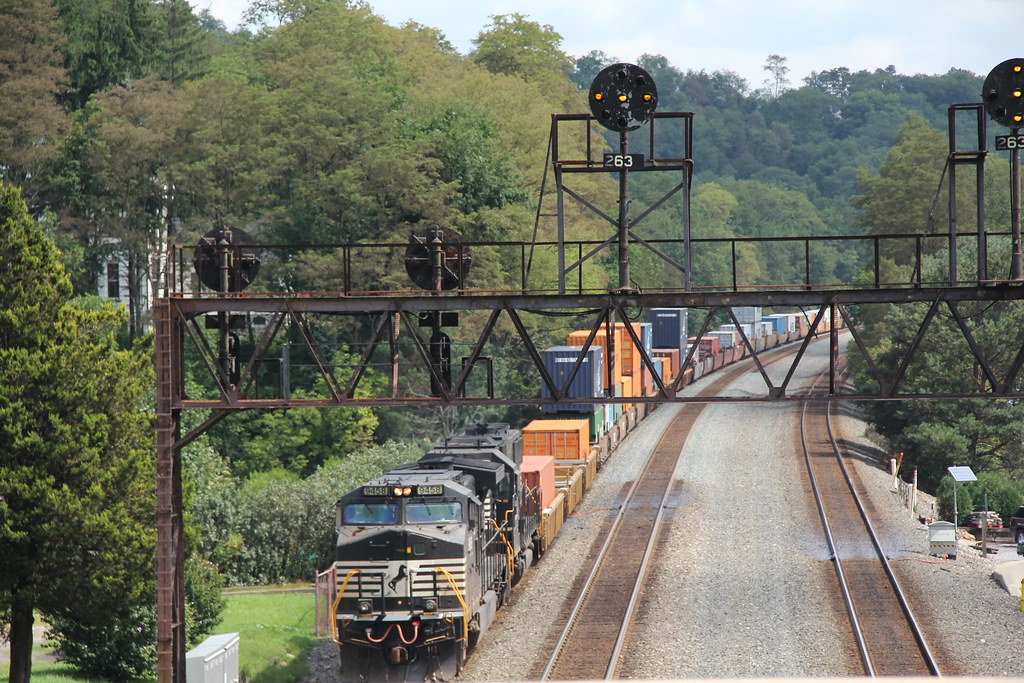
norfolksouthern ns9458
NS in Summerhill: 7
Conemaugh & Black Lick #116 Johnstown, Pennsylvania
unitedstates pennsylvania johnstown
Two views at once
county bridge snow tree photo pentax pennsylvania picture somerset historic pa covered township johnstown truss shaffer twp conemaugh 5673 burrarch k10d benscreek
Shaffer Bridge -- Somerset County, Pennsylvania
A View of the Mountains...
tower church architecture religious sandstone flood pennsylvania religion gothic methodist roofline johnstown merger unitedmethodist rosewindow brethren richardsonianromanesque nationalregister cambriacounty nrhp evangelicalunitedbrethren akronplan
Johnstown, PA-- First United Methodist Church, 1910
pennsylvania johnstown incline
Johnstown Inclined Plane
train trains emd sw7 locomotive switching shortline short line urbna steel mill rails sunrise snow cold shop conemaugh black lick cbl 104 johnstown pa pennsylvania
The Yellow Switcher
clouds unitedstates pennsylvania sunny bluesky johnstown
Green, and Blue
monongahela heritage unit mga 8025 summerhill west slope 776 ns norfolk southern railroad trains locomotives pittsburgh line cambria county transportation outside scenic scenery landscape georgeneat patriotportraits neatroadtrips prr signal bridge
NS 776 with MGA
water waterfall rocks paint waterfalls 1855mm hdr topaz photomatix mirrorless hdrextremes hdraddicted flickhdr sonyphotographing sonynex5n paintfalls
Paint Falls
pennsylvania johnstown flood 1889 cityinruins postcard vintage
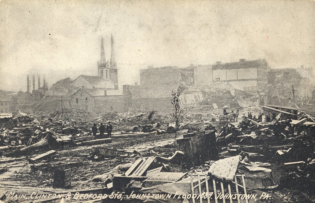
Johnstown Flood, 1889 - Main, Clinton & Bedford Streets - Johnstown, Pennsylvania
bridge plane buildings landscape town site flood pennsylvania small tourist pa incline johnstown
Looking out at johnstown pa
water rock waterfall rocks 1855mm hdr photomatix mirrorless hdrextremes hdraddicted flickhdr sonynex5n paintfalls
Paint Falls Side Waterfall
pennsylvania nationalmemorial saintmichael nationalregister nationalregisterofhistoricplaces cambriacounty johnstownfloodnationalmemorial southforkdam
Johnstown Flood NM PA 1
railroad usa pennsylvania southfork johnstownflood johnstownfloodnationalmemorial lakeconemaugh littleconemaughriver southforkcreek
Close View of the failed South Fork Dam
Unger House and What was Once Lake Conemaugh, Johnstown Flood Memorial, South Fork, Pennsylvania, July 2017
Johnstown Inclined Plane
bridge plane buildings landscape town site flood pennsylvania small tourist pa incline johnstown
Looking up at the incline plane
bridge plane buildings landscape town site flood pennsylvania small tourist pa incline johnstown
small town
Blue skies of Pennsylvania.
2019 america americana appalachia cambriacounty coalcountry dreary factoryvalleys fronterastudio johnstown lookingatappalachia milltown pennsylvania postindustrial rain rural rustbelt snow sociallandscape travel westernpa unitedstatesofamerica
.
Morning Light in Pennsylvania.
nspittsburghline ns25z ns4134 geac44c6m
NS 25Z at South Fork, Pennsylvania on August 29, 2018
2019 america americana appalachia cambriacounty coalcountry dreary factoryvalleys fronterastudio johnstown lookingatappalachia milltown pennsylvania postindustrial rain rural rustbelt snow sociallandscape travel unitedstatesofamerica
.
water rock waterfall rocks 1855mm hdr photomatix mirrorless hdrextremes hdraddicted flickhdr sonynex5n paintfalls
Paint Falls
15909 usa ns eastconemaugh pa places johnstown pennsylvania unitedstates us
Horse Shoe Curve Trip-033
pennsylvania johnstown inclinedplane
Johnstown, PA