Elevation of John Murtha Johnstown-Cambria County Airport, Airport Rd, Johnstown, PA, USA
Location: United States > Pennsylvania > Cambria County > Johnstown >
Longitude: -78.832774
Latitude: 40.3201493
Elevation: 693m / 2274feet
Barometric Pressure: 93KPa
Elevation Map:
Satellite Map:
Related Photos:

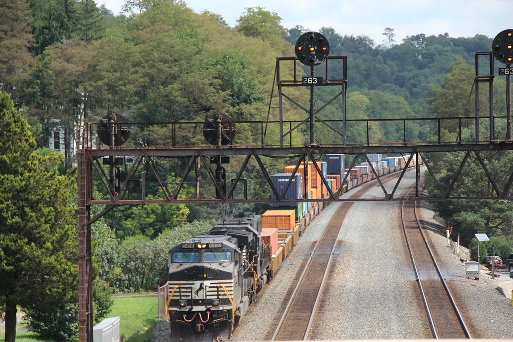
NS 38Q at Portage, Pennsylvania

LAST CALL

Eastbound at Summerhill

Shoving Hard On An Eastbound at South Fork

Johnstown Flood, 1889 - View of the City After the Flood - Johnstown, Pennsylvania
NS in Summerhill: 7

Conemaugh & Black Lick #116 Johnstown, Pennsylvania

My own Mail Pouch barn!

Johnstown, PA-- First United Methodist Church, 1910

Johnstown PA Inclined Plane tracks and a city view

Hubbard's Wire Sewed Folding Delivery Boxes - Minneapolis, Minnesota

View of Johnstown (PA) from the Inclined Plane August 2017
I think I can, I think I can...

Shaffer Bridge -- Somerset County, Pennsylvania

Stone Arch Bridge, Warehouse and Industrial area in Johnstown Pennsylvania

American Crow - Johnstown, Pennsylvania

View form the top, The Johnstown Inclined Plane

Johnstown Flood National Memorial

Johnstown Pennsylvania, Cambria Iron Company

Two views at once

Shaffer Bridge -- Somerset County, Pennsylvania

The Yellow Switcher

.

Green, and Blue

NS 25Z at South Fork, Pennsylvania on August 29, 2018

.

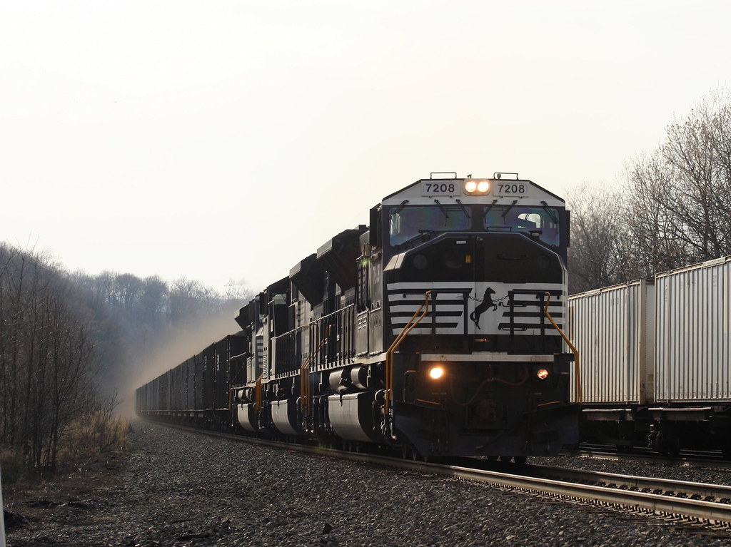
NS 776 with MGA
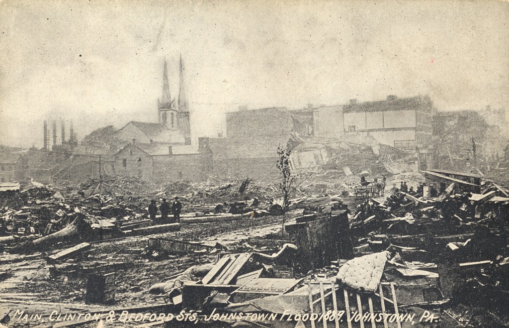
Johnstown Flood, 1889 - Main, Clinton & Bedford Streets - Johnstown, Pennsylvania

June fog

Conemaugh River Quest

Close View of the failed South Fork Dam

Johnstown Flood Dam

Paint Falls

Paint Falls

Across the field

Horse Shoe Curve Trip-033

Johnstown, PA

Summerhill At Spring

One Shot #35 | Field

Fall in Johnstown

The snow, as it dies, gives birth to the fog
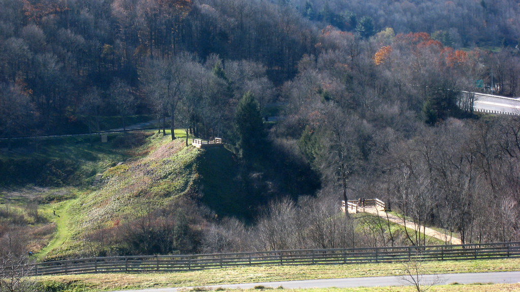
South Fork Dam
Topographic Map of John Murtha Johnstown-Cambria County Airport, Airport Rd, Johnstown, PA, USA
Find elevation by address:

Places near John Murtha Johnstown-Cambria County Airport, Airport Rd, Johnstown, PA, USA:
679 Galleria Dr
Galleria Drive
259 Fifty Acre Rd
Jari Drive
169 Jari Dr
Richland
128 Industrial Park Rd
211 Industrial Park Rd
146 Hollow Rd
146 Hollow Rd
104 Crawford Ln
111 Melvin St
111 Melvin St
423 Walters Ave
428 Luther Rd
713 Scalp Ave
112 Kenzalynne Ln
Scalp Ave, Johnstown, PA, USA
Geistown
Elton
Recent Searches:
- Elevation of Corso Fratelli Cairoli, 35, Macerata MC, Italy
- Elevation of Tallevast Rd, Sarasota, FL, USA
- Elevation of 4th St E, Sonoma, CA, USA
- Elevation of Black Hollow Rd, Pennsdale, PA, USA
- Elevation of Oakland Ave, Williamsport, PA, USA
- Elevation of Pedrógão Grande, Portugal
- Elevation of Klee Dr, Martinsburg, WV, USA
- Elevation of Via Roma, Pieranica CR, Italy
- Elevation of Tavkvetili Mountain, Georgia
- Elevation of Hartfords Bluff Cir, Mt Pleasant, SC, USA