Elevation of ID-55, Cascade, ID, USA
Location: United States > Idaho > Valley County > Cascade >
Longitude: -116.00896
Latitude: 44.3906483
Elevation: 1453m / 4767feet
Barometric Pressure: 85KPa
Elevation Map:
Satellite Map:
Related Photos:
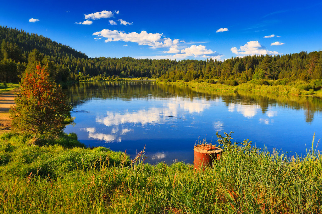
Evening over Smiths Ferry (again)
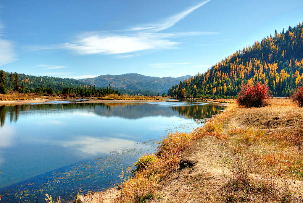
Fall Color
photo(rx2y)

A Cascade summer

Shooting Star (Dodecatheon pulchellum) 02
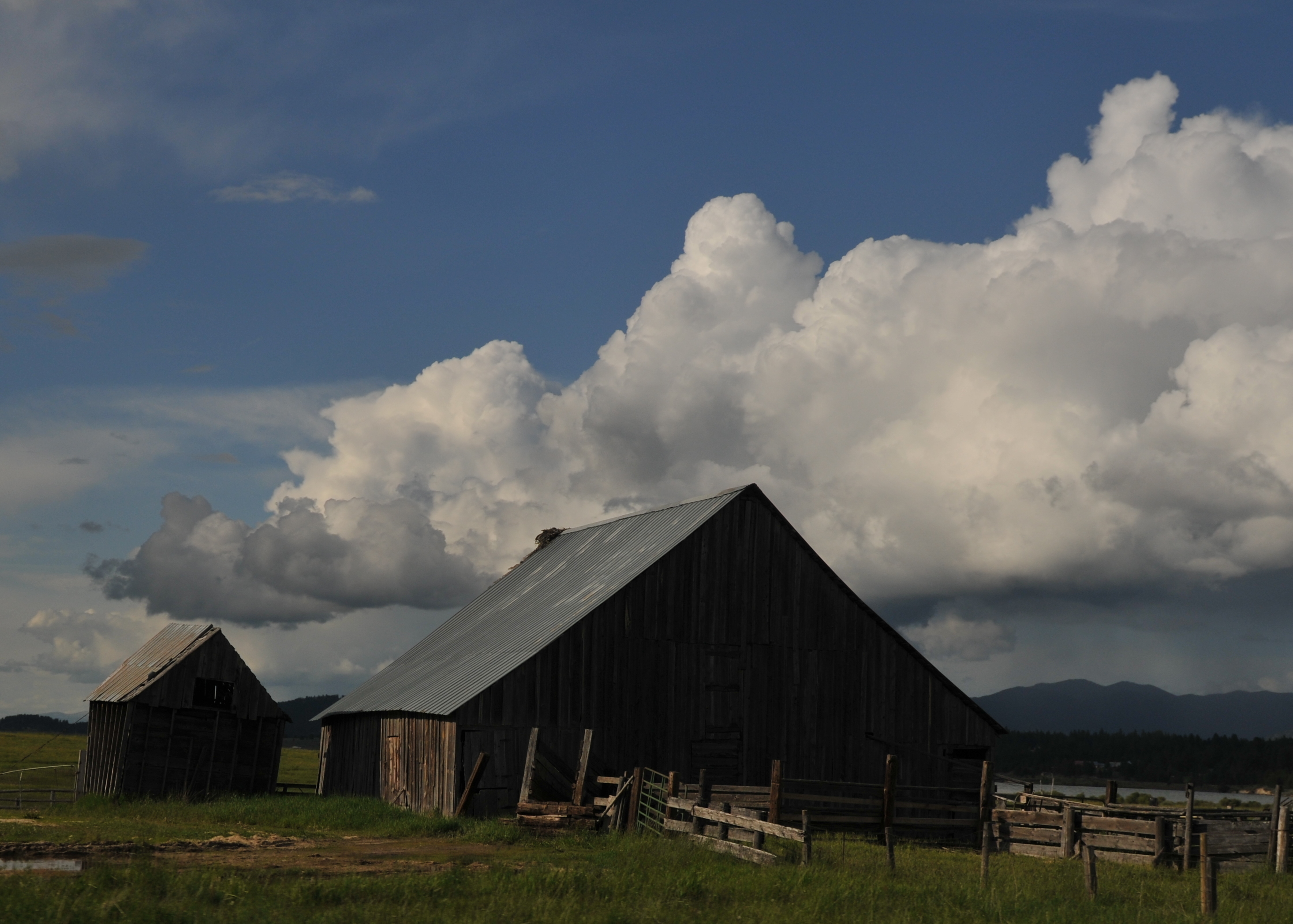
Falling apart

Low lying ground
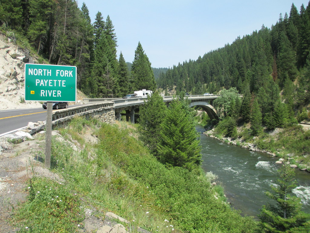
Payette River Scenic Byway (Valley County, Idaho)

Camp 72
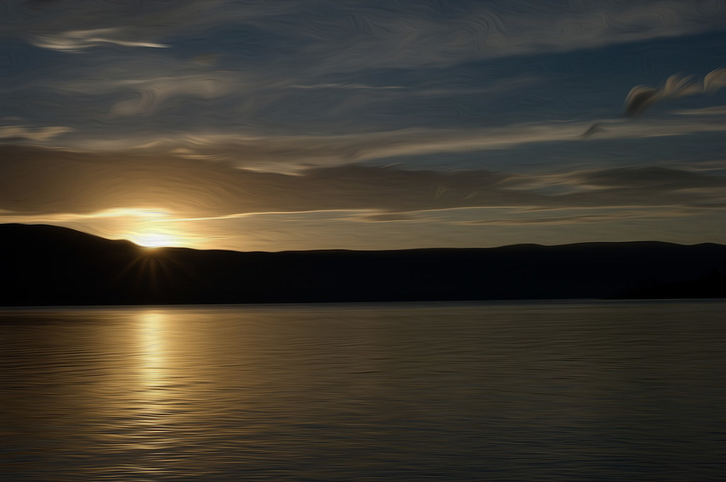
Fading Light

North Fork of the Payette River 2- side stream
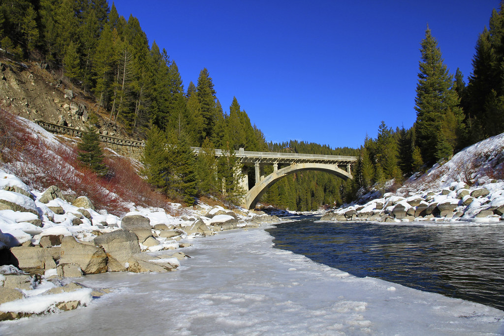
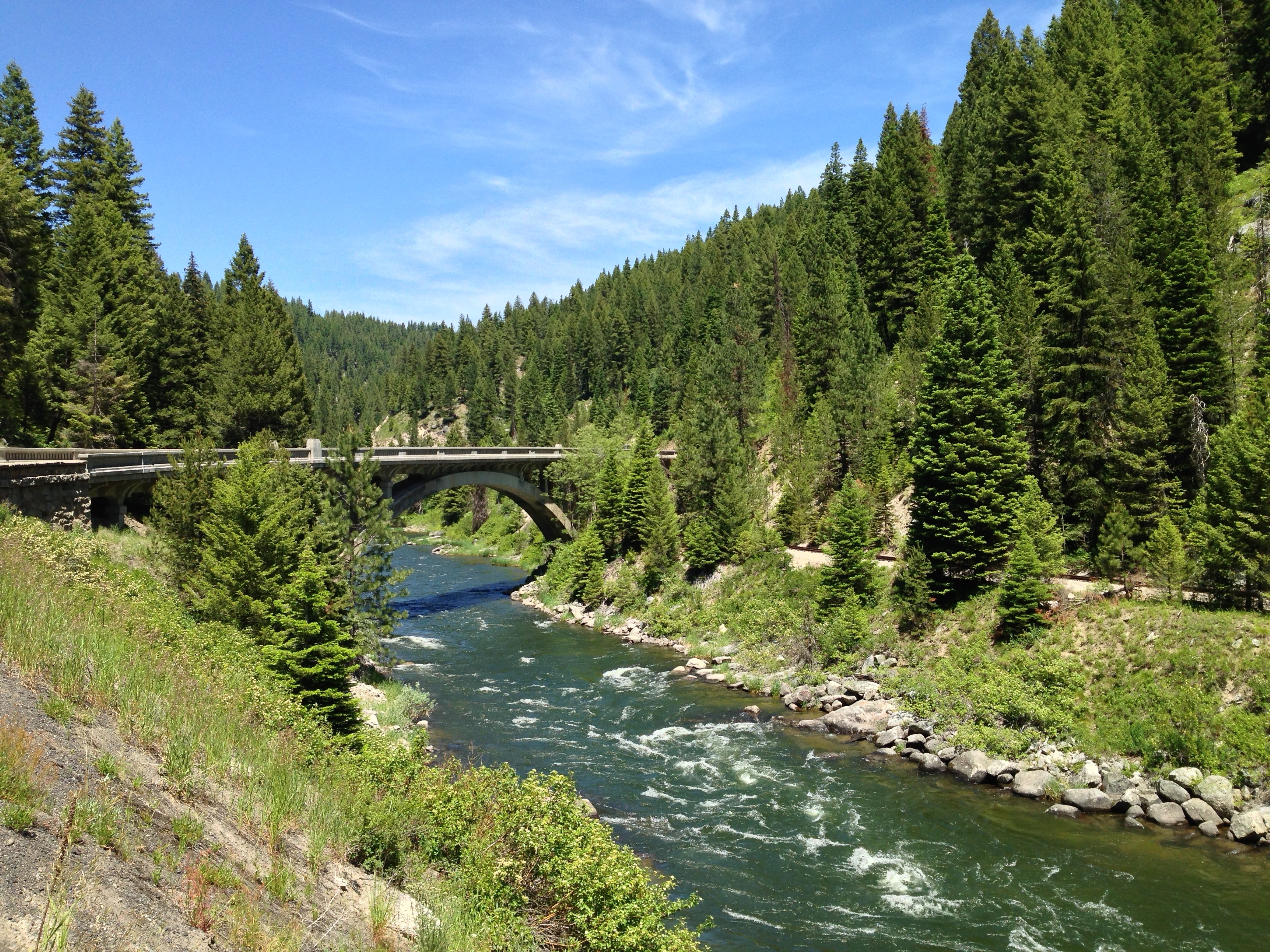
Rainbow Bridge
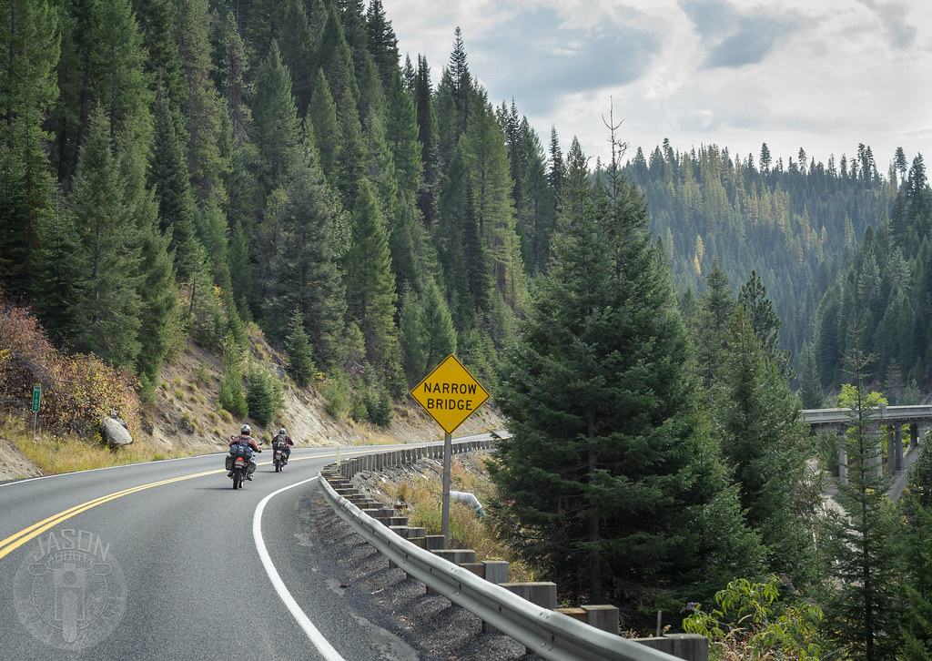
Narrow bridge

Camp 62

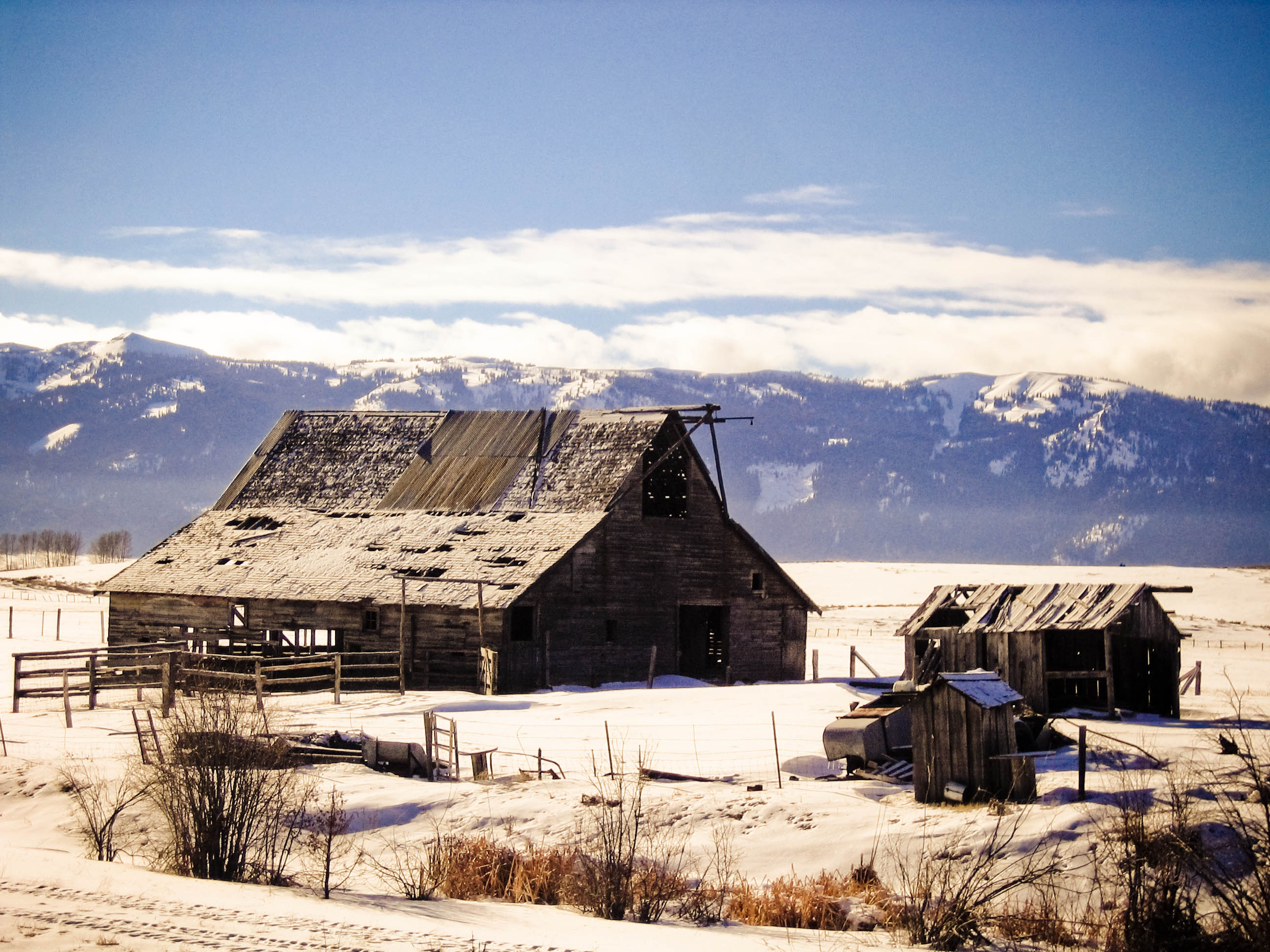
Waiting on the ice
Main Street Bridge
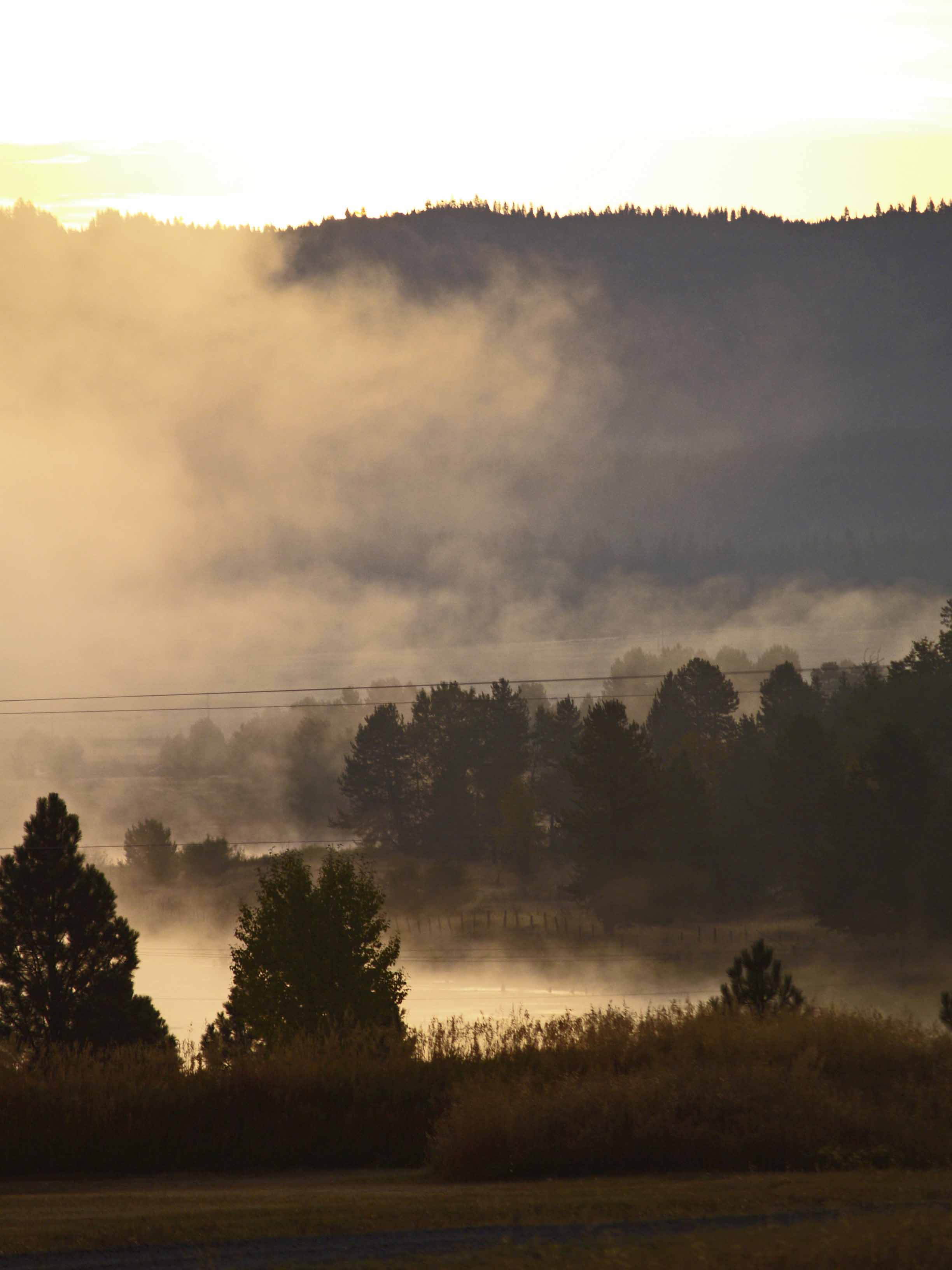
Morning Mist 4 on the North Fork of the Payette River near Cascade ID

2010-07-30_whitefish2_061
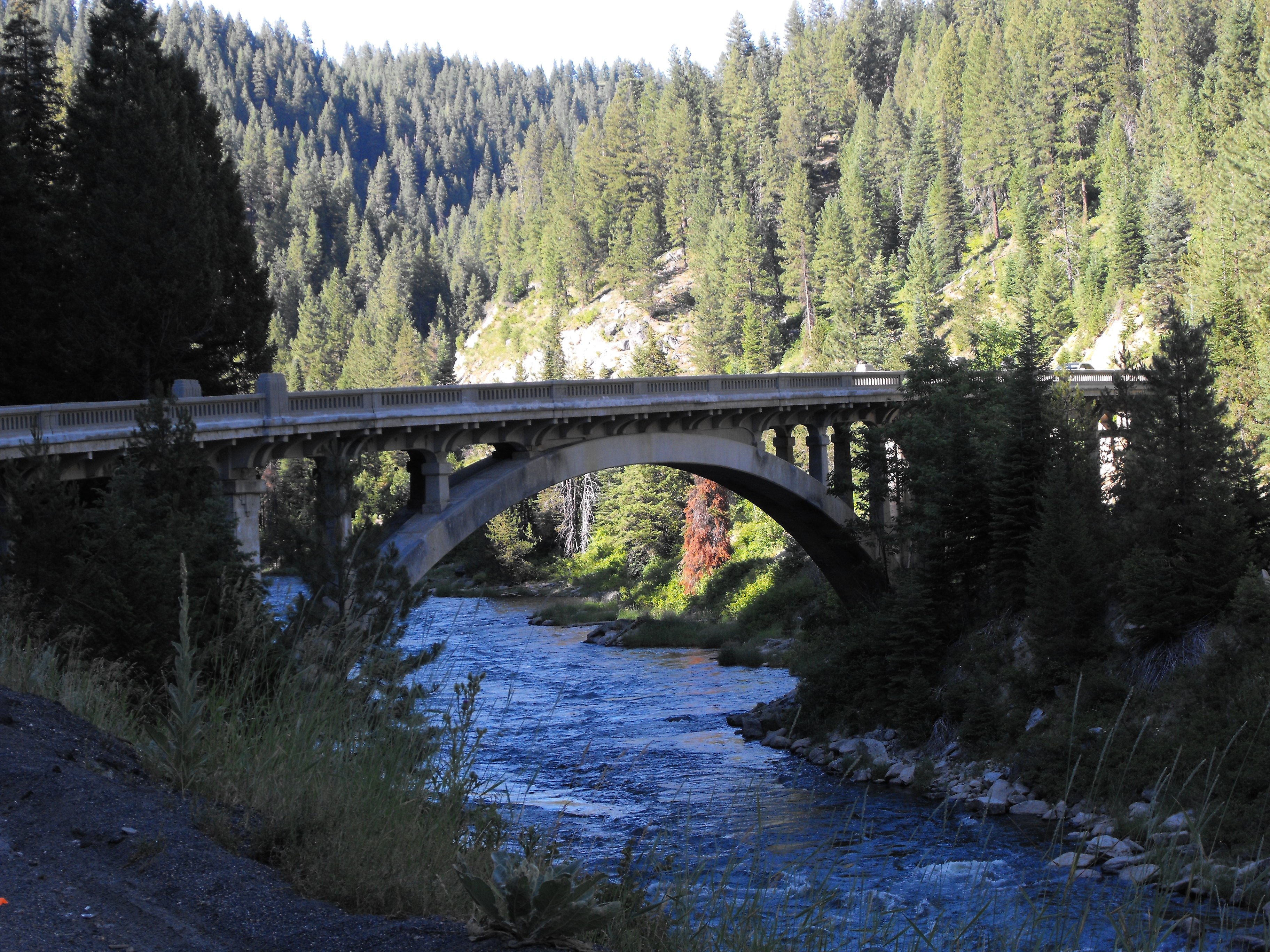
Rainbow Bridge

Big sky country

Meadow and mountain
Topographic Map of ID-55, Cascade, ID, USA
Find elevation by address:

Places near ID-55, Cascade, ID, USA:
90 Goslin Loop
Warner Drive
109 Cabarton Rd
Cascade
Shepherd-the Mountain Lutheran
96 Little Donner Dr
96 Little Donner Dr
690 High Valley Rd
690 High Valley Rd
Forest Trail Road
45 Deer Valley Rd
7 Antler Point
River Meadow Drive
Swinging Bridge Campground
Williams Creek Summit Home Area
138 Valley High Rd
131 Valley High Rd
130 Valley High Rd
63 Valley High Rd
16 Frazier Creek Rd
Recent Searches:
- Elevation of Corso Fratelli Cairoli, 35, Macerata MC, Italy
- Elevation of Tallevast Rd, Sarasota, FL, USA
- Elevation of 4th St E, Sonoma, CA, USA
- Elevation of Black Hollow Rd, Pennsdale, PA, USA
- Elevation of Oakland Ave, Williamsport, PA, USA
- Elevation of Pedrógão Grande, Portugal
- Elevation of Klee Dr, Martinsburg, WV, USA
- Elevation of Via Roma, Pieranica CR, Italy
- Elevation of Tavkvetili Mountain, Georgia
- Elevation of Hartfords Bluff Cir, Mt Pleasant, SC, USA