Elevation of Williams Creek Summit Home Area, ID, USA
Location: United States > Idaho > Valley County >
Longitude: -116.12096
Latitude: 44.1635029
Elevation: 1152m / 3780feet
Barometric Pressure: 88KPa
Elevation Map:
Satellite Map:
Related Photos:

Fall along Payette
Middle Fork Payette River

Oh The Beauty
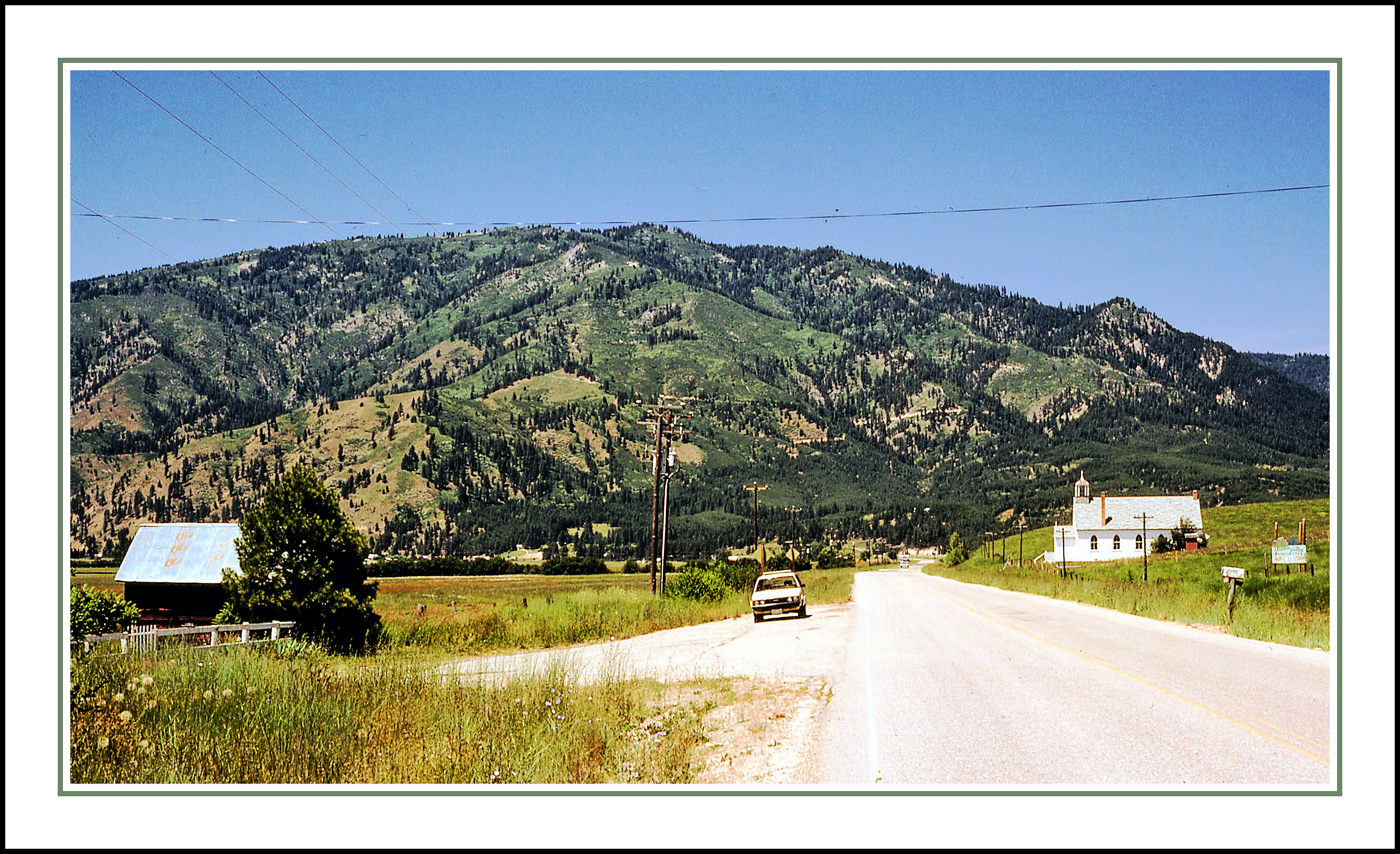
St. Jude's Catholic of Garden Valley, Idaho - 1980

Payette River Valley

Growin Wild

Crouch Shoot Day 1 - 365 Day 290

payette river-10-09-17-10

Fall Color

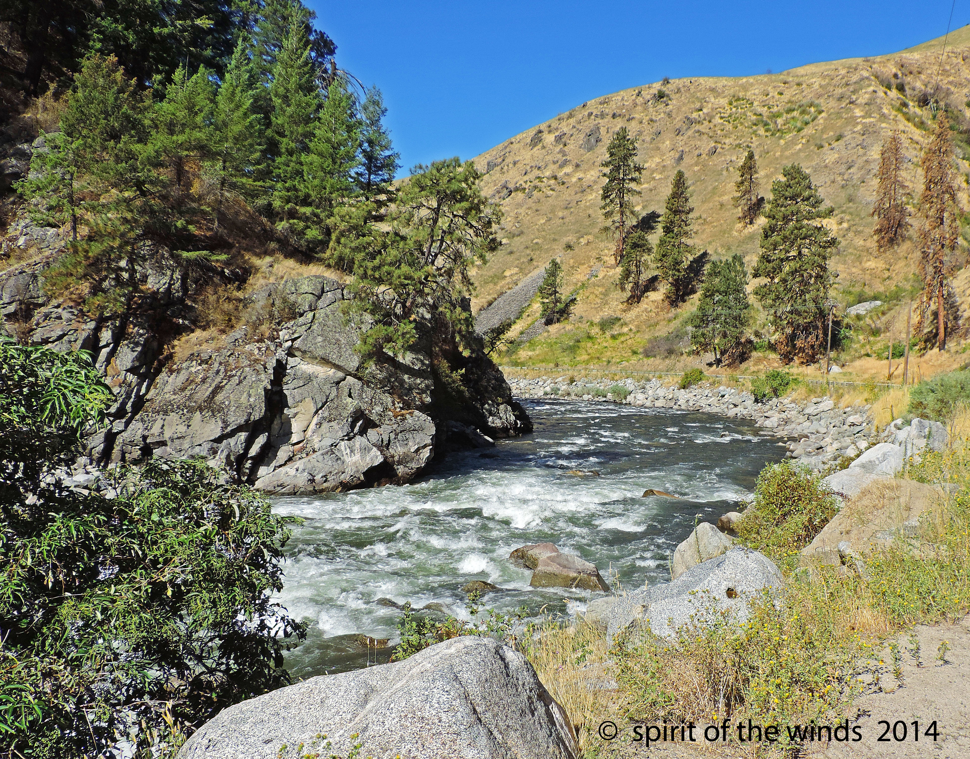
South Fork Payette River

Light & Shadow

The Payette River in Idaho, along highway 55. Wildflowers in foreground

Evening over Smiths Ferry (again)

Where it Begins

Mystic Moment

Autumn along the Payette

Smiths Ferry, Idaho - Fall Colors

Big Eddy Campground (Boise National Forest, Idaho)

Reflections of the Day

Payette River (Valley County, Idaho)

Payette River Valley (Boise County, Idaho)

Payette River Valley (Boise County, Idaho)

Payette River Valley (Boise County, Idaho)

Doogle?

Payette River Scenic Byway (Valley County, Idaho)
Topographic Map of Williams Creek Summit Home Area, ID, USA
Find elevation by address:

Places near Williams Creek Summit Home Area, ID, USA:
Swinging Bridge Campground
690 High Valley Rd
690 High Valley Rd
Banks
Outlaw Trail
Outlaw Trail
Outlaw Trail
Outlaw Trail
16 Frazier Creek Rd
7 Antler Point
131 Valley High Rd
138 Valley High Rd
130 Valley High Rd
45 Deer Valley Rd
63 Valley High Rd
River Meadow Drive
Forest Trail Road
Garden Valley
2 Zimmer Ln
2 Zimmer Ln
Recent Searches:
- Elevation of Corso Fratelli Cairoli, 35, Macerata MC, Italy
- Elevation of Tallevast Rd, Sarasota, FL, USA
- Elevation of 4th St E, Sonoma, CA, USA
- Elevation of Black Hollow Rd, Pennsdale, PA, USA
- Elevation of Oakland Ave, Williamsport, PA, USA
- Elevation of Pedrógão Grande, Portugal
- Elevation of Klee Dr, Martinsburg, WV, USA
- Elevation of Via Roma, Pieranica CR, Italy
- Elevation of Tavkvetili Mountain, Georgia
- Elevation of Hartfords Bluff Cir, Mt Pleasant, SC, USA