Elevation of High Valley Rd, Cascade, ID, USA
Location: United States > Idaho > Valley County > Cascade >
Longitude: -116.14689
Latitude: 44.2379607
Elevation: 1491m / 4892feet
Barometric Pressure: 85KPa
Elevation Map:
Satellite Map:
Related Photos:
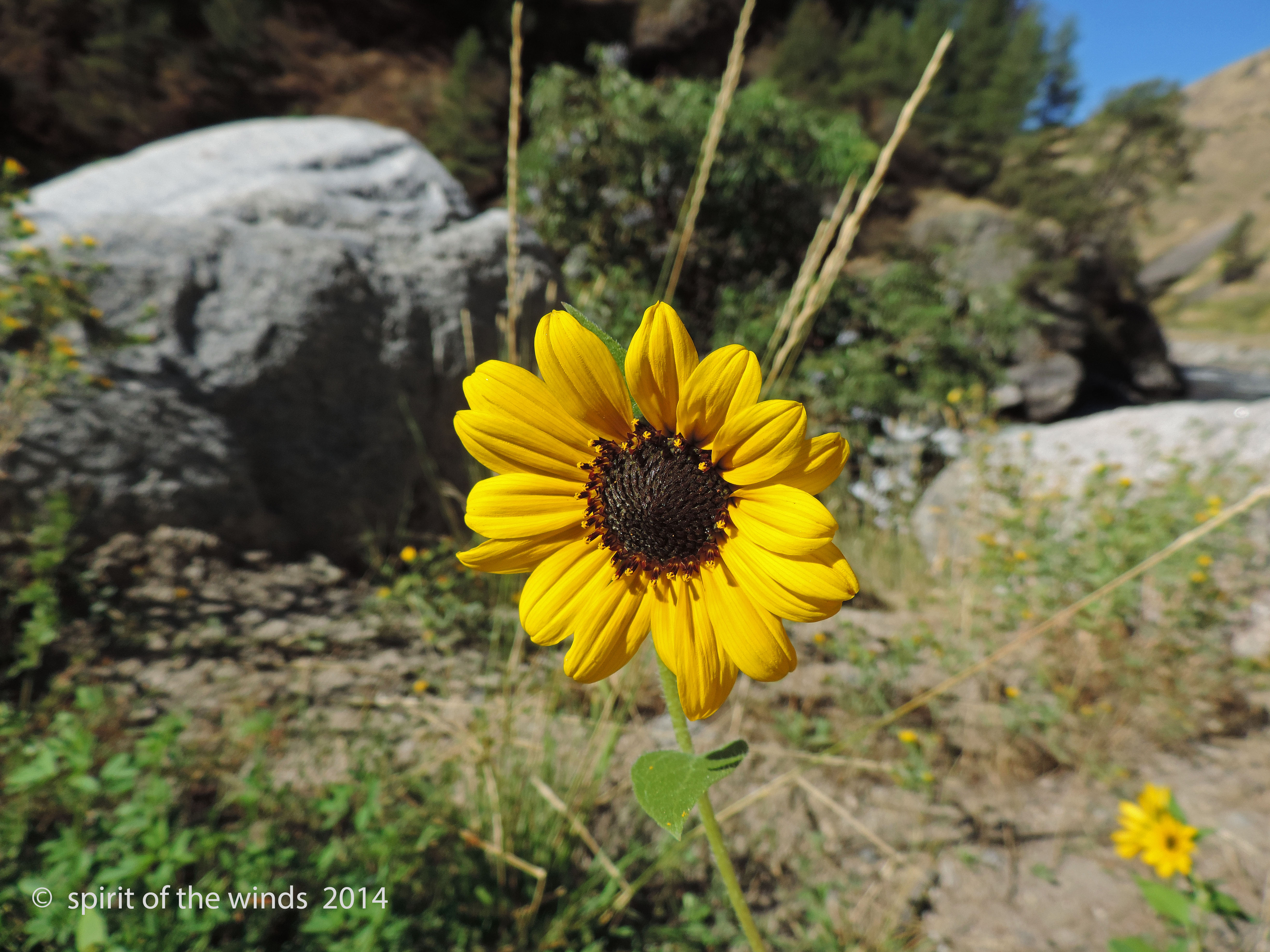
Growin Wild

Evening over Smiths Ferry (again)
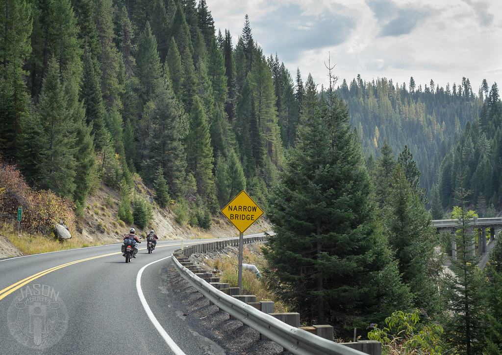
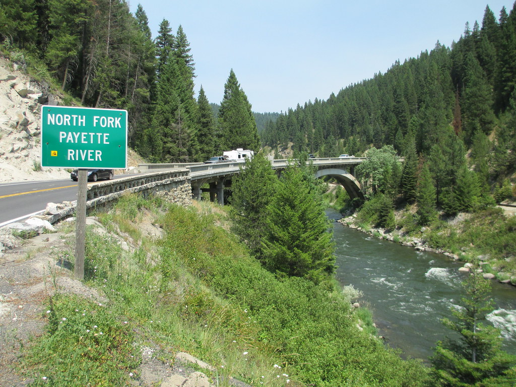
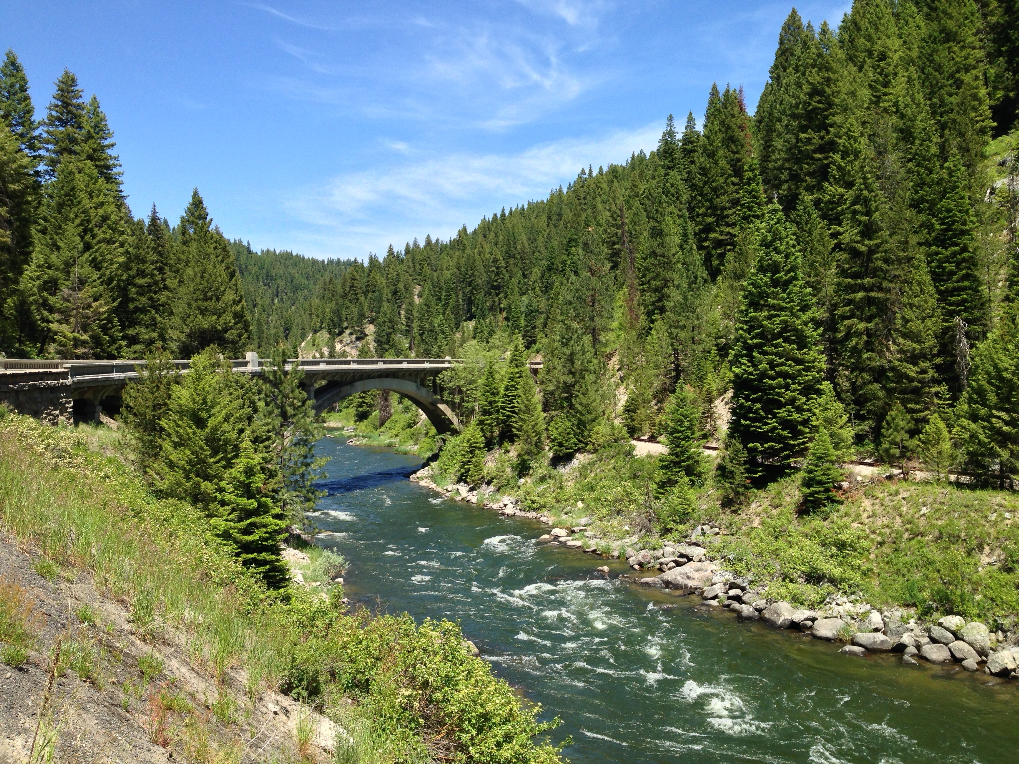
Narrow bridge

Autumn along the Payette
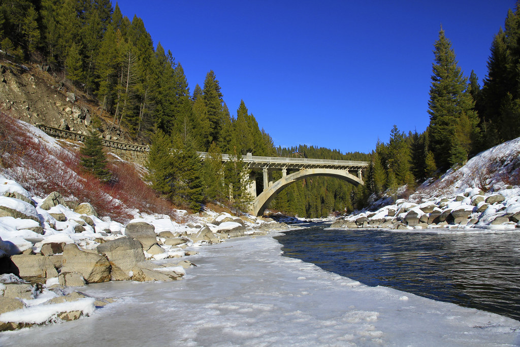
Rainbow Bridge
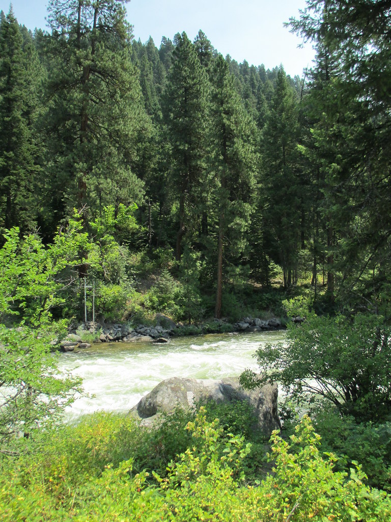
Payette River (Valley County, Idaho)
Payette River Scenic Byway (Valley County, Idaho)
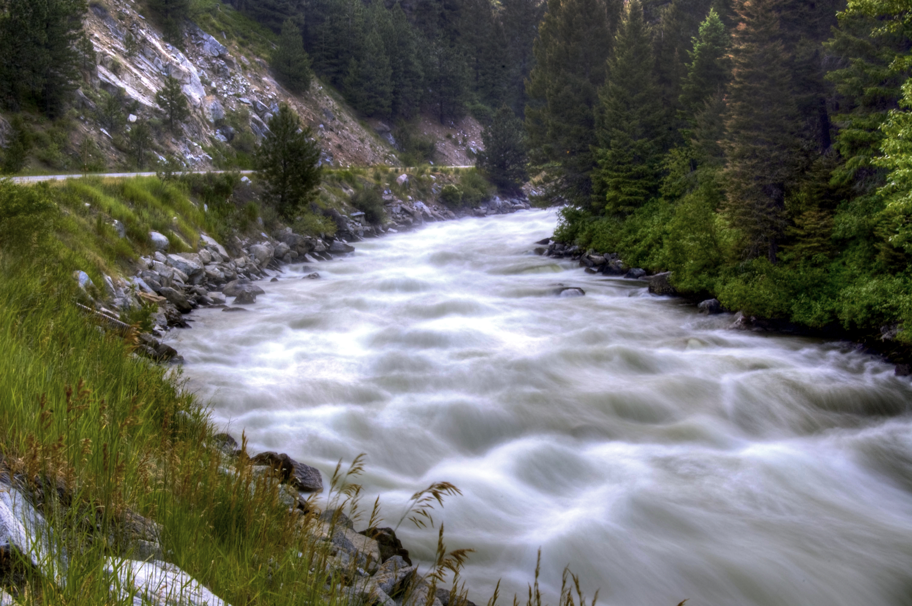
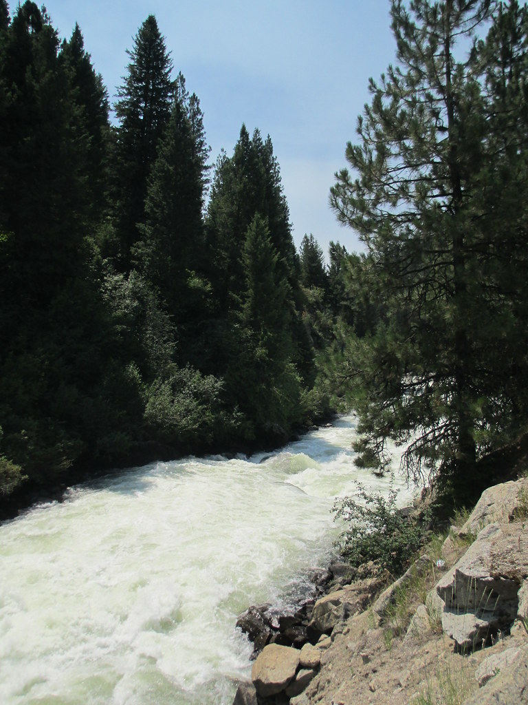
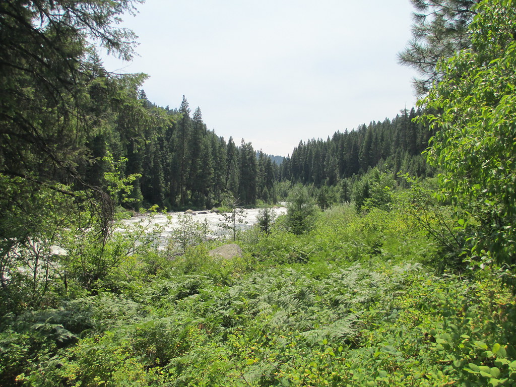
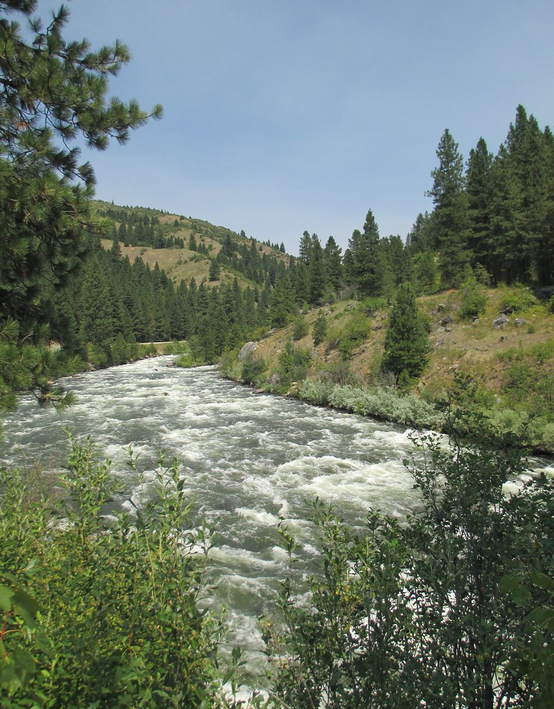
The River
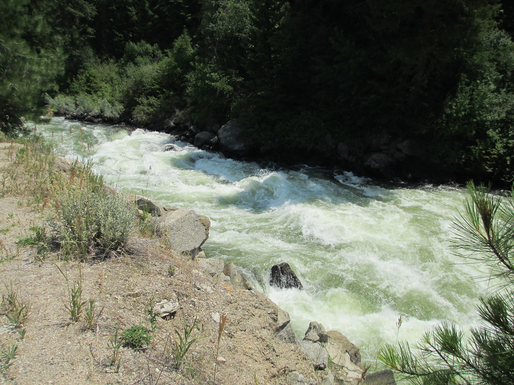
Payette River (Valley County, Idaho)
Payette River Valley (Boise County, Idaho)

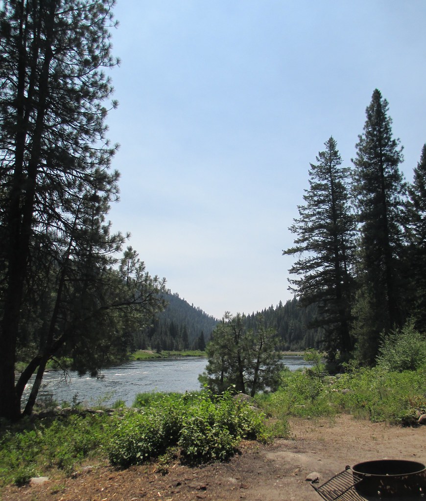
Camp 72

Camp 62
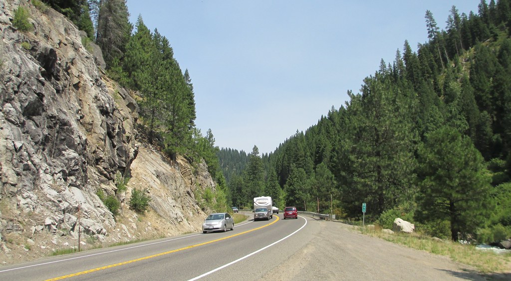
Payette River Scenic Byway (Valley County, Idaho)
Payette River Valley (Boise County, Idaho)
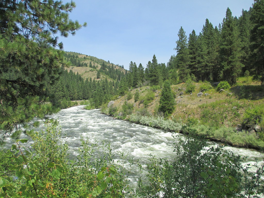
Payette River Valley (Boise County, Idaho)
Payette River Valley (Boise County, Idaho)
Big Eddy Campground (Boise National Forest, Idaho)

Big Eddy Campground (Boise National Forest, Idaho)
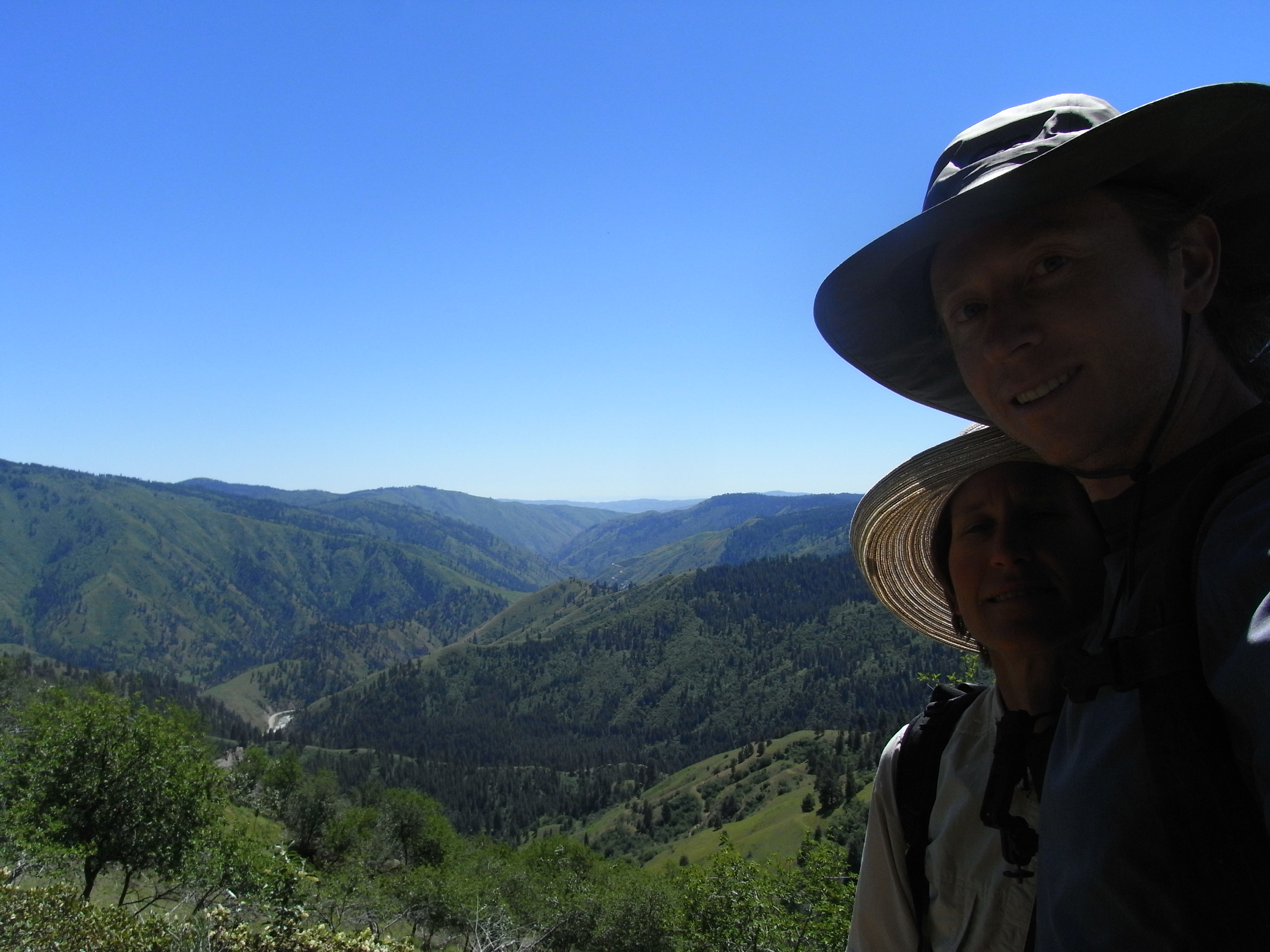
Us above Zimmer Creek
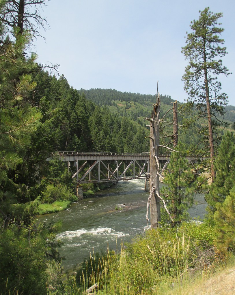
Main Street Bridge
Payette River Valley (Boise County, Idaho)

Payette River Valley (Boise County, Idaho)
Topographic Map of High Valley Rd, Cascade, ID, USA
Find elevation by address:

Places near High Valley Rd, Cascade, ID, USA:
690 High Valley Rd
Swinging Bridge Campground
Williams Creek Summit Home Area
Banks
7 Antler Point
45 Deer Valley Rd
Outlaw Trail
Outlaw Trail
Outlaw Trail
Outlaw Trail
16 Frazier Creek Rd
138 Valley High Rd
131 Valley High Rd
Forest Trail Road
130 Valley High Rd
63 Valley High Rd
River Meadow Drive
ID-55, Cascade, ID, USA
Garden Valley
811 Brownlee Rd
Recent Searches:
- Elevation of Corso Fratelli Cairoli, 35, Macerata MC, Italy
- Elevation of Tallevast Rd, Sarasota, FL, USA
- Elevation of 4th St E, Sonoma, CA, USA
- Elevation of Black Hollow Rd, Pennsdale, PA, USA
- Elevation of Oakland Ave, Williamsport, PA, USA
- Elevation of Pedrógão Grande, Portugal
- Elevation of Klee Dr, Martinsburg, WV, USA
- Elevation of Via Roma, Pieranica CR, Italy
- Elevation of Tavkvetili Mountain, Georgia
- Elevation of Hartfords Bluff Cir, Mt Pleasant, SC, USA