Elevation of Forest Trail Road, Forest Trail Rd, Garden Valley, ID, USA
Location: United States > Idaho > Boise County > Garden Valley >
Longitude: -115.96053
Latitude: 44.1833551
Elevation: 979m / 3212feet
Barometric Pressure: 90KPa
Elevation Map:
Satellite Map:
Related Photos:
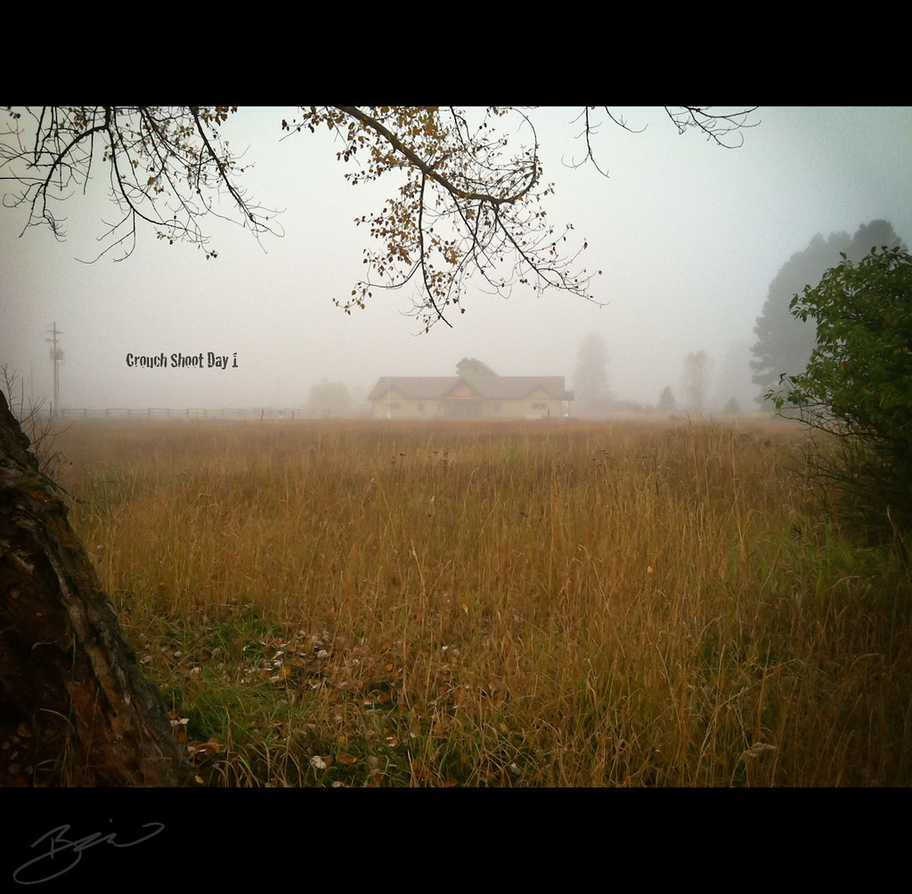
Crouch Shoot Day 1 - 365 Day 290

View from the Pioneer cemetary, Orchard Valley, Idaho
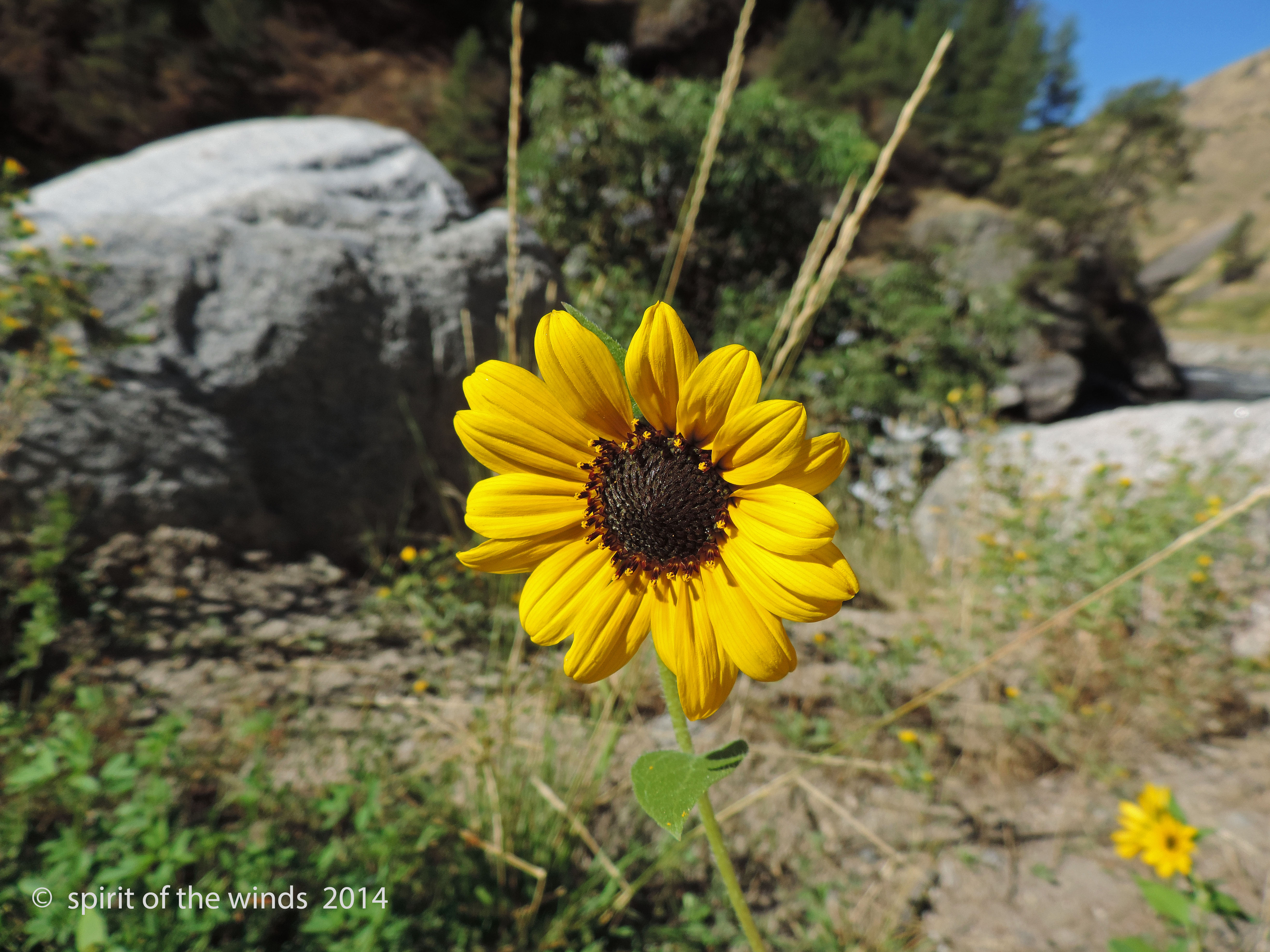
Growin Wild
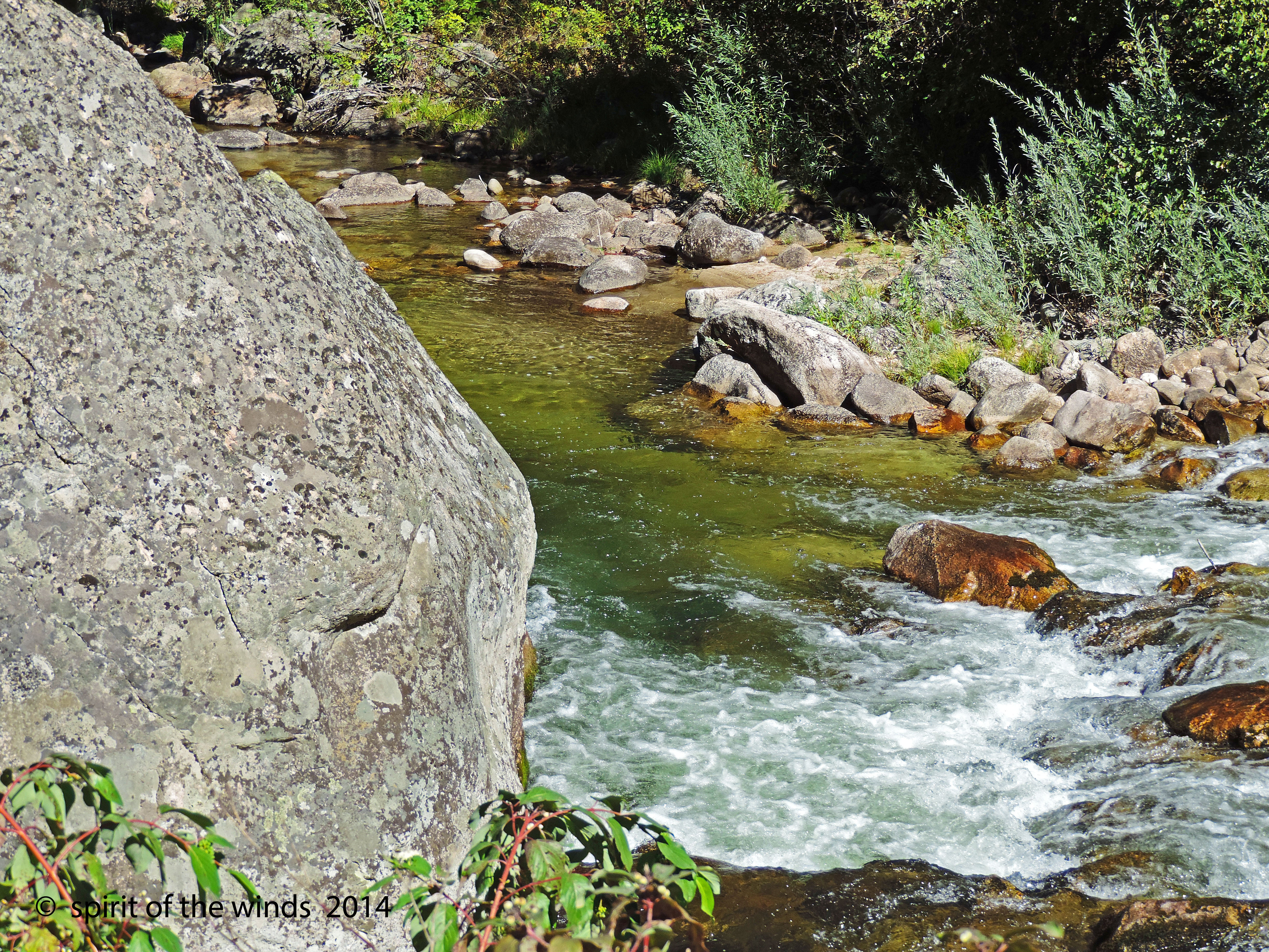
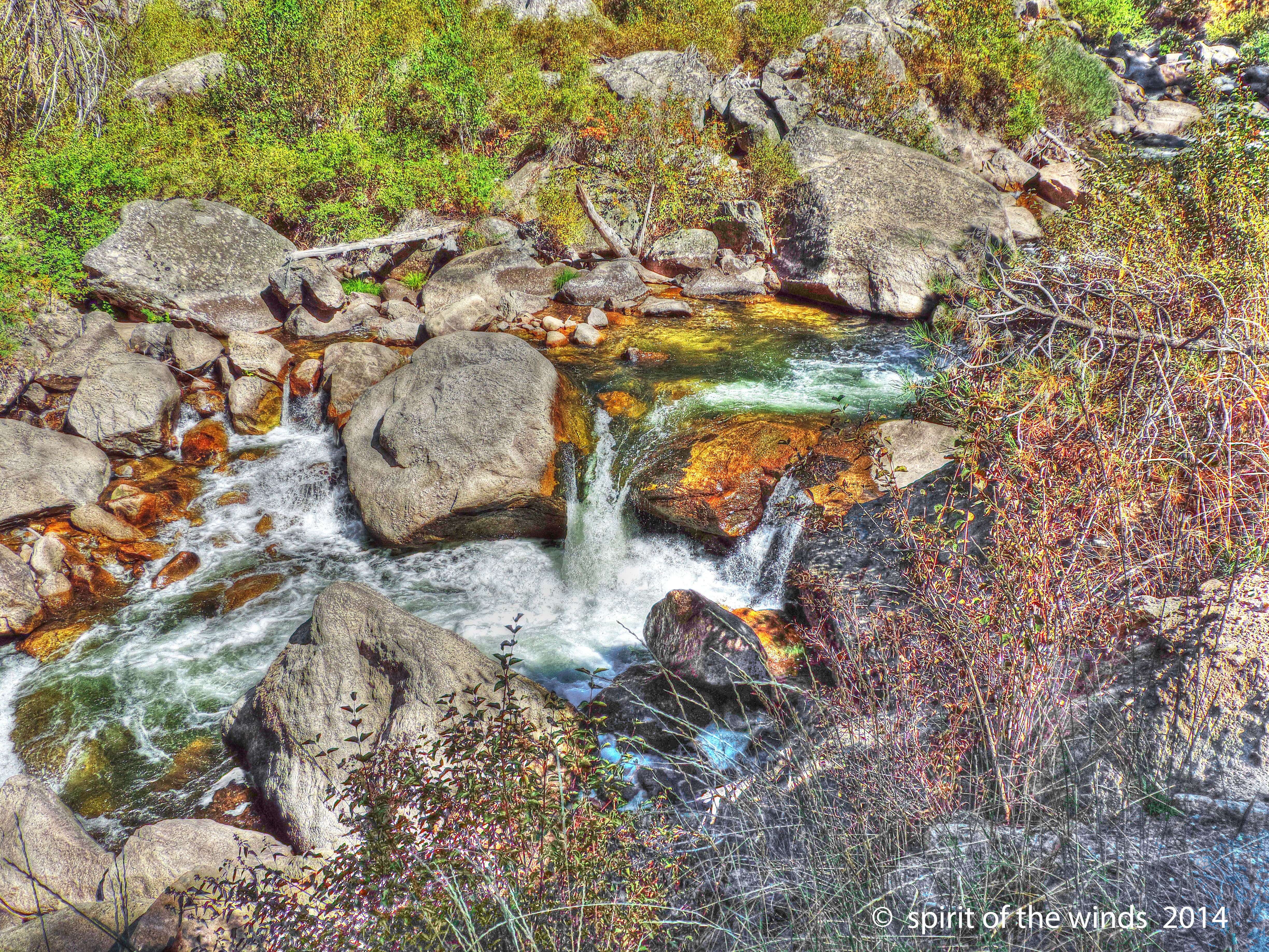
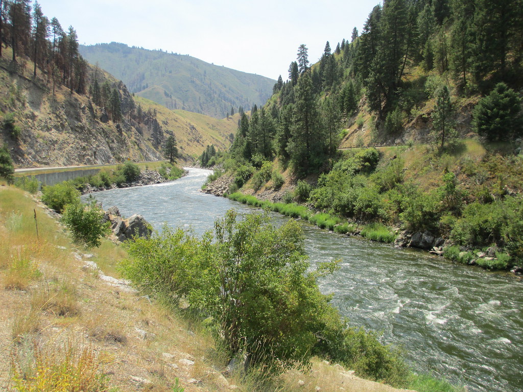
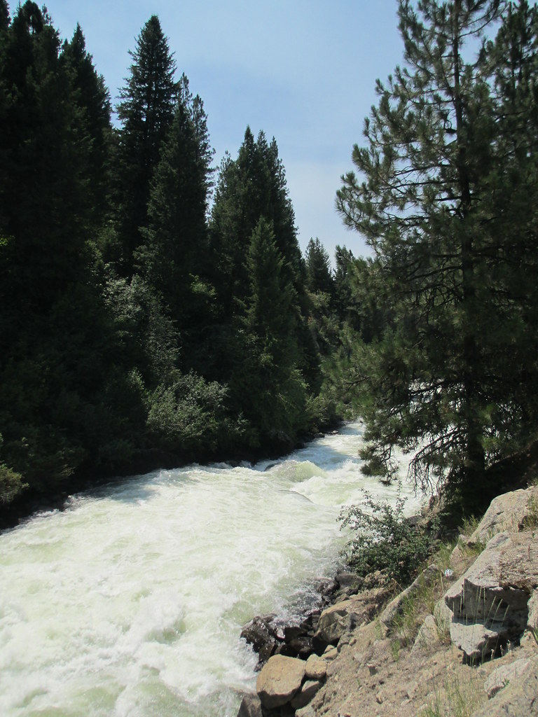
Middle Fork
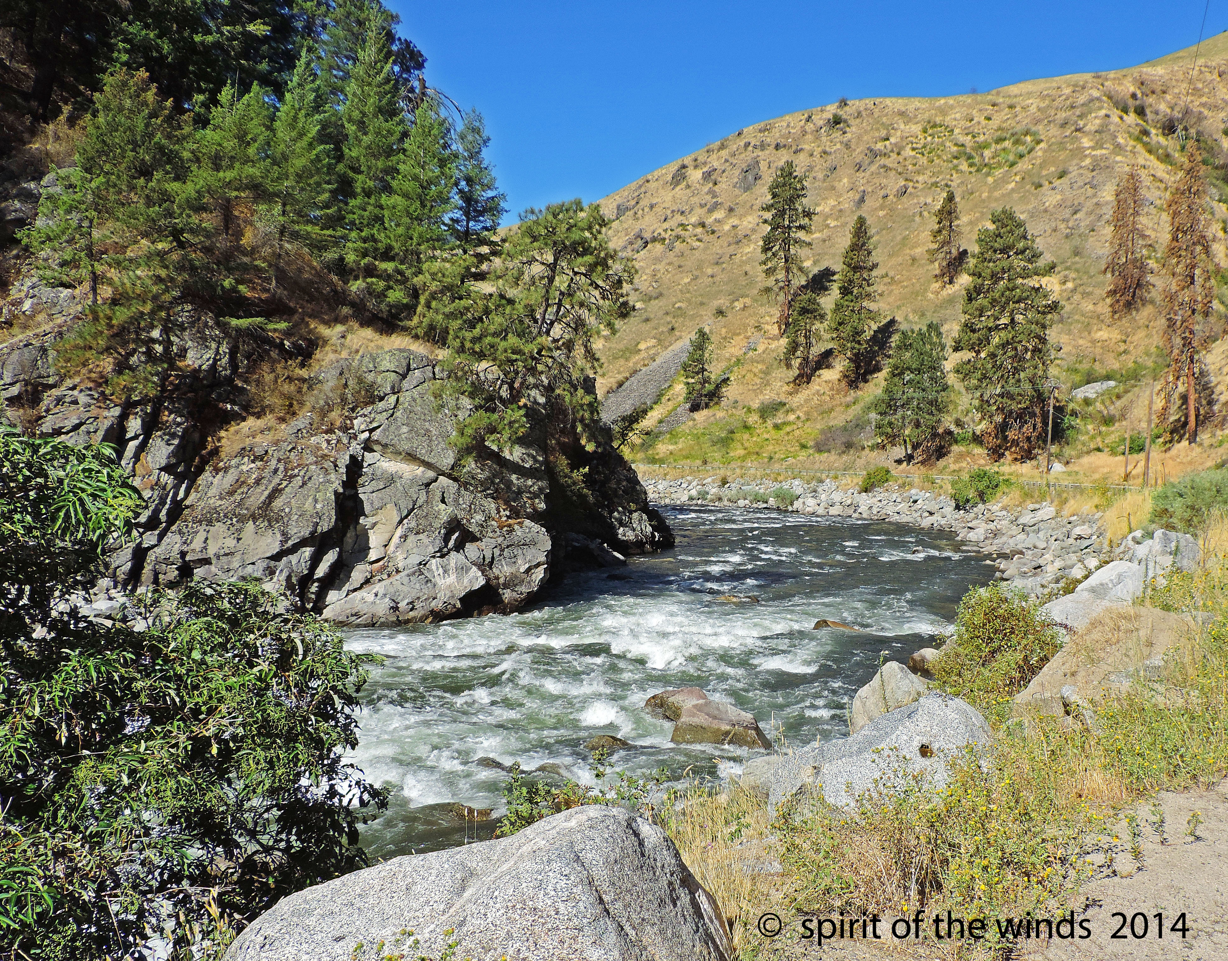
Middle Fork Payette River

Middle Fork Payette River
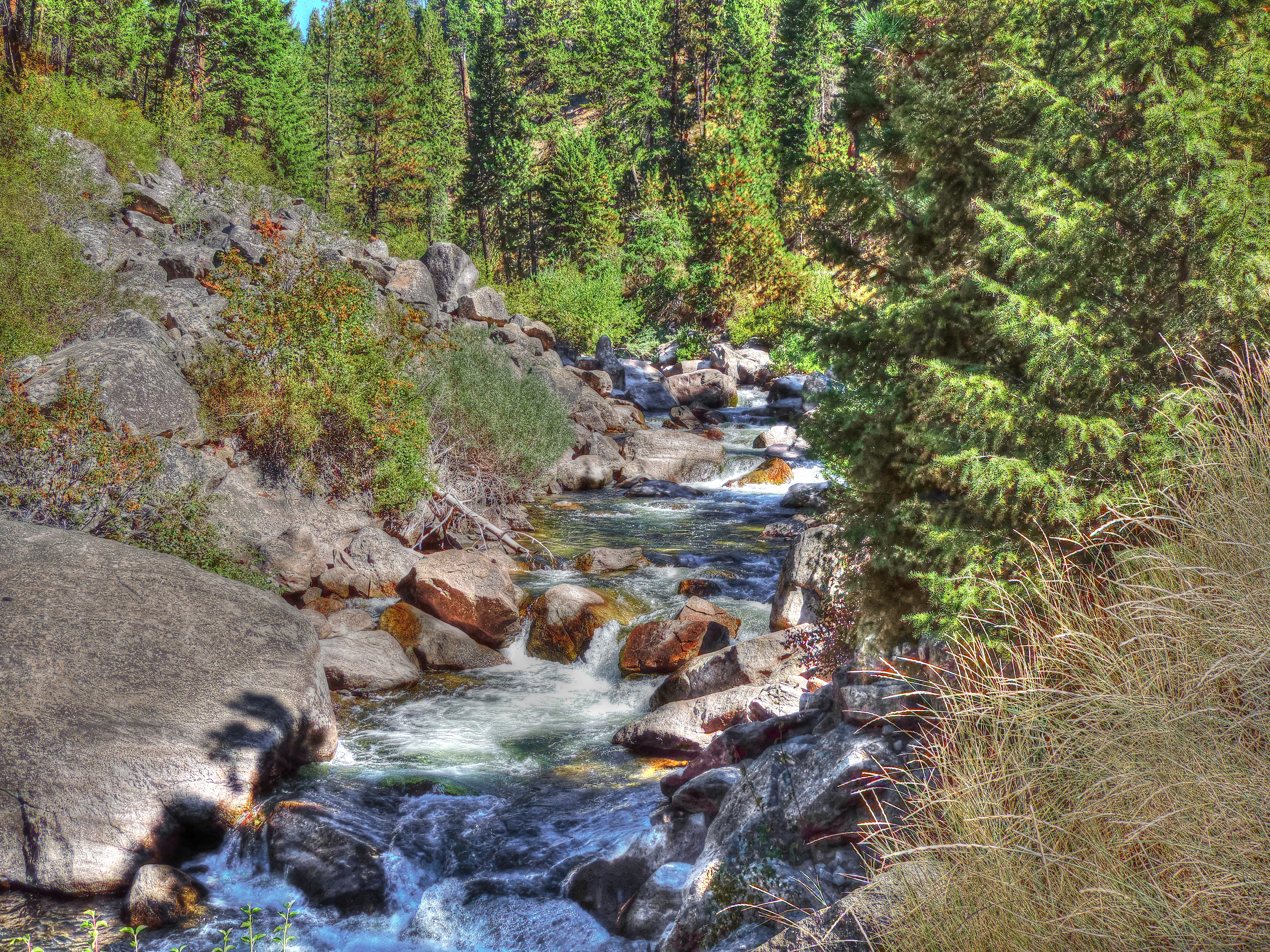
Middle Fork
Middle Fork
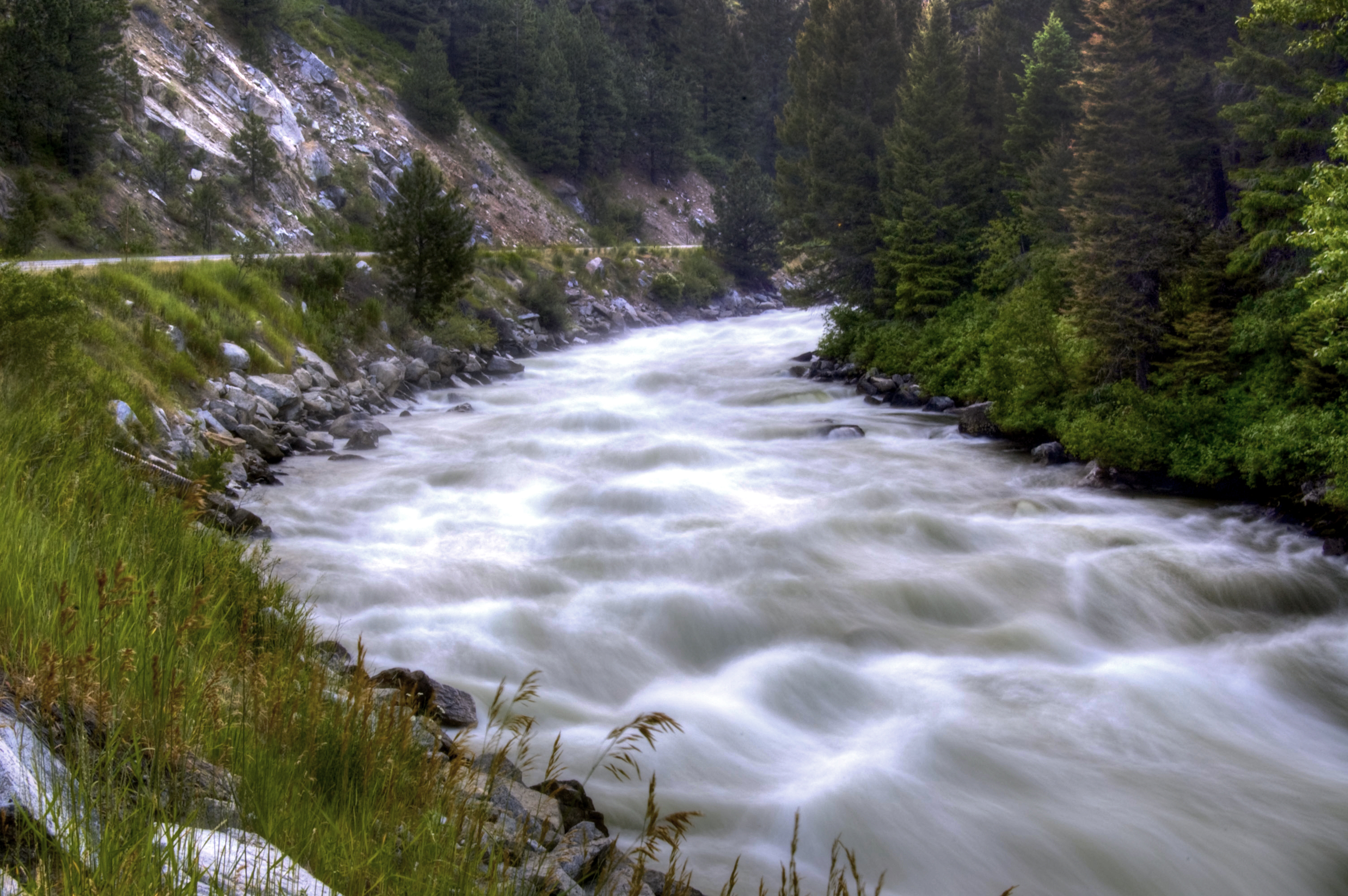
Fishing Hole, North Fork
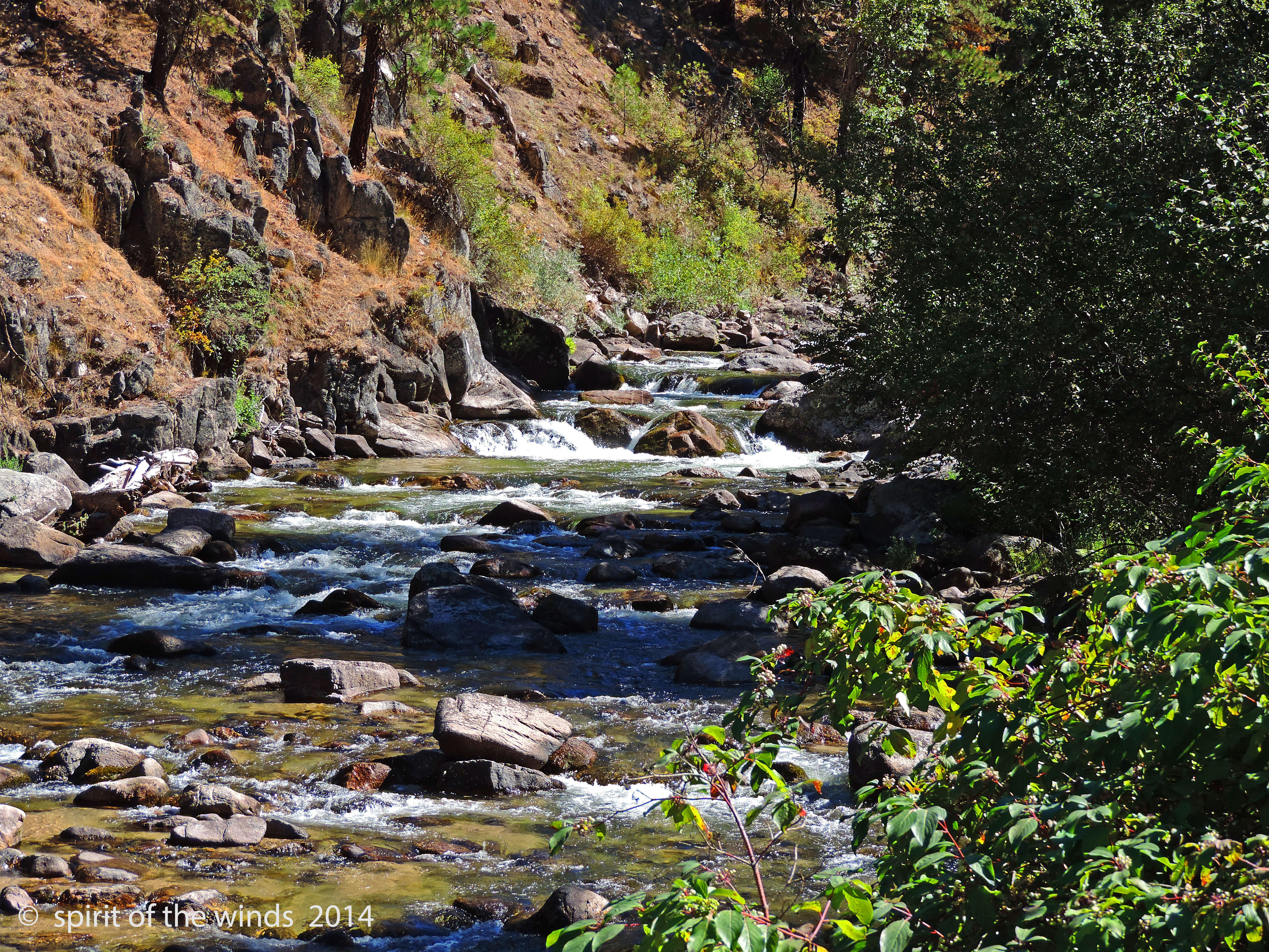
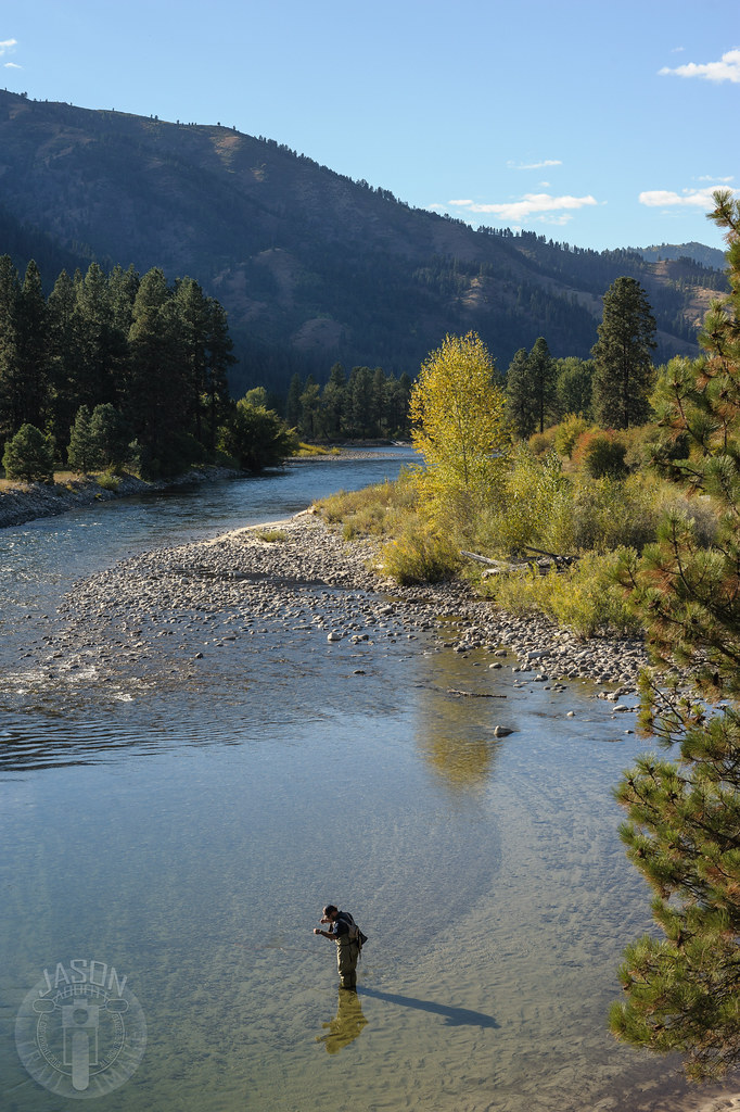
The Middle Fork
The Middle Fork

Circle the wagons

Two track for the win

High road

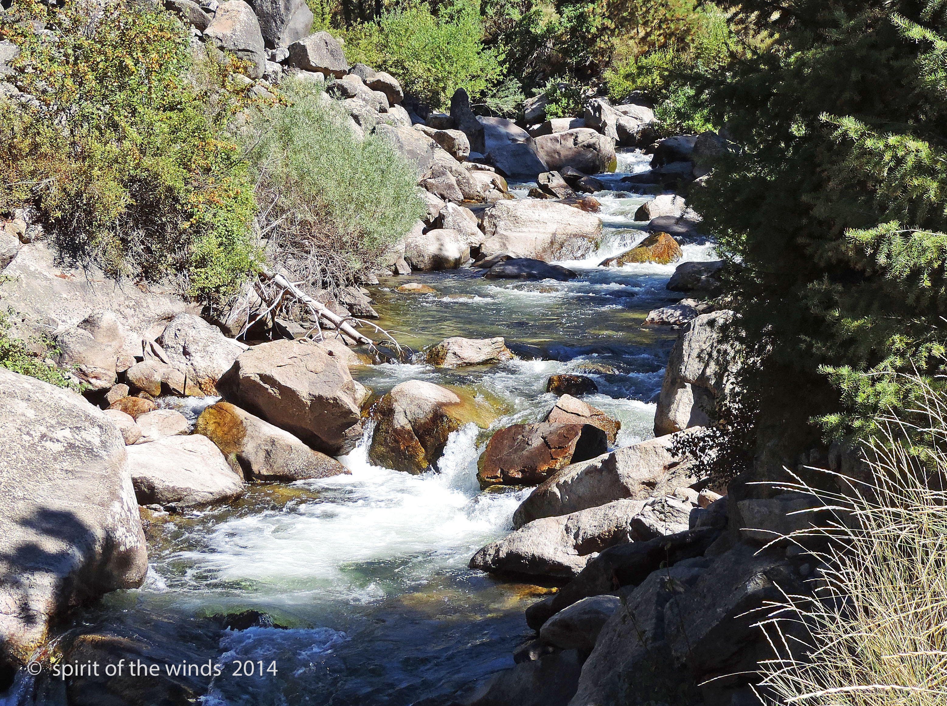
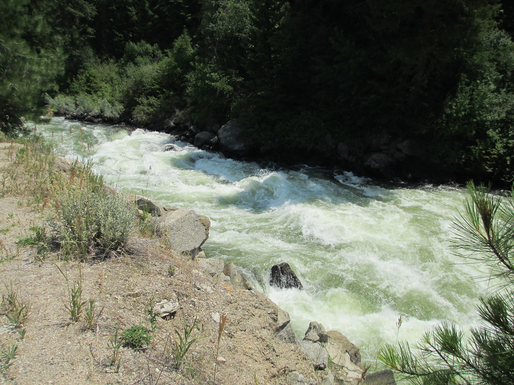
Middle Fork

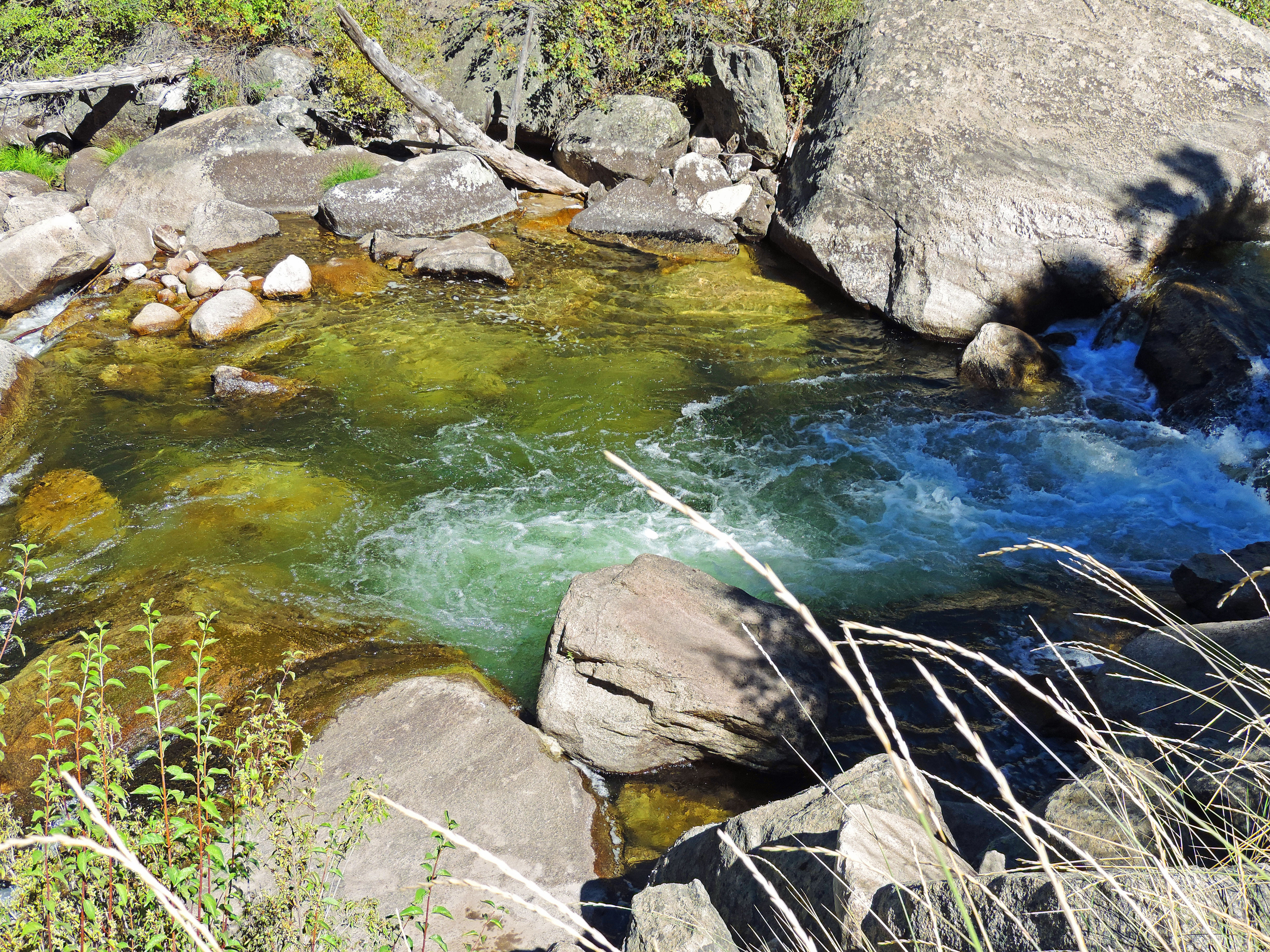
If you come to a fork in the river...

Light & Shadow

deer butts

Autumn along the Payette
All to himself
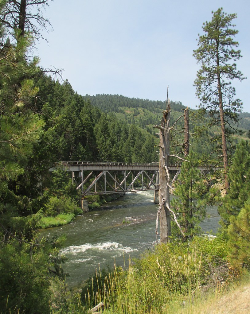
South Fork Payette River
2009_07_22-18_41_50-IMG_1106
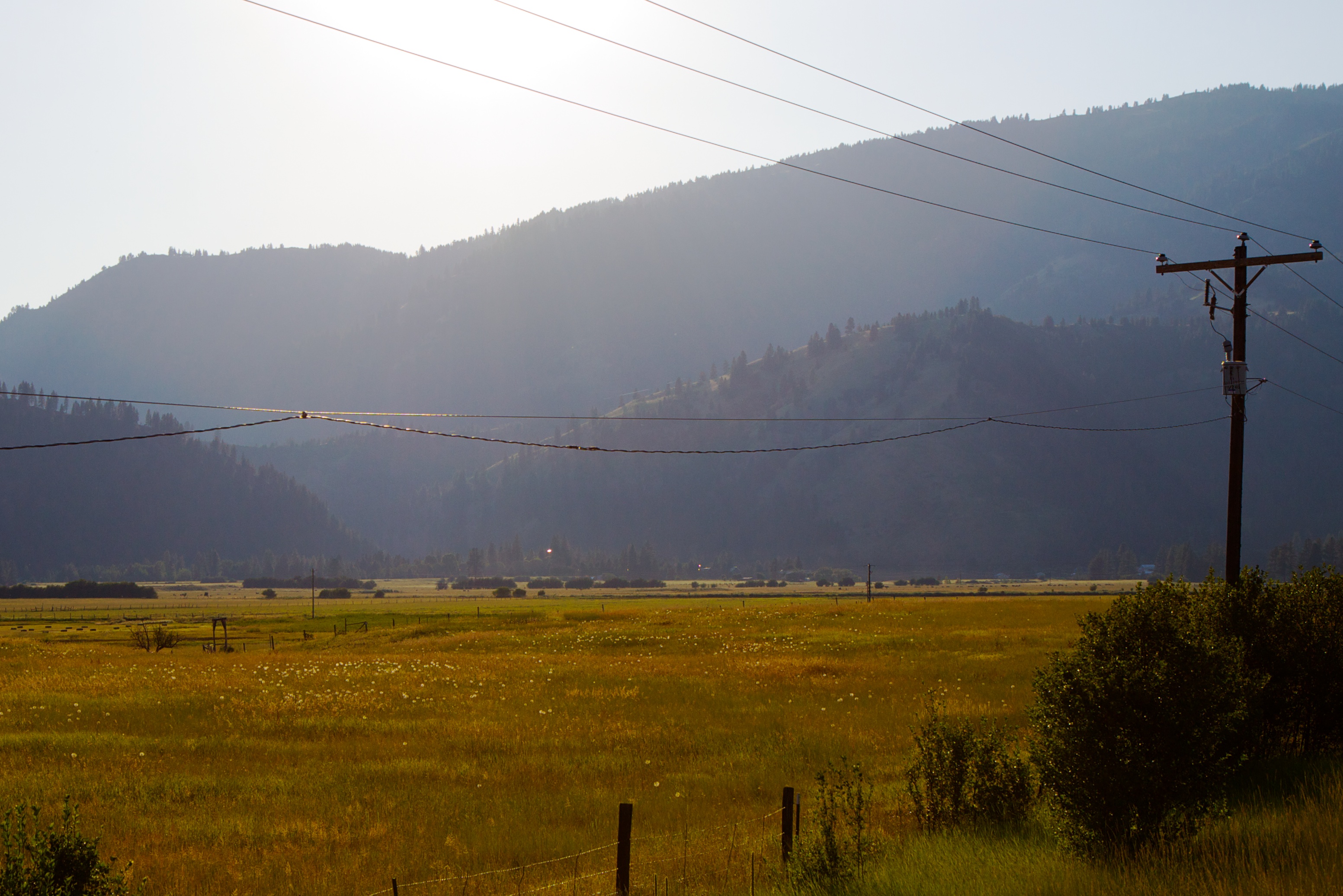
Payette River Valley (Boise County, Idaho)
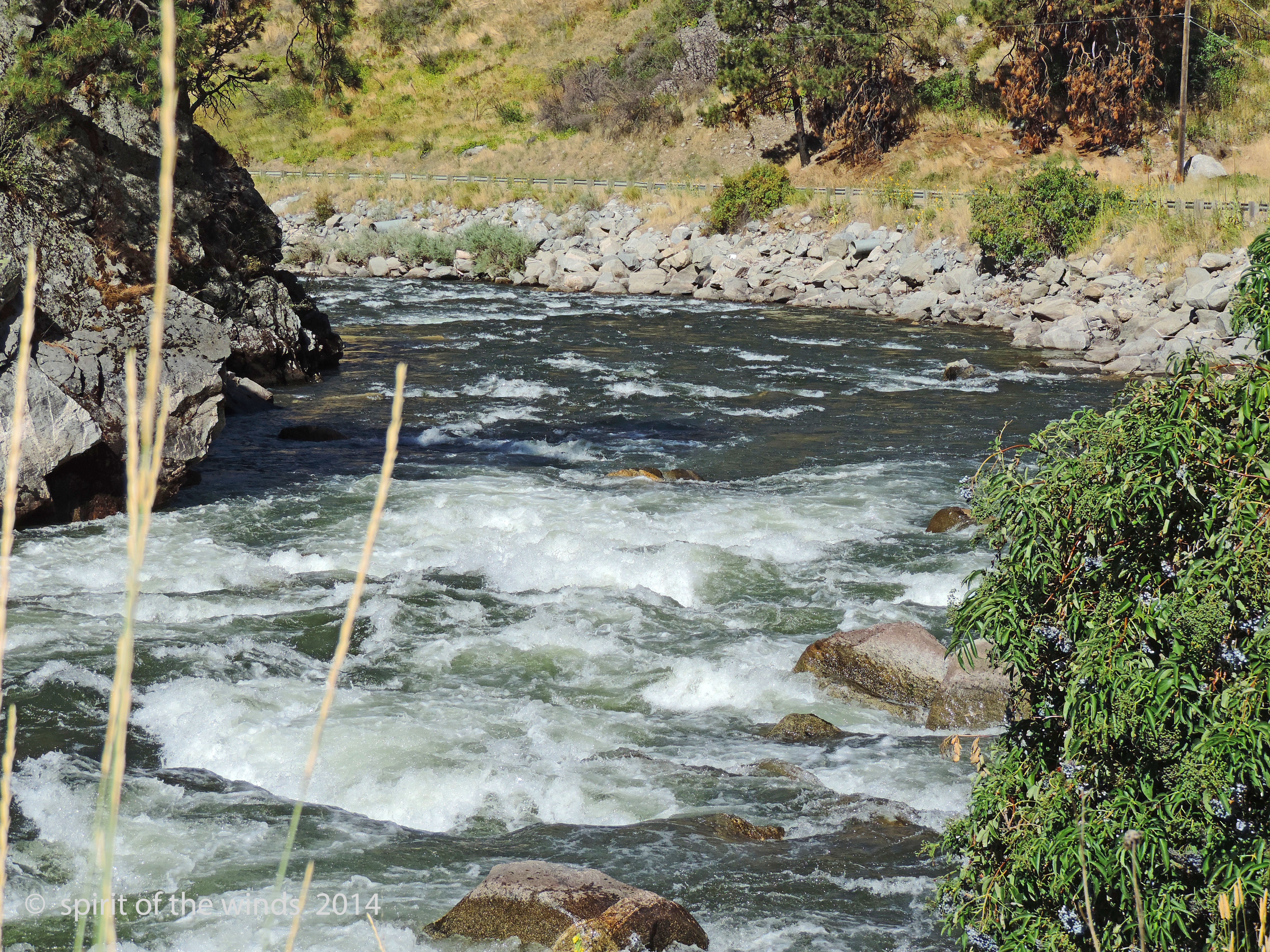
The River
Payette River (Valley County, Idaho)

Scott Mountain Lookout
Payette River Valley (Boise County, Idaho)
Payette River (Valley County, Idaho)
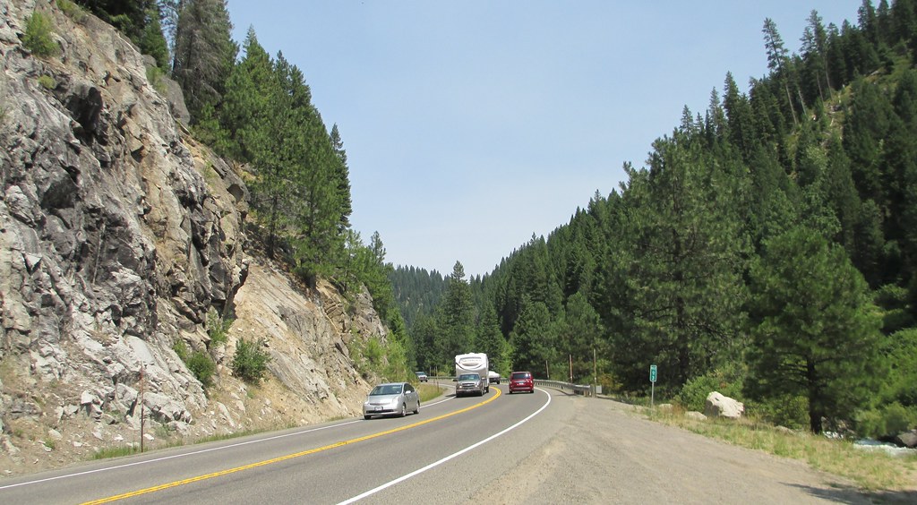
Payette River Scenic Byway (Valley County, Idaho)
Topographic Map of Forest Trail Road, Forest Trail Rd, Garden Valley, ID, USA
Find elevation by address:

Places near Forest Trail Road, Forest Trail Rd, Garden Valley, ID, USA:
45 Deer Valley Rd
River Meadow Drive
7 Antler Point
63 Valley High Rd
130 Valley High Rd
138 Valley High Rd
131 Valley High Rd
Garden Valley
16 Frazier Creek Rd
Swinging Bridge Campground
Williams Creek Summit Home Area
Banks Lowman Rd, Garden Valley, ID, USA
Banks
690 High Valley Rd
690 High Valley Rd
Forest Road 395
ID-55, Cascade, ID, USA
Granite Creek Rd, Placerville, ID, USA
Outlaw Trail
Outlaw Trail
Recent Searches:
- Elevation of Corso Fratelli Cairoli, 35, Macerata MC, Italy
- Elevation of Tallevast Rd, Sarasota, FL, USA
- Elevation of 4th St E, Sonoma, CA, USA
- Elevation of Black Hollow Rd, Pennsdale, PA, USA
- Elevation of Oakland Ave, Williamsport, PA, USA
- Elevation of Pedrógão Grande, Portugal
- Elevation of Klee Dr, Martinsburg, WV, USA
- Elevation of Via Roma, Pieranica CR, Italy
- Elevation of Tavkvetili Mountain, Georgia
- Elevation of Hartfords Bluff Cir, Mt Pleasant, SC, USA