Elevation of Granite Creek Rd, Placerville, ID, USA
Location: United States > Idaho > Boise County > Placerville >
Longitude: -115.9958
Latitude: 43.949498
Elevation: 1452m / 4764feet
Barometric Pressure: 85KPa
Elevation Map:
Satellite Map:
Related Photos:
Horseshoe Bend panoLRwm
The Heavens Opening
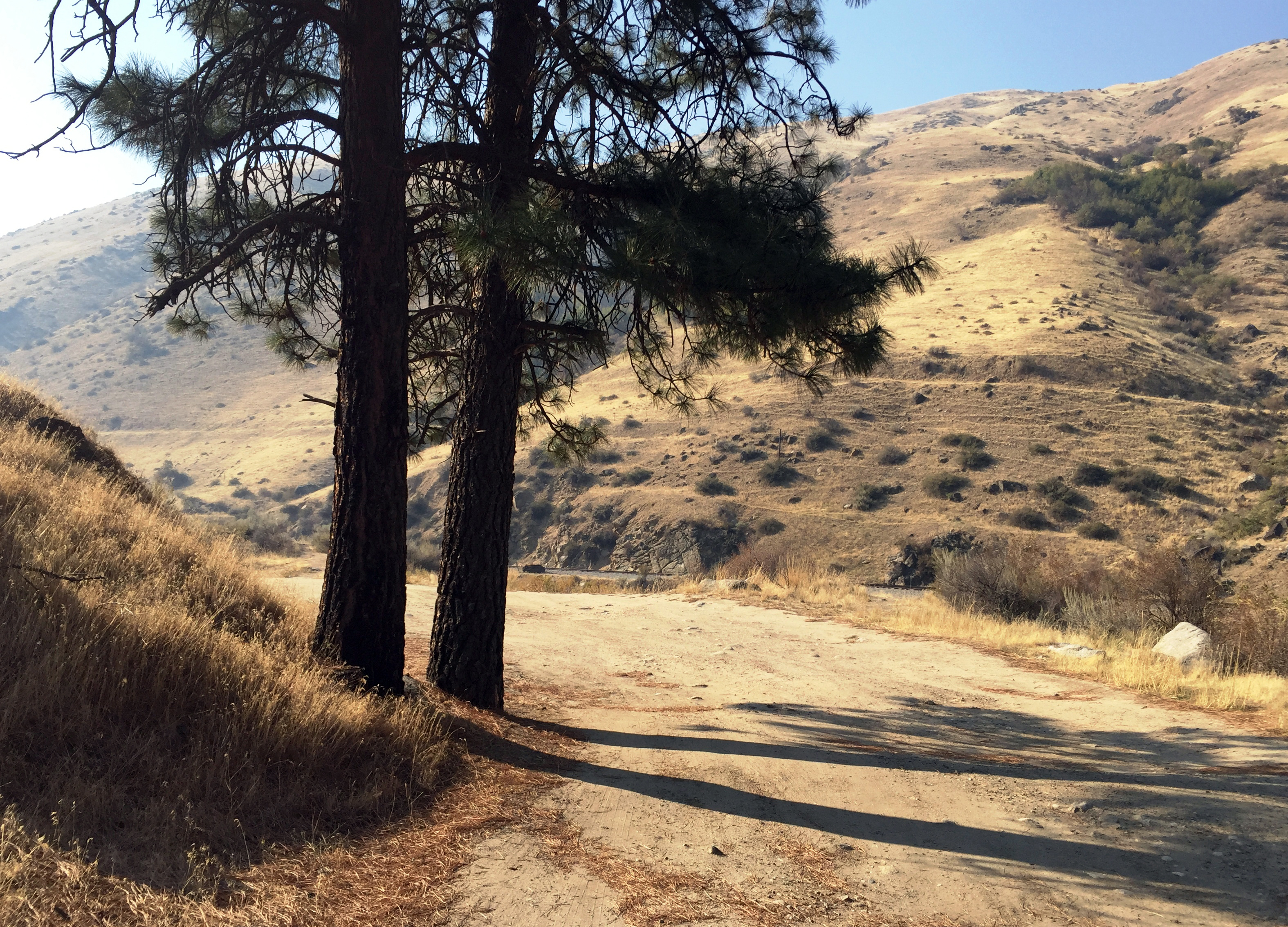
View Outside Placerville, ID
Ridge all the way

Star Ranch view

Sugarloaf Rock
Star Ranch - Harris Creek - in HDR

Fall in the Forest

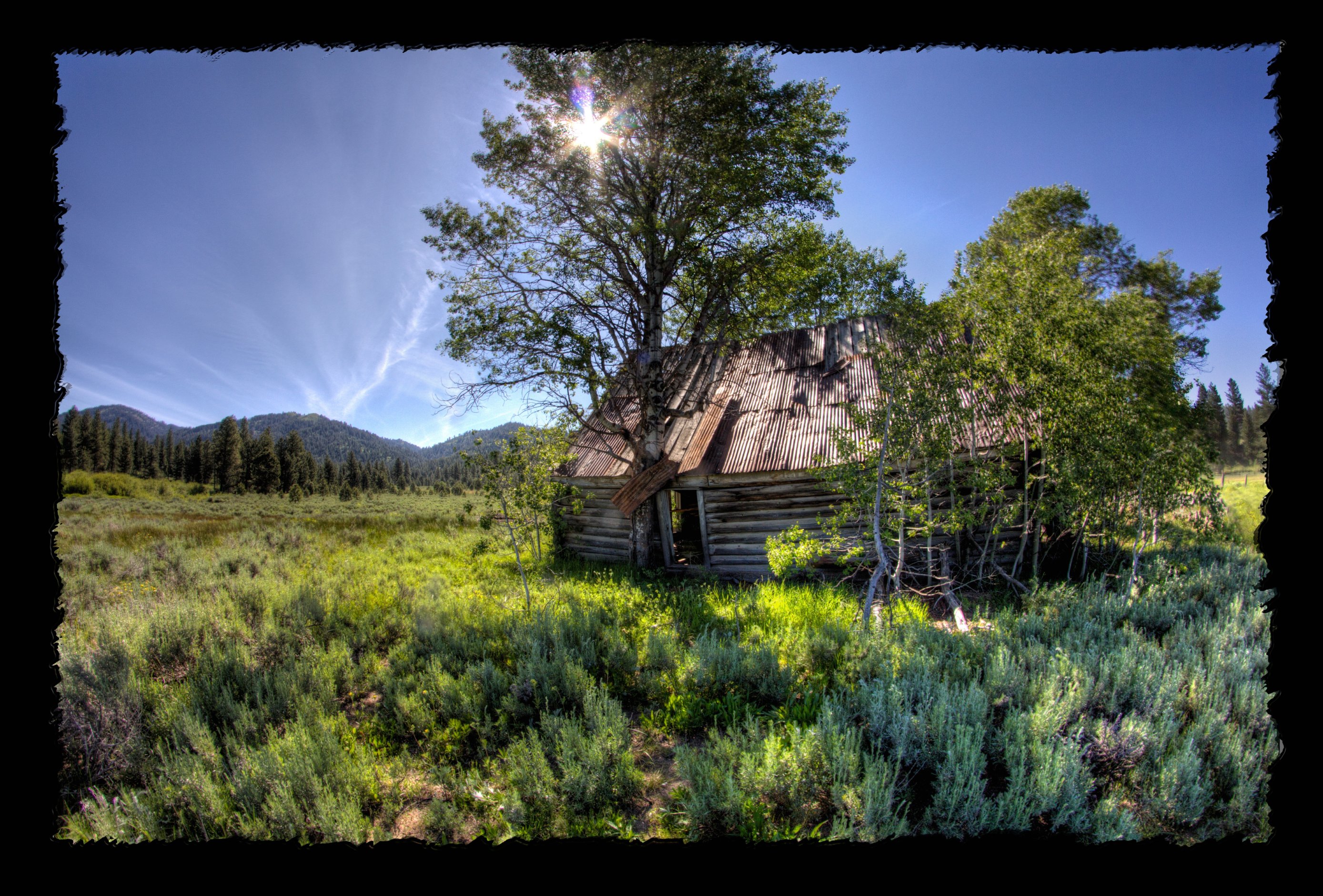
Sheepherder's Cabin
20090923-_MG_0491
20090923-_MG_0498-01-pan
All to himself

Grimes Pass

Grimes Pass
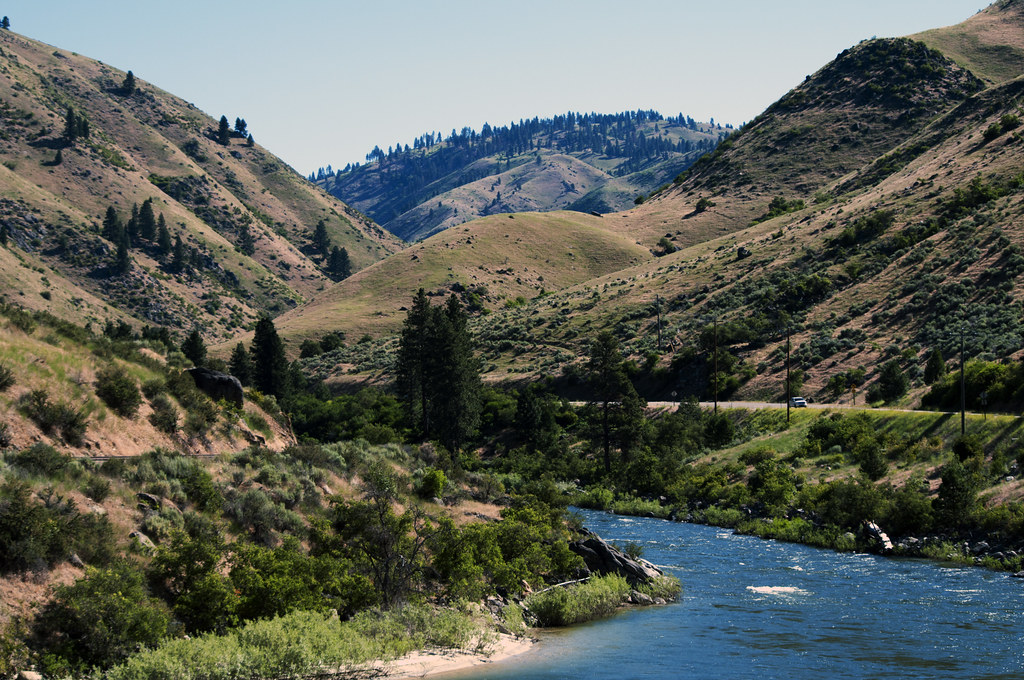
North Payette River, Idaho, USA

untitled-120.jpg

Salmon shooter

Placerville Cemetery-23
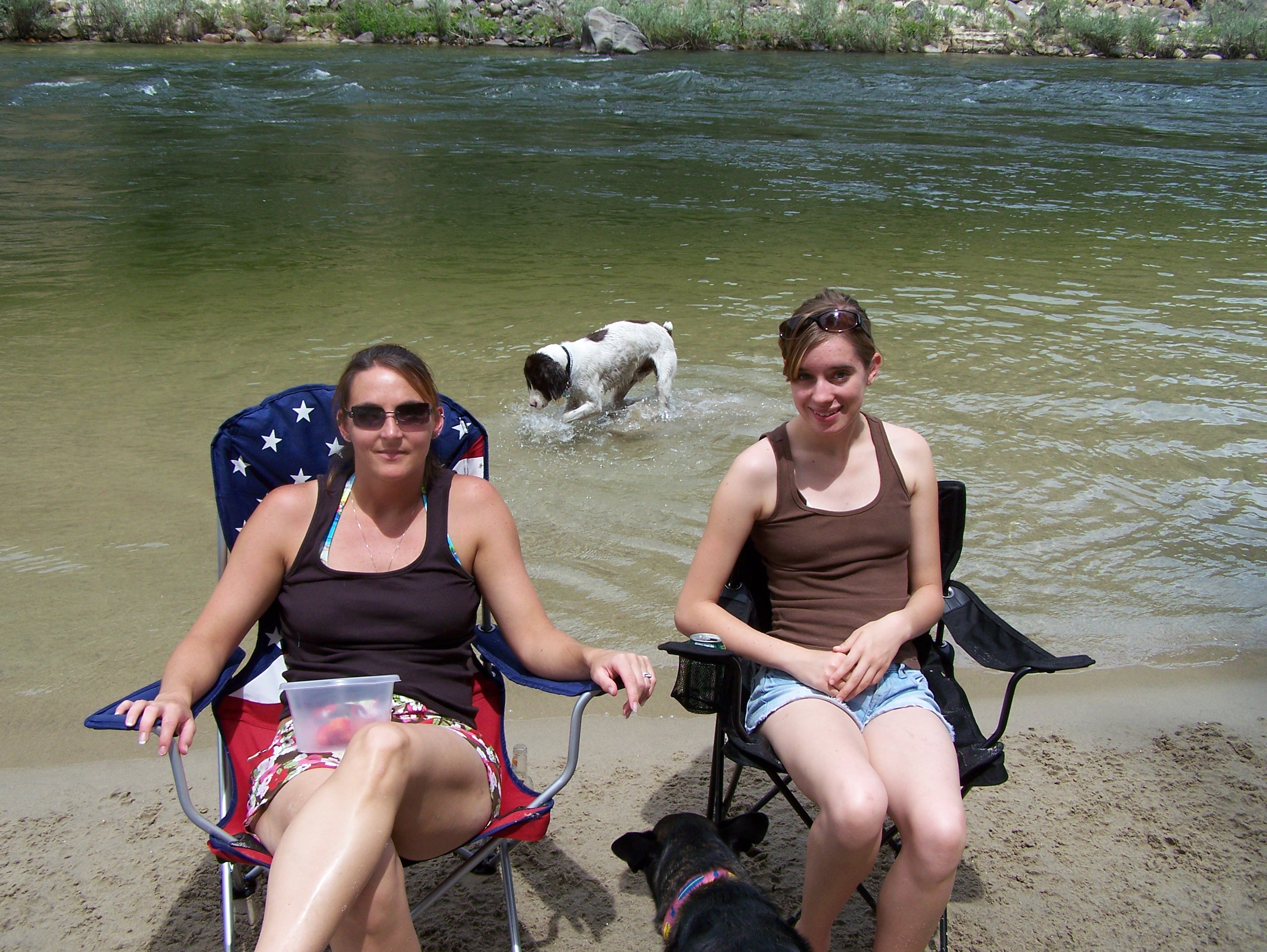
Lounging on the Payette River
Shadows Grow Long
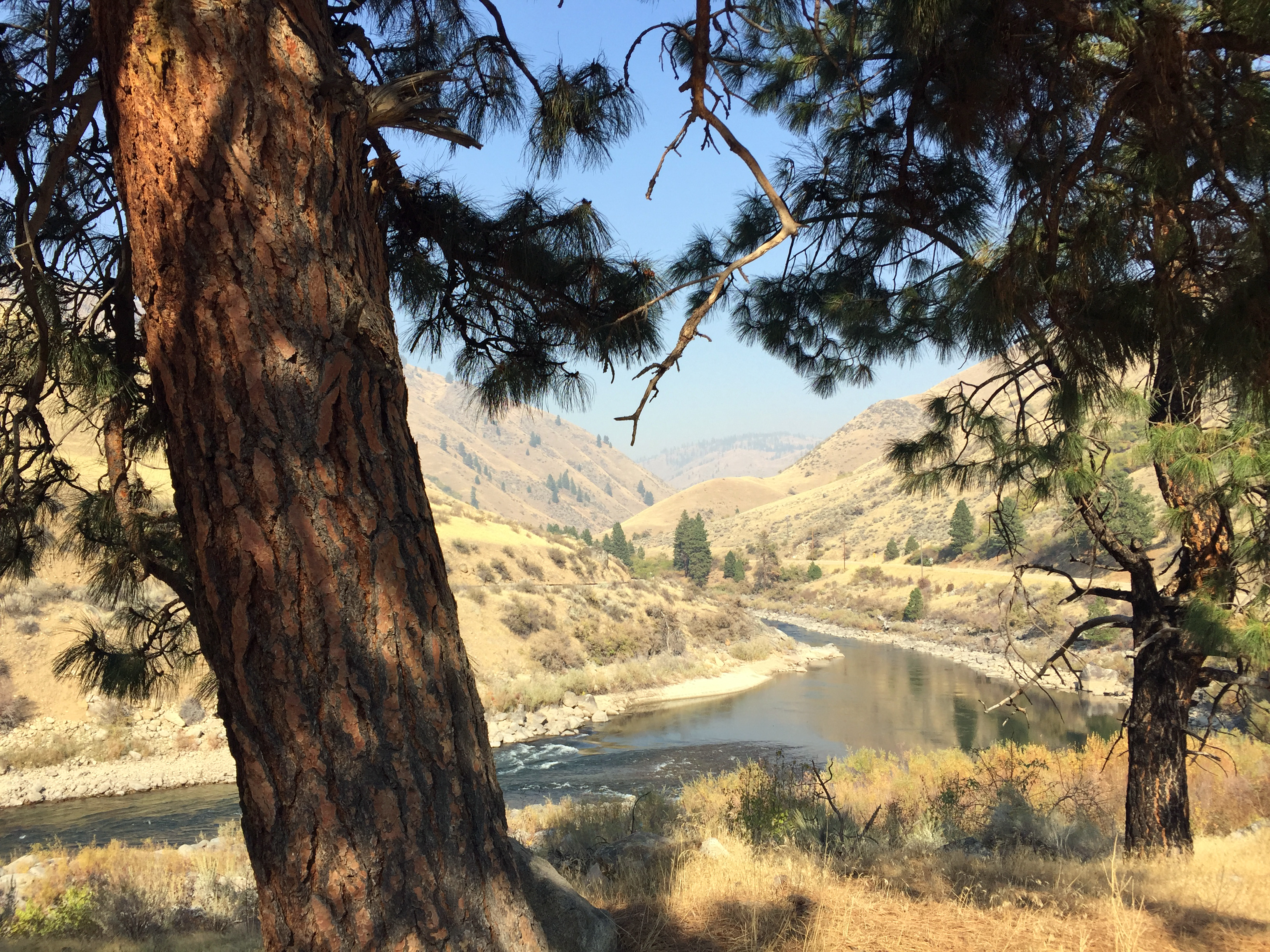
River Bend
Topographic Map of Granite Creek Rd, Placerville, ID, USA
Find elevation by address:

Places near Granite Creek Rd, Placerville, ID, USA:
Granite Creek Rd, Placerville, ID, USA
49 Hopkins Dr
18 Hopkins Dr
9 Hiatt St, Idaho City, ID, USA
Harris Creek Road
Placerville
Forest Road 395
Harris Creek Road
Harris Creek Road
Harris Creek Road
Centerville Rd, Idaho City, ID, USA
Porter Creek Road
2 Zimmer Ln
2 Zimmer Ln
2 Zimmer Ln
Boise County
16 Frazier Creek Rd
45 Zimmer Ln
Garden Valley
Pioneerville
Recent Searches:
- Elevation of Corso Fratelli Cairoli, 35, Macerata MC, Italy
- Elevation of Tallevast Rd, Sarasota, FL, USA
- Elevation of 4th St E, Sonoma, CA, USA
- Elevation of Black Hollow Rd, Pennsdale, PA, USA
- Elevation of Oakland Ave, Williamsport, PA, USA
- Elevation of Pedrógão Grande, Portugal
- Elevation of Klee Dr, Martinsburg, WV, USA
- Elevation of Via Roma, Pieranica CR, Italy
- Elevation of Tavkvetili Mountain, Georgia
- Elevation of Hartfords Bluff Cir, Mt Pleasant, SC, USA