Elevation of Cabarton Rd, Cascade, ID, USA
Location: United States > Idaho > Valley County > Cascade >
Longitude: -116.03689
Latitude: 44.5089232
Elevation: 1467m / 4813feet
Barometric Pressure: 85KPa
Elevation Map:
Satellite Map:
Related Photos:
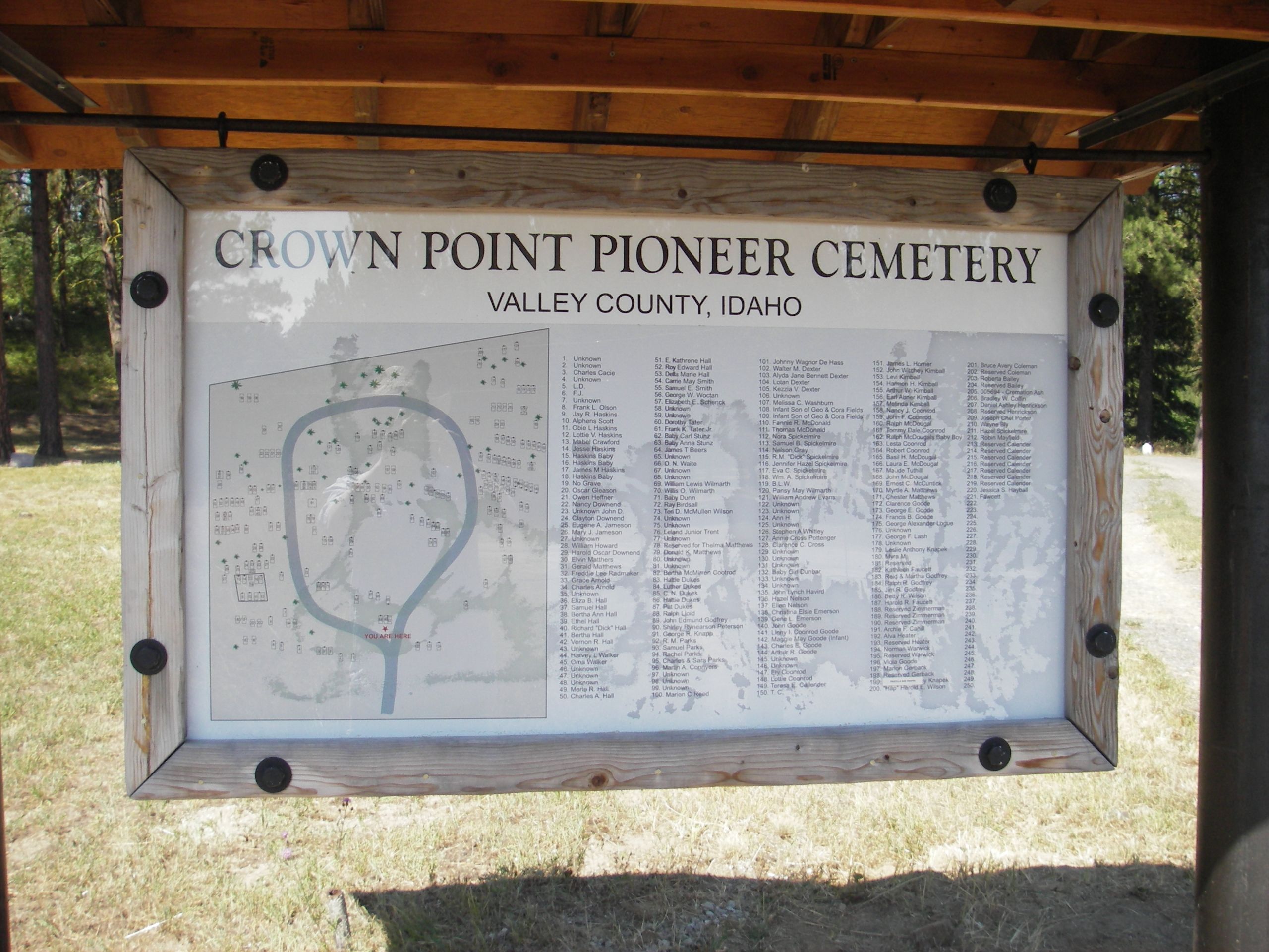
IMGP3136CrownPoint
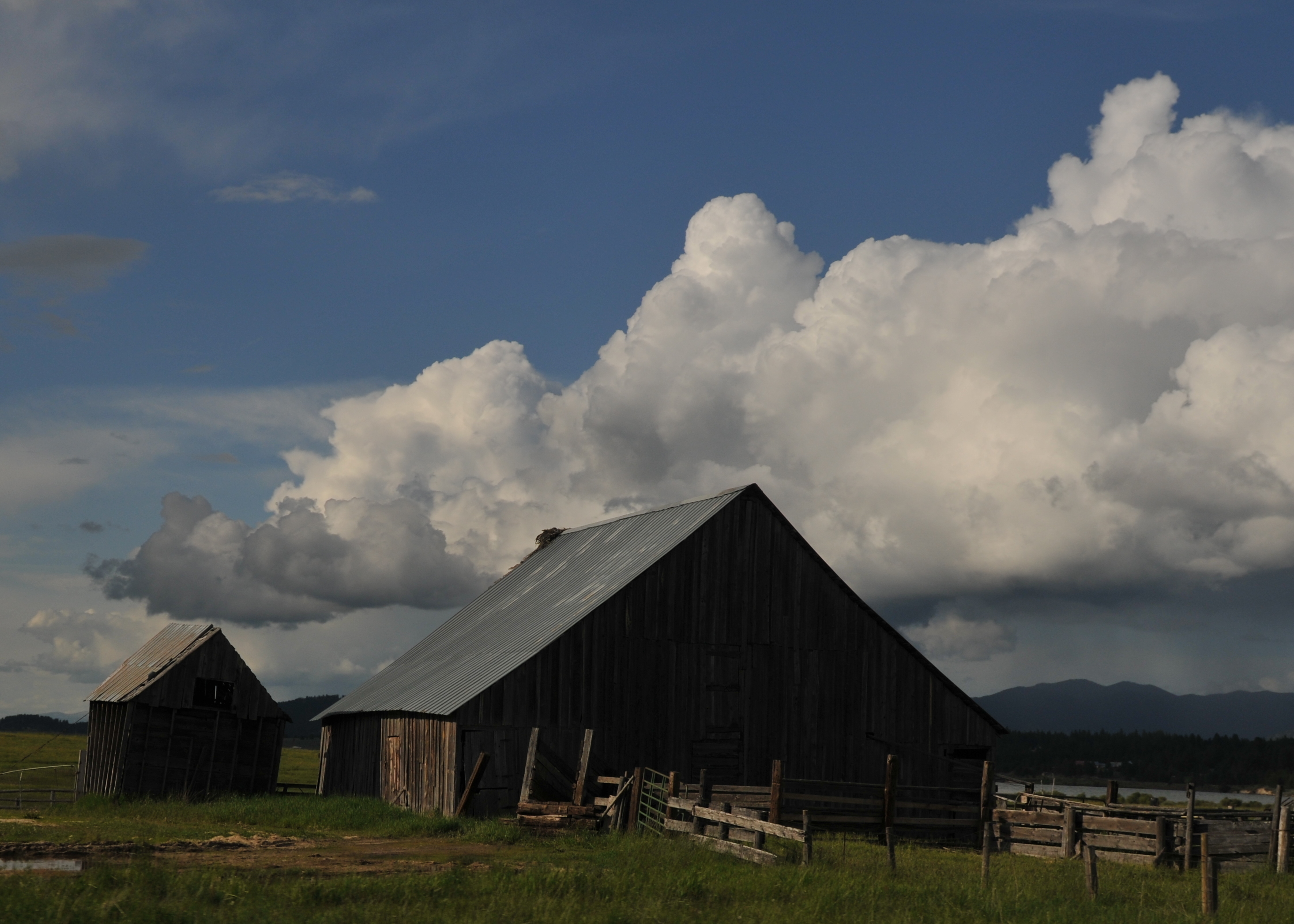
Abandoned, II
photo(rx2y)

Hazy Fall Afternoon

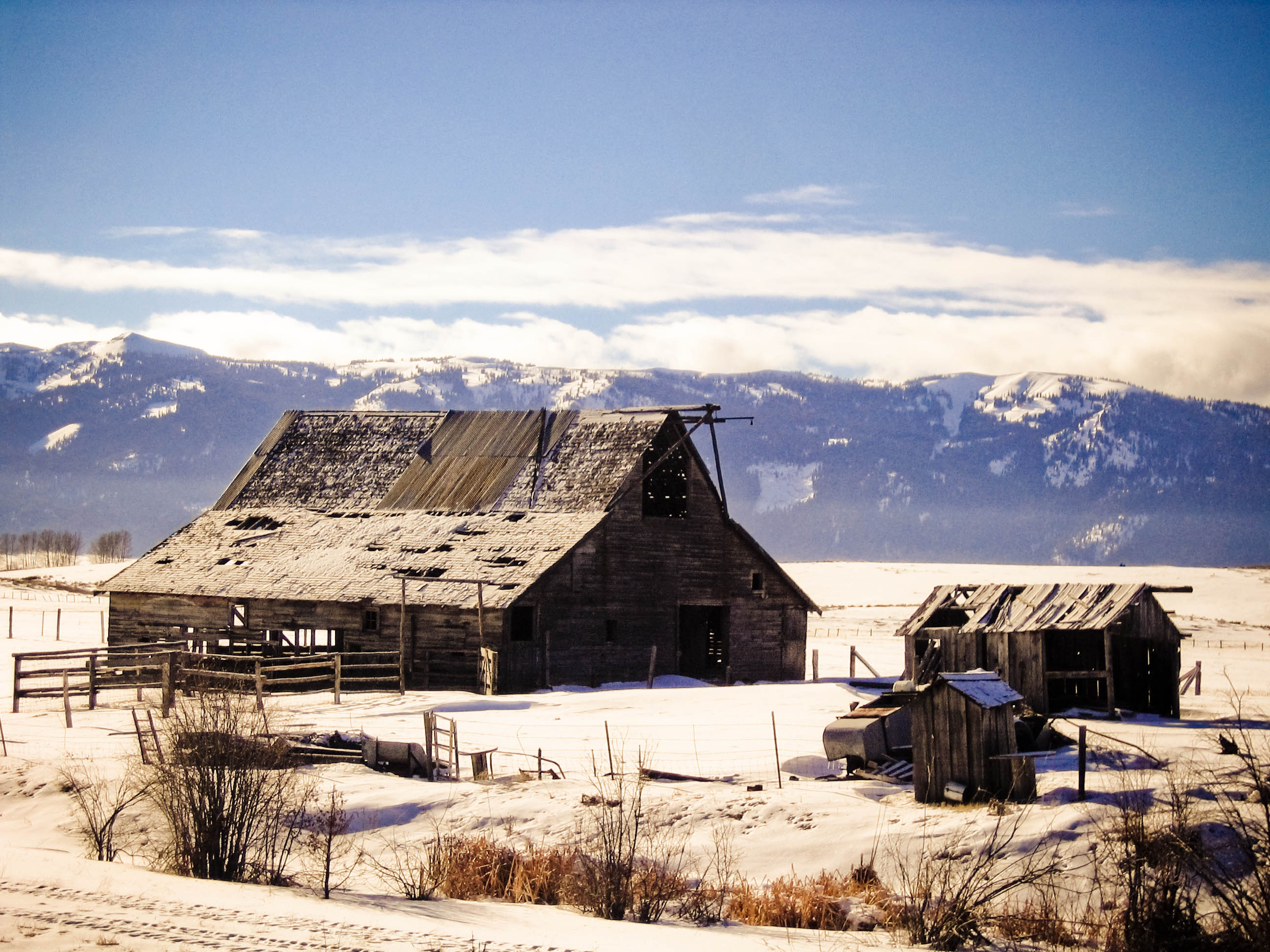
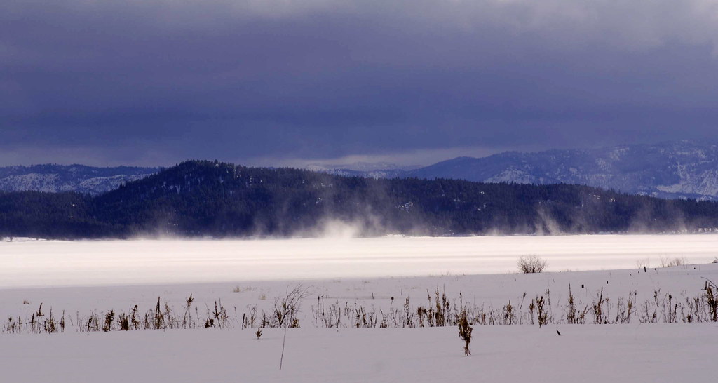
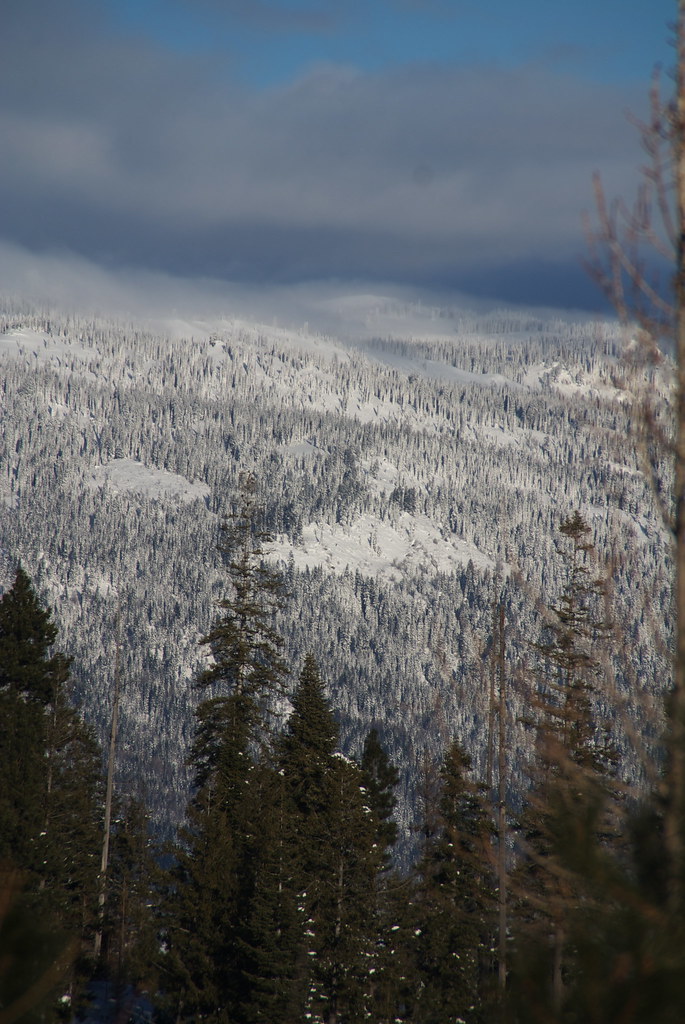
Figures in a snowy landscape

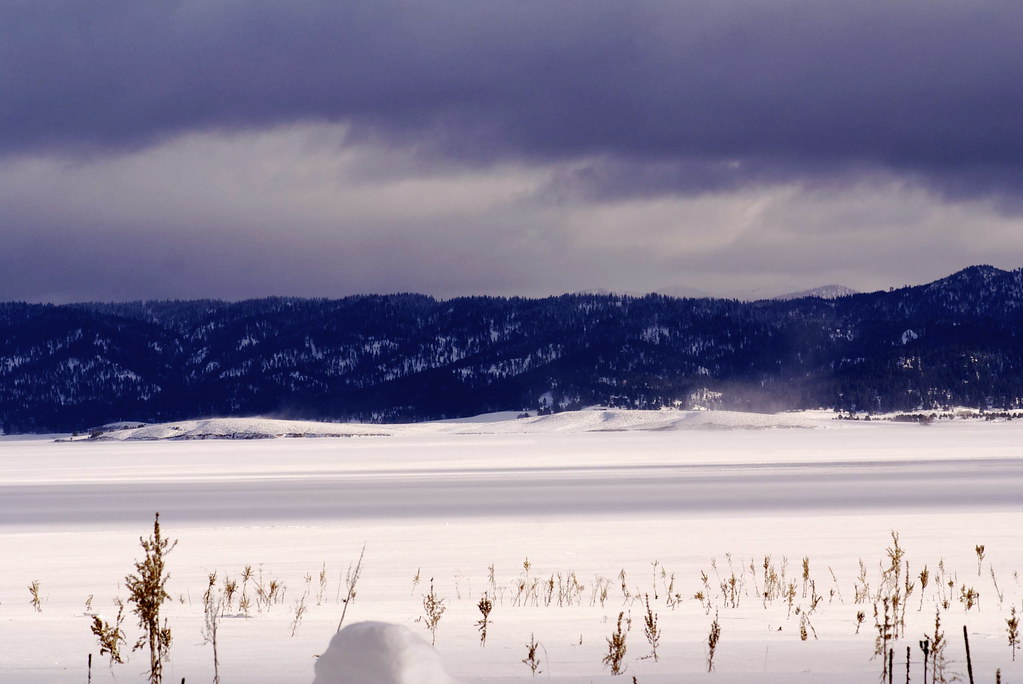
Low lying ground
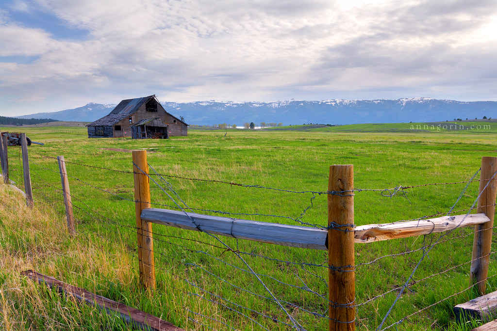
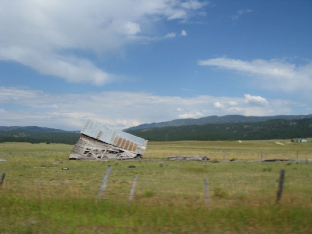
Falling apart
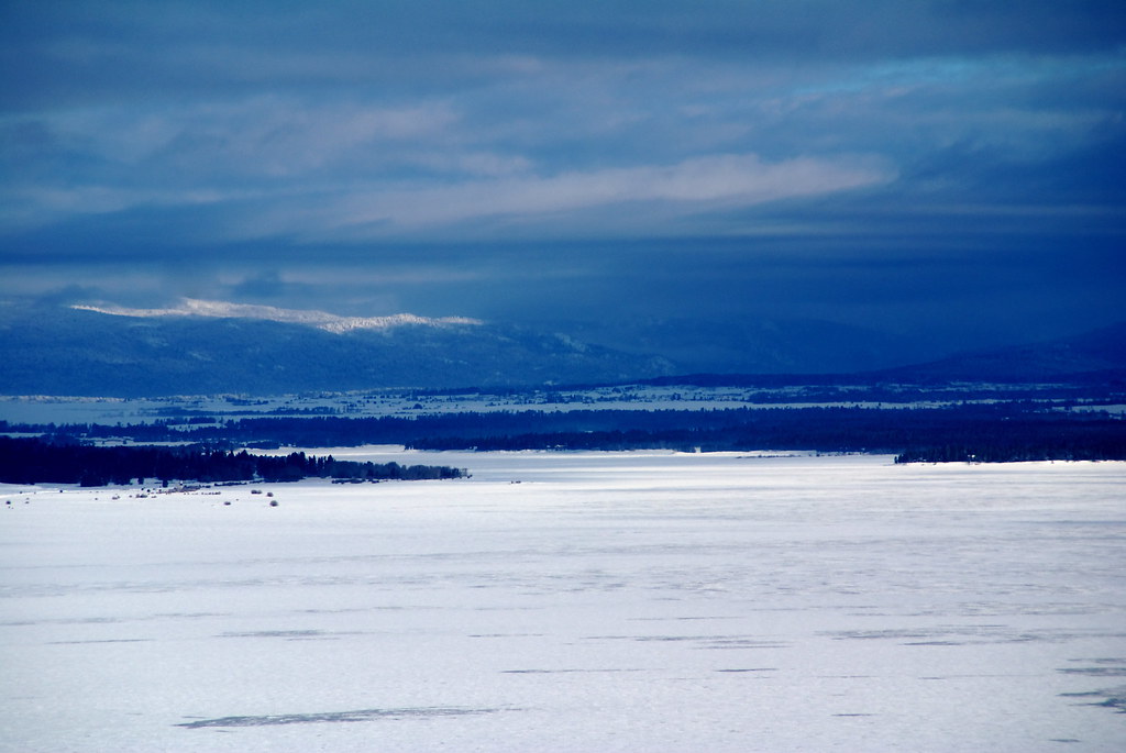
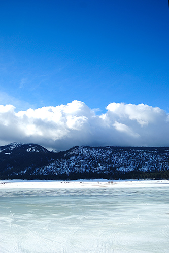
Cascade Lake
Lake Cascade
Cascade Lake
Winter on West Mountain

Meadow and mountain
Winter on West Mountain

North Fork of the Payette River 2- side stream
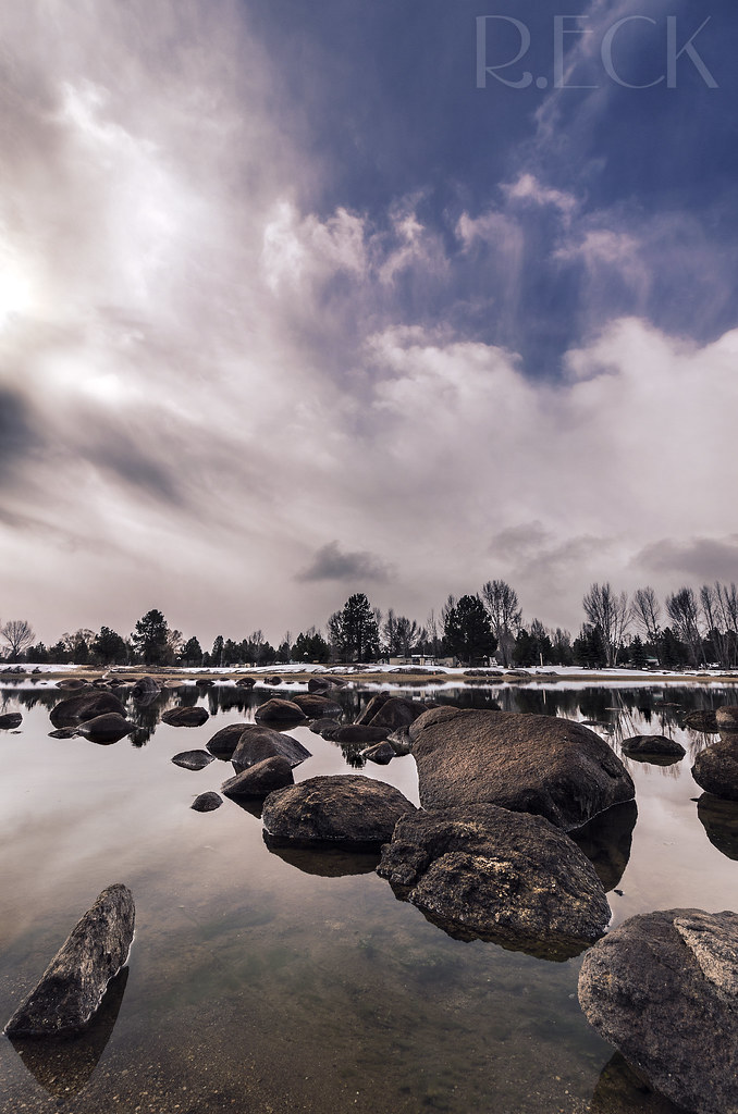
The frozen beach
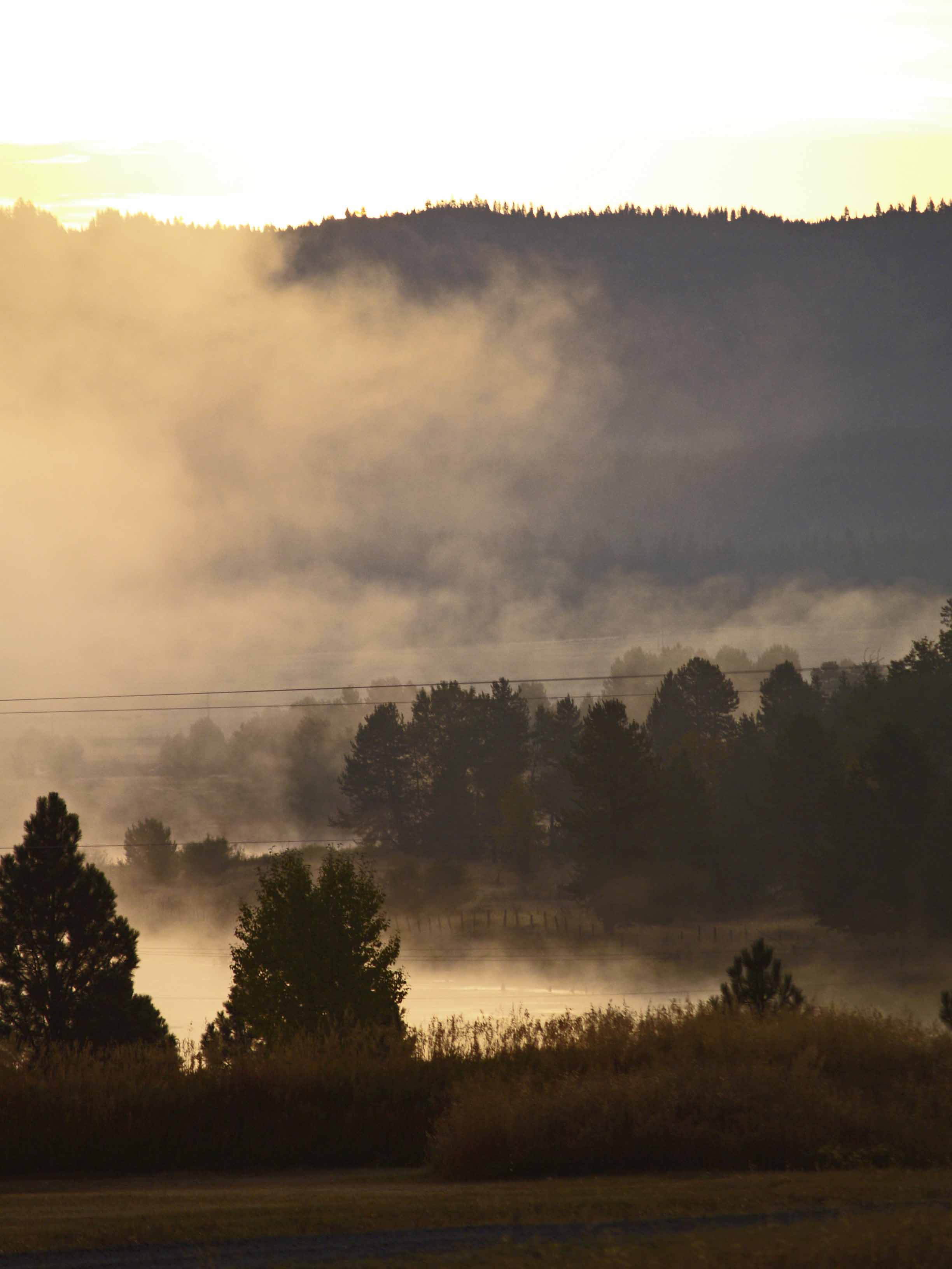
Morning Mist 4 on the North Fork of the Payette River near Cascade ID
2010-07-30_whitefish2_071

Wood pole fence
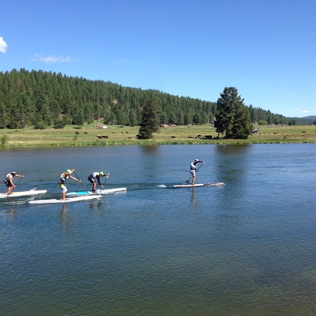
Congrats to Slater for winning the Elite SUP Sprint race this weekend at the Payette River Games. Here his is in the finals on his Infinity Blackfish leading the pack. @slatertrout @infinity_sup @brodywelte @thebrownblurr #prg14 #blackfish #1st #sup #padd
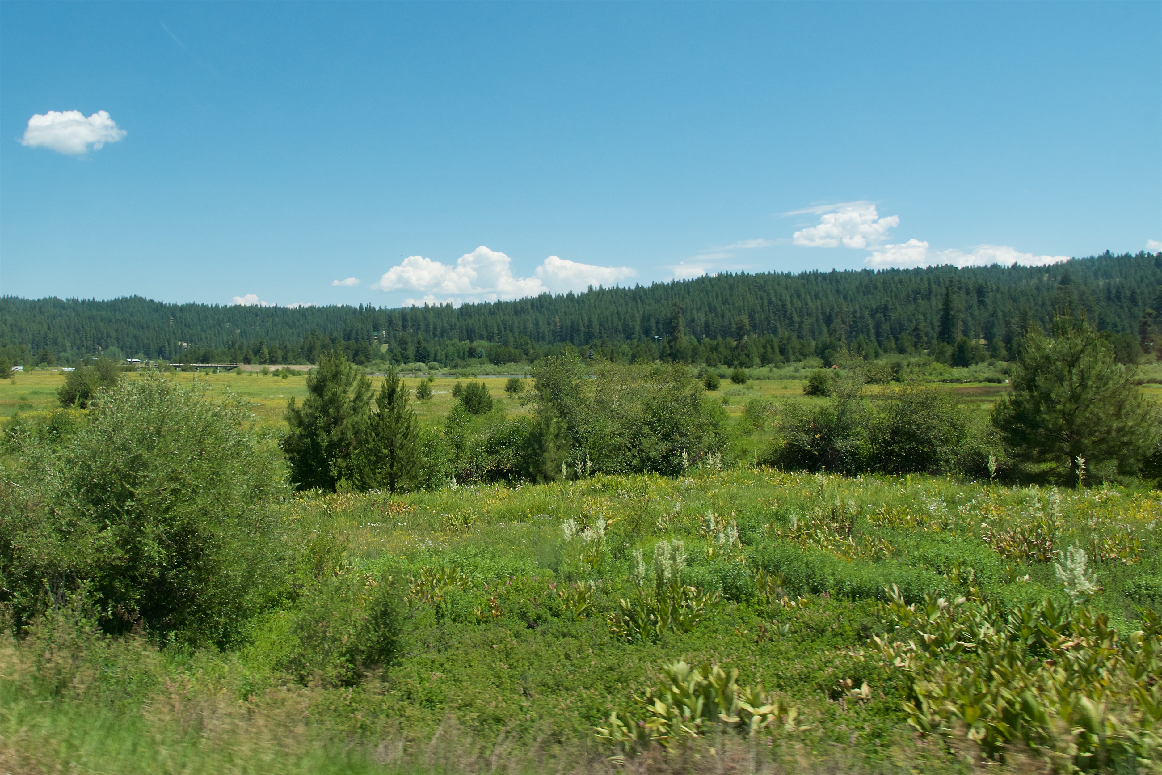
Payette River
Rapid Fire
Rapid Fire
Topographic Map of Cabarton Rd, Cascade, ID, USA
Find elevation by address:

Places near Cabarton Rd, Cascade, ID, USA:
Cascade
Shepherd-the Mountain Lutheran
Warner Drive
96 Little Donner Dr
96 Little Donner Dr
90 Goslin Loop
ID-55, Cascade, ID, USA
Donnelly
13161 Cameron Dr
Perch Court
13218 Brookie Rd
13238 Brookie Rd
13240 Kokanee Dr
13211 Brookie Rd
Brookie Road
Brookie Road
13239 Kokanee Dr
54 Scheline Ln
690 High Valley Rd
690 High Valley Rd
Recent Searches:
- Elevation of Corso Fratelli Cairoli, 35, Macerata MC, Italy
- Elevation of Tallevast Rd, Sarasota, FL, USA
- Elevation of 4th St E, Sonoma, CA, USA
- Elevation of Black Hollow Rd, Pennsdale, PA, USA
- Elevation of Oakland Ave, Williamsport, PA, USA
- Elevation of Pedrógão Grande, Portugal
- Elevation of Klee Dr, Martinsburg, WV, USA
- Elevation of Via Roma, Pieranica CR, Italy
- Elevation of Tavkvetili Mountain, Georgia
- Elevation of Hartfords Bluff Cir, Mt Pleasant, SC, USA