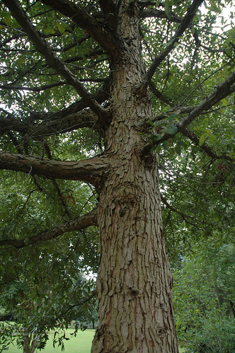
Elevation of Hutto Pond Rd, Aiken, SC, USA
Location: United States > South Carolina > Aiken County > Aiken >
Longitude: -81.560033
Latitude: 33.7145644
Elevation: 143m / 469feet
Barometric Pressure: 100KPa
Related Photos:
Topographic Map of Hutto Pond Rd, Aiken, SC, USA
Find elevation by address:

Places near Hutto Pond Rd, Aiken, SC, USA:
2890 New Holland Rd
1380 Bethcar Church Rd
387 Wexford Mill Rd
205 Jordan Loop
Wagener
Windsor
1324 Charles Town Rd
703 Centerwood Rd
Williston
3330 Crane Way
1727 Ninety 6 Rd
1144 Woodford Rd
1400 Pioneer Rd
50 Springs Ct, Blackville, SC, USA
North Fork Edisto River
Barnwell County
210 Gun Shop Rd
Swansea
North
Neeses
Recent Searches:
- Elevation of Corso Fratelli Cairoli, 35, Macerata MC, Italy
- Elevation of Tallevast Rd, Sarasota, FL, USA
- Elevation of 4th St E, Sonoma, CA, USA
- Elevation of Black Hollow Rd, Pennsdale, PA, USA
- Elevation of Oakland Ave, Williamsport, PA, USA
- Elevation of Pedrógão Grande, Portugal
- Elevation of Klee Dr, Martinsburg, WV, USA
- Elevation of Via Roma, Pieranica CR, Italy
- Elevation of Tavkvetili Mountain, Georgia
- Elevation of Hartfords Bluff Cir, Mt Pleasant, SC, USA


