Elevation of Gun Shop Rd, Neeses, SC, USA
Location: United States > South Carolina > Orangeburg County > Neeses >
Longitude: -81.134331
Latitude: 33.543311
Elevation: 108m / 354feet
Barometric Pressure: 100KPa
Elevation Map:
Satellite Map:
Related Photos:
skyscraper, Norway SC
Slab Landing

21DEC11: Globemaster III over Bull Swamp
Great Branch Opening01

small red snake
C-17 Globemaster

sidewalk petunias
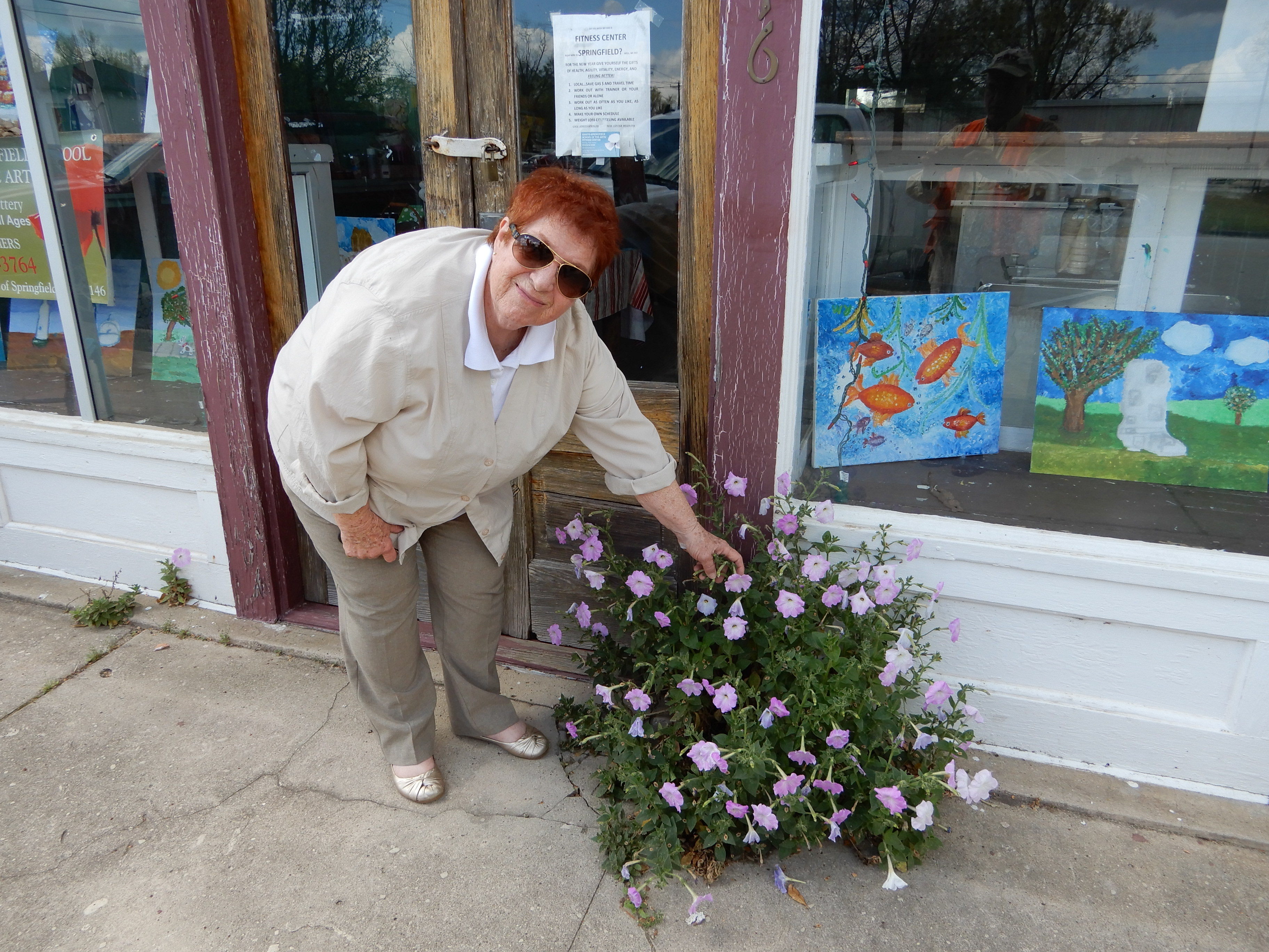
Mrs. Hiers, the Empress of Springfield
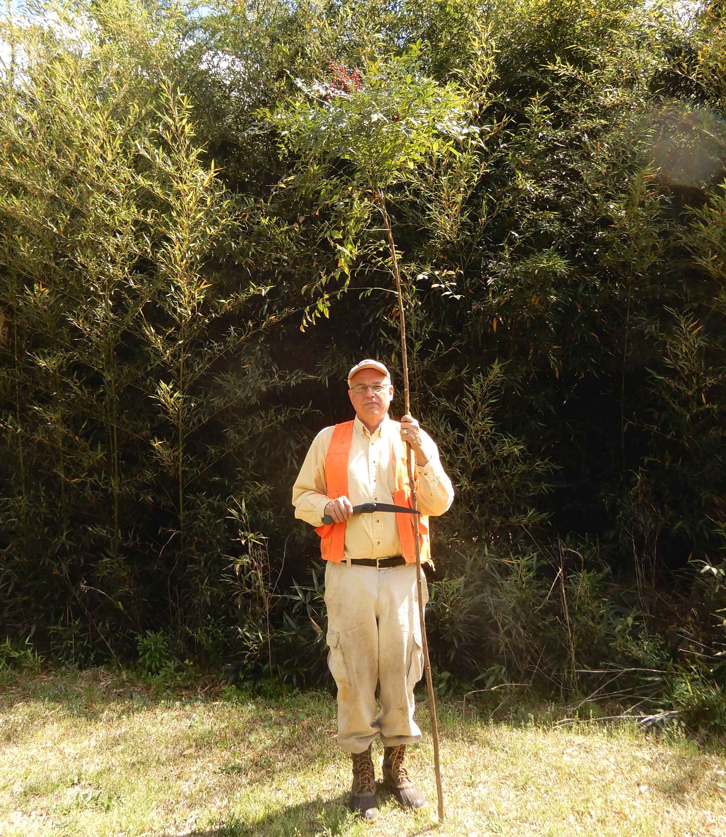
tall Nandina

Poole's Crossroads

Springfield-033
Springfield-032
Springfield-031
Springfield-030
Springfield-029

Springfield-028
Springfield-027
Springfield-026
Springfield-025
Springfield-023
Springfield-021

Springfield-020
Springfield-019

Springfield-018
Springfield-017
Topographic Map of Gun Shop Rd, Neeses, SC, USA
Find elevation by address:

Places near Gun Shop Rd, Neeses, SC, USA:
Neeses
North Fork Edisto River
Orangeburg County
North
Norway
1727 Ninety 6 Rd
1 Creek Aly, Norway, SC, USA
1144 Woodford Rd
101 Pandanus Rd
Swansea
50 Springs Ct, Blackville, SC, USA
Cope
222 Lost Valley Dr
Wagener
Landing Way
1324 Charles Town Rd
Bamberg
Main Hwy, Bamberg, SC, USA
Broad Street
3700 Main Hwy
Recent Searches:
- Elevation of Corso Fratelli Cairoli, 35, Macerata MC, Italy
- Elevation of Tallevast Rd, Sarasota, FL, USA
- Elevation of 4th St E, Sonoma, CA, USA
- Elevation of Black Hollow Rd, Pennsdale, PA, USA
- Elevation of Oakland Ave, Williamsport, PA, USA
- Elevation of Pedrógão Grande, Portugal
- Elevation of Klee Dr, Martinsburg, WV, USA
- Elevation of Via Roma, Pieranica CR, Italy
- Elevation of Tavkvetili Mountain, Georgia
- Elevation of Hartfords Bluff Cir, Mt Pleasant, SC, USA