Elevation of Lost Valley Dr, Swansea, SC, USA
Location: United States > South Carolina > Lexington County > Swansea >
Longitude: -80.972697
Latitude: 33.728285
Elevation: 110m / 361feet
Barometric Pressure: 100KPa
Elevation Map:
Satellite Map:
Related Photos:
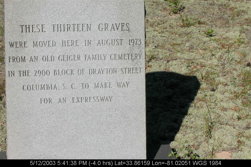
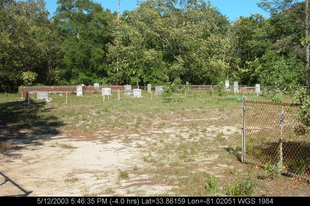
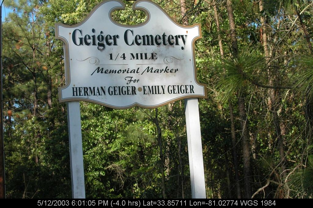
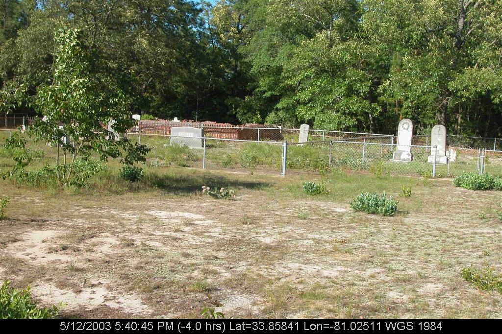
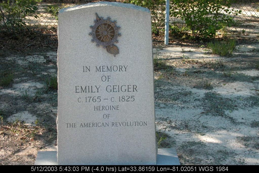
geiger3.JPG
DSCN1450.JPG

DSCN1449.JPG

View Out of Aircraft Window
geiger8.JPG
geiger7.JPG

DSCN1451.JPG
geiger2.JPG
geiger13.JPG
DSCN1447.JPG
DSCN1453.JPG
geiger5.JPG
geiger1.JPG

geiger15.JPG
geiger10.JPG
geiger14.JPG
geiger9.JPG
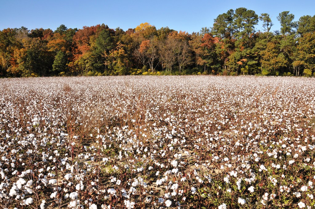
Cotton field

21DEC11: Globemaster III over Bull Swamp

Eclipta prostrata
Topographic Map of Lost Valley Dr, Swansea, SC, USA
Find elevation by address:

Places near Lost Valley Dr, Swansea, SC, USA:
Swansea
210 Calhoun Rd
North
1144 Woodford Rd
Orangeburg County
Saint Matthews
State Rd S-9-46, St Matthews, SC, USA
301 Dantzler St
Calhoun County
Landing Way
101 Pandanus Rd
Orangeburg County Landfill
210 Gun Shop Rd
Neeses
1 Oc, Orangeburg, SC, USA
Rosehaven Ln, Orangeburg, SC, USA
460 Langley Rd
Broad Street
South Carolina State University
Orangeburg
Recent Searches:
- Elevation of Corso Fratelli Cairoli, 35, Macerata MC, Italy
- Elevation of Tallevast Rd, Sarasota, FL, USA
- Elevation of 4th St E, Sonoma, CA, USA
- Elevation of Black Hollow Rd, Pennsdale, PA, USA
- Elevation of Oakland Ave, Williamsport, PA, USA
- Elevation of Pedrógão Grande, Portugal
- Elevation of Klee Dr, Martinsburg, WV, USA
- Elevation of Via Roma, Pieranica CR, Italy
- Elevation of Tavkvetili Mountain, Georgia
- Elevation of Hartfords Bluff Cir, Mt Pleasant, SC, USA