Elevation of Langley Rd, Orangeburg, SC, USA

Location: United States > South Carolina > Orangeburg County > Orangeburg >

Longitude: -80.779022

Latitude: 33.559391

Elevation: 67m / 220feet

Barometric Pressure: 101KPa

Elevation Map:

elevation map of Langley Rd, Orangeburg, SC, USA

Satellite Map:

Satellite map of Langley Rd, Orangeburg, SC, USA

Related Photos:

august 2017 bowman sc southcarolina yonderfield sunglasses telescope
Ready for an upclose view
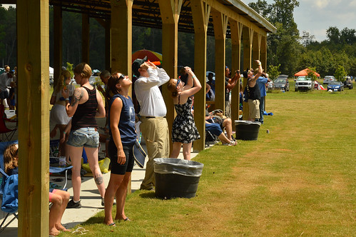
2017 august southcarolina yonderfield sc bowman eclipse sky clouds
And then the sky cleared
august 2017 bowman sc southcarolina yonderfield family sunglasses kids child children kid
Keeping an eye on the sun
august 2017 bowman sc southcarolina yonderfield panorama sky clouds
The sky starts to open
august 2017 bowman sc southcarolina yonderfield sun eclipse
Before anything started
metal heavy engine motor massive steel iron glass orangeburg sc rails wheels wires hydraulic fe 3816 penn central leasing penncentralleasing gravel carolina eisen danger mass physics science view camera sky love pennsylvania southcarolina usc
engine in Orangeburg
2017 august southcarolina yonderfield sc bowman eclipse kingofpops popsicle
Complete with eclipse viewing glasses
2017 august southcarolina yonderfield sc bowman eclipse volcano inflatables sky clouds
Volcano view
csxt csxtransportation atlanticcoastline acl railroad orangeburgsubdivision orangeburg southcarolina emd roadslug 2220 manifest train
A Tight View
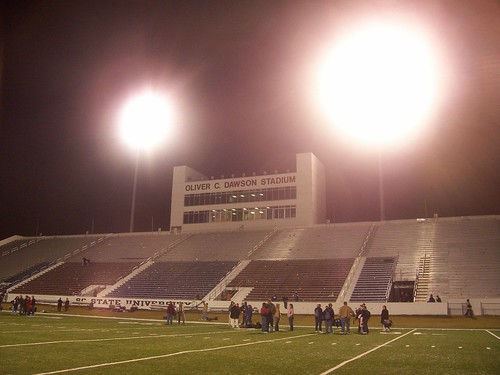
sc sports football university state stadium south carolina scsu hbcu orangeburg
Stadium View
vwscirocco
The Brit
apt orangeburg
living room view 2
apt orangeburg
living room view 1
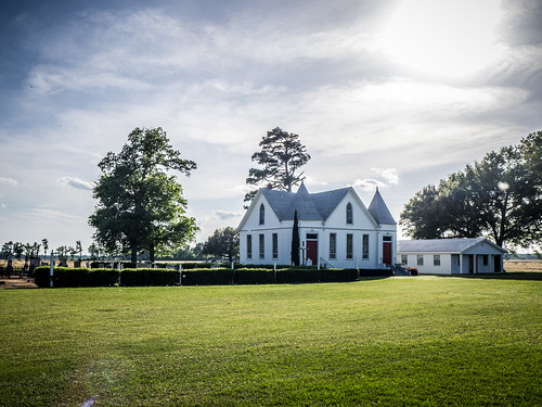
blue sky sc church cemetery st south carolina lutheran matthews creston
St. Matthew's Lutheran Church
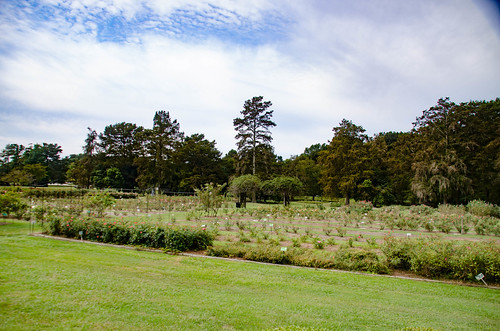
gardens us unitedstates southcarolina rambling edisto highway301 orangeburg mossheights tobaccotrail
Edisto Gardens
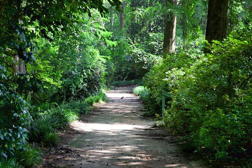
sc canon path southcarolina riverwalk edisto orangeburg edistoriver orangeburgcounty edistogardens orangeburgsc
A Path to Nowhere
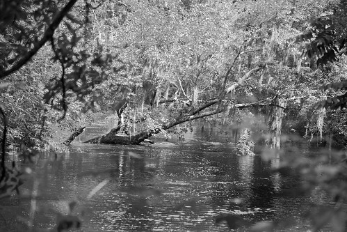
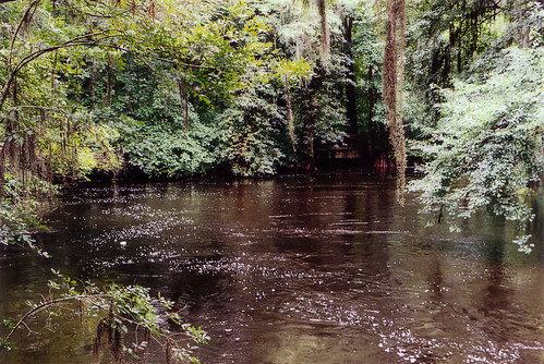
blackandwhite bw sc water canon river landscape southcarolina canon5d edisto blackwaterriver riverscape edistoriver longestfreeflowingblackwaterriverinnorthamerica
The River Runs Through It
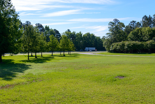
southcarolina restarea i26 orangeburg interstate26 nikond800
160609-1637 Orangeburg
flower rose gardens canon rosegarden edisto orangeburg edistoriver canon1dmarkii canon1dmark2 edistogardens orangeburgsc canonef24105f4lisusm mygearandme
Edisto Gardens
travel southcarolina edisto orangeburg
Edisto Memorial Garden
sc unitedstates southcarolina kayaking paddling lakemarion santeeriver lcu elloree lowcountryunfiltered lowfallslanding poplarcreeklanding
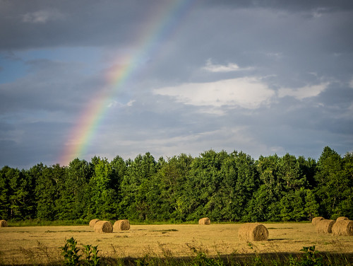
Rainbow over Hayfield in Calhoun County
sc unitedstates southcarolina kayaking paddling lakemarion santeeriver lcu elloree lowcountryunfiltered lowfallslanding poplarcreeklanding
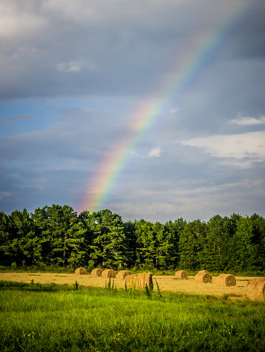
Rainbow over Hayfield in Calhoun County
southcarolina kayaking paddling lakemarion santeeriver lcu lowcountryunfiltered lowfallslanding poplarcreeklanding
Rainbow over Calhoun County Farm
church cemetery us unitedstates southcarolina cameron kayaking paddling creston
Saint Matthews Lutheran-001
southcarolina isleofpalms patriotspoint charleston charlestonsouthcarolina carolinasbeaches beaches downtowncharleston hiltonheadisland hiltonhead follybeach follyfieldsbeach framptonplantation northcarolina thecarolinas visitnorthcarolina visitsouthcarolina carolinaphotography
Frampton Plantation - Spanish Moss
gardens us unitedstates southcarolina rambling edisto highway301 orangeburg mossheights tobaccotrail
Edisto Gardens
OCC April Sunset
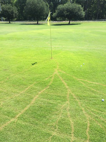
Occ lightning strike
house
backyard 1