Elevation of Saint Matthews, St Matthews, SC, USA

Location: United States > South Carolina > Calhoun County >

Longitude: -80.777868

Latitude: 33.664876

Elevation: 88m / 289feet

Barometric Pressure: 100KPa

Elevation Map:

elevation map of Saint Matthews, St Matthews, SC, USA
Satellite Map:

Satellite map of Saint Matthews, St Matthews, SC, USA

Related Photos:

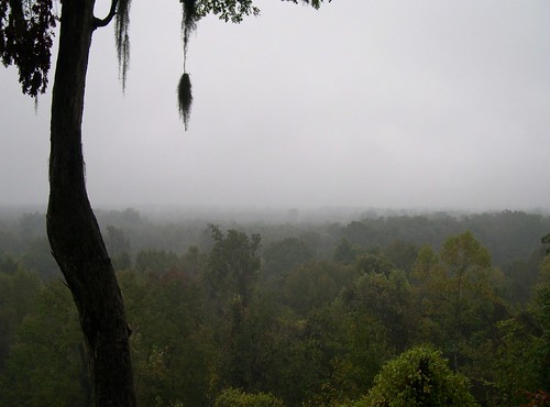
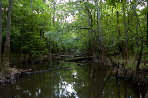
autumn mist tree sc fog forest river moss oak quercus ancient october quiet southcarolina swamp spanishmoss tillandsia carolina cypress bluff damp wetland congaree floodplain nyssa primeval taxodium
Congaree Bluffs
usa nikon southcarolina parks national congareenationalpark d80 gaugamela
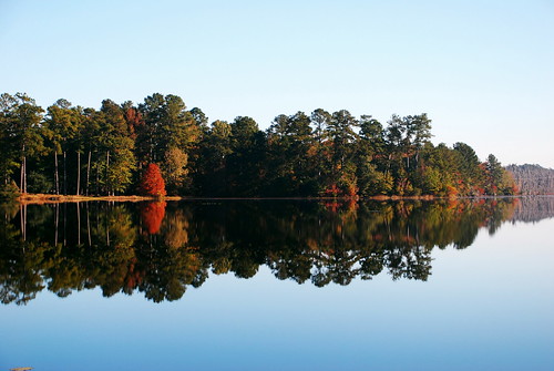
Congaree National Park 1
usa nikon southcarolina parks national congareenationalpark d80 gaugamela
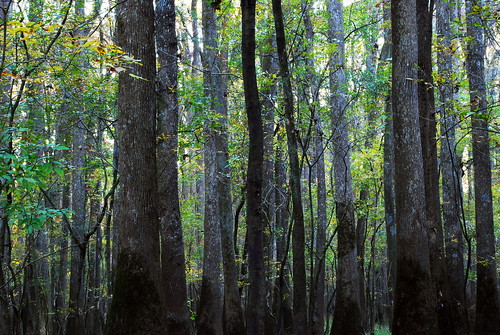
Congaree National Park 3
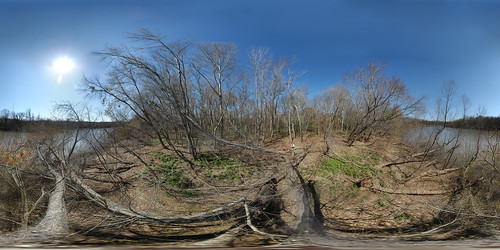
park autostitch tree forest geotagged 360 180 national congaree equirectangular psphere geolat337801 geolon807733
Congaree National Park - Dead River Lake (180 x 360 degree panorama)
park autostitch tree forest river geotagged 360 180 national congaree equirectangular psphere geolat337702 geolon807866
Congaree River (180 x 360 degree panorama)
park panorama copyright lake geotagged pano 360 national sphere oxbow congaree deadriver ptgui enblend equirectangular geolon80773619 geolat33779726
Congaree National Park - Dead River Lake (360 Panorama)
panorama southcarolina bluffs congaree calhouncounty congareeriver turkeytrack congareebluffs cowaseebasin
Panorama of the Bluffs
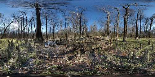
park old autostitch panorama forest river geotagged dead gut pano 360 national congaree geolat337823 geolon807729
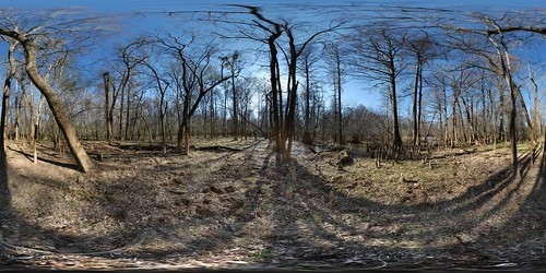
Congaree National Park - Dead River Gut (360 degree panorama)
usa nikon southcarolina parks national congareenationalpark d80 gaugamela
Congaree National Park 2
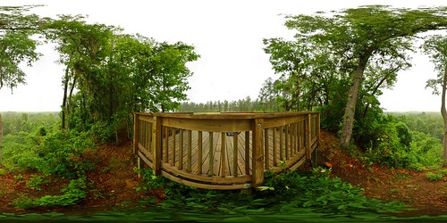
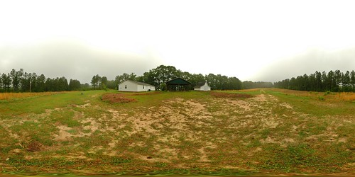
park panorama heritage calhoun pano 360 bluffs preserve congaree dnr equirectangular naturalresources scdnr
Over the rail
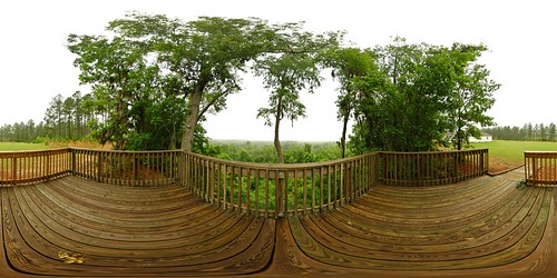
park panorama heritage calhoun pano 360 bluffs preserve congaree dnr equirectangular naturalresources scdnr
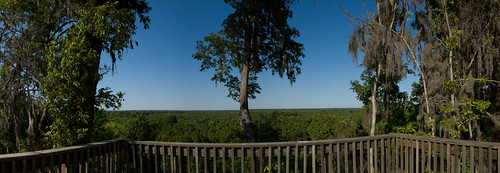
Congaree view
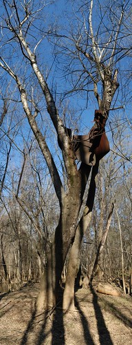
park autostitch tree metal geotagged national congaree geolat337825 olddeadriver geolon8077275
2006-02-26 Congaree NP - Dead River Metal Tree
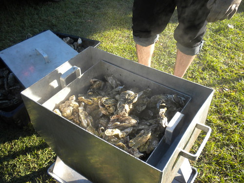
camera autumn shells man hot cooking animals dinner dead view oven mud legs sauce muscle knife cook fresh steam dirt gross smell heat carolina seafood oysters hungry alive shins sodium thermal stinky apparatus mollusc mollusk bivalve huitres austern estuarine esturaine
roasted oysters
park panorama heritage calhoun pano 360 bluffs preserve congaree dnr equirectangular naturalresources scdnr
At the education center
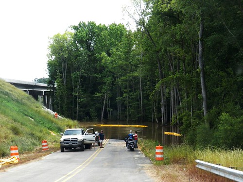
people sc water danger truck flow boat spring occasional flood southcarolina pickup event swamp carolina unusual congaree floodplain
Congaree River
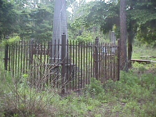
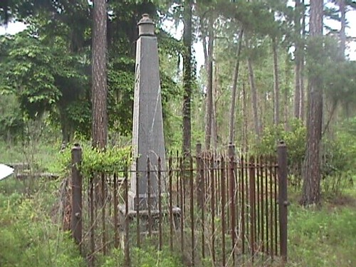
sc cemetery geotagged calhouncounty geo:lat=3374378 geo:lon=8064943
MVC-013F.JPG
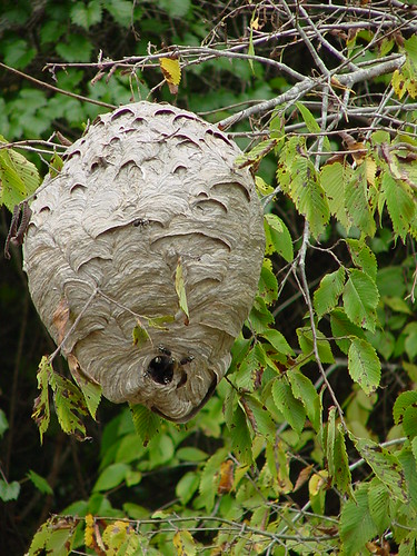
congaree national park swamp monument hornets nest nature geotagged geolat3375675 geolon8069225 nationalpark
Hornets (Congaree River)
sc cemetery geotagged calhouncounty geo:lat=3374378 geo:lon=8064943
MVC-010F.JPG
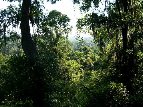
sky tree pine forest landscape moss oak woods view calhoun air hill scene foliage southern swamp vista ash cypress bluff hickory richland carya floodplain taxodium
Congaree bluff view
water nationalpark swamp congaree congareenationalpark
Oakridge Trail-Congaree National Park
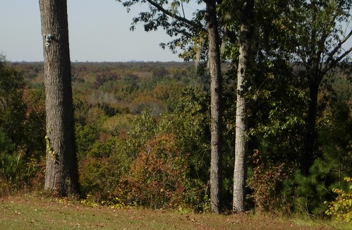
city autumn sc forest landscape southcarolina columbia swamp bluff steep calhouncounty richlandcounty
A view of Columbia, from 22 miles away.
sky tree sc nature field clouds d50 landscape oak nikon southcarolina july cotton agriculture calhouncounty 2011 highway601 marc50
Calhoun County Cotton Field
Congaree National Park 119
kayak canoe swamp conagree
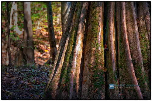
Swell Butt
southcarolina kayaking paddling lakemarion santeeriver lcu lowcountryunfiltered lowfallslanding poplarcreeklanding
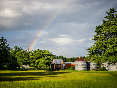
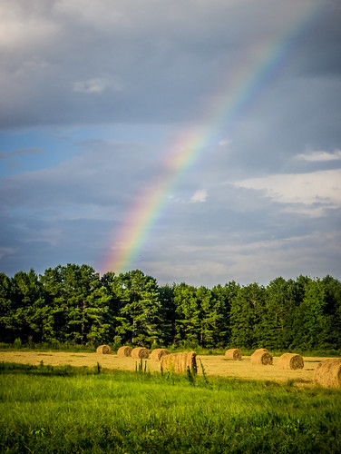
Rainbow over Calhoun County Farm
Congaree National Park 46
southcarolina swamp cypress congaree cypressknees congareenationalpark t2i boardwalktrail canonef40mmf28stm
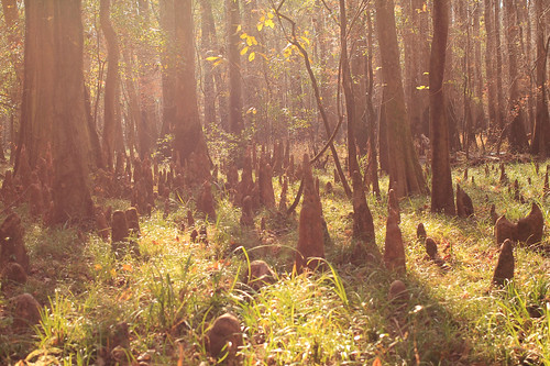
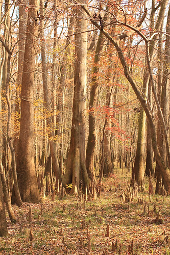
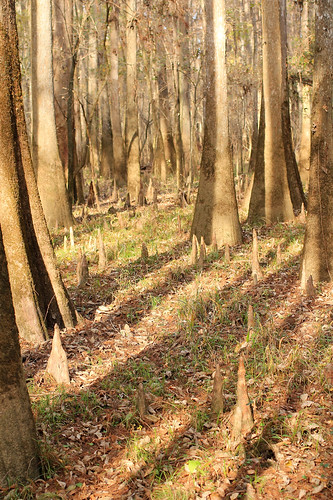
Cypress Knees
park river south national swamp copper carolina congaree
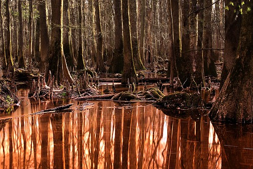
River of Copper
southcarolina swamp cypress congaree cypressknees congareenationalpark t2i boardwalktrail canonef40mmf28stm
Cypress Knees
Congaree National Park 79
Congaree National Park 86
sc unitedstates southcarolina kayaking paddling lakemarion santeeriver lcu elloree lowcountryunfiltered lowfallslanding poplarcreeklanding
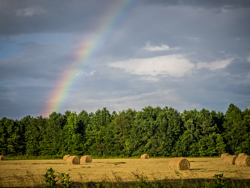
Rainbow over Hayfield in Calhoun County
path southcarolina trail swamp congaree congareenationalpark t2i boardwalktrail canonef40mmf28stm
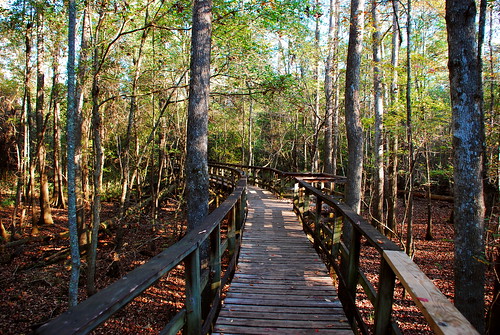
Path Through the Swamp
Congaree National Park 138
Congaree National Park 141
southcarolina swamp cypress congaree cypressknees congareenationalpark t2i boardwalktrail canonef40mmf28stm
Cypress Knees
Congaree National Park 109
blue sky sc church cemetery st south carolina lutheran matthews creston
St. Matthew's Lutheran Church
sc unitedstates southcarolina kayaking paddling lakemarion santeeriver lcu elloree lowcountryunfiltered lowfallslanding poplarcreeklanding
Rainbow over Hayfield in Calhoun County
Congaree National Park 81
shadow southcarolina swamp cypress congaree congareenationalpark t2i boardwalktrail canonef40mmf28stm
Cypress Shadows