Elevation of Town Square St, St Matthews, SC, USA
Location: United States > South Carolina > Calhoun County > Saint Matthews >
Longitude: -80.692903
Latitude: 33.7394782
Elevation: 42m / 138feet
Barometric Pressure: 101KPa
Elevation Map:
Satellite Map:
Related Photos:
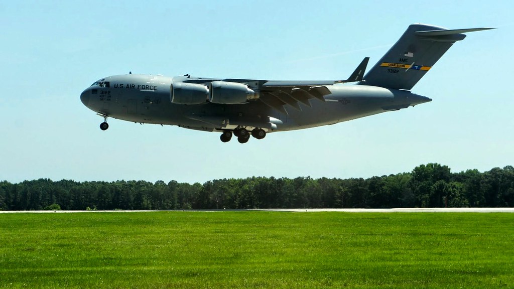
TrackHead Studios - Landing
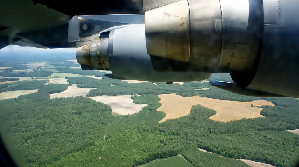
TrackHead Studios - Jet Engines

TrackHead Studios - C-17
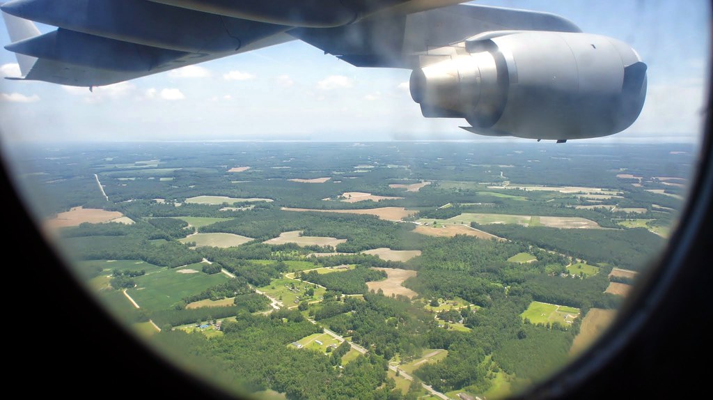
TrackHead Studios - Window Seat

TrackHead Studios - Exit
TrackHead Studios - South Carolina

TrackHead Studios - C-17 in flight

TrackHead Studios - Ear Plugs

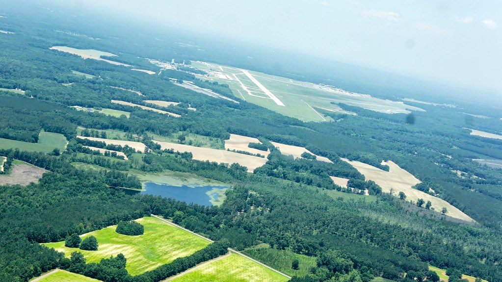
TrackHead Studios - SC Farmland

TrackHead Studios - Cockpit

TrackHead Studios - Meditation

TrackHead Studios - Cadets Graduating

TrackHead Studios - Fighter Jet

TrackHead Studios - Forward March

TrackHead Studios - Rigger

TrackHead Studios - Departures

Foot Bridge

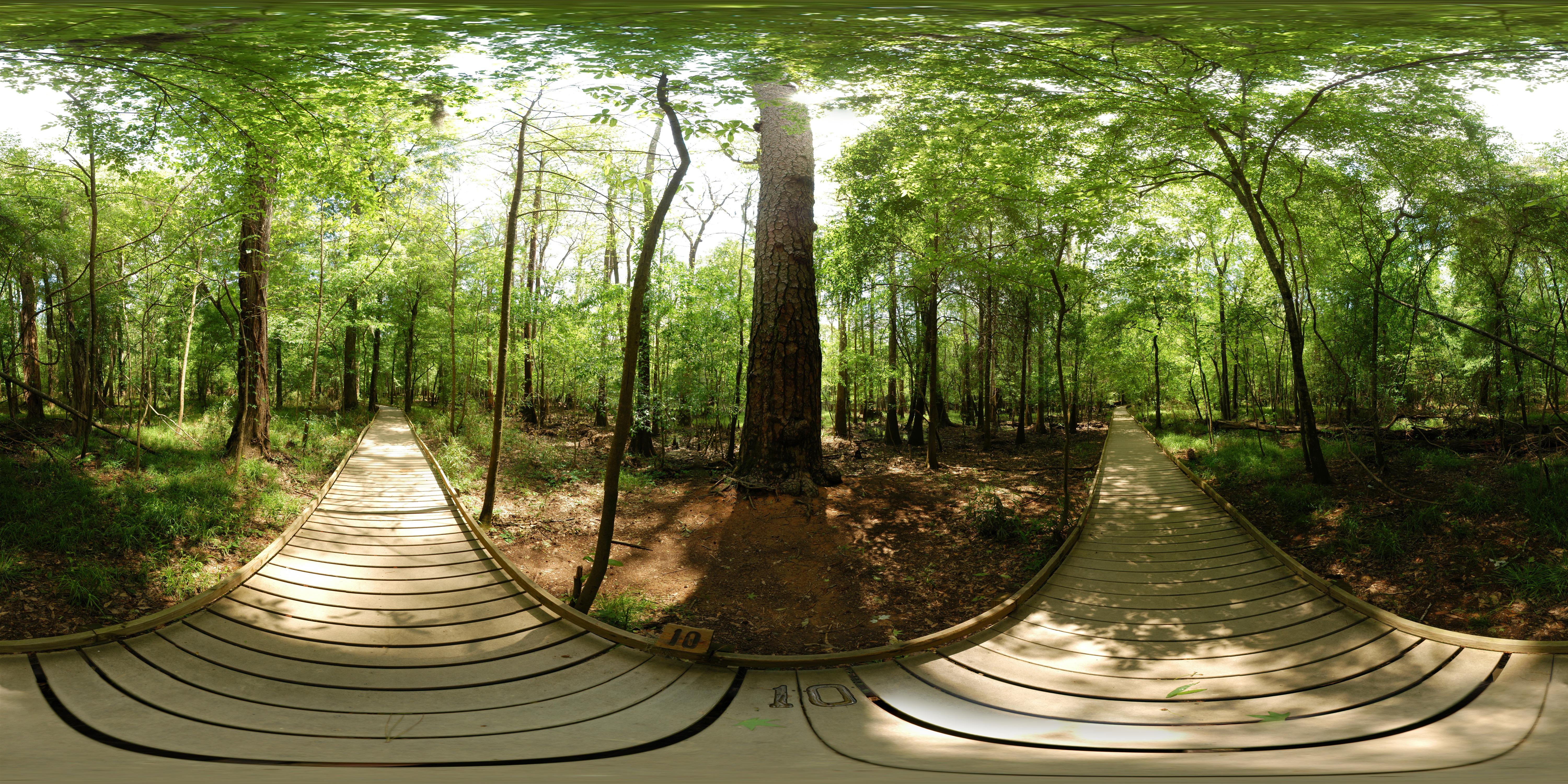
Congaree National Park - Low Boardwalk (360° x 180°)

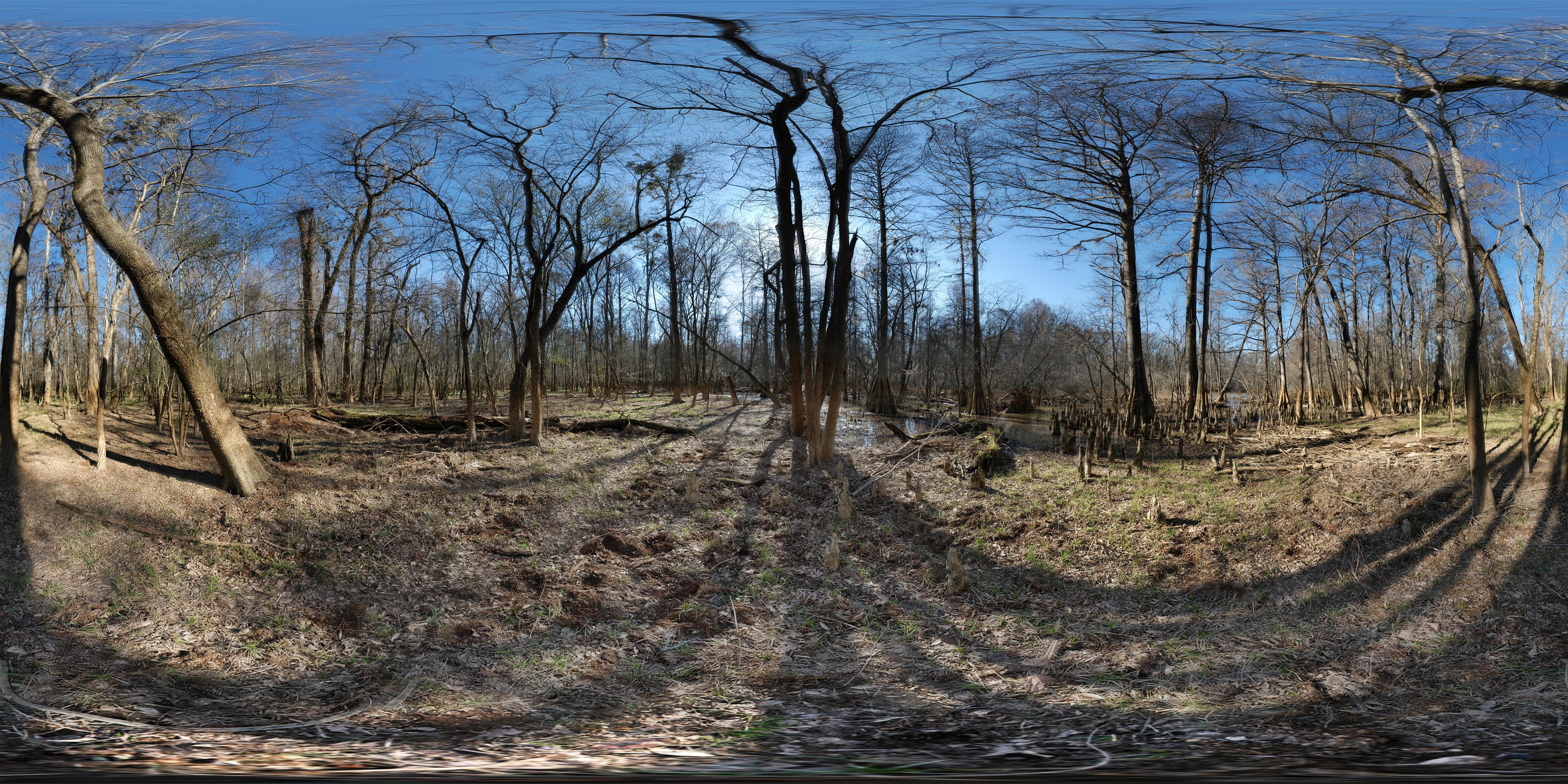
Congaree National Park - Dry Branch (360° x 180°)
Congaree National Park - Dead River Lake (180 x 360 degree panorama)
Congaree National Park - Champion Loblolly Pine - Full sphere (360° x 180°) panorama
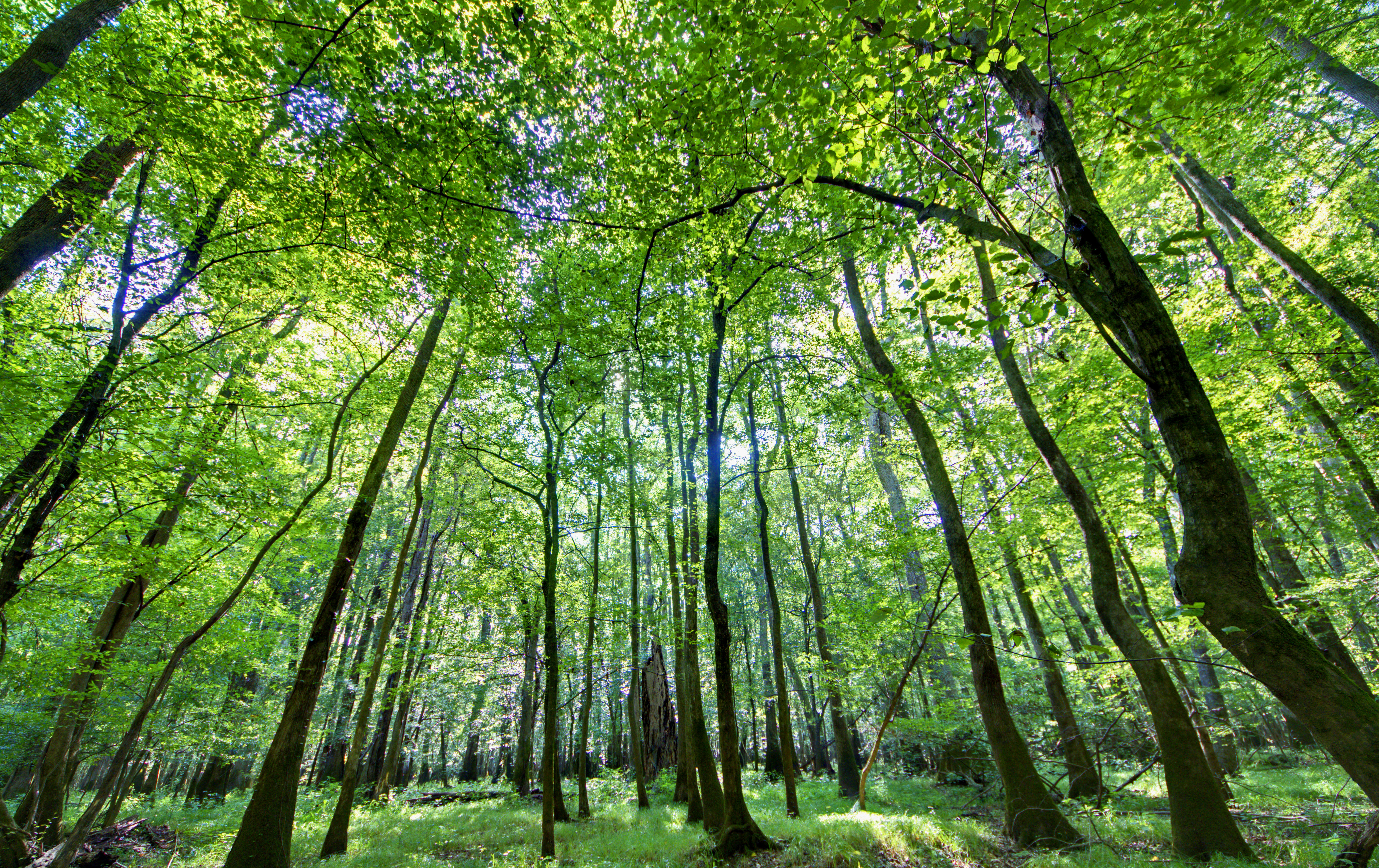
Congaree National Park
2014-01-24
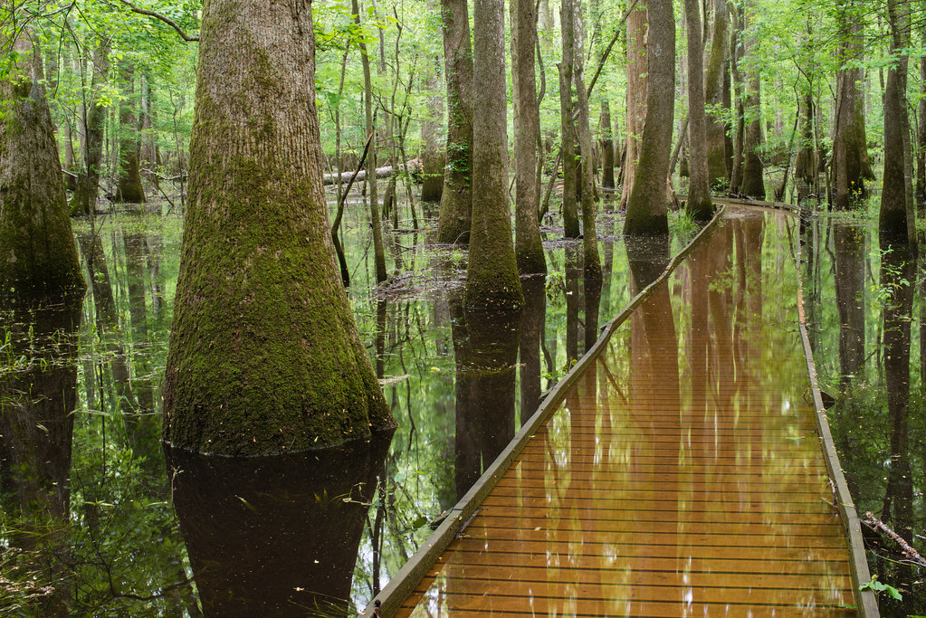
Congaree National Park's flooded boardwalk

Congaree National Park, SC

#congaree #hiking #landscape #wh15
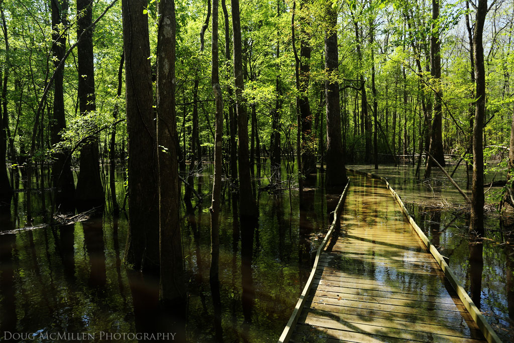
High Water
IMGP2965.jpg

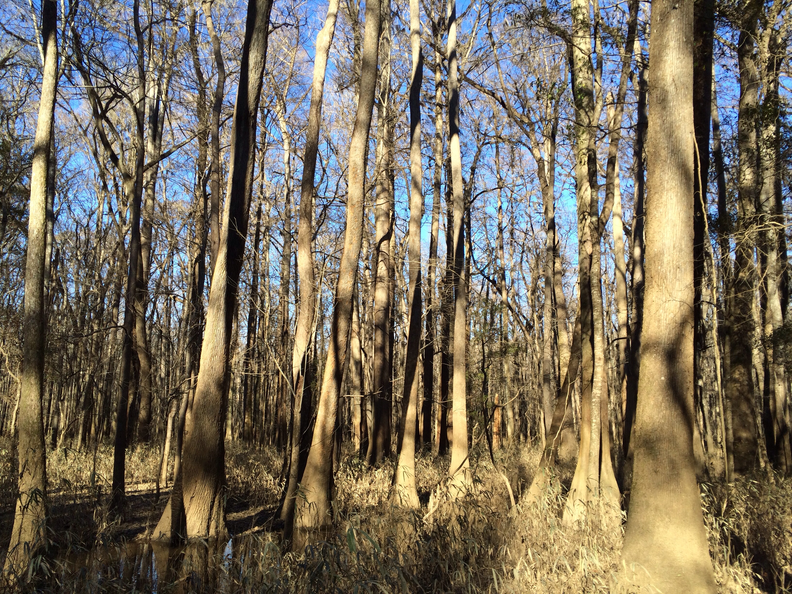
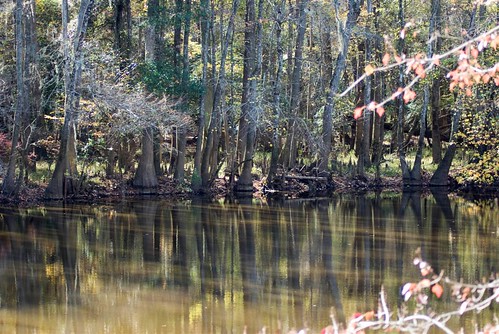
Congaree National Park, SC

Congaree National Park, SC
IMG_0924The not-so-secret location where the mosquitos are raising their army to take over the swamp
#congaree #hiking #landscape #sc #wh15
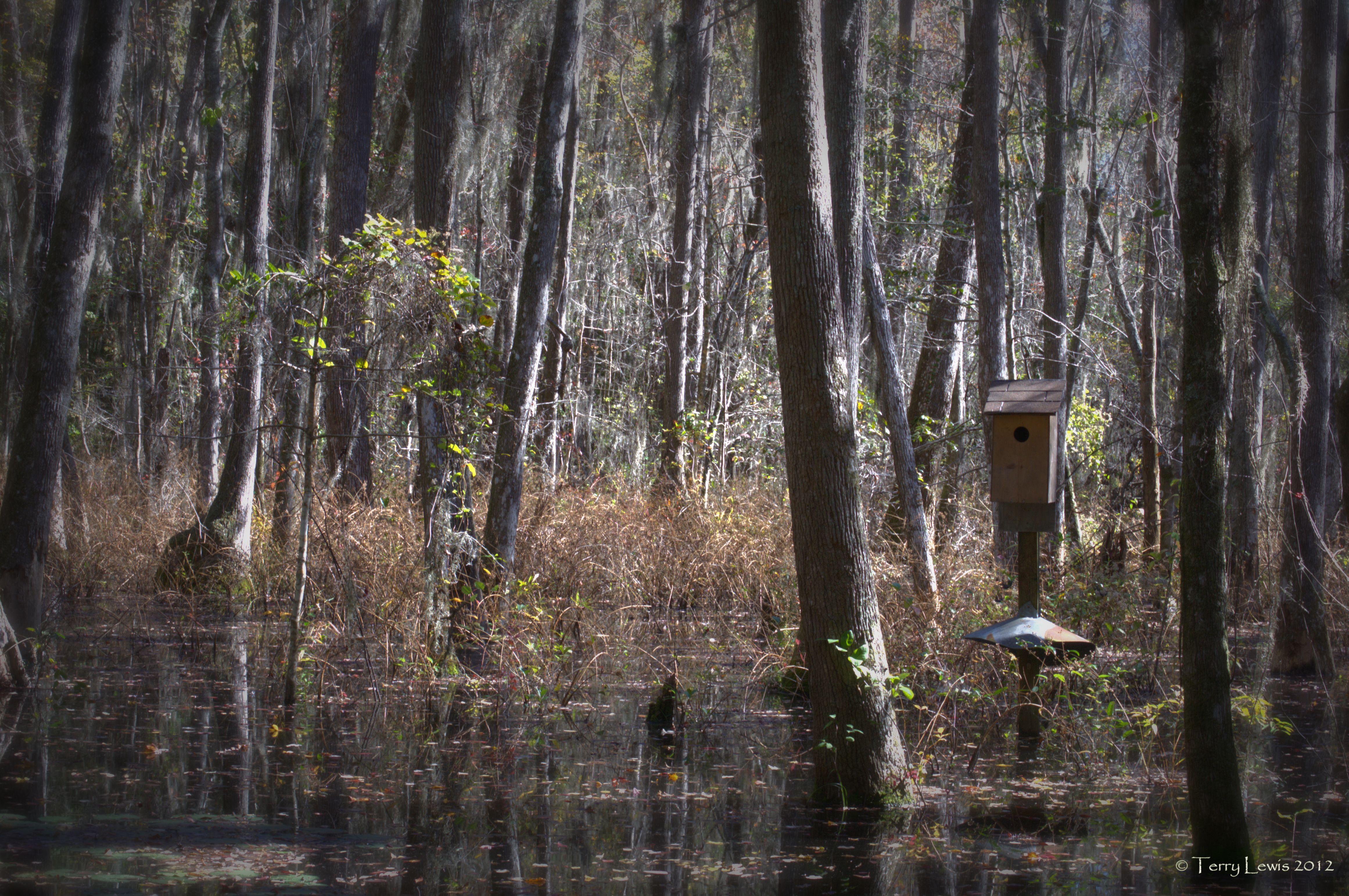
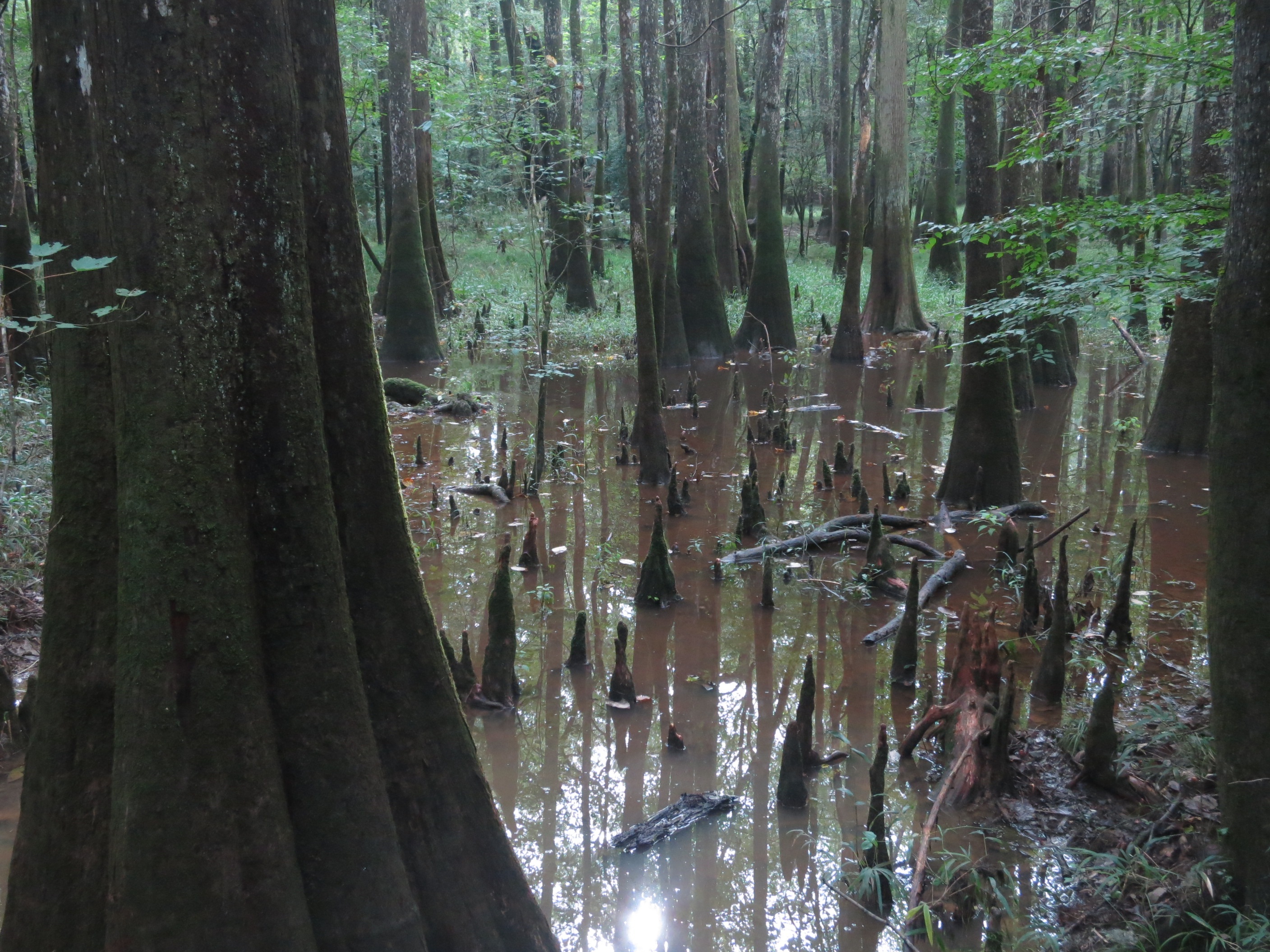
Autumn Wetlands

Calhoun County Cotton Field

Sparkleberry Swamp with LCU-225
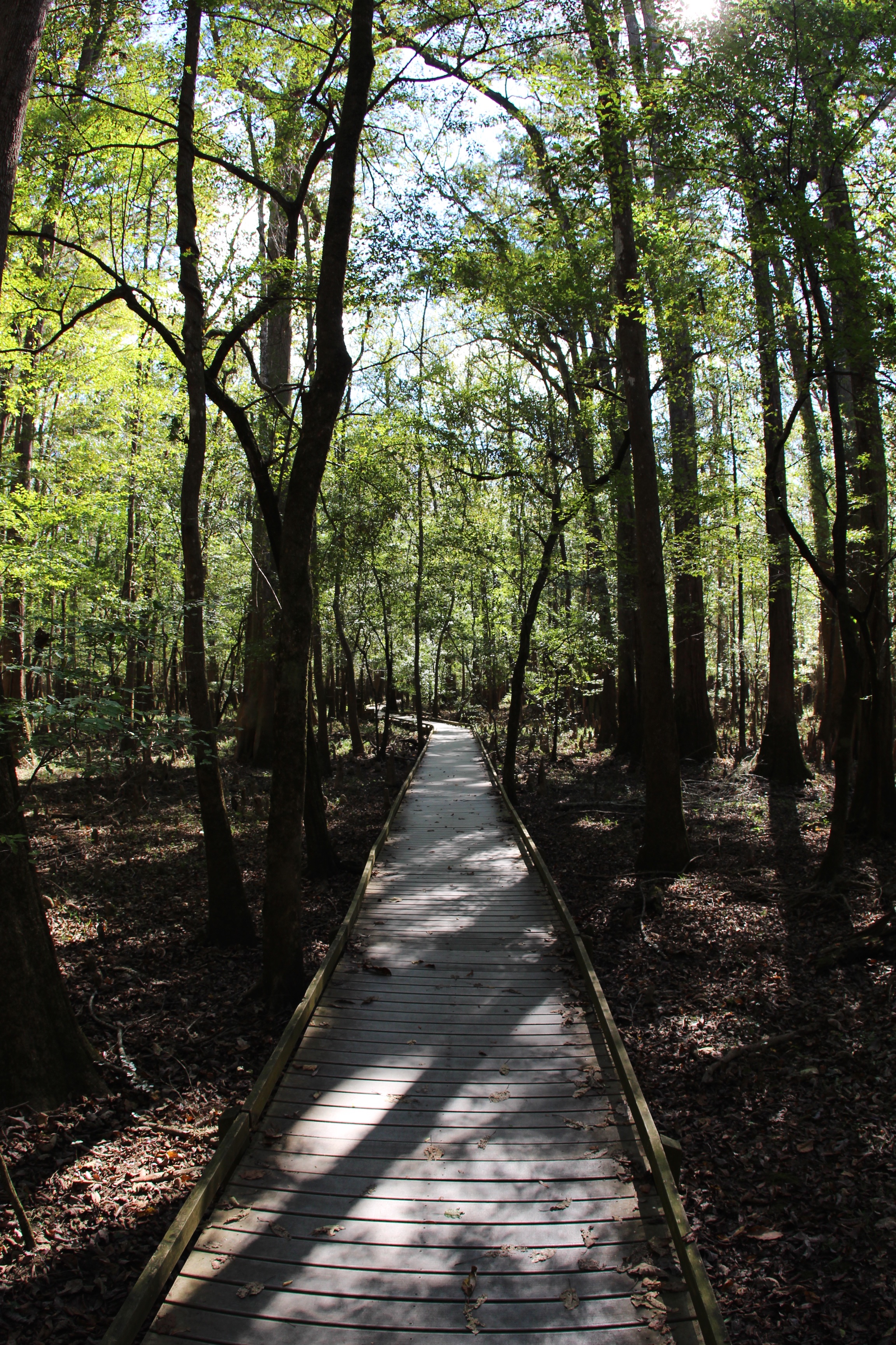
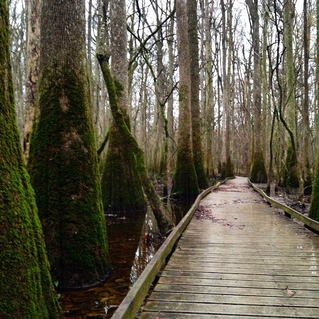
Going straight on boardwalk

Congaree National Park

Congaree National Park

Congaree National Park, SC

Congaree National Park

Boardwalk Sims Trail
Topographic Map of Town Square St, St Matthews, SC, USA
Find elevation by address:

Places near Town Square St, St Matthews, SC, USA:
Calhoun County
301 Dantzler St
State Rd S-9-46, St Matthews, SC, USA
Saint Matthews
210 Calhoun Rd
364 Good Hope Rd
307 Winding Brook Dr
Milford Plantation Rd, Pinewood, SC, USA
Cameron
460 Langley Rd
Orangeburg County Landfill
Pinewood
Midway Rd, Elloree, SC, USA
Elloree
6613 Old Number Six Hwy
Rosehaven Ln, Orangeburg, SC, USA
Greenwood Ave NE, Orangeburg, SC, USA
Landing Way
1 Oc, Orangeburg, SC, USA
222 Lost Valley Dr
Recent Searches:
- Elevation of Corso Fratelli Cairoli, 35, Macerata MC, Italy
- Elevation of Tallevast Rd, Sarasota, FL, USA
- Elevation of 4th St E, Sonoma, CA, USA
- Elevation of Black Hollow Rd, Pennsdale, PA, USA
- Elevation of Oakland Ave, Williamsport, PA, USA
- Elevation of Pedrógão Grande, Portugal
- Elevation of Klee Dr, Martinsburg, WV, USA
- Elevation of Via Roma, Pieranica CR, Italy
- Elevation of Tavkvetili Mountain, Georgia
- Elevation of Hartfords Bluff Cir, Mt Pleasant, SC, USA