Elevation of Wagener, SC, USA
Location: United States > South Carolina > Aiken County >
Longitude: -81.361214
Latitude: 33.6523712
Elevation: 143m / 469feet
Barometric Pressure: 100KPa
Elevation Map:
Satellite Map:
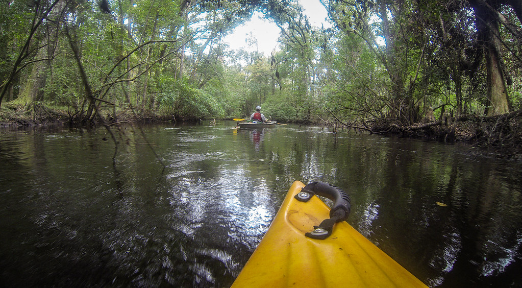
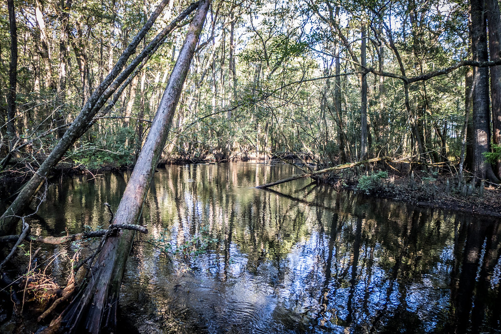
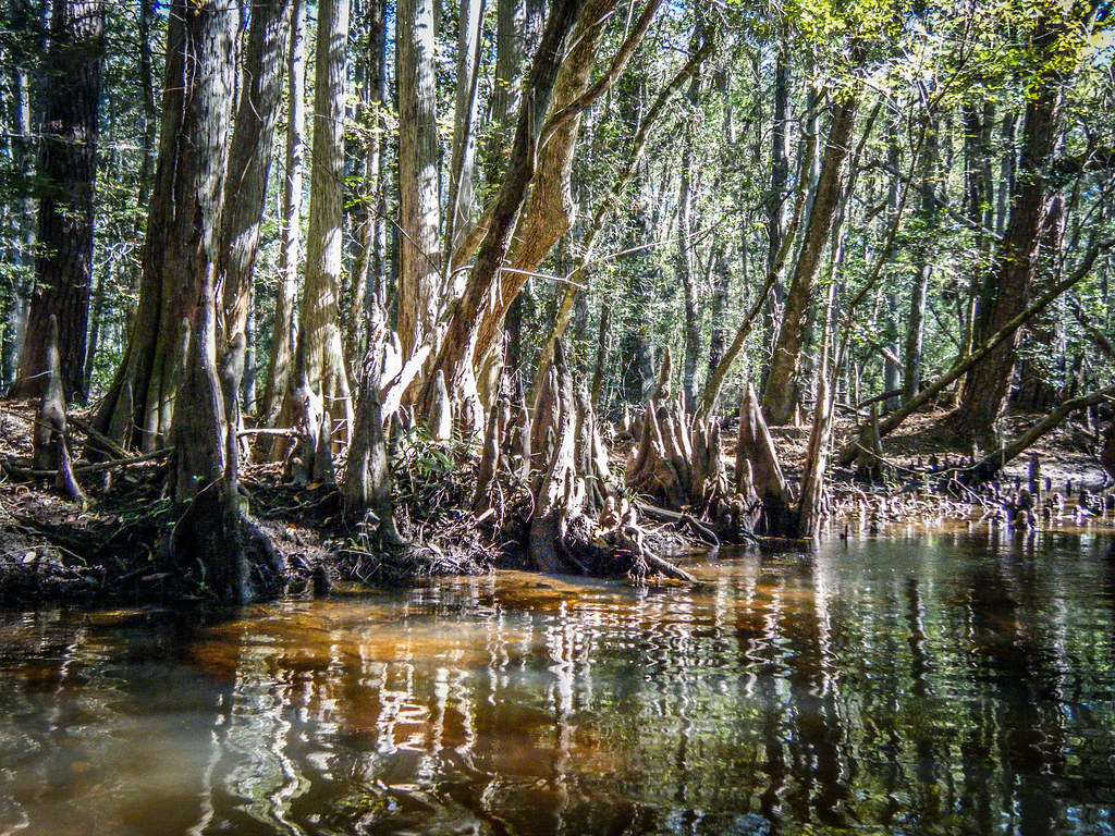
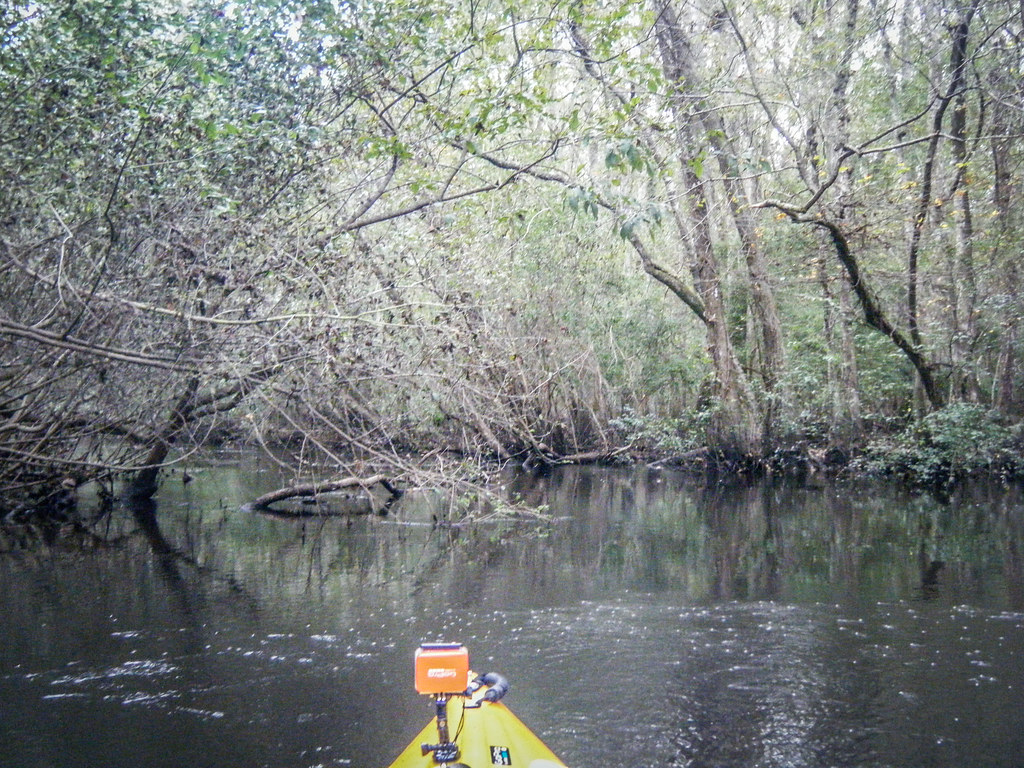
Related Photos:
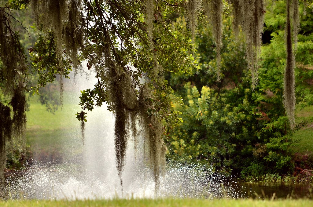
Fountain and Moss
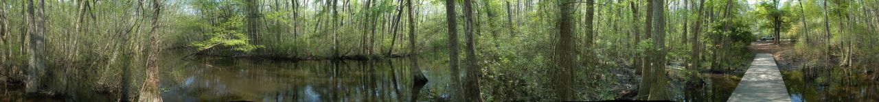
Aiken State Park (360 Panorama)
South Edisto River-043

South Edisto River-074
South Edisto River-041

South Edisto River-030
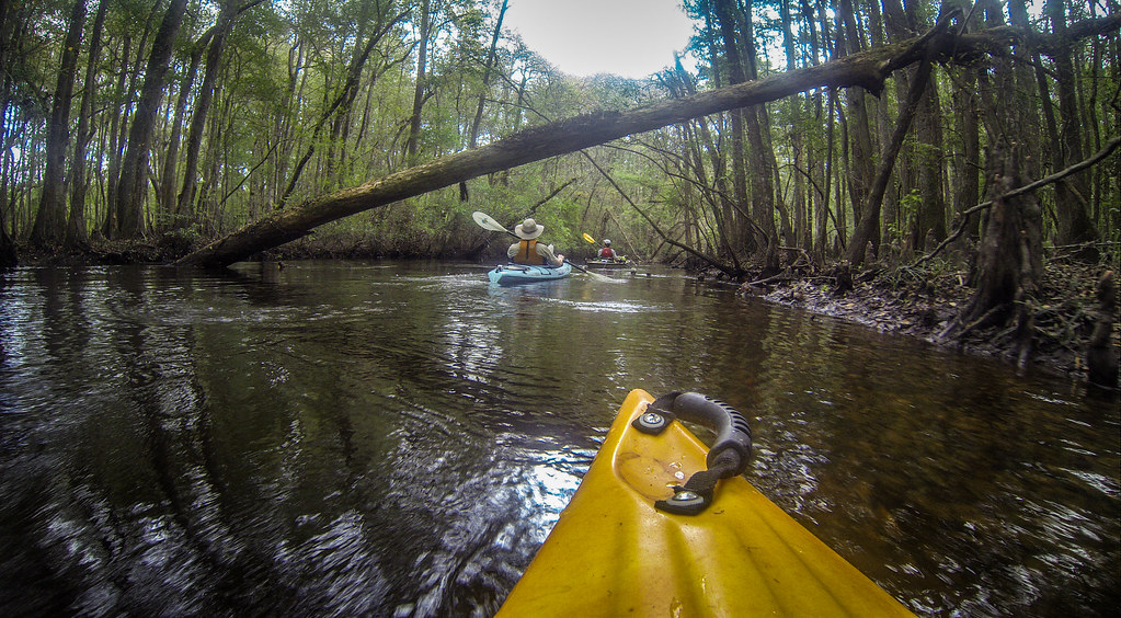
South Edisto River-065

South Edisto River-035
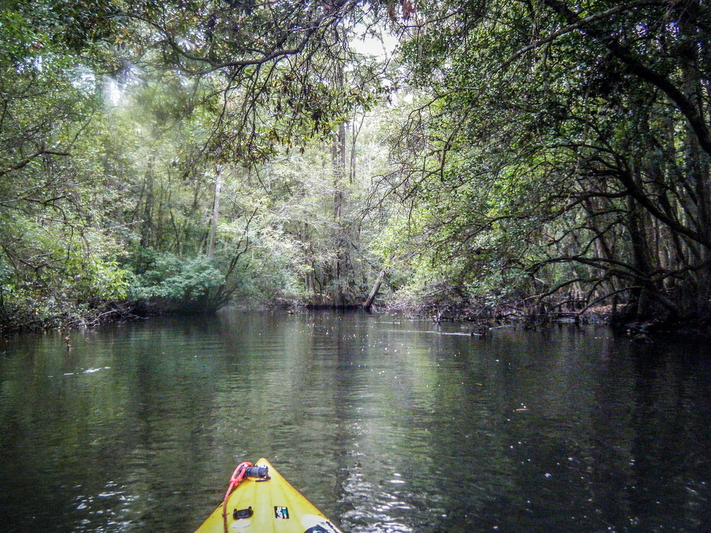
South Edisto River-100
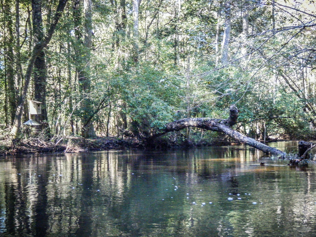
South Edisto River-039
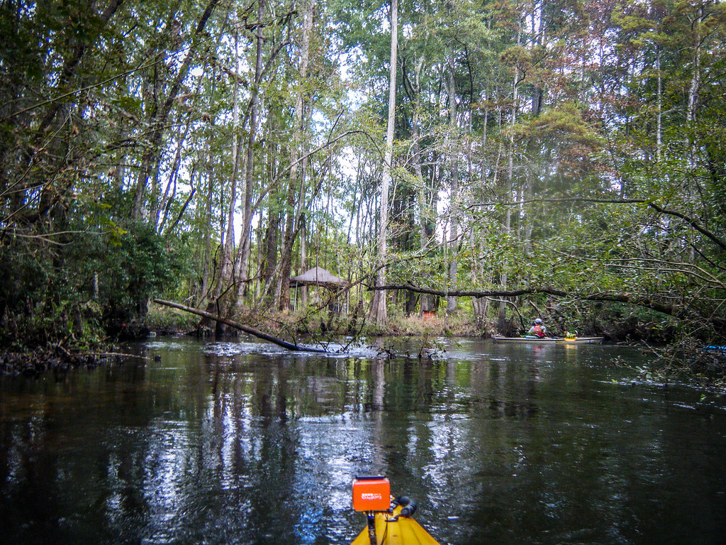
South Edisto River-068
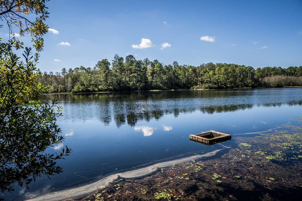
South Edisto River-016
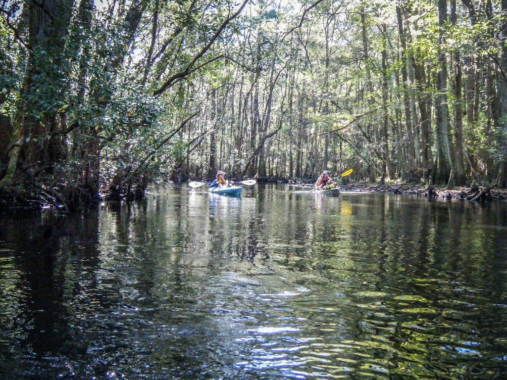
South Edisto River-023

South Edisto River-015
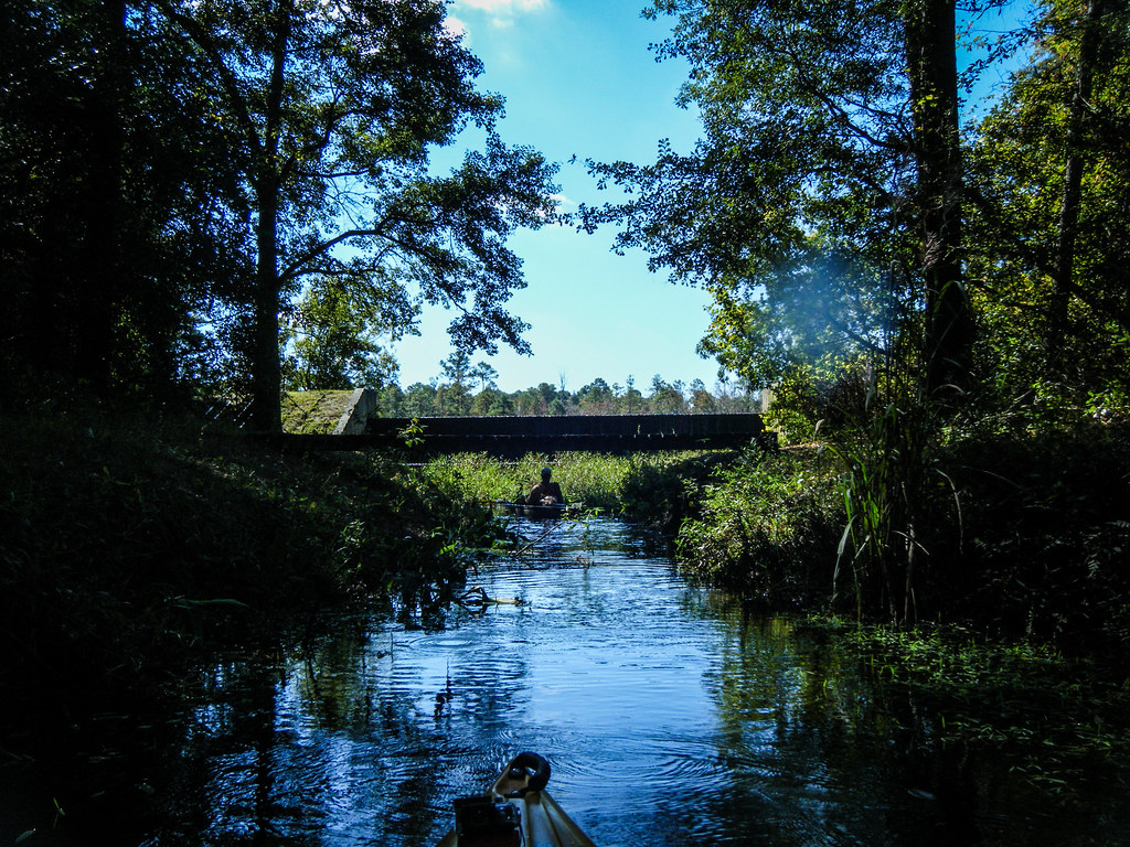
South Edisto River-048
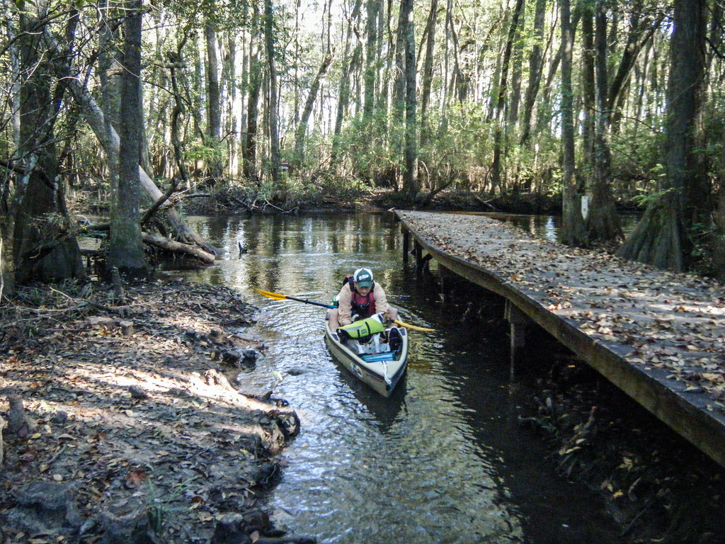
South Edisto River-017
South Edisto River-080
South Edisto River-007
South Edisto River-031

South Edisto River-070
South Edisto River-071

South Edisto River-013
Topographic Map of Wagener, SC, USA
Find elevation by address:

Places near Wagener, SC, USA:
205 Jordan Loop
1380 Bethcar Church Rd
1324 Charles Town Rd
2890 New Holland Rd
1727 Ninety 6 Rd
387 Wexford Mill Rd
703 Centerwood Rd
659 Hutto Pond Rd
1144 Woodford Rd
Windsor
North Fork Edisto River
210 Gun Shop Rd
Williston
3330 Crane Way
North
Neeses
50 Springs Ct, Blackville, SC, USA
Swansea
Orangeburg County
1 Creek Aly, Norway, SC, USA
Recent Searches:
- Elevation of Corso Fratelli Cairoli, 35, Macerata MC, Italy
- Elevation of Tallevast Rd, Sarasota, FL, USA
- Elevation of 4th St E, Sonoma, CA, USA
- Elevation of Black Hollow Rd, Pennsdale, PA, USA
- Elevation of Oakland Ave, Williamsport, PA, USA
- Elevation of Pedrógão Grande, Portugal
- Elevation of Klee Dr, Martinsburg, WV, USA
- Elevation of Via Roma, Pieranica CR, Italy
- Elevation of Tavkvetili Mountain, Georgia
- Elevation of Hartfords Bluff Cir, Mt Pleasant, SC, USA