Elevation of Crane Way, Williston, SC, USA
Location: United States > South Carolina > Barnwell County > Williston >
Longitude: -81.400324
Latitude: 33.3937414
Elevation: 105m / 344feet
Barometric Pressure: 100KPa
Elevation Map:
Satellite Map:
Related Photos:

Midlands Regional / Barnwell County Full Scale Exercise

Brown Tint

B & W

B & W House and tree

Dark Sky

B & W House and tree

B & W Shadows

Photo-1_6_14,-16.21.46-3

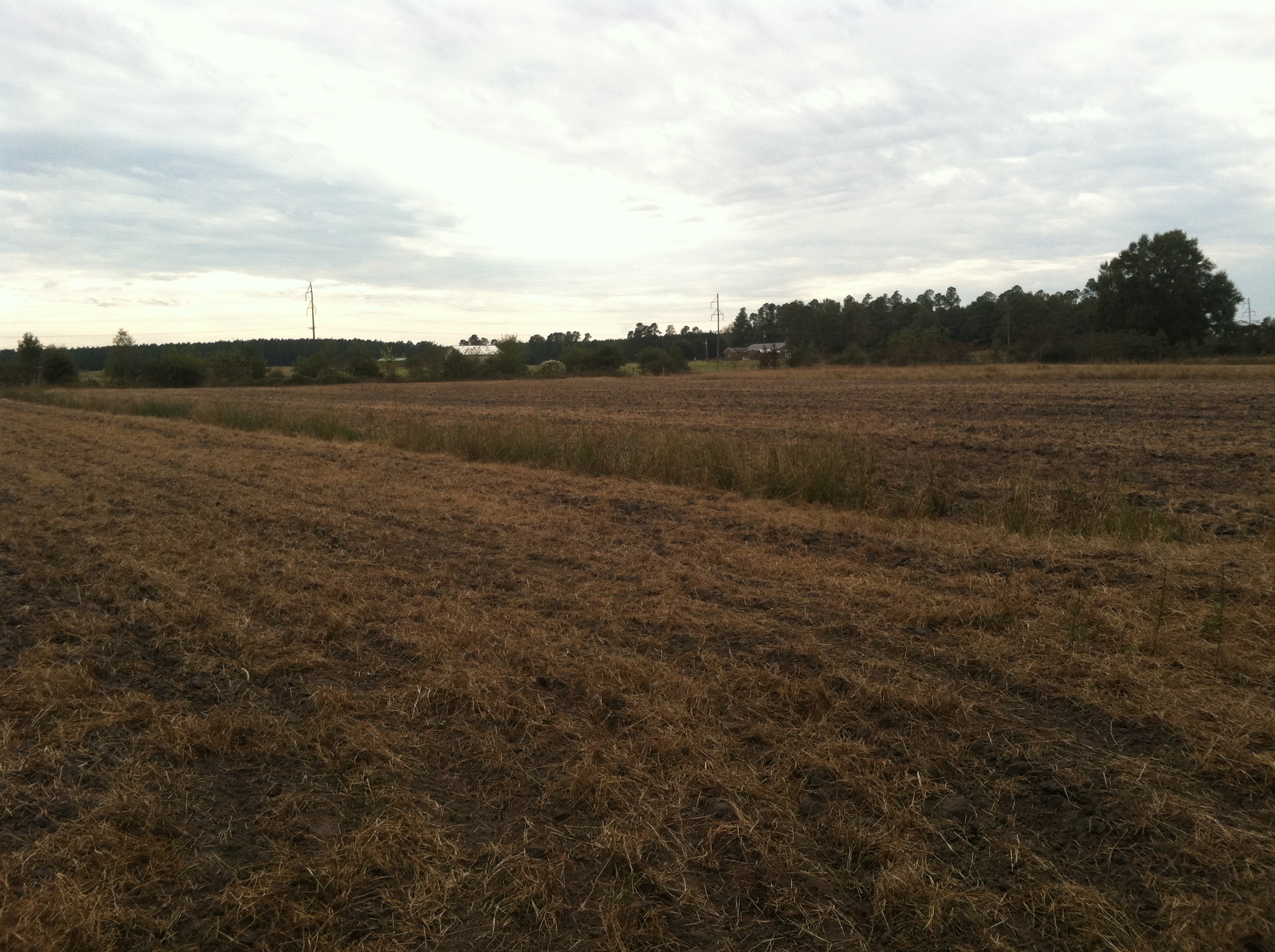
hay field

Lens Flare

Photo-1_6_14,-16.21.46-2

Crataegus munda (Batesburg hawthorn)

South Edisto River-103

04-30-2013- 2

Photo-1_6_14,-16.21.46-5

Photo-1_6_14,-16.21.46-1

Wet wet wet

Planting alfalfa at ERECS today for the Bull Test

Bulls out grazing this morning. #ranchlife #agchat

Camera Roll-59

Photo-1_6_14,-16.21.46-4
IMG_0893.JPG (2)
Topographic Map of Crane Way, Williston, SC, USA
Find elevation by address:

Places near Crane Way, Williston, SC, USA:
Williston
1400 Pioneer Rd
703 Centerwood Rd
50 Springs Ct, Blackville, SC, USA
Barnwell County
Windsor
55 Rebecca St
Barnwell Hill
Barnwell
3421 State Rd S-6-29
Barnwell, SC, USA
1 Creek Aly, Norway, SC, USA
387 Wexford Mill Rd
Hunter Drive
205 Jordan Loop
Wagener
1727 Ninety 6 Rd
North Fork Edisto River
Norway
1380 Bethcar Church Rd
Recent Searches:
- Elevation of Corso Fratelli Cairoli, 35, Macerata MC, Italy
- Elevation of Tallevast Rd, Sarasota, FL, USA
- Elevation of 4th St E, Sonoma, CA, USA
- Elevation of Black Hollow Rd, Pennsdale, PA, USA
- Elevation of Oakland Ave, Williamsport, PA, USA
- Elevation of Pedrógão Grande, Portugal
- Elevation of Klee Dr, Martinsburg, WV, USA
- Elevation of Via Roma, Pieranica CR, Italy
- Elevation of Tavkvetili Mountain, Georgia
- Elevation of Hartfords Bluff Cir, Mt Pleasant, SC, USA