Elevation of Barnwell Hill, Barnwell, SC, USA
Location: United States > South Carolina > Barnwell County > Barnwell >
Longitude: -81.363717
Latitude: 33.2445954
Elevation: 72m / 236feet
Barometric Pressure: 100KPa
Elevation Map:
Satellite Map:
Related Photos:

Midlands Regional / Barnwell County Full Scale Exercise
Brown Tint
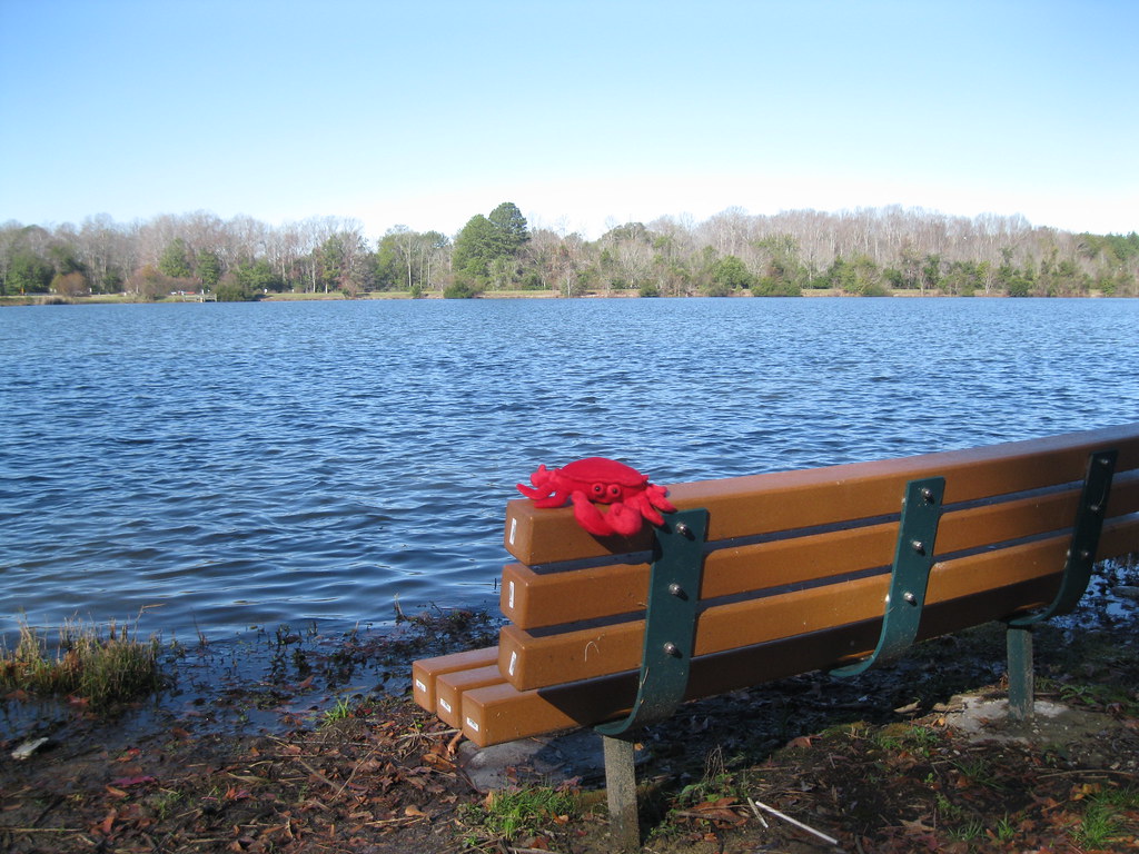
#66: Bench Monday: Bowie Edition
Something Different
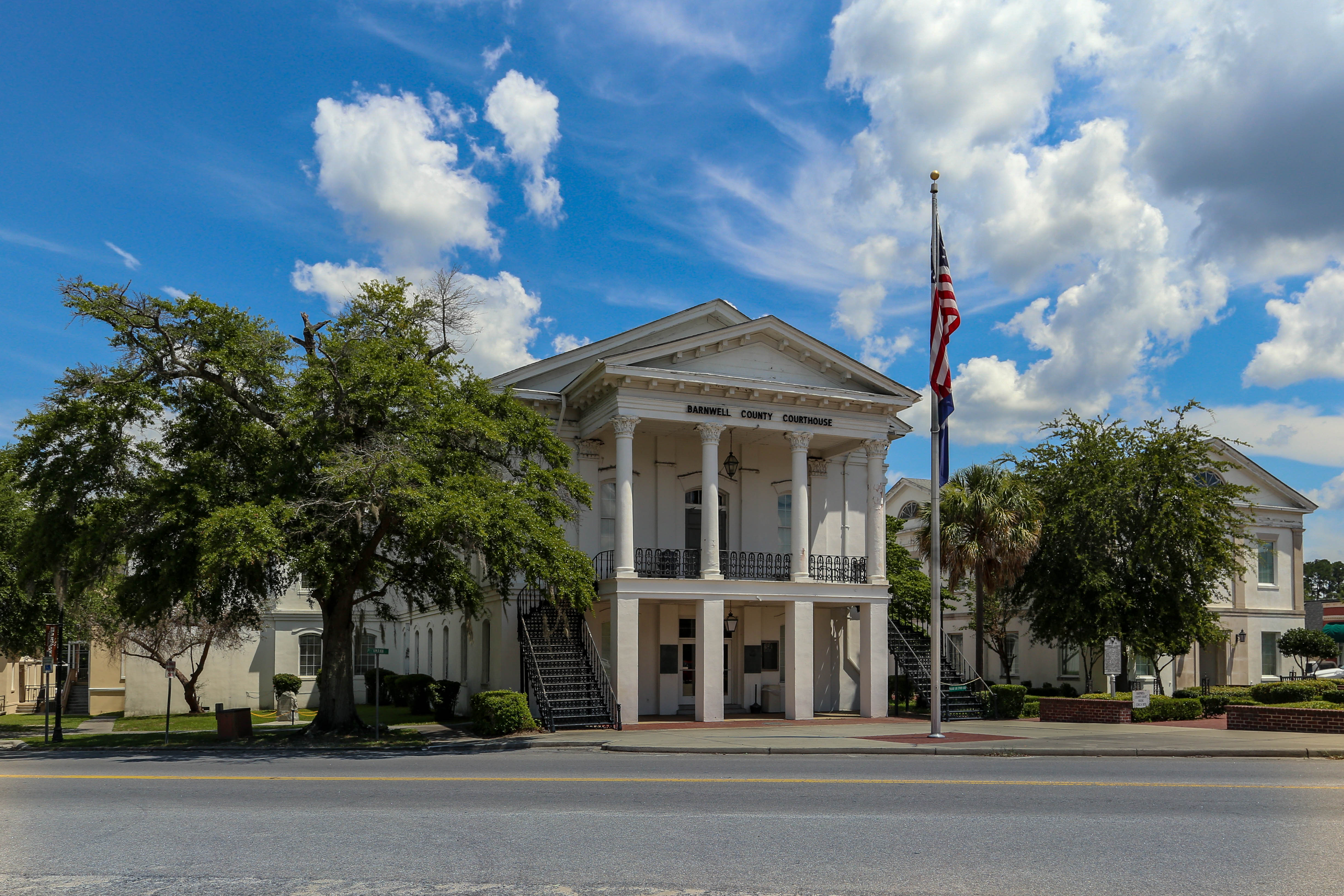
Barnwell County Courthouse - Barnwell, S.C.
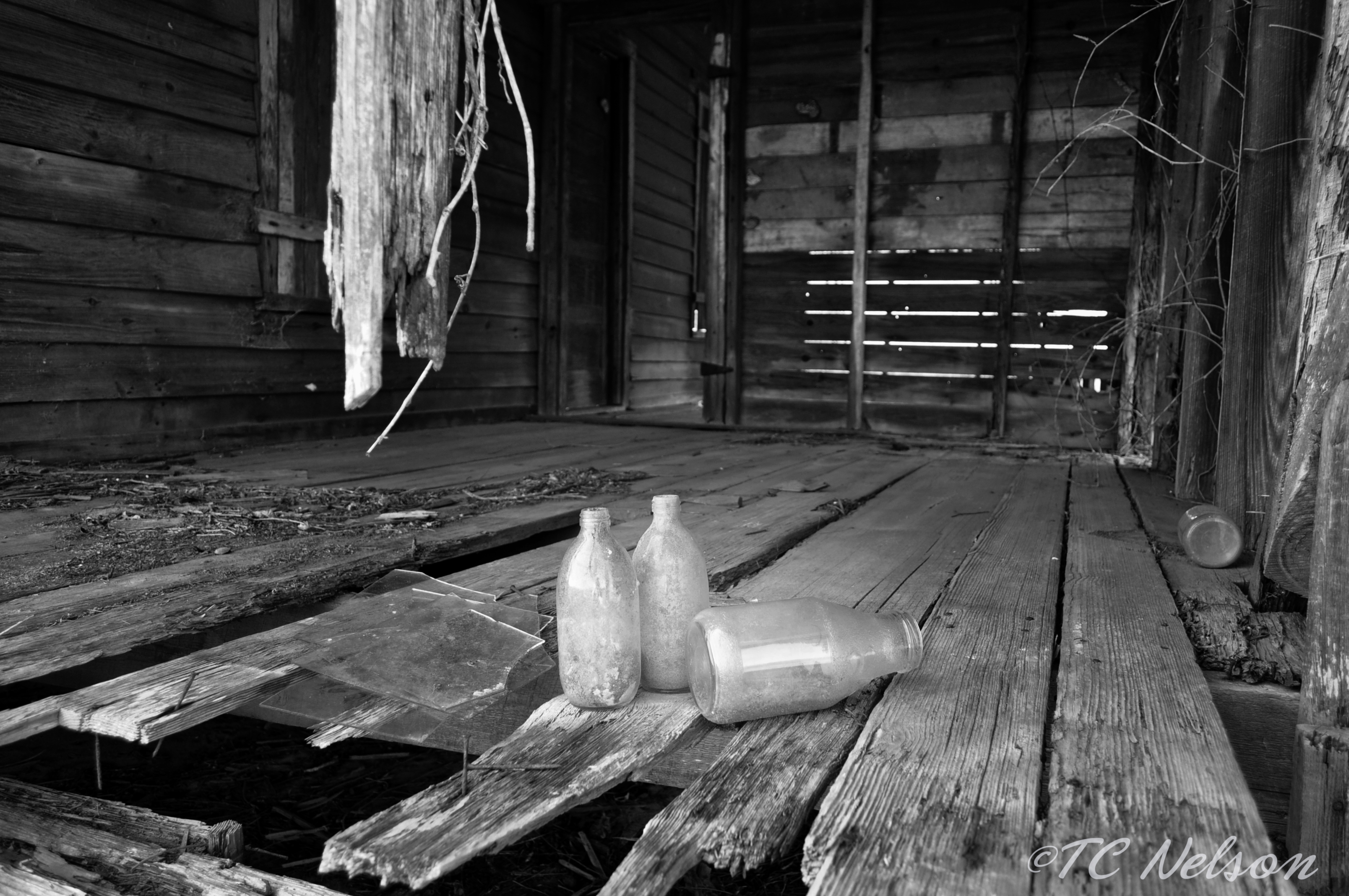
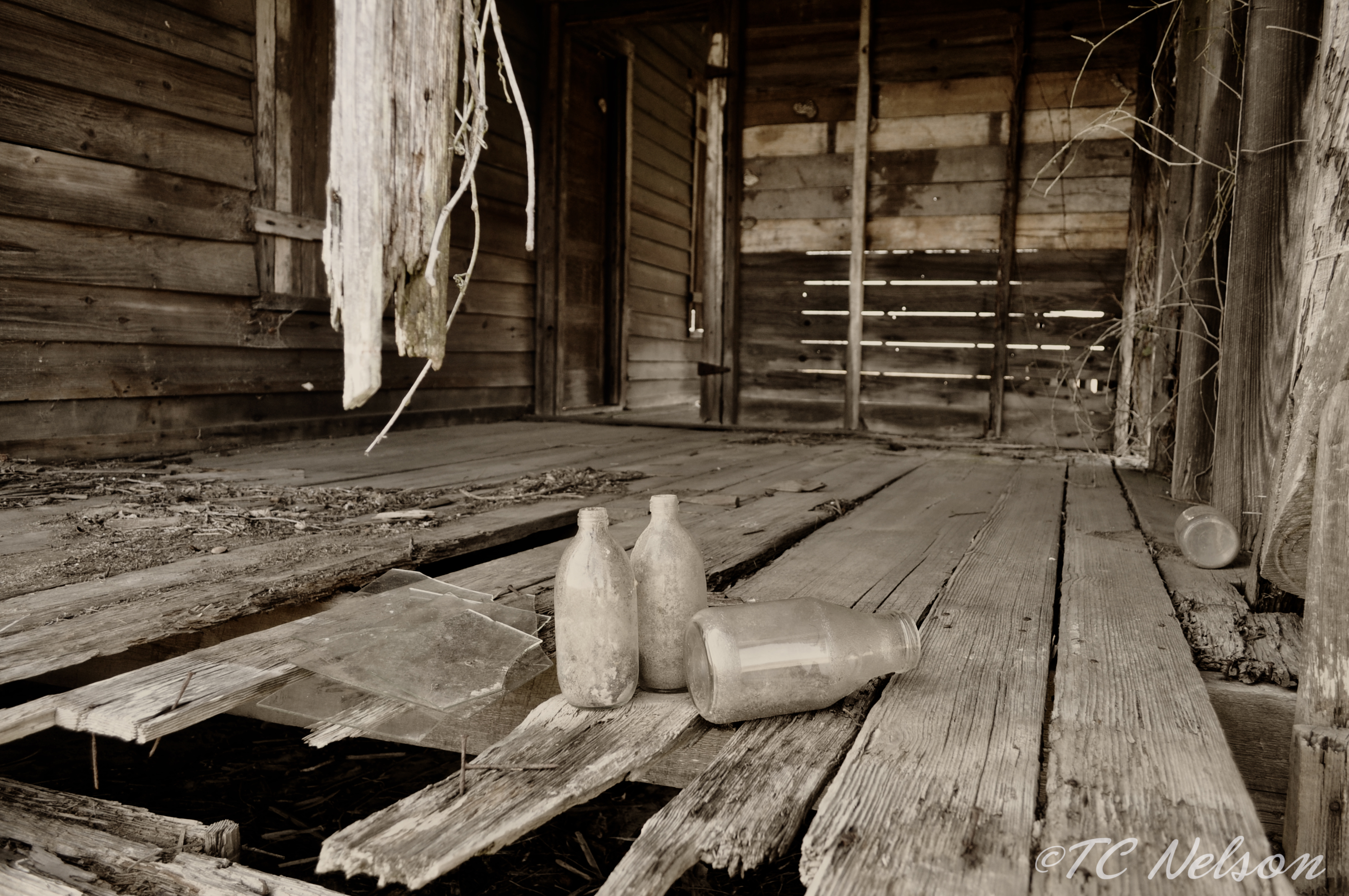
B & W
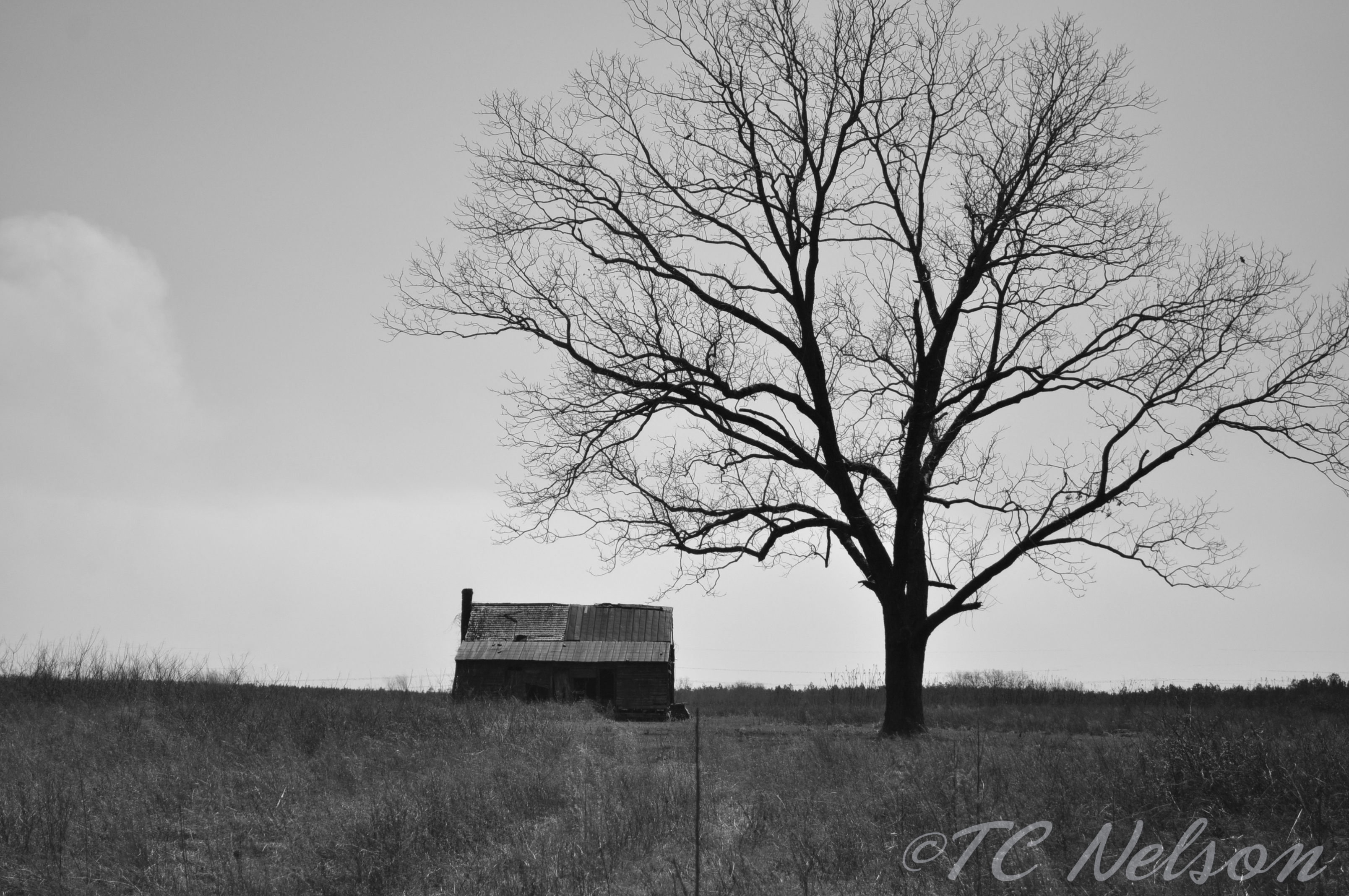
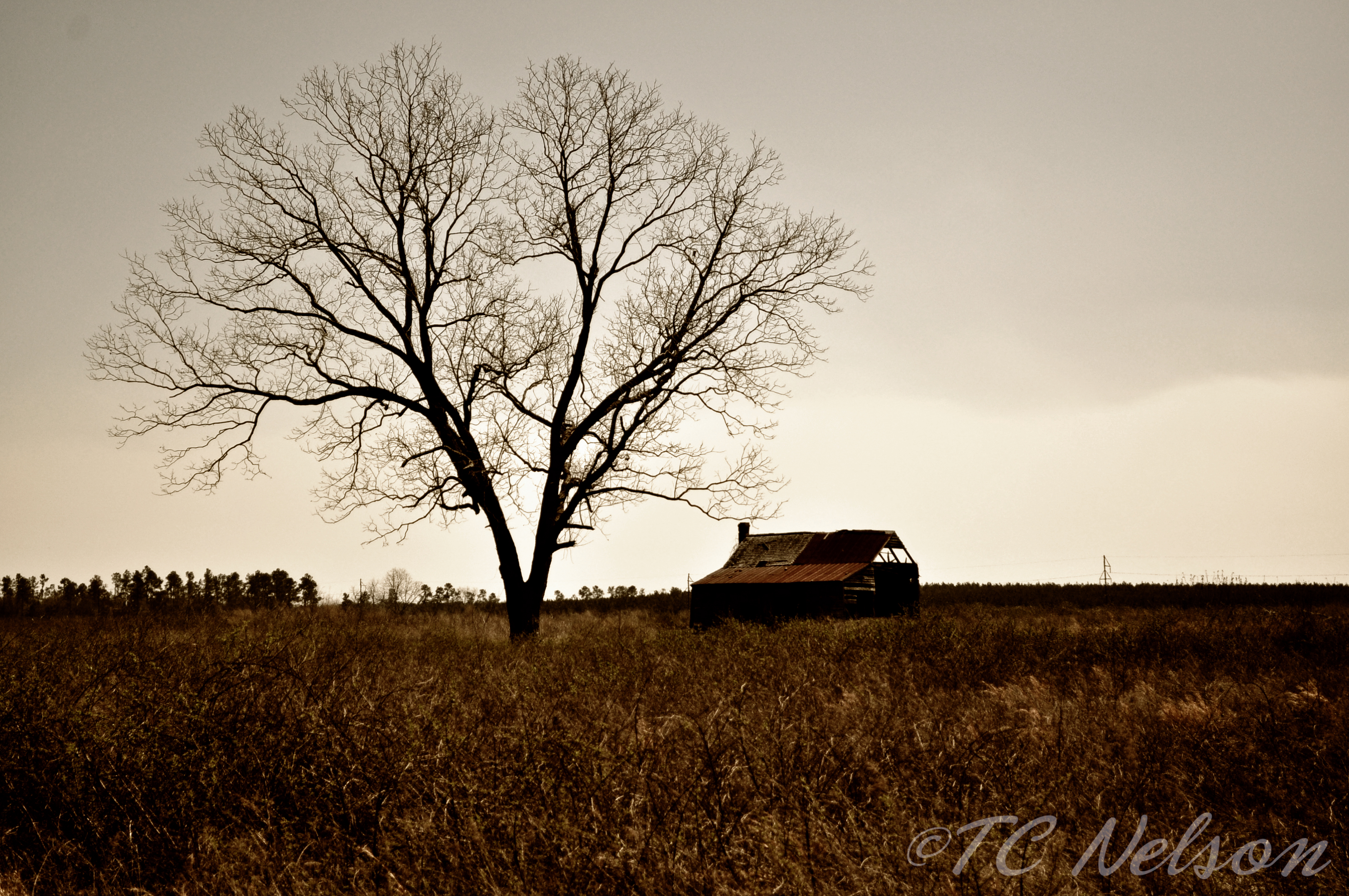
B & W House and tree

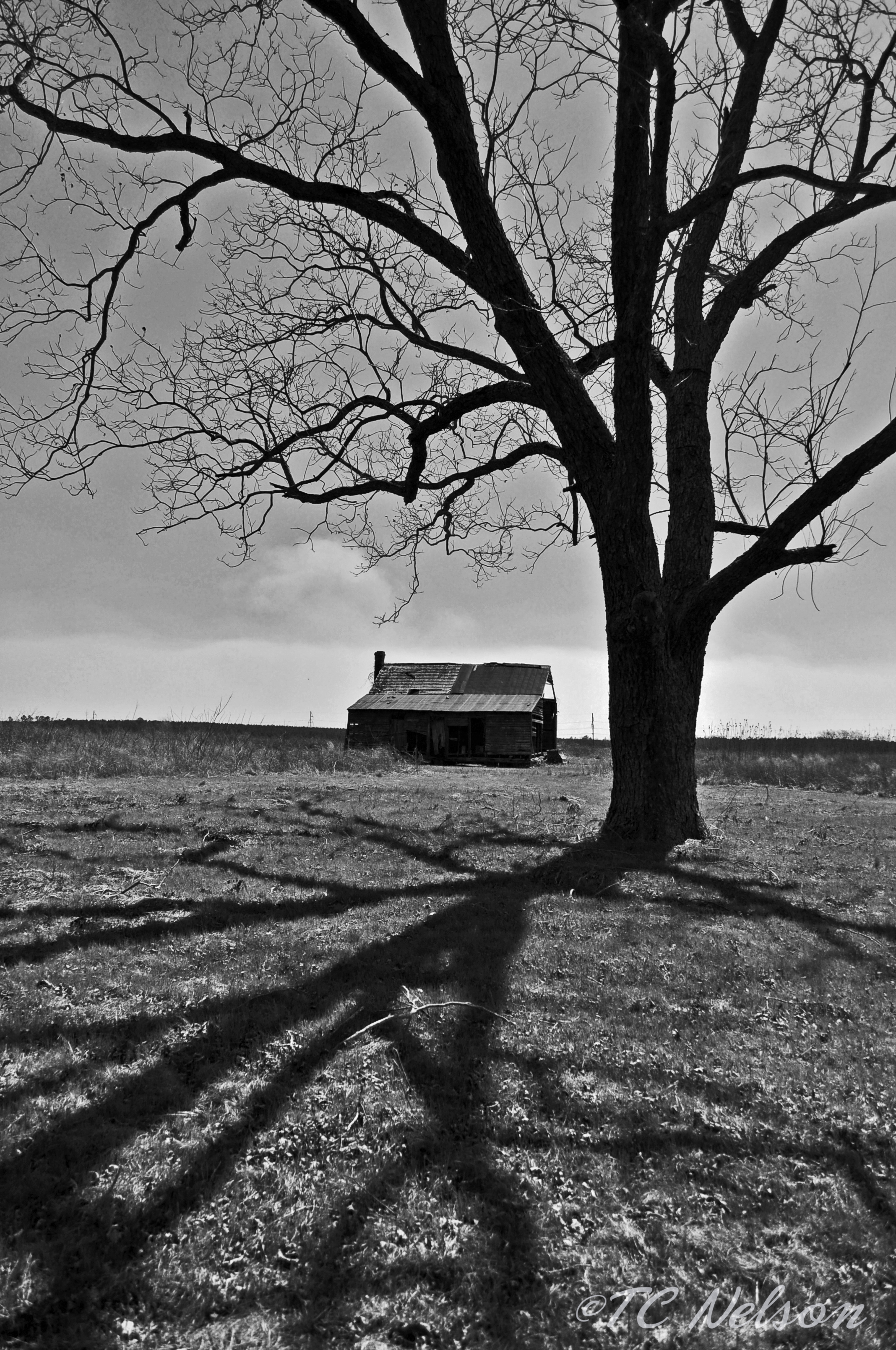
B & W House and tree

Dark Sky
B & W Shadows
04-30-2013 1
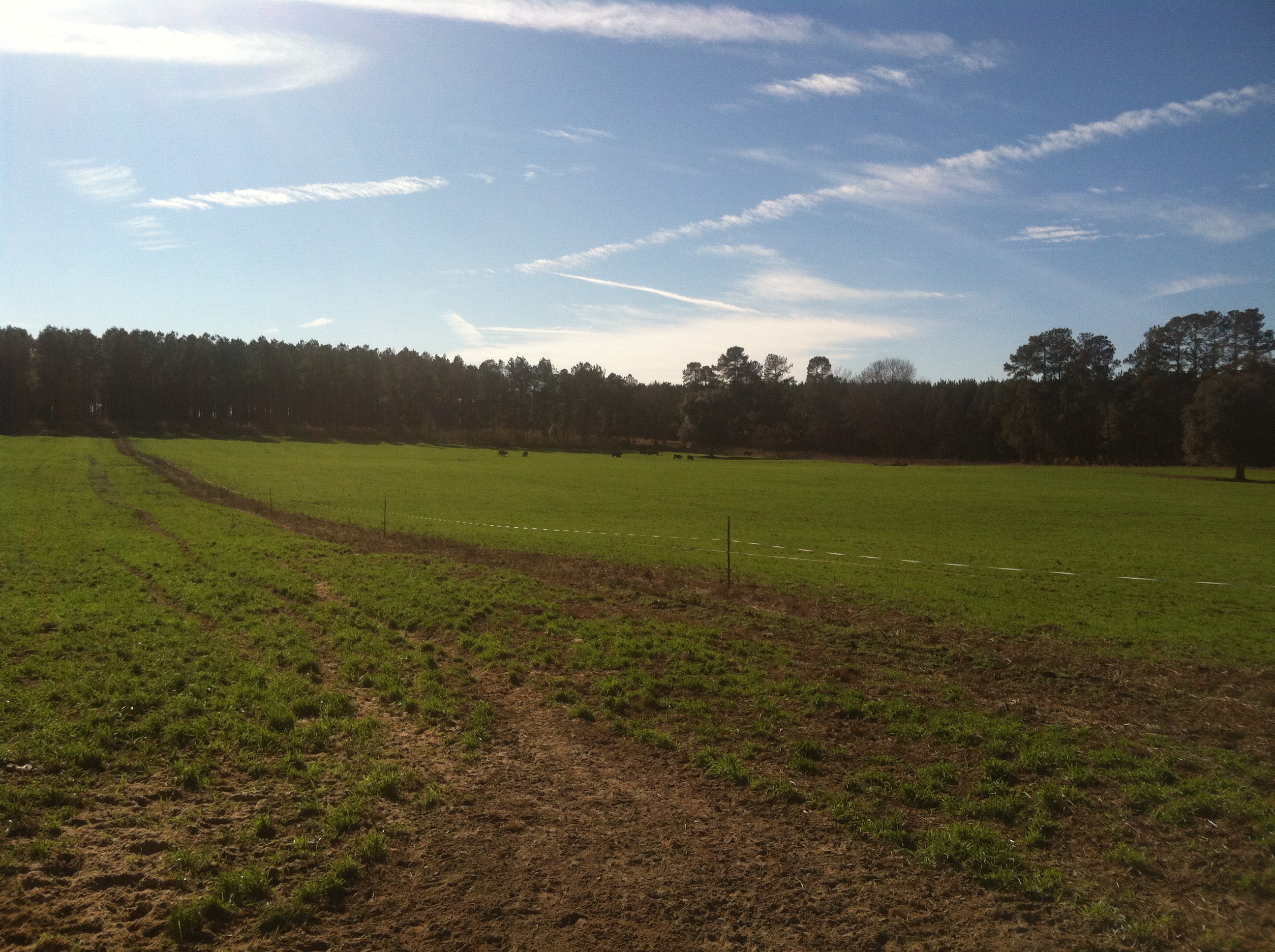
Photo-1_6_14,-16.21.46-3

Lens Flare

Photo-1_6_14,-16.21.46-2
04-30-2013- 2
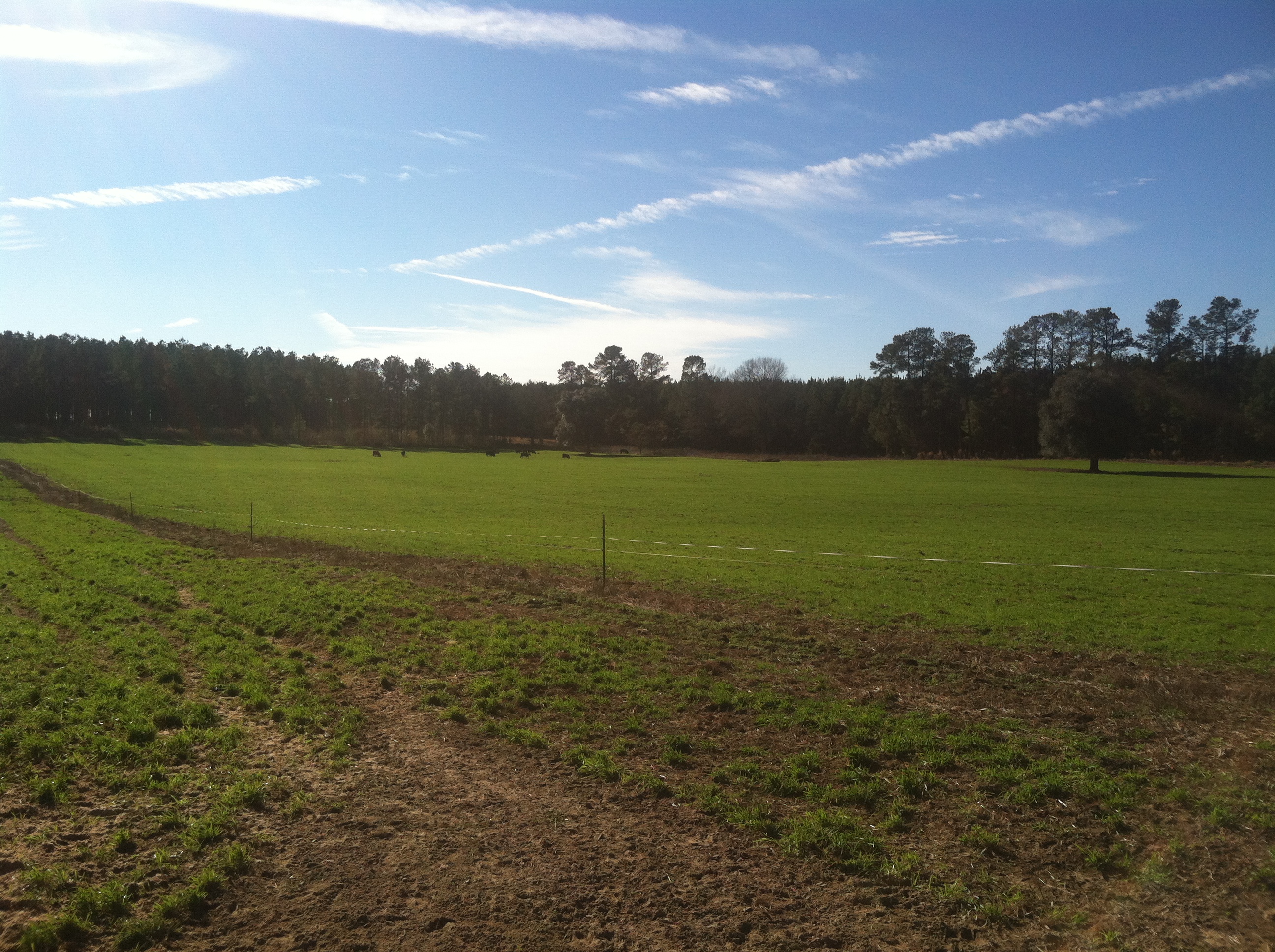
Photo-1_6_14,-16.21.46-1

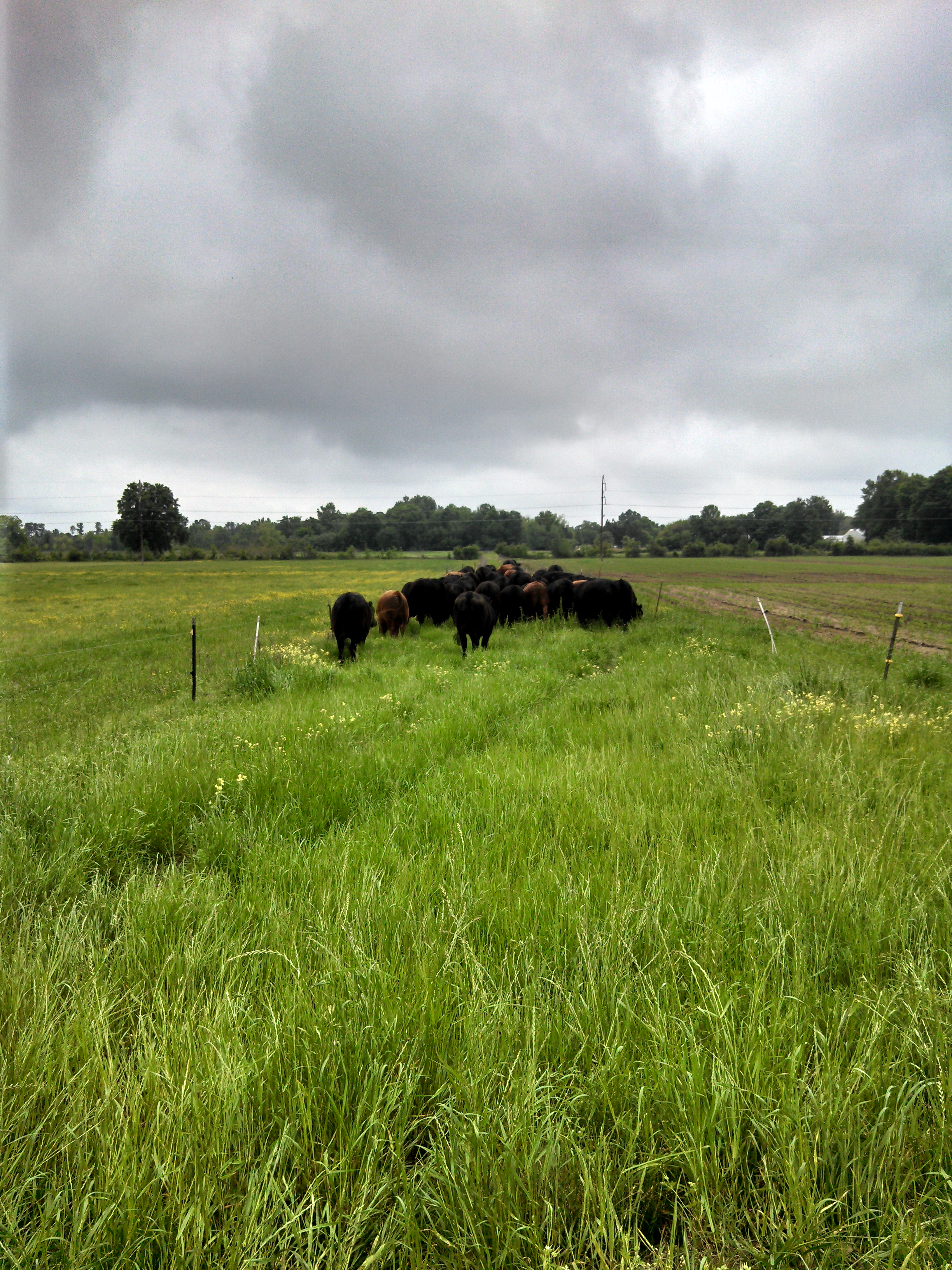
Wet wet wet

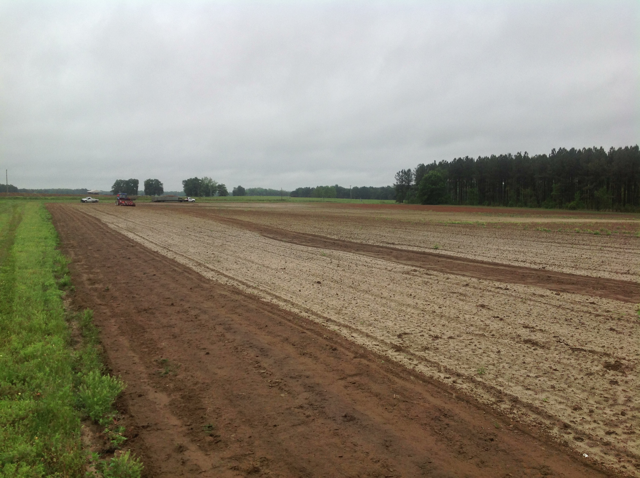
Planting alfalfa at ERECS today for the Bull Test
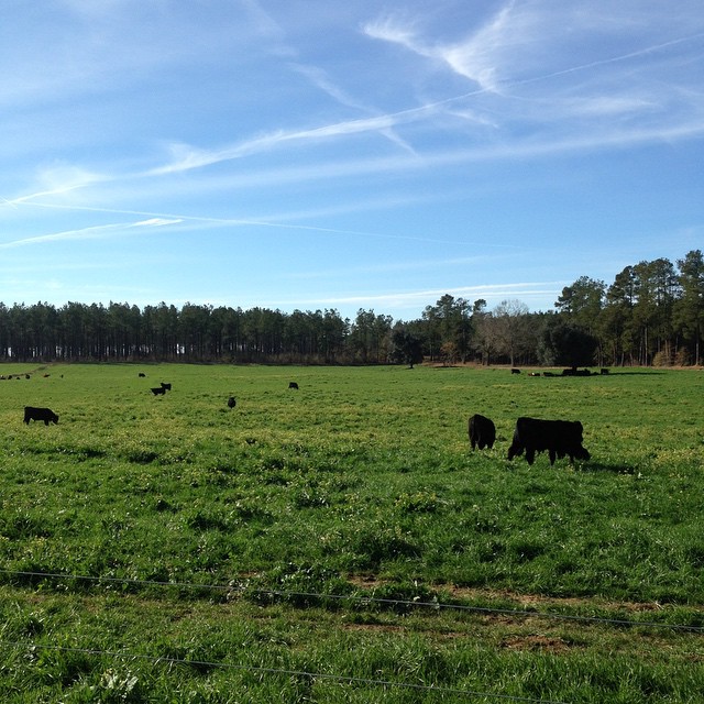
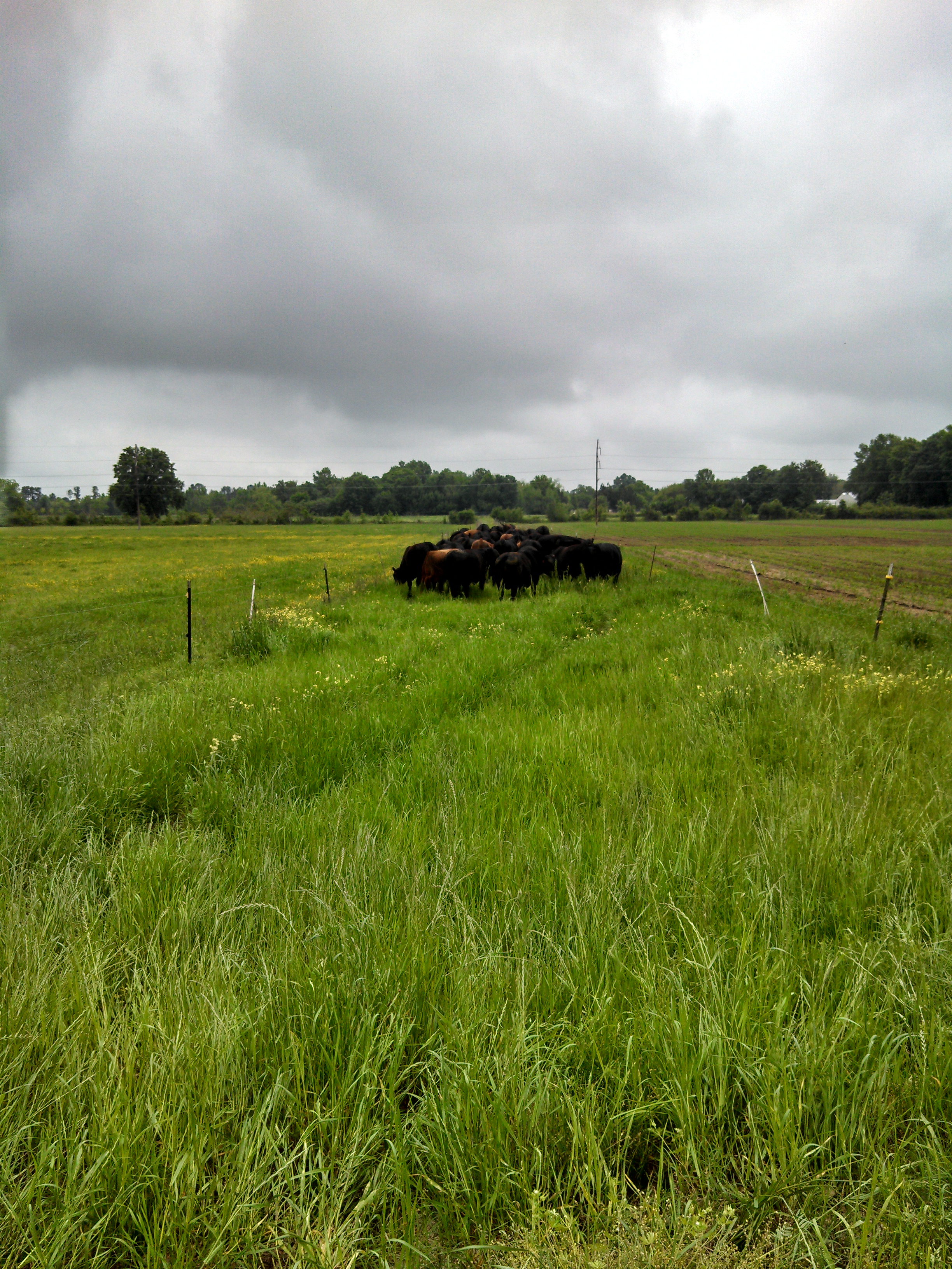
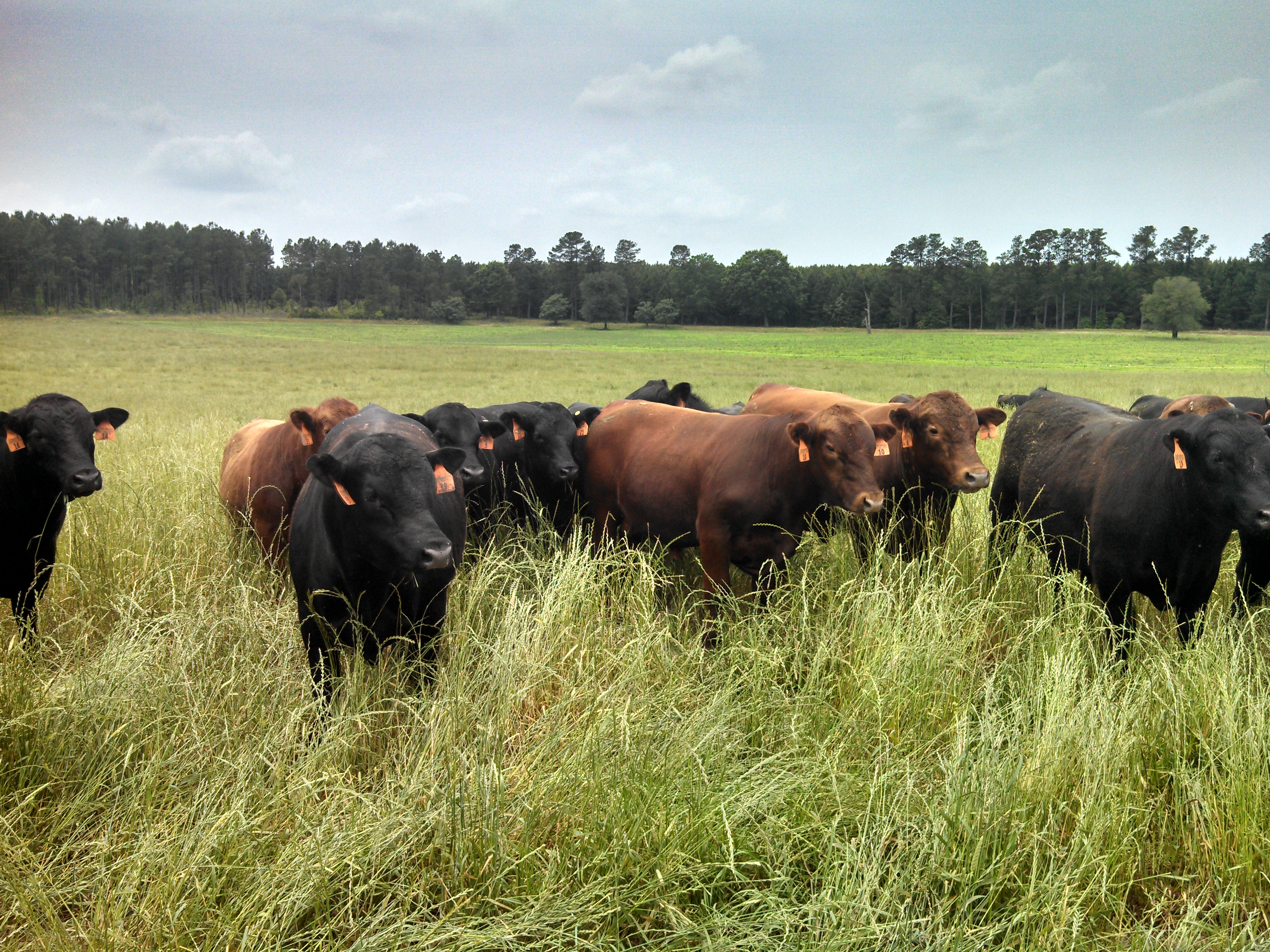
Bulls out grazing this morning. #ranchlife #agchat
Camera Roll-59
2013-05-18 13.26.10
Photo-1_6_14,-16.21.46-4
Topographic Map of Barnwell Hill, Barnwell, SC, USA
Find elevation by address:

Places near Barnwell Hill, Barnwell, SC, USA:
Barnwell
Barnwell, SC, USA
55 Rebecca St
3421 State Rd S-6-29
1400 Pioneer Rd
Barnwell County
Hunter Drive
3330 Crane Way
Williston
50 Springs Ct, Blackville, SC, USA
Augusta Hwy, Allendale, SC, USA
Martin
Barnwell Rd, Allendale, SC, USA
Allendale County
Burton's Ferry Hwy, Allendale, SC, USA
1 Creek Aly, Norway, SC, USA
703 Centerwood Rd
Windsor
Bamberg County
Fairfax
Recent Searches:
- Elevation of Corso Fratelli Cairoli, 35, Macerata MC, Italy
- Elevation of Tallevast Rd, Sarasota, FL, USA
- Elevation of 4th St E, Sonoma, CA, USA
- Elevation of Black Hollow Rd, Pennsdale, PA, USA
- Elevation of Oakland Ave, Williamsport, PA, USA
- Elevation of Pedrógão Grande, Portugal
- Elevation of Klee Dr, Martinsburg, WV, USA
- Elevation of Via Roma, Pieranica CR, Italy
- Elevation of Tavkvetili Mountain, Georgia
- Elevation of Hartfords Bluff Cir, Mt Pleasant, SC, USA