Elevation of Pioneer Rd, Barnwell, SC, USA
Location: United States > South Carolina > Barnwell County > Barnwell >
Longitude: -81.439681
Latitude: 33.3053082
Elevation: 78m / 256feet
Barometric Pressure: 100KPa
Elevation Map:
Satellite Map:
Related Photos:

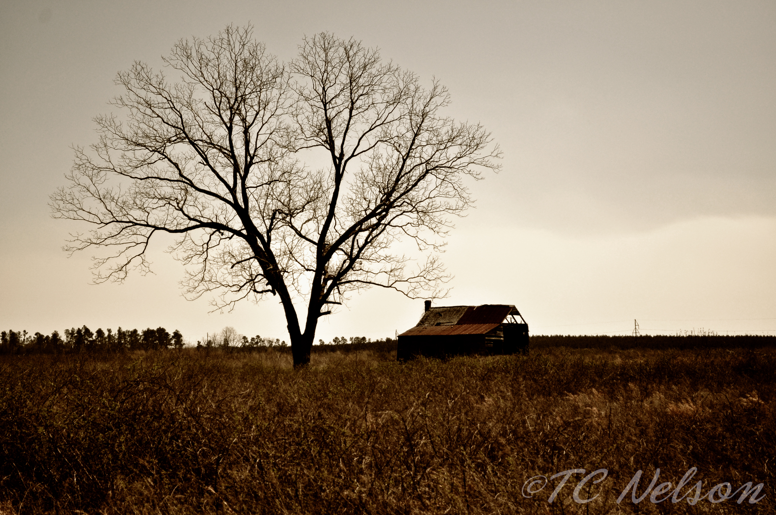
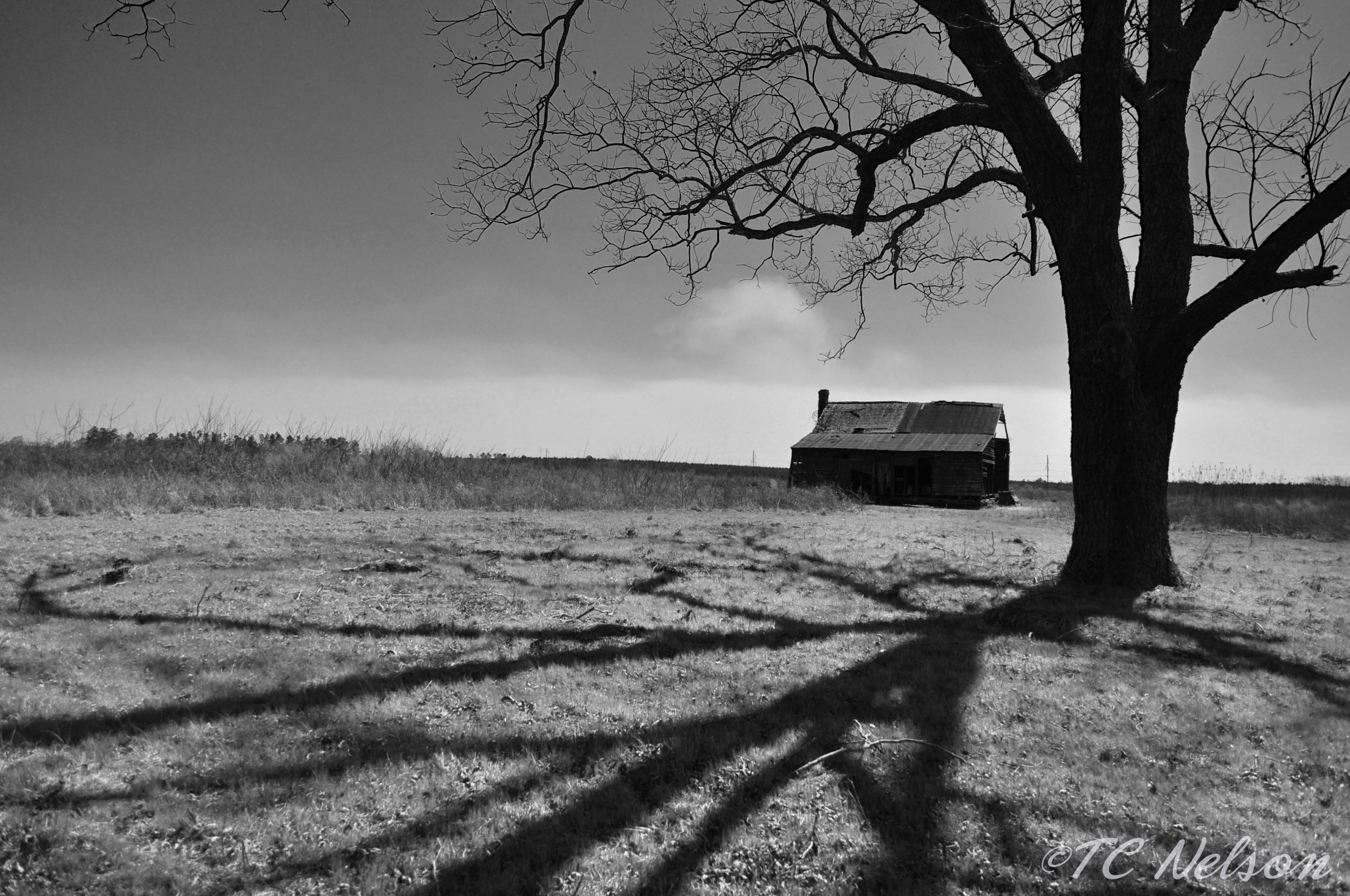
Graveyard of Dreams II

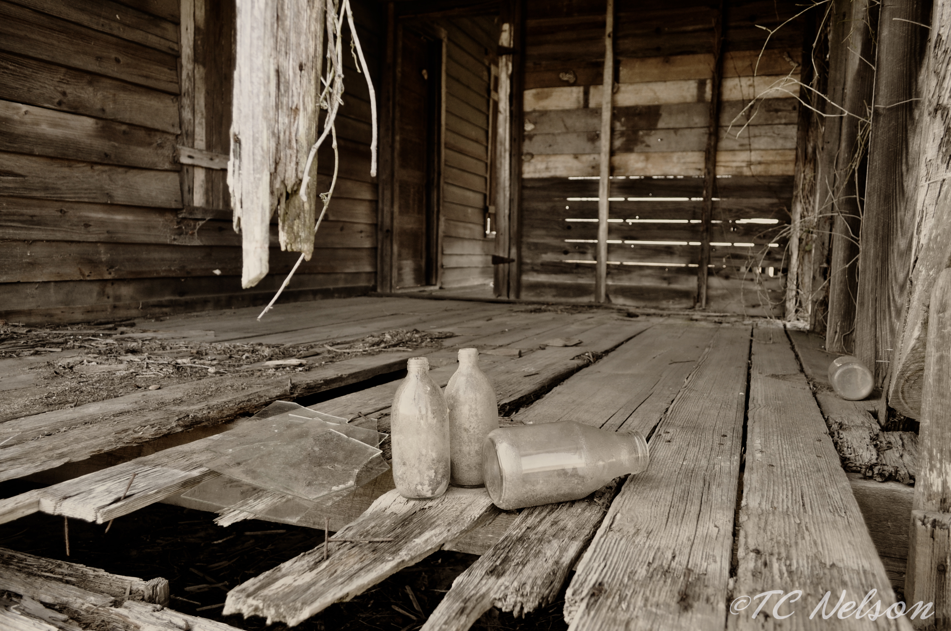
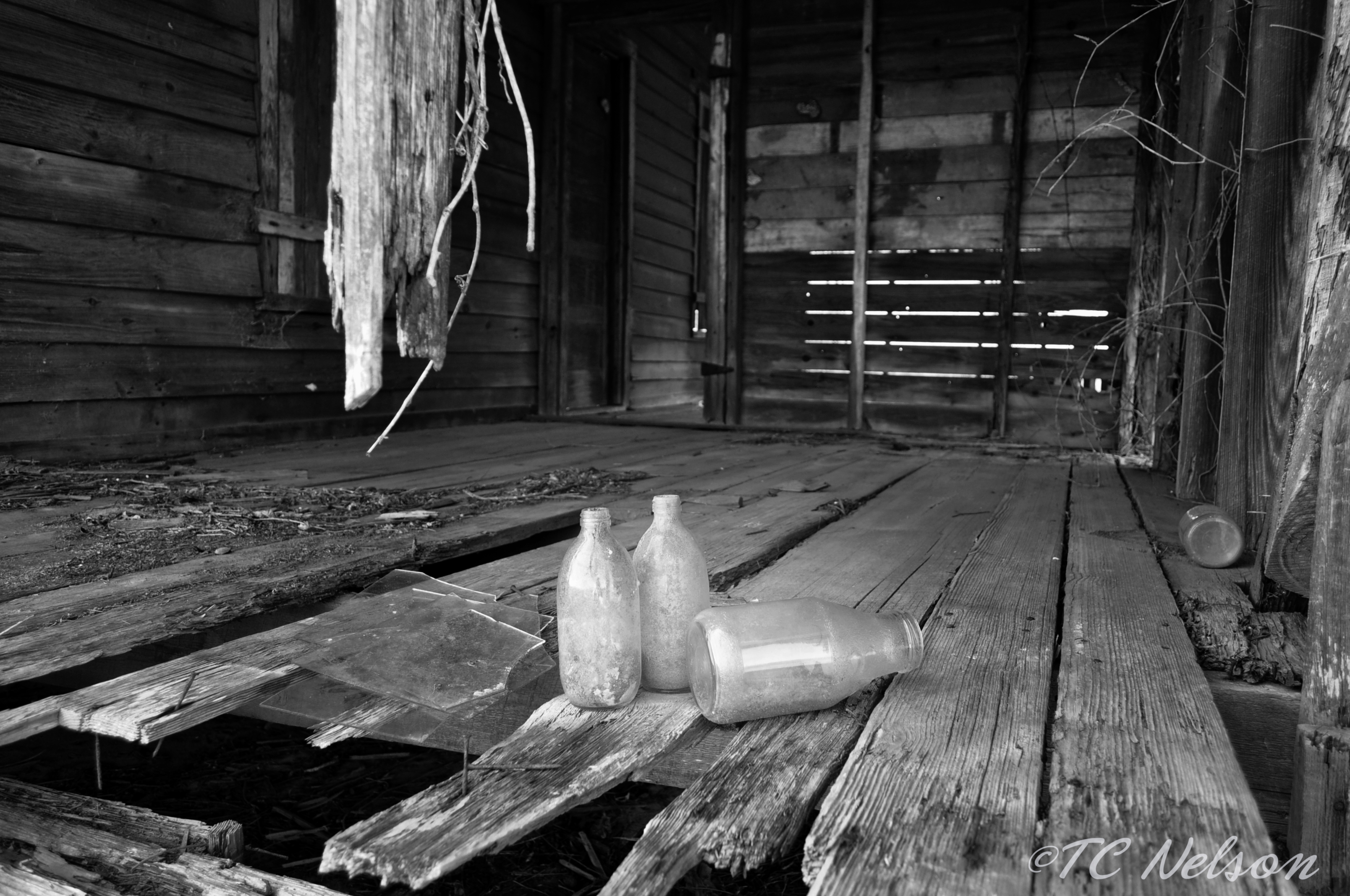
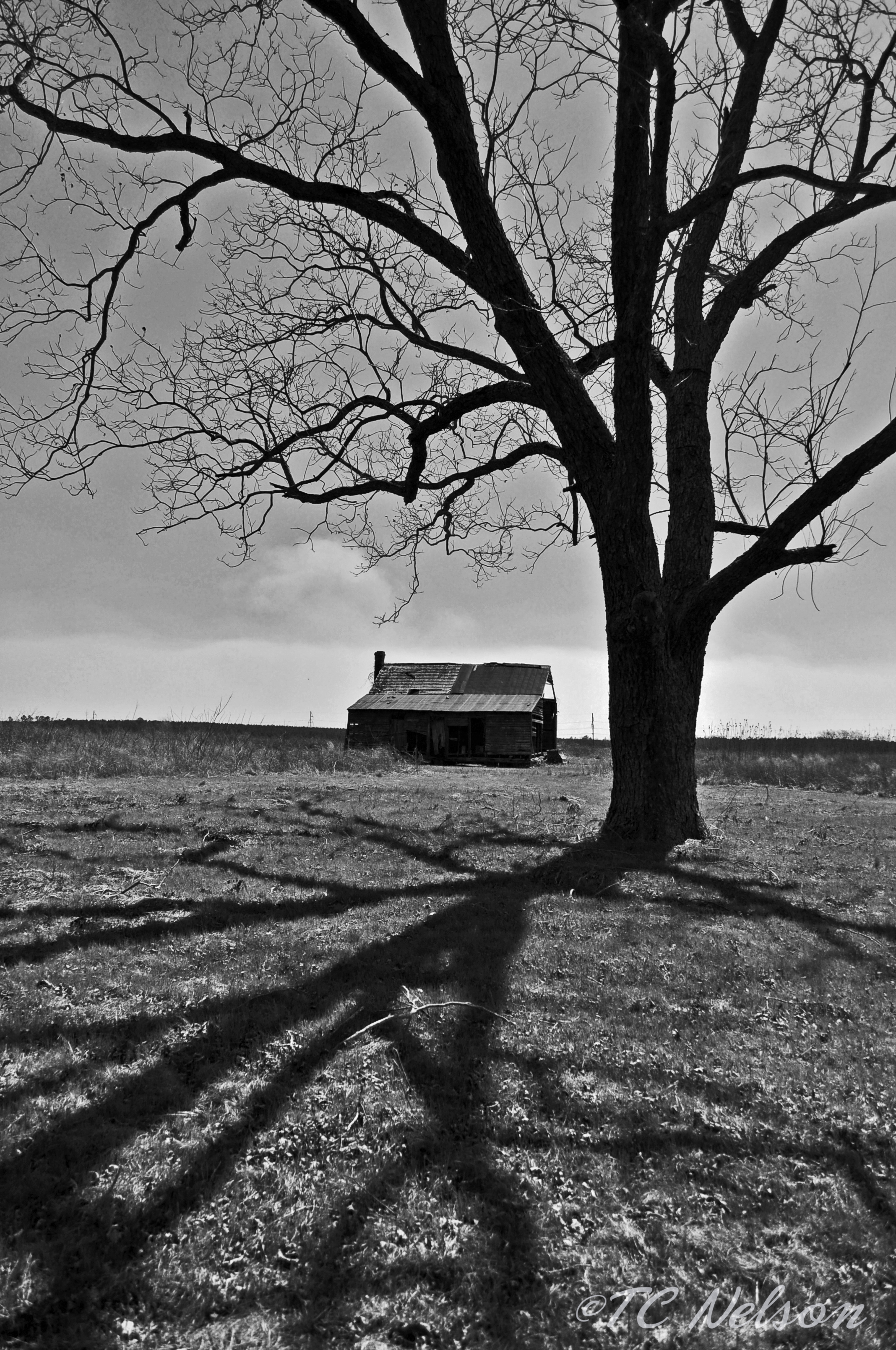
Graveyard of Dreams
Something Different
Brown Tint

#66: Bench Monday: Bowie Edition
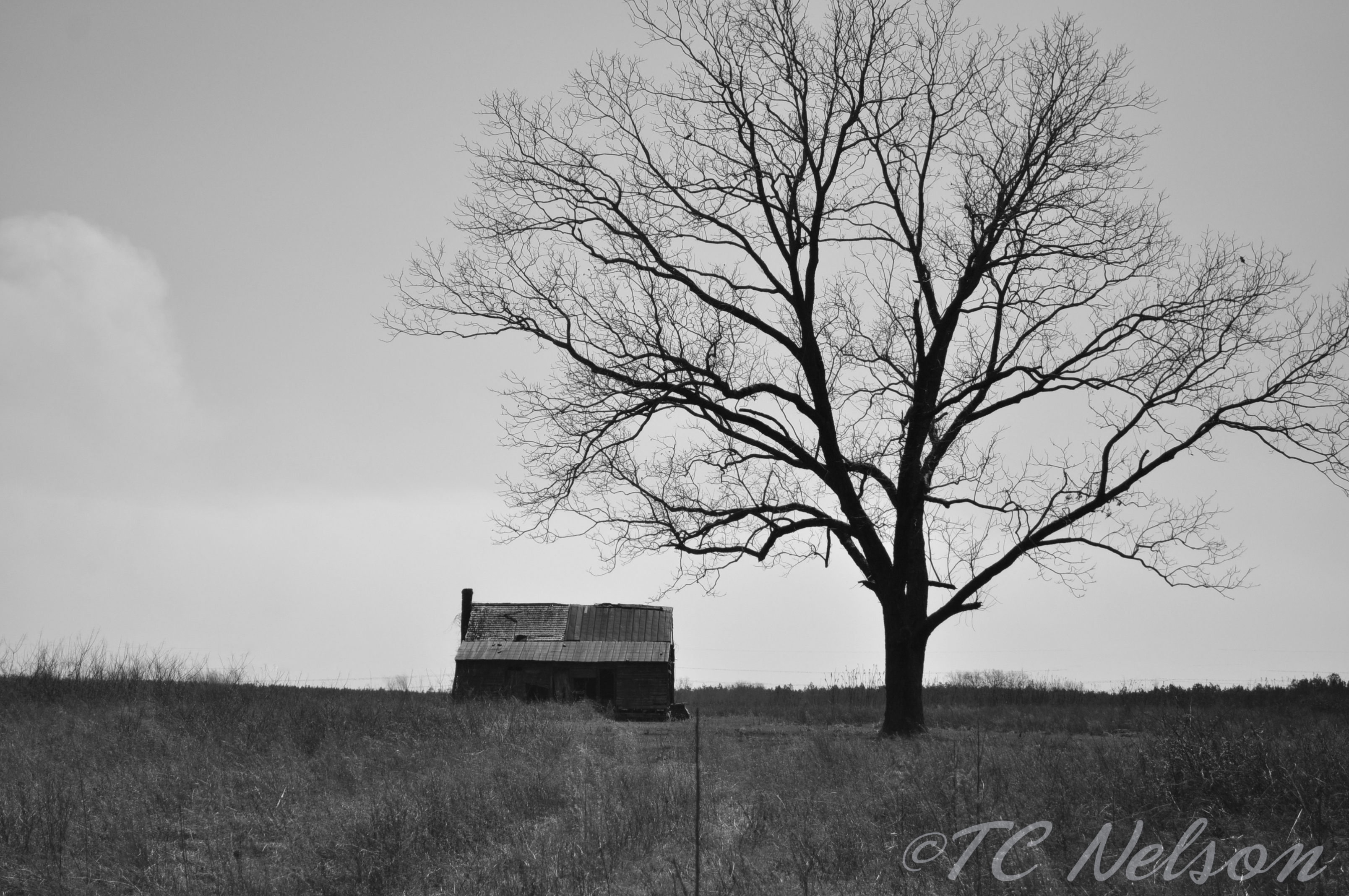
B & W House and tree

B & W House and tree
B & W
B & W Shadows

Dark Sky
B & W Shadows

hanging thief

Photo-1_6_14,-16.21.46-2

Lens Flare
04-30-2013- 2
04-30-2013 1
Photo-1_6_14,-16.21.46-3
hay field

Planting alfalfa at ERECS today for the Bull Test
Photo-1_6_14,-16.21.46-5
Camera Roll-59
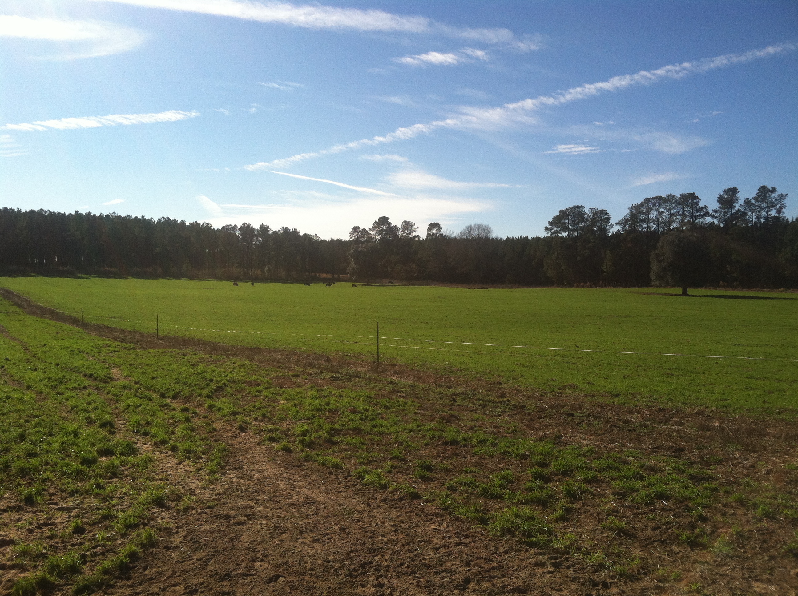
Photo-1_6_14,-16.21.46-1

Wet wet wet
Topographic Map of Pioneer Rd, Barnwell, SC, USA
Find elevation by address:

Places near Pioneer Rd, Barnwell, SC, USA:
Barnwell County
55 Rebecca St
3330 Crane Way
Barnwell Hill
Williston
Barnwell
Barnwell, SC, USA
Hunter Drive
3421 State Rd S-6-29
703 Centerwood Rd
50 Springs Ct, Blackville, SC, USA
Windsor
Martin
Augusta Hwy, Allendale, SC, USA
1 Creek Aly, Norway, SC, USA
Barnwell Rd, Allendale, SC, USA
387 Wexford Mill Rd
Allendale County
Burton's Ferry Hwy, Allendale, SC, USA
205 Jordan Loop
Recent Searches:
- Elevation of Corso Fratelli Cairoli, 35, Macerata MC, Italy
- Elevation of Tallevast Rd, Sarasota, FL, USA
- Elevation of 4th St E, Sonoma, CA, USA
- Elevation of Black Hollow Rd, Pennsdale, PA, USA
- Elevation of Oakland Ave, Williamsport, PA, USA
- Elevation of Pedrógão Grande, Portugal
- Elevation of Klee Dr, Martinsburg, WV, USA
- Elevation of Via Roma, Pieranica CR, Italy
- Elevation of Tavkvetili Mountain, Georgia
- Elevation of Hartfords Bluff Cir, Mt Pleasant, SC, USA