Elevation of Hamilton VIC, Australia
Location: Australia > Victoria > Southern Grampians Shire >
Longitude: 142.0178976
Latitude: -37.7455702
Elevation: 193m / 633feet
Barometric Pressure: 0KPa
Related Photos:
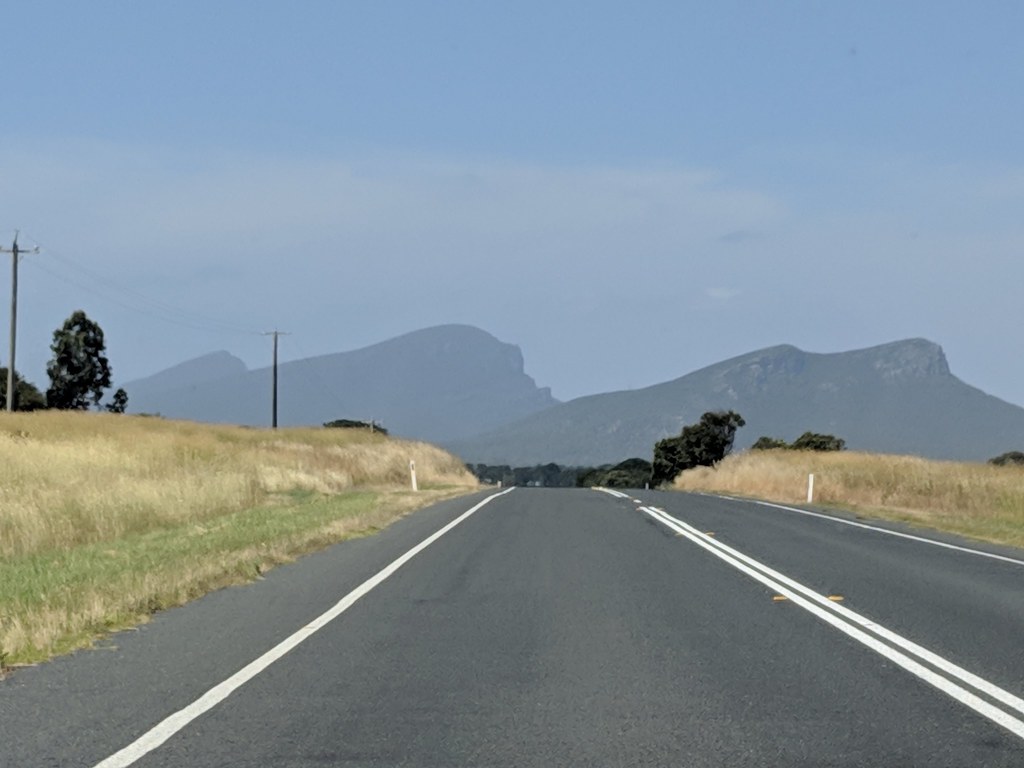
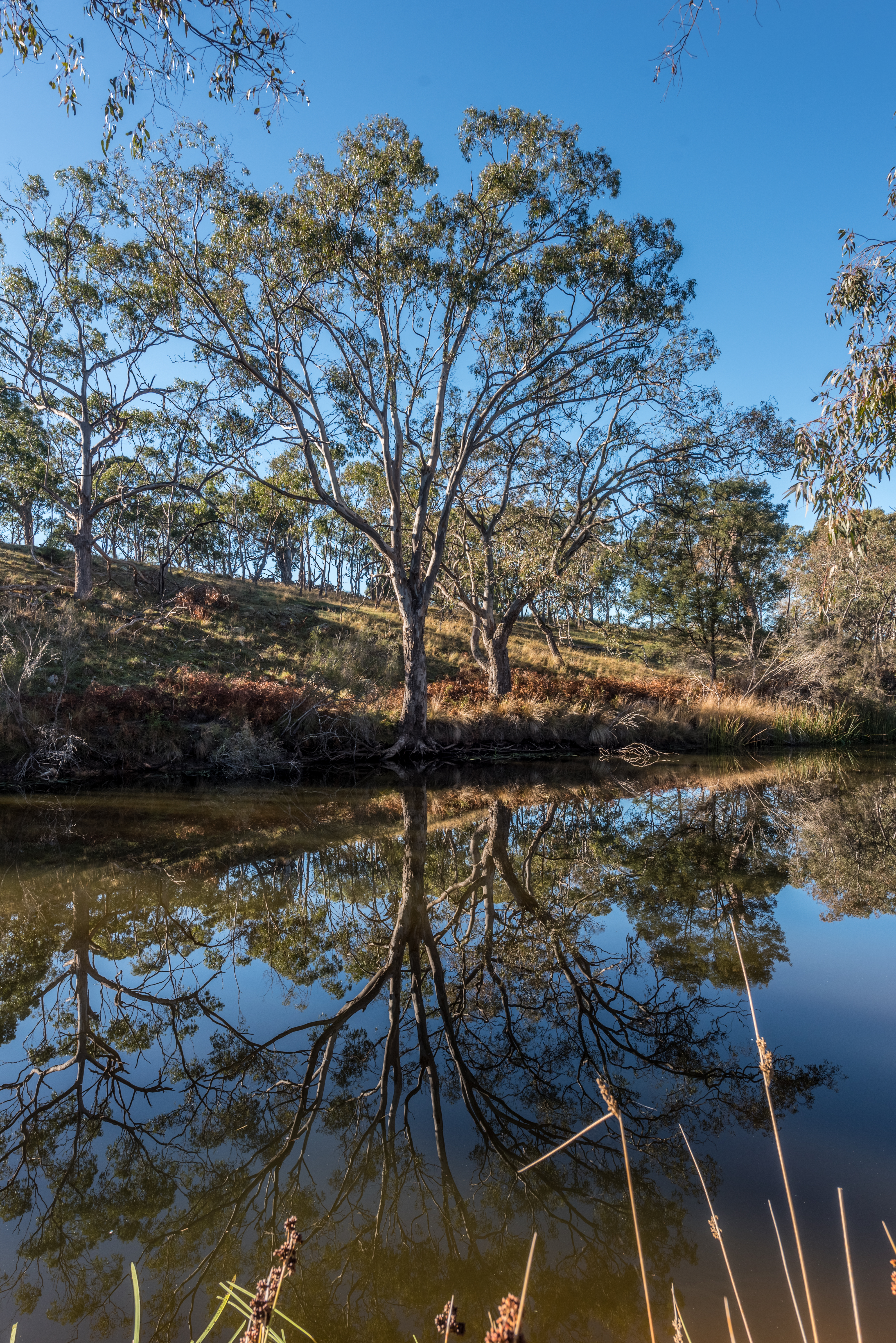
First view of the Southern Grampians
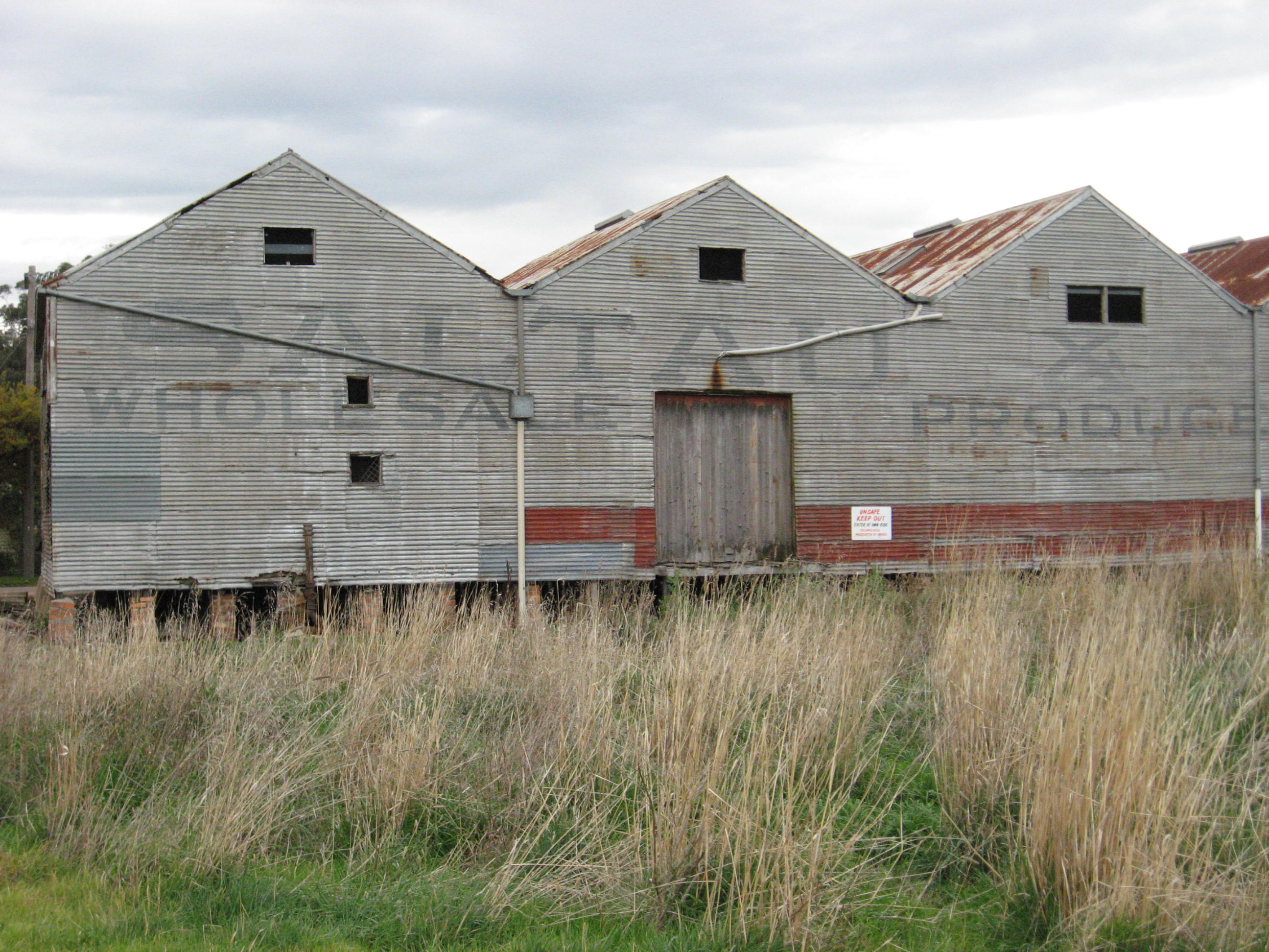
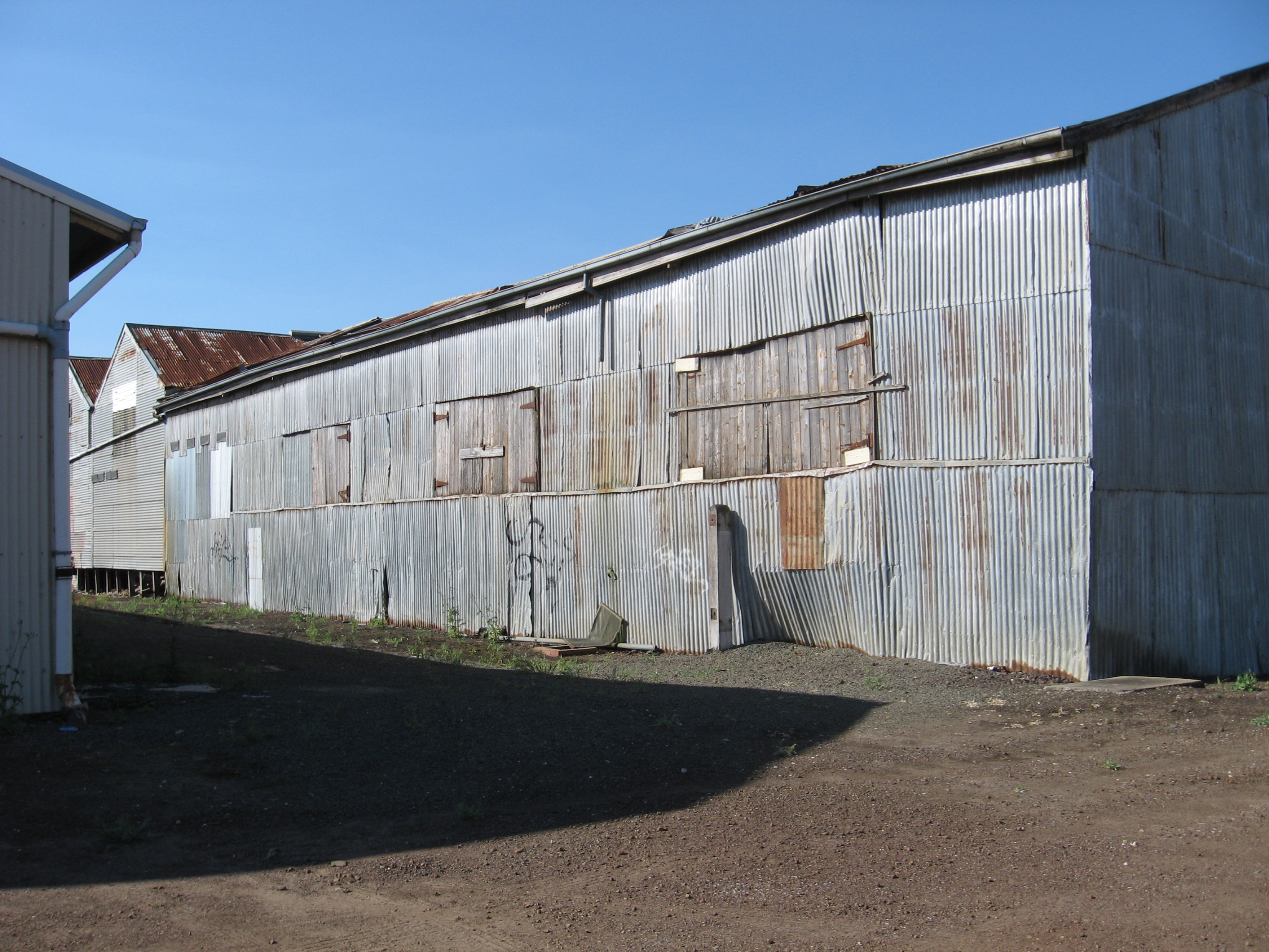
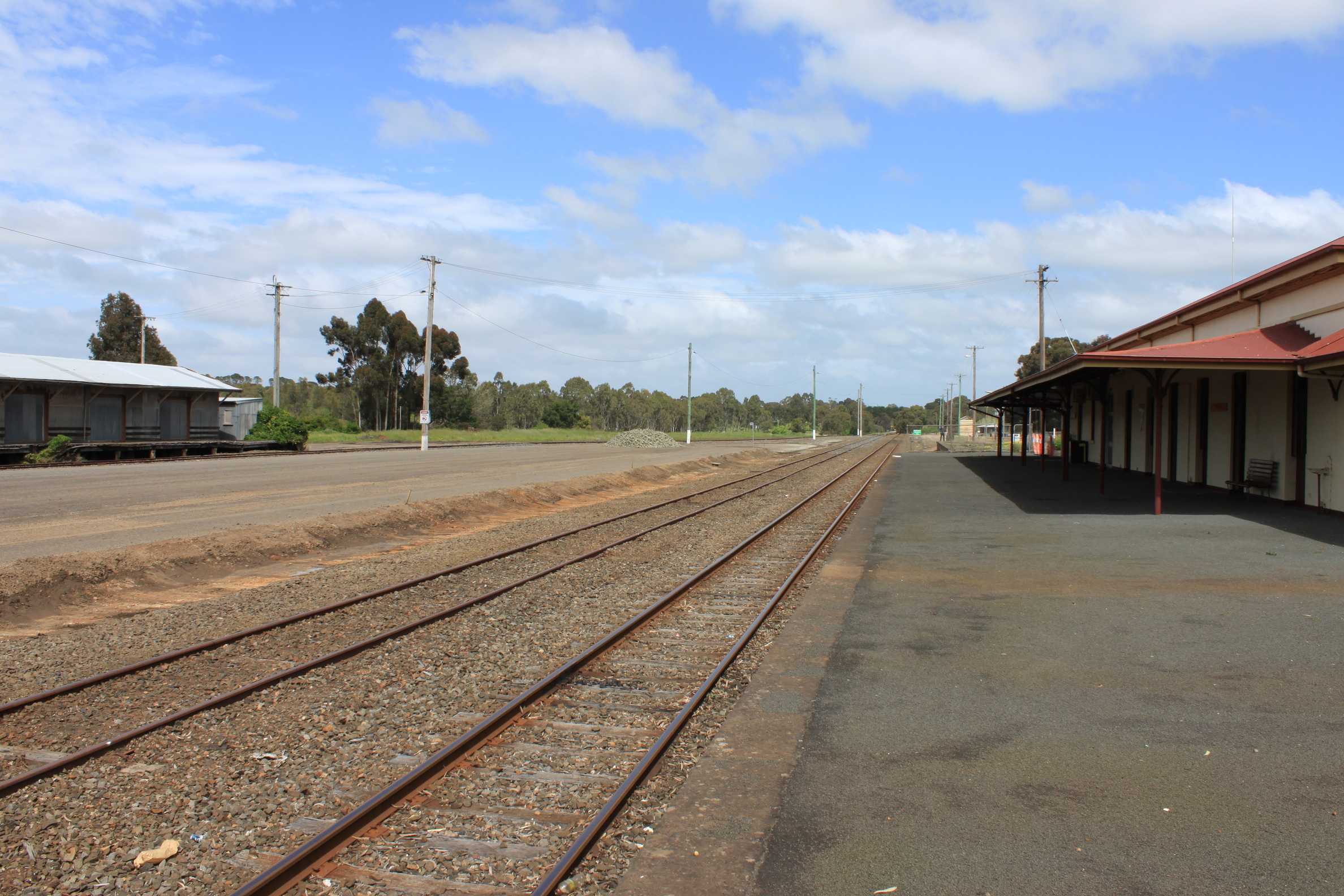
Horsham Permewan Wright Warehouse Feb 2009 download 043
Ready To Jump
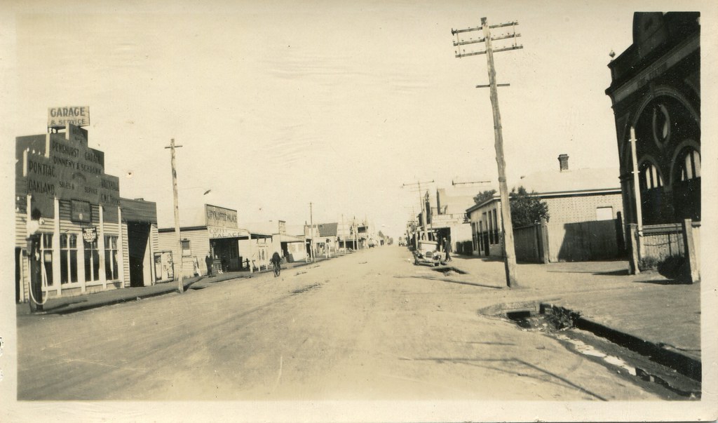
Gray Street, Hamilton (1926)
Take Me Away . [Explore 17/12/11 #313]
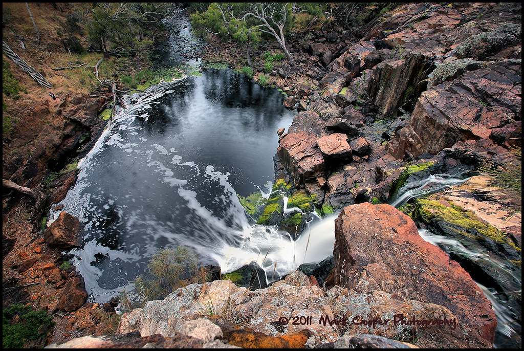
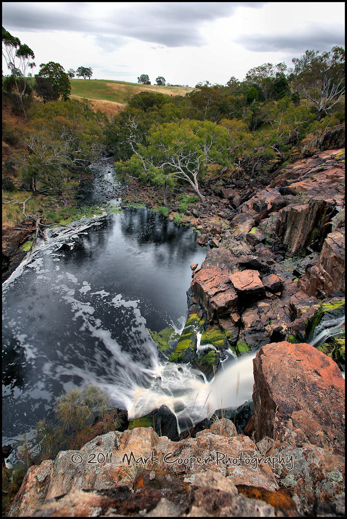
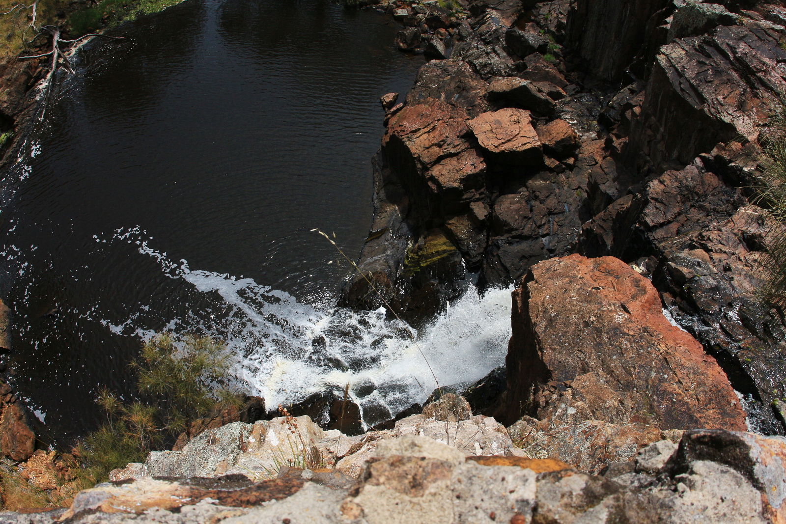
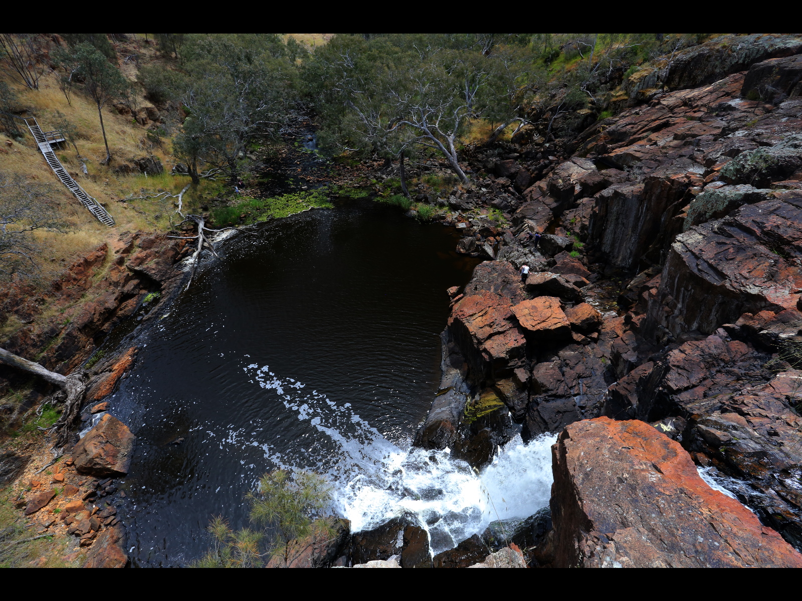
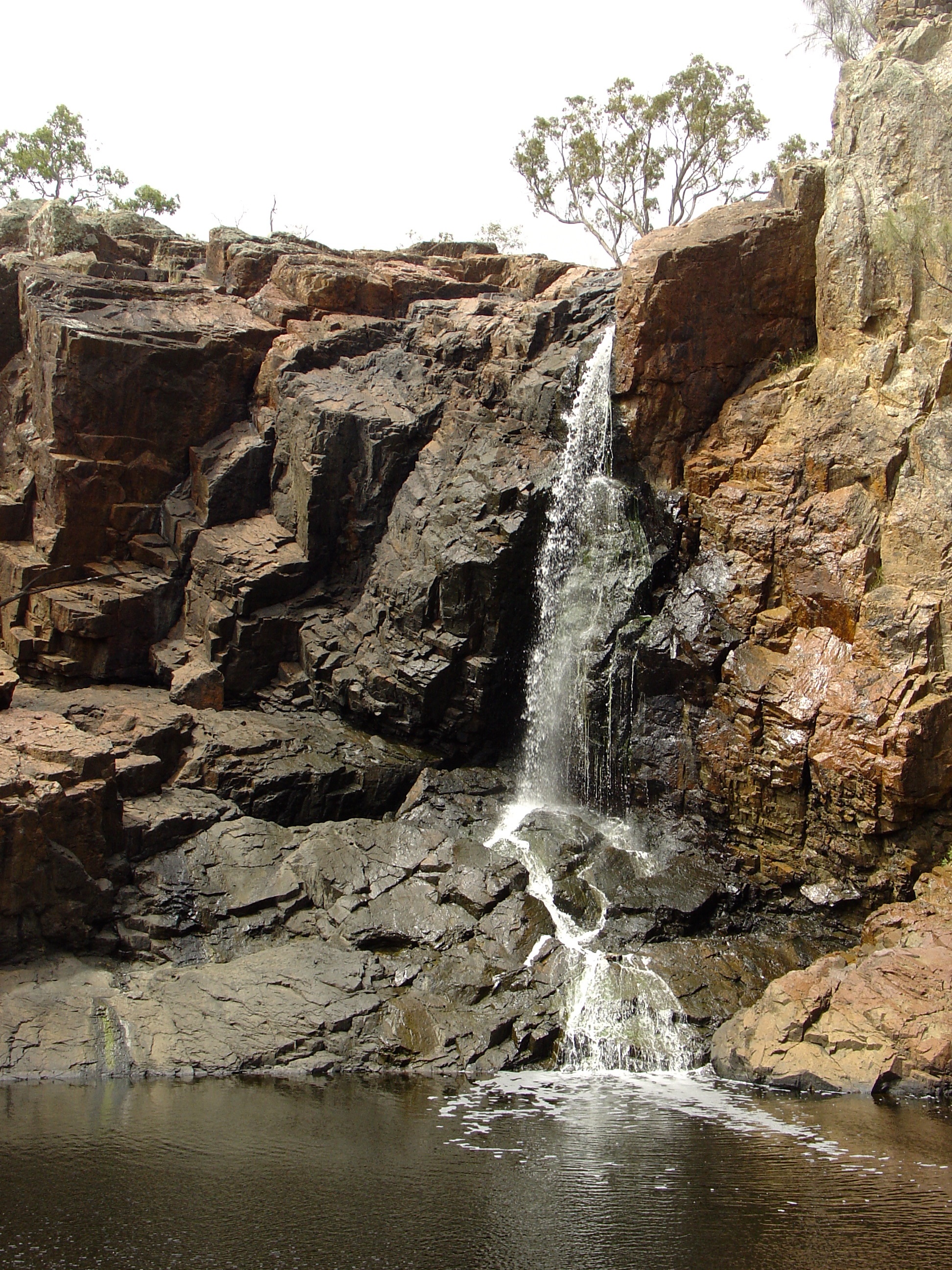
Nigretta Falls
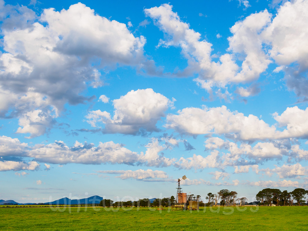
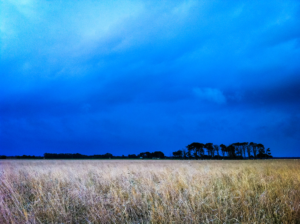
Farmscape in Western Victoria

Nigretta Downstream (HDR)
Horsham Permewan Wright Warehouse January 27th 2014 003
AK-20161007-3100

Nigretta Falls DSC_2884
Hamilton - Nigretta Falls Dec.2013

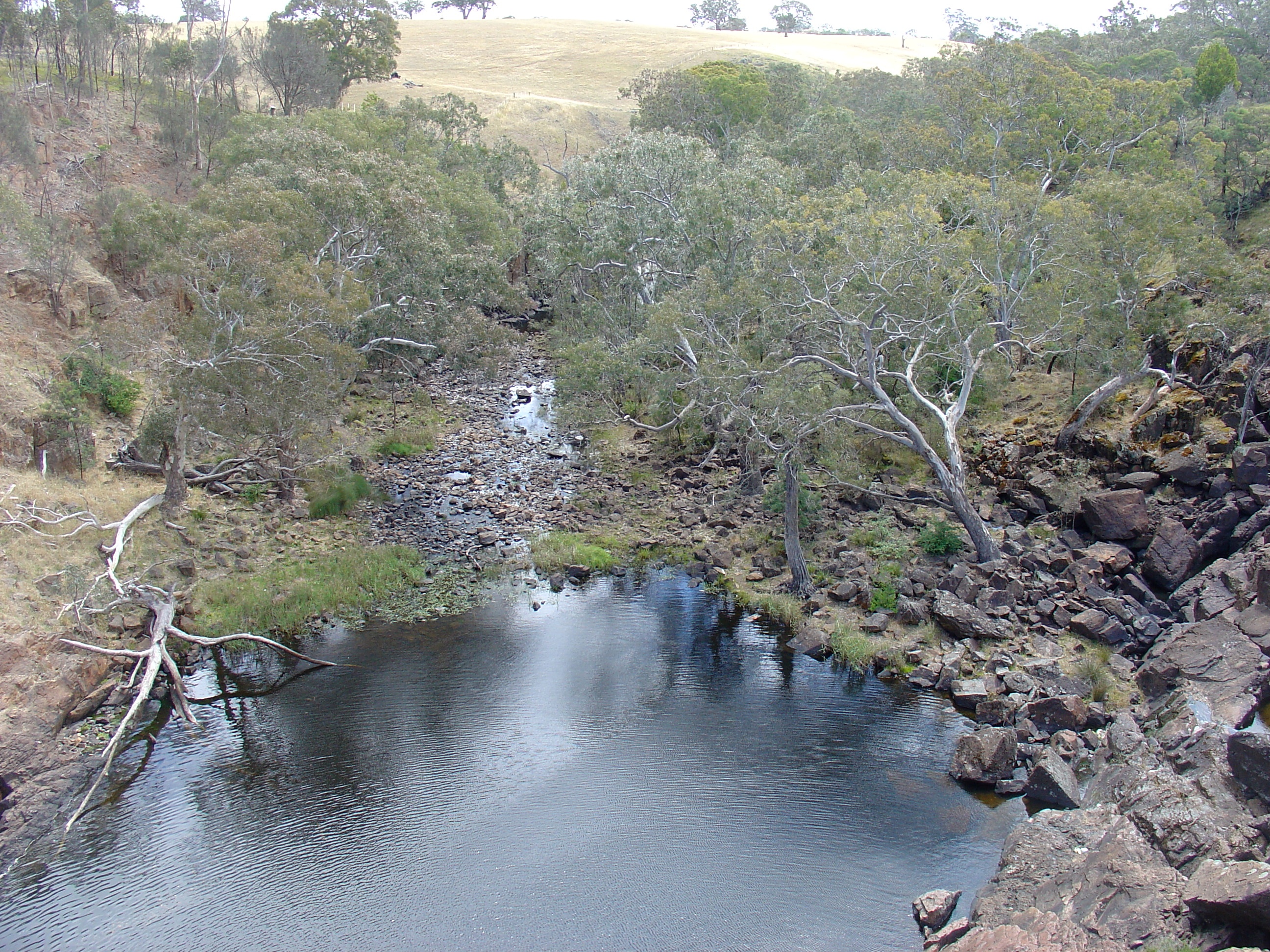
Hamilton - Wannon River downstream of Nigretta Falls Dec.2013
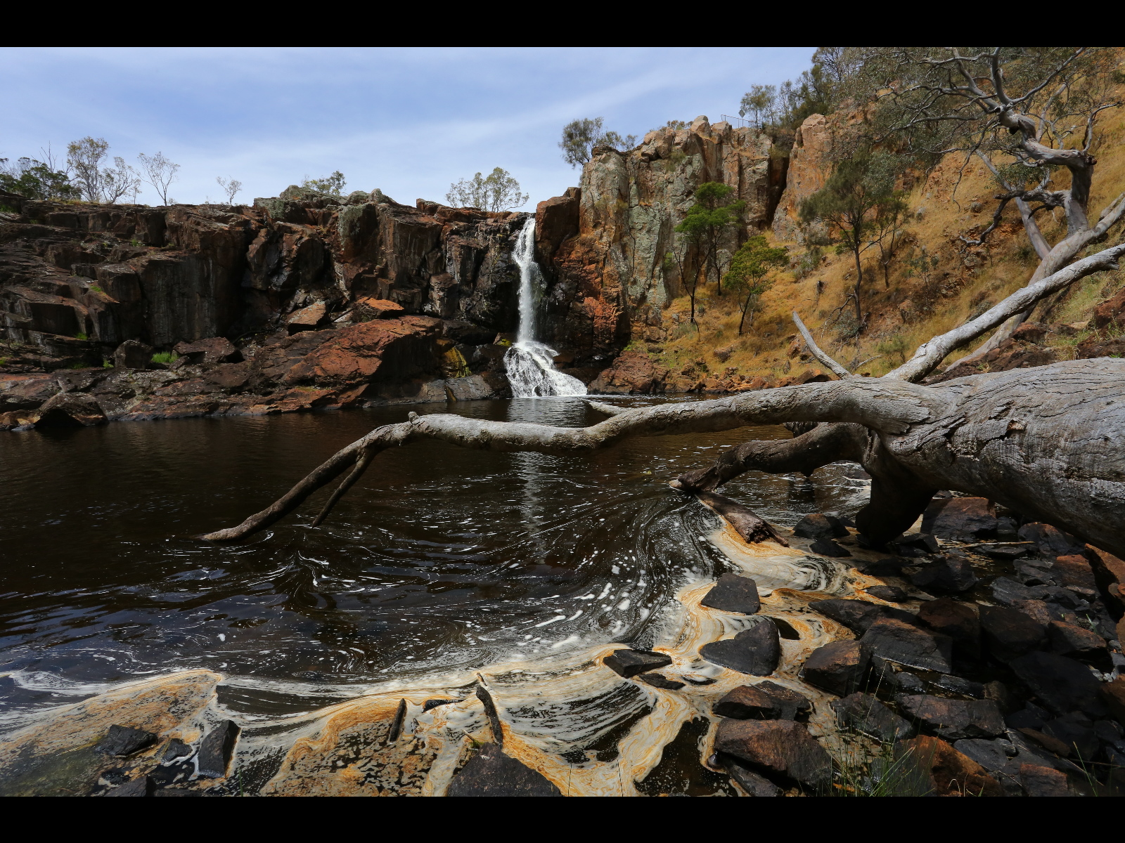
Nigretta falls 2013
IMG_0770_1_2TM-1
Nigretta falls 2013
Dramatic stormy sky
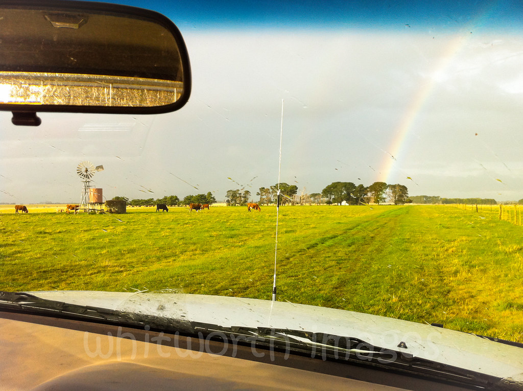
Storm and rainbow
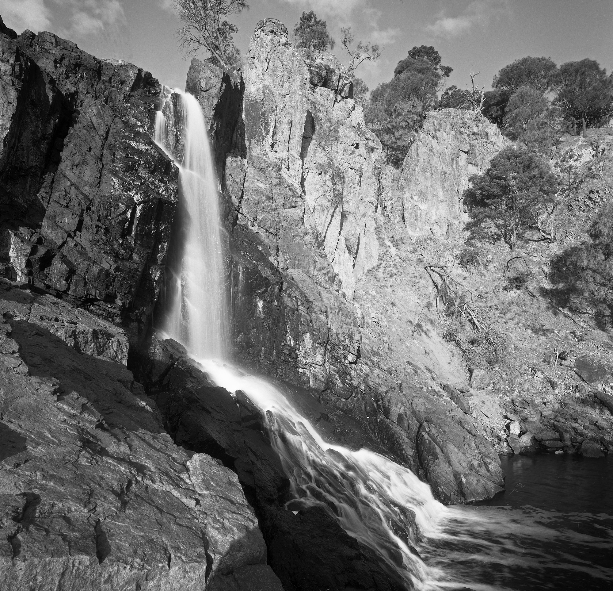
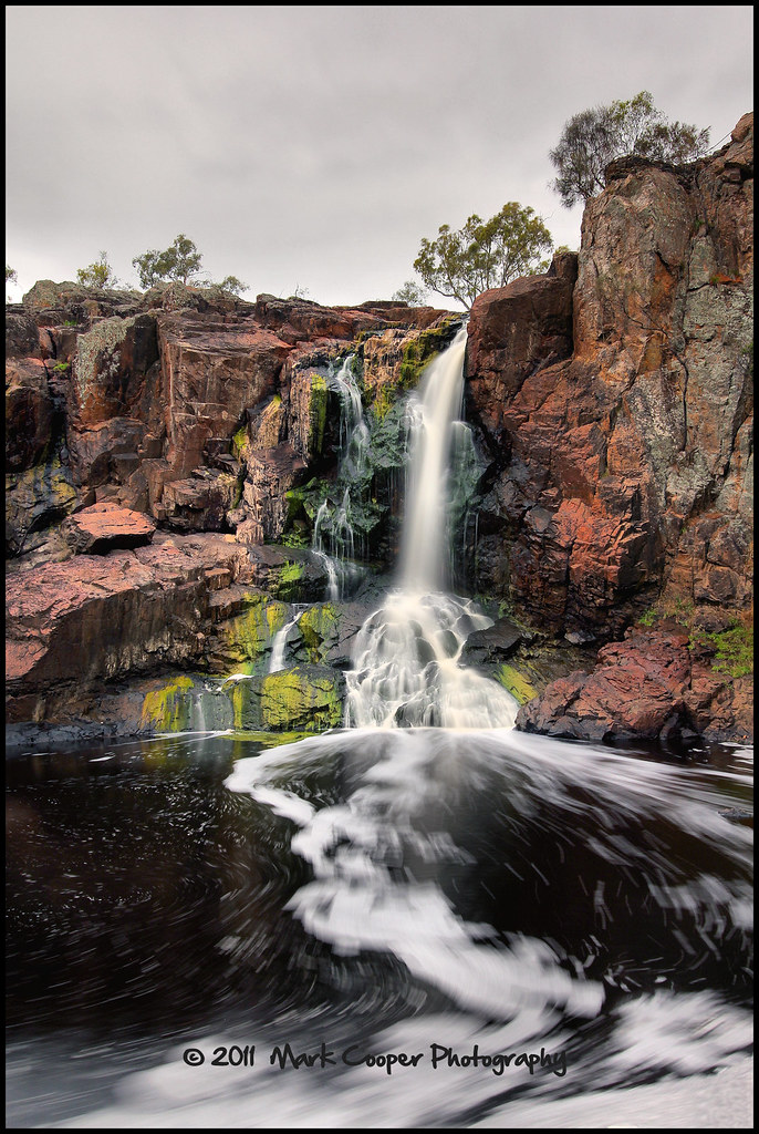
Nigretta Falls, Wannon River
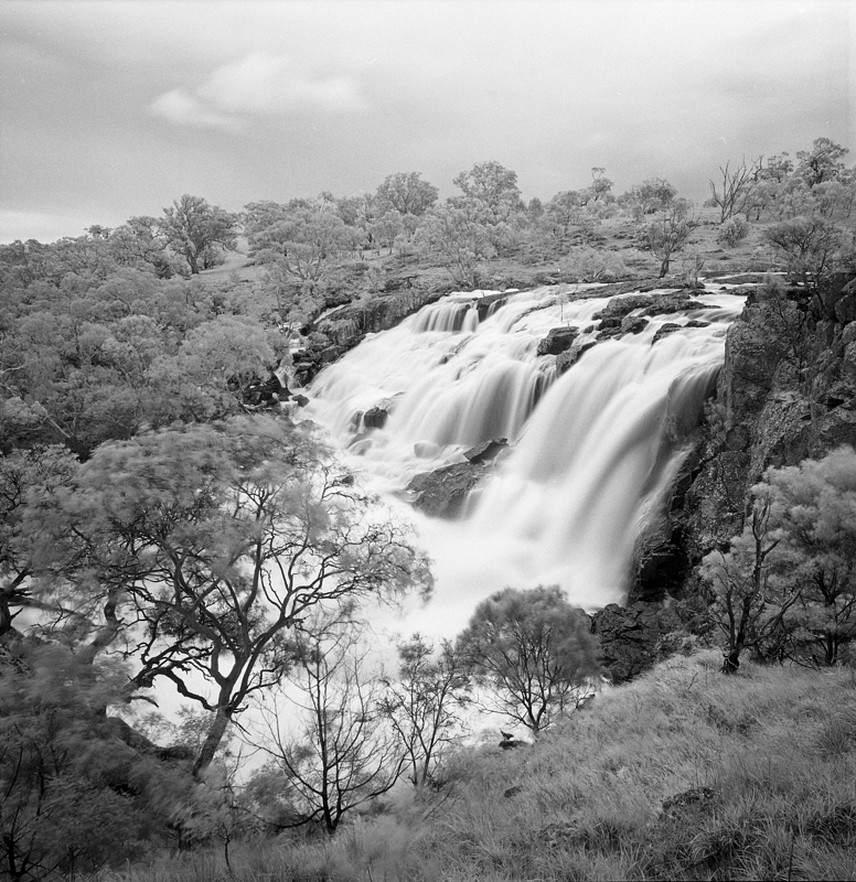
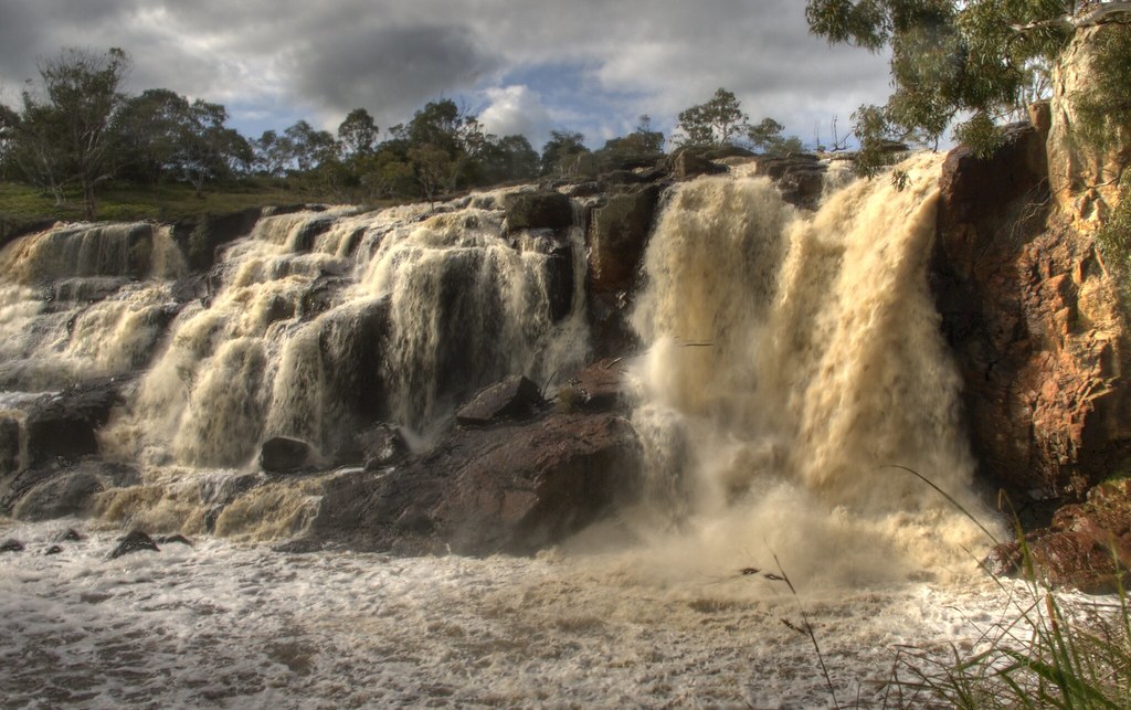
Nigretta Falls in Flood
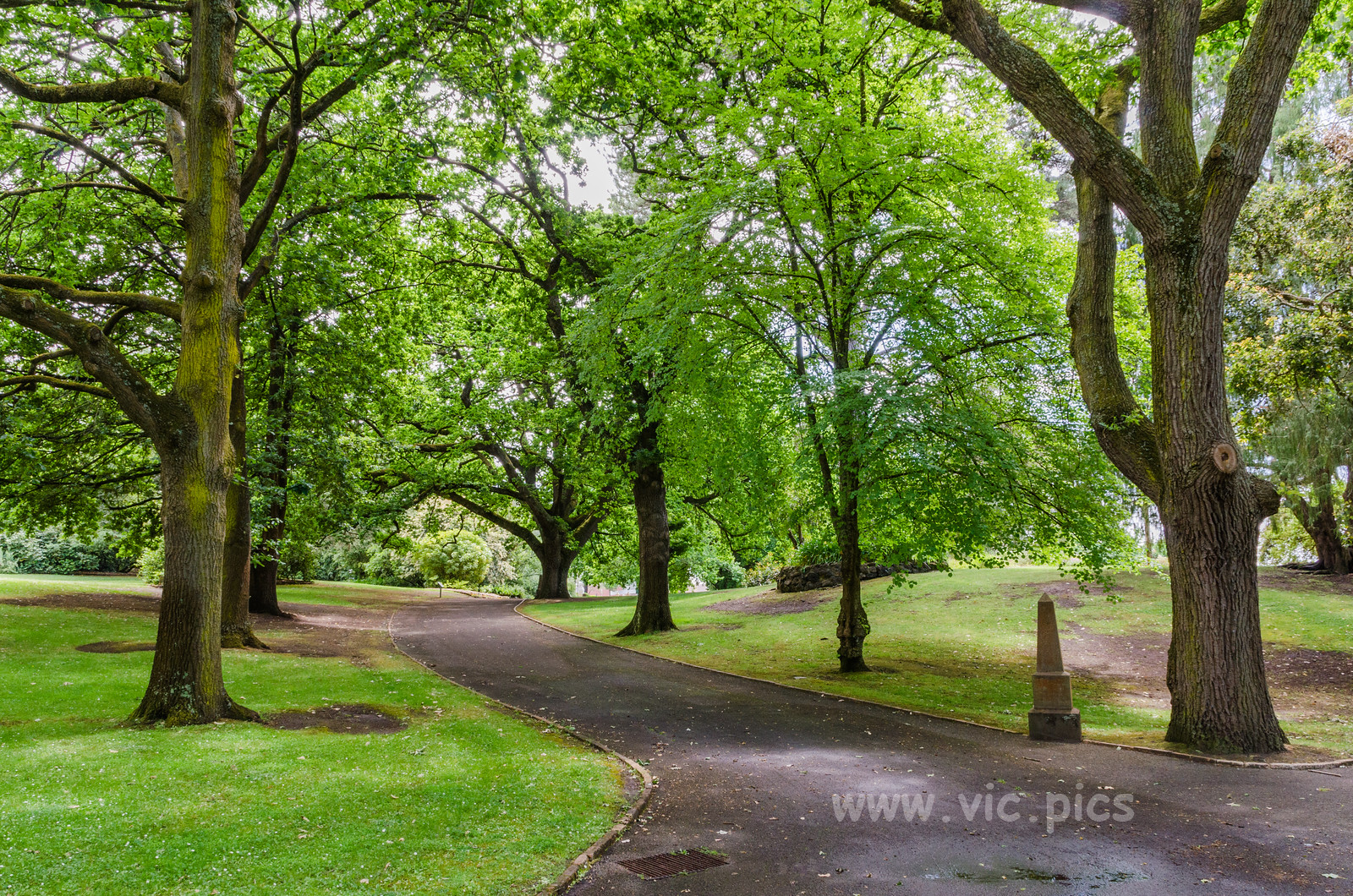
Hamilton Botanic Gardens

live high
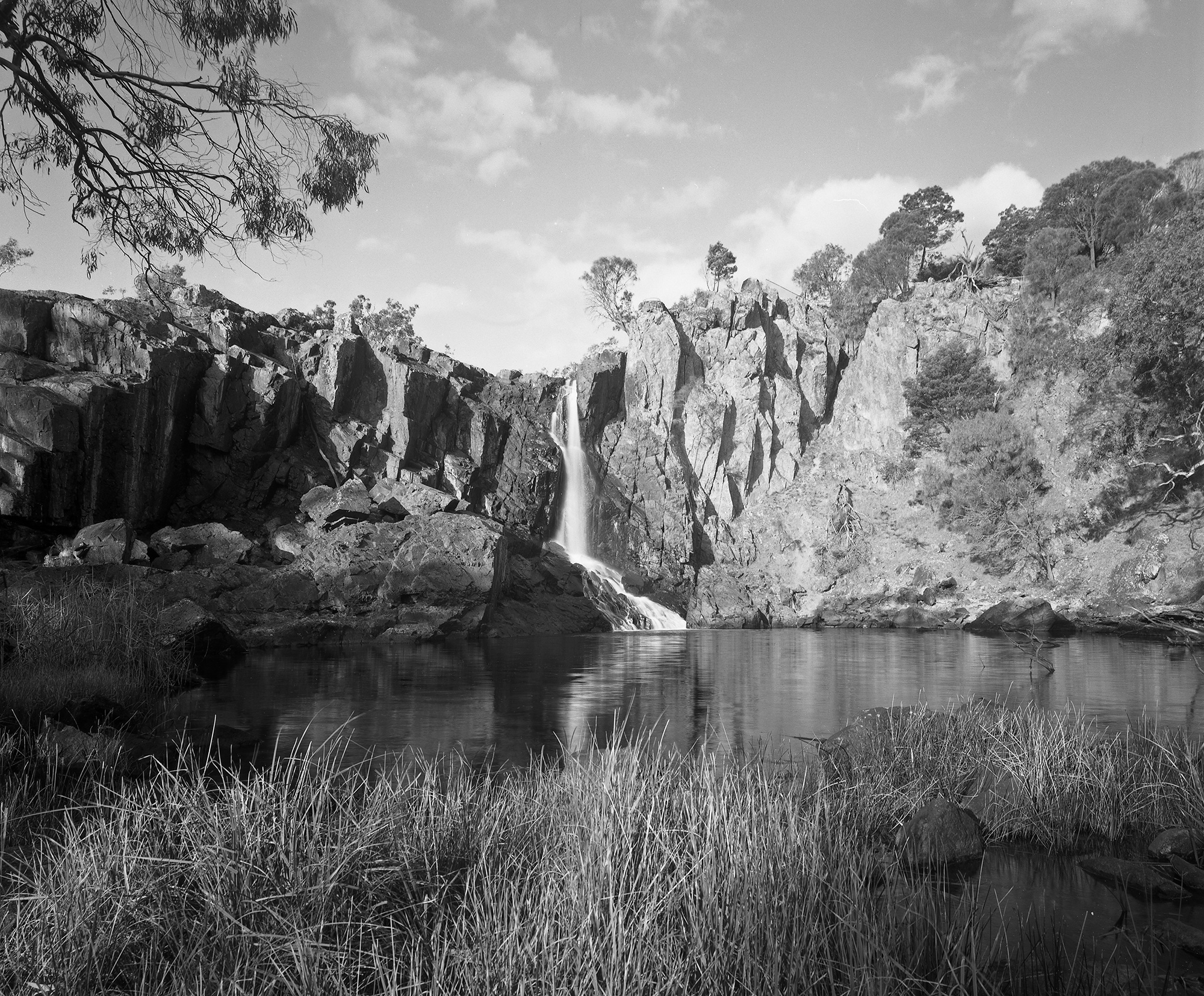
Nigretta Falls, Wannon River

Wannon River
Geocaching “Another Trip In The Dark” - 33
Wannon river

2013 Melbourne/Geelong Tour
Geocaching “Another Trip In The Dark” - 18
Topographic Map of Hamilton VIC, Australia
Find elevation by address:

Places in Hamilton VIC, Australia:
Places near Hamilton VIC, Australia:
5 Lonsdale St
Southern Grampians Shire
Coleraine
8 Annesley St
Merino
Glenelg Shire
Wando Vale
48 Jackson St
Casterton
69 Jackson St
7 Miller St
54 Russell St
Warrock
Dartmoor
8 Warrock Rd
Natimuk
30 Laidlaw Ave
Edenhope
Penola
District Council Of Grant
Recent Searches:
- Elevation of 107, Big Apple Road, East Palatka, Putnam County, Florida, 32131, USA
- Elevation of Jiezi, Chongzhou City, Sichuan, China
- Elevation of Chongzhou City, Sichuan, China
- Elevation of Huaiyuan, Chongzhou City, Sichuan, China
- Elevation of Qingxia, Chengdu, Sichuan, China
- Elevation of Corso Fratelli Cairoli, 35, Macerata MC, Italy
- Elevation of Tallevast Rd, Sarasota, FL, USA
- Elevation of 4th St E, Sonoma, CA, USA
- Elevation of Black Hollow Rd, Pennsdale, PA, USA
- Elevation of Oakland Ave, Williamsport, PA, USA
- Elevation of Pedrógão Grande, Portugal
- Elevation of Klee Dr, Martinsburg, WV, USA
- Elevation of Via Roma, Pieranica CR, Italy
- Elevation of Tavkvetili Mountain, Georgia
- Elevation of Hartfords Bluff Cir, Mt Pleasant, SC, USA
- Elevation of SW Barberry Dr, Beaverton, OR, USA
- Elevation of Old Ahsahka Grade, Ahsahka, ID, USA
- Elevation of State Hwy F, Pacific, MO, USA
- Elevation of Chemin de Bel air, Chem. de Bel air, Mougins, France
- Elevation of Cloverdale Dr, Bloomingdale, GA, USA