Elevation of Dartmoor VIC, Australia
Location: Australia > Victoria > Glenelg Shire >
Longitude: 141.2730001
Latitude: -37.9143894
Elevation: -10000m / -32808feet
Barometric Pressure: 0KPa
Related Photos:

Dartmoor (2) - two up game
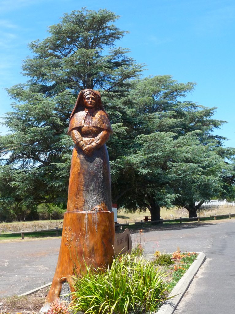
Dartmoor (1) - nurse

Glenelg River bridge at Dartmoor

Looking west at Dartmoor

glenelg river at moleside - panorama
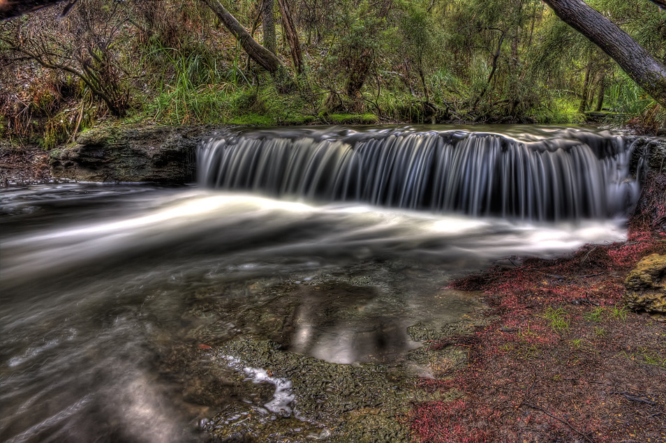
Moleside Waterfall

Superb Fairywren

Wood Carvings
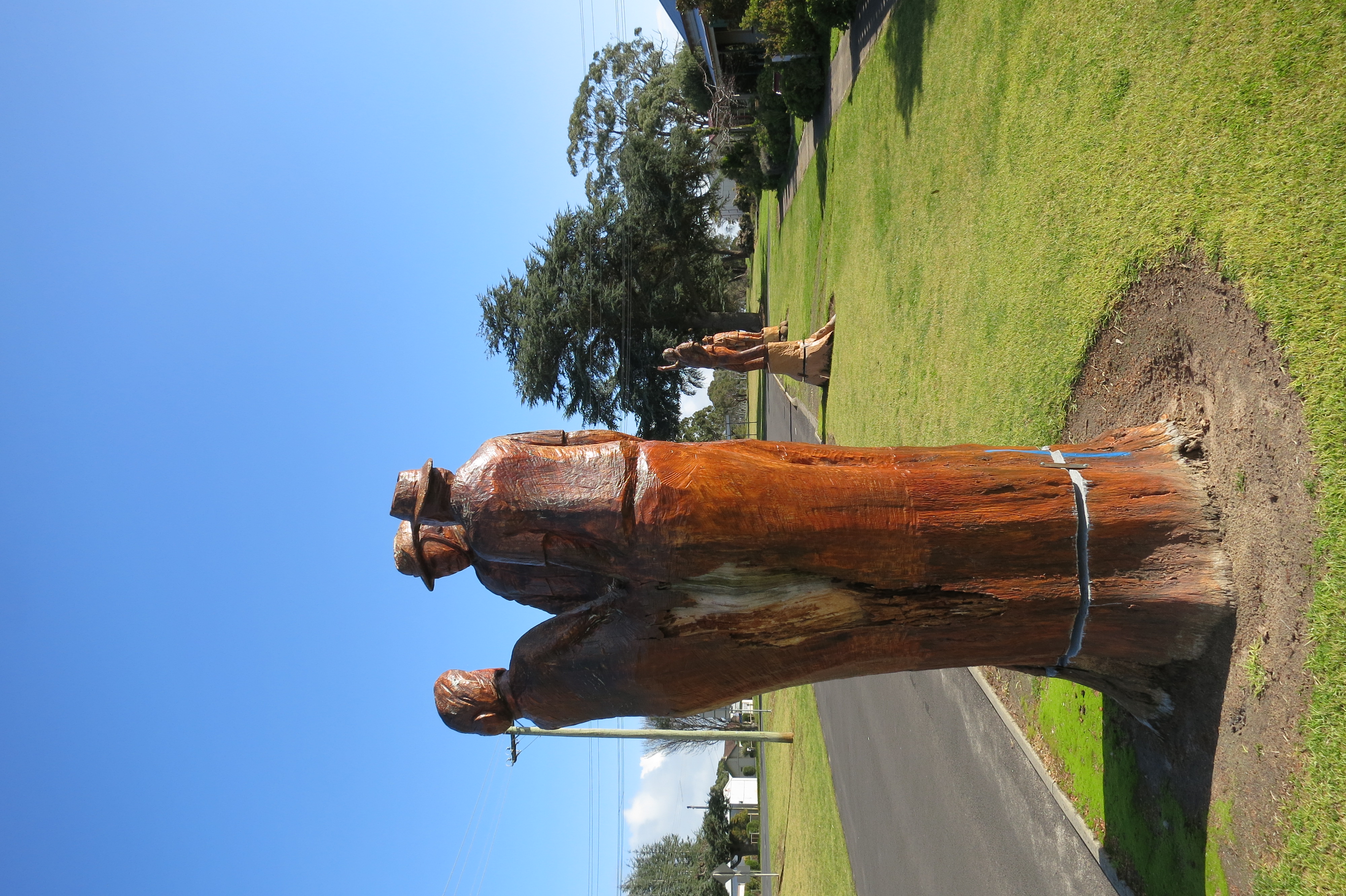
stump figures

We're moving again! Woo!

Yellow-Breasted Finch

Yellow-Breasted Finch

Superb Fairywren

Campfire Flames
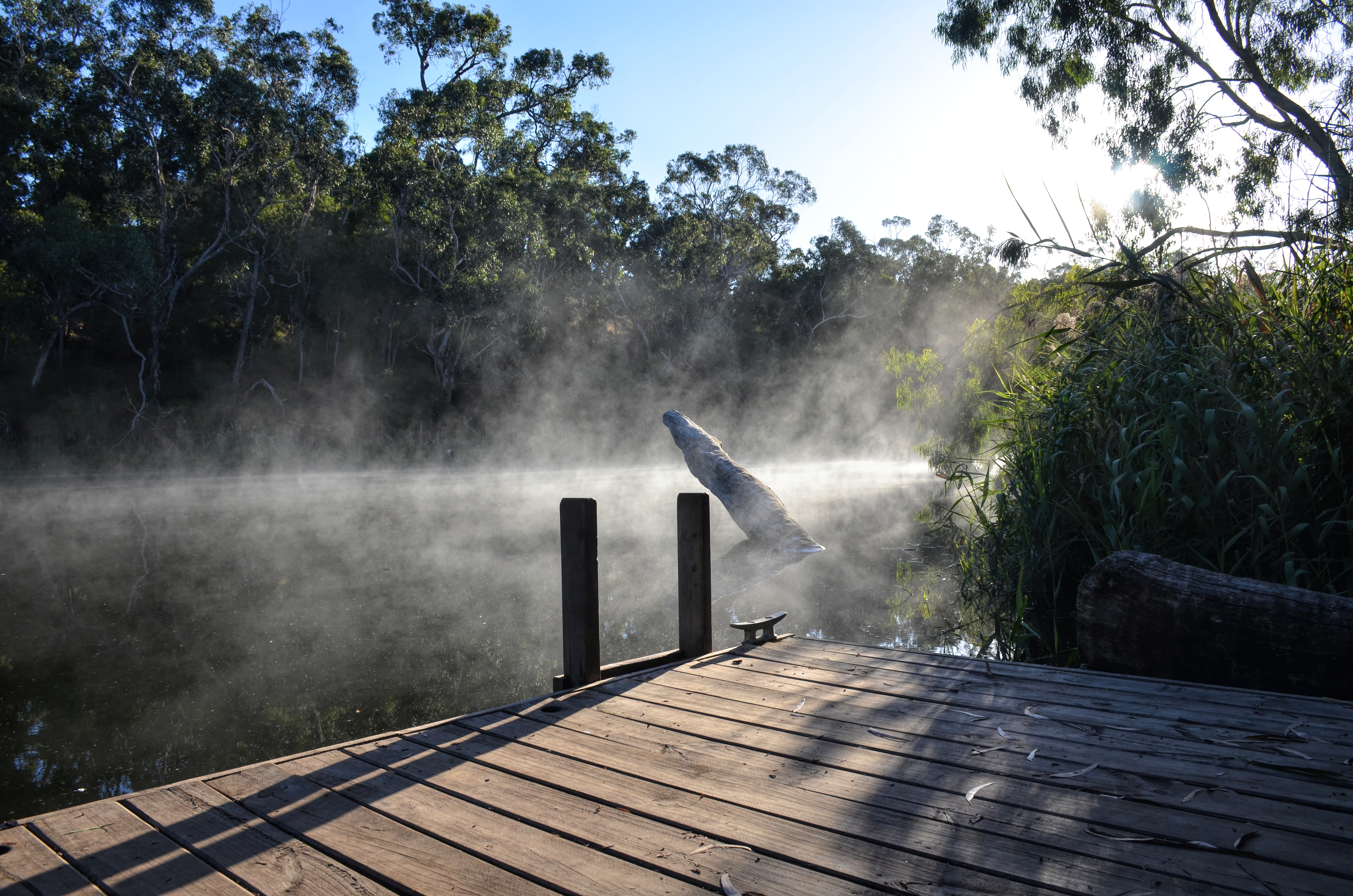
Glenelg River Morning Mist

Yellow-Breasted Finch

Yellow-Breasted Finch
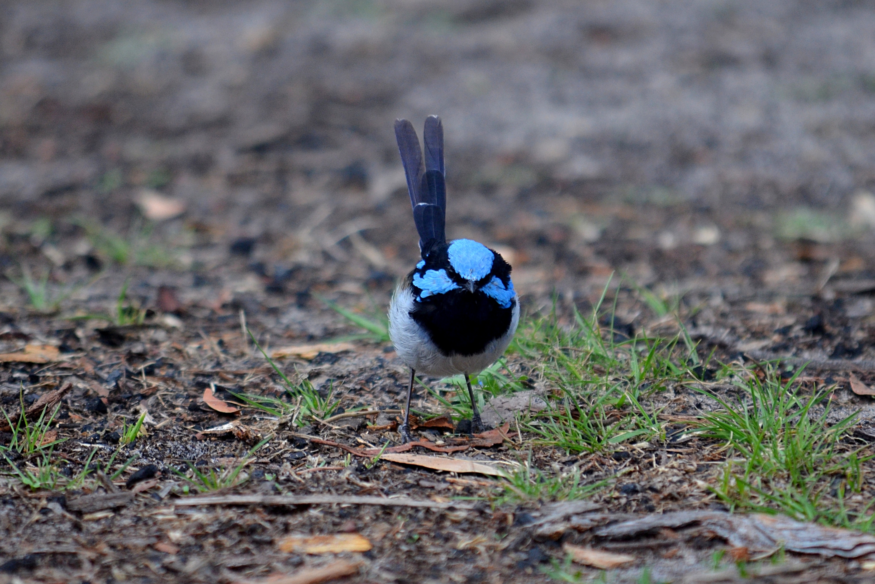
Superb Fairywren

Superb Fairywren

Superb Fairywren

Wild Dog Bend Track
Topographic Map of Dartmoor VIC, Australia
Find elevation by address:

Places near Dartmoor VIC, Australia:
Glenelg Shire
Merino
8 Annesley St
54 Russell St
69 Jackson St
7 Miller St
48 Jackson St
Casterton
Wando Vale
8 Warrock Rd
Warrock
Coleraine
District Council Of Grant
Penola
Southern Grampians Shire
5 Lonsdale St
Hamilton
30 Laidlaw Ave
Edenhope
West Wimmera Shire
Recent Searches:
- Elevation map of Greenland, Greenland
- Elevation of Sullivan Hill, New York, New York, 10002, USA
- Elevation of Morehead Road, Withrow Downs, Charlotte, Mecklenburg County, North Carolina, 28262, USA
- Elevation of 2800, Morehead Road, Withrow Downs, Charlotte, Mecklenburg County, North Carolina, 28262, USA
- Elevation of Yangbi Yi Autonomous County, Yunnan, China
- Elevation of Pingpo, Yangbi Yi Autonomous County, Yunnan, China
- Elevation of Mount Malong, Pingpo, Yangbi Yi Autonomous County, Yunnan, China
- Elevation map of Yongping County, Yunnan, China
- Elevation of North 8th Street, Palatka, Putnam County, Florida, 32177, USA
- Elevation of 107, Big Apple Road, East Palatka, Putnam County, Florida, 32131, USA
- Elevation of Jiezi, Chongzhou City, Sichuan, China
- Elevation of Chongzhou City, Sichuan, China
- Elevation of Huaiyuan, Chongzhou City, Sichuan, China
- Elevation of Qingxia, Chengdu, Sichuan, China
- Elevation of Corso Fratelli Cairoli, 35, Macerata MC, Italy
- Elevation of Tallevast Rd, Sarasota, FL, USA
- Elevation of 4th St E, Sonoma, CA, USA
- Elevation of Black Hollow Rd, Pennsdale, PA, USA
- Elevation of Oakland Ave, Williamsport, PA, USA
- Elevation of Pedrógão Grande, Portugal