Elevation of Coleraine VIC, Australia
Location: Australia > Victoria > Southern Grampians Shire >
Longitude: 141.7
Latitude: -37.6
Elevation: 95m / 312feet
Barometric Pressure: 100KPa
Elevation Map:
Satellite Map:
Related Photos:

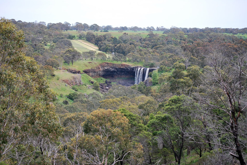
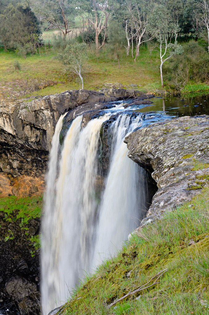
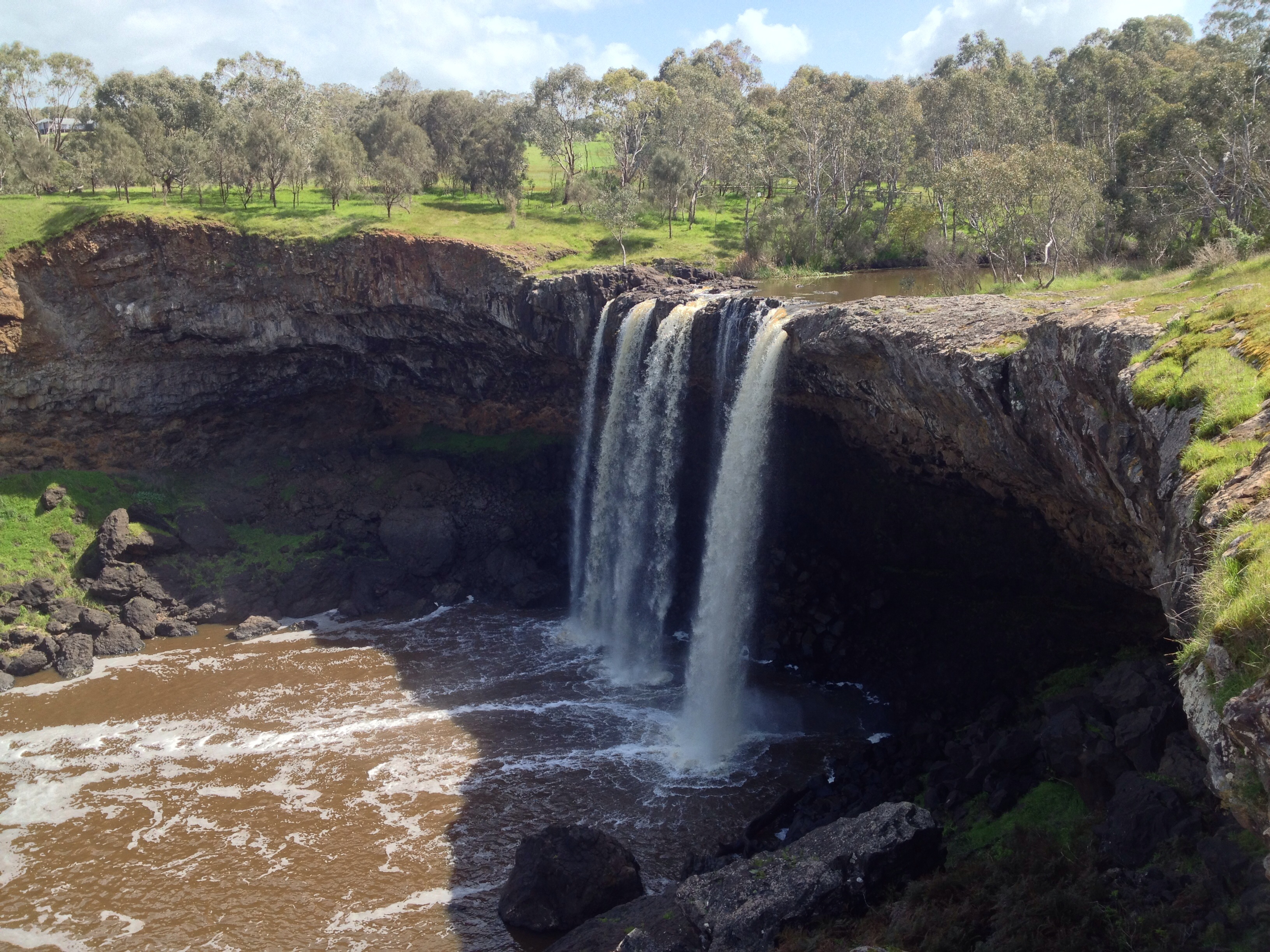
Wannon Falls
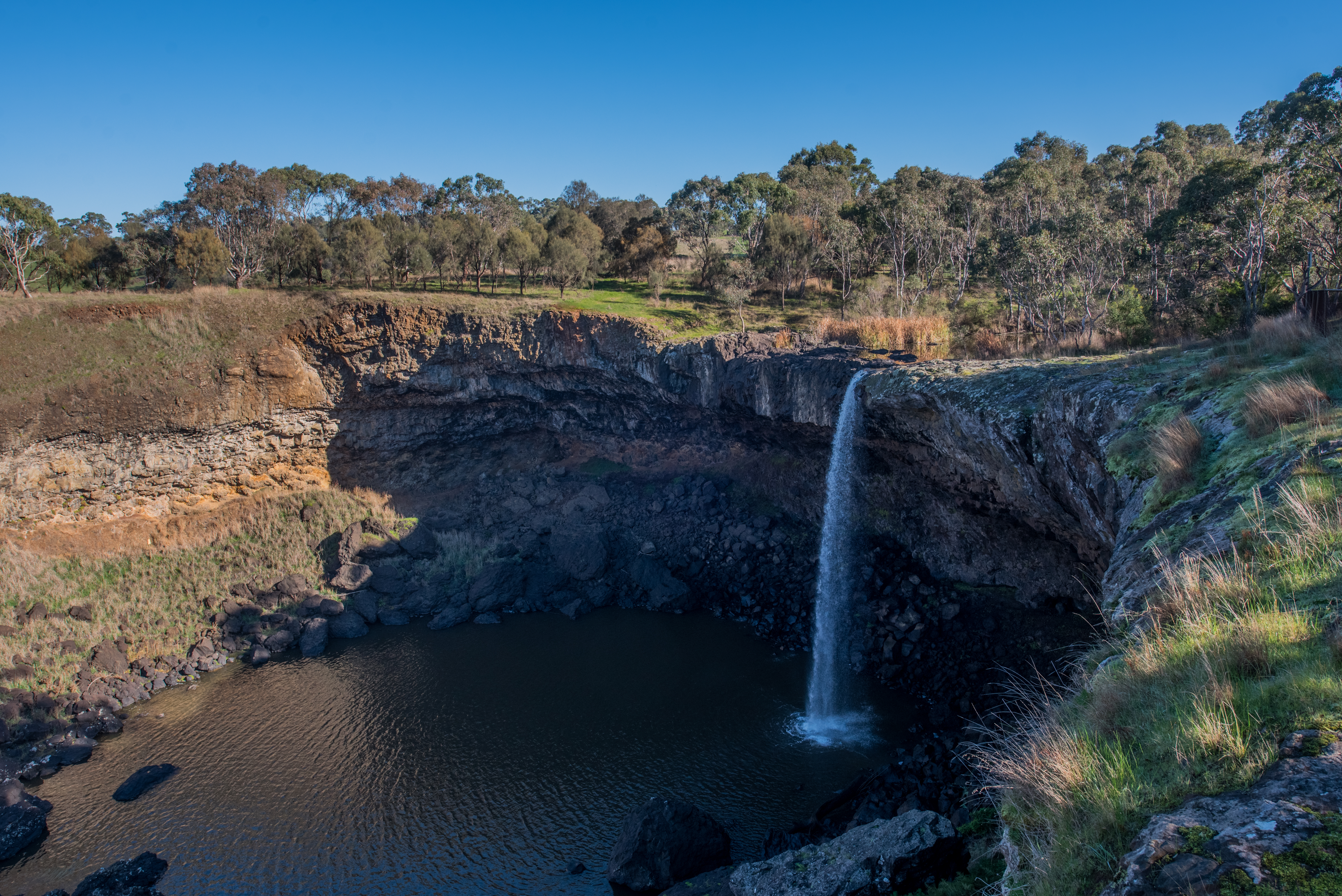
Wannon Falls
Wannon Falls
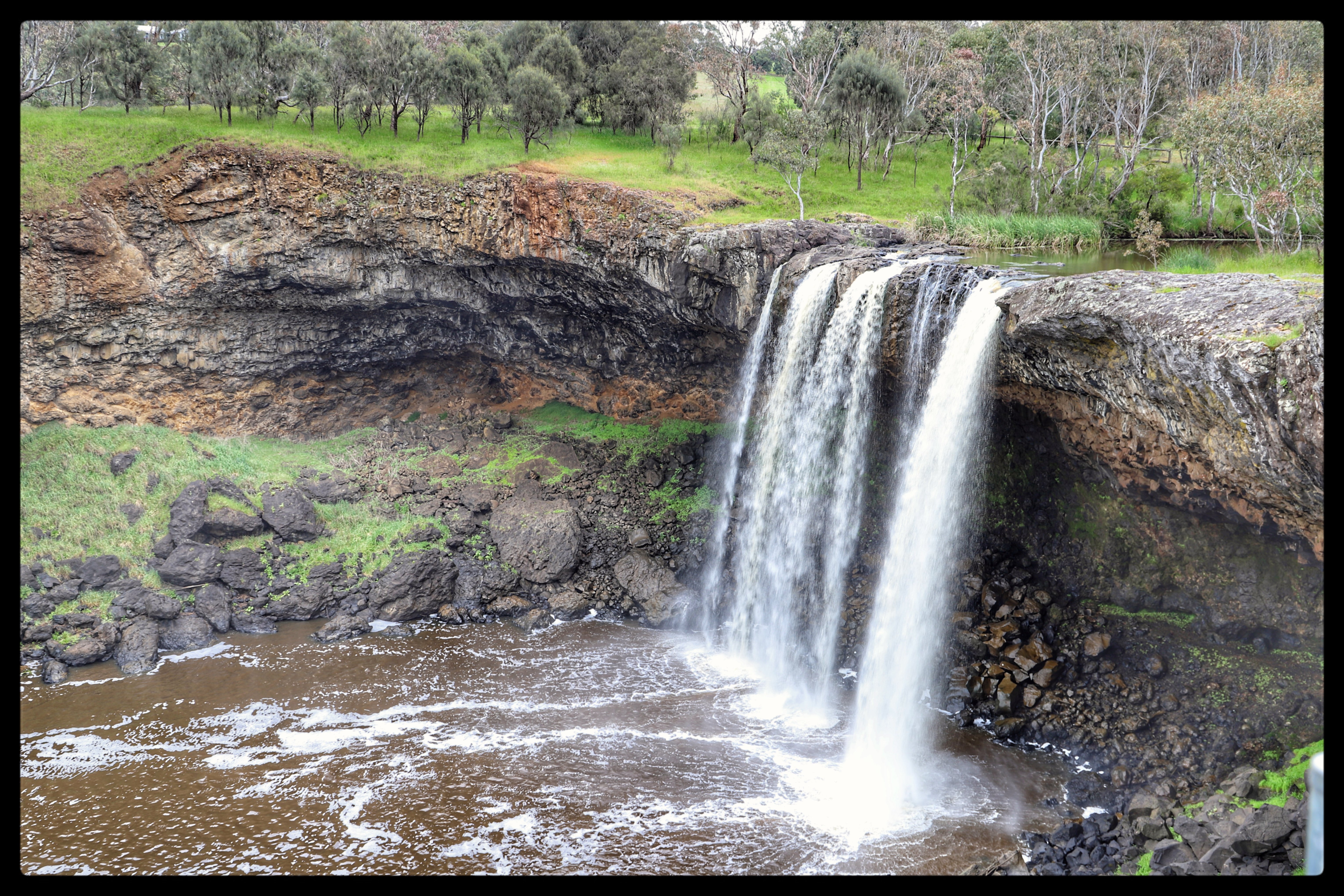
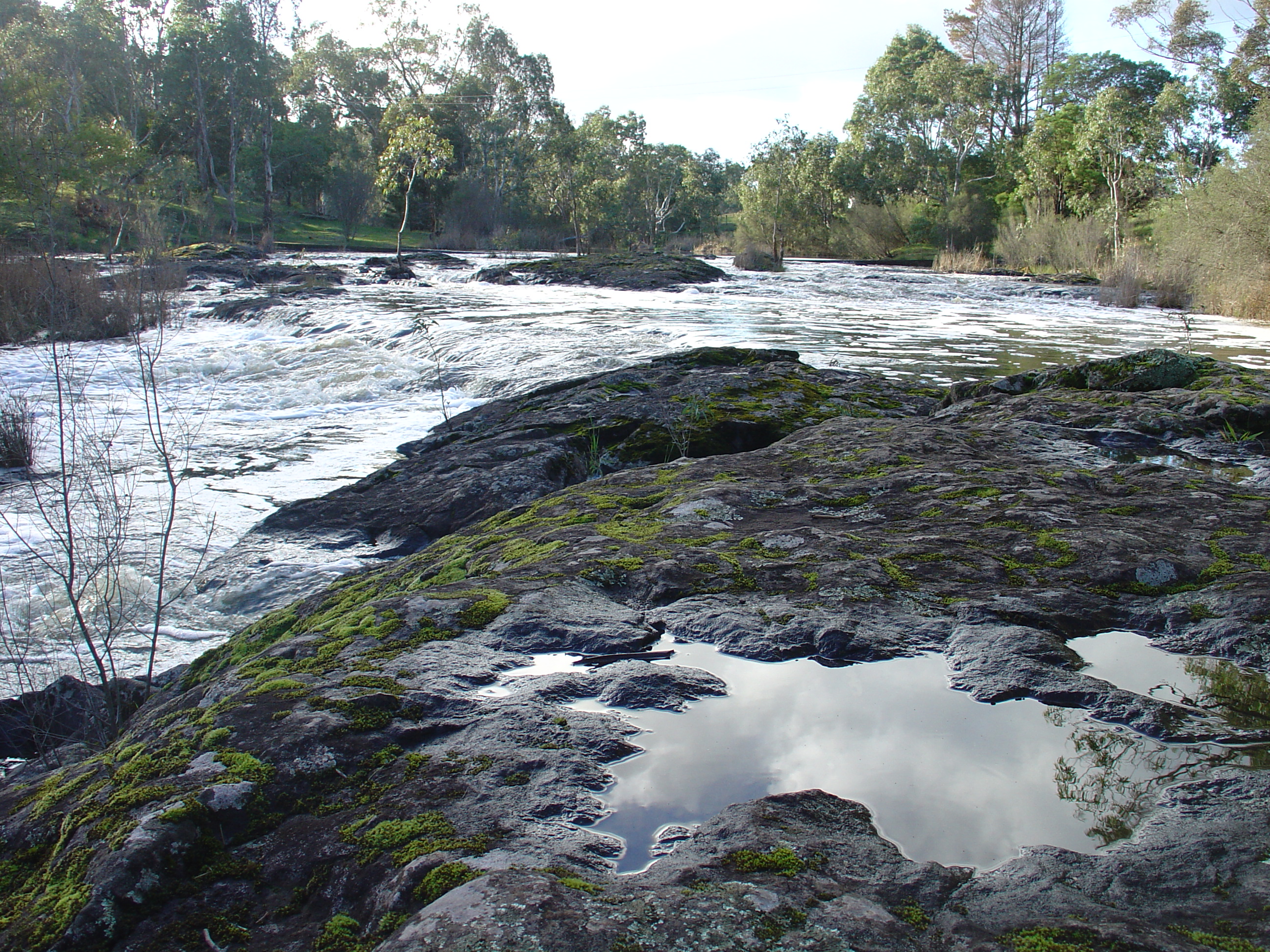
Hamilton -Wannon River just above the falls

Journey Home - Day 6 Mount Gambier Holiday
Hamilton -Wannon River just above the falls

IMG_0659_0_1TM-1
Landscape_Wannon Falls_Victoria_October 2012_DSC_1723_D

Landscape_Wannon Falls_Victoria_October 2012_DSC_1669_stitch_D
Wannon Falls
20070708_160133 Adelaide Road Trip (SONY) 345
Coleraine, Victoria, Australia

Journey Home - Day 6 Mount Gambier Holiday

Journey Home - Day 6 Mount Gambier Holiday

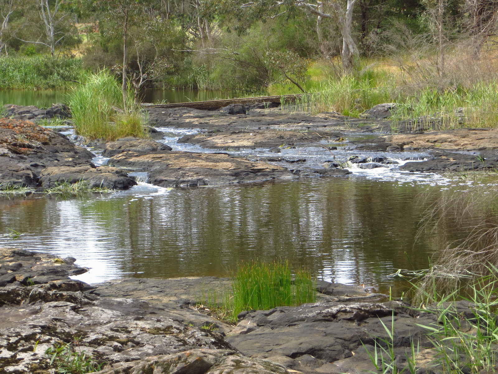
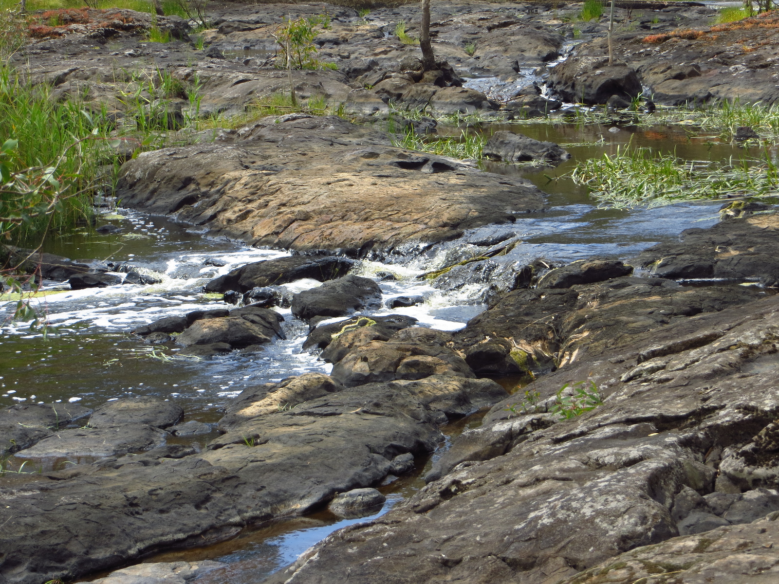
Drive to Wannon and Nigretta falls (3)
Topographic Map of Coleraine VIC, Australia
Find elevation by address:

Places near Coleraine VIC, Australia:
8 Annesley St
Merino
Southern Grampians Shire
Wando Vale
48 Jackson St
Casterton
69 Jackson St
7 Miller St
54 Russell St
5 Lonsdale St
Hamilton
Glenelg Shire
Warrock
8 Warrock Rd
Dartmoor
30 Laidlaw Ave
Edenhope
Natimuk
Penola
District Council Of Grant
Recent Searches:
- Elevation of Corso Fratelli Cairoli, 35, Macerata MC, Italy
- Elevation of Tallevast Rd, Sarasota, FL, USA
- Elevation of 4th St E, Sonoma, CA, USA
- Elevation of Black Hollow Rd, Pennsdale, PA, USA
- Elevation of Oakland Ave, Williamsport, PA, USA
- Elevation of Pedrógão Grande, Portugal
- Elevation of Klee Dr, Martinsburg, WV, USA
- Elevation of Via Roma, Pieranica CR, Italy
- Elevation of Tavkvetili Mountain, Georgia
- Elevation of Hartfords Bluff Cir, Mt Pleasant, SC, USA