Elevation of Habiganj District, Bangladesh
Location: Bangladesh > Sylhet Division >
Longitude: 91.4506565
Latitude: 24.4771236
Elevation: 12m / 39feet
Barometric Pressure: 101KPa
Elevation Map:
Satellite Map:
Related Photos:

For Better View :

For Better View :
Royal Poinciana Tree

Rice Harvest 2014

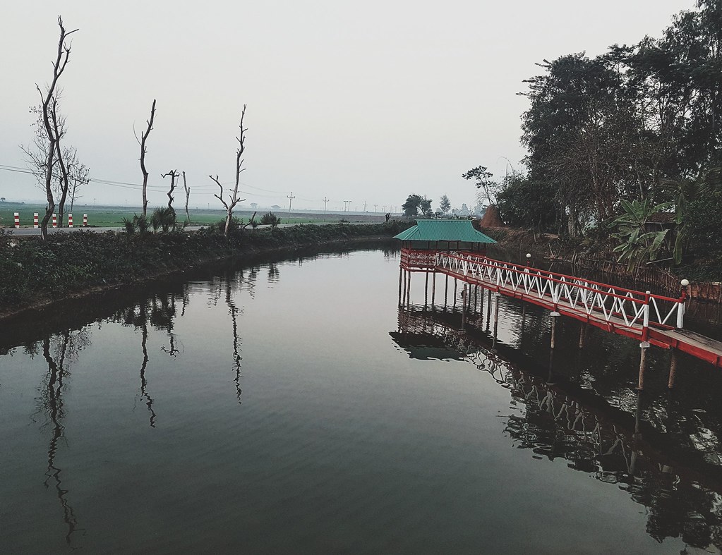
All 3 elements of earth.

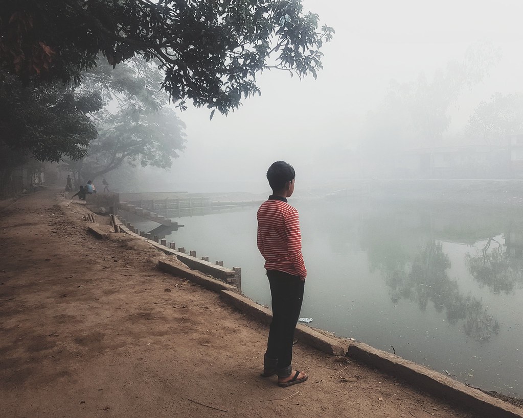
Among my swan

Migrant Workers Khan Bari, Rice Fields, Portrait

Migrant Workers-Khan Bari Rice Fields

Portrait of brother Khan

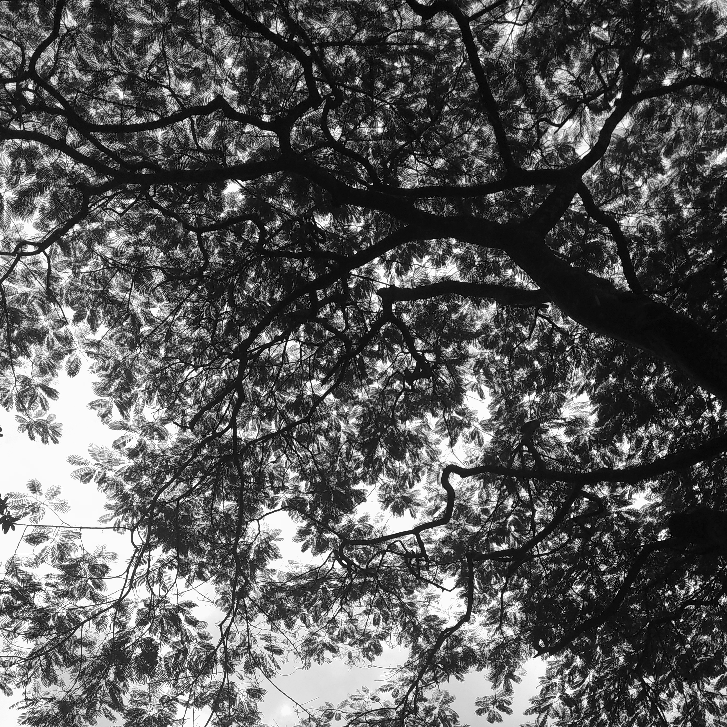
Tree Branch

20170202_204149-01

20170201_172008-01

20170201_171221-01

20170201_134730-01

20170201_130934-01

20170201_095721-01

20170201_094241(0)-01
20170201_094443-01

20170131_161714-01

20170131_113728-01
2017-02-01 12.18.57 1
20170130_173946-01

2017-01-30 06.53.30 1
Topographic Map of Habiganj District, Bangladesh
Find elevation by address:

Places in Habiganj District, Bangladesh:
Places near Habiganj District, Bangladesh:
Jagannathpur Upazila
Sylhet Division
Sreemangal
Moulvi Bazar District
Balaganj Upazila
Dakshin Sunamganj Upazila
Bishwanath Upazila
Fenchuganj Upazila
Dakshin Surma Upazila
Dowarabazar Upazila
Keane Bridge, Sylhet
Keane Bridge
Sylhet
Sunamganj
Sylhet Sadar Upazila
Sunamganj Sadar Upazila
Sylhet District
Chhatak
Golapganj
Barthal
Recent Searches:
- Elevation of Corso Fratelli Cairoli, 35, Macerata MC, Italy
- Elevation of Tallevast Rd, Sarasota, FL, USA
- Elevation of 4th St E, Sonoma, CA, USA
- Elevation of Black Hollow Rd, Pennsdale, PA, USA
- Elevation of Oakland Ave, Williamsport, PA, USA
- Elevation of Pedrógão Grande, Portugal
- Elevation of Klee Dr, Martinsburg, WV, USA
- Elevation of Via Roma, Pieranica CR, Italy
- Elevation of Tavkvetili Mountain, Georgia
- Elevation of Hartfords Bluff Cir, Mt Pleasant, SC, USA