Elevation of Balaganj Upazila, Bangladesh
Location: Sylhet > Sylhet District >
Longitude: 91.8240007
Latitude: 24.6548635
Elevation: 15m / 49feet
Barometric Pressure: 101KPa
Elevation Map:
Satellite Map:
Related Photos:

#River #view #Bus #journey #natural #sky #blue #trees #green #bridge #architect #visual #tact #long #road #sunny #day #beautiful #bangladesh

Sun is hiding behind the clouds.

Sun Set_2
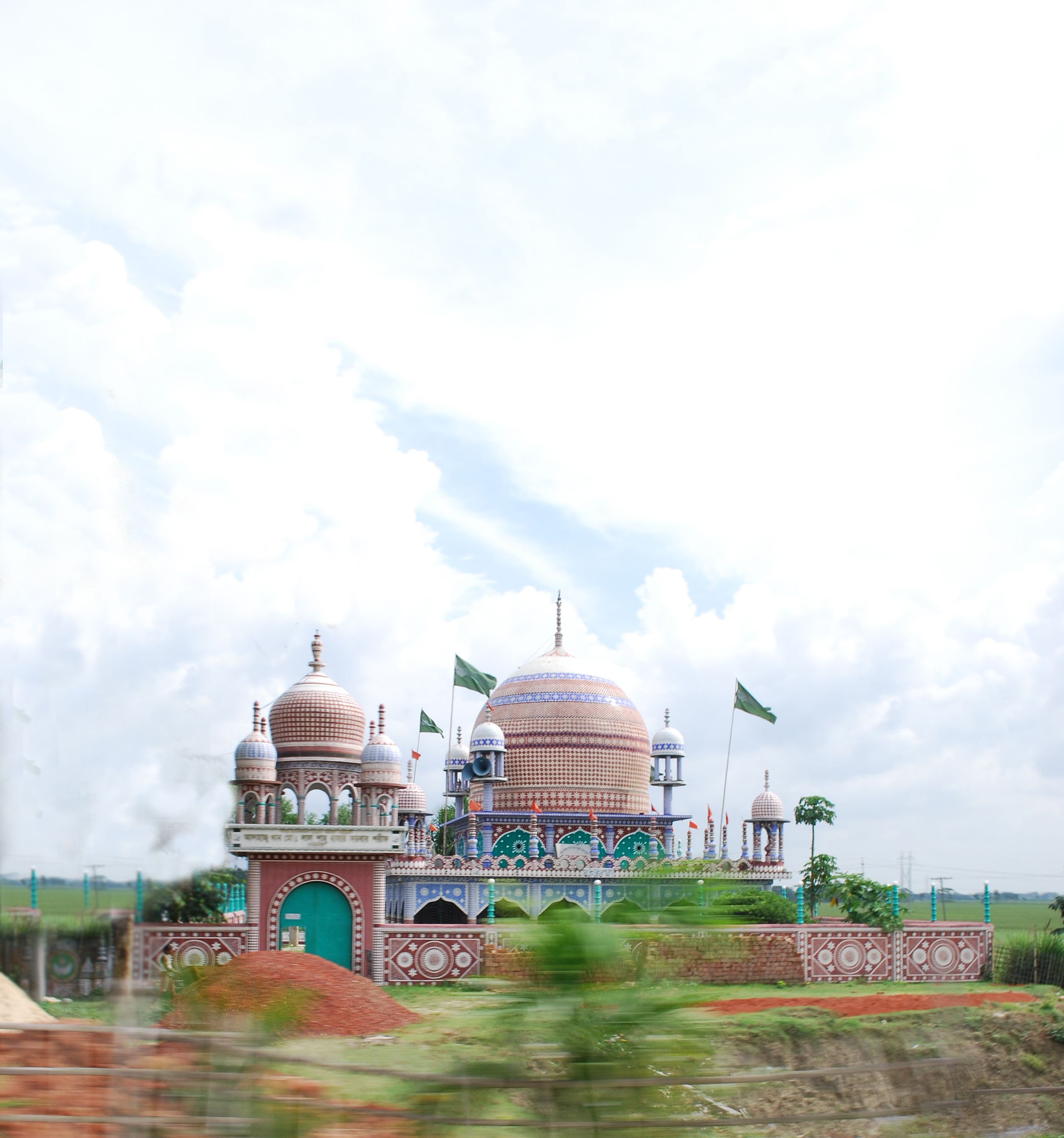
Colorful Mosque

IMG_20180715_170154-01

"The bank account done caught tha Holy Ghost!" @richforever #rosè #boss #santorini #huhh ????

IMG_6592.jpg

IMG_6591.jpg

The boat boy.....

Boat stand

Chilling out with Uncle

Family day out

Boat stand

Sun Set ☀

Cloudy evening ..
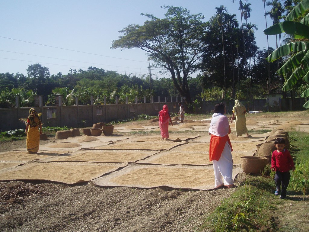
Rice crop being laid out to dry
Topographic Map of Balaganj Upazila, Bangladesh
Find elevation by address:

Places near Balaganj Upazila, Bangladesh:
Fenchuganj Upazila
Sylhet Division
Bishwanath Upazila
Dakshin Surma Upazila
Keane Bridge, Sylhet
Keane Bridge
Sylhet
Sylhet Sadar Upazila
Sylhet District
Golapganj
Jagannathpur Upazila
Barthal
Panchogar School & College
Moulvi Bazar District
Sreemangal
Beanibazar
Habiganj District
Chhatak
Dakshin Sunamganj Upazila
Gowainghat Upazila
Recent Searches:
- Elevation of Corso Fratelli Cairoli, 35, Macerata MC, Italy
- Elevation of Tallevast Rd, Sarasota, FL, USA
- Elevation of 4th St E, Sonoma, CA, USA
- Elevation of Black Hollow Rd, Pennsdale, PA, USA
- Elevation of Oakland Ave, Williamsport, PA, USA
- Elevation of Pedrógão Grande, Portugal
- Elevation of Klee Dr, Martinsburg, WV, USA
- Elevation of Via Roma, Pieranica CR, Italy
- Elevation of Tavkvetili Mountain, Georgia
- Elevation of Hartfords Bluff Cir, Mt Pleasant, SC, USA