Elevation of Gowainghat Upazila, Bangladesh

Location: Sylhet > Sylhet District >

Longitude: 91.9823324

Latitude: 25.0910204

Elevation: 11m / 36feet

Barometric Pressure: 101KPa

Elevation Map:

elevation map of Gowainghat Upazila, Bangladesh

Satellite Map:

Satellite map of Gowainghat Upazila, Bangladesh

Related Photos:

india bangladesh meghalaya
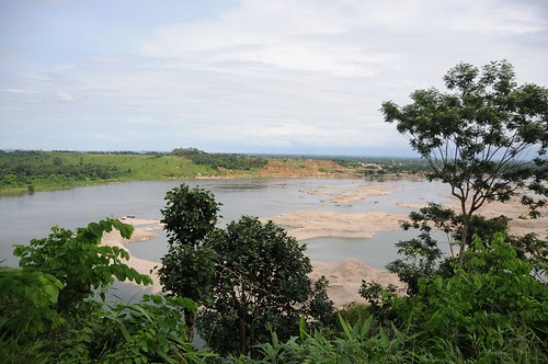
Bangladesh Landscape
eastkhasihillsmeghalayain surokmawlynnongmawlynnongm livingrootbridge wonderofmeghalaya cherrapunjee meghalaya india
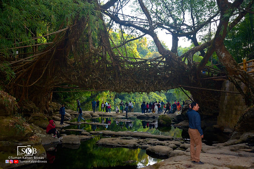
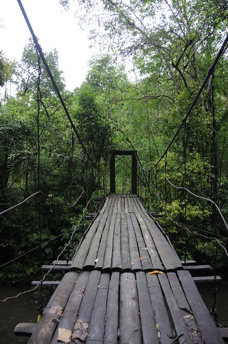
Living Root Bridge
syed mojaddedul islam sagor smisagor dhaka bangladesh canon eos 60d india incredible travel tour photography
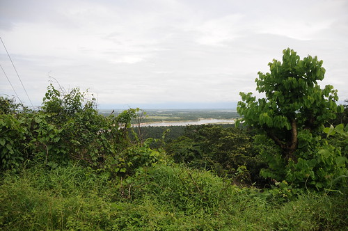
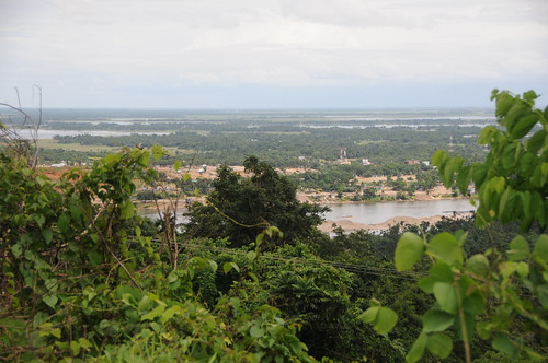
Bangladesh view from India - 1
travel landscape nature livingrootbridge shillong meghalayatourism shillongtourism meghalaya mawlynnong cherrapunjee india
Living Root Bridge
general forests meghalaya geo:dir=896 june2008 geo:lat=252077883333333 geo:lon=919522083333333 mawriang
Mawriang, Meghalaya
people sylhet bangladesh sarighatsharigoyainriverjaintiapur jaintiapurupazila
DSCF2153.Panaromic View.Balu Mahal, Sarighat, Shari-Goyain River, Jaintiapur, Sylhet 2013.jpg
india geotagged meghalaya northeastindia geo:dir=3483 geo:lat=25187365 geo:lon=920117516666667
CSP_4437.JPG
india geotagged meghalaya northeastindia geo:dir=287 geo:lat=25214275 geo:lon=919506266666667
CSP_4390.JPG
india geotagged meghalaya northeastindia geo:dir=53 geo:lat=251873433333333 geo:lon=920117266666667
CSP_4436.JPG
india geotagged meghalaya northeastindia geo:dir=111 geo:lat=251936266666667 geo:lon=919995166666667
CSP_4432.JPG
rivers meghalaya geo:dir=53 june2008 bakur geo:lat=251873433333333 geo:lon=920117266666667 riverbasins
Bakur, Meghalaya
india geotagged meghalaya northeastindia geo:dir=919 geo:lat=252139366666667 geo:lon=919624033333333
CSP_4423.JPG
india geotagged meghalaya northeastindia geo:dir=3483 geo:lat=251873666666667 geo:lon=920117533333333
CSP_4438.JPG
india geotagged meghalaya northeastindia geo:dir=1238 geo:lat=2518939 geo:lon=920054433333333
CSP_4435.JPG
general forests meghalaya geo:dir=65 june2008 geo:lat=252077983333333 geo:lon=9195221 mawriang
Mawriang, Meghalaya
india geotagged meghalaya northeastindia geo:dir=184 geo:lat=251868766666667 geo:lon=920172716666667
CSP_4440.JPG
india geotagged meghalaya northeastindia geo:dir=1001 geo:lat=251894266666667 geo:lon=920053383333333
CSP_4433.JPG
india geotagged meghalaya northeastindia geo:dir=785 geo:lat=252142283333333 geo:lon=919505283333333
CSP_4393.JPG
india geotagged meghalaya northeastindia geo:dir=2325 geo:lat=2521408 geo:lon=919532983333333
CSP_4381.JPG
rivers meghalaya june2008 geo:dir=1216 bakur geo:lat=251900983333333 geo:lon=920188633333333 riverbasins
Bakur, Meghalaya
india geotagged meghalaya northeastindia geo:dir=785 geo:lat=25214185 geo:lon=9195043
CSP_4394.JPG
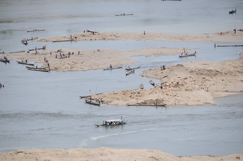
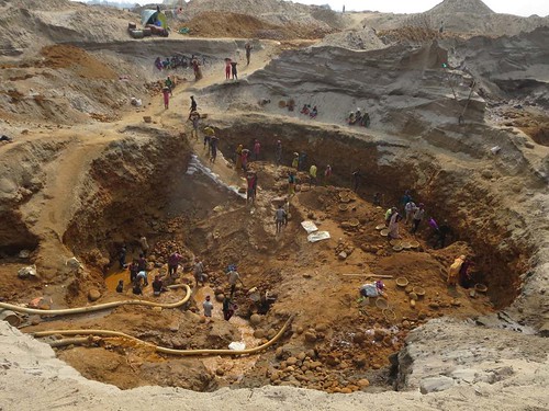
quarry goyain river jaflong bangladesh
Quarry Pit
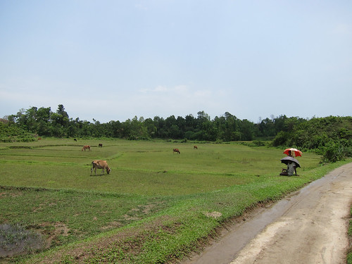
tourism nature beauty field landscape outdoor hill hills mountainside grassland bangladesh bazar foothill jaglong
The picturesque ''Jaflong''
bangladeshi tourists indian border jaflong bangladesh
Bangladeshi Tourists
hill sylhet nicon adiyatanan
Sylhet Hills
india meghalaya mawlynnong
Waterfalls in the Backyard
_MG_1479-HDR
meghalaya dawki jaflong hillvillage
A Hill Village
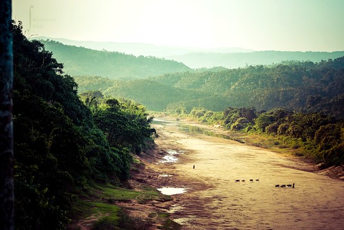
landscape riverbed sylhet bangladesh southasian driedup lalakhal shaririver
Dusk at a river bed
places landscapenatureplaces
Haripur Gas Field-3.jpg
sylhet bangladesh lalakhal
Lalakhal, Joyentapur, Sylhet
sylhet bangladesh haripur
IMG_6341.jpg
places landscapenatureplaces
Haripur Gas Field-4.jpg
sylhet bangladesh haripur
IMG_6347.jpg
places landscapenatureplaces
Haripur Gas Field-2.jpg
india river bangladesh quarry jaflong goyain
Goyain River at Jaflong
Day Break...
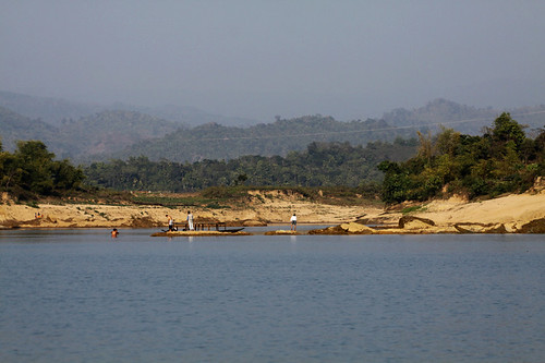
Umngot River
dauki river meghalaya northeastindia india asia northeast evening boating hills landscape incredibleindia lovelyindia gonortheast shillong lonelyplanetindia lonelyplanet natgeo earth sunlight realindia discovery discoveryindia
An Evening at Dauki River