Elevation of Double Root Bridge, Nongriat, Meghalaya, India
Location: India > Meghalaya > East Khasi Hills >
Longitude: 91.6719691
Latitude: 25.25126
Elevation: 384m / 1260feet
Barometric Pressure: 97KPa
Elevation Map:
Satellite Map:
Related Photos:

Kutmadan Village (Cherrapunjee)

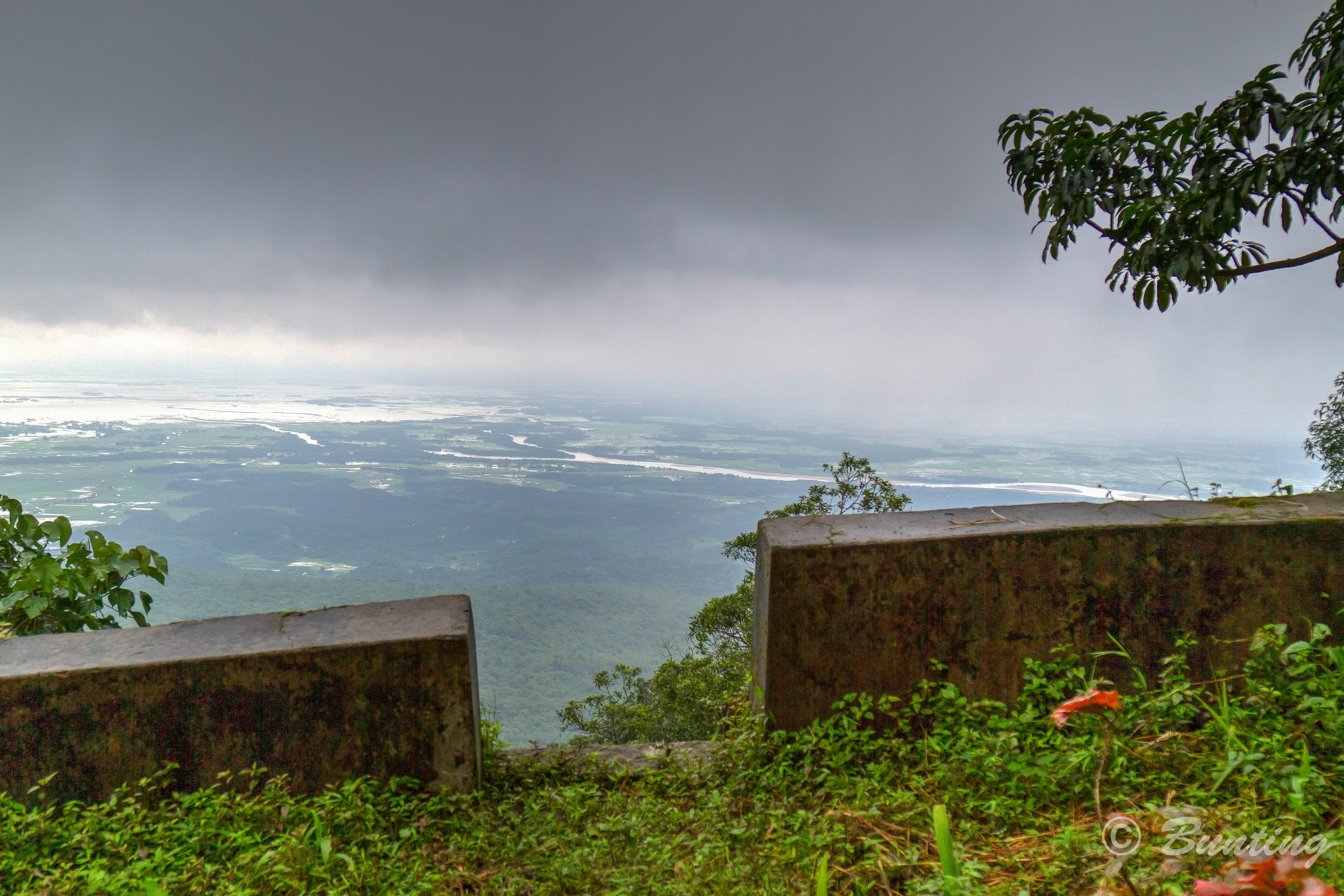
View of the East Khasi Hills from Thangkharang.

Living Root Bridge

Nature's Womb (2)
View of Bangladesh from near Indian village of Siet.

Eco Park (Origin point of Nohsngithiang Falls)
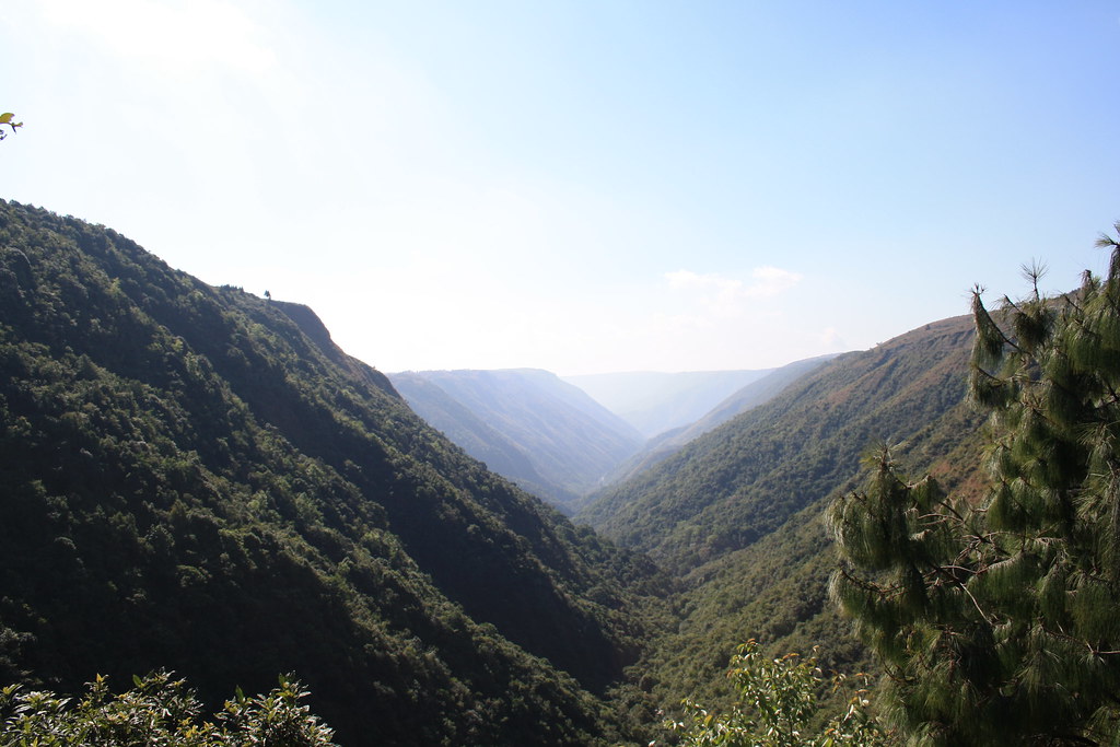
Dympep Velly View Point

Dympep Velly View Point

At Dympep Velly View Point

Dongshiling, Meghalaya

Cherrapunjee, Meghalaya

Cherrapunjee, Meghalaya

Cherrapunjee, Meghalaya

Dongshiling, Meghalaya

Dongshiling, Meghalaya

Dongshiling, Meghalaya

Dongshiling, Meghalaya

Dongshiling, Meghalaya

Dongshiling, Meghalaya

Dongshiling, Meghalaya

Dongshiling, Meghalaya

The tallest waterfall in India
Heterogeneous Responsibilities

Umkar Living Bridge near the village of Siet
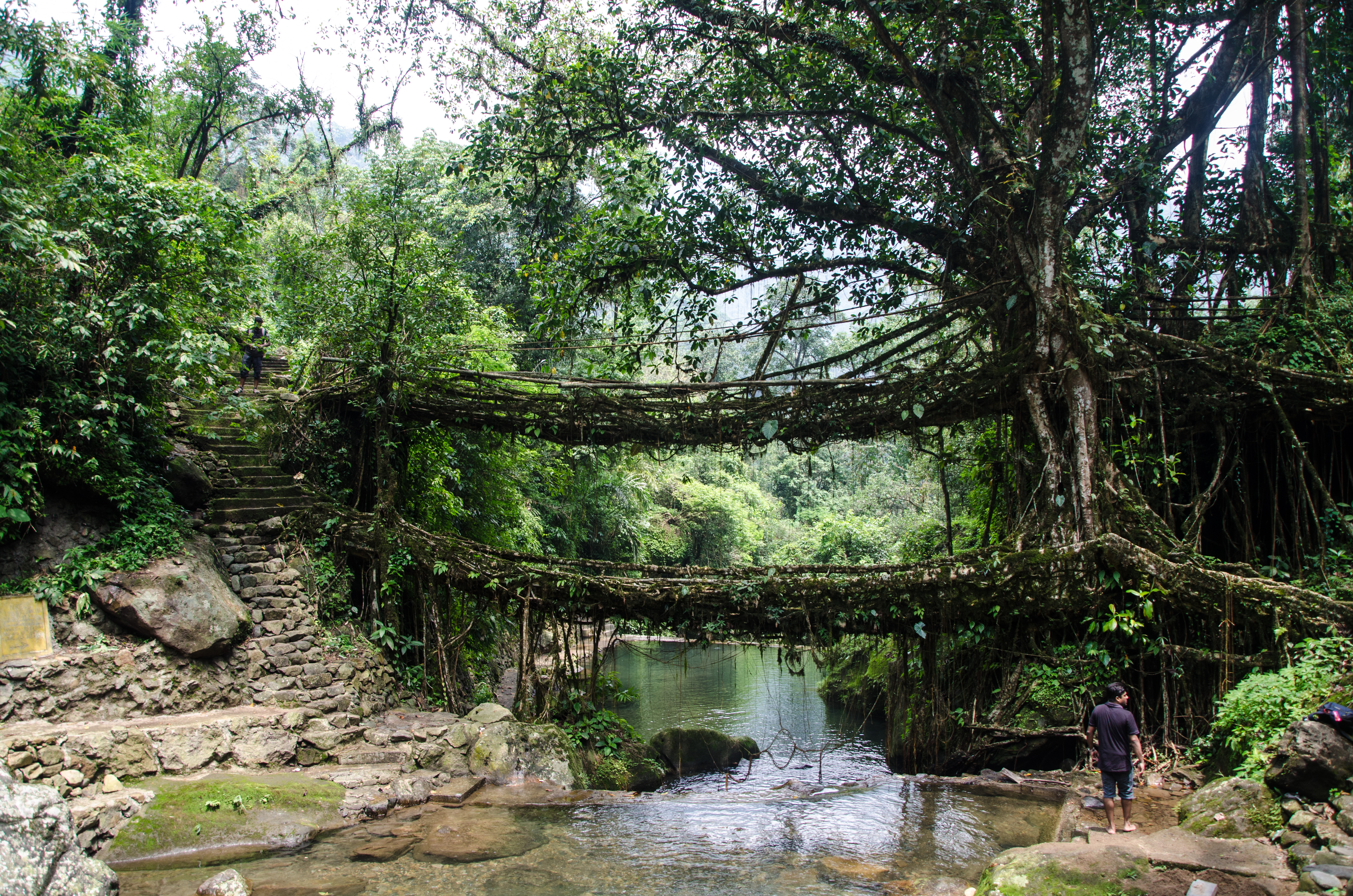
Double Decker Living Root Bridge

Umkar Living Bridge near the village of Siet

Umkar Living Bridge near the village of Siet

Nohkalikai Falls

Nohkalikai water falls

Nohkalikai Falls

Nohkalikai Falls

Downhill through steep gorges along ancient trading routes to Bangladesh

NohKaLiKai Falls #FallsOfMeghalaya #sohra#cherrapunji #Meghalaya It is the tallest (340 mts) plunge waterfall in India. It is one of the most visited tourist spot in Chetra punji, however it has a rather gruesome legend attached to it, read more on wi

IMG_20180630_144639710_HDR-01

Heaven's Worker

Football Ground (Cherrapunjee)

Cherrapunjee (Wettest Place)
Seven Sister's Falls (Cherrapunjee)
Topographic Map of Double Root Bridge, Nongriat, Meghalaya, India
Find elevation by address:

Places near Double Root Bridge, Nongriat, Meghalaya, India:
Rainbow Falls
Cherrapunjee
Cherapunjee View Point
Chhatak
Dowarabazar Upazila
Mawlynnong
Sunamganj Sadar Upazila
Sunamganj
Shnongpdeng
Gowainghat Upazila
Dawki
Dakshin Sunamganj Upazila
Sylhet District
Sylhet Sadar Upazila
Sylhet
Keane Bridge
Keane Bridge, Sylhet
Bishwanath Upazila
Jaintapur
Dakshin Surma Upazila
Recent Searches:
- Elevation of Corso Fratelli Cairoli, 35, Macerata MC, Italy
- Elevation of Tallevast Rd, Sarasota, FL, USA
- Elevation of 4th St E, Sonoma, CA, USA
- Elevation of Black Hollow Rd, Pennsdale, PA, USA
- Elevation of Oakland Ave, Williamsport, PA, USA
- Elevation of Pedrógão Grande, Portugal
- Elevation of Klee Dr, Martinsburg, WV, USA
- Elevation of Via Roma, Pieranica CR, Italy
- Elevation of Tavkvetili Mountain, Georgia
- Elevation of Hartfords Bluff Cir, Mt Pleasant, SC, USA